Elevation of Browder, KY, USA
Location: United States > Kentucky > Muhlenberg County >
Longitude: -87.037074
Latitude: 37.197853
Elevation: 130m / 427feet
Barometric Pressure: 100KPa
Elevation Map:
Satellite Map:
Related Photos:

Proud of the Past... Central City, Kentucky

Lake Malone damselfly...

room with no view

Gourmet Express - Greenville, Kentucky (February 2013 aerial assignment)
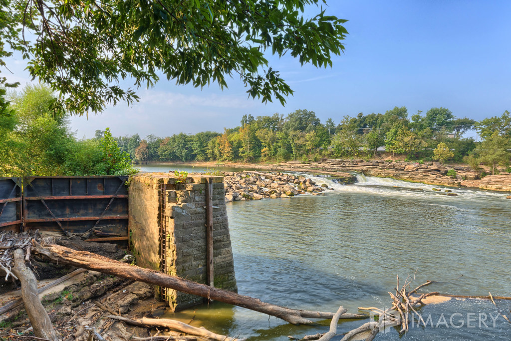
Green River Lock & Dam #3 - Rochester
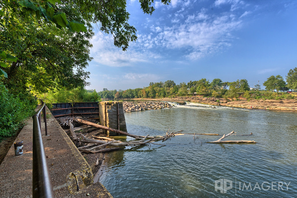
Green River Lock & Dam #3 - Rochester

alone in a crowd

Lake Malone strata...

lil' pumpkins

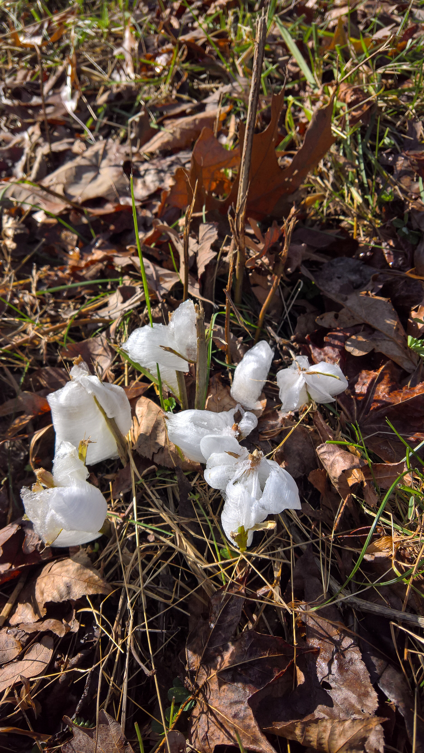
WP_20151122_10_00_09_Rich_LI.jpg
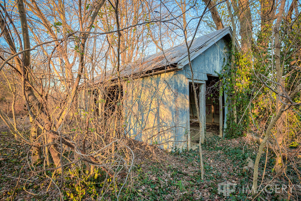
Green River Lock & Dam #3 - Garage
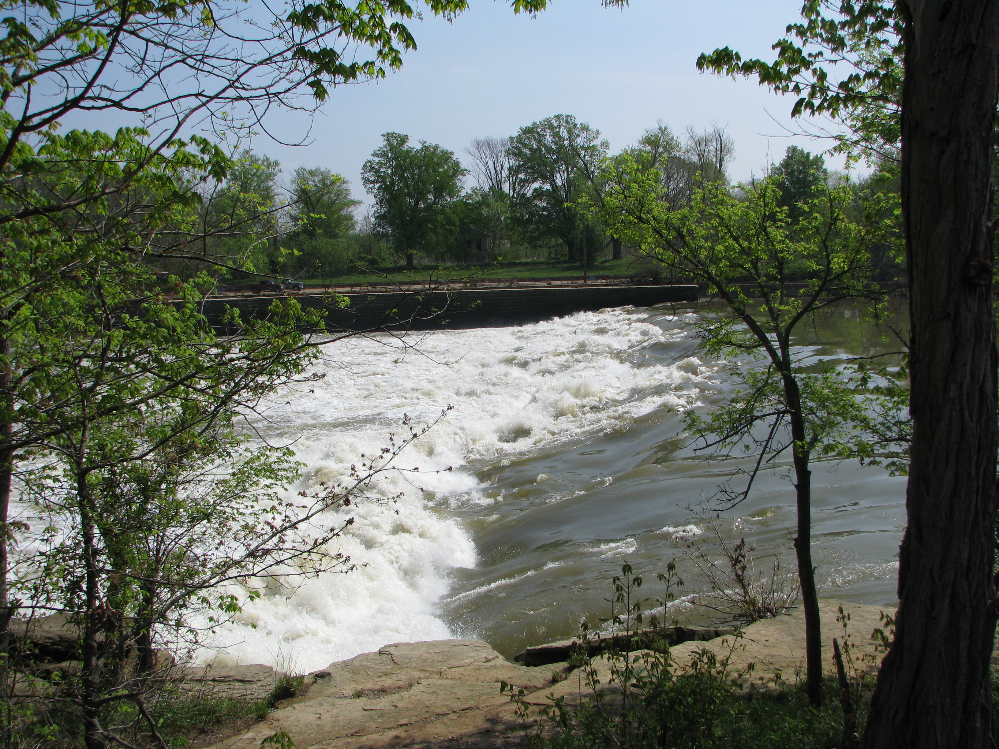
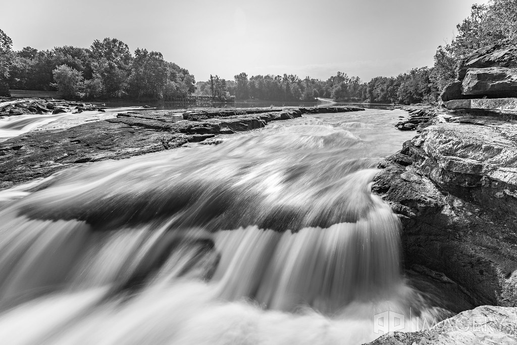
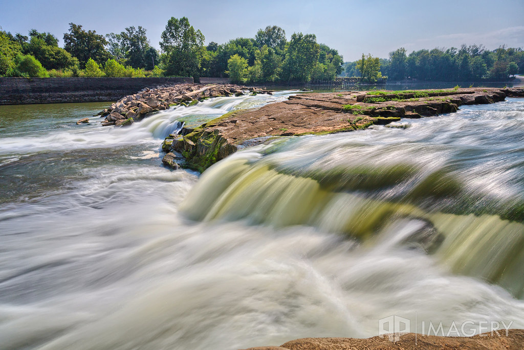
The falls at Lock #3
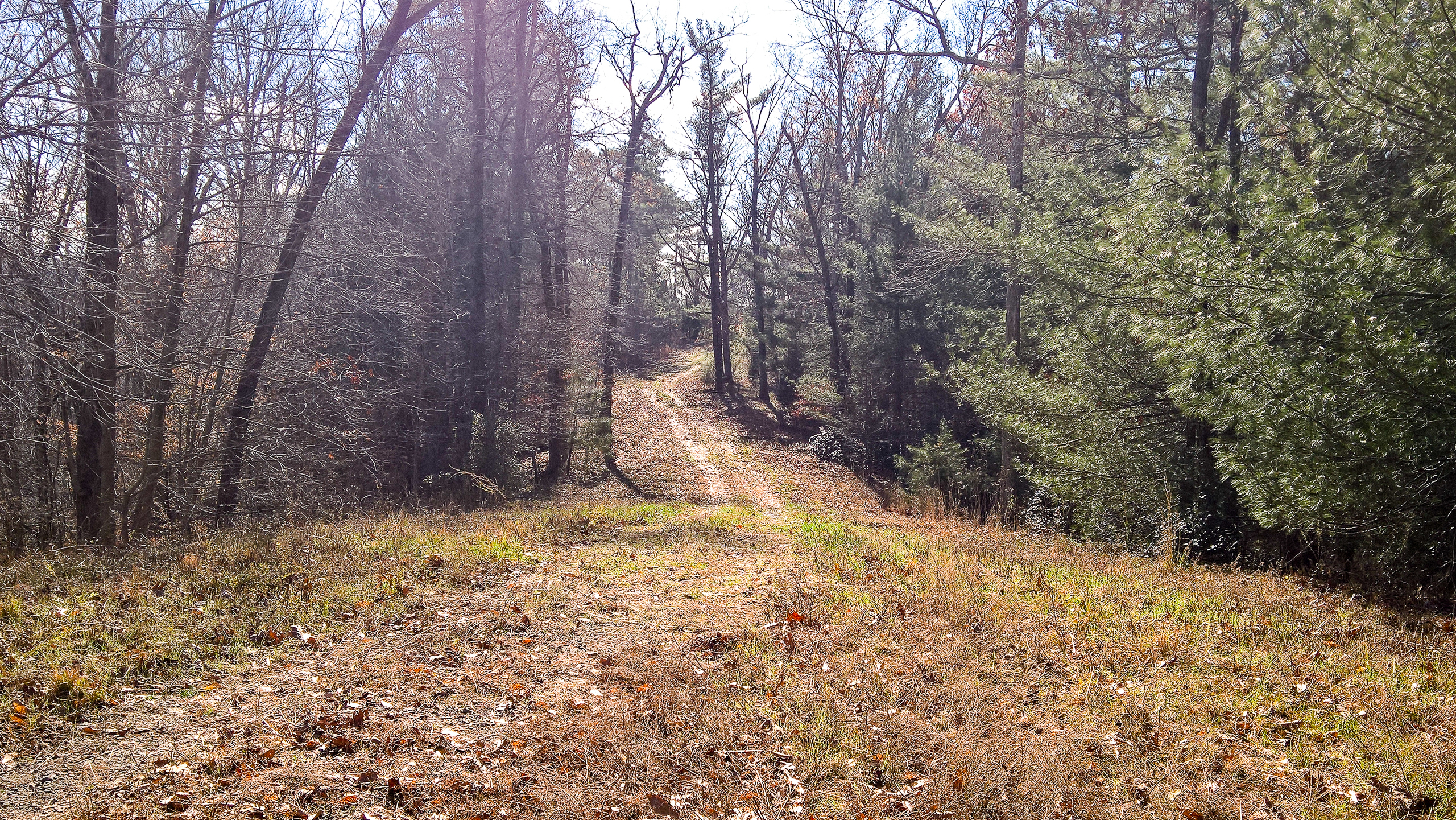
WP_20151122_10_00_16_Rich_LI.jpg
WP_20151122_10_05_23_Pro_LI.jpg
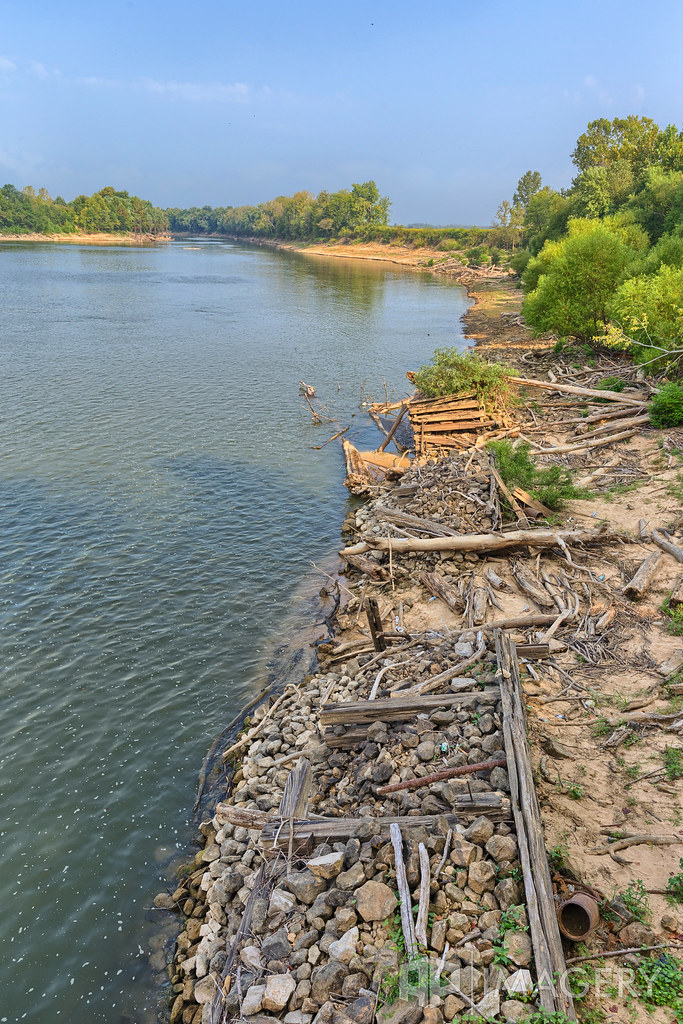
Green River Lock & Dam #3 - Rochester
Green River Lock & Dam #3 - Rochester
Green River Lock & Dam #3 - Rochester
Topographic Map of Browder, KY, USA
Find elevation by address:

Places in Browder, KY, USA:
Places near Browder, KY, USA:
US-, Browder, KY, USA
Drakesboro
1820 Ky-70
Beech Creek Rd, Beech Creek, KY, USA
Beech Creek
Belton
Old Nonnel Ln, Drakesboro, KY, USA
260 Myers Chapel Rd
331 Kameron St
KY-, Drakesboro, KY, USA
Muhlenberg County
Everly Brothers Blvd, Powderly, KY, USA
129 Pendley St
Powderly
W Main St, Powderly, KY, USA
318 Fox Dr
Greenville
Rochester
271 Arndell Rd
Recent Searches:
- Elevation of Corso Fratelli Cairoli, 35, Macerata MC, Italy
- Elevation of Tallevast Rd, Sarasota, FL, USA
- Elevation of 4th St E, Sonoma, CA, USA
- Elevation of Black Hollow Rd, Pennsdale, PA, USA
- Elevation of Oakland Ave, Williamsport, PA, USA
- Elevation of Pedrógão Grande, Portugal
- Elevation of Klee Dr, Martinsburg, WV, USA
- Elevation of Via Roma, Pieranica CR, Italy
- Elevation of Tavkvetili Mountain, Georgia
- Elevation of Hartfords Bluff Cir, Mt Pleasant, SC, USA