Elevation of Old Nonnel Ln, Drakesboro, KY, USA
Location: United States > Kentucky > Muhlenberg County > Drakesboro >
Longitude: -87.059930
Latitude: 37.2373507
Elevation: 135m / 443feet
Barometric Pressure: 100KPa
Elevation Map:
Satellite Map:
Related Photos:

Proud of the Past... Central City, Kentucky

Gourmet Express - Greenville, Kentucky (February 2013 aerial assignment)

room with no view
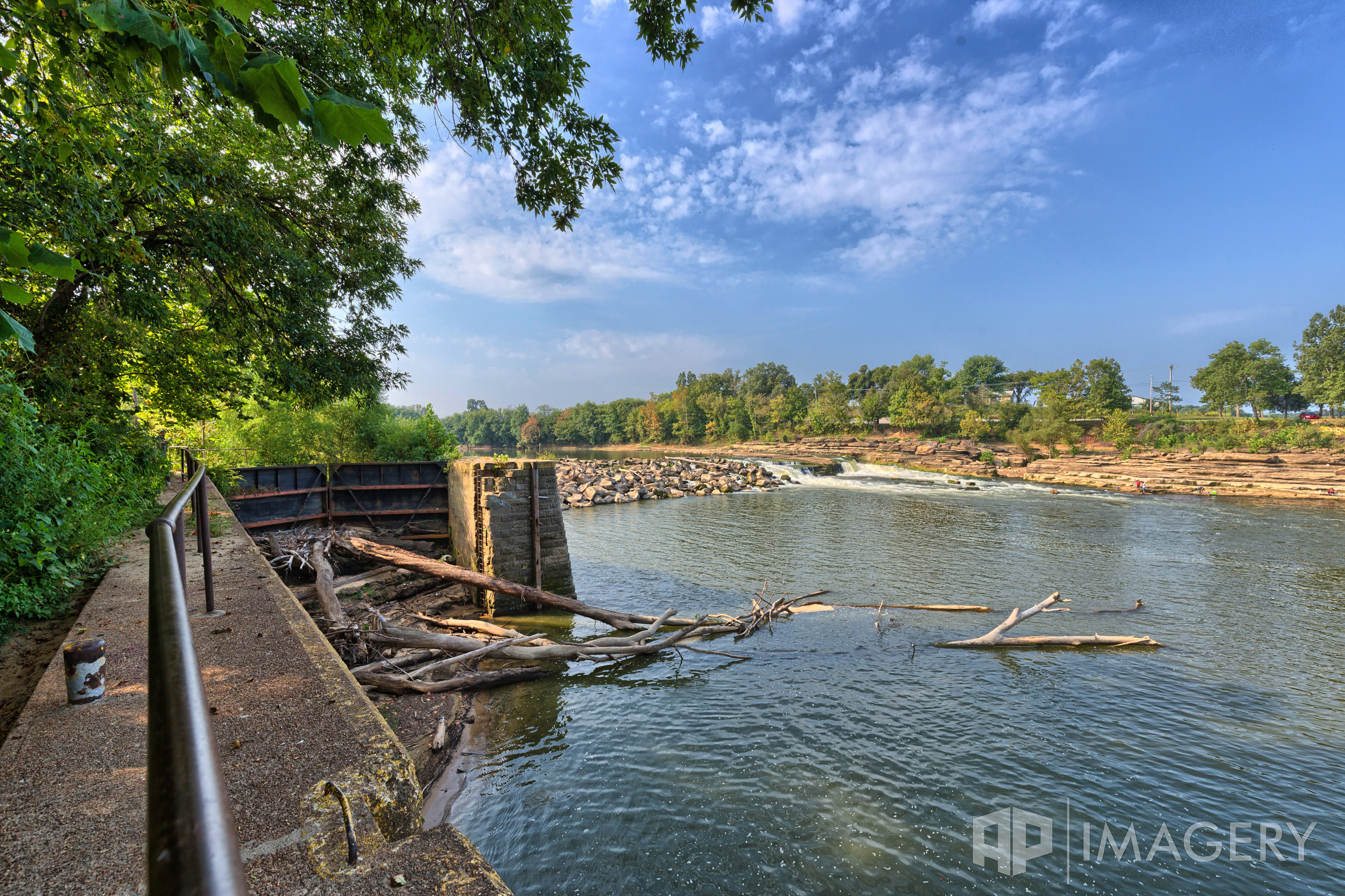
Green River Lock & Dam #3 - Rochester
Green River Lock & Dam #3 - Rochester

lil' pumpkins
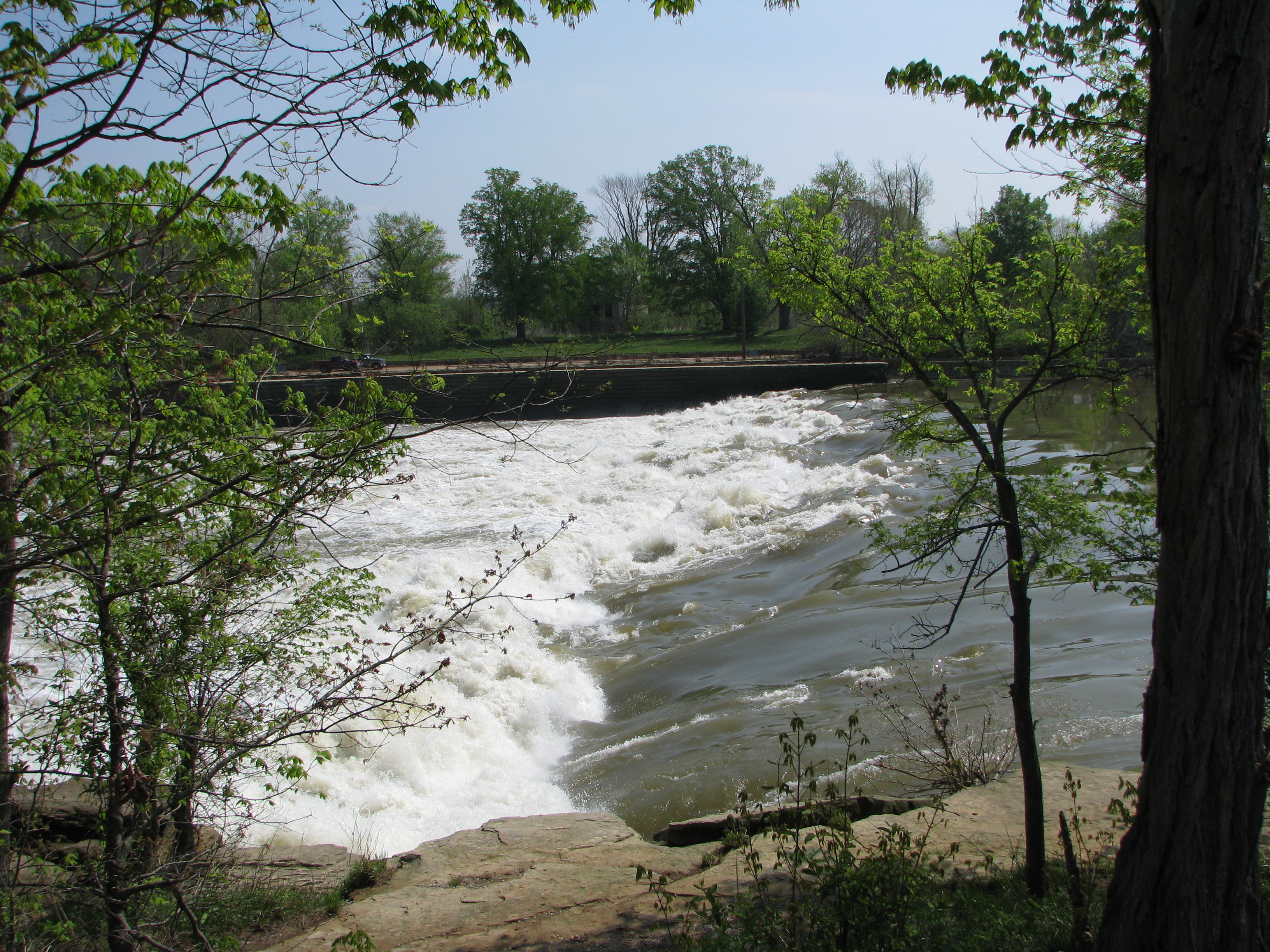
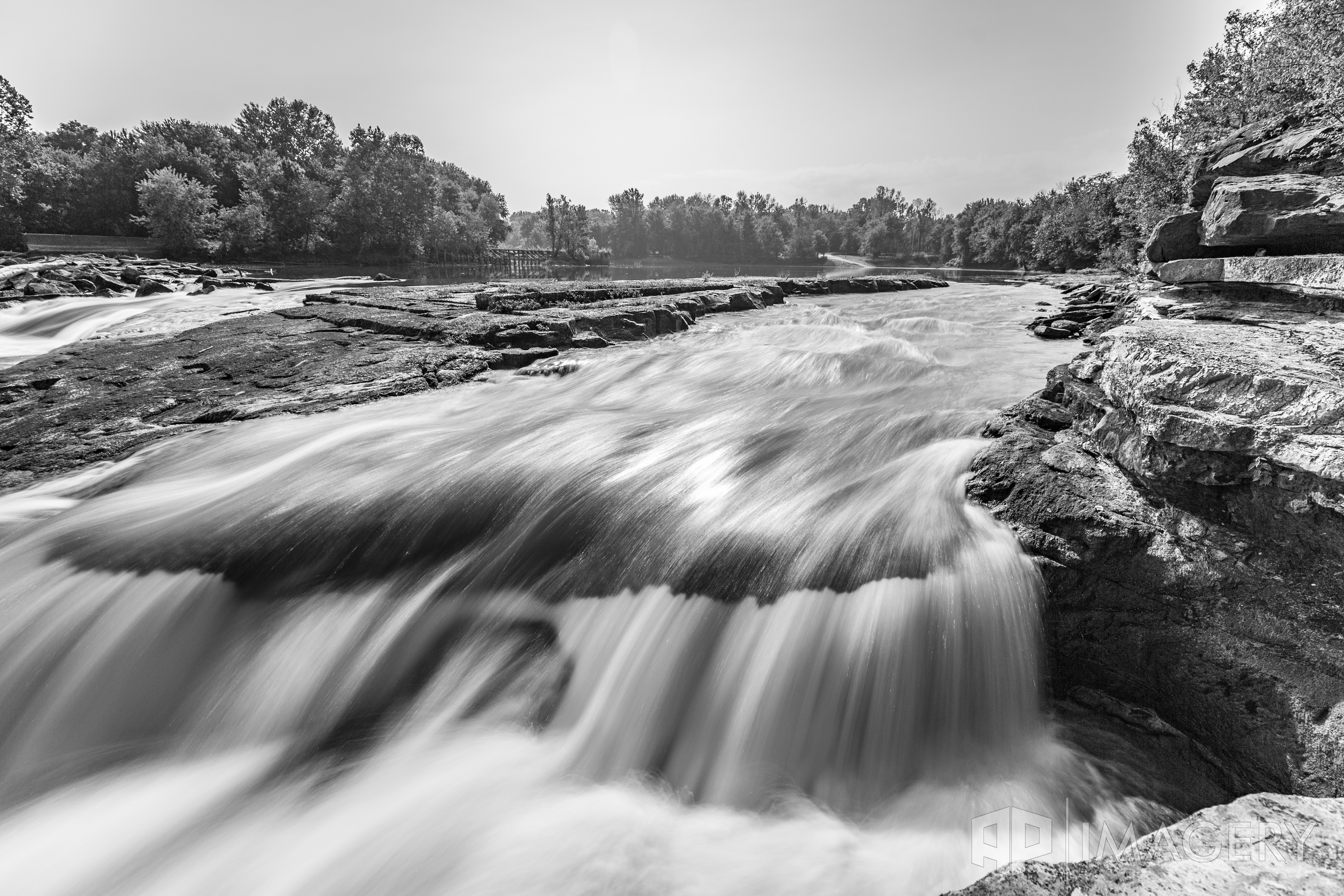
The falls at Lock #3
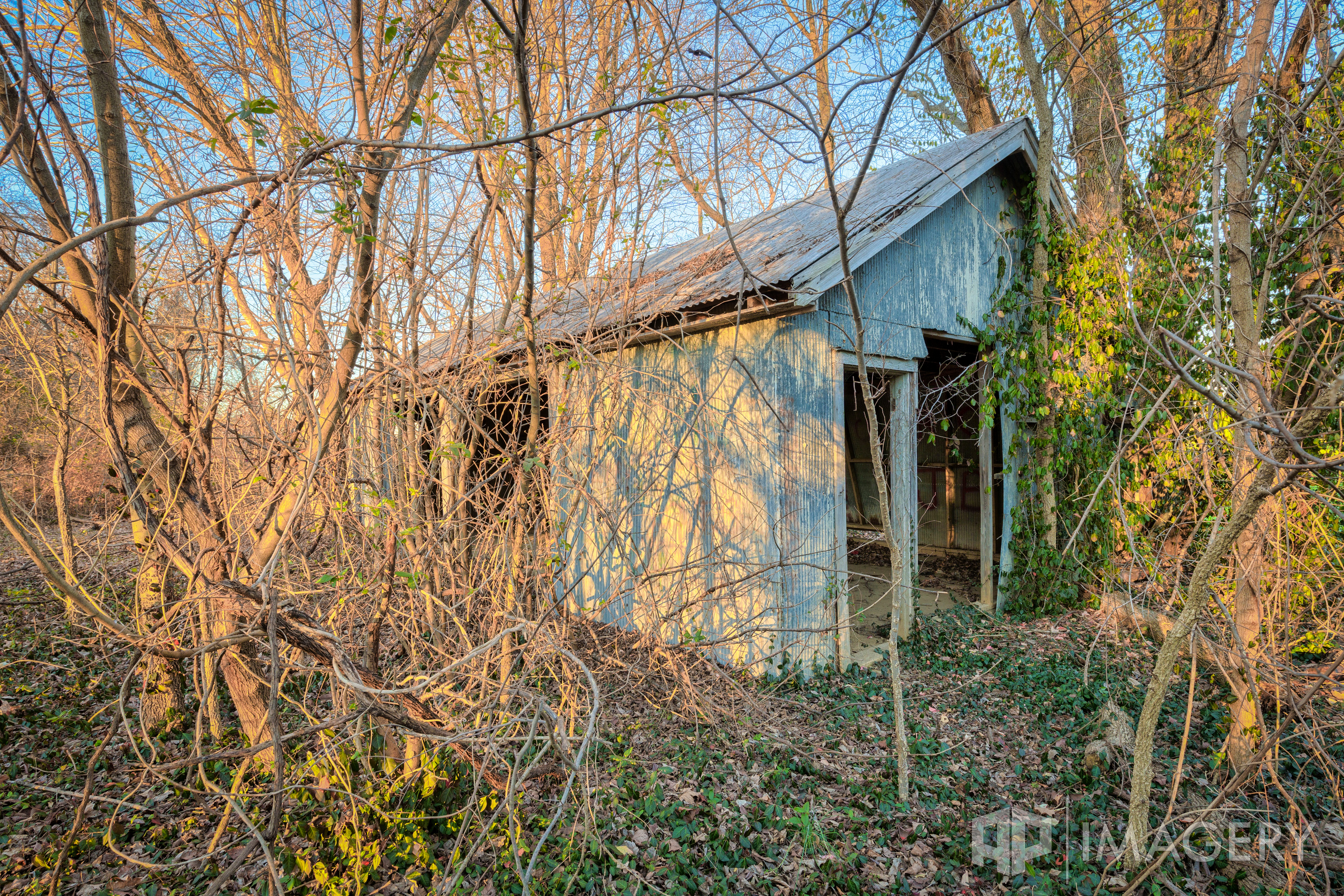
Green River Lock & Dam #3 - Garage
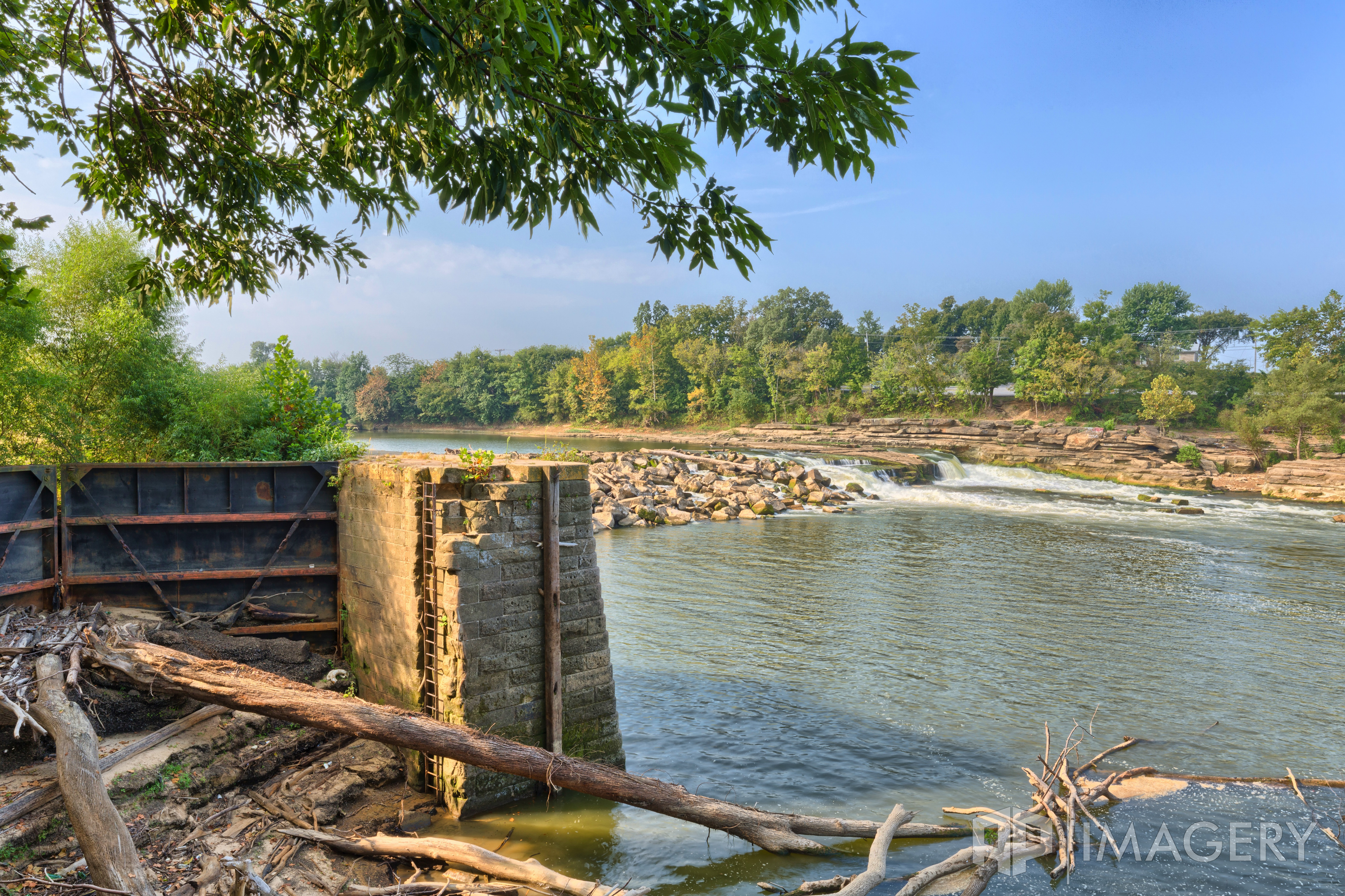
Green River Lock & Dam #3 - Rochester
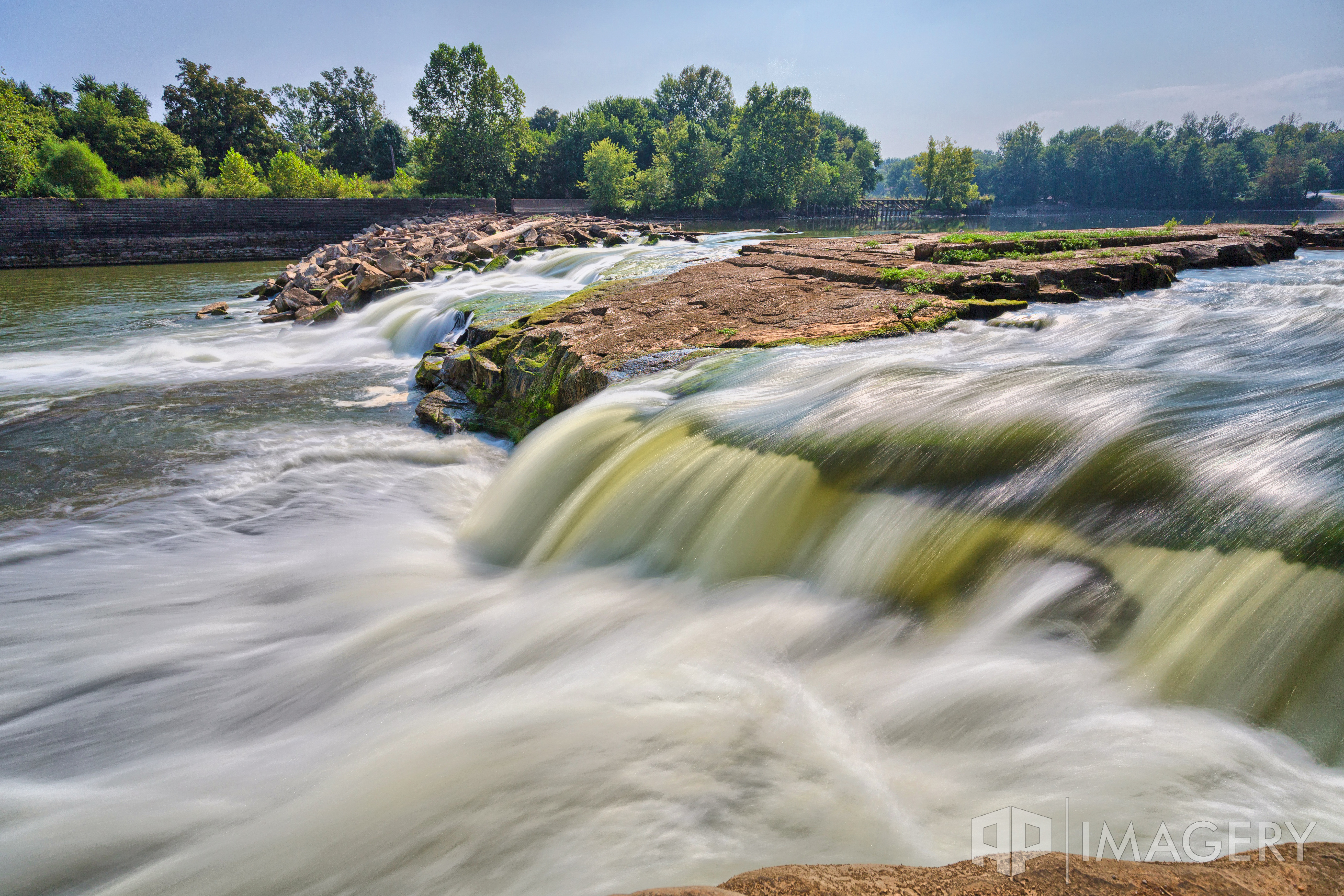
Green River Lock & Dam #3 - Rochester
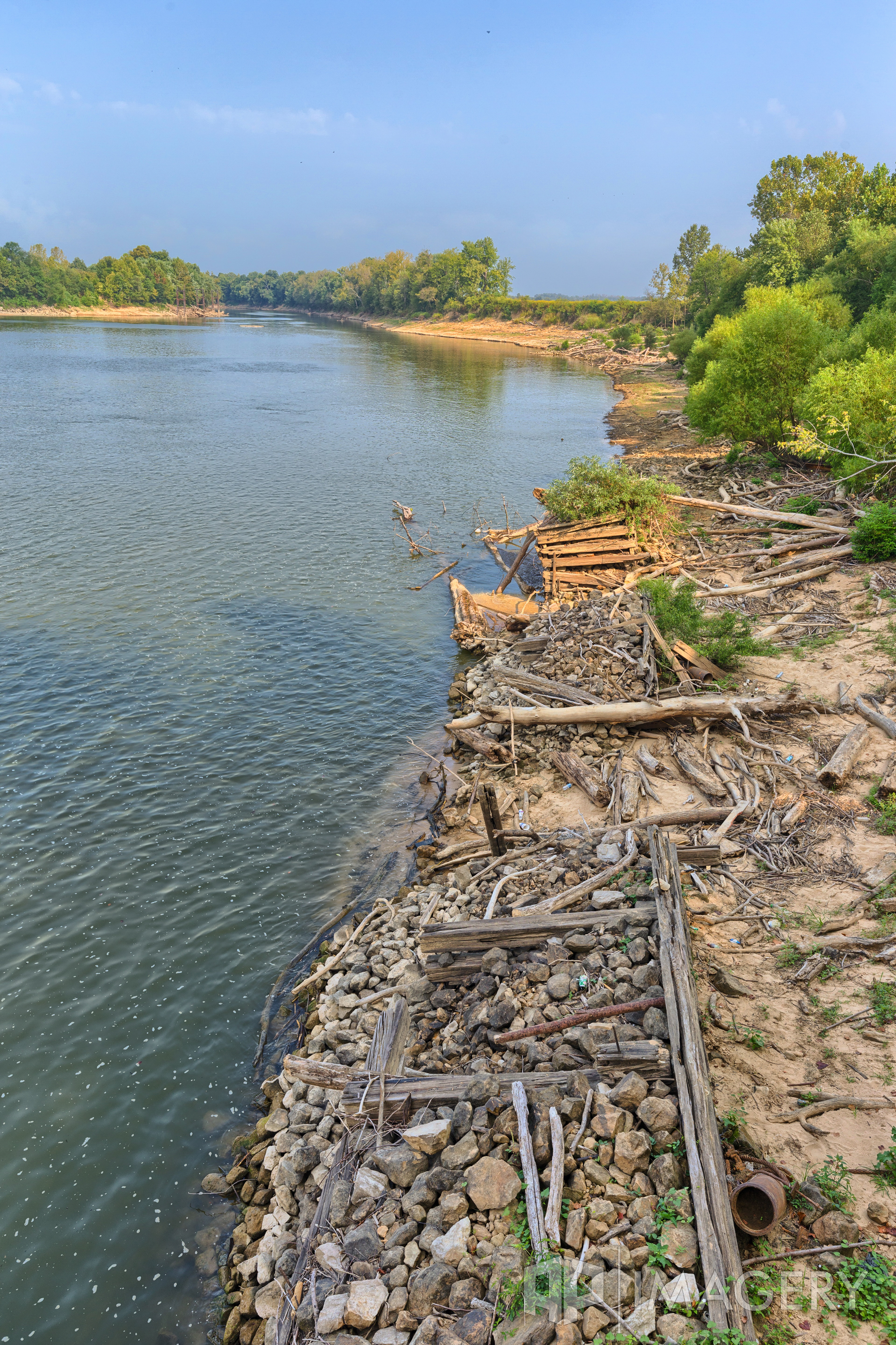
Green River Lock & Dam #3 - Rochester
Topographic Map of Old Nonnel Ln, Drakesboro, KY, USA
Find elevation by address:

Places near Old Nonnel Ln, Drakesboro, KY, USA:
Drakesboro
331 Kameron St
Browder
US-, Browder, KY, USA
Beech Creek
Beech Creek Rd, Beech Creek, KY, USA
1820 Ky-70
Belton
KY-, Drakesboro, KY, USA
Everly Brothers Blvd, Powderly, KY, USA
129 Pendley St
Powderly
W Main St, Powderly, KY, USA
Muhlenberg County
260 Myers Chapel Rd
318 Fox Dr
Greenville
Rochester
271 Arndell Rd
Recent Searches:
- Elevation of 62 Abbey St, Marshfield, MA, USA
- Elevation of Fernwood, Bradenton, FL, USA
- Elevation of Felindre, Swansea SA5 7LU, UK
- Elevation of Leyte Industrial Development Estate, Isabel, Leyte, Philippines
- Elevation of W Granada St, Tampa, FL, USA
- Elevation of Pykes Down, Ivybridge PL21 0BY, UK
- Elevation of Jalan Senandin, Lutong, Miri, Sarawak, Malaysia
- Elevation of Bilohirs'k
- Elevation of 30 Oak Lawn Dr, Barkhamsted, CT, USA
- Elevation of Luther Road, Luther Rd, Auburn, CA, USA