Elevation of Bridges Rd, Ona, FL, USA
Location: United States > Florida > Hardee County > Ona >
Longitude: -81.886774
Latitude: 27.409485
Elevation: 16m / 52feet
Barometric Pressure: 101KPa
Elevation Map:
Satellite Map:
Related Photos:

Deserted Barn in the ghost town of Castalia, Florida - 3300+ views
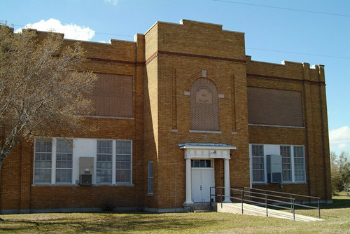
1922 Brownville, Florida School

_D2_7154.jpg

Enchanted Forest
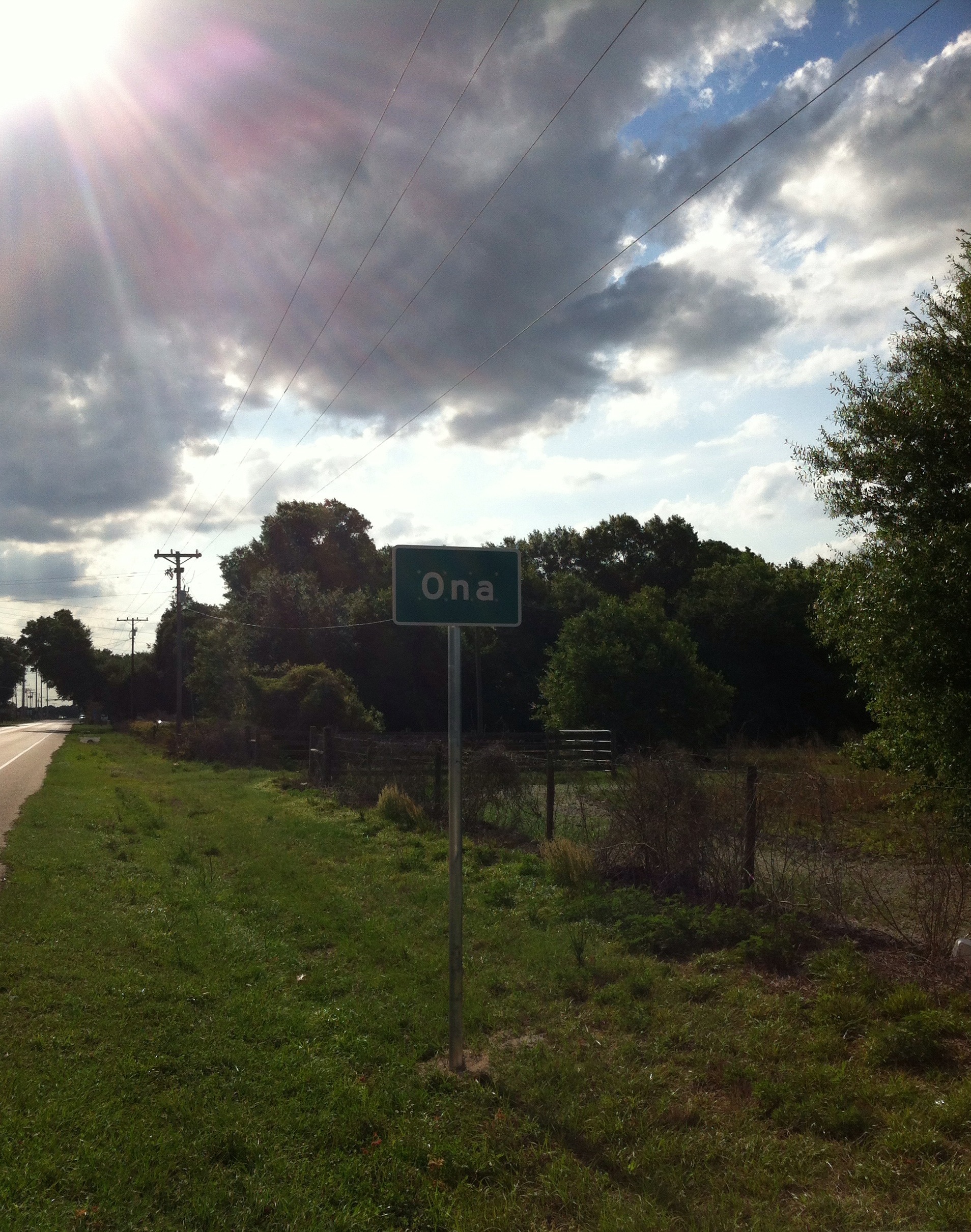
Ona Florida

Barn Window

Barn Window

Florida Orange Grove (DeSoto County, Florida)

Florida Orange Grove (DeSoto County, Florida)

Country Oak
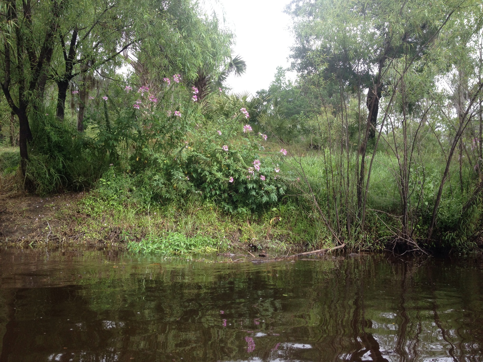
Canoe Trip Mar 2014
Topographic Map of Bridges Rd, Ona, FL, USA
Find elevation by address:

Places near Bridges Rd, Ona, FL, USA:
Peace River
Mosley Rd, Ona, FL, USA
2788 Earnest St
Earnest Street
Earnest Street
9697 Ne Bahia Ct
Chinook Rd, Zolfo Springs, FL, USA
8355 Bowen Rd
8500 Rose Ln
US-17, Arcadia, FL, USA
3010 Nw Girl Scout Rd
6577 Ne Masters Ave
8527 Carlson Ln
5596 Nw Oak Hill Ave
5556 St Co Rd 661a
6385 Co Rd 660
1419 Ne Shiblon Dr
5045 Hidden Lake Cir
1016 Fish Branch Rd
1439 Nw Farrens Dr
Recent Searches:
- Elevation of Spaceport America, Co Rd A, Truth or Consequences, NM, USA
- Elevation of Warwick, RI, USA
- Elevation of Fern Rd, Whitmore, CA, USA
- Elevation of 62 Abbey St, Marshfield, MA, USA
- Elevation of Fernwood, Bradenton, FL, USA
- Elevation of Felindre, Swansea SA5 7LU, UK
- Elevation of Leyte Industrial Development Estate, Isabel, Leyte, Philippines
- Elevation of W Granada St, Tampa, FL, USA
- Elevation of Pykes Down, Ivybridge PL21 0BY, UK
- Elevation of Jalan Senandin, Lutong, Miri, Sarawak, Malaysia