Elevation of US-17, Arcadia, FL, USA
Location: United States > Florida > Desoto County > Arcadia >
Longitude: -81.824124
Latitude: 27.298834
Elevation: 23m / 75feet
Barometric Pressure: 101KPa
Elevation Map:
Satellite Map:
Related Photos:
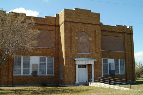
1922 Brownville, Florida School

Cowboy Bart
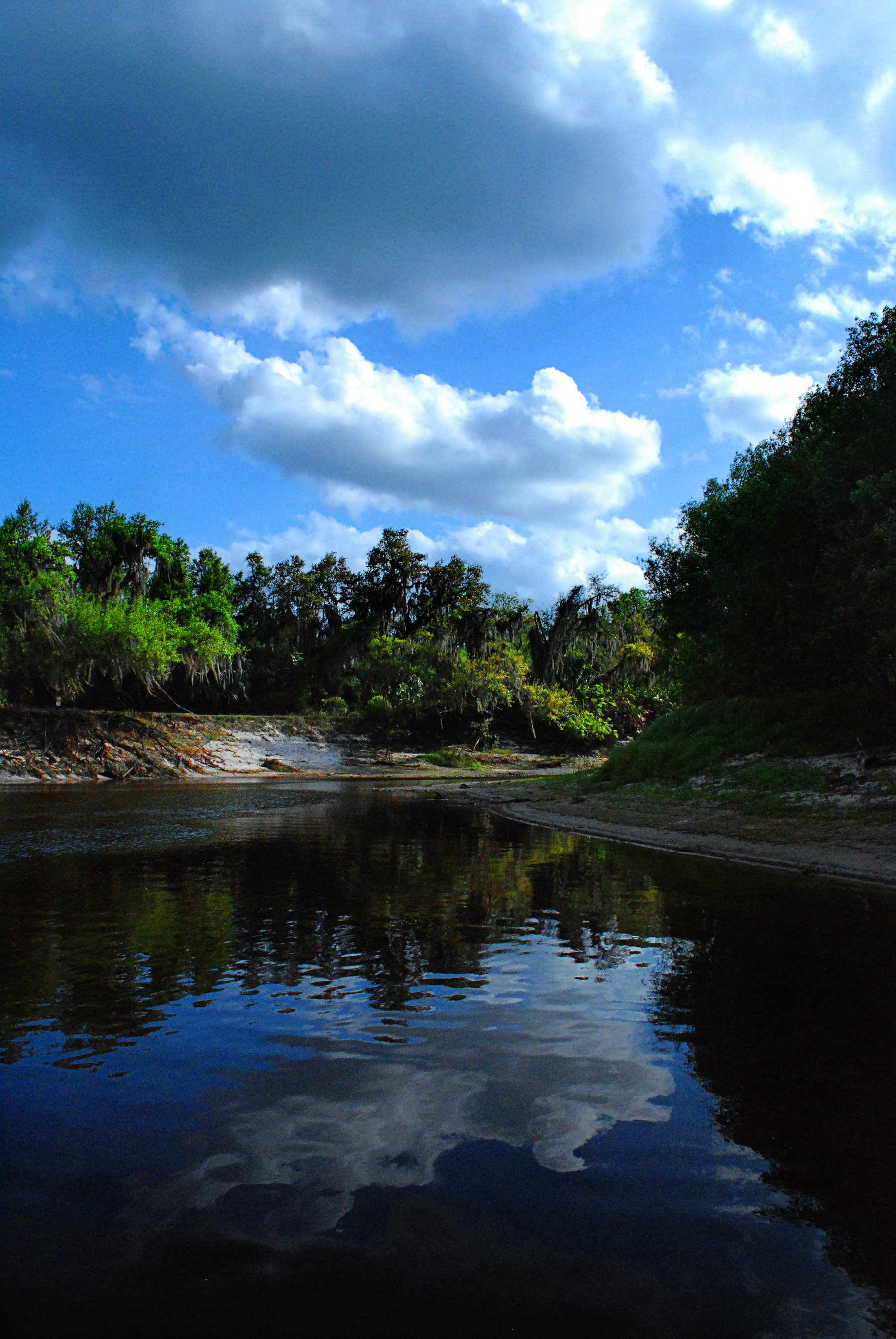
Peace River in March

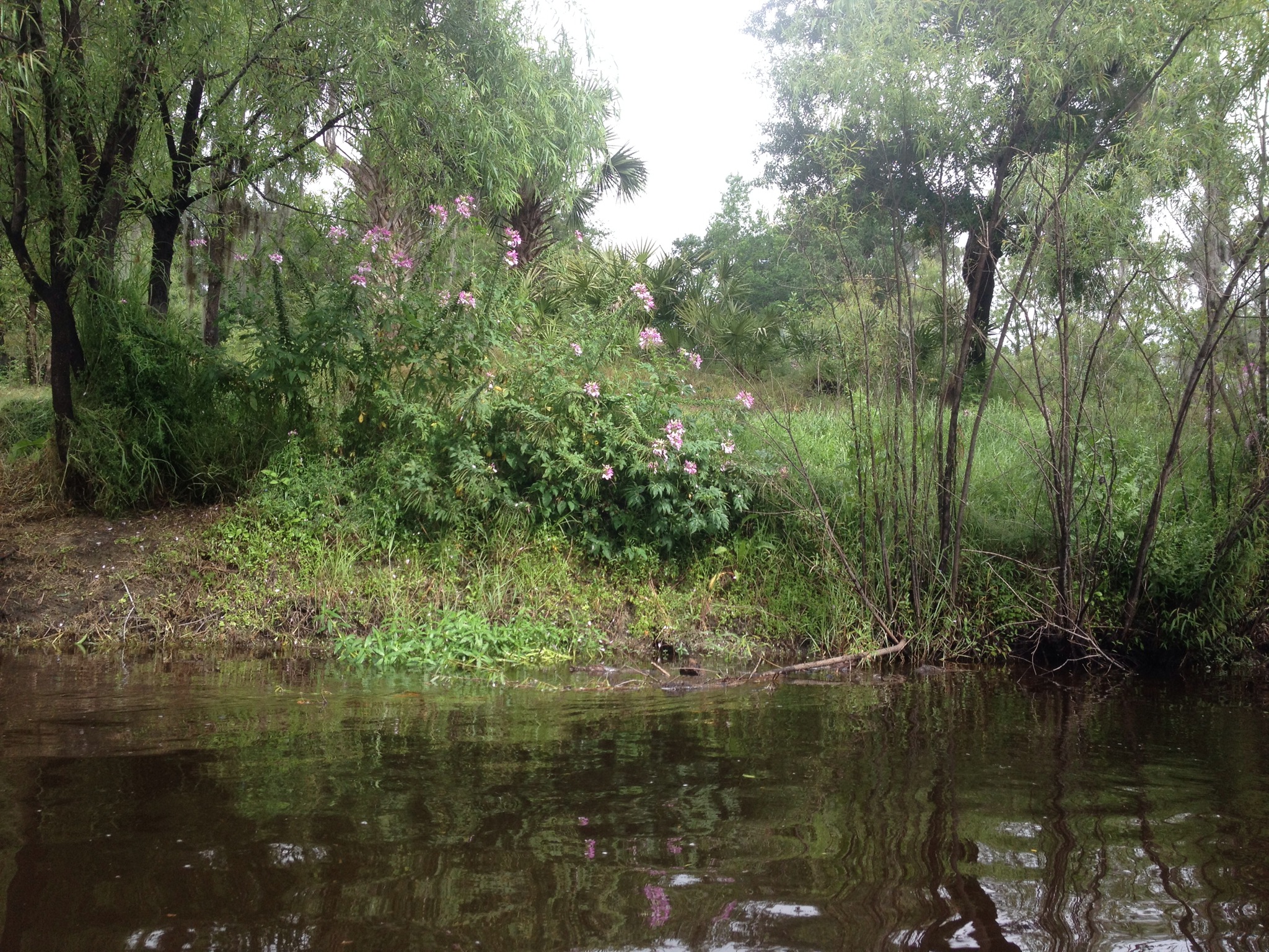
Enchanted Forest

Florida Orange Grove (DeSoto County, Florida)

Florida Orange Grove (DeSoto County, Florida)
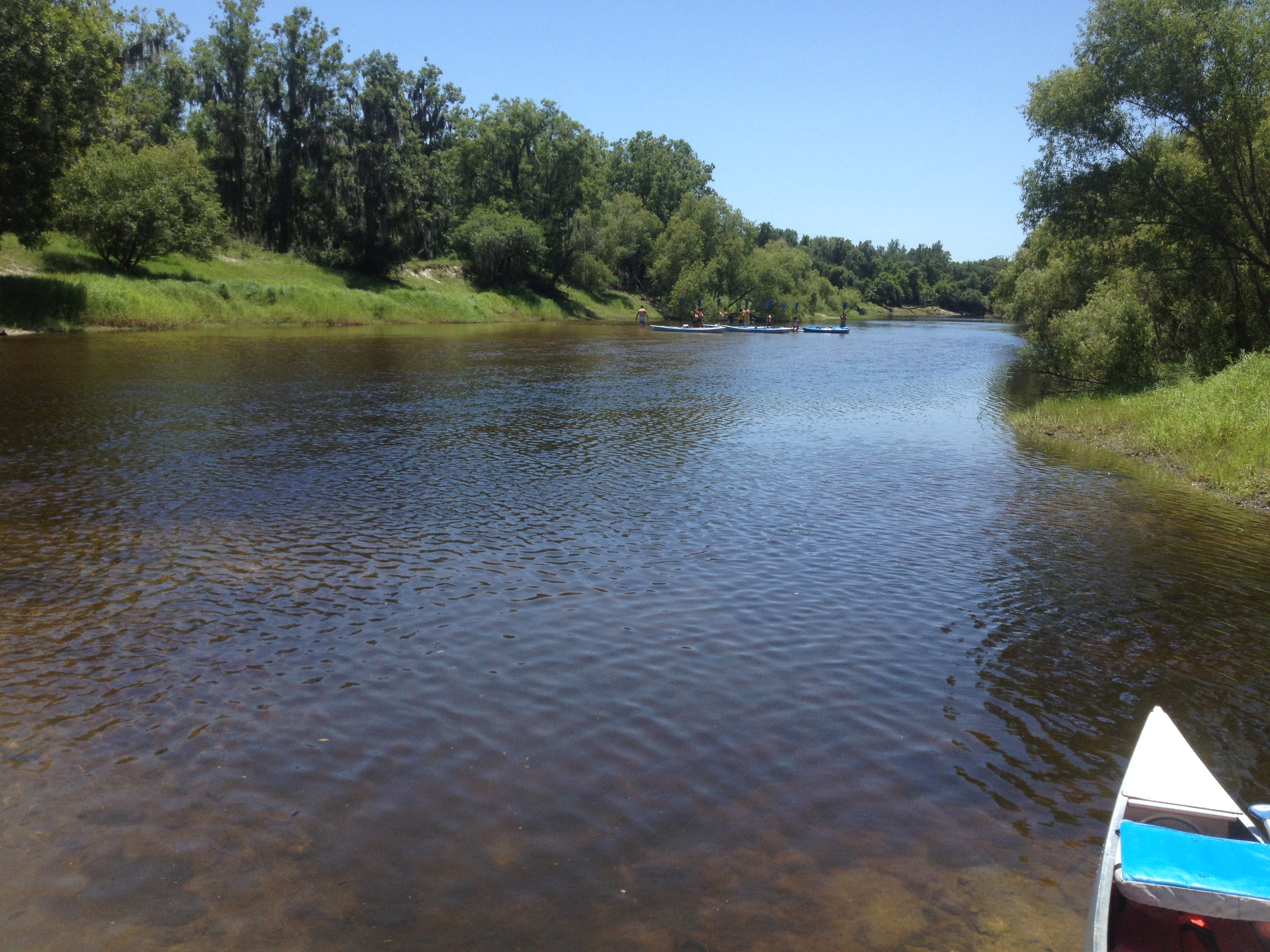
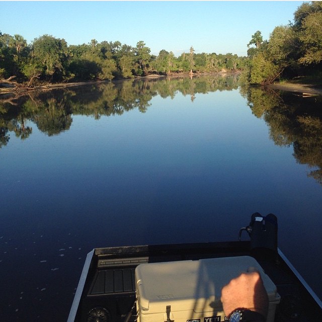
Canoe Trip Mar 2014
peace river 2
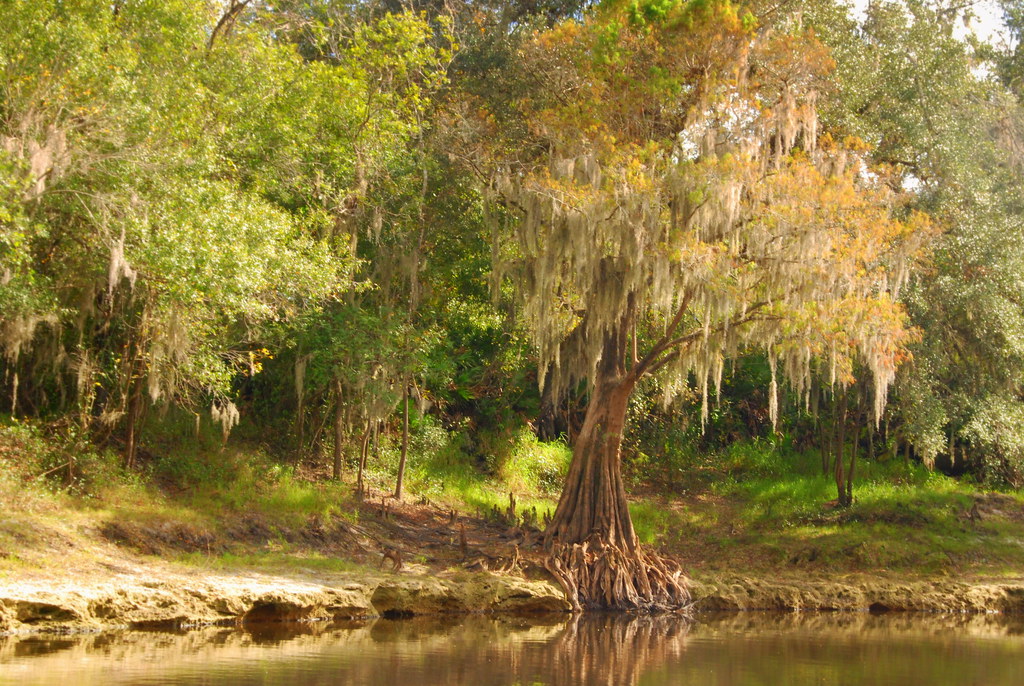
Peace River Landscape, Florida
#photo #tagged to us by and go #follow this #girlofthemarsh @kayla_whittt the #peaceriver #desotocounty #nocatee #fl #arcadia to go #airboatin #airboating to #ride2slide #ridetoslide already #addicted to this #airboatlife #lakelife #riverlife with Teams #

Bobolinks (Dolichonyx oryzivorus)
Topographic Map of US-17, Arcadia, FL, USA
Find elevation by address:

Places near US-17, Arcadia, FL, USA:
6385 Co Rd 660
6577 Ne Masters Ave
3741 Northeast Forrest Wood Drive
Earnest Street
Earnest Street
2788 Earnest St
9697 Ne Bahia Ct
4905 Co Rd 660
4201 Co Rd 660
NE Cubitis Ave, Arcadia, FL, USA
1419 Ne Shiblon Dr
2577 Washington St
5045 Hidden Lake Cir
3010 Nw Girl Scout Rd
Chinook Rd, Zolfo Springs, FL, USA
1439 Nw Farrens Dr
5596 Nw Oak Hill Ave
Northwest Goathill Street
8355 Bowen Rd
8500 Rose Ln
Recent Searches:
- Elevation of Tenjo, Cundinamarca, Colombia
- Elevation of Côte-des-Neiges, Montreal, QC H4A 3J6, Canada
- Elevation of Bobcat Dr, Helena, MT, USA
- Elevation of Zu den Ihlowbergen, Althüttendorf, Germany
- Elevation of Badaber, Peshawar, Khyber Pakhtunkhwa, Pakistan
- Elevation of SE Heron Loop, Lincoln City, OR, USA
- Elevation of Slanický ostrov, 01 Námestovo, Slovakia
- Elevation of Spaceport America, Co Rd A, Truth or Consequences, NM, USA
- Elevation of Warwick, RI, USA
- Elevation of Fern Rd, Whitmore, CA, USA