Elevation of Brewer Rd, Ilion, NY, USA
Location: United States > New York > Herkimer County > Columbia >
Longitude: -75.052615
Latitude: 42.963609
Elevation: 404m / 1325feet
Barometric Pressure: 97KPa
Elevation Map:
Satellite Map:
Related Photos:

An Evening Show
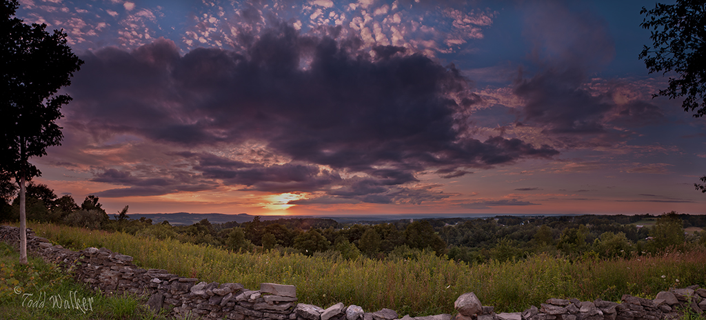
Valley Panoramic

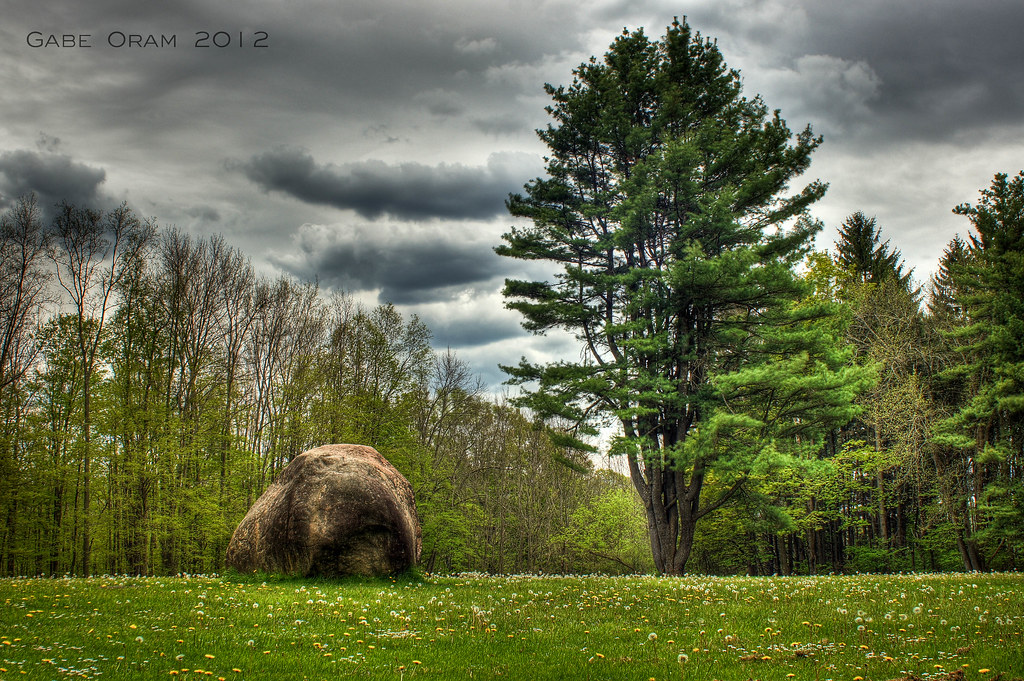
greenbelt 019
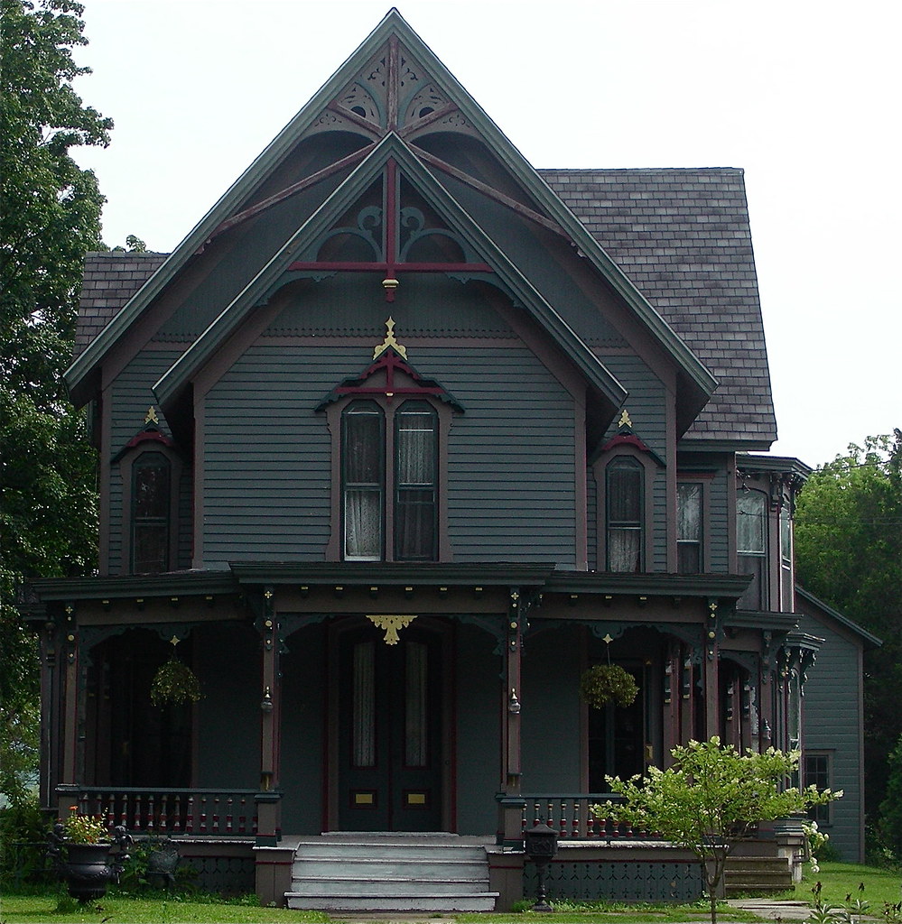
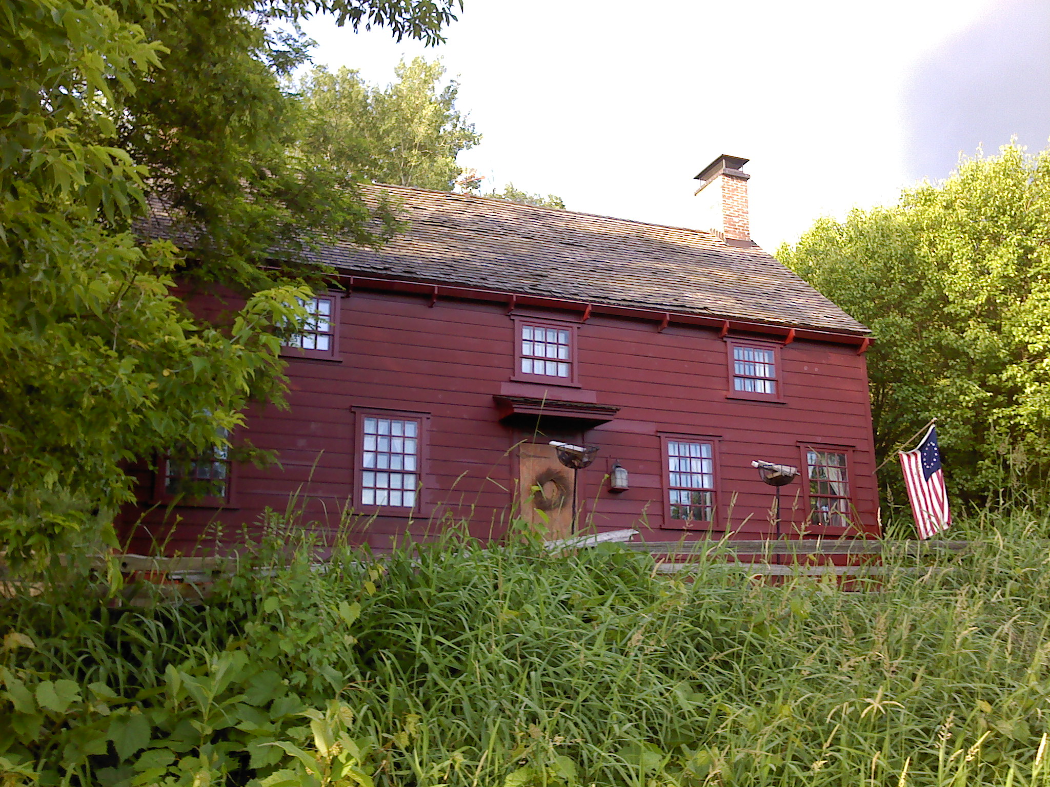
Queen Anne Victorian

Pleasant View Farm

Back view
Lampy inspired me for this one.

Sunset Hill, 1923, by architect Dwight James Baum

Erie Canal gates

Side view. I took a look and saw a fairy so i will give her fairy ears.

Side view. Pointy nose big cheeks and mouth.
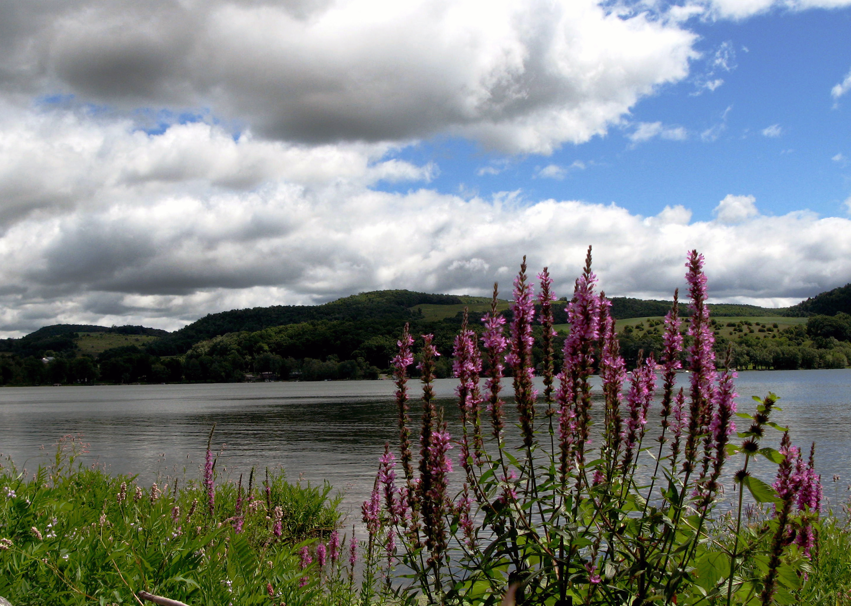
Lake Canadarago
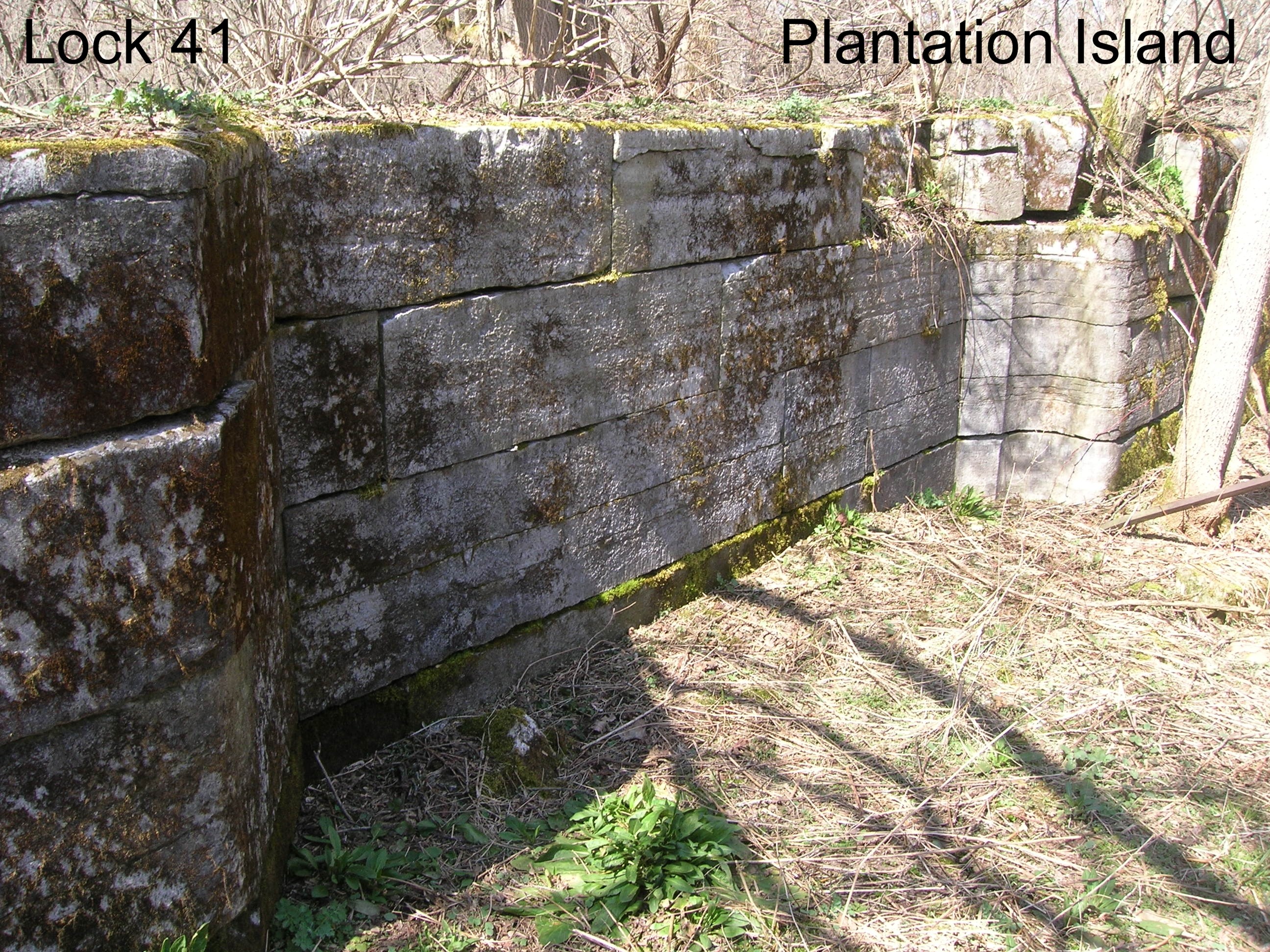
Lock 41 - Plantation Island
Wohleben House
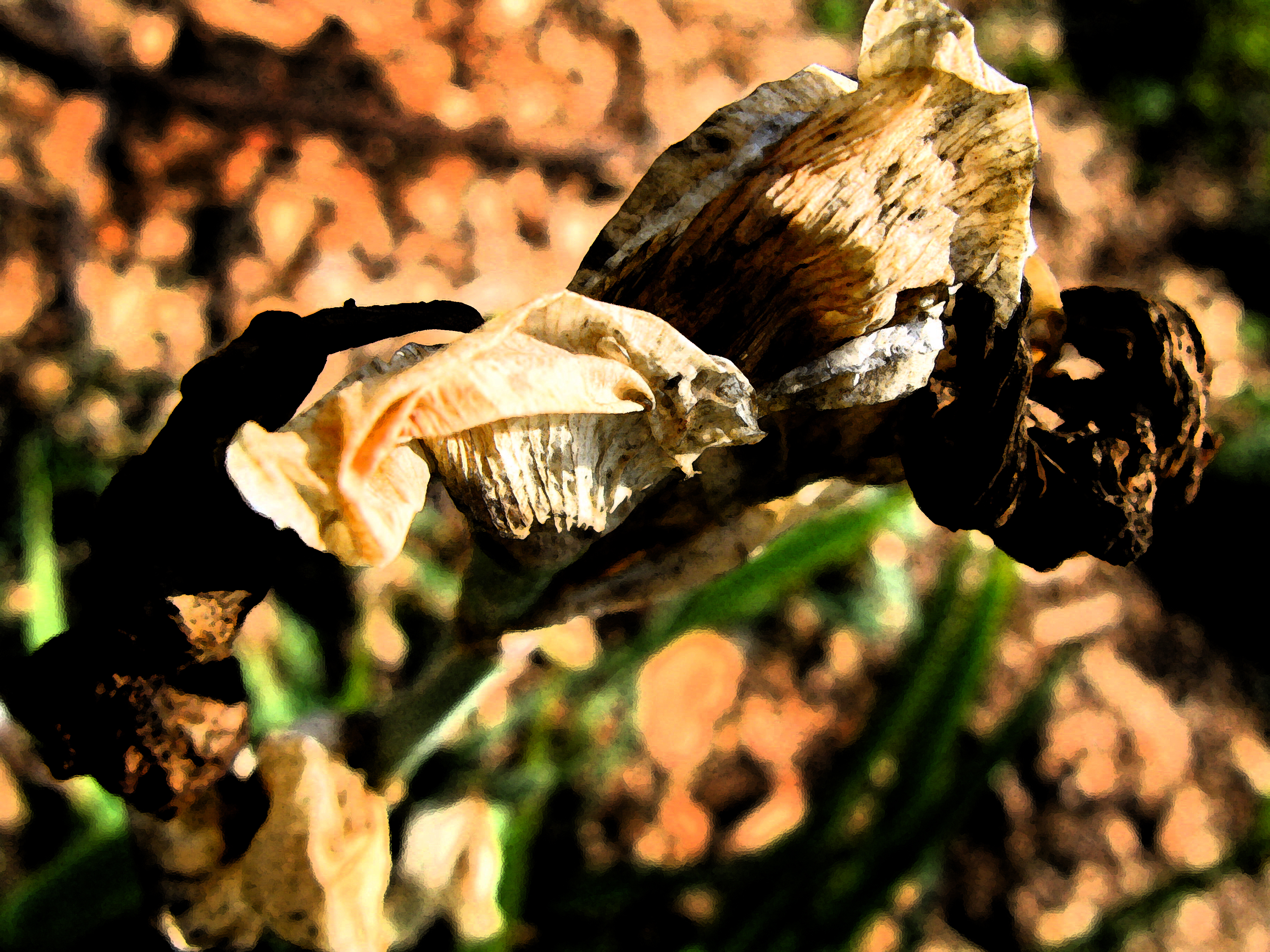
Dead Lily

Ward's View, Herkimer Co., NY

Ward's View, Herkimer Co., NY

Ward's View, Herkimer Co., NY
greenbelt 021
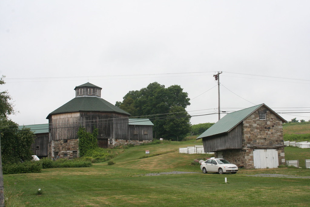
Baker Octagon Barn (added 1984 - - #84002887)

Ward's View, Herkimer Co., NY

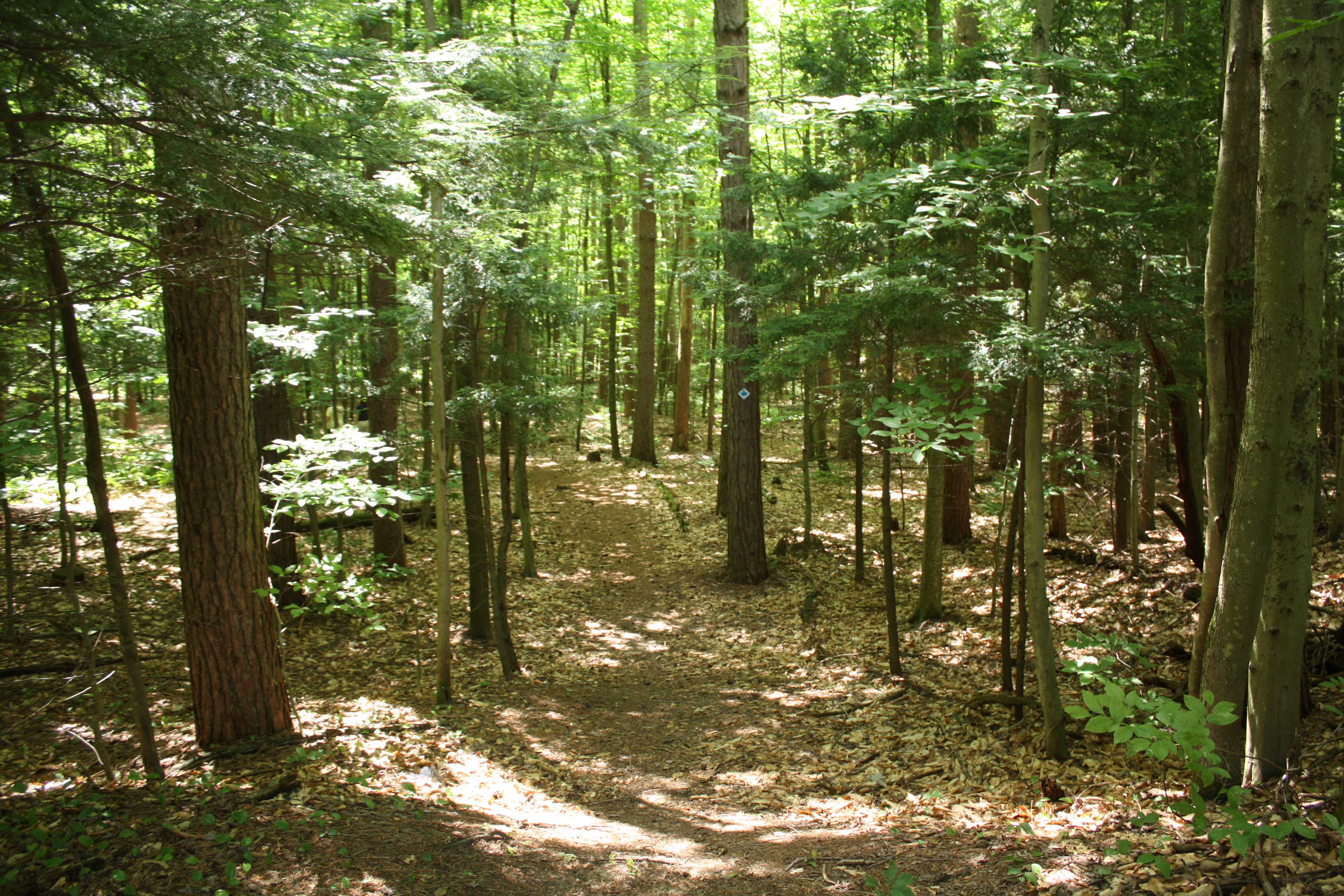
The Gorge
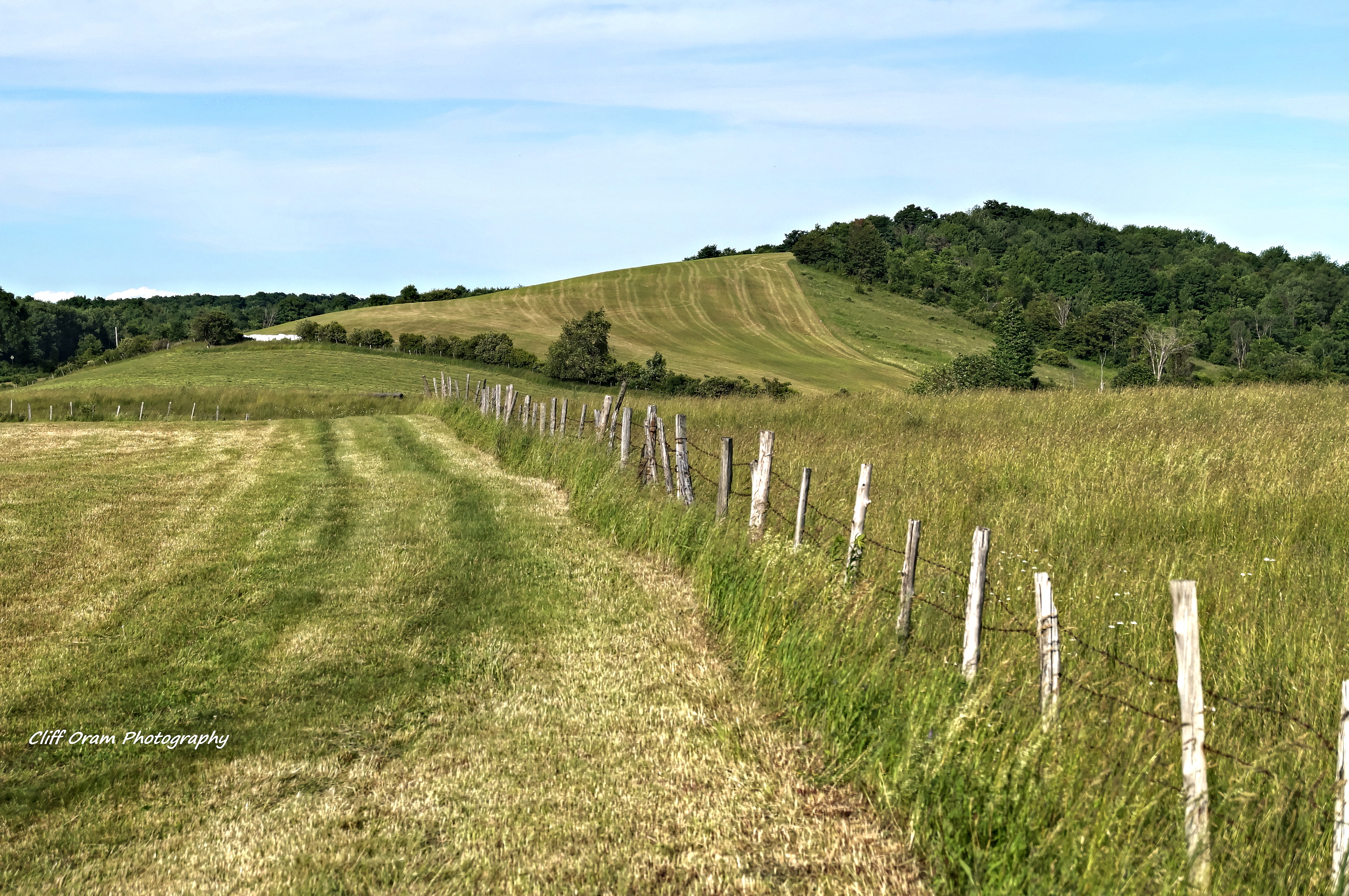
On The Other Side Of The Fence
looks like rain. . . .
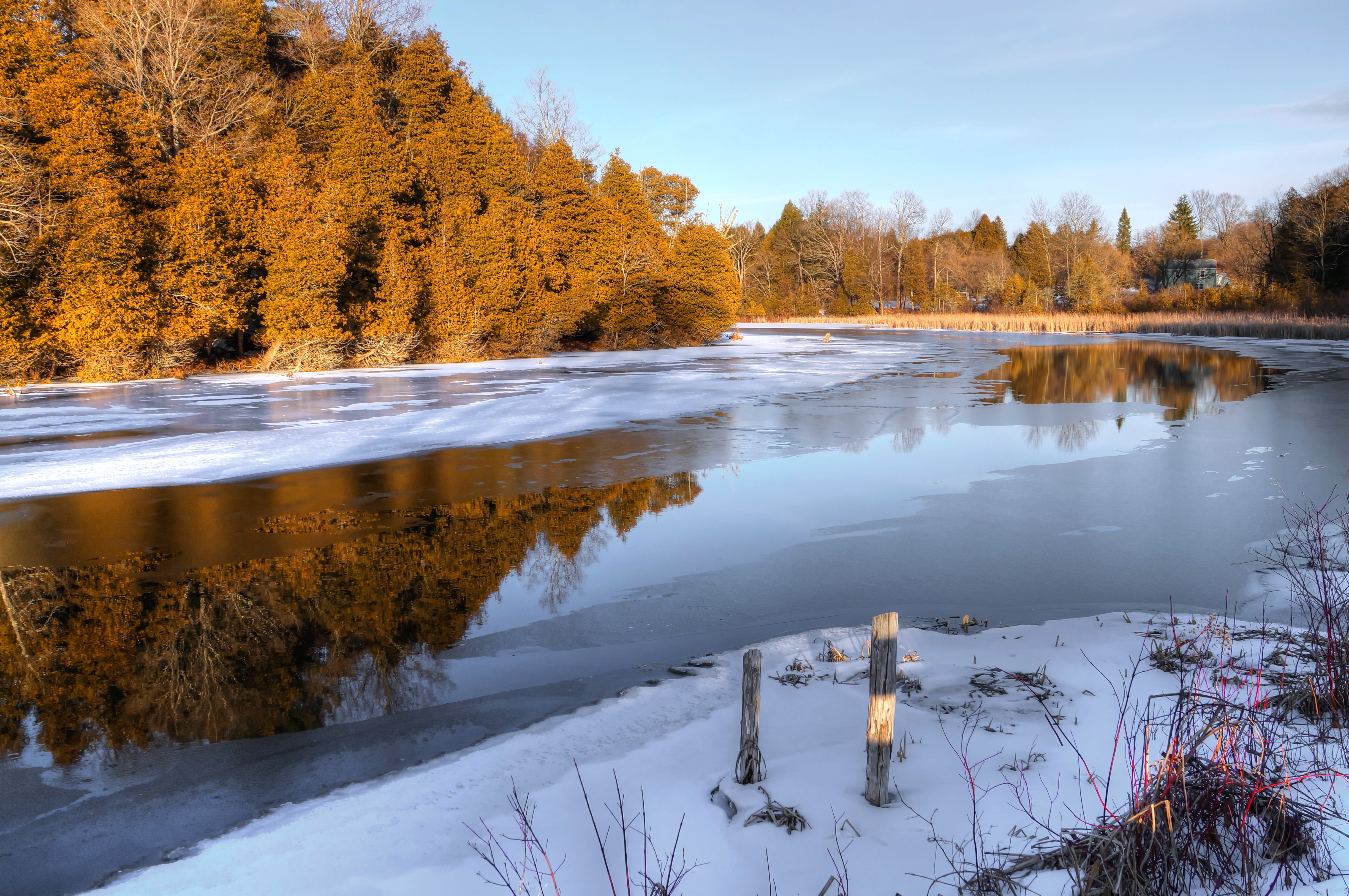
After The Thaw
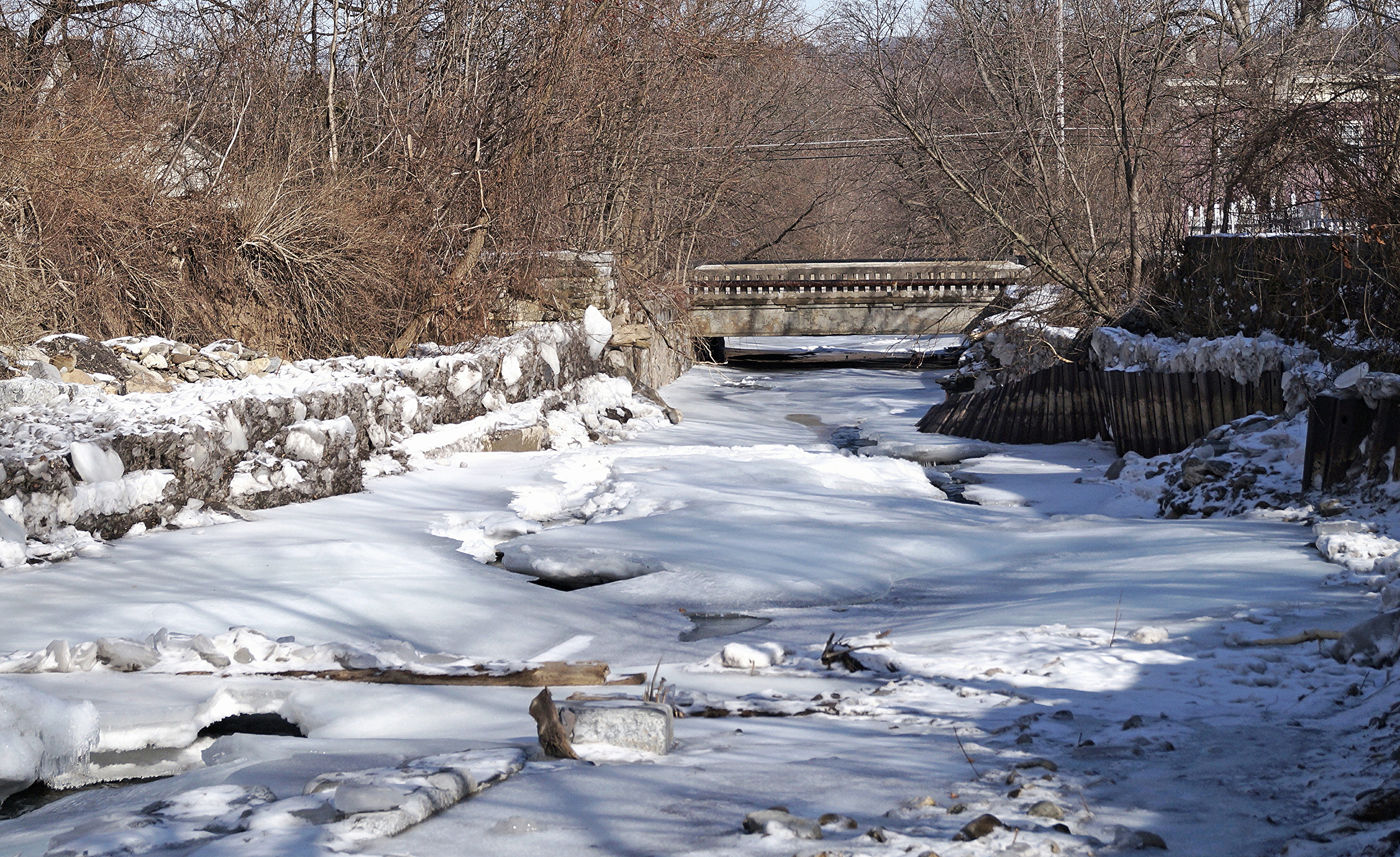
Frozen Moyer Creek
Chepatchet Pond
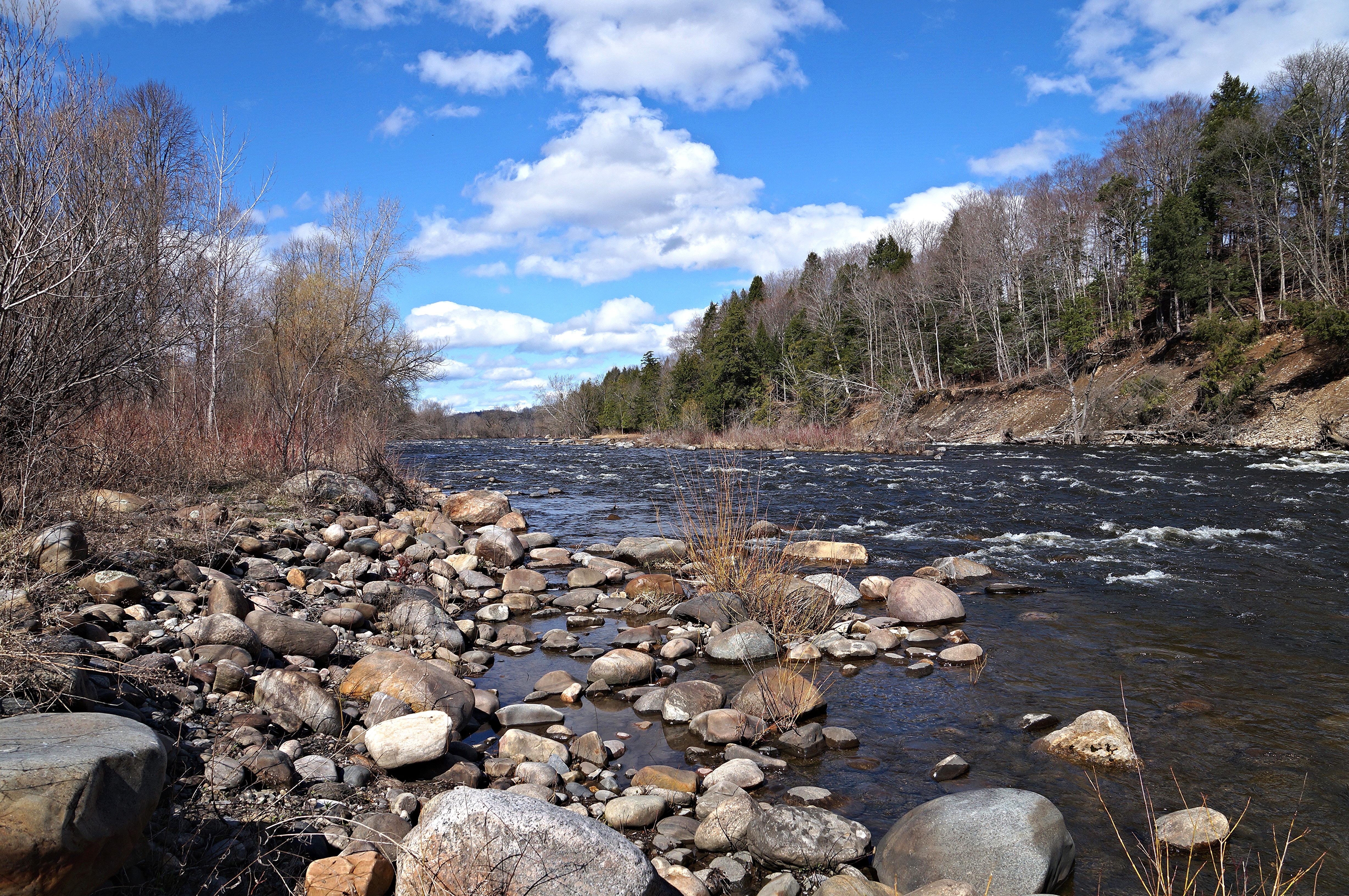
West Canada Creek
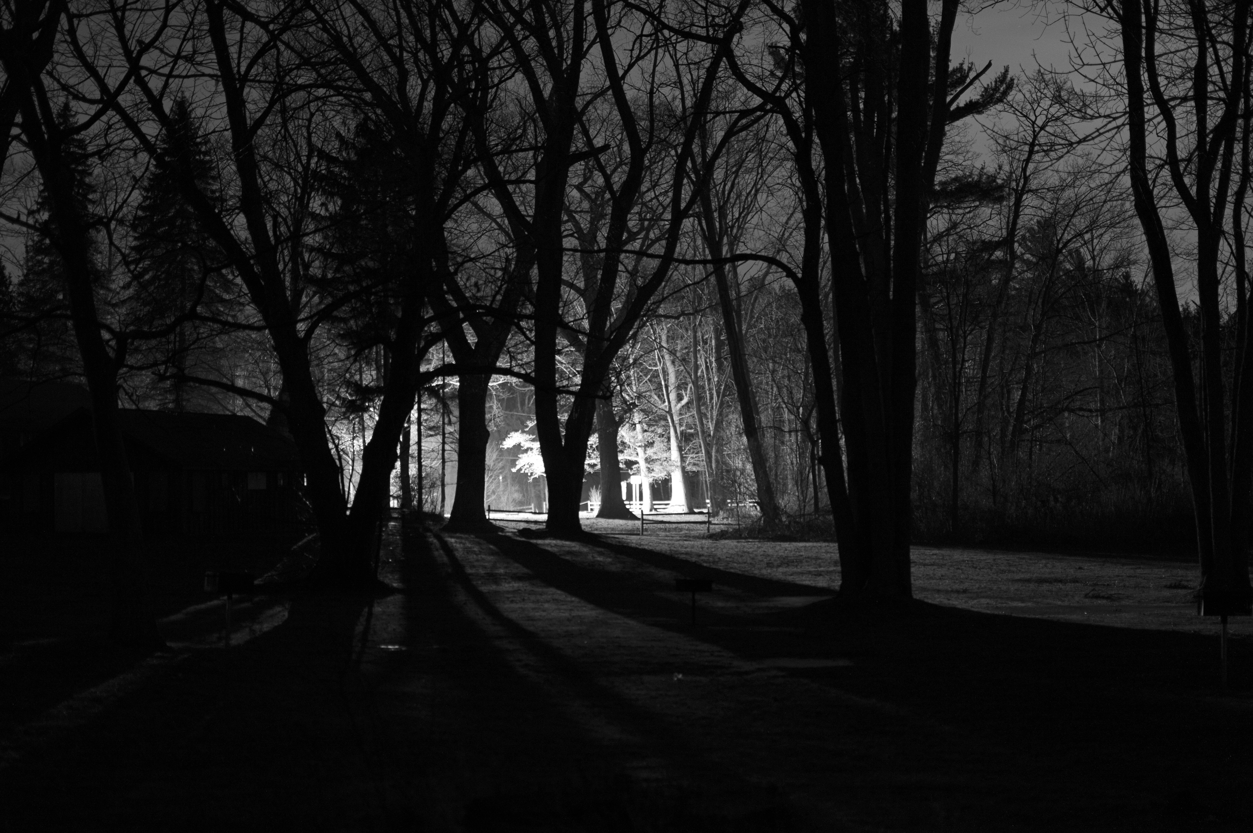
Lighting The Landscape
I want to believe
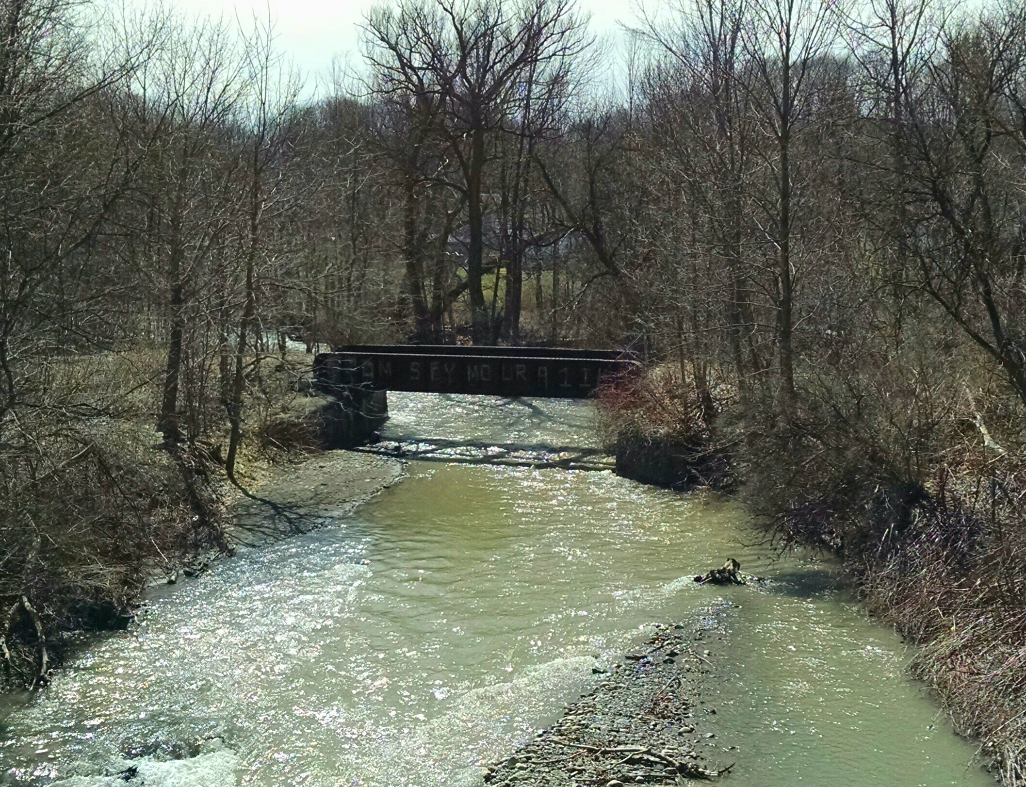
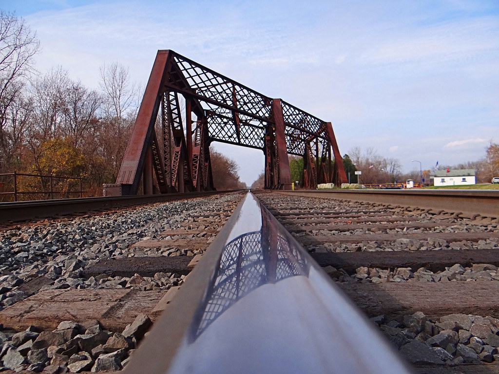
West Shore Railroad Bridge, Ilion, NY
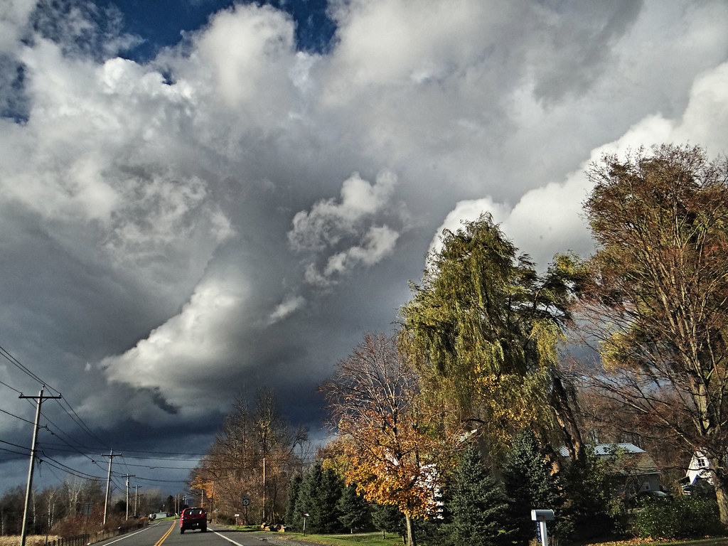
Rough weather coming.
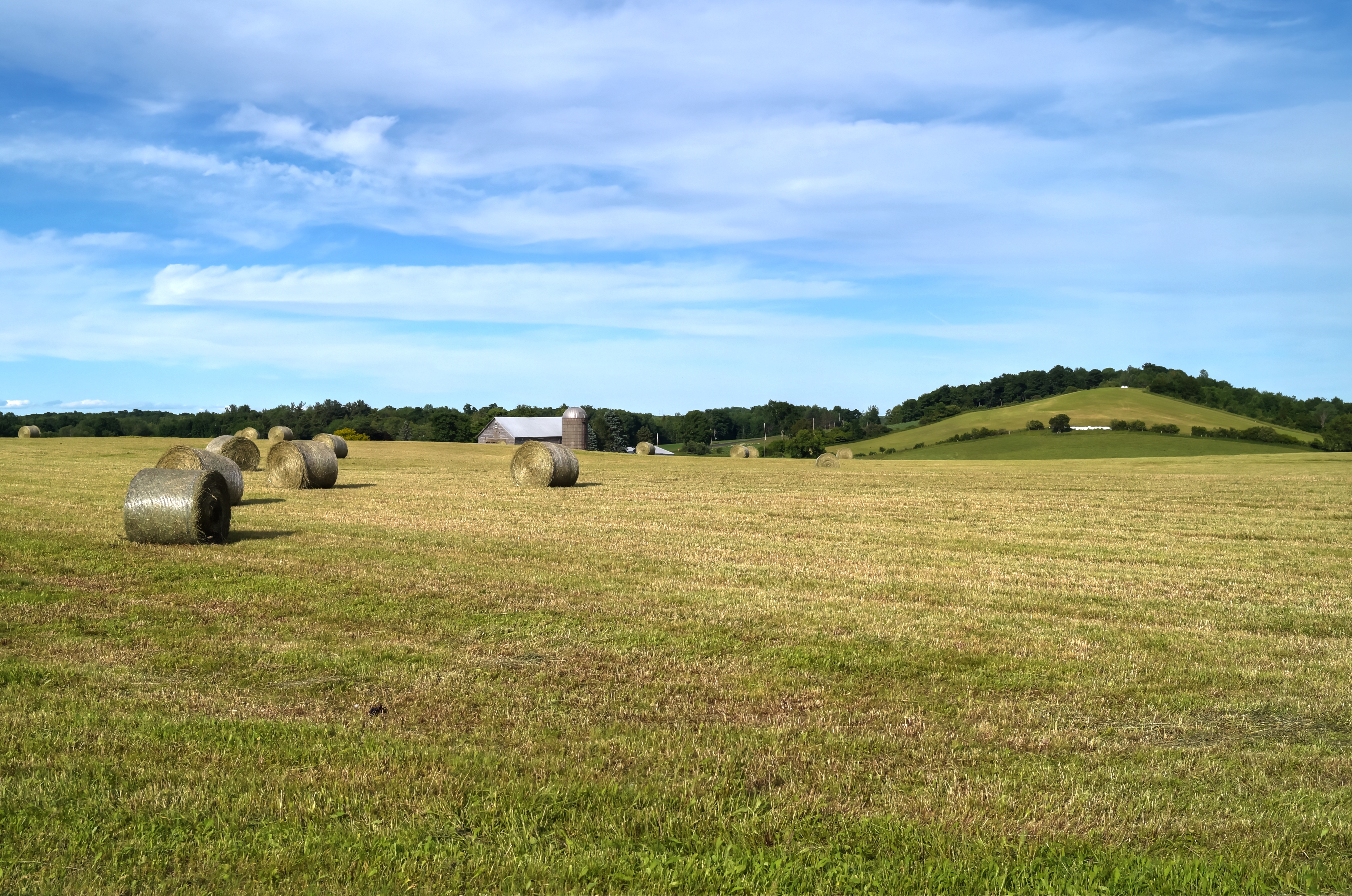
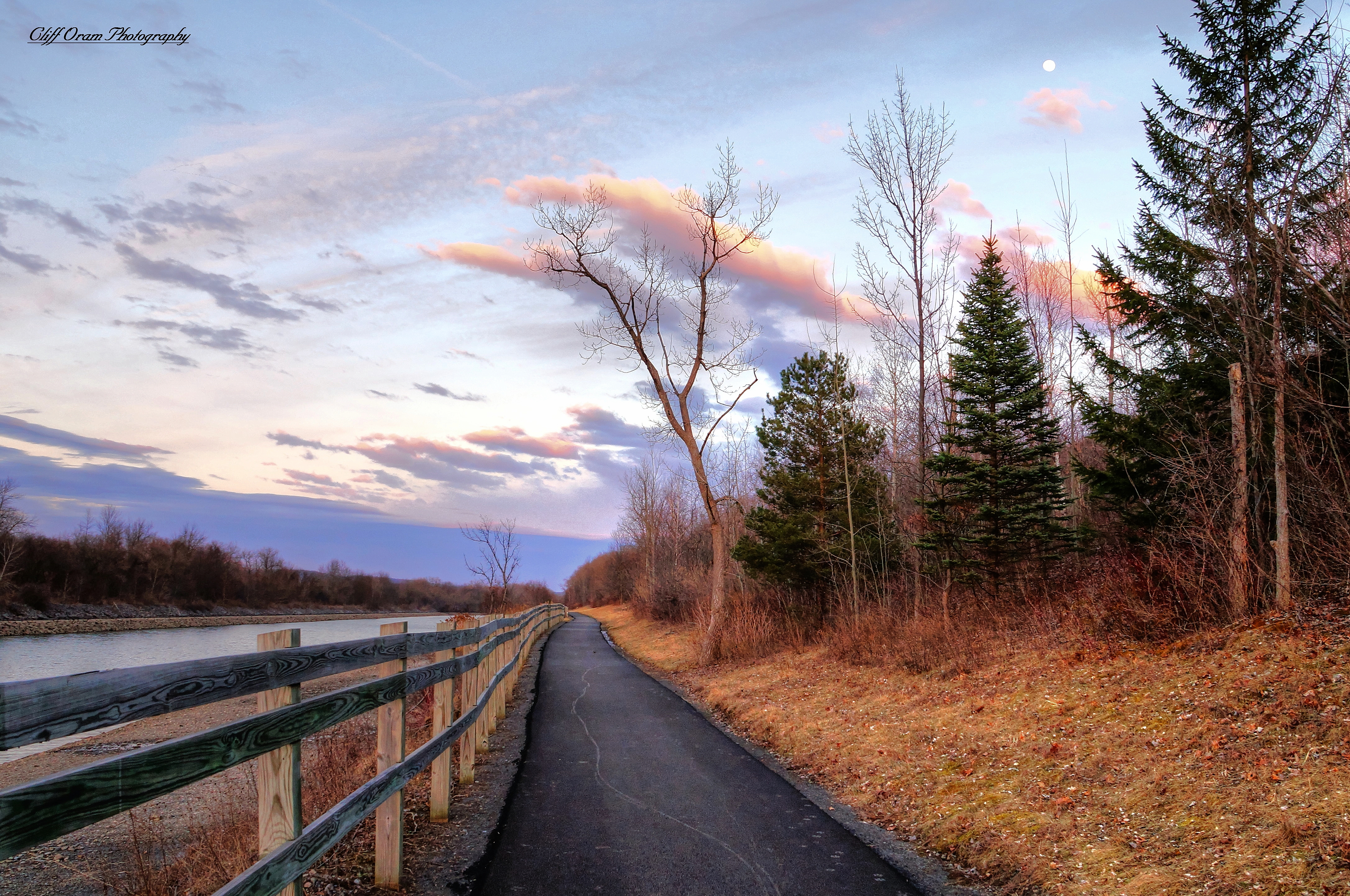
Out In The Country

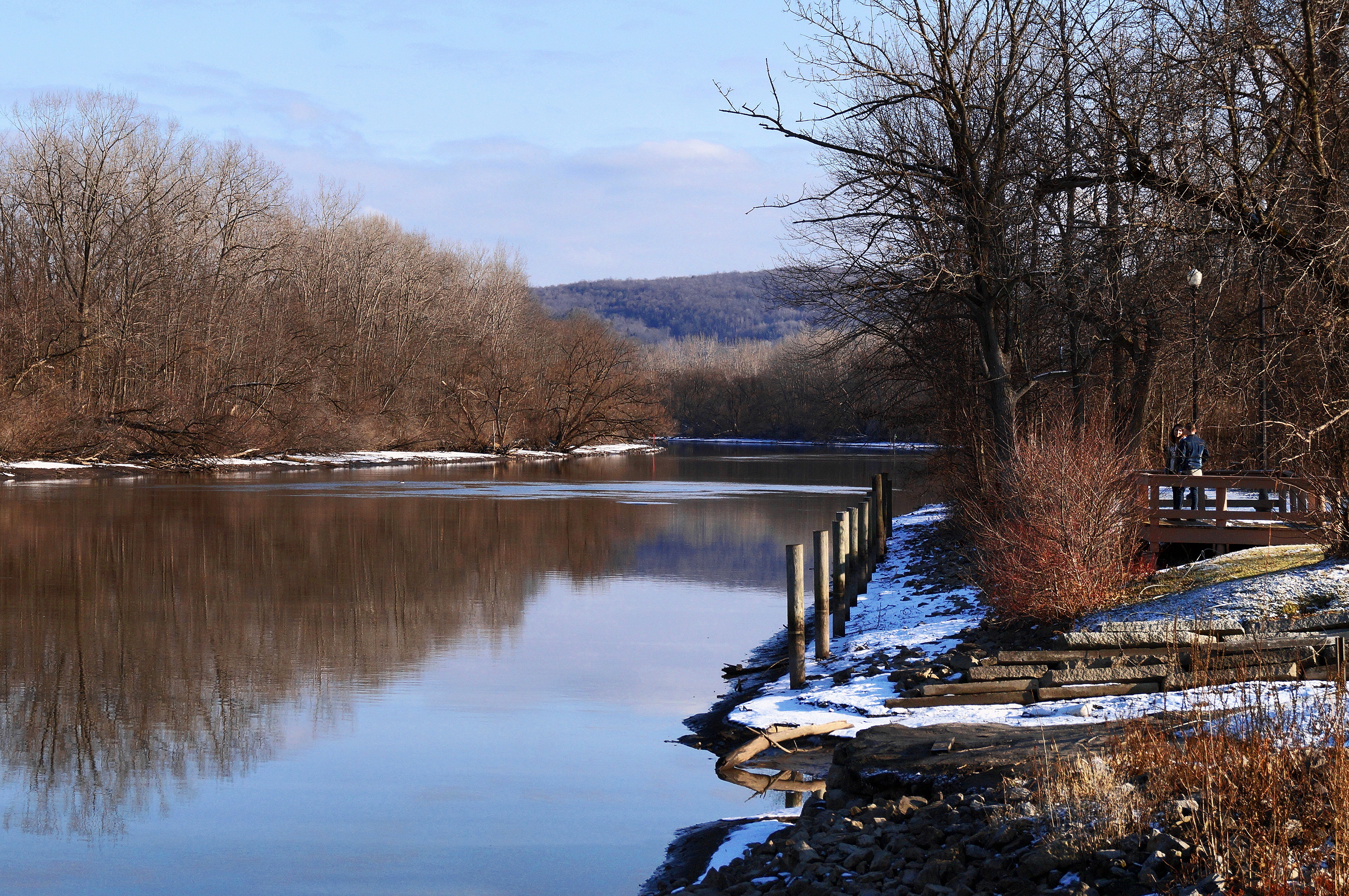
A Peaceful River

Gilded Birthday FDT
short and tall

Bright Light

Q114 at Little Falls, NY

Inside Lock 18
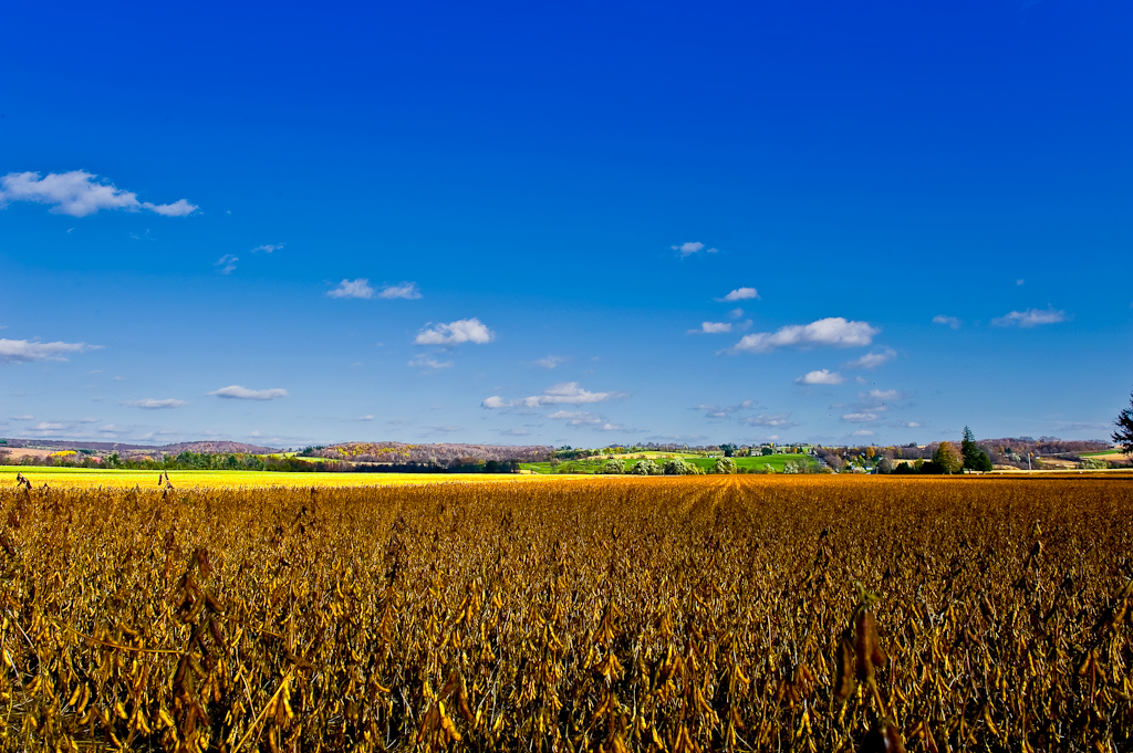
Field & Sky #1
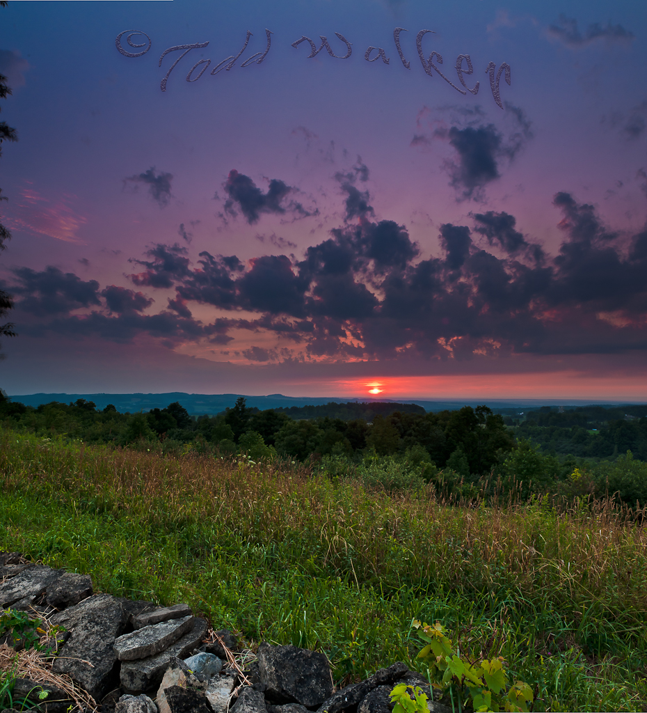
Sauquoit Valley Sunset

20150528-IMG_5140
Topographic Map of Brewer Rd, Ilion, NY, USA
Find elevation by address:

Places near Brewer Rd, Ilion, NY, USA:
Brewer Rd, Ilion, NY, USA
Brewer Rd, Ilion, NY, USA
Columbia
Gage Road
Spinnerville Gulf Rd N, Ilion, NY, USA
1517 Barringer Rd
Ilion
Brand Street
362 E Main St
1438 Jones Rd
1438 Jones Rd
Mcgowan Road
Huxtable Rd, West Winfield, NY, USA
Mohawk
German Flatts
260 Hugick Rd
717 Park Lane Drive
717 Park Lane Drive
121 Hugick Rd
455 Mortz Rd
Recent Searches:
- Elevation of Erika Dr, Windsor, CA, USA
- Elevation of Village Ln, Finleyville, PA, USA
- Elevation of 24 Oakland Rd #, Scotland, ON N0E 1R0, Canada
- Elevation of Deep Gap Farm Rd E, Mill Spring, NC, USA
- Elevation of Dog Leg Dr, Minden, NV, USA
- Elevation of Dog Leg Dr, Minden, NV, USA
- Elevation of Kambingan Sa Pansol Atbp., Purok 7 Pansol, Candaba, Pampanga, Philippines
- Elevation of Pinewood Dr, New Bern, NC, USA
- Elevation of Mountain View, CA, USA
- Elevation of Foligno, Province of Perugia, Italy