Elevation of Braniewo County, Poland
Location: Poland > Warmian-masurian Voivodeship >
Longitude: 19.9612973
Latitude: 54.3159867
Elevation: 62m / 203feet
Barometric Pressure: 101KPa
Elevation Map:
Satellite Map:
Related Photos:

Góra Bunkrowa k. Fromborka.

Herbstlandschaft - Polen

SM42-084

SU46-035 (20.08.2019)

Pieniężnieńska klasyka

ST43-R004

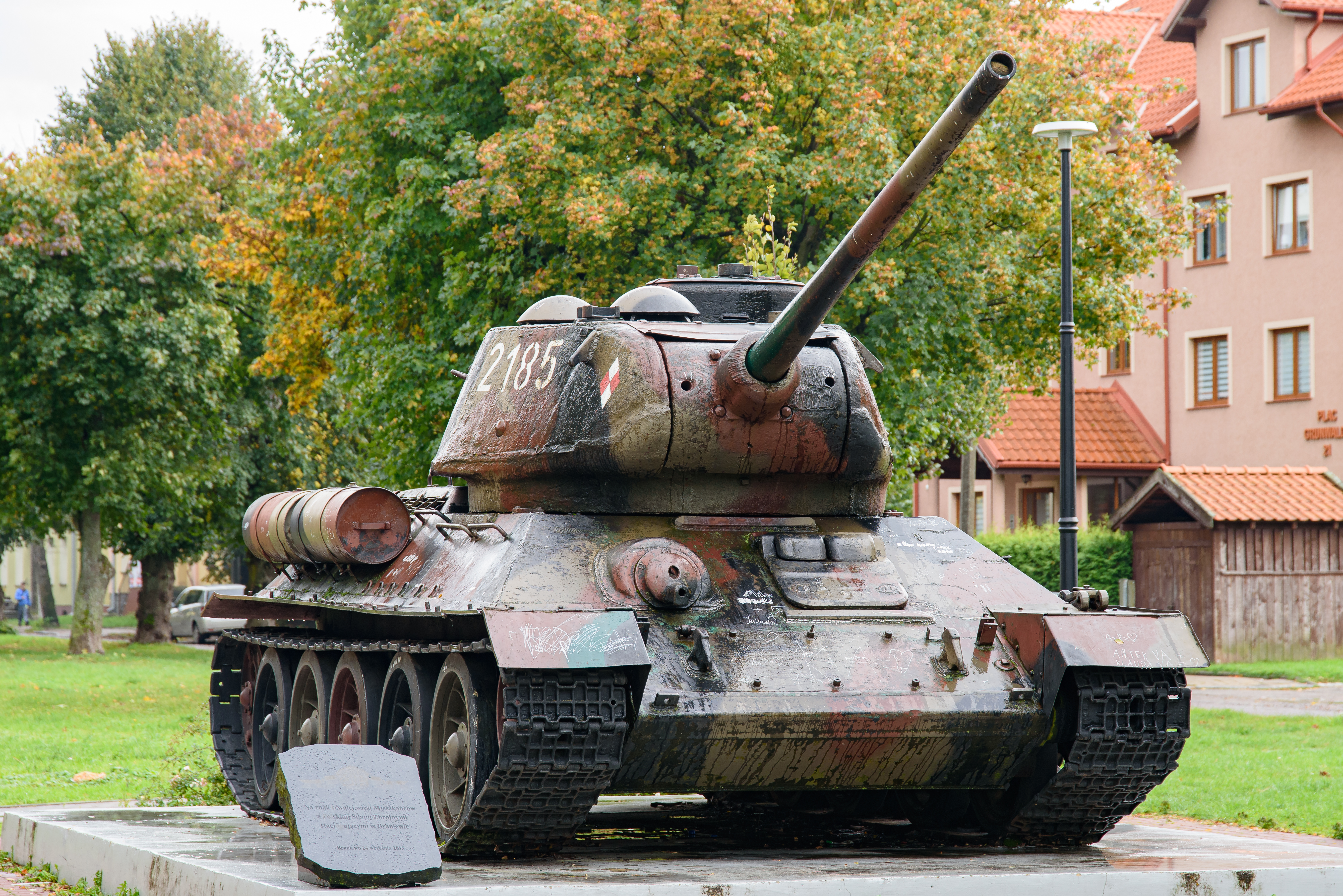
T-34/85

T-34/85

T-34/85
T-34/85

T-34/85

T-34/85

T-34/85

Braniewo, Poland

Braniewo, Poland

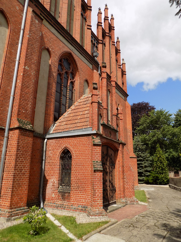
Pieniężno, Poland

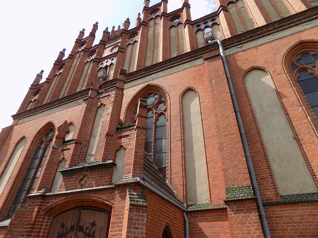
Pieniężno, Poland

Pieniężno, Poland

Pieniężno, Poland

Pieniężno, Poland
Pieniężno, Poland
Pieniężno, Poland

Pieniężno, Poland
Topographic Map of Braniewo County, Poland
Find elevation by address:

Places in Braniewo County, Poland:
Places near Braniewo County, Poland:
Rusy
Gorod Kaliningrad
Kaliningrad
Kaliningrad Stadium
Moskovskiy Rayon
Olsztyn County
Olsztyn
Żołnierska 18
Warmian-masurian Voivodeship
Masurian Lake District
Olsztyński
Gmina Purda
Bałdy
Recent Searches:
- Elevation of 24 Oakland Rd #, Scotland, ON N0E 1R0, Canada
- Elevation of Deep Gap Farm Rd E, Mill Spring, NC, USA
- Elevation of Dog Leg Dr, Minden, NV, USA
- Elevation of Dog Leg Dr, Minden, NV, USA
- Elevation of Kambingan Sa Pansol Atbp., Purok 7 Pansol, Candaba, Pampanga, Philippines
- Elevation of Pinewood Dr, New Bern, NC, USA
- Elevation of Mountain View, CA, USA
- Elevation of Foligno, Province of Perugia, Italy
- Elevation of Blauwestad, Netherlands
- Elevation of Bella Terra Blvd, Estero, FL, USA