Elevation of Bouligny, France
Location: France > Alsace-champagne-ardenne-lorraine > Meuse >
Longitude: 5.741186
Latitude: 49.293396
Elevation: 266m / 873feet
Barometric Pressure: 98KPa
Elevation Map:
Satellite Map:
Related Photos:
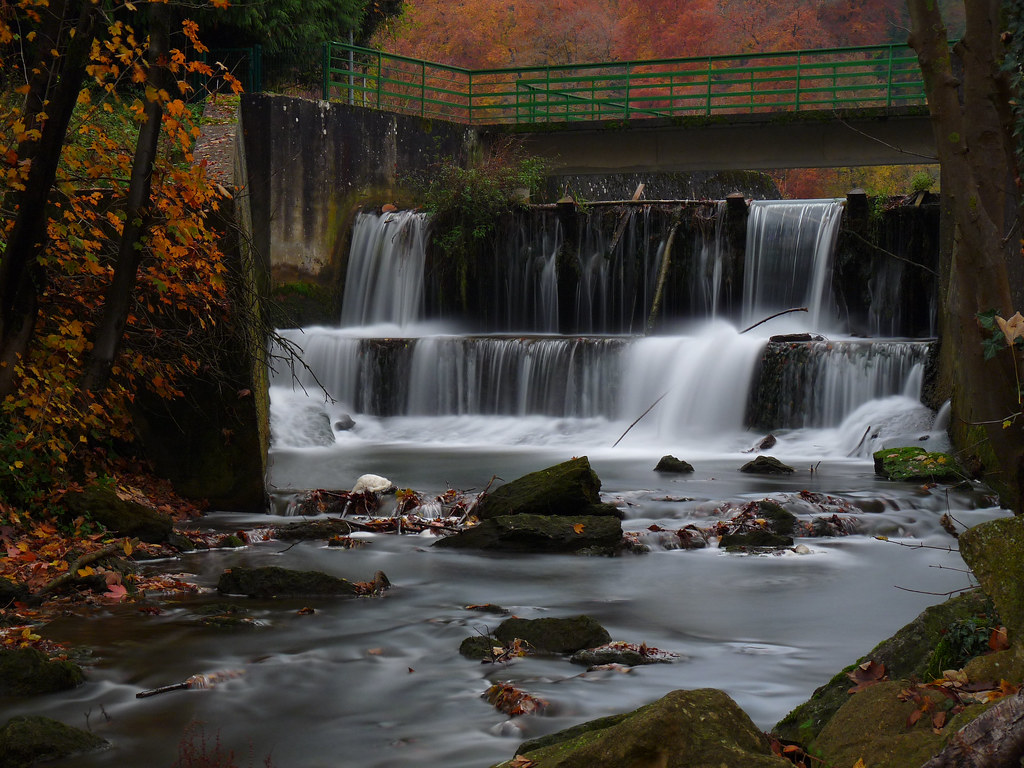
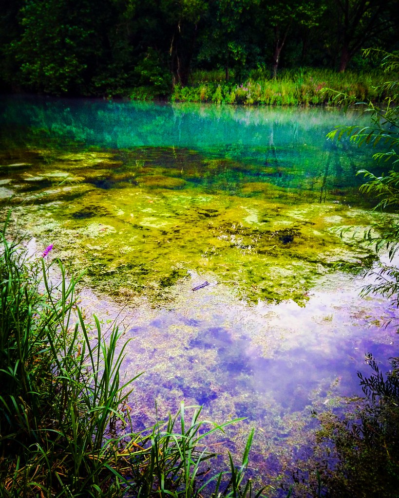
Filé d'eau

Echouage assuré

Random Points 160 | Random Point #33

Gun battery "Langer Max"

Gun battery "Langer Max"
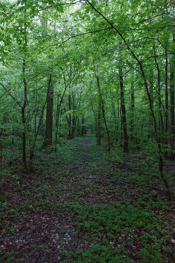
Près de l'étang

Briey 2 Aug 2009
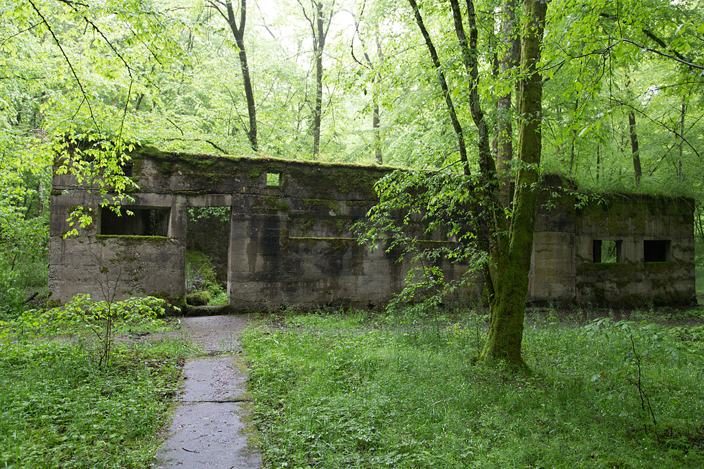
Camp Marguerre

Gun battery "Langer Max"
Le chemin des remparts

Camp Marguerre
Gun battery "Langer Max"

Camp Marguerre

Camp Marguerre
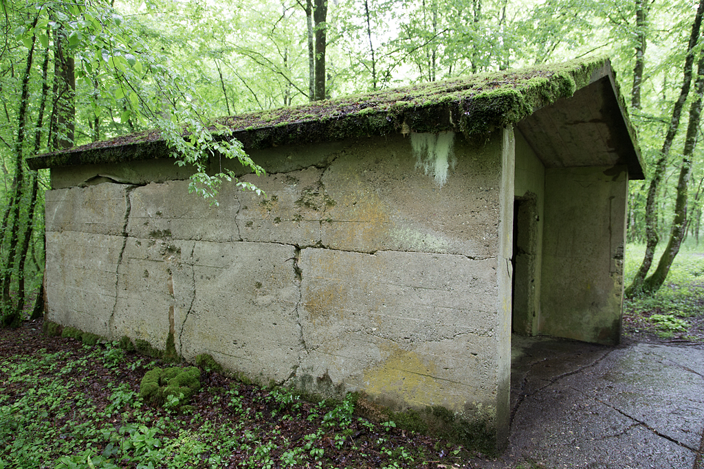
Camp Marguerre

Camp Marguerre

IMG_2957-60_v1

IMG_2957-60
2016-07-30_04-04-52
Topographic Map of Bouligny, France
Find elevation by address:

Places in Bouligny, France:
Places near Bouligny, France:
97 Rue Cité de la Mourière, Bouligny, France
Domprix
11 Grand Rue, Domprix, France
Baslieux
14 Rue du Rim, Baslieux, France
Aumetz
Hussigny-godbrange
Rue du Mal Foch, Hussigny-Godbrange, France
D16, Aumetz, France
Saulnes
1 Rue des Jardins, Saulnes, France
Rodange
Differdange
Oberkorn
Lamadelaine
Belval-rédange
Audun-le-tiche
Neufchef
Belvaux
Belval, Lycée
Recent Searches:
- Elevation of Dog Leg Dr, Minden, NV, USA
- Elevation of Dog Leg Dr, Minden, NV, USA
- Elevation of Kambingan Sa Pansol Atbp., Purok 7 Pansol, Candaba, Pampanga, Philippines
- Elevation of Pinewood Dr, New Bern, NC, USA
- Elevation of Mountain View, CA, USA
- Elevation of Foligno, Province of Perugia, Italy
- Elevation of Blauwestad, Netherlands
- Elevation of Bella Terra Blvd, Estero, FL, USA
- Elevation of Estates Loop, Priest River, ID, USA
- Elevation of Woodland Oak Pl, Thousand Oaks, CA, USA