Elevation of 97 Rue Cité de la Mourière, Bouligny, France
Location: France > Alsace-champagne-ardenne-lorraine > Meuse > Bouligny >
Longitude: 5.7638812
Latitude: 49.3066369
Elevation: 301m / 988feet
Barometric Pressure: 98KPa
Elevation Map:
Satellite Map:
Related Photos:
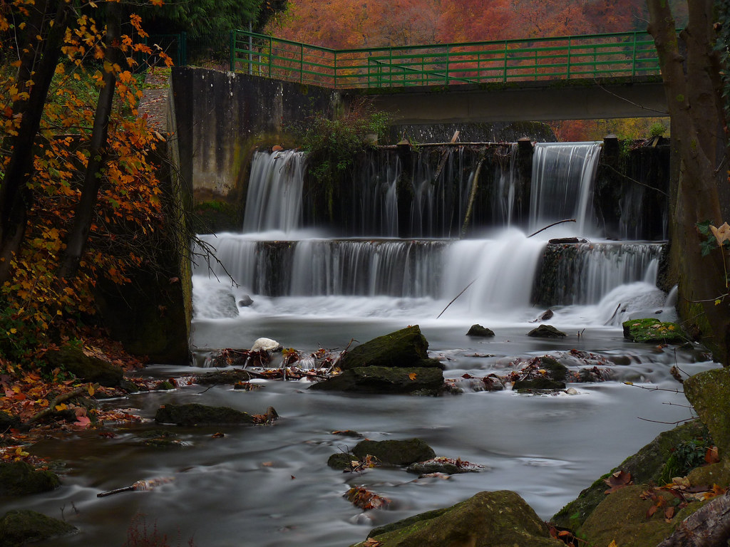
Filé d'eau

Echouage assuré

Briey 2 Aug 2009

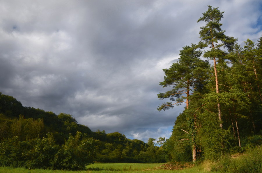
Rest area in the forest

Rest area in the forest
2016-07-30_04-04-52

Random Points 160 | Random Point #33

Gun battery "Langer Max"

Gun battery "Langer Max"
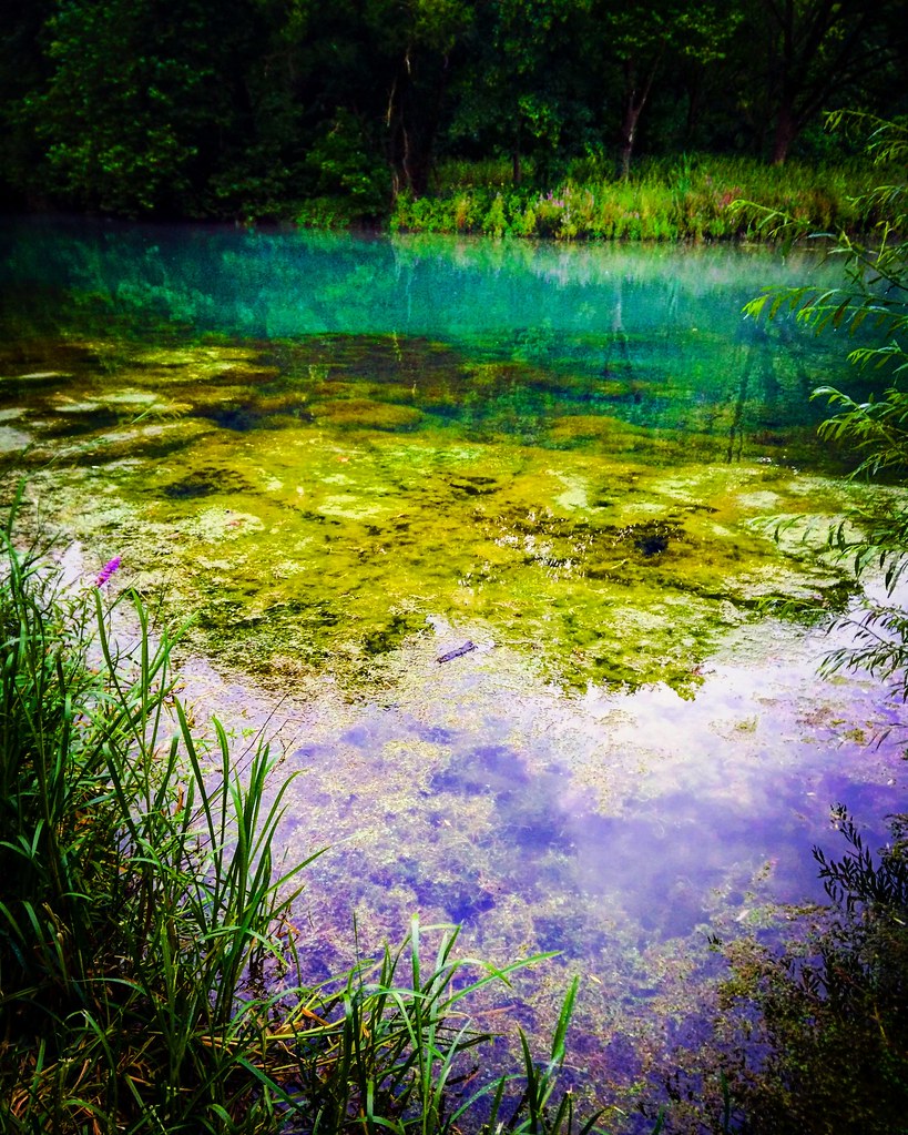
Près de l'étang
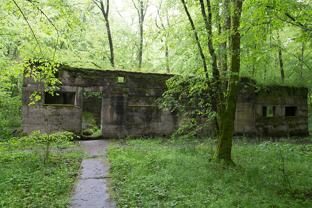
Camp Marguerre

Gun battery "Langer Max"
Le chemin des remparts

Camp Marguerre
Gun battery "Langer Max"

Camp Marguerre

Camp Marguerre
Camp Marguerre

Camp Marguerre

IMG_2957-60_v1

IMG_2957-60
Topographic Map of 97 Rue Cité de la Mourière, Bouligny, France
Find elevation by address:

Places near 97 Rue Cité de la Mourière, Bouligny, France:
Domprix
11 Grand Rue, Domprix, France
Bouligny
14 Rue du Rim, Baslieux, France
Baslieux
Aumetz
D16, Aumetz, France
Hussigny-godbrange
Rue du Mal Foch, Hussigny-Godbrange, France
Saulnes
1 Rue des Jardins, Saulnes, France
Differdange
Rodange
Oberkorn
Belval-rédange
Audun-le-tiche
Lamadelaine
Belvaux
Neufchef
1 Quartier Saint-Laurent, Audun-le-Tiche, France
Recent Searches:
- Elevation of Martins Mill Ct, Eagle Rock, NC, USA
- Elevation of Kippen, Stirling FK8, UK
- Elevation of Sieveringer Straße, Sieveringer Str., Wien, Austria
- Elevation of Bratskaya Ulitsa, 24, Kurgan, Kurganskaya oblast', Russia
- Elevation of Paradisvegen, Biri, Norway
- Elevation of Crystal Cir, Birmingham, AL, USA
- Elevation of N Railroad Ave, West Palm Beach, FL, USA
- Elevation of 55 Cassick Valley Rd, Wellfleet, MA, USA
- Elevation of Ironwood Dr, Minden, NV, USA
- Elevation of 高尾山口駅, Takaomachi, Hachioji, Tokyo -, Japan