Elevation of Borger, TX, USA
Location: United States > Texas > Hutchinson County >
Longitude: -101.39738
Latitude: 35.6678203
Elevation: 938m / 3077feet
Barometric Pressure: 91KPa
Elevation Map:
Satellite Map:
Related Photos:
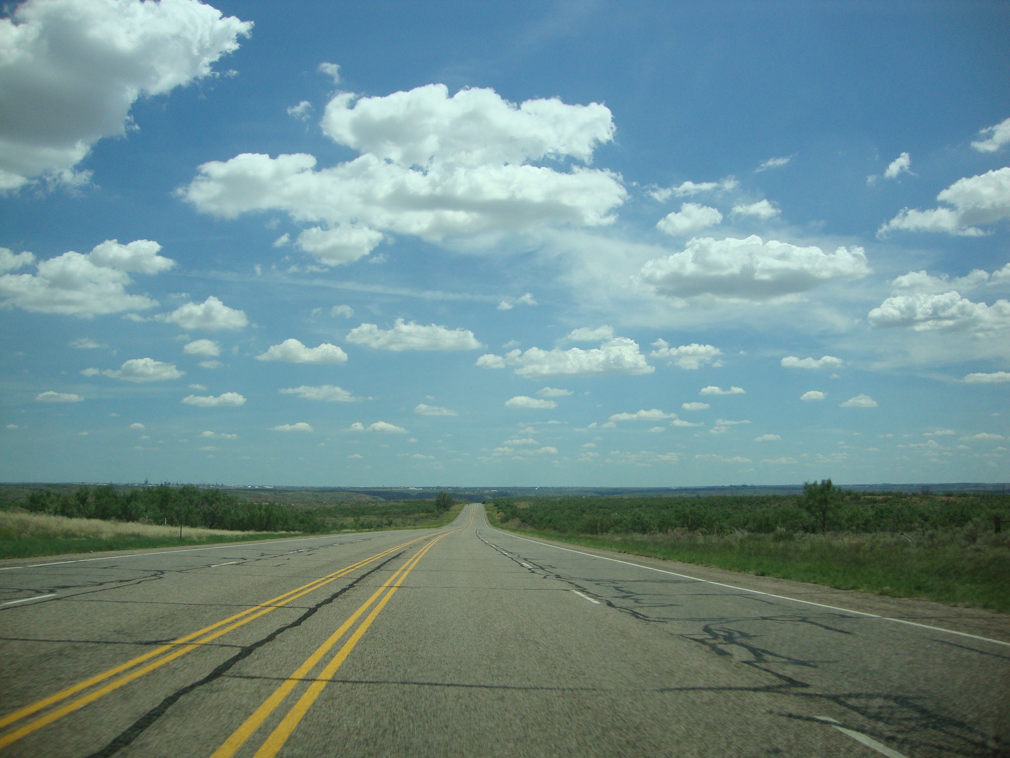
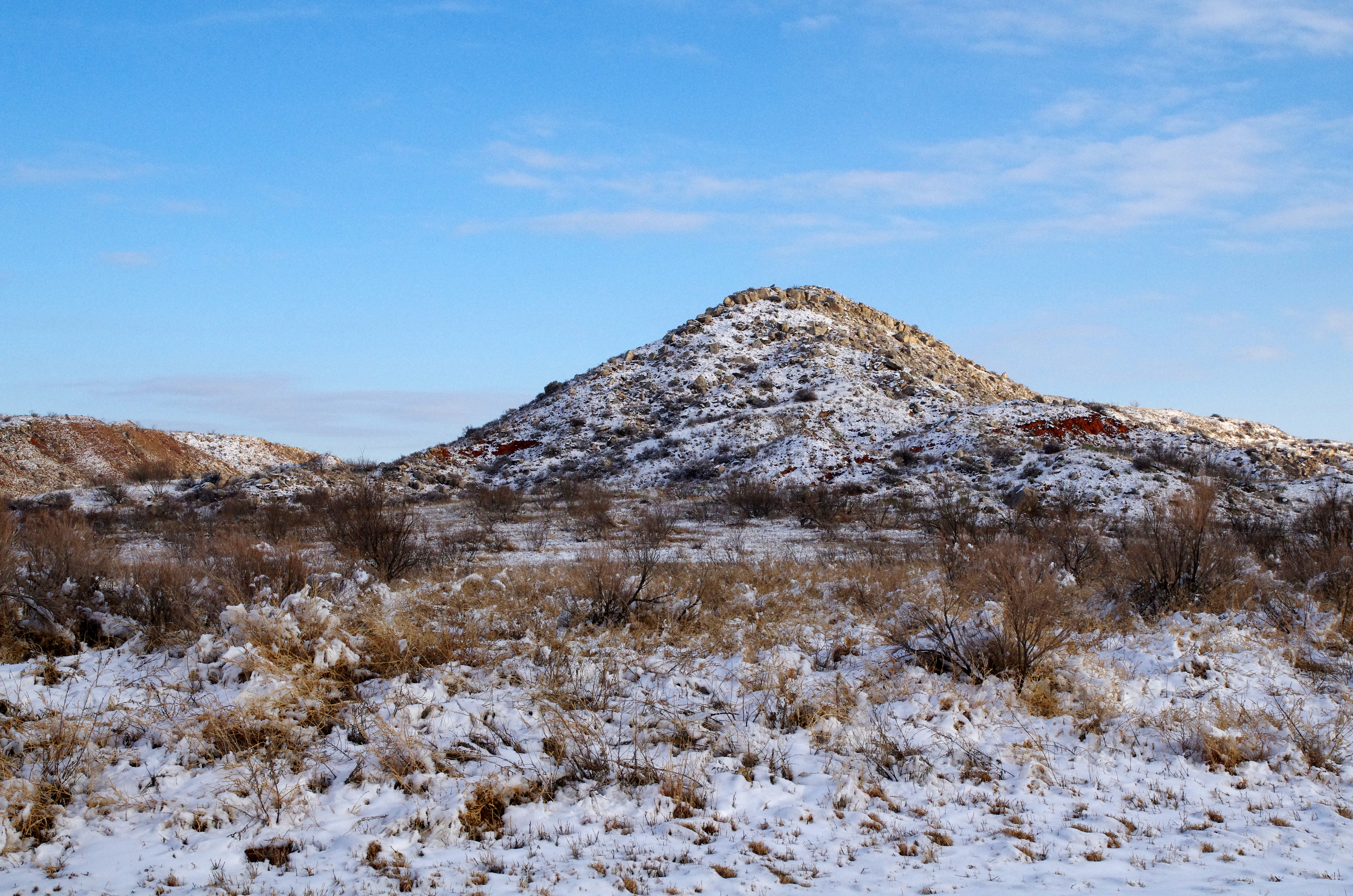
DSC03544
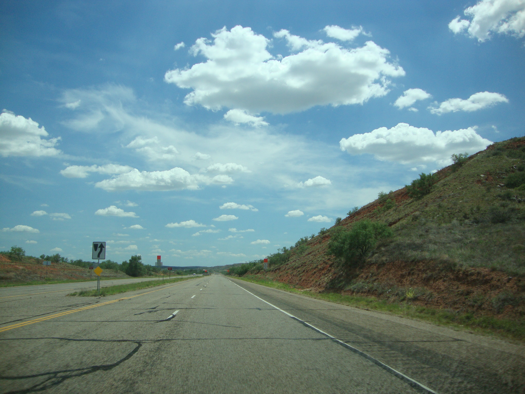
DSC03546
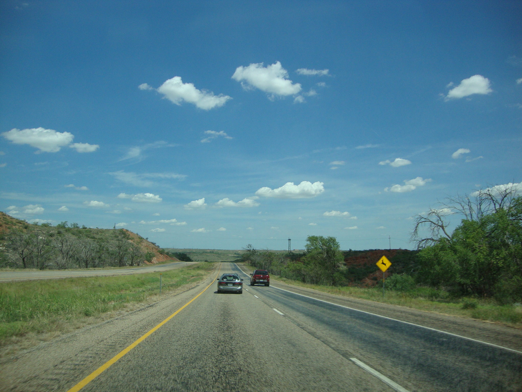
DSC03582
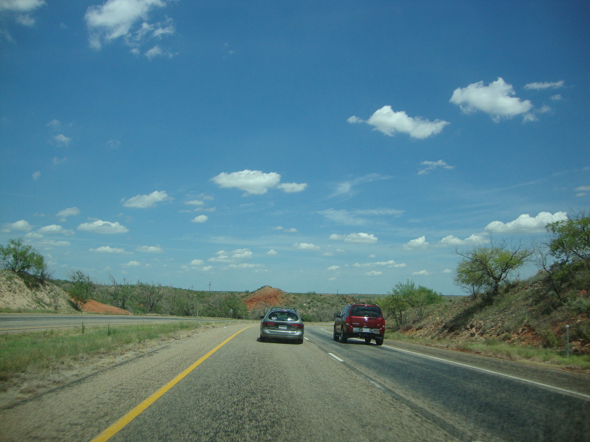
DSC03581
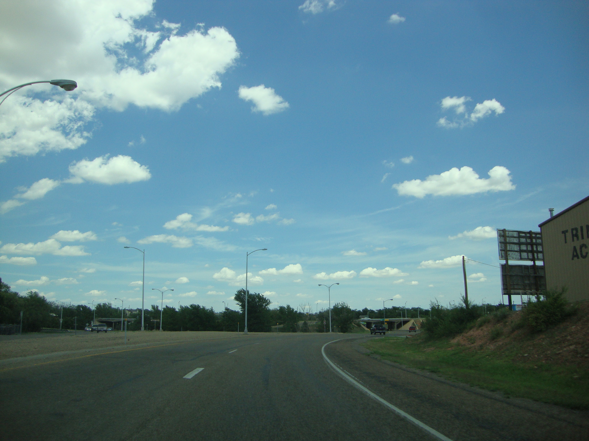
DSC03567
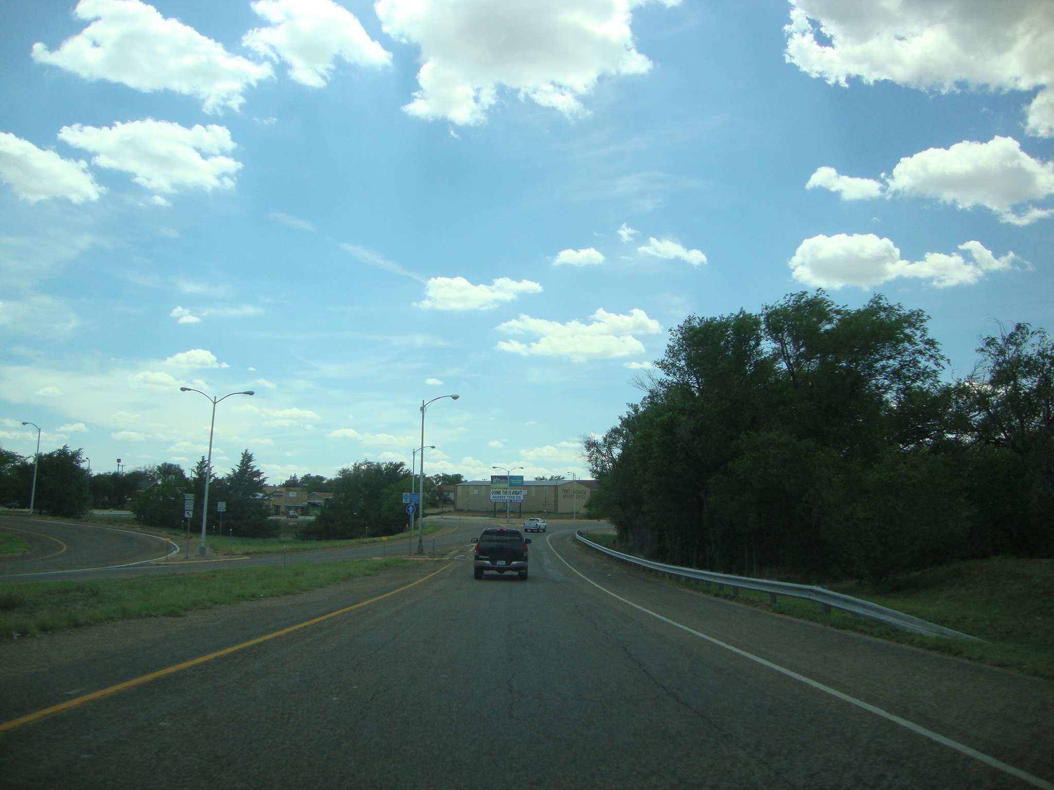
DSC03565
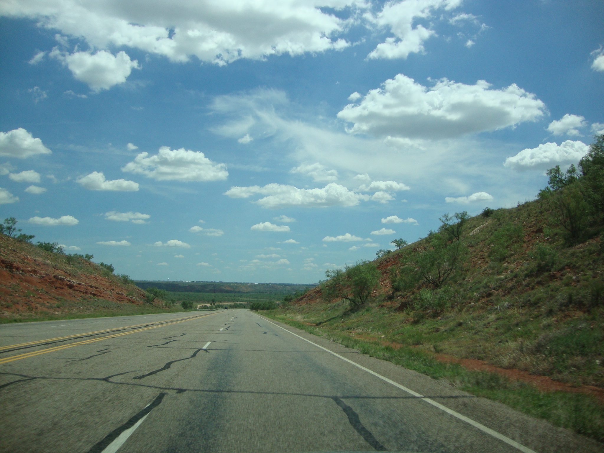
DSC03545
Lake Meredith Stilling Basin

Bird - Still need to ID

Our #sundayfunday at #lakemeredith. #miahhall and auntie had fun on the boat dock. #lake #Fritch #fritchtexas #texas #visittexas #fishing #boating #boat #boats #fish
Topographic Map of Borger, TX, USA
Find elevation by address:

Places in Borger, TX, USA:
Places near Borger, TX, USA:
W 3rd St, Borger, TX, USA
1310 Evergreen St
Hutchinson County
Sanford
Stinnett
Fritch
Carson County
Panhandle
Cemetery Road
Moore County
E Amarillo Blvd, Amarillo, TX, USA
TX-, Amarillo, TX, USA
Rick Husband Amarillo International Airport
10801 Airport Blvd
Amarillo Koa Journey
Bluebonnet Dr, Amarillo, TX, USA
Masterson
Valle De Oro Detectors
2601 Ne 20th Ave
E 4th St, Gruver, TX, USA
Recent Searches:
- Elevation of 24 Oakland Rd #, Scotland, ON N0E 1R0, Canada
- Elevation of Deep Gap Farm Rd E, Mill Spring, NC, USA
- Elevation of Dog Leg Dr, Minden, NV, USA
- Elevation of Dog Leg Dr, Minden, NV, USA
- Elevation of Kambingan Sa Pansol Atbp., Purok 7 Pansol, Candaba, Pampanga, Philippines
- Elevation of Pinewood Dr, New Bern, NC, USA
- Elevation of Mountain View, CA, USA
- Elevation of Foligno, Province of Perugia, Italy
- Elevation of Blauwestad, Netherlands
- Elevation of Bella Terra Blvd, Estero, FL, USA