Elevation of Blue Ridge Mountain Rd, Bluemont, VA, USA
Location: United States > Virginia > Clarke County > Millwood > Millwood >
Longitude: -77.871030
Latitude: 39.0818143
Elevation: 504m / 1654feet
Barometric Pressure: 95KPa
Elevation Map:
Satellite Map:
Related Photos:
Live in Dreams
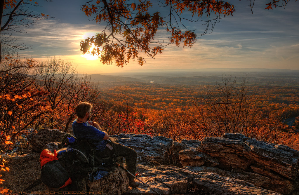
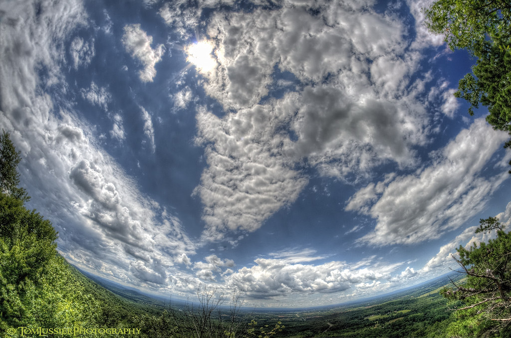
Into the Valley
Paris Autumn Morning
Sky Meadows Autumn
Autumn Evening
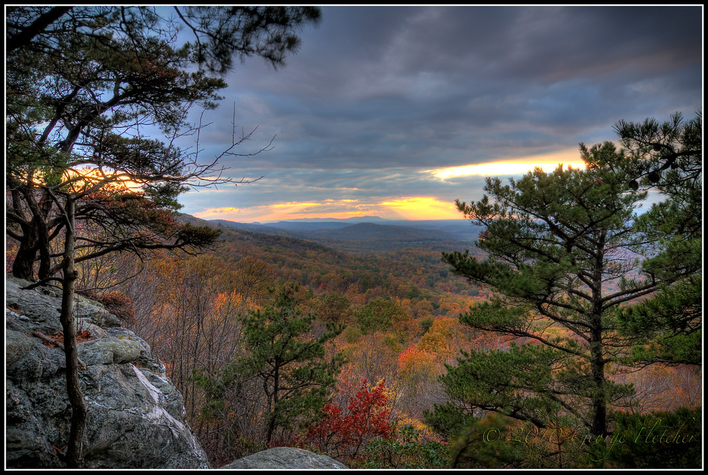
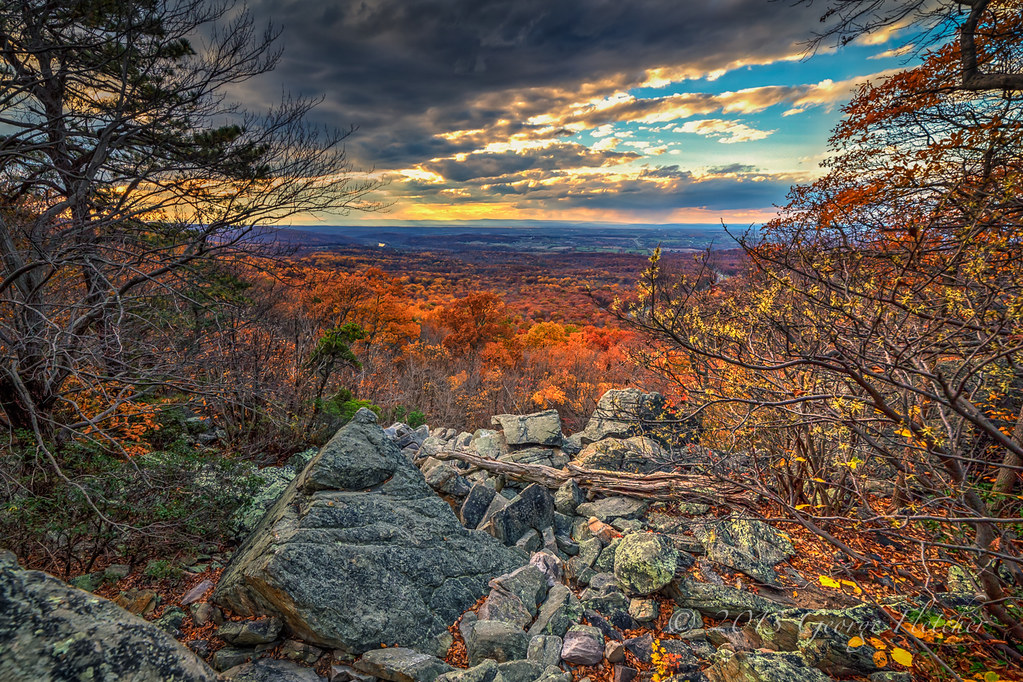
Bears Den Autumn Sunset ~Explore~

Ovoka Farm, served as HQ in the Civil War, now where the cattle roam

Foxlease Farm, Upperville, VA
Days End Reward

Kenilworth, circa 1800, Upperville, VA
My First HDR: September 2005
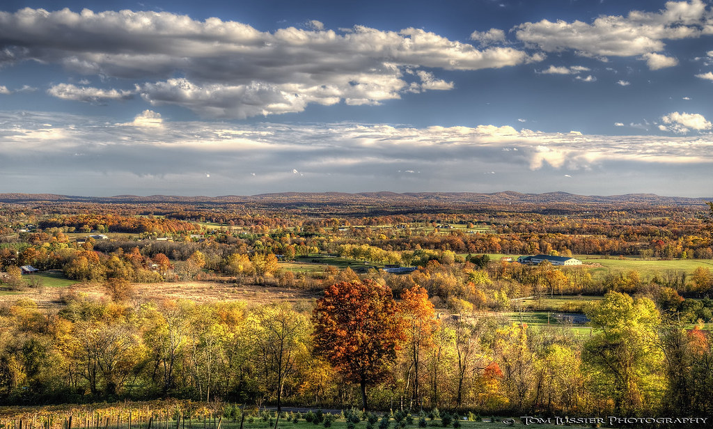
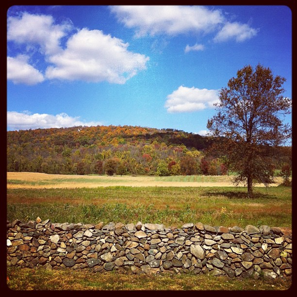
Autumn in Virginia

Schoolhouse at Bollingbrook (side view)

View along the driveway at Seaton Place
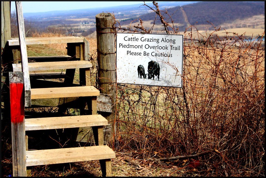
Maybe Beware of Cows?
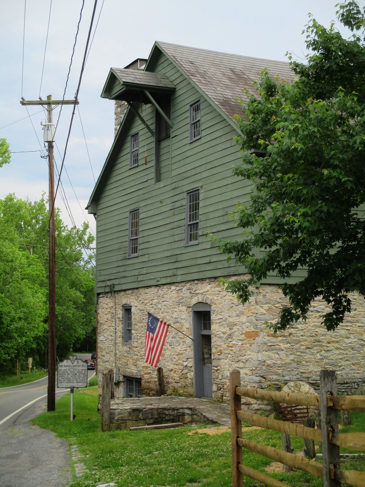
Roadside View of Burwell Morgan Mill
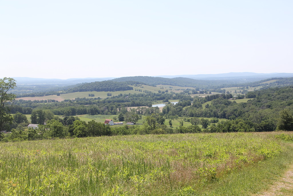
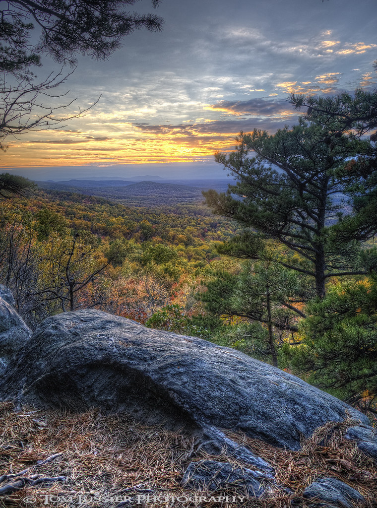
Sky Meadows State Park - A View from the North Ridge Trail

Carter Hall, circa 1790s, Millwood, VA
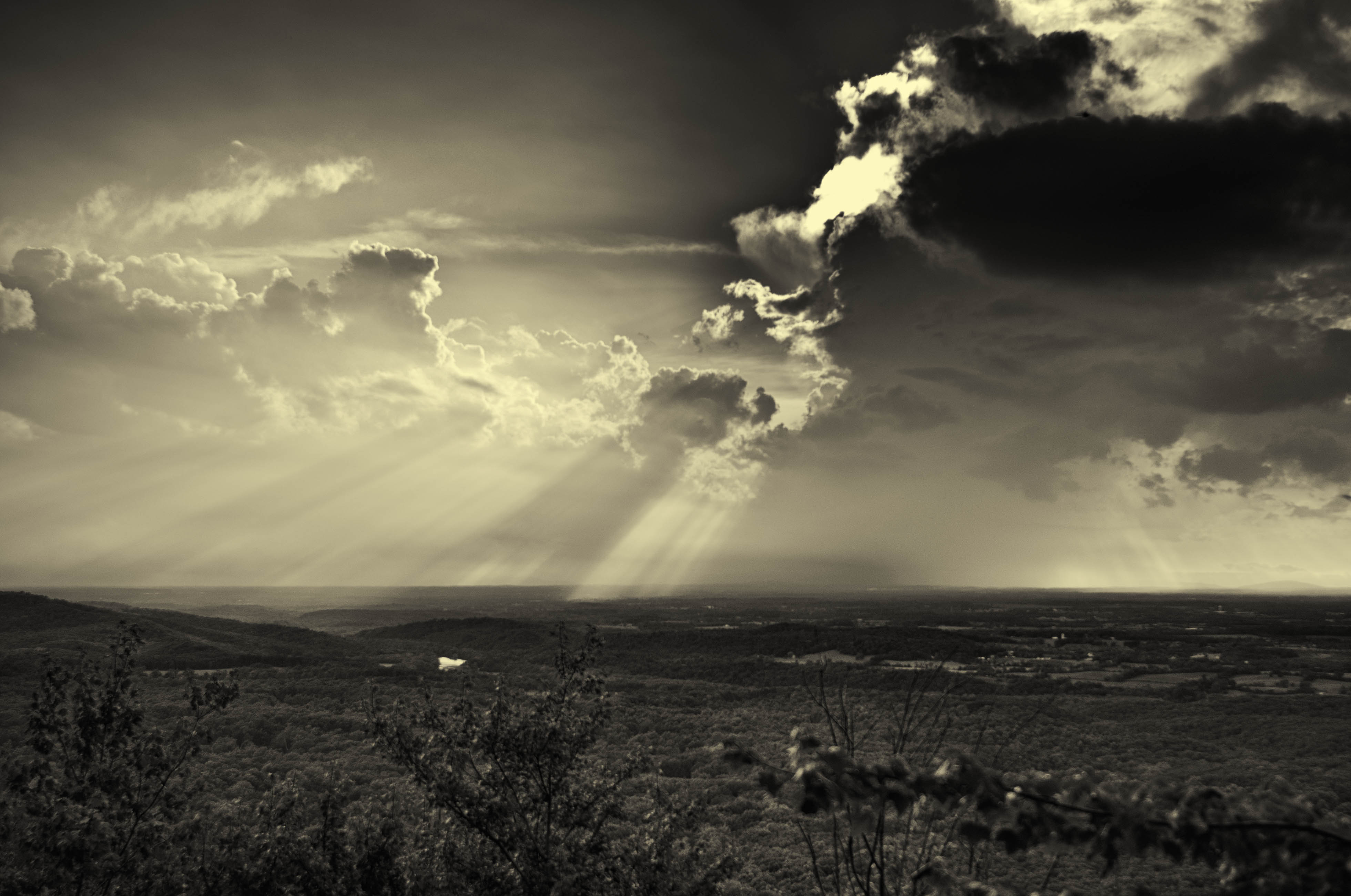
A storm in the distance, Bear's Den, Clarke County, Virginia
Shenandoah River View

Artwork at Foxlease Farm, Upperville, VA
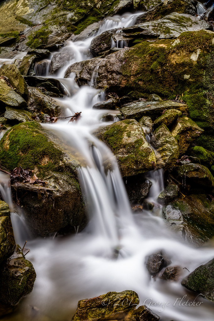
Hollow Brook

Long Branch Farm Lane
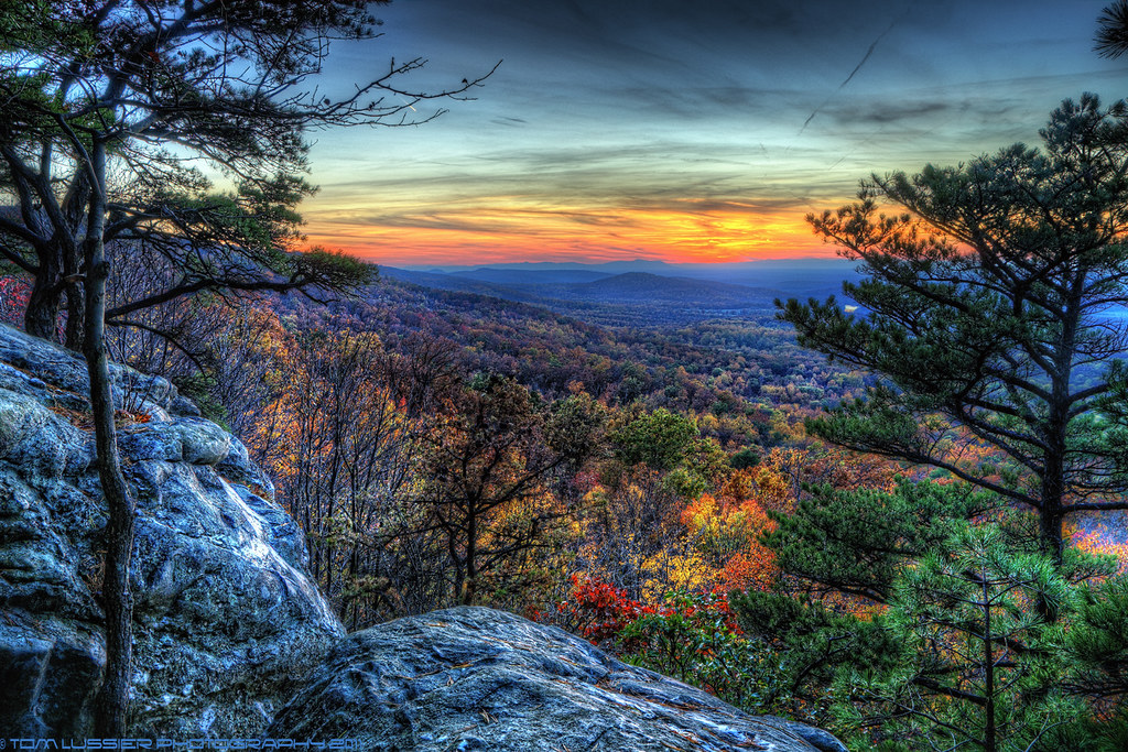
Evening at Bears Den

“I will grow. I will become something new and grand, but no grander than I now am. Just as the sky will be different in a few hours, its present perfection and completeness is not deficient.”- Wayne Dyer... Revisiting some of my older work, this was 2007
Summer Dreams

Oak Springs Farm Mellon Estate
Virginia is so pretty in the Fall!

Stone Bridge across Goose Creek ("the Goose") at Oak Spring Farm, Upperville, VA

The route to Winchester
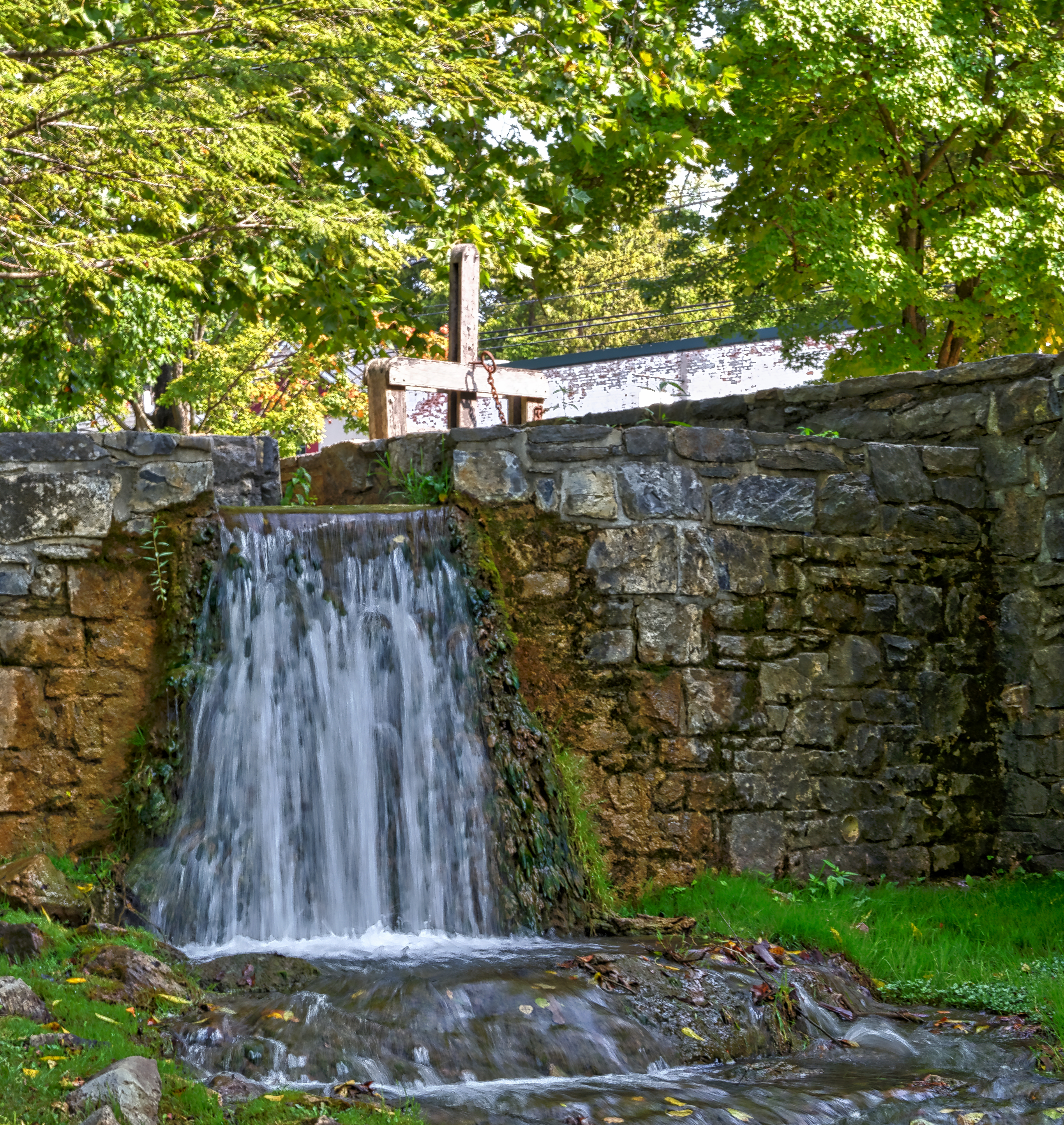
Mill Race
:: exist ::

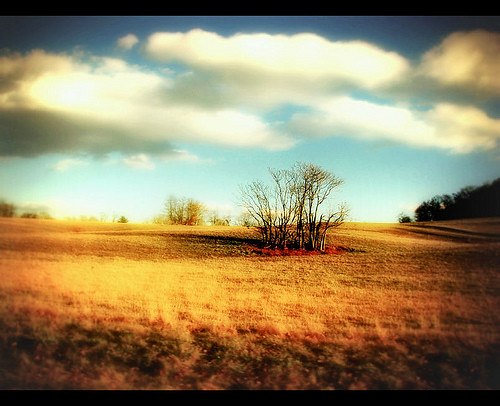
In between...
Summer Daze ~ Explore ~
Topographic Map of Blue Ridge Mountain Rd, Bluemont, VA, USA
Find elevation by address:

Places near Blue Ridge Mountain Rd, Bluemont, VA, USA:
19605 Blue Ridge Mountain Rd
20547 Trappe Rd
33334 Heart Trouble Ln
Mount Weather Emergency Operations Center
Trappe Rd, Upperville, VA, USA
19304 Dodderidge Ct
19844 Blue Ridge Mountain Rd
18393 Blue Ridge Mountain Rd
Bears Den
18393 Blue Ridge Mountain Rd
18393 Blue Ridge Mountain Rd
19830 Ridgeside Rd
Austin Grove Rd, Bluemont, VA, USA
Bear Chase Brewing Company
Bluemont
111 Honeysuckle Ln
18701 Foggy Bottom Rd
20520 Blue Ridge Mountain Rd
18755 Foggy Bottom Rd
112 Maple Ln
Recent Searches:
- Elevation of Lampiasi St, Sarasota, FL, USA
- Elevation of Elwyn Dr, Roanoke Rapids, NC, USA
- Elevation of Congressional Dr, Stevensville, MD, USA
- Elevation of Bellview Rd, McLean, VA, USA
- Elevation of Stage Island Rd, Chatham, MA, USA
- Elevation of Shibuya Scramble Crossing, 21 Udagawacho, Shibuya City, Tokyo -, Japan
- Elevation of Jadagoniai, Kaunas District Municipality, Lithuania
- Elevation of Pagonija rock, Kranto 7-oji g. 8"N, Kaunas, Lithuania
- Elevation of Co Rd 87, Jamestown, CO, USA
- Elevation of Tenjo, Cundinamarca, Colombia