Elevation of Blue Bird Ln, Pueblo, CO, USA
Location: United States > Colorado > Pueblo County > Pueblo >
Longitude: -104.72526
Latitude: 38.03748
Elevation: 1638m / 5374feet
Barometric Pressure: 83KPa
Elevation Map:
Satellite Map:
Related Photos:
Food with a view

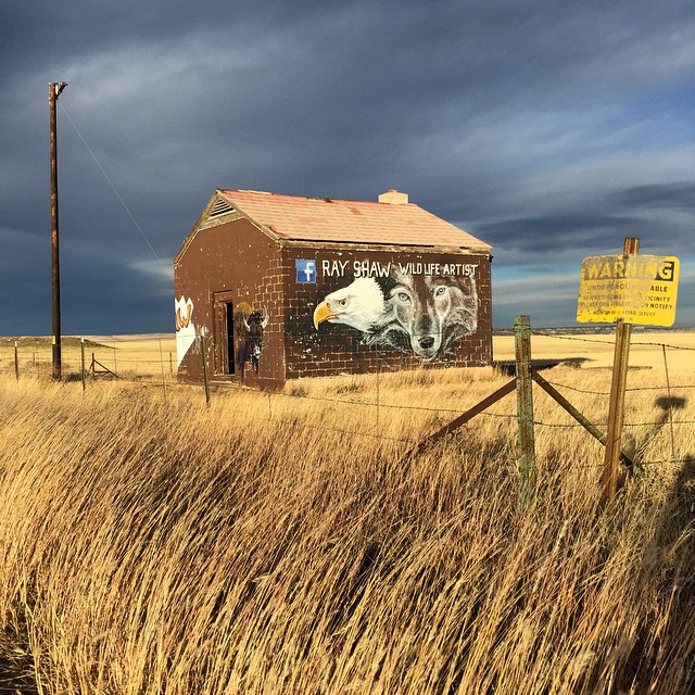
Cement Plant
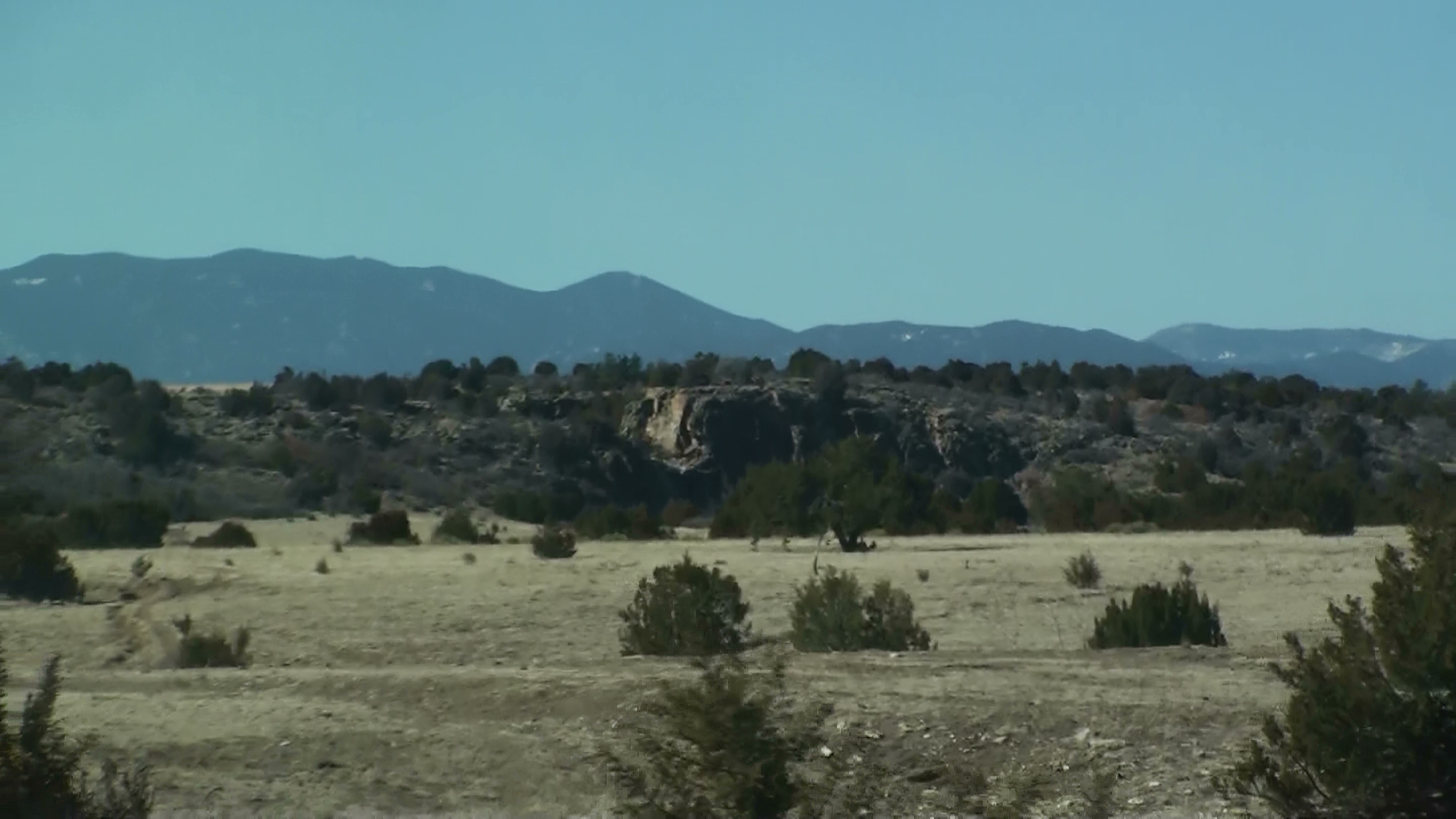
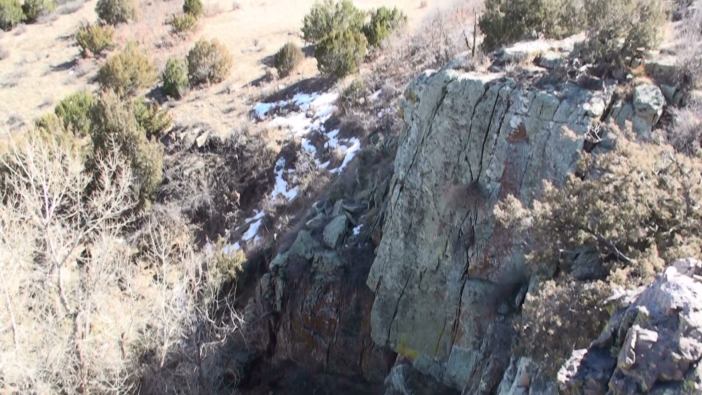
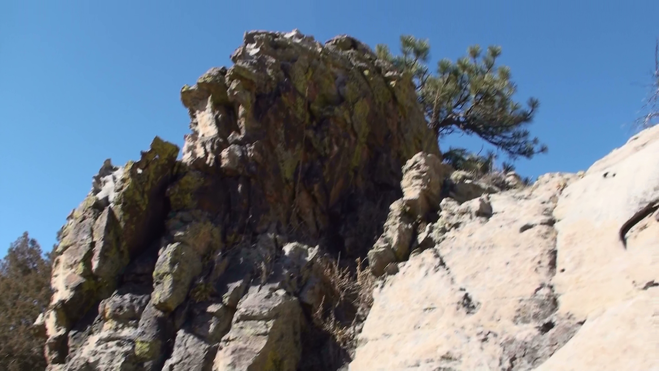
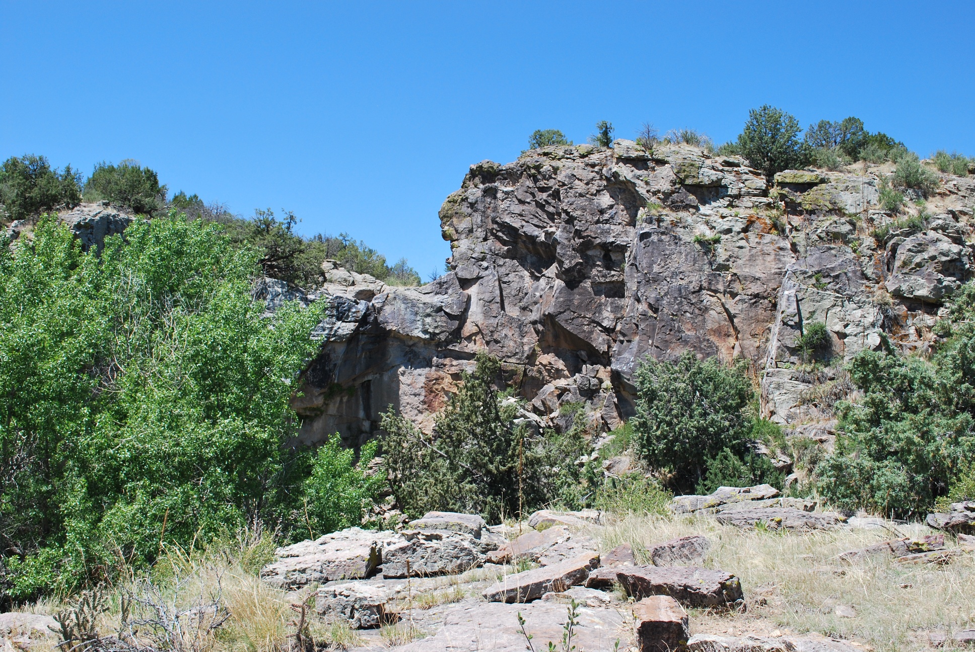
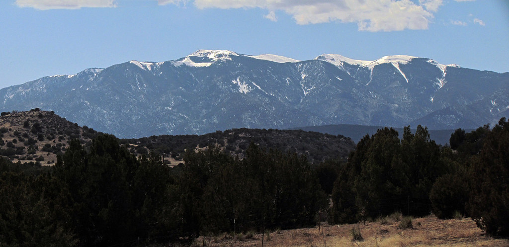
View of Cliffs

Pueblo, CO 81004
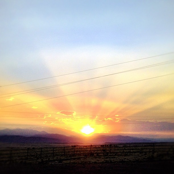
My drive just got longer! I turned around ???? can I say #raodtripporn and not sound creepy? #colorado #I25 #rayshaw THANK YOU!!!
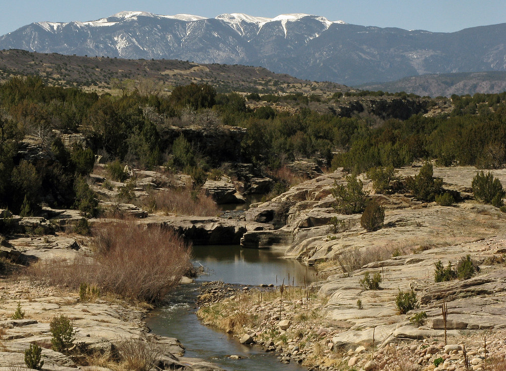
St. Charles River: Burnt Mill Road: Pueblo, Colorado (CO)
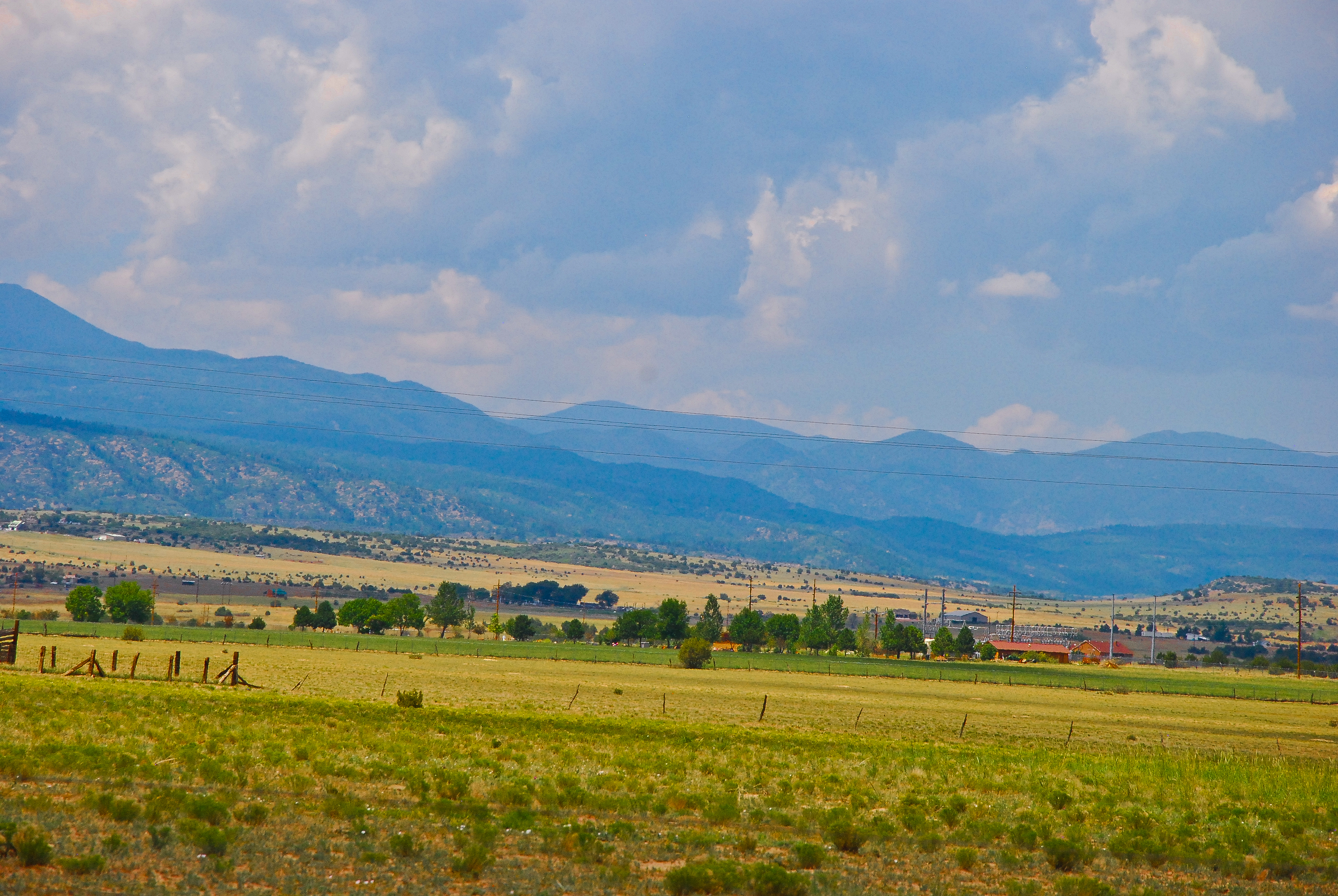
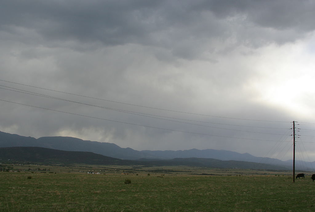
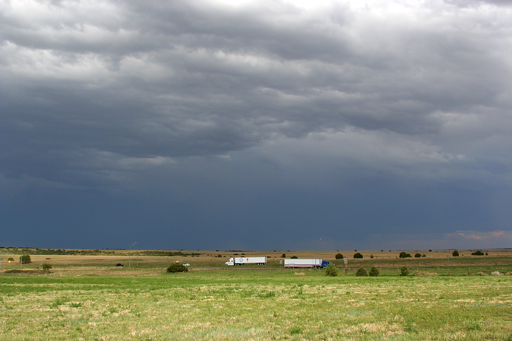
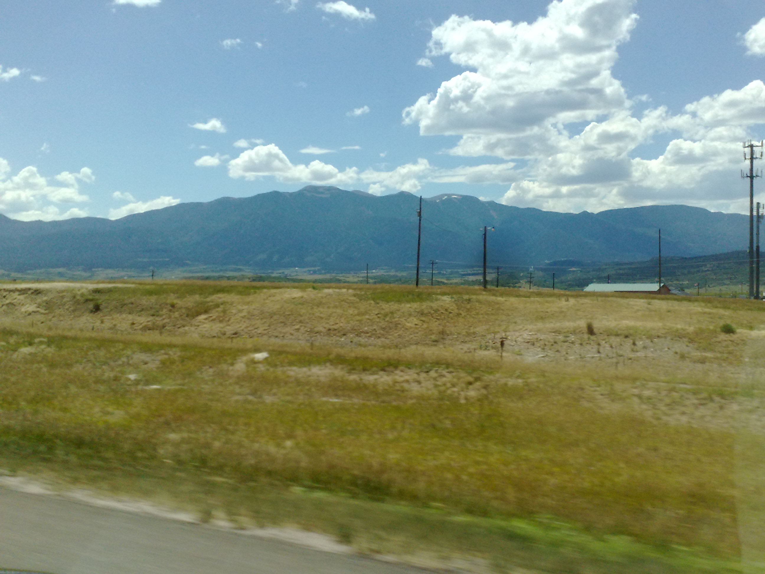
Southern Colorado Landscape
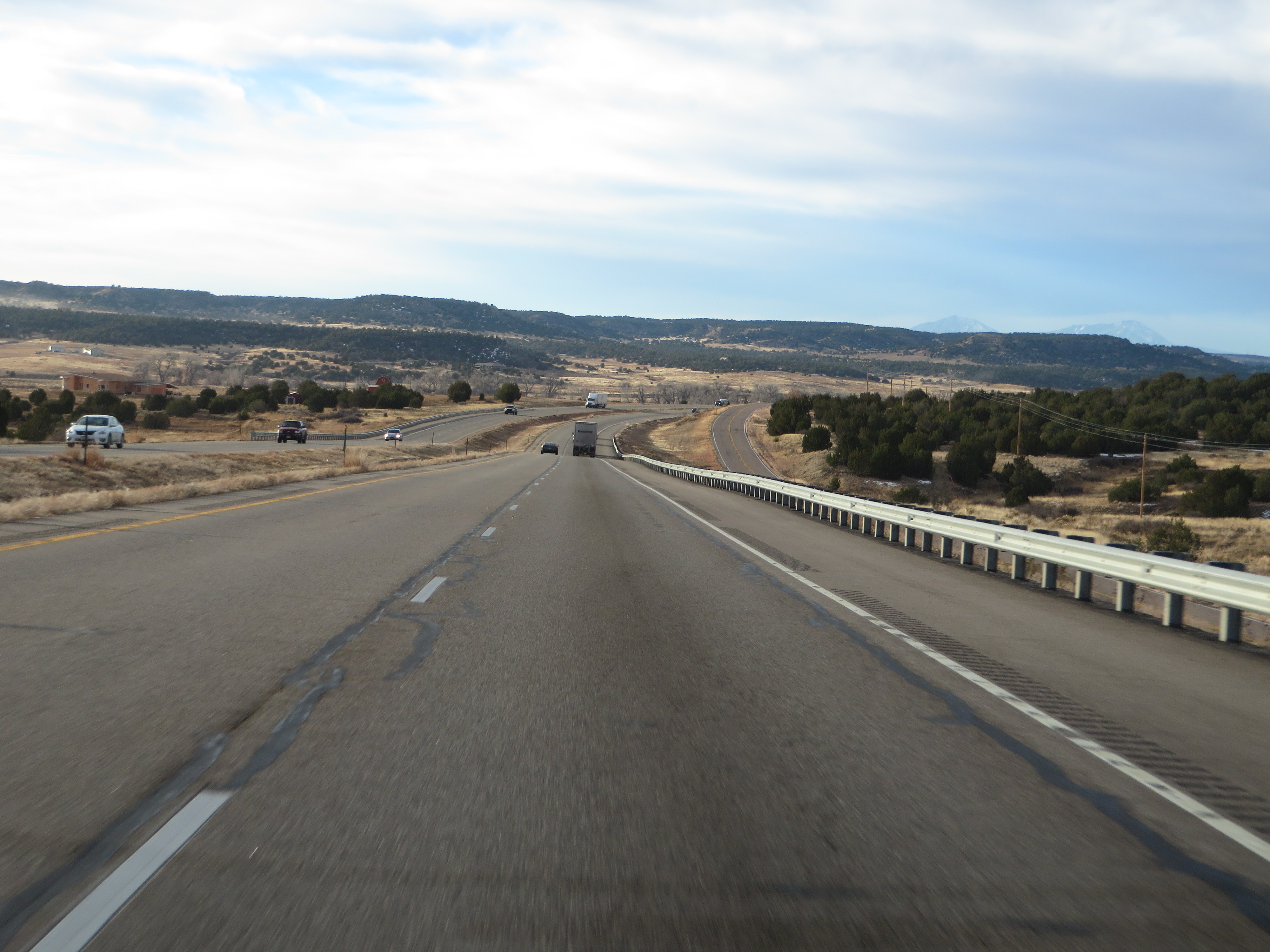
Interstate 25 Between Pueblo and Walsenburg, Colorado
20090221141225(2)
day6-15
day6-13
20090221145205(1)

Interstate 25 in southern Colorado
20090221144115(1)

near Colorado City, CO, United States

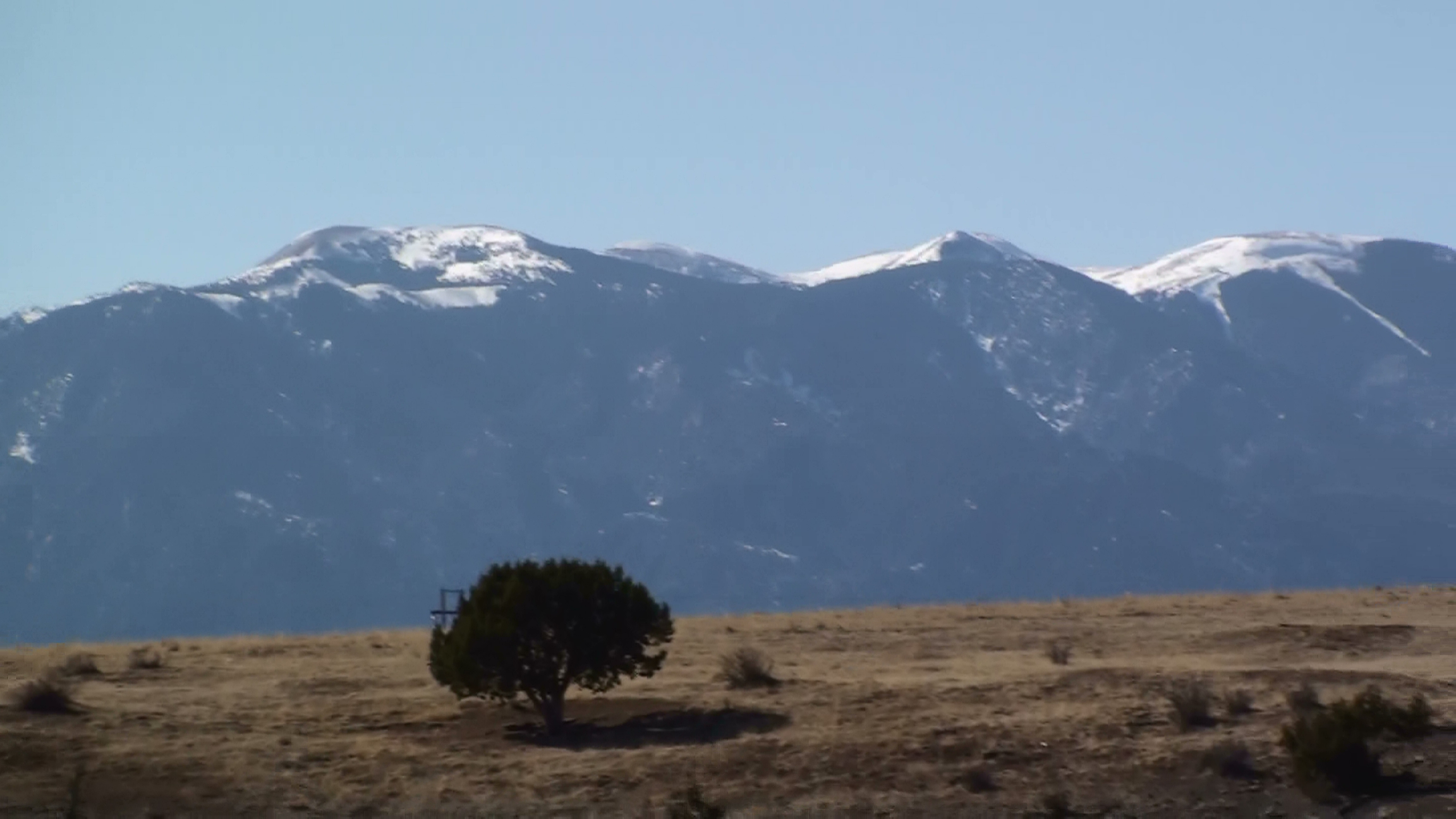
Greenhorn Mountain, Interstate 25 Between Pueblo and Walsenburg, Colorado
Lago Vista Plus038
Driving from Denver to the Great Sand Dunes in Colorado

Lago Vista Plus035

Driving through Colorado
Greenhorn Mountain: Interstate 25, Exit 77: South of Pueblo, Colorado (CO)
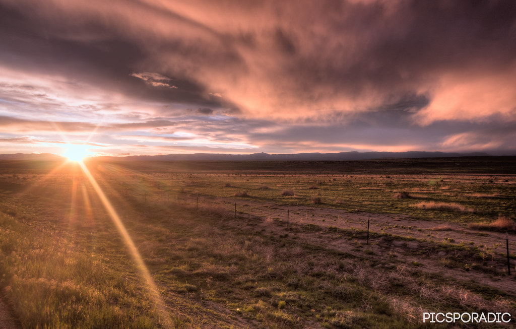
flickr-CO_20150516-84_HDR-33-100 EVAnd4more
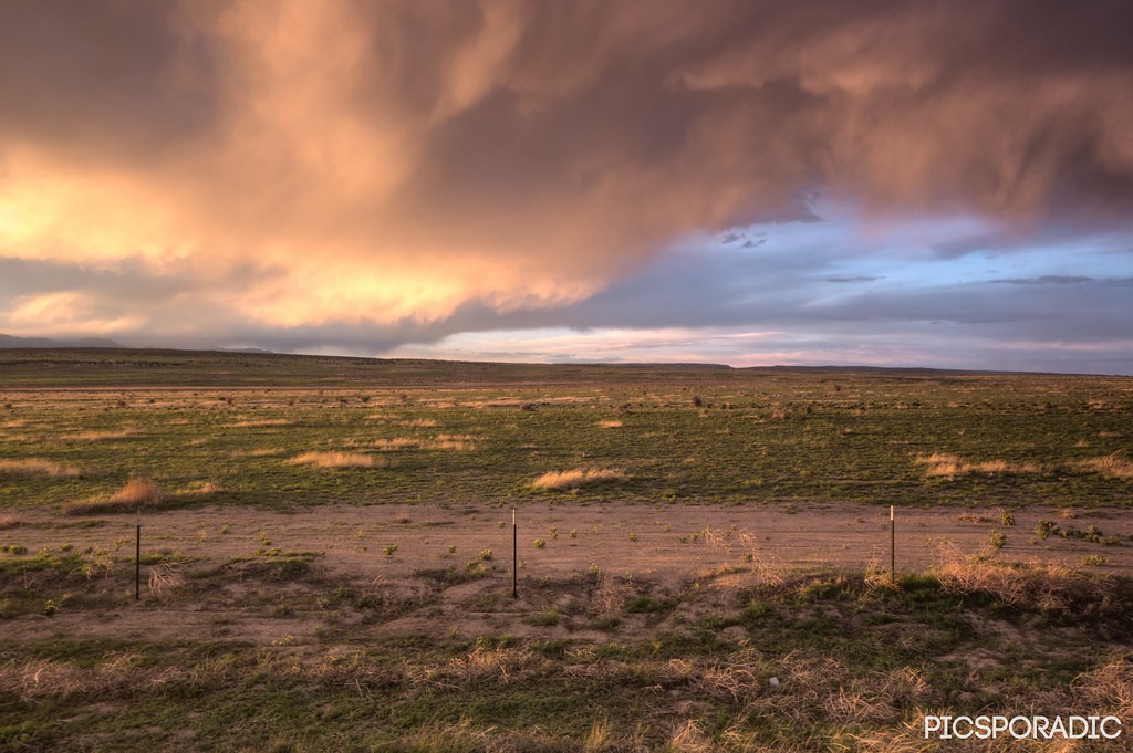
flickr-CO_20150516-93_HDR-2 33-100 EVAnd4more
Topographic Map of Blue Bird Ln, Pueblo, CO, USA
Find elevation by address:

Places near Blue Bird Ln, Pueblo, CO, USA:
5835 Verde Rd
Samuels Lane
Muddy Creek Road
7708 Sunset Ridge Dr
6330 Muddy Creek Rd
7641 South Ln
William Finlay Drive
6430 S Burnt Mill Rd
S Waterbarrel Rd, Beulah, CO, USA
Reno Road
5503 Reno Rd
Railroad Spring Drive
6702 S Waterbarrel Rd
8720 Sun Valley Dr
4377 Rock Creek Rd
Farisita Boulevard
Unnamed Road
Stem Beach
Pueblo, CO, USA
Highland Park
Recent Searches:
- Elevation of Congressional Dr, Stevensville, MD, USA
- Elevation of Bellview Rd, McLean, VA, USA
- Elevation of Stage Island Rd, Chatham, MA, USA
- Elevation of Shibuya Scramble Crossing, 21 Udagawacho, Shibuya City, Tokyo -, Japan
- Elevation of Jadagoniai, Kaunas District Municipality, Lithuania
- Elevation of Pagonija rock, Kranto 7-oji g. 8"N, Kaunas, Lithuania
- Elevation of Co Rd 87, Jamestown, CO, USA
- Elevation of Tenjo, Cundinamarca, Colombia
- Elevation of Côte-des-Neiges, Montreal, QC H4A 3J6, Canada
- Elevation of Bobcat Dr, Helena, MT, USA