Elevation of Farisita Boulevard, Farisita Blvd, Pueblo, CO, USA
Location: United States > Colorado > Pueblo County > Pueblo >
Longitude: -104.81507
Latitude: 38.12028
Elevation: 1736m / 5696feet
Barometric Pressure: 82KPa
Elevation Map:
Satellite Map:
Related Photos:

Pueblo, CO 81004
Fluorescent Moss
Blue Sky Happiness

Berries N Ladybugs-Detailed view
The Sopko Team
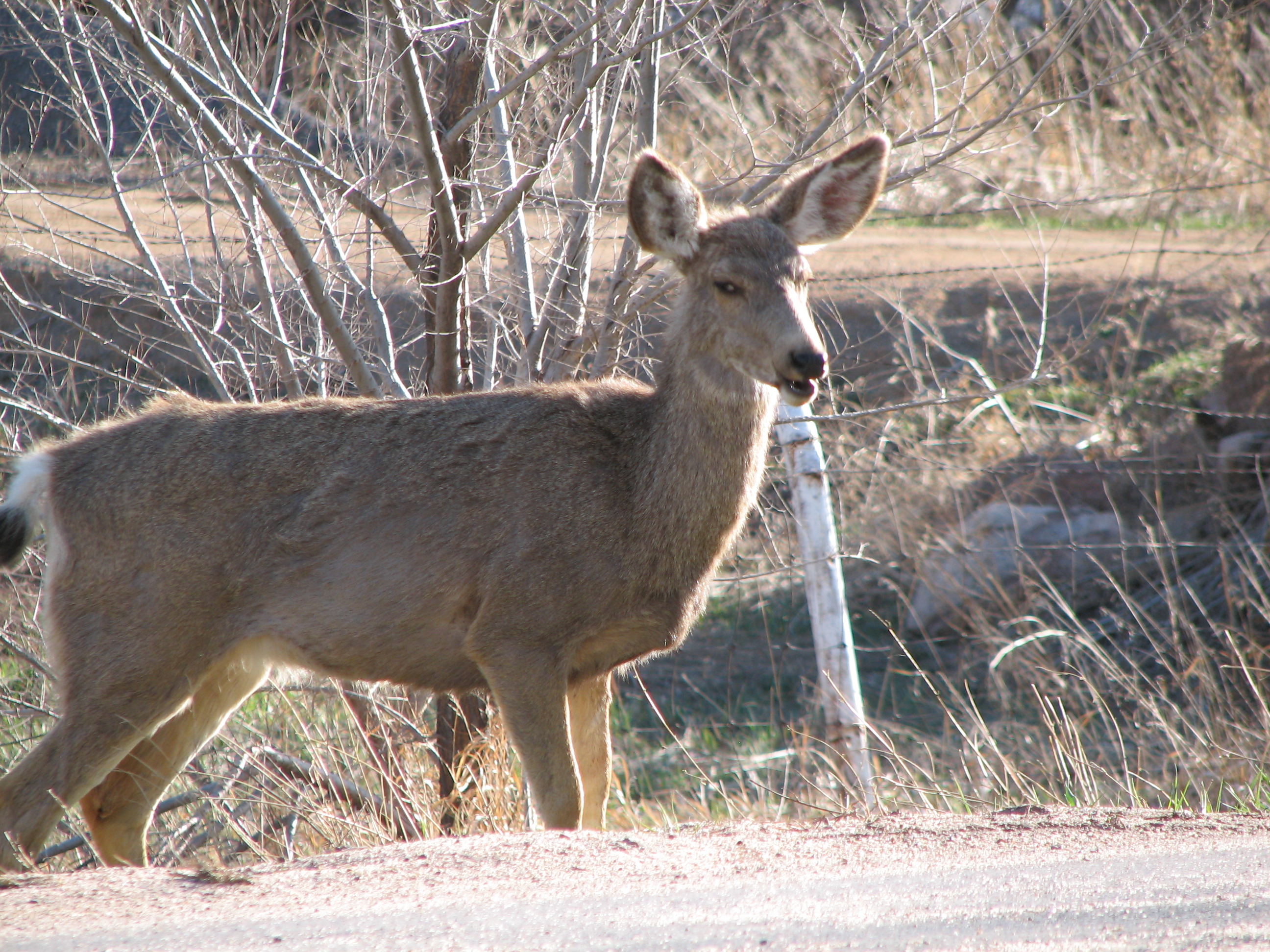
Road rage deer
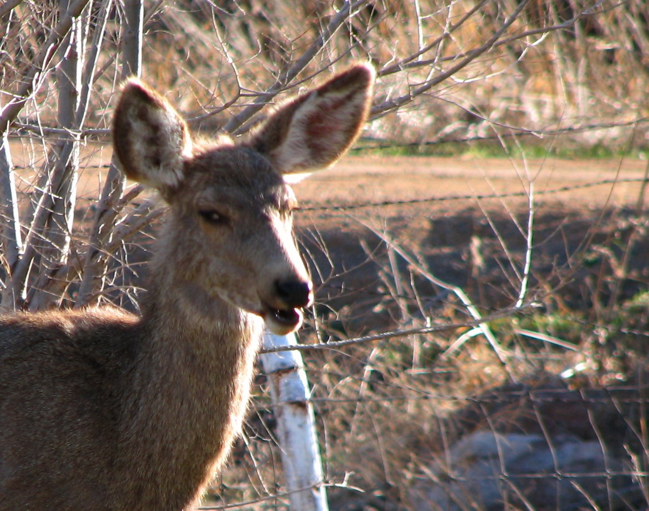
Angry Muley!
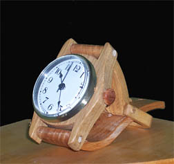
Solid Wood Wristwatch Clock-Mantle view

Faith and Owen
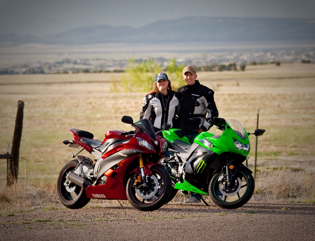
Our Gang
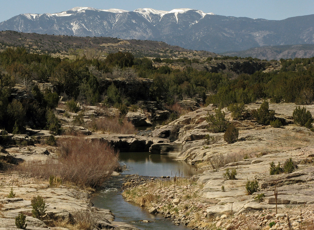
St. Charles River: Burnt Mill Road: Pueblo, Colorado (CO)
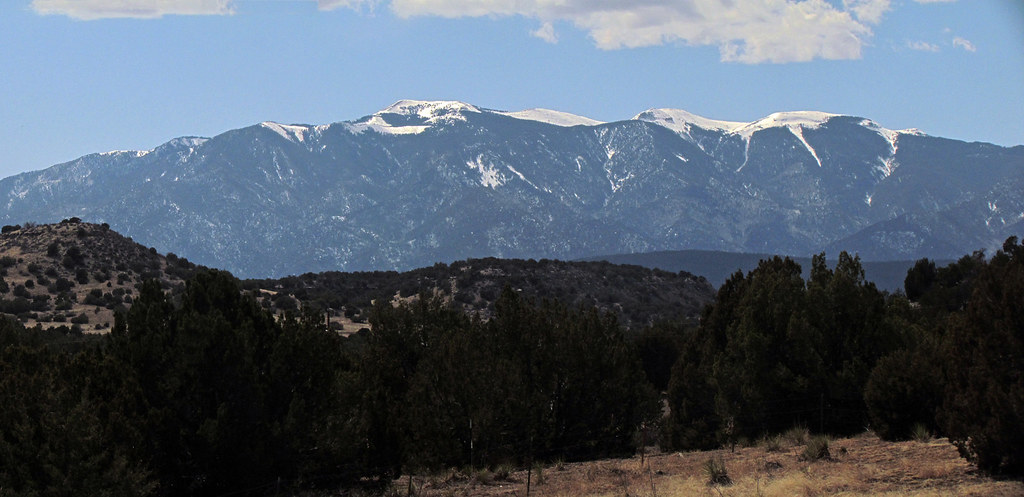
Greenhorn Mountain: Interstate 25, Exit 77: South of Pueblo, Colorado (CO)
Pueblo "training camp"

Pueblo "training camp"
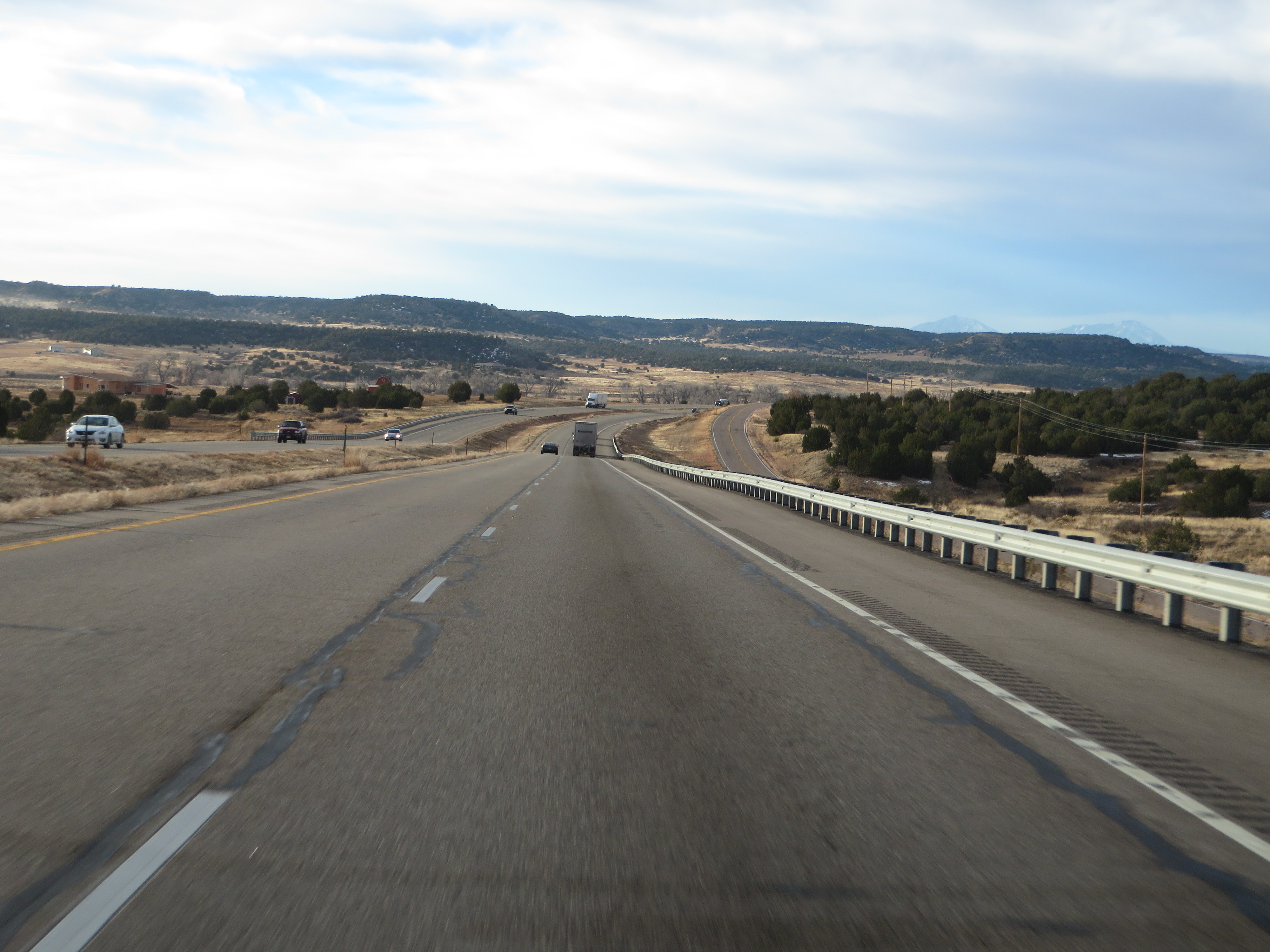
Interstate 25 Between Pueblo and Walsenburg, Colorado
Pueblo "training camp"

Interstate 25 in southern Colorado
Moss Rock
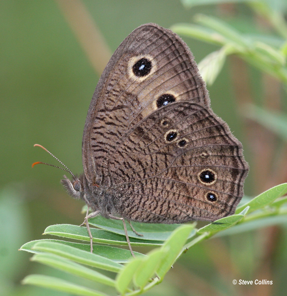
Common Wood-nymph (Cercyonis pegala)
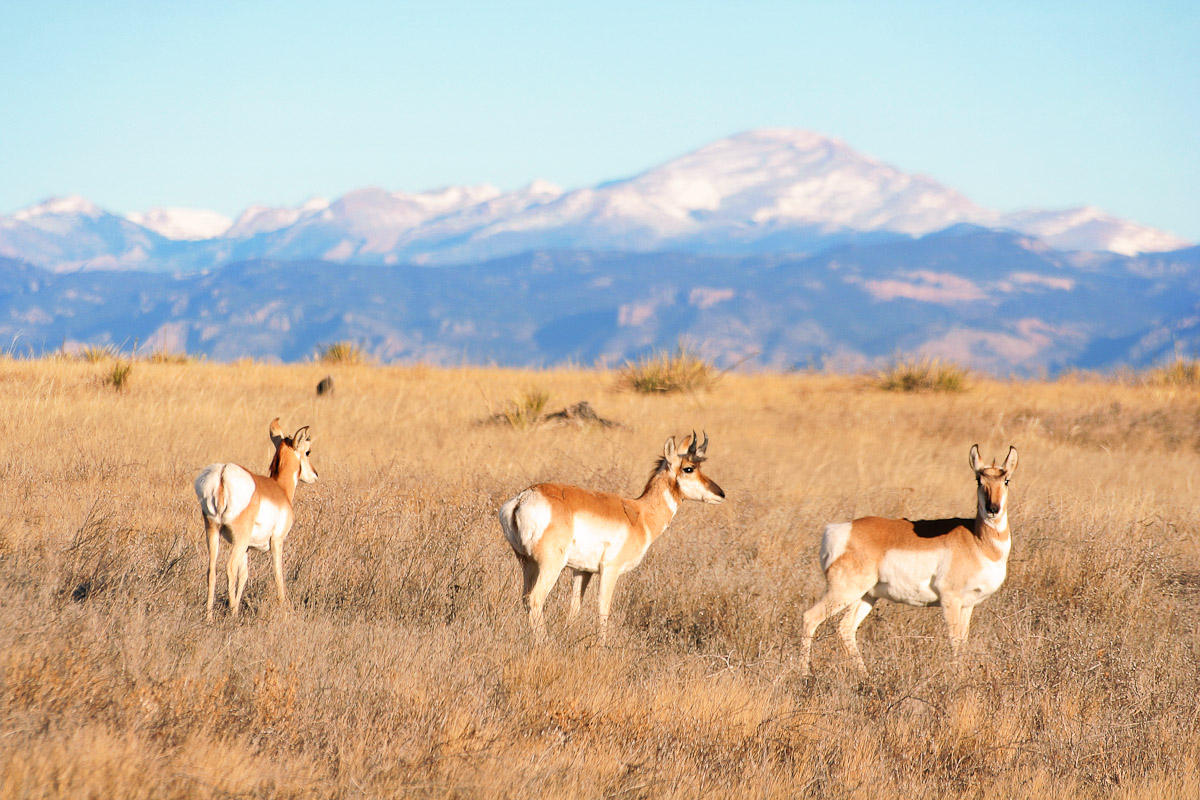
Pronghorn Gaze

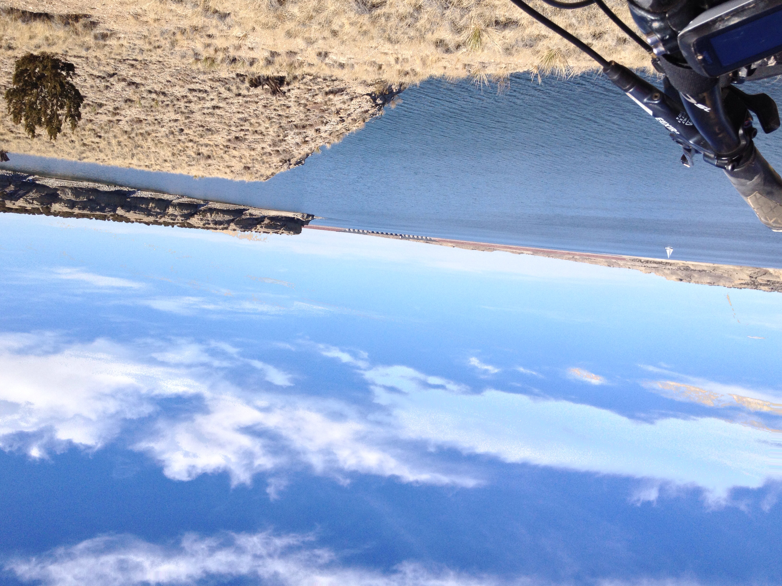
Driving through Colorado
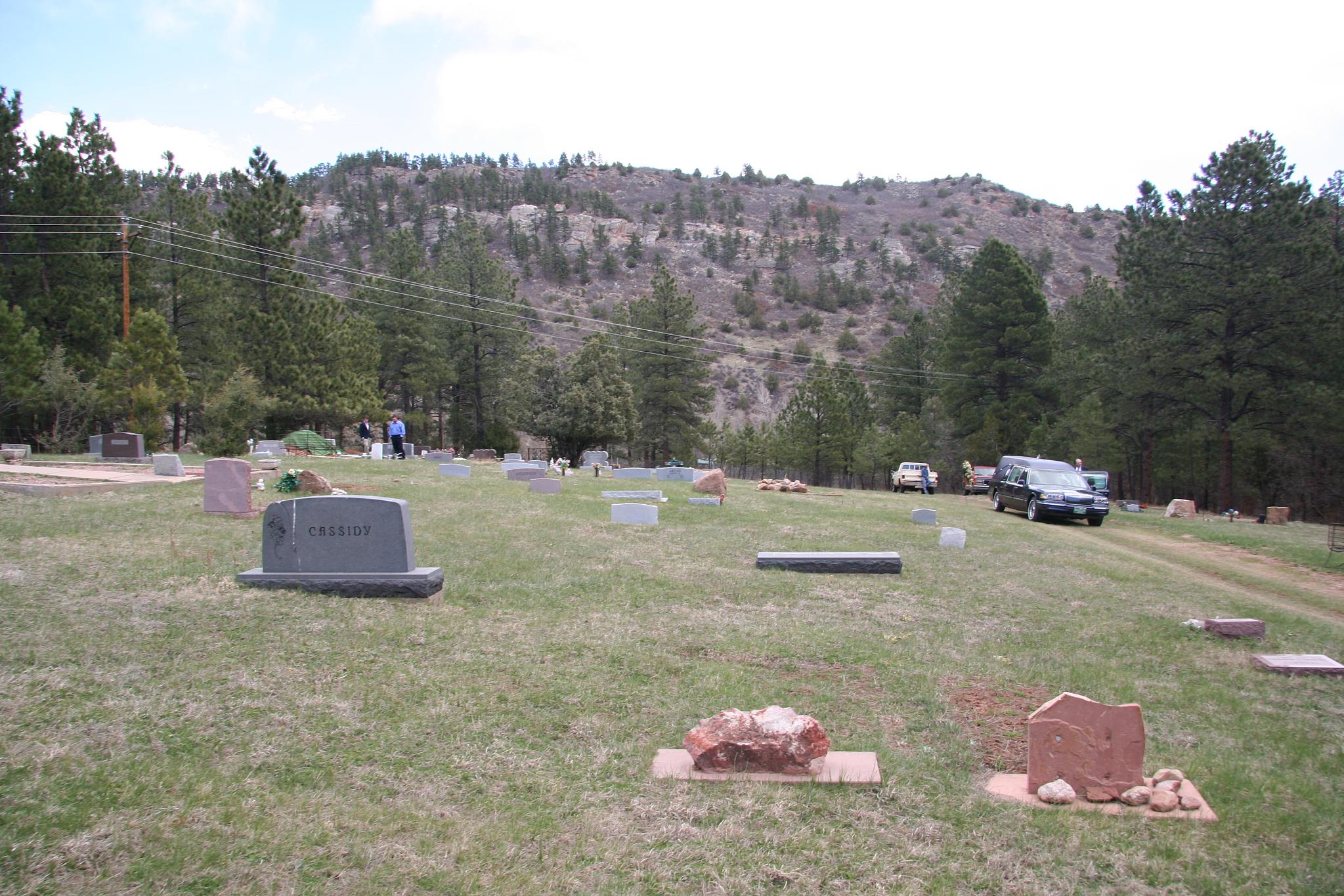
Beulah Cemetery
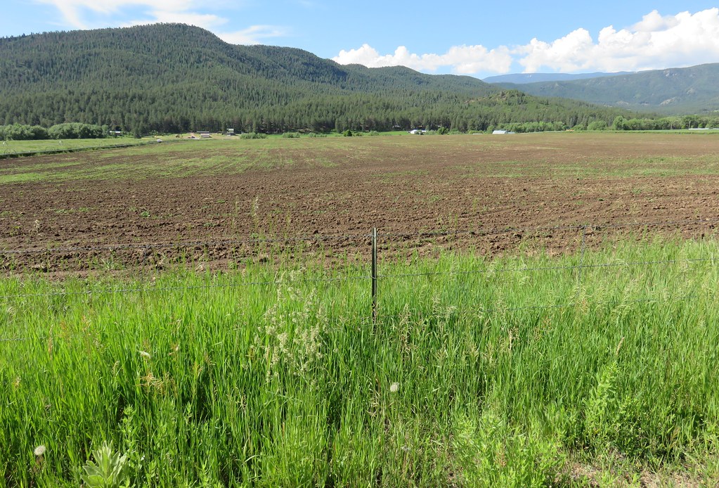
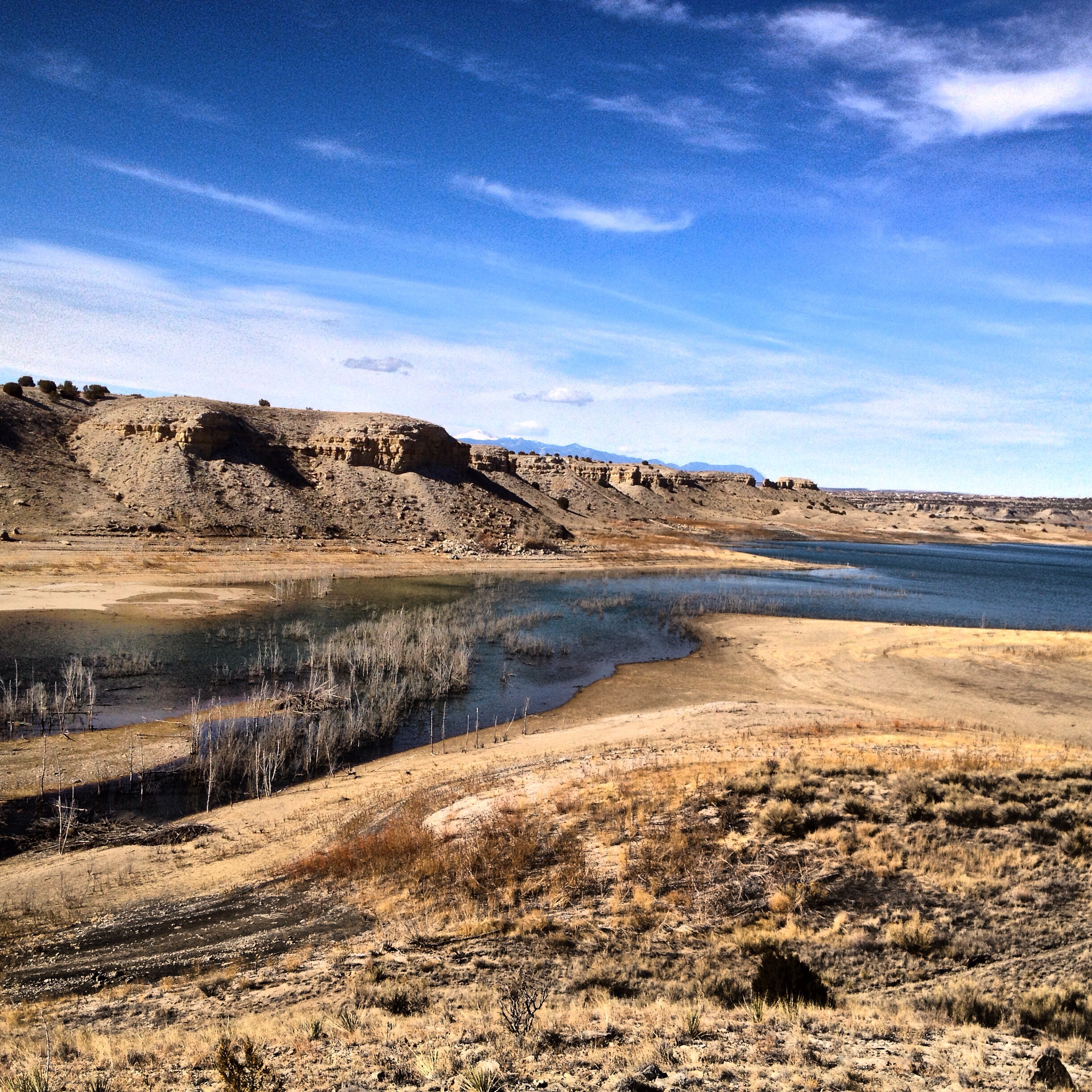
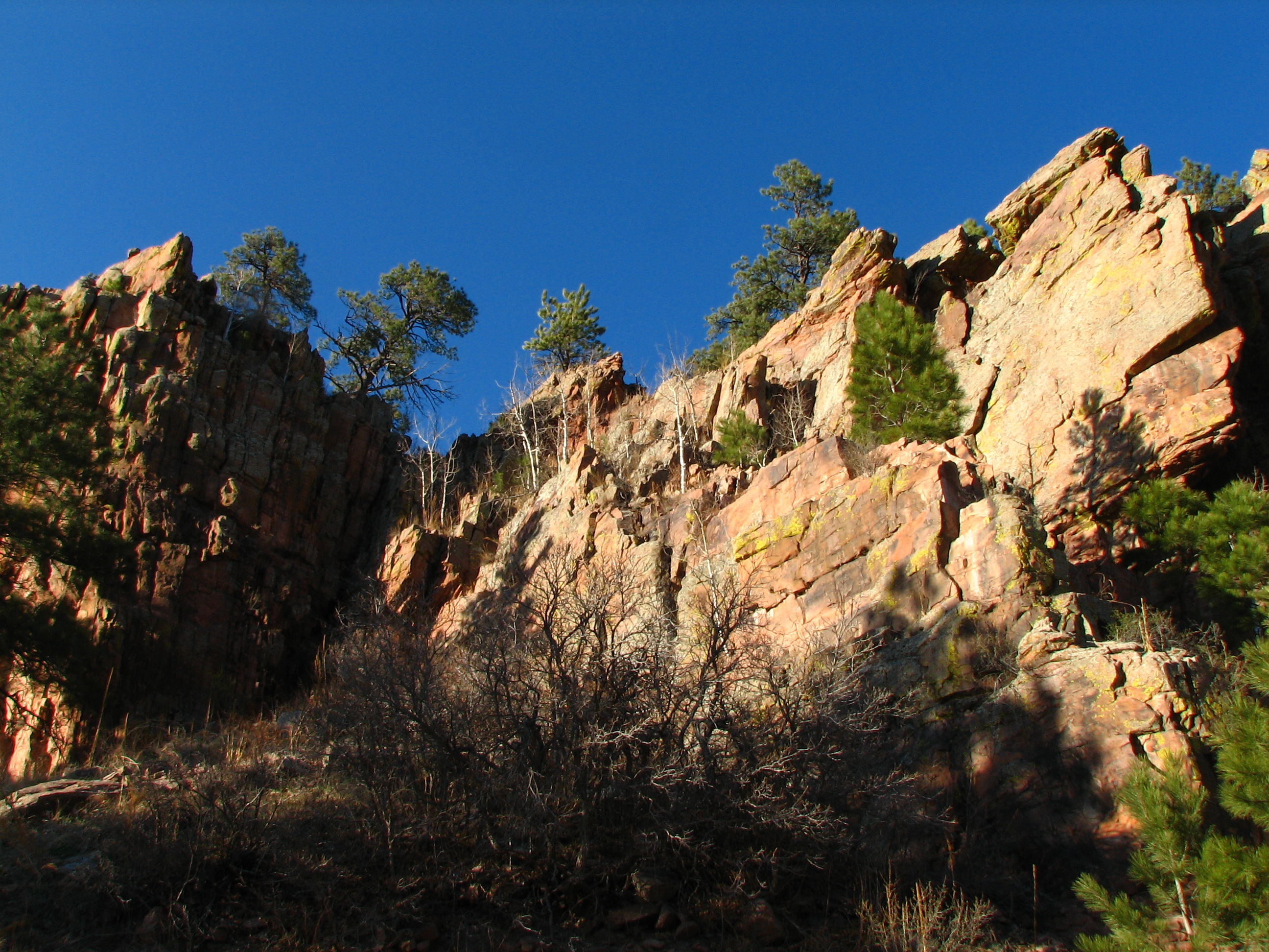
Beulah Valley (Pueblo County, Colorado)
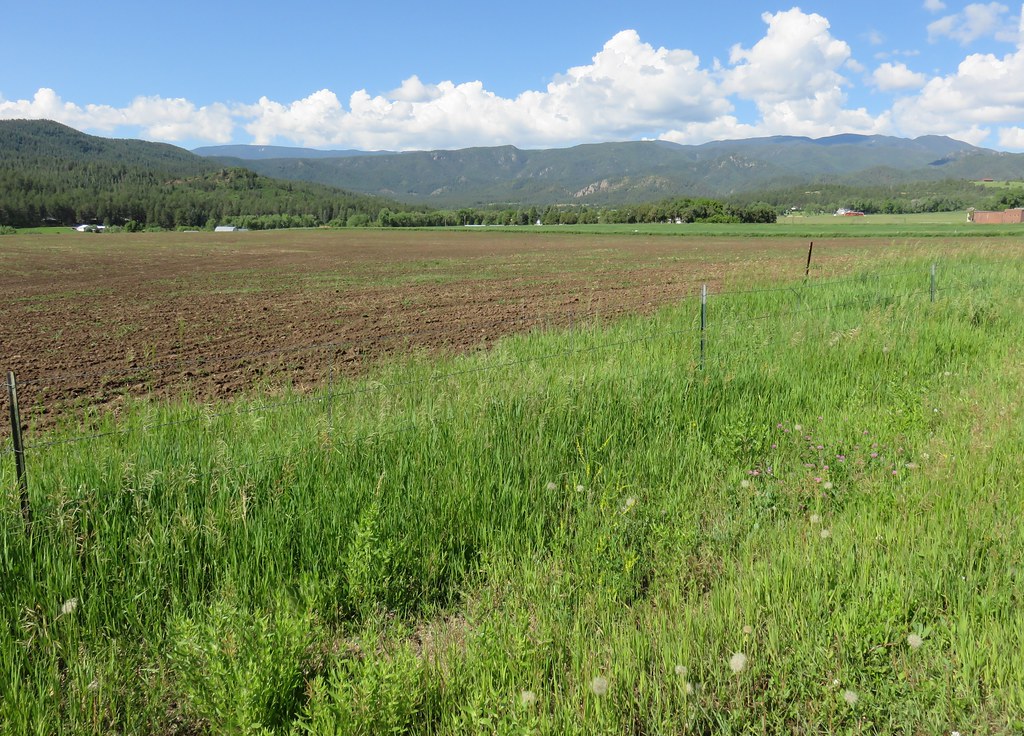
Beulah Valley (Pueblo County, Colorado)
Beulah Valley (Pueblo County, Colorado)

Interstate 25 Between Pueblo and Walsenburg, Colorado
Driving from Denver to the Great Sand Dunes in Colorado
Topographic Map of Farisita Boulevard, Farisita Blvd, Pueblo, CO, USA
Find elevation by address:

Places near Farisita Boulevard, Farisita Blvd, Pueblo, CO, USA:
4377 Rock Creek Rd
6702 S Waterbarrel Rd
S Waterbarrel Rd, Beulah, CO, USA
6430 S Burnt Mill Rd
Good Pasture Dr, Beulah, CO, USA
Siloam Road
8080 Co-78
7641 South Ln
6330 3r Rd S
8505 Co-78
Beulah Valley
6499 Canyon Ln
8613 Central Ave
5640 Northcreek Rd
5500 Northcreek Rd
Pine Dr, Beulah, CO, USA
6588 Greenhorn Mountain Dr
Beulah
Grand Avenue
8620 Ridge Rd
Recent Searches:
- Elevation of Congressional Dr, Stevensville, MD, USA
- Elevation of Bellview Rd, McLean, VA, USA
- Elevation of Stage Island Rd, Chatham, MA, USA
- Elevation of Shibuya Scramble Crossing, 21 Udagawacho, Shibuya City, Tokyo -, Japan
- Elevation of Jadagoniai, Kaunas District Municipality, Lithuania
- Elevation of Pagonija rock, Kranto 7-oji g. 8"N, Kaunas, Lithuania
- Elevation of Co Rd 87, Jamestown, CO, USA
- Elevation of Tenjo, Cundinamarca, Colombia
- Elevation of Côte-des-Neiges, Montreal, QC H4A 3J6, Canada
- Elevation of Bobcat Dr, Helena, MT, USA