Elevation of Blackberry Hollow Rd, Topton, NC, USA
Location: United States > North Carolina > Cherokee County > Valleytown > Topton >
Longitude: -83.692945
Latitude: 35.2010379
Elevation: 1041m / 3415feet
Barometric Pressure: 89KPa
Elevation Map:
Satellite Map:
Related Photos:

Bridge View of the Nantahala.

God's Country!

Nantahala Ranger House #3

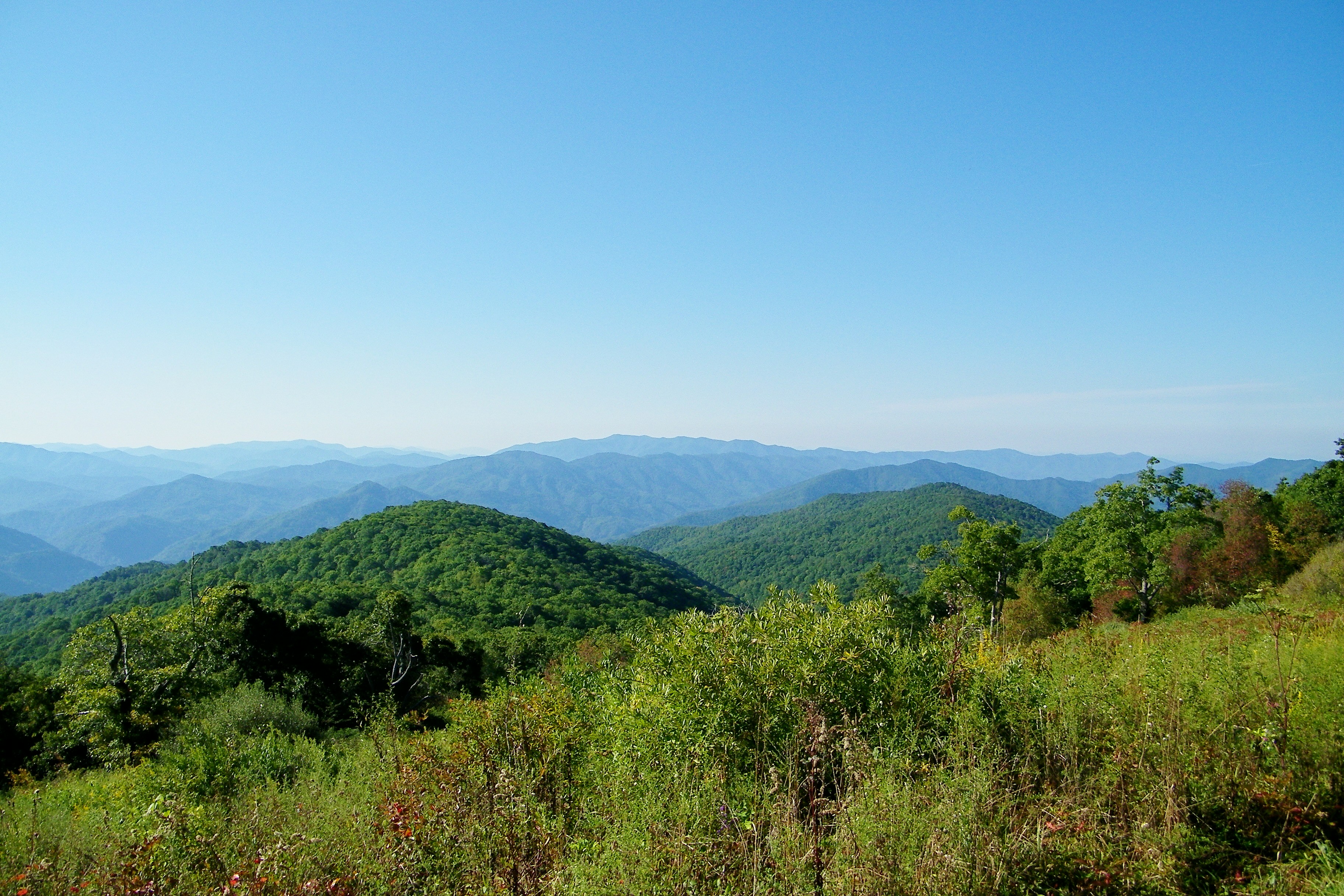
Summer Mountain View

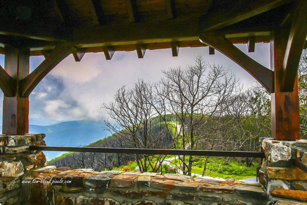
Observation Tower View

Tower Mountain View

Cloudy Mountain View
Wayah Bald View

Wayah Bald Mountain View

I made it back from Heaven

West View from Wesser Bald Observation Tower

Where the Paths Parted
Cheoah Bald

Wayah Bald Fire Tower - Franklin, North Carolina (HDR)

The new Wayah shelter

Appalachian Trail

Silers Bald

View from Wesser Bald

Silers Bald

Fontana Lake and Clingman's Dome from Wesser Bald

Swinging Lick gap

White Water

Cheroah Bald on AT

Mountain waves

Once the leaves are gone. . .

Smoky Mountains

Home on the Lake #2

A River's Twilight
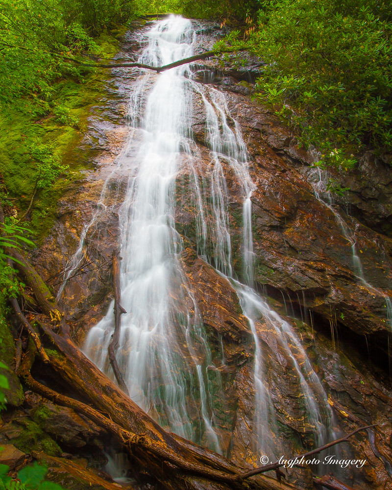
Rufus Morgan Falls

Sunlit Mountain Side..... for the moment.

Fall Lake Peninsula

Colorful Mountain Stream

Rolling Field Barn

Fantasy Falls
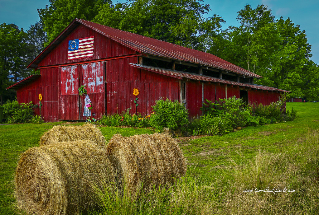
Baled Hay and Barn

Home on the Lake #3

Man and Squirrel on Tracks

Fall Mountain Home
Topographic Map of Blackberry Hollow Rd, Topton, NC, USA
Find elevation by address:

Places near Blackberry Hollow Rd, Topton, NC, USA:
171 Blackberry Hollow Rd
2345 Little Choga Rd
Old Lodge Road
Hickory Knob
120 Rainwater Point
855 Nantahala Shores Rd
137 Joe Holloway Rd
1522 Red Marble Rd
23820 Us-19
23797 Us-74
23797 Us-74
167 Kadie Ln
28 Kadie Ln
28 Kadie Ln
24181 Us-19
Topton
21804 Us-74
291 Franklin Rd
111 Franklin Rd
42 Bryson Branch Rd
Recent Searches:
- Elevation of Congressional Dr, Stevensville, MD, USA
- Elevation of Bellview Rd, McLean, VA, USA
- Elevation of Stage Island Rd, Chatham, MA, USA
- Elevation of Shibuya Scramble Crossing, 21 Udagawacho, Shibuya City, Tokyo -, Japan
- Elevation of Jadagoniai, Kaunas District Municipality, Lithuania
- Elevation of Pagonija rock, Kranto 7-oji g. 8"N, Kaunas, Lithuania
- Elevation of Co Rd 87, Jamestown, CO, USA
- Elevation of Tenjo, Cundinamarca, Colombia
- Elevation of Côte-des-Neiges, Montreal, QC H4A 3J6, Canada
- Elevation of Bobcat Dr, Helena, MT, USA