Elevation of US-74, Andrews, NC, USA
Location: United States > North Carolina > Cherokee County > Valleytown > Andrews >
Longitude: -83.735612
Latitude: 35.2283735
Elevation: 689m / 2260feet
Barometric Pressure: 93KPa
Elevation Map:
Satellite Map:
Related Photos:

Bridge View of the Nantahala.

Autumn, Nantahala River (5)

God's Country!

Nantahala Ranger House #3

I made it back from Heaven

West View from Wesser Bald Observation Tower

Where the Paths Parted
Cheoah Bald

Appalachian Trail

View from Wesser Bald

Fontana Lake and Clingman's Dome from Wesser Bald

Wesser Bald Lookout Tower

Southeast from Wesser Bald

Wesser Bald Lookout Tower

First View of W4C/WM-059 - London Bald

Fires Creek
Fires Creek

View from Tellico Gap

Good looking kid

Jump-Up Overlook

Wesser Bald Lookout Tower

A River's Twilight

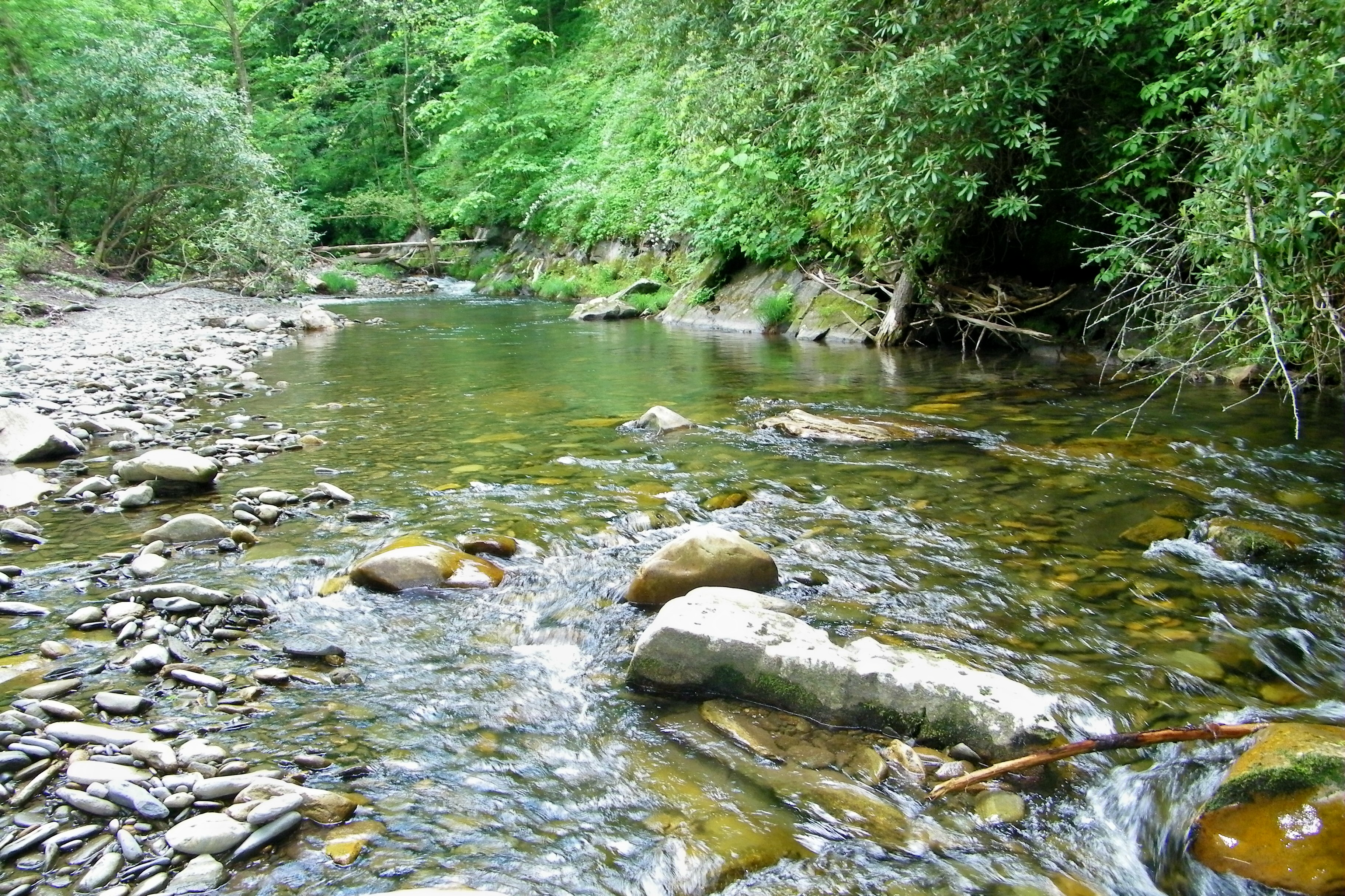
Colorful Mountain Stream

Rolling Field Barn

Fall Mountain Home

Fantasy Falls
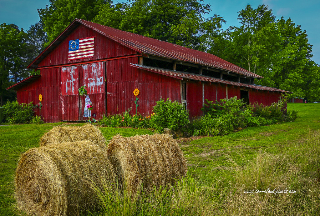
Baled Hay and Barn

Red Barn and Blue Sky

Red Brick Church

Scarecrow and Barn

Well, this is obviously going to be popular

Wesser Bald Observation Tower - Macon County, North Carolina (HDR)

White Water

Nantahala Gorge

Cheroah Bald on AT

Once the leaves are gone. . .

Home on the Lake #2

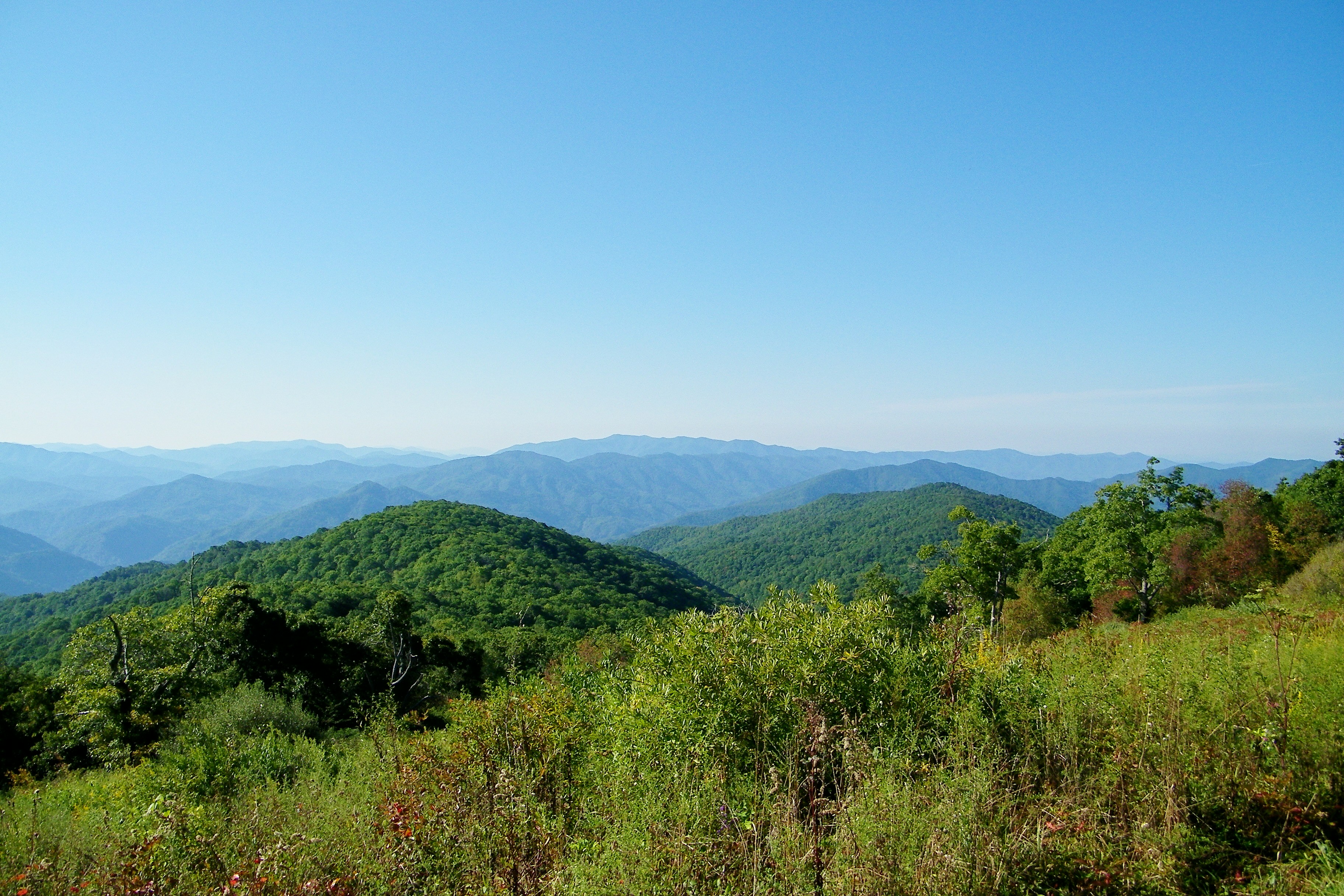
Smoky Mountains
Topographic Map of US-74, Andrews, NC, USA
Find elevation by address:

Places near US-74, Andrews, NC, USA:
42 Bryson Branch Rd
1522 Red Marble Rd
63 Driftwood Ln
137 Joe Holloway Rd
588 Phillip Dean Rd
23797 Us-74
23797 Us-74
Hickory Knob
78 Looking Glass Rd
285 Granny Squirrel Dr
23820 Us-19
167 Kadie Ln
28 Kadie Ln
99 Pine Ridge Rd
28 Kadie Ln
24181 Us-19
Topton
120 Falls Rd
261 Jutts Creek Rd
36 Jutts Creek Rd
Recent Searches:
- Elevation of Elwyn Dr, Roanoke Rapids, NC, USA
- Elevation of Congressional Dr, Stevensville, MD, USA
- Elevation of Bellview Rd, McLean, VA, USA
- Elevation of Stage Island Rd, Chatham, MA, USA
- Elevation of Shibuya Scramble Crossing, 21 Udagawacho, Shibuya City, Tokyo -, Japan
- Elevation of Jadagoniai, Kaunas District Municipality, Lithuania
- Elevation of Pagonija rock, Kranto 7-oji g. 8"N, Kaunas, Lithuania
- Elevation of Co Rd 87, Jamestown, CO, USA
- Elevation of Tenjo, Cundinamarca, Colombia
- Elevation of Côte-des-Neiges, Montreal, QC H4A 3J6, Canada