Elevation of Black Tern Dr, Yulee, FL, USA

Location: United States > Florida > Nassau County > Yulee >

Longitude: -81.650431

Latitude: 30.6043977

Elevation: 4m / 13feet

Barometric Pressure: 101KPa

Elevation Map:

elevation map of Black Tern Dr, Yulee, FL, USA
Satellite Map:

Satellite map of Black Tern Dr, Yulee, FL, USA

Related Photos:

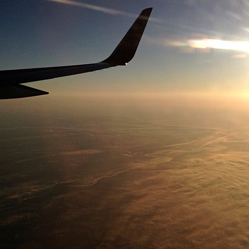
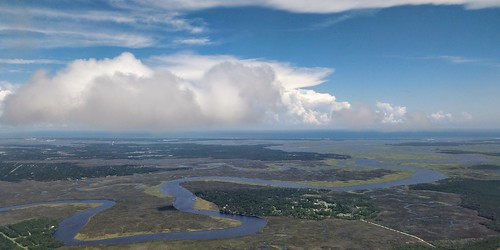
travel plane square florida aerialview squareformat iphoneography instagramapp uploaded:by=instagram p36512012
117/365+1 Flying High #plane #aerialview
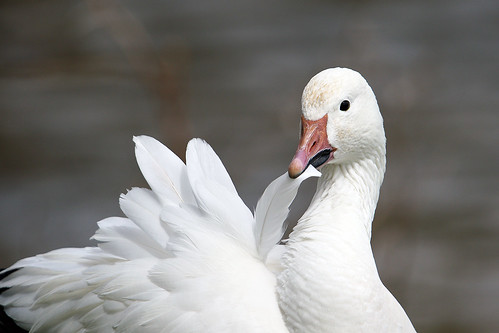
white bird water birds animal bill pond focus florida bokeh outdoor feathers preening goose depthoffield shore jacksonville snowgoose wildlifearea chencaerulescens flagged aquaticbird raresighting duvalcounty ebird raduns northjacksonville purduepond perduepond steveraduns
Snow Goose (Chen caerulescens)
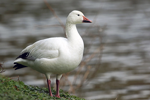
portrait white lake water pond focus florida bokeh goose depthoffield snowgoose wildlifearea chencaerulescens flagged raresighting duvalcounty ebird raduns purduepond perduepond steveraduns
Snow Goose (Chen caerulescens)
abandoned geotagged motel americana fl roadside 2010 souveniers geo:lat=30735911 geo:lon=81687889
DON'T FORGET THE SOUVENIRS
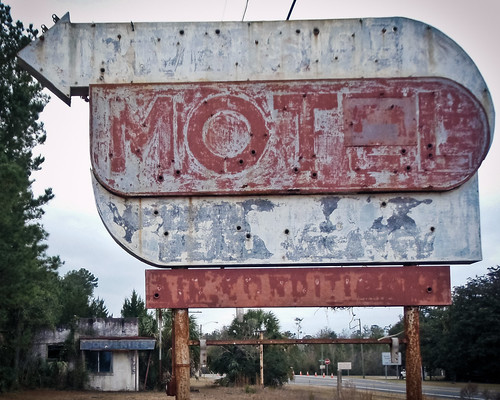
abandoned sign geotagged motel palmtree fl roadside 2010 geo:lat=30735911 geo:lon=81687889
BORDER MOTEL
hyattplace hotel jacksonvilleairport jax jacksonville florida viewfromroom viewfromhotelroom
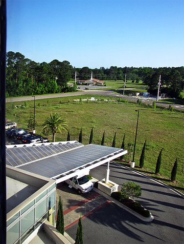
photo - View from Hotel Room, Hyatt Place Jacksonville Airport
georgia stmarys yulee florida unitedstates
View from St. Marys Steam Express
JAX Art by Joe Segal
square squareformat normal iphoneography instagramapp uploaded:by=instagram foursquare:venue=4e4d3d38ae60bb50126ec8a4
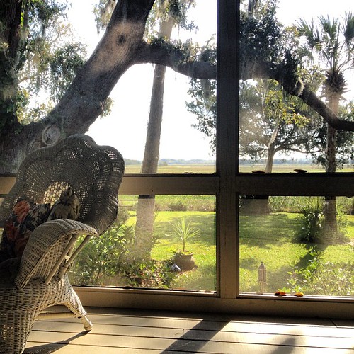
Screened in porch, morning coffee and a view.
square squareformat normal iphoneography instagramapp uploaded:by=instagram foursquare:venue=4e71d3d552b16b249187cea8
View from seat 5B.
geotagged geolat30616959357143 geolon815154319047618
One of our stops
geotagged geolat30616939 geolon815154571698114
The S-XP
geotagged geolat307284175 geolon81684565
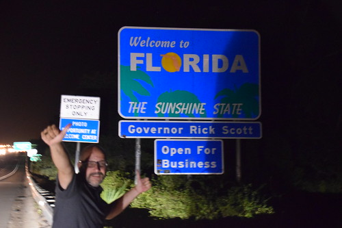
Entering Florida
geotagged geolat307280313333347 geolon816842665555566
Entering Florida
geotagged geolat3072702875 geolon8168350175
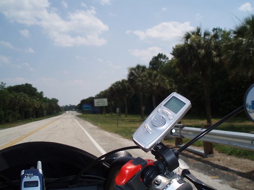
Our last state--now to bike the length of FL--Tropical storm on the way...
geotagged geolat307274205 geolon816838065
Our 4th state in as many days
geotagged geolat306238891578937 geolon815394097894694
The guys [trio] again
geotagged geolat306237735 geolon81538961
...more
2018-08-29_10-51-42
florida yulee 1s us unitedstates landscape jpeg sealevel interstate95 flashoff 14s iso6400 f48 northlatitude focallength46mm didnotfire 18270mmf3563 gpsspeed softwarever100 orientationupperleft nikoncorporationnikond5300 4496x3000x24b exifversion23 all allsyncflickr 1sl6 travel t201605 l6 2016
20160711 003100 1SL6
fcrd firstcoast train railway railroad gp7 emd firstcoastrailroad rlix437
Fernandina to Yulee
bridge train gw fernandinabeach shortline yulee geneseewyoming fcrd yuleefl firstcoastrailroad
Railfan's dream
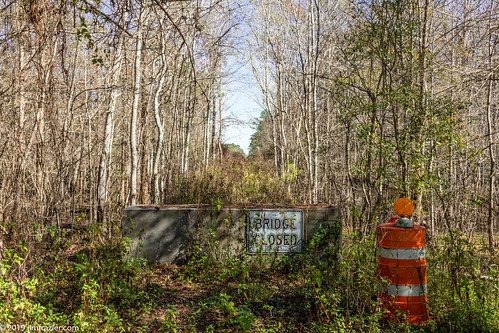
barrel blocked barrier block barricade 2019 201801floridatrip plants signs overgrown forest landscape concrete flora scenery traffic florida pov january scenic structures bridges sunny bluesky roadtrip symmetry depthoffield swamp infrastructure symmetrical fl marsh perpendicular obstacle centered blocking q3 callahan crossings spans linedup headon centralperspective bridgeclosed deepdepthoffield jimfraziercom spellswamp trees winter vacation water warning woodland woods transportation wetland woodlot verticals undergrowth verticallines orange lifefindsaway f10
Near Callahan, Florida
zeesstof vacation photoassignment georgia stmarys
Florida from Georgia
Crossing the Swing Bridge
water bicycle vintage river georgia lomo lomography dock creative transportation indie stmarys saltlife
Salt Life
florida jacksonville shoppingcenter petsmart dollartree citycenterblvd
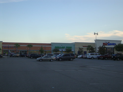
River City Marketplace stores
2013 architecture spring cloudy clouds landscape morning outdoor river sign signs sky skyline storm travel water florida day grouped favorited
2013.04.04.08 Redneck Yacht Club
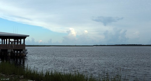
2013 architecture spring cloudy landscape morning outdoor river sign signs sky skyline storm travel water florida day grouped
2013.04.04.09 Redneck Yacht Club
usa reflection ir pentax infrared 2008 istds zoomlens stmarysriver dsir da1224 istdsir jrpq irwithmodifiedcamera
Steel Truss Bridge (IR)
usa florida jacksonville iphone
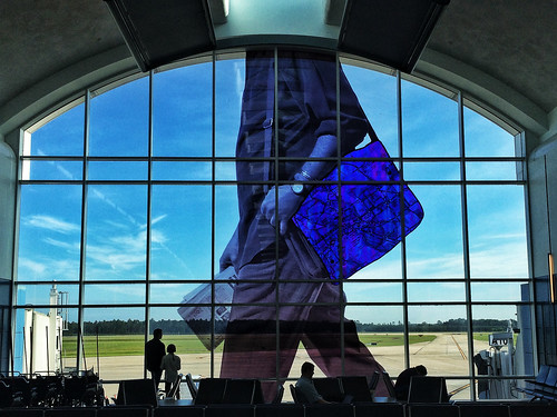
Jacksonville Airport
landscape airport unitedstates florida jacksonville
Jacksonville Airport
square squareformat hefe iphoneography instagramapp uploaded:by=instagram
#outandabout #outdoors #outandabout_Georgia #SaintMarys #SaintMarysGA #sunset #sundown #waterfront #nature #river #park #Georgia #Southeast
trees flower tree broken beer leaves trash forest out leaf woods litter couch ugly worn 70s cans outdated dated ratty raddy couchinthelandscape
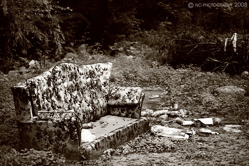
When Bad Couches Go Worse
georgia stmarys train railroad yulee florida unitedstates
Paddlers wave to St. Marys Steam Express
gps gpsmap76csx map googleearth kayaking florida yulee nassaucounty loftoncreek
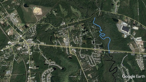
Lofton Creek Paddling Map - Oct. 27, 2018
square squareformat mayfair iphoneography instagramapp uploaded:by=instagram
Bye, Florida! We had fun.
ATL Airport