Elevation of FL-, Fernandina Beach, FL, USA
Location: United States > Florida > Nassau County > Fernandina Beach >
Longitude: -81.653902
Latitude: 30.617446
Elevation: 5m / 16feet
Barometric Pressure: 101KPa
Elevation Map:
Satellite Map:
Related Photos:

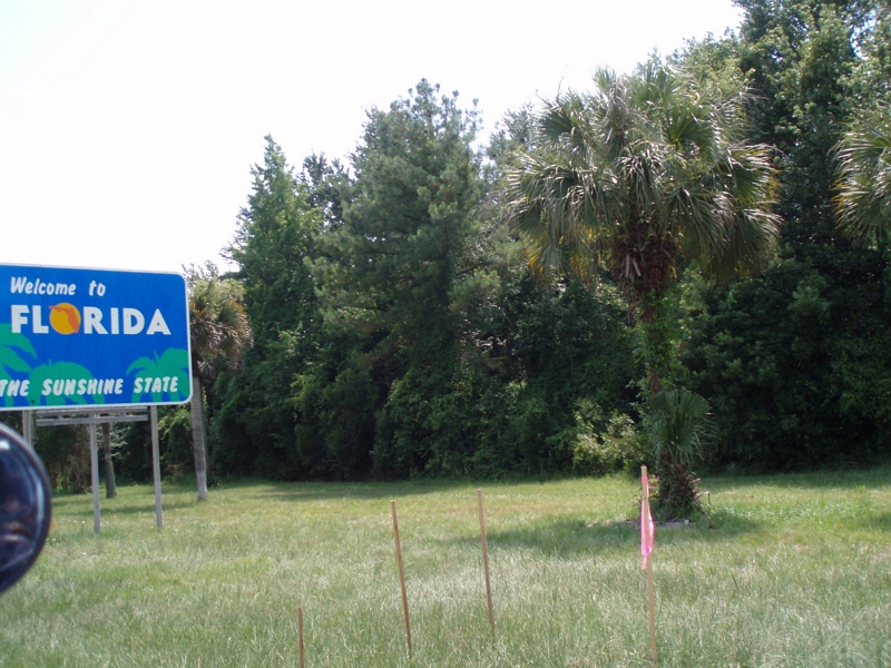
Crossing Into Florida II
DON'T FORGET THE SOUVENIRS

View from St. Marys Steam Express
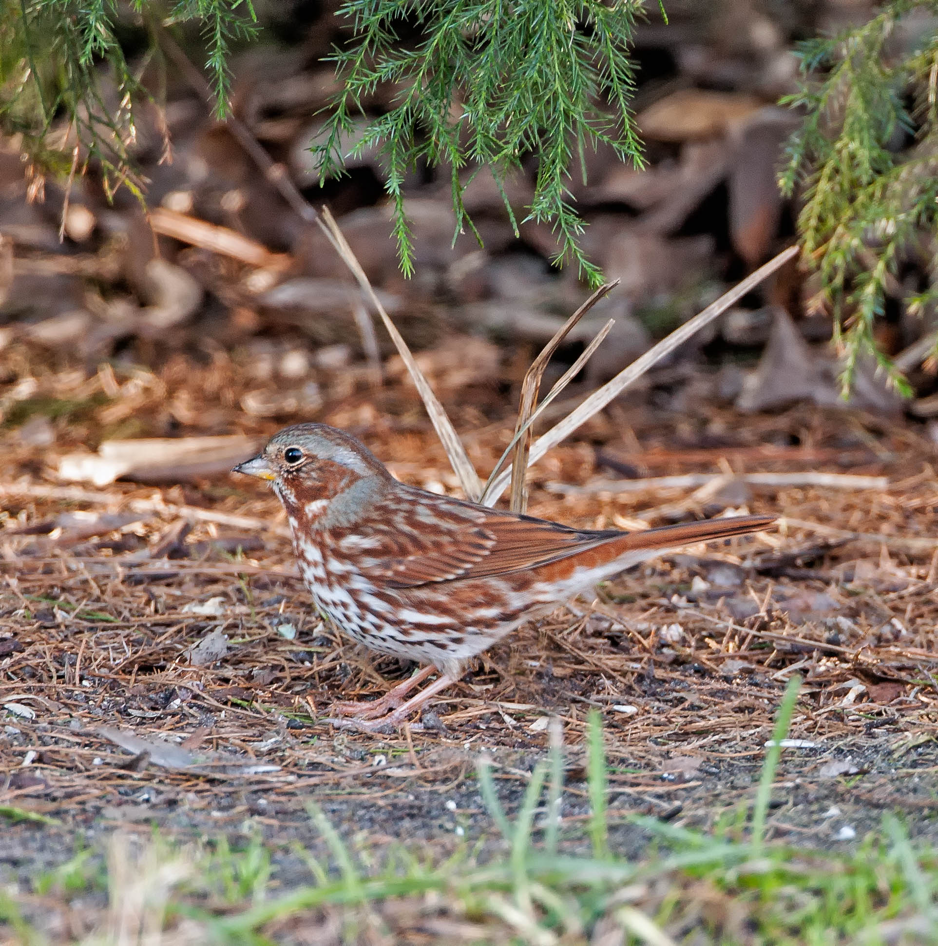
Fox Sparrow (Red)
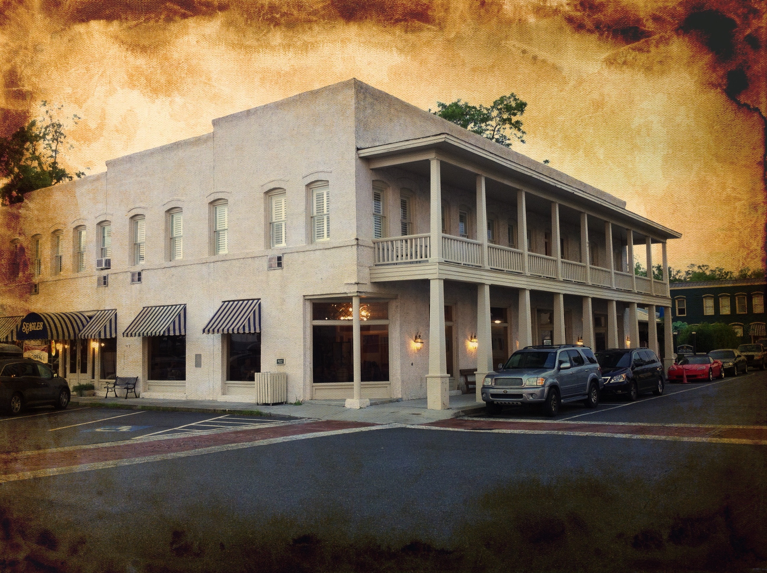
River View Hotel
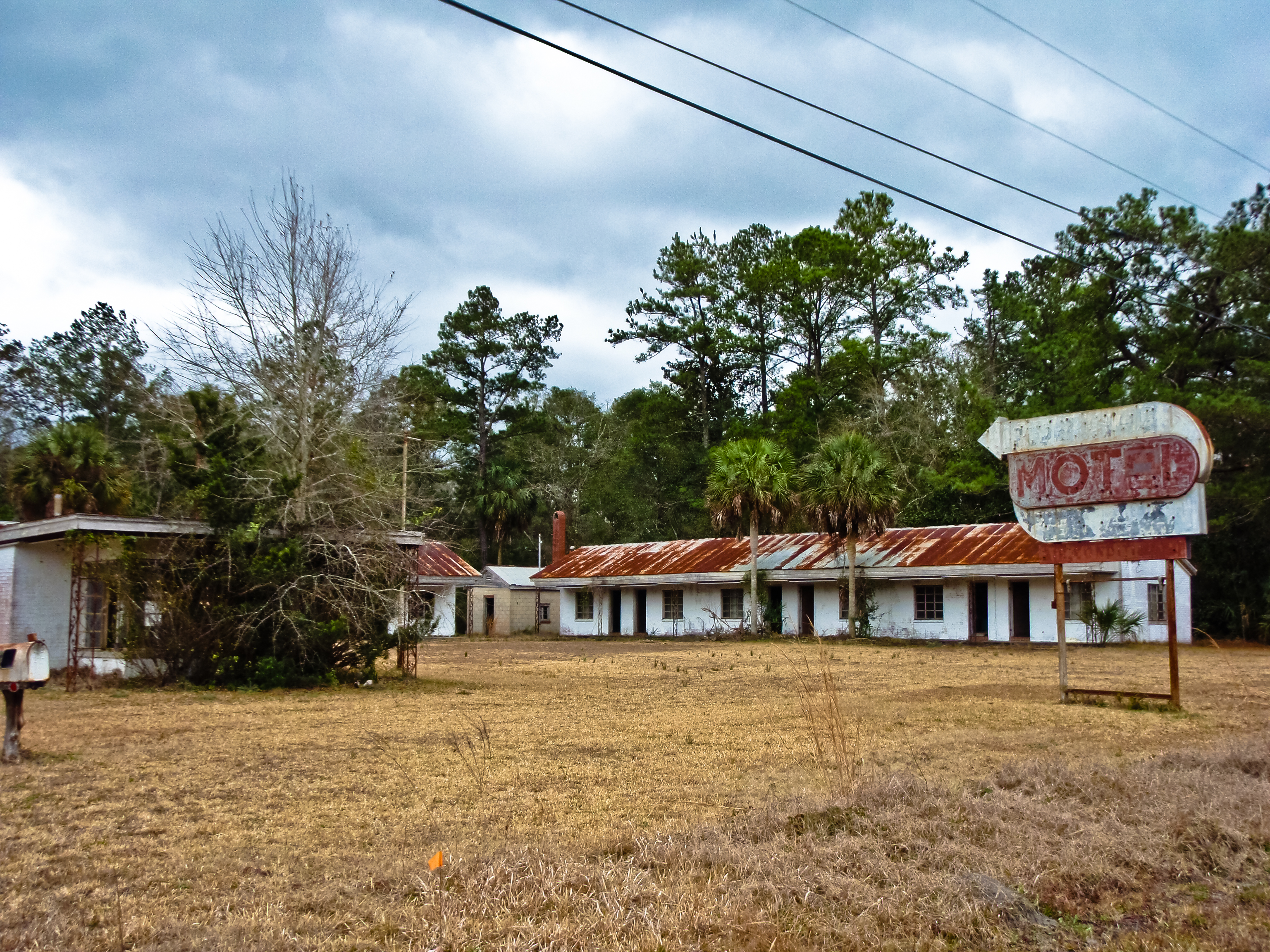
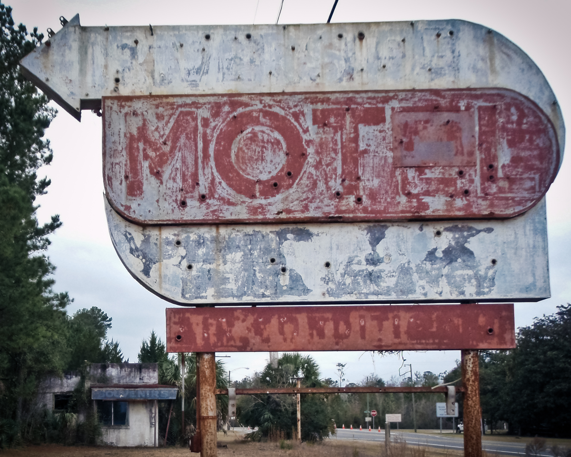
BORDER MOTEL
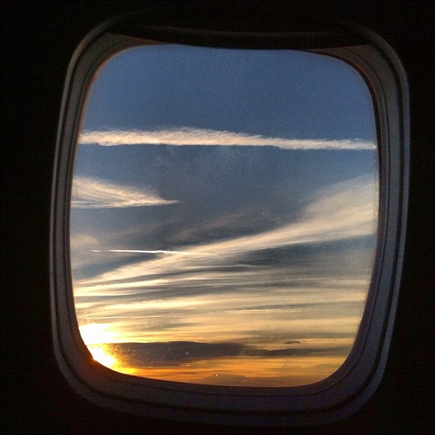
View from seat 5B.
JAX Art by Joe Segal
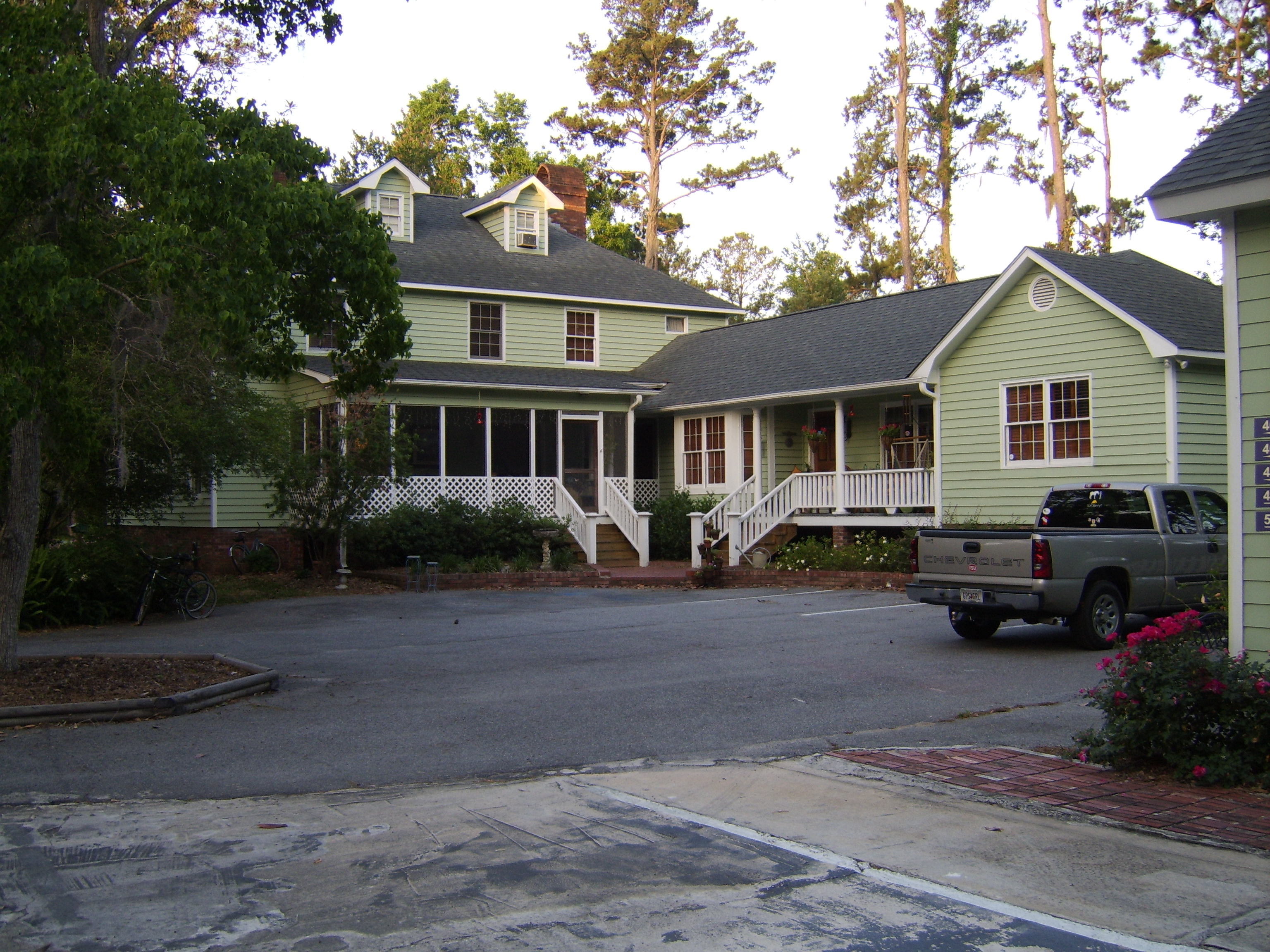
Emma's Bed and Breakfast, St. Marys, GA

Entering Florida
Our 4th state in as many days
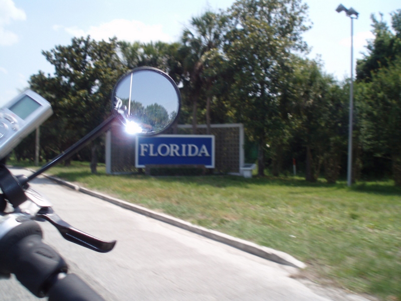
Our last state--now to bike the length of FL--Tropical storm on the way...

Fox Sparrow (Red)
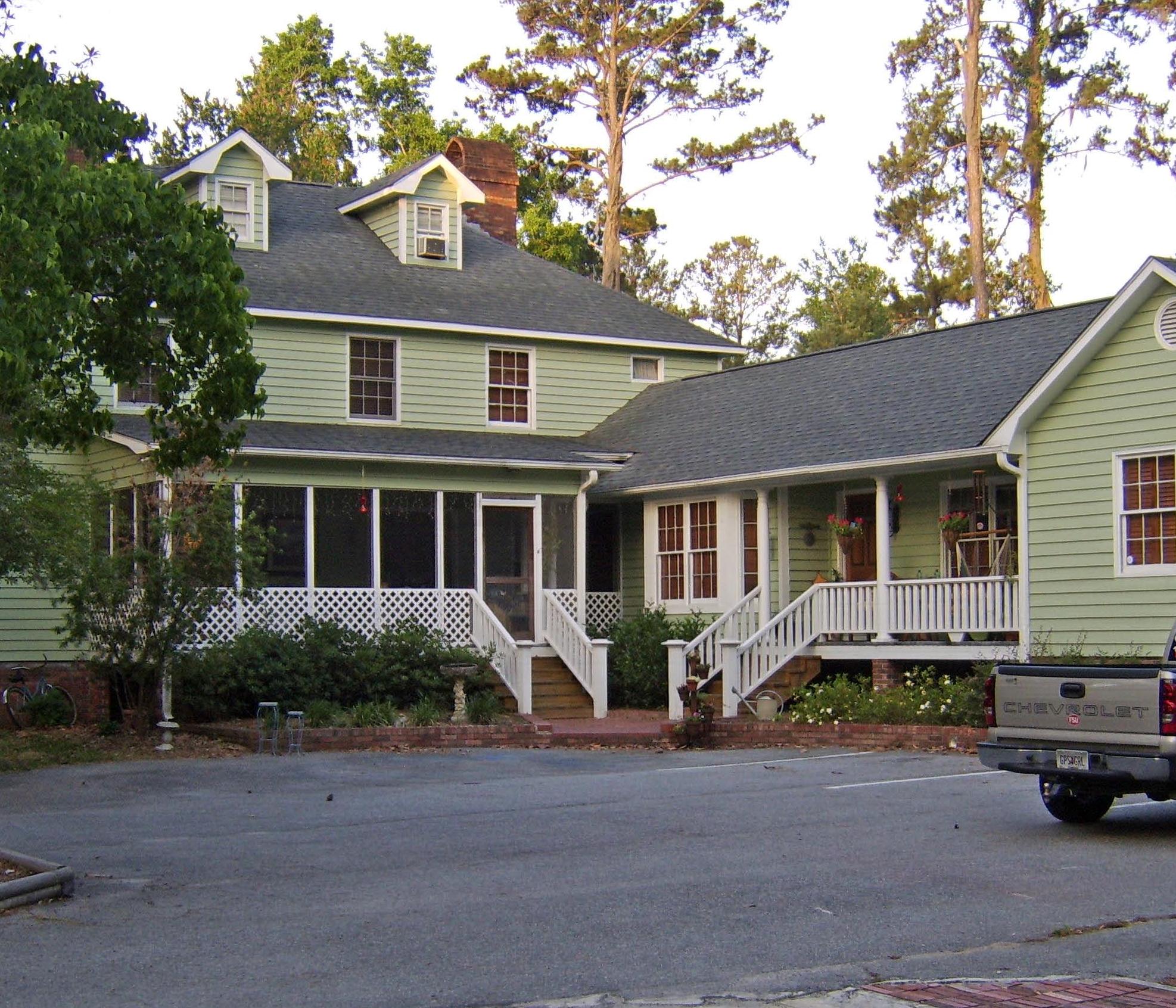
Emma's Bed and Breakfast, St. Marys, GA
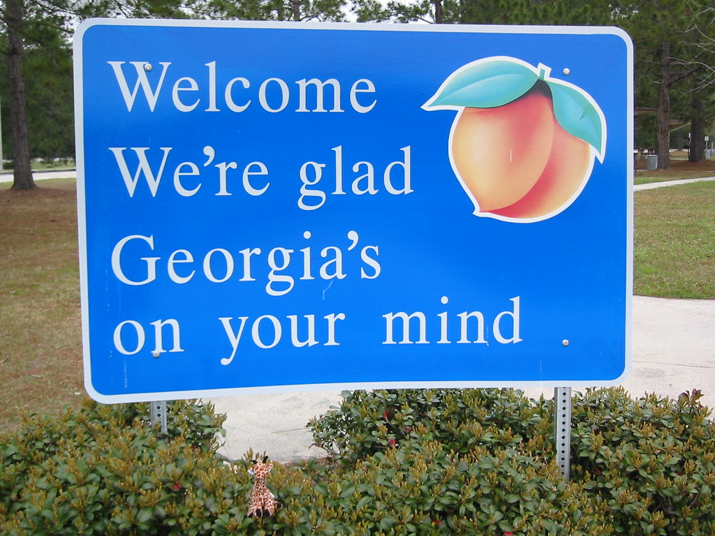
We're Glad Georgia's On Your Mind

Entering Florida

Screened in porch, morning coffee and a view.
The guys [trio] again
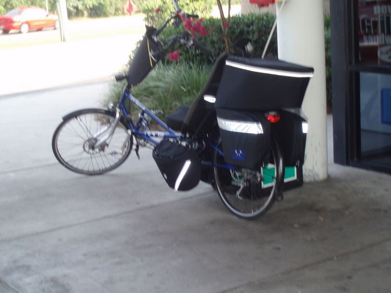
The S-XP
...more
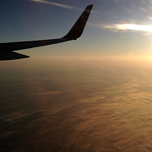
117/365+1 Flying High #plane #aerialview

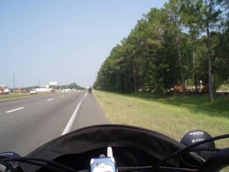
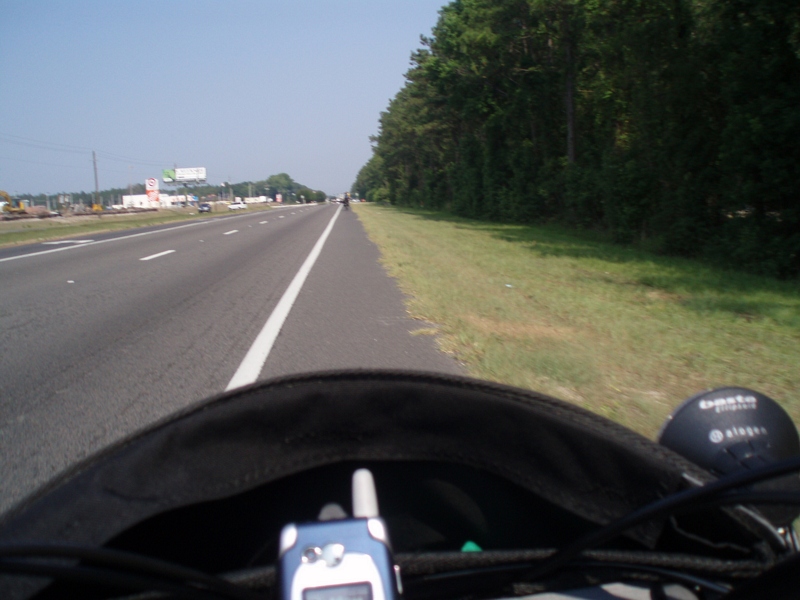
Wide open road

Steel Truss Bridge (IR)
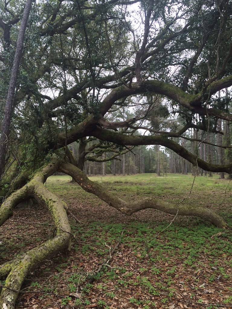
A few forest scenes.
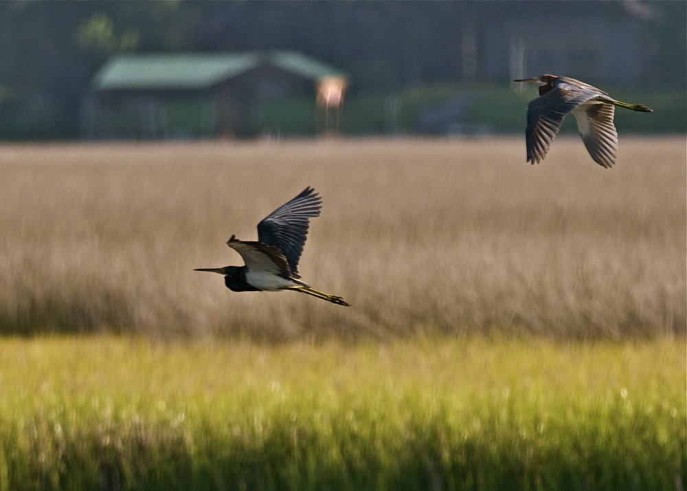
tri-colored herons
Salt Life
#outandabout #outdoors #outandabout_Georgia #SaintMarys #SaintMarysGA #sunset #sundown #waterfront #nature #river #park #Georgia #Southeast
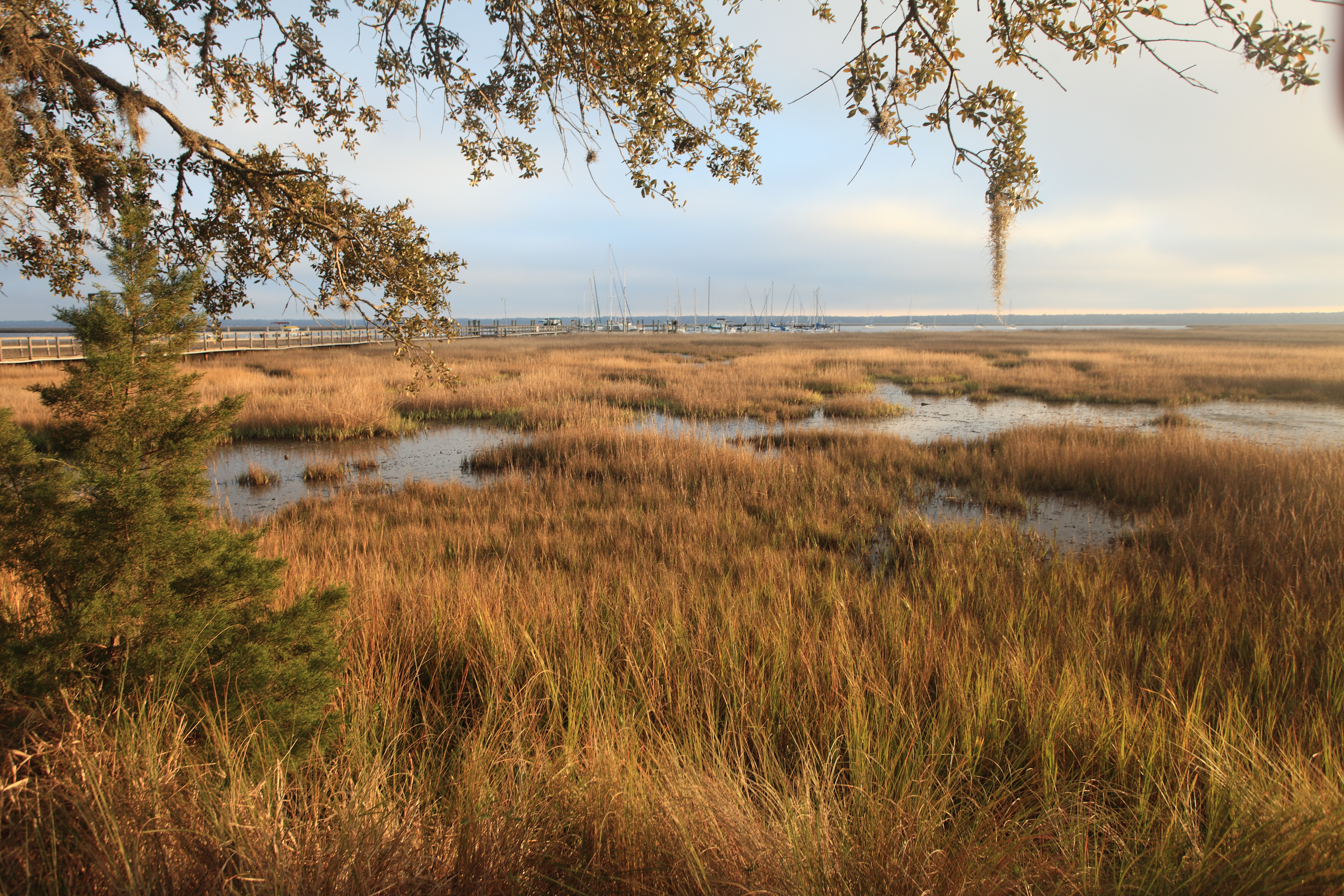
Marsh Near St. Marys
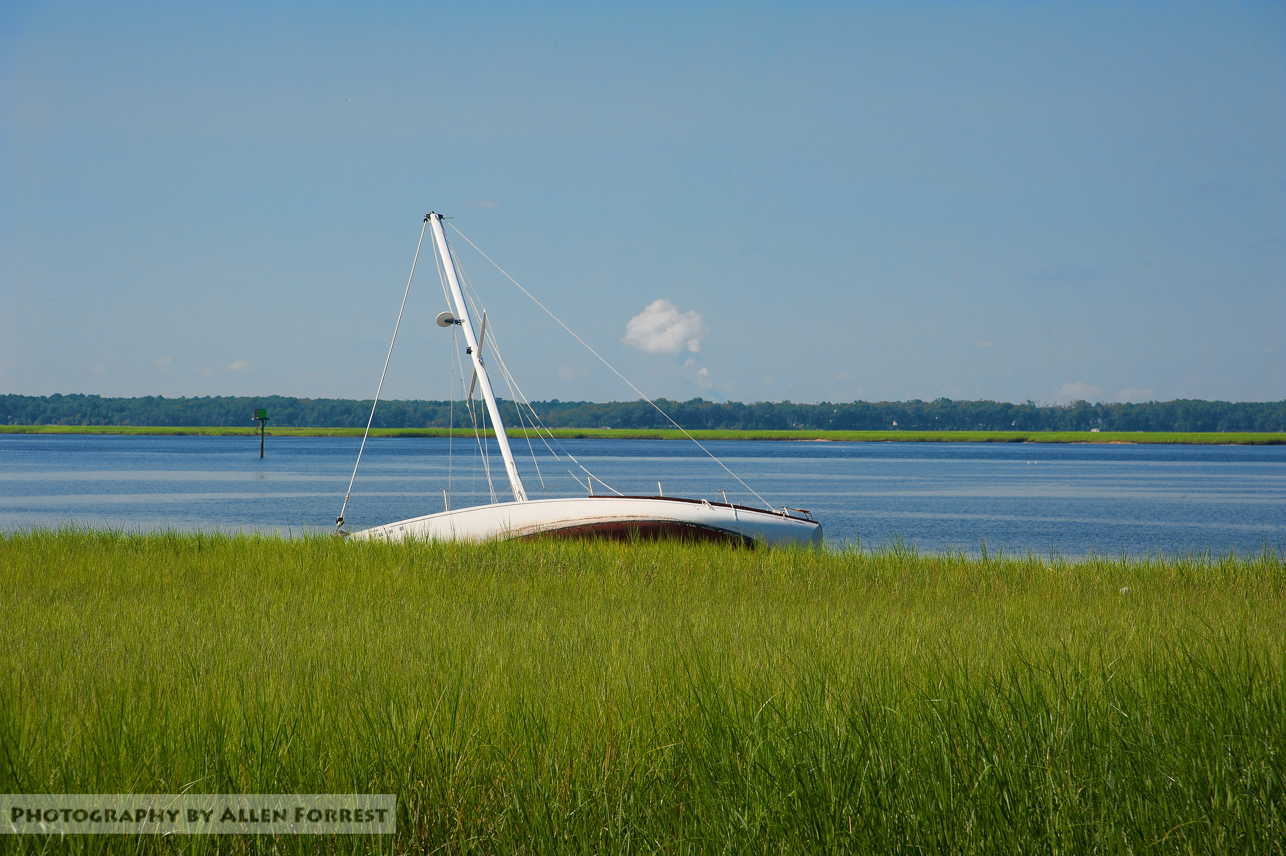
Saint Marys, Georgia

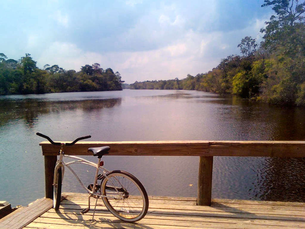
St Marys River
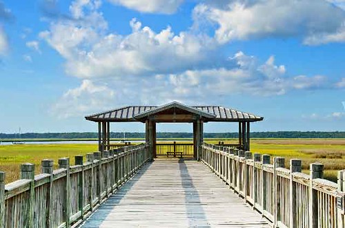
Boardwalk at St. Mary

Sunset at the Florida state line! #miamibound #roadtrip
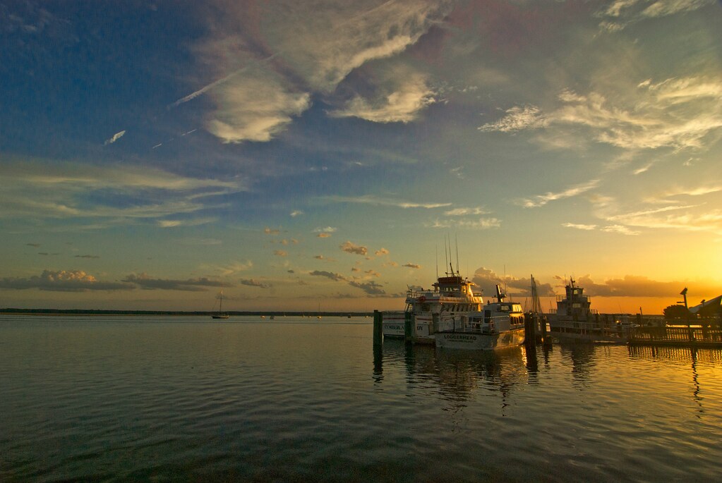
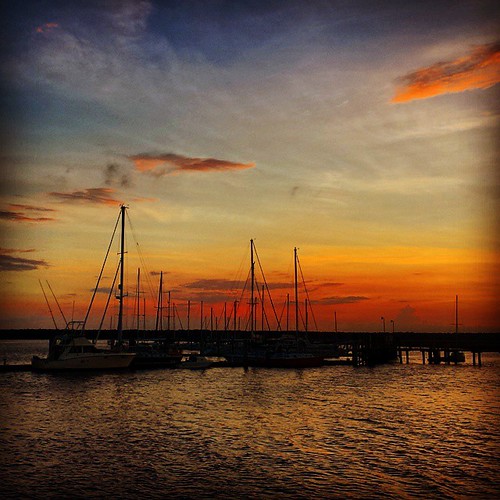
Tramonto a St. Marys (la seconda città più antica degli USA)
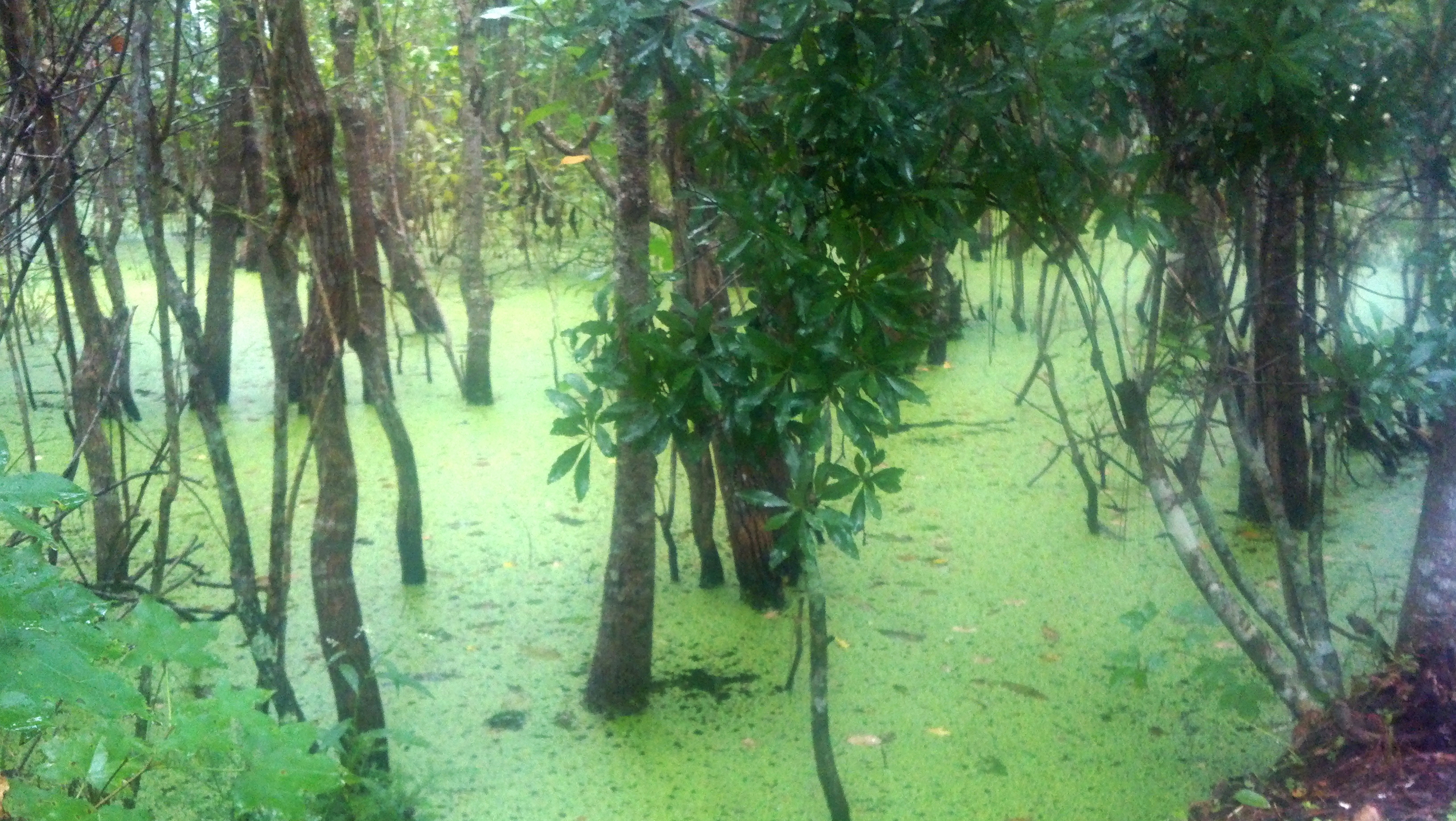
The Great Elsinore Swamp
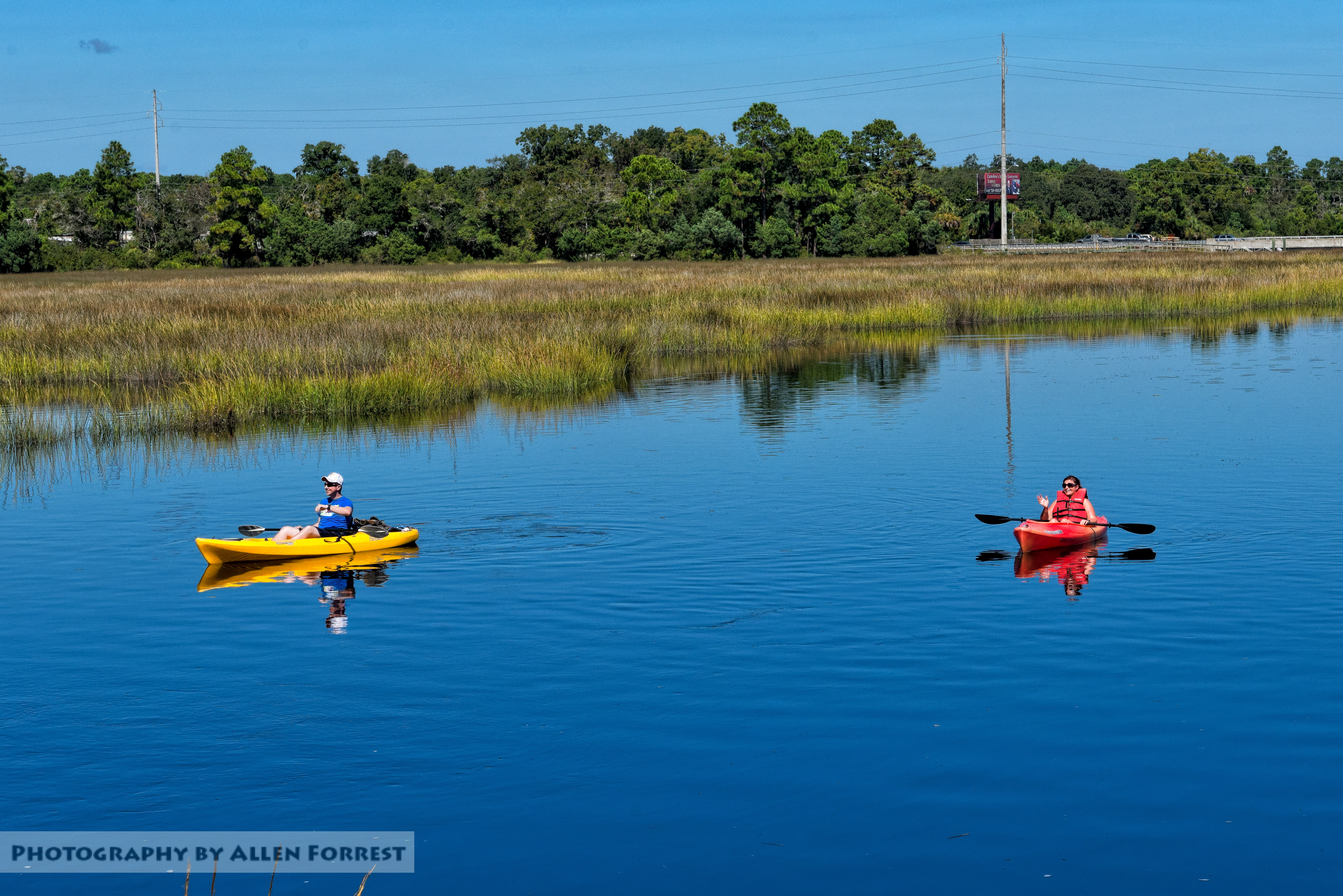
Paddlers wave to St. Marys Steam Express

BWI to JAX Tropical Storm Beryl

Jacksonville Airport
Topographic Map of FL-, Fernandina Beach, FL, USA
Find elevation by address:

Places near FL-, Fernandina Beach, FL, USA:
79620 Plummer's Creek Dr
79170 Black Tern Dr
231 Daydream Ave
76071 Harley Ct
Morning Glen Court
75035 Morning Glen Ct
Nassau Em - Emergency Operations Center
76001 Bills Trail
75122 Fern Creek Dr
76165 Dove Rd
75331 Edwards Rd
76280 Dove Rd
86394 Cartesian Pointe Dr
77032 Hardwood Ct
William Burgess Boulevard
77204 Lumber Creek Blvd
77249 Lumber Creek Blvd
Nassau Crossing Townhomes By D.r. Horton
US-17, Yulee, FL, USA
Yulee
Recent Searches:
- Elevation of Warwick, RI, USA
- Elevation of Fern Rd, Whitmore, CA, USA
- Elevation of 62 Abbey St, Marshfield, MA, USA
- Elevation of Fernwood, Bradenton, FL, USA
- Elevation of Felindre, Swansea SA5 7LU, UK
- Elevation of Leyte Industrial Development Estate, Isabel, Leyte, Philippines
- Elevation of W Granada St, Tampa, FL, USA
- Elevation of Pykes Down, Ivybridge PL21 0BY, UK
- Elevation of Jalan Senandin, Lutong, Miri, Sarawak, Malaysia
- Elevation of Bilohirs'k