Elevation of Bison Peak, Colorado, USA
Location: United States > Colorado > Park County > Lake George >
Longitude: -105.49777
Latitude: 39.2386111
Elevation: 3595m / 11795feet
Barometric Pressure: 65KPa
Elevation Map:
Satellite Map:
Related Photos:
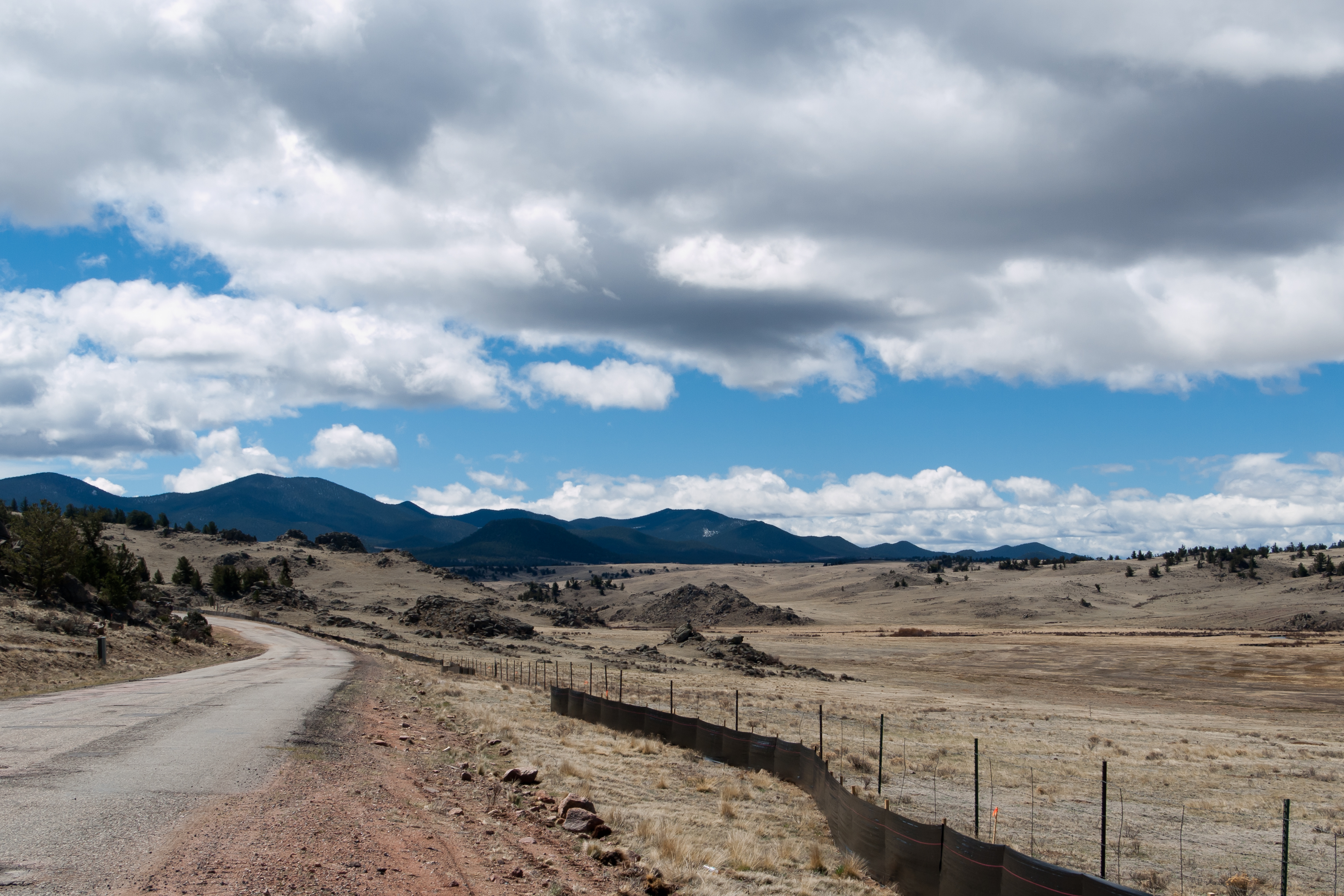
Bad Road, Good View
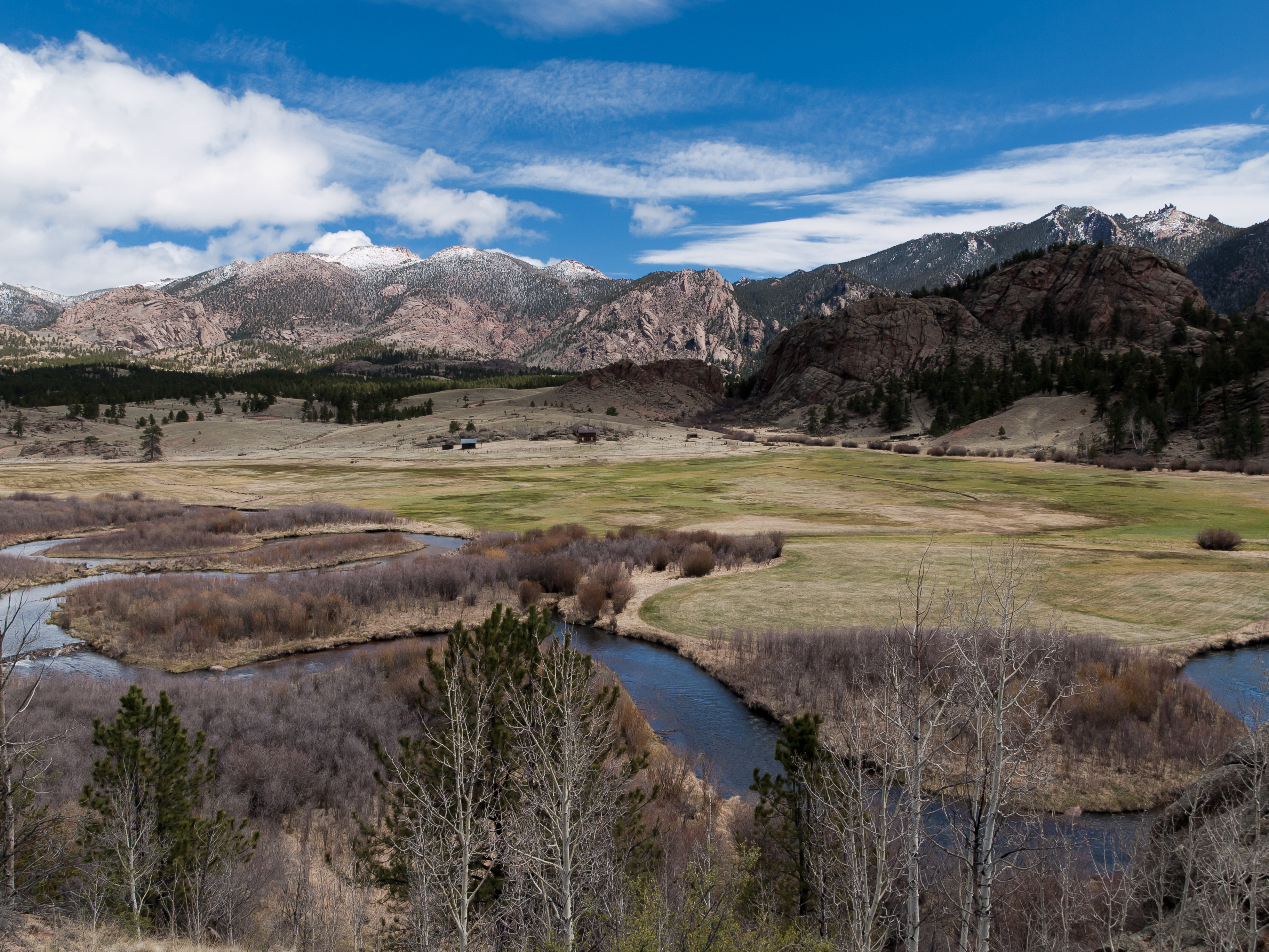
Tarryall Creek Valley
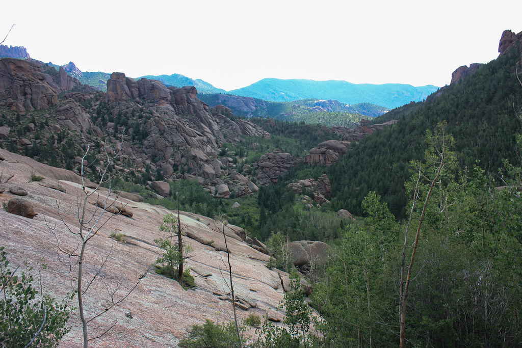
Valley View
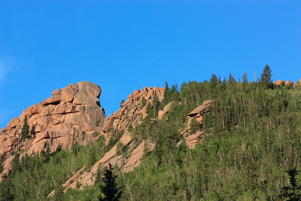
Campsite View
Topographic Map of Bison Peak, Colorado, USA
Find elevation by address:

Places near Bison Peak, Colorado, USA:
456 Spade Pl
402 Willow Ct
402 Willow Ct
402 Willow Ct
Willow Court
1115 Willow Way
Co Rd 77, Jefferson, CO, USA
78 Ambush Ln
594 Wells Fargo Cir
243 Concord Dr
1513 Longbow Dr
914 Longbow Dr
1996 Chief Trail
2529 Stagestop Rd
1680 Overland Cir
1680 Overland Cir
23 Bordenville Ct
2078 Overland Cir
1036 Crooked Rock Path
142 Long Rifle Way
Recent Searches:
- Elevation of Corso Fratelli Cairoli, 35, Macerata MC, Italy
- Elevation of Tallevast Rd, Sarasota, FL, USA
- Elevation of 4th St E, Sonoma, CA, USA
- Elevation of Black Hollow Rd, Pennsdale, PA, USA
- Elevation of Oakland Ave, Williamsport, PA, USA
- Elevation of Pedrógão Grande, Portugal
- Elevation of Klee Dr, Martinsburg, WV, USA
- Elevation of Via Roma, Pieranica CR, Italy
- Elevation of Tavkvetili Mountain, Georgia
- Elevation of Hartfords Bluff Cir, Mt Pleasant, SC, USA