Elevation of Overland Cir, Jefferson, CO, USA
Location: United States > Colorado > Park County > Jefferson >
Longitude: -105.72742
Latitude: 39.273152
Elevation: 2903m / 9524feet
Barometric Pressure: 71KPa
Elevation Map:
Satellite Map:
Related Photos:
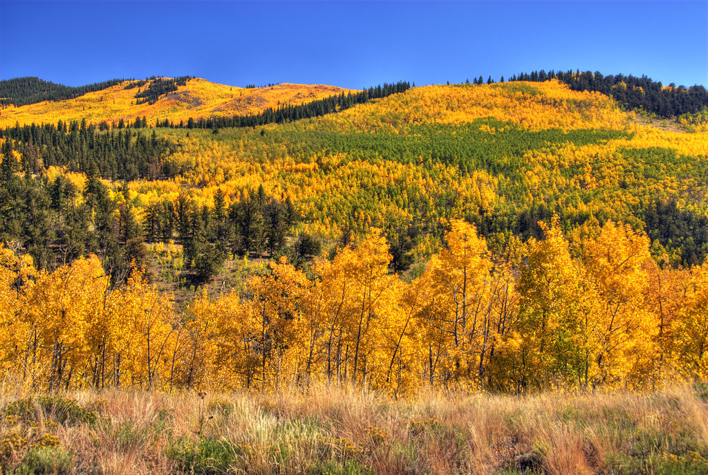
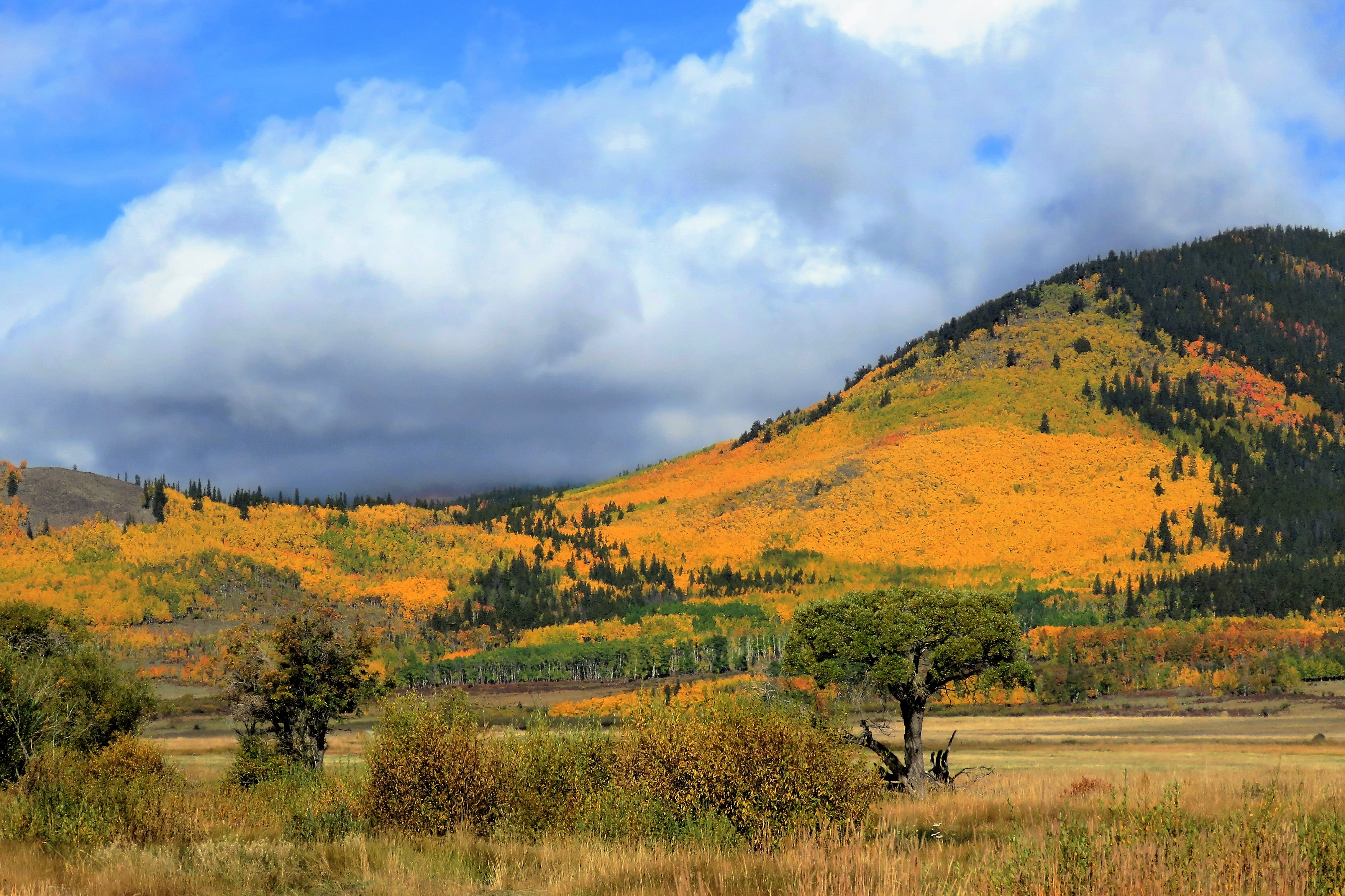
Colorado Aspens
Colorful Colorado

The View from Como

View from Hwy. 285 near Kenosha Pass, Colorado

Colorado Farm Oil Paint
Kenosha Pass, Colorado

South Park View from Hwy. 285 near Kenosha Pass, Colorado

Eagle Rock, Pike National Forest

Kenosha Pass

Long Meadow, Segment 4, Colorado Trail, CO11

Como Inn and Eating House (3D)

Long Meadow, Segment 4, Colorado Trail, CO13

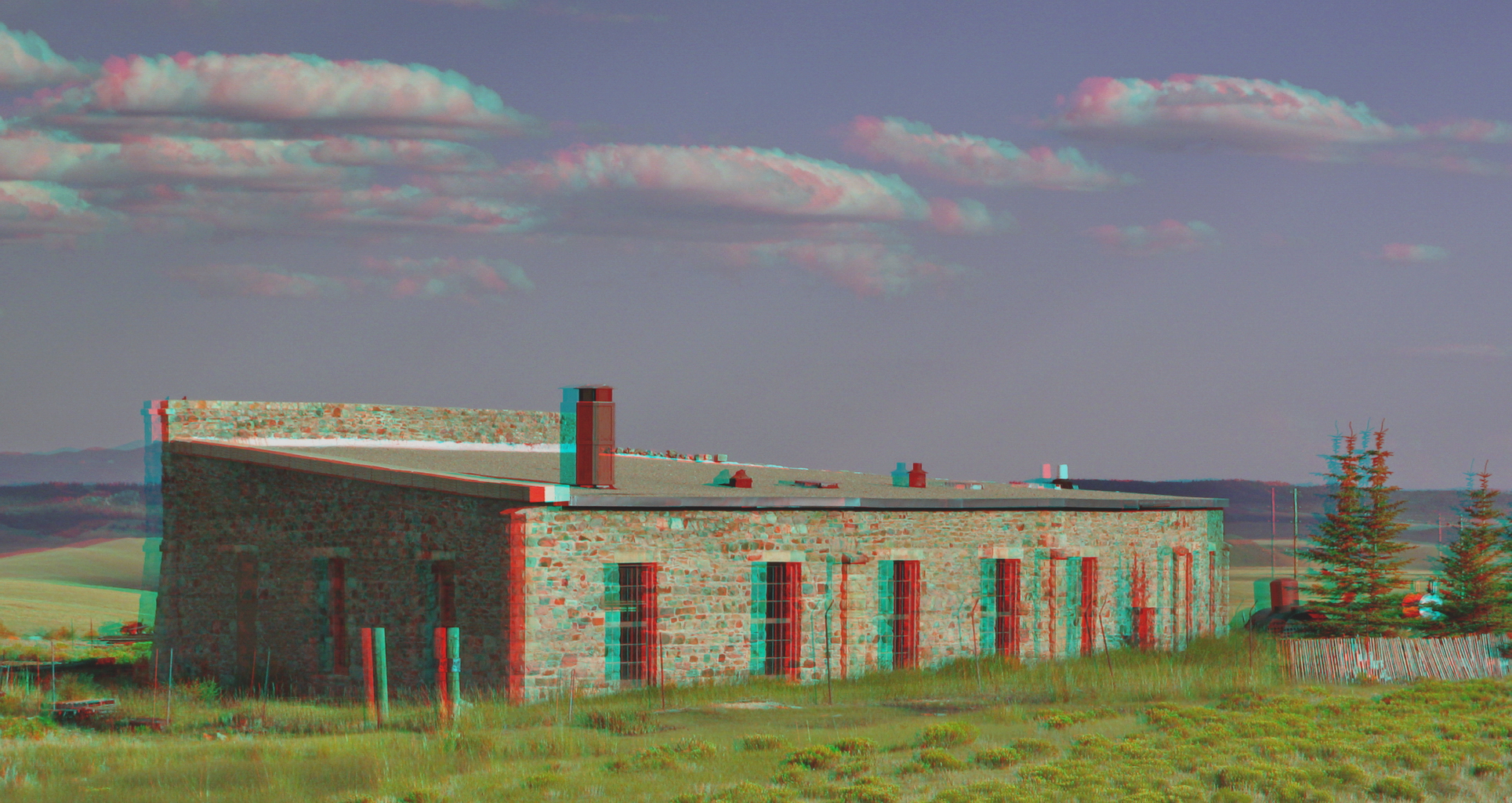
Como Ruins (3D)

Como Mercantile (3D)
Como Roundhouse (3D)

Waiting for winter (3D)
Long Meadow, Segment 4, Colorado Trail, CO18

Johnson Gulch, Segment 5, Colorado Trail, CO

Segment 4, Colorado Trail, CO19

Segment 5, Colorado Trail, CO14

Rock Creek, Segment 5, Colorado Trail, CO6

Floral waves below the divide

Elephant's heads, fenced in

Incorrigibly Bucolic Colorado

Aspen Trees Under the Moon
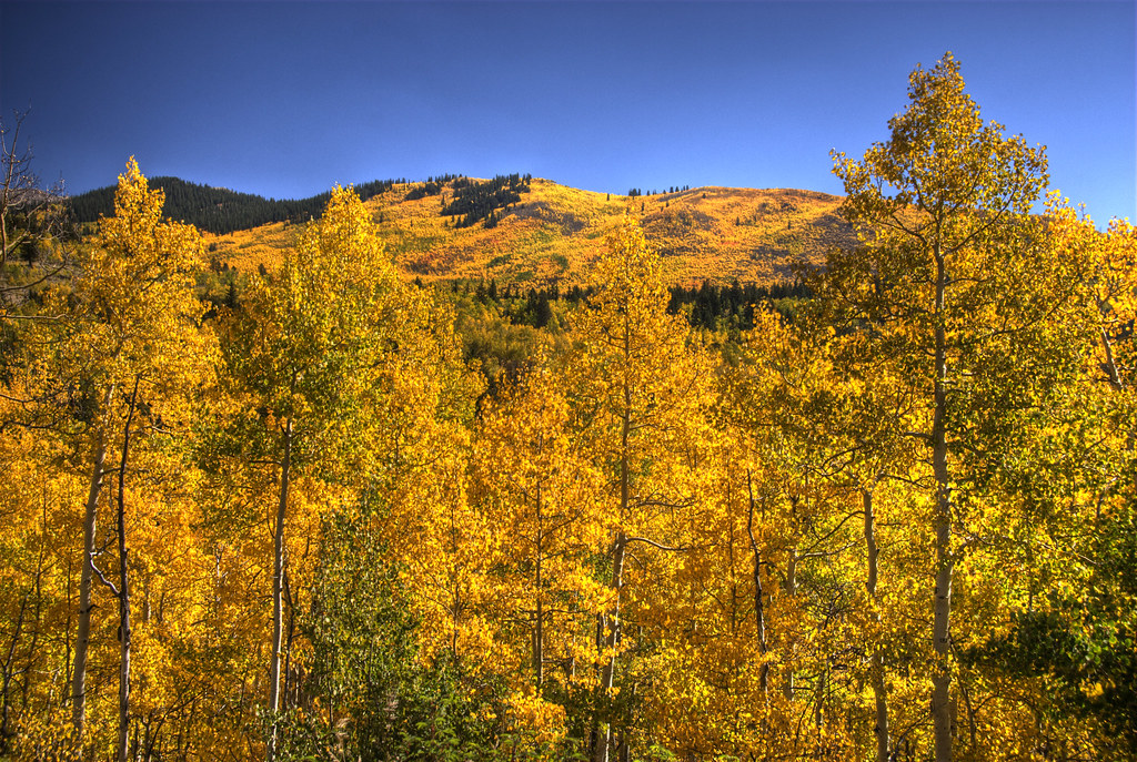
Autumn Glory

_05A8485-Pano-PS-Edit-1

Autumn In The Rocky Mountains
Near the Colorado Trail

Kenosha Pass, Colorado
Colorado Farm

Sunset in the High Plains

Tarrying at Tarryall

Columbine Ranch 23

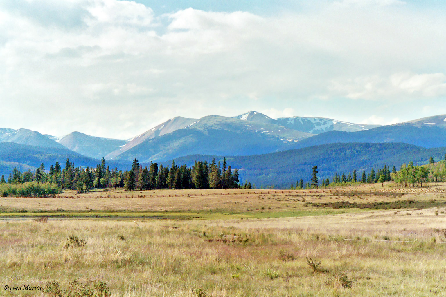
South Park

Autumn in the High Country

Ranch Country Autumn
Autumn Morn
Topographic Map of Overland Cir, Jefferson, CO, USA
Find elevation by address:

Places near Overland Cir, Jefferson, CO, USA:
23 Bordenville Ct
2529 Stagestop Rd
1680 Overland Cir
1680 Overland Cir
243 Concord Dr
71 Quarter Horse Rd
847 Palomino Rd
78 Ambush Ln
594 Wells Fargo Cir
1697 Chippewa Rd
Chestnut Lane
260 Thunder Ln
1996 Chief Trail
339 Wampum Ln
108 Australian Rd
320 Nez Perce Rd
51 Suffolk Way
1513 Longbow Dr
914 Longbow Dr
329 Albino Rd
Recent Searches:
- Elevation of Congressional Dr, Stevensville, MD, USA
- Elevation of Bellview Rd, McLean, VA, USA
- Elevation of Stage Island Rd, Chatham, MA, USA
- Elevation of Shibuya Scramble Crossing, 21 Udagawacho, Shibuya City, Tokyo -, Japan
- Elevation of Jadagoniai, Kaunas District Municipality, Lithuania
- Elevation of Pagonija rock, Kranto 7-oji g. 8"N, Kaunas, Lithuania
- Elevation of Co Rd 87, Jamestown, CO, USA
- Elevation of Tenjo, Cundinamarca, Colombia
- Elevation of Côte-des-Neiges, Montreal, QC H4A 3J6, Canada
- Elevation of Bobcat Dr, Helena, MT, USA