Elevation of Birchwood Cir, Cabot, AR, USA
Location: United States > Arkansas > Lonoke County > York Township > Cabot >
Longitude: -92.014961
Latitude: 34.9872693
Elevation: 94m / 308feet
Barometric Pressure: 100KPa
Elevation Map:
Satellite Map:
Related Photos:

Left-Face, Scarecrow!

Goodness of Bread and Honey
Birds of a feather...
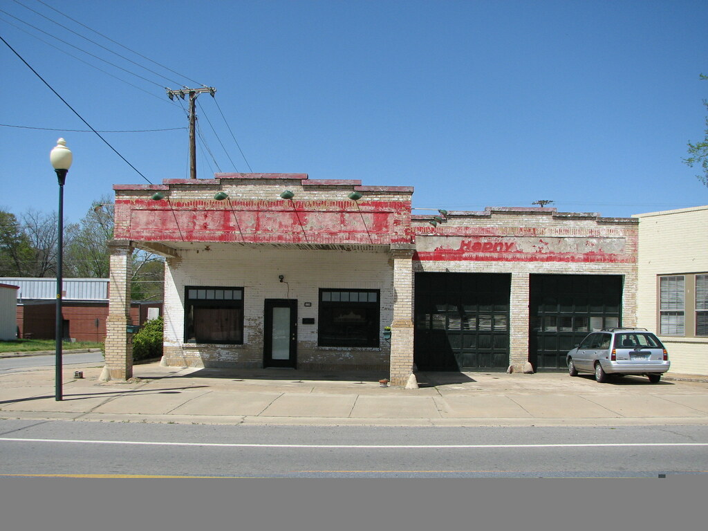
Beebe Esso II
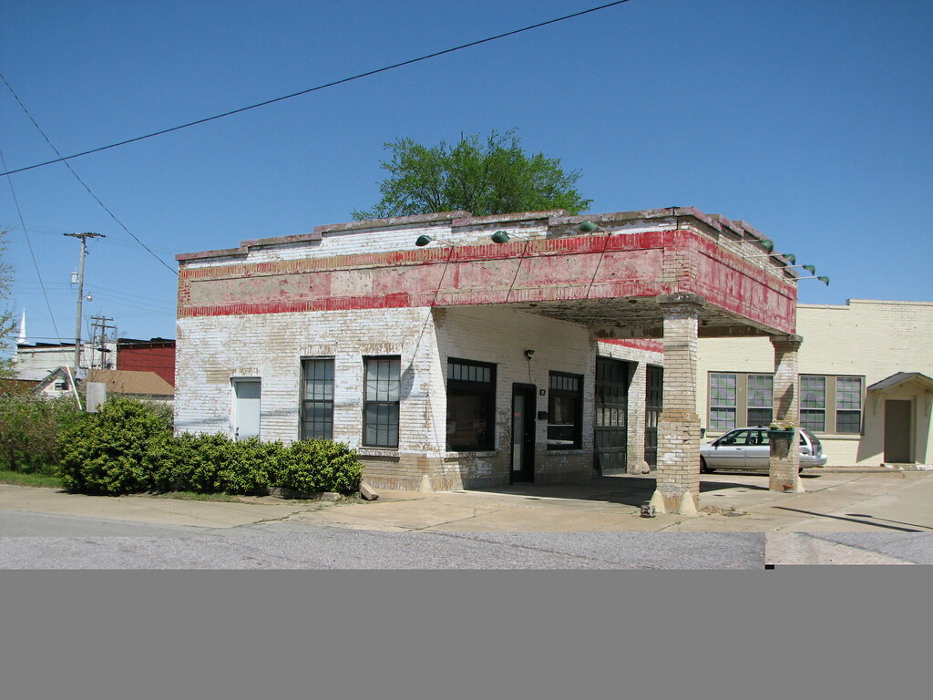
Beebe Esso I
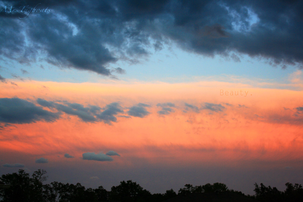
(365)96-The sky after a storm.

Winter Photos
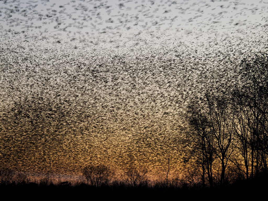
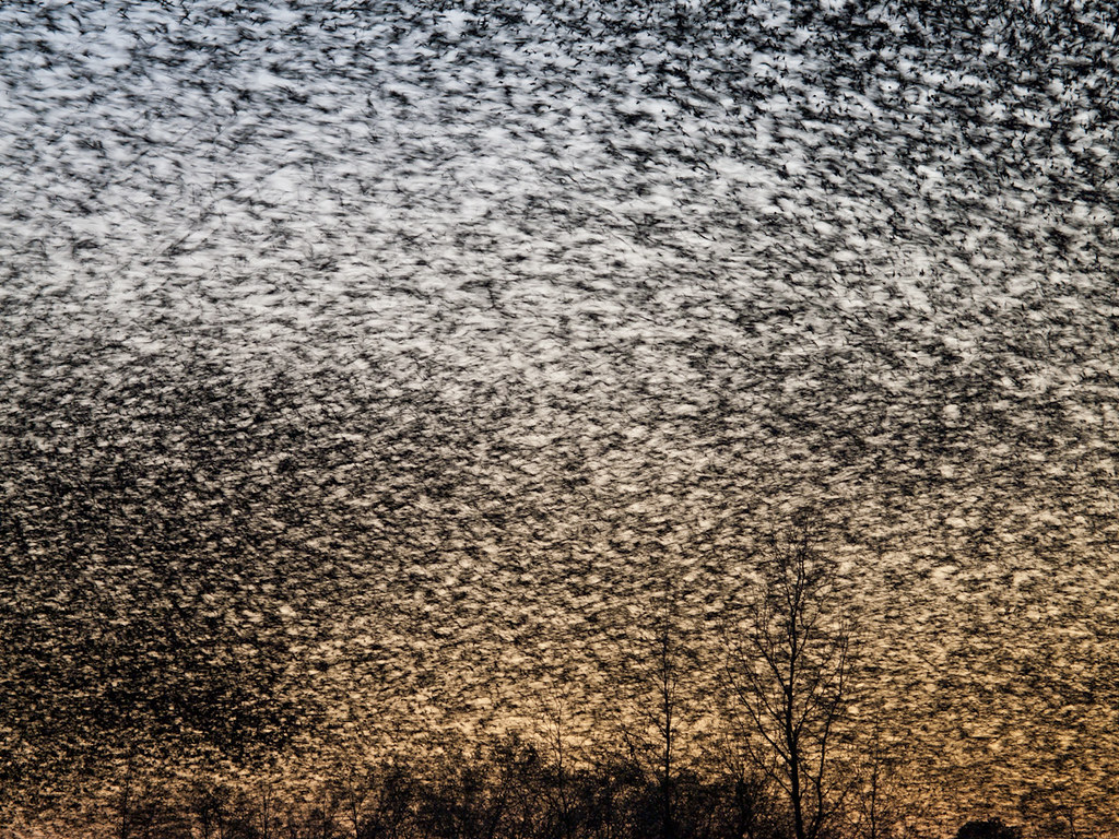
A bunch of birds over Beebe
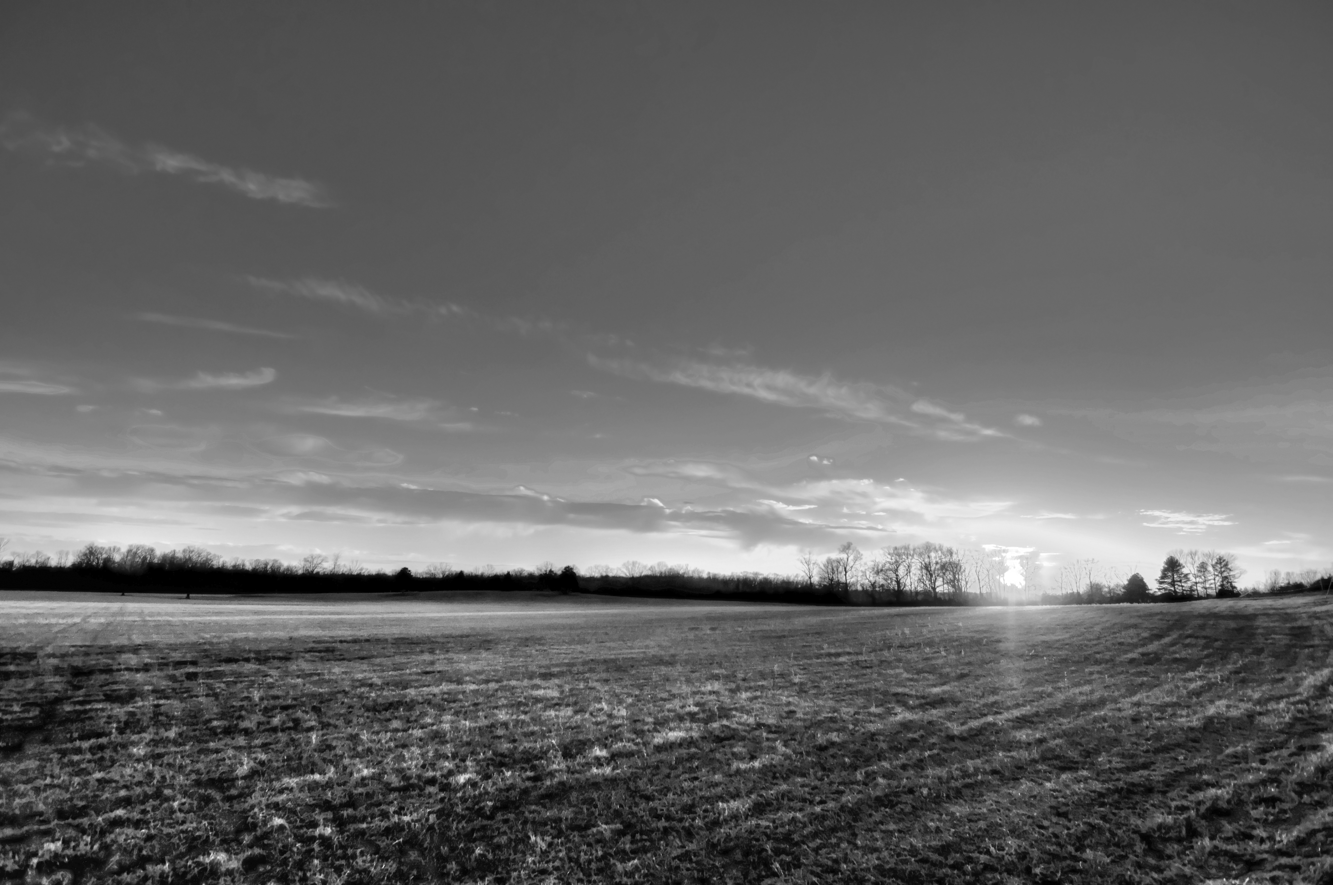
29/365 HDR in black and white

New Hwy 67 Cabot interchange
Topographic Map of Birchwood Cir, Cabot, AR, USA
Find elevation by address:

Places near Birchwood Cir, Cabot, AR, USA:
116 Birchwood Cir
118 Birchwood Cir
122 Birchwood Cir
121 Birchwood Cir
39 Ridge Rd
Oak Ridge Dr, Austin, AR, USA
E Main St, Austin, AR, USA
Austin
Caroline Township
Deer Creek Dr, Cabot, AR, USA
22 Cypress Point St
811 Greystone Blvd
32 Wildwood Dr
100 Justin Ln
AR-5, Cabot, AR, USA
Sweetwater Dr, Ward, AR, USA
30 Sally Haymes Rd, Austin, AR, USA
13 Greystone Ct, Cabot, AR, USA
Magness Township
Cooper Ln, Austin, AR, USA
Recent Searches:
- Elevation of Zu den Ihlowbergen, Althüttendorf, Germany
- Elevation of Badaber, Peshawar, Khyber Pakhtunkhwa, Pakistan
- Elevation of SE Heron Loop, Lincoln City, OR, USA
- Elevation of Slanický ostrov, 01 Námestovo, Slovakia
- Elevation of Spaceport America, Co Rd A, Truth or Consequences, NM, USA
- Elevation of Warwick, RI, USA
- Elevation of Fern Rd, Whitmore, CA, USA
- Elevation of 62 Abbey St, Marshfield, MA, USA
- Elevation of Fernwood, Bradenton, FL, USA
- Elevation of Felindre, Swansea SA5 7LU, UK