Elevation of Deer Creek Dr, Cabot, AR, USA
Location: United States > Arkansas > Lonoke County > York Township > Cabot >
Longitude: -92.054652
Latitude: 34.98997
Elevation: 94m / 308feet
Barometric Pressure: 100KPa
Elevation Map:
Satellite Map:
Related Photos:

Meet The Flockers

Birds of a feather...

Left-Face, Scarecrow!

wonky religious views

Goodness of Bread and Honey

Another view of this beautiful haircut.????
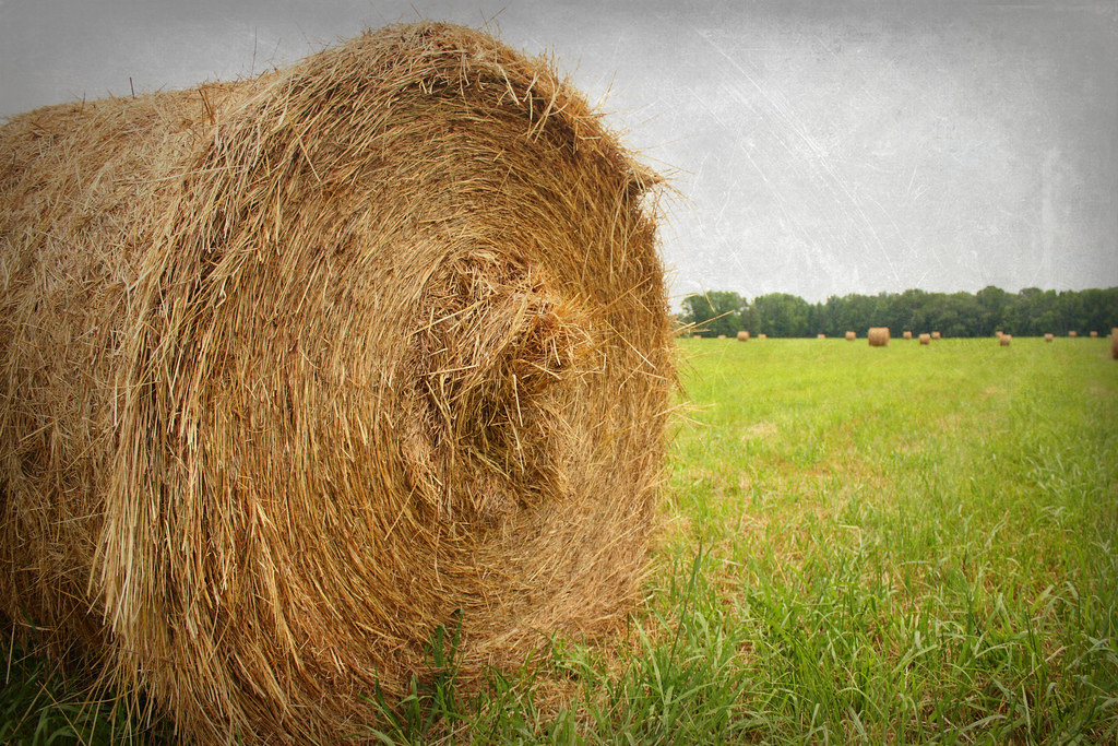
hay fever

A bunch of birds over Beebe
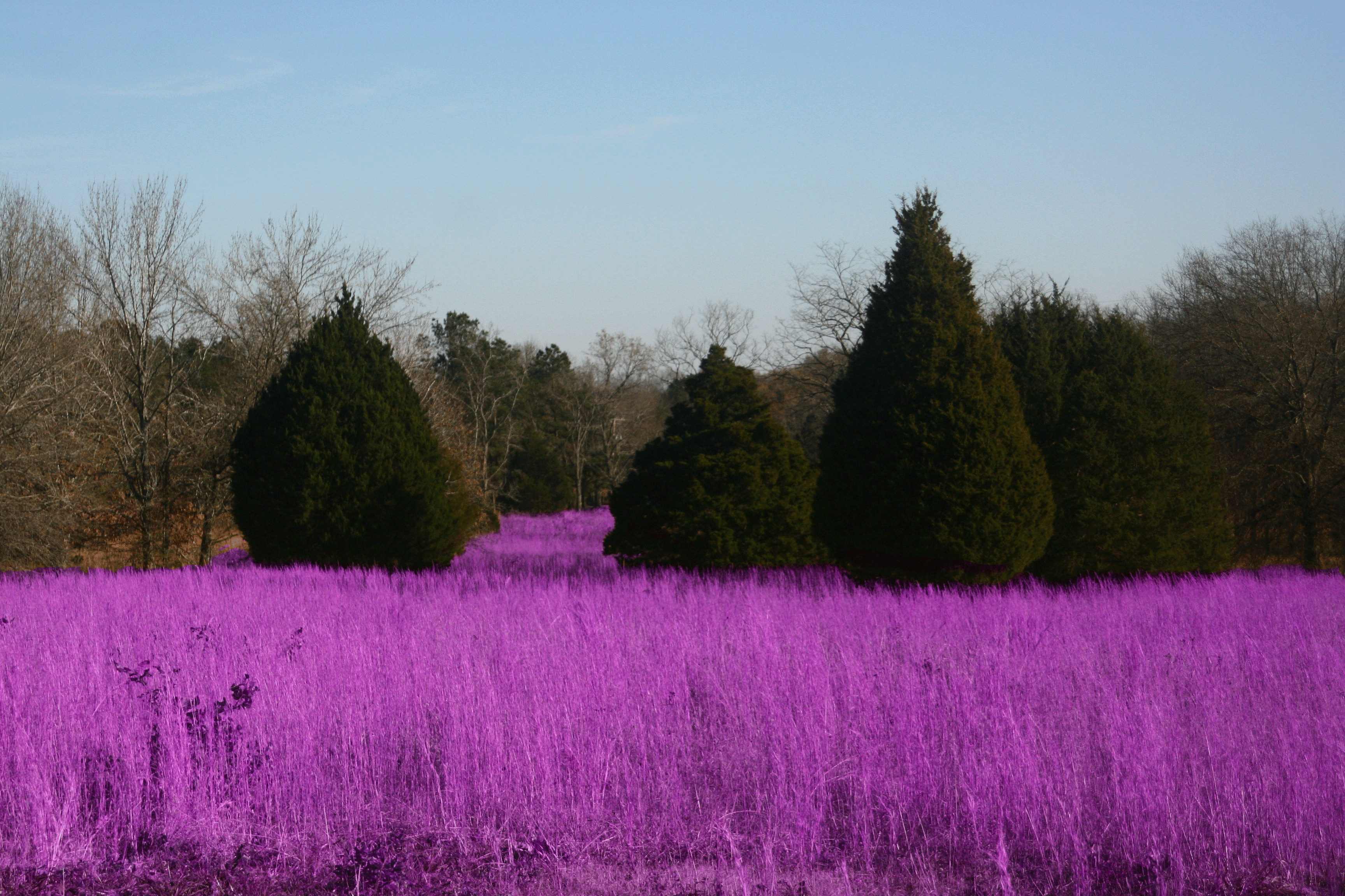
Grass isn't always greener

#mom2monkeysphotography #fishbreakfast #eatingbugs #park #pondlife #pretty #beautiful #breakfast #morning #cabot #canon30d #naturehippy #arkansas #explore #fun #instanaturefriends #notquitefull #simplebeauty #summerbeauty #wild #water
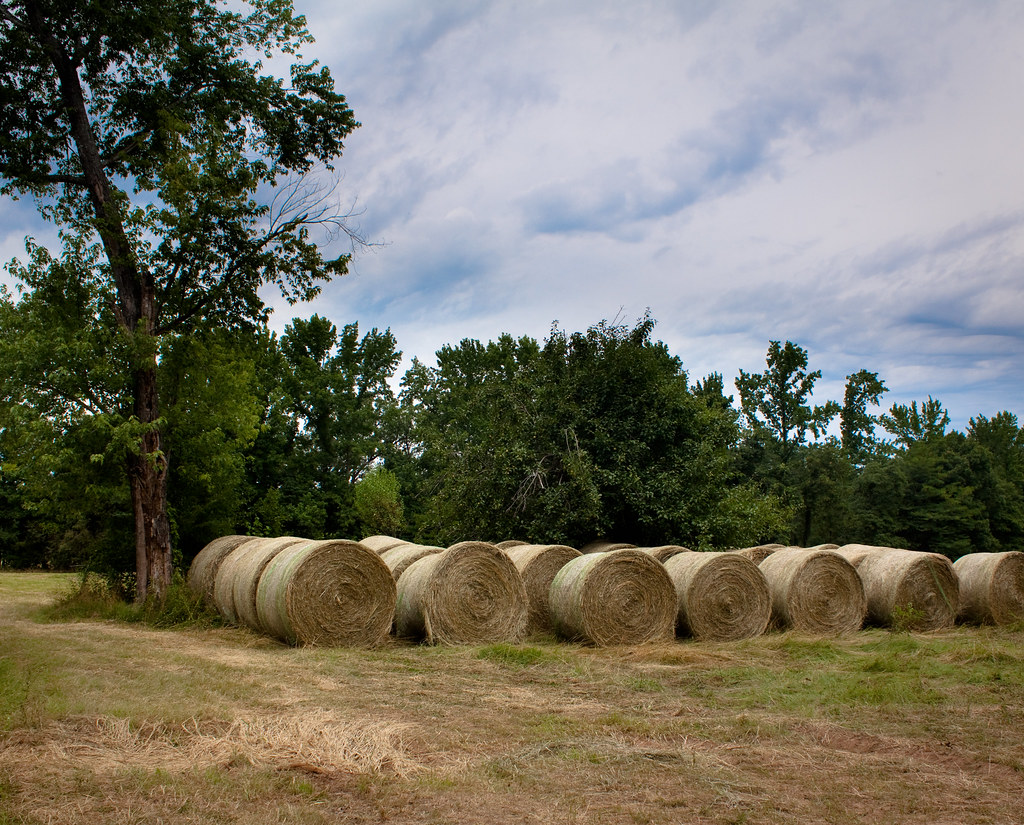
waves of hay

(365)96-The sky after a storm.
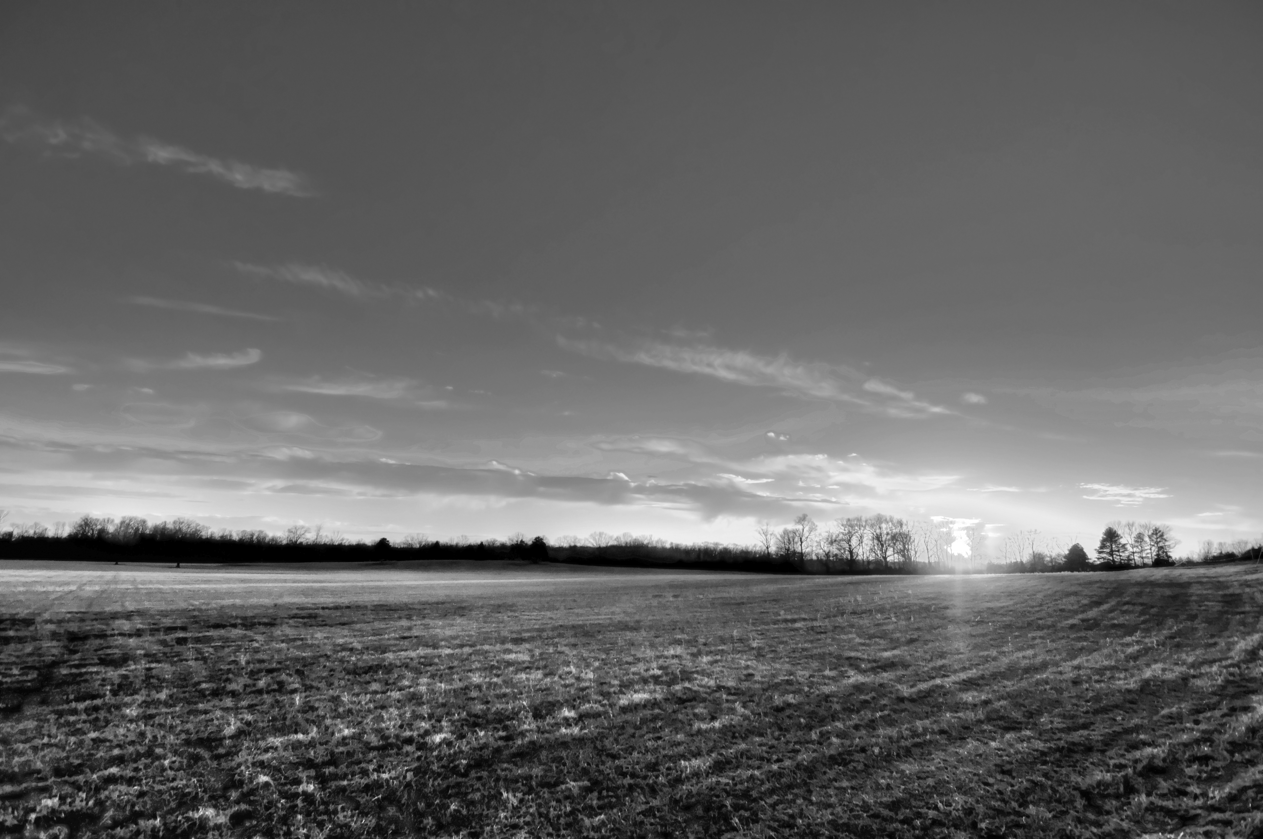
29/365 HDR in black and white
Topographic Map of Deer Creek Dr, Cabot, AR, USA
Find elevation by address:

Places near Deer Creek Dr, Cabot, AR, USA:
39 Ridge Rd
100 Justin Ln
32 Wildwood Dr
AR-5, Cabot, AR, USA
13 Greystone Ct, Cabot, AR, USA
Pride Gap Rd, Cabot, AR, USA
22 Cypress Point St
811 Greystone Blvd
122 Birchwood Cir
121 Birchwood Cir
118 Birchwood Cir
116 Birchwood Cir
114 Birchwood Cir
10 Lila Loop, Cabot, AR, USA
Magness Township
Cooper Ln, Austin, AR, USA
Oak Ridge Dr, Austin, AR, USA
Ballard Rd, Cabot, AR, USA
E Main St, Austin, AR, USA
Austin
Recent Searches:
- Elevation of Gateway Blvd SE, Canton, OH, USA
- Elevation of East W.T. Harris Boulevard, E W.T. Harris Blvd, Charlotte, NC, USA
- Elevation of West Sugar Creek, Charlotte, NC, USA
- Elevation of Wayland, NY, USA
- Elevation of Steadfast Ct, Daphne, AL, USA
- Elevation of Lagasgasan, X+CQH, Tiaong, Quezon, Philippines
- Elevation of Rojo Ct, Atascadero, CA, USA
- Elevation of Flagstaff Drive, Flagstaff Dr, North Carolina, USA
- Elevation of Avery Ln, Lakeland, FL, USA
- Elevation of Woolwine, VA, USA