Elevation of Bill Crisp Rd, Robbinsville, NC, USA
Location: United States > North Carolina > Graham County > Cheoah > Robbinsville >
Longitude: -83.694036
Latitude: 35.375217
Elevation: 664m / 2178feet
Barometric Pressure: 94KPa
Elevation Map:
Satellite Map:
Related Photos:
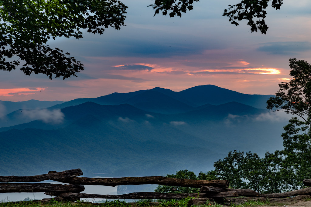
First Light

We may not have power but the view is amazing.
Smokies-20110311-237
Sunset by the Dragon
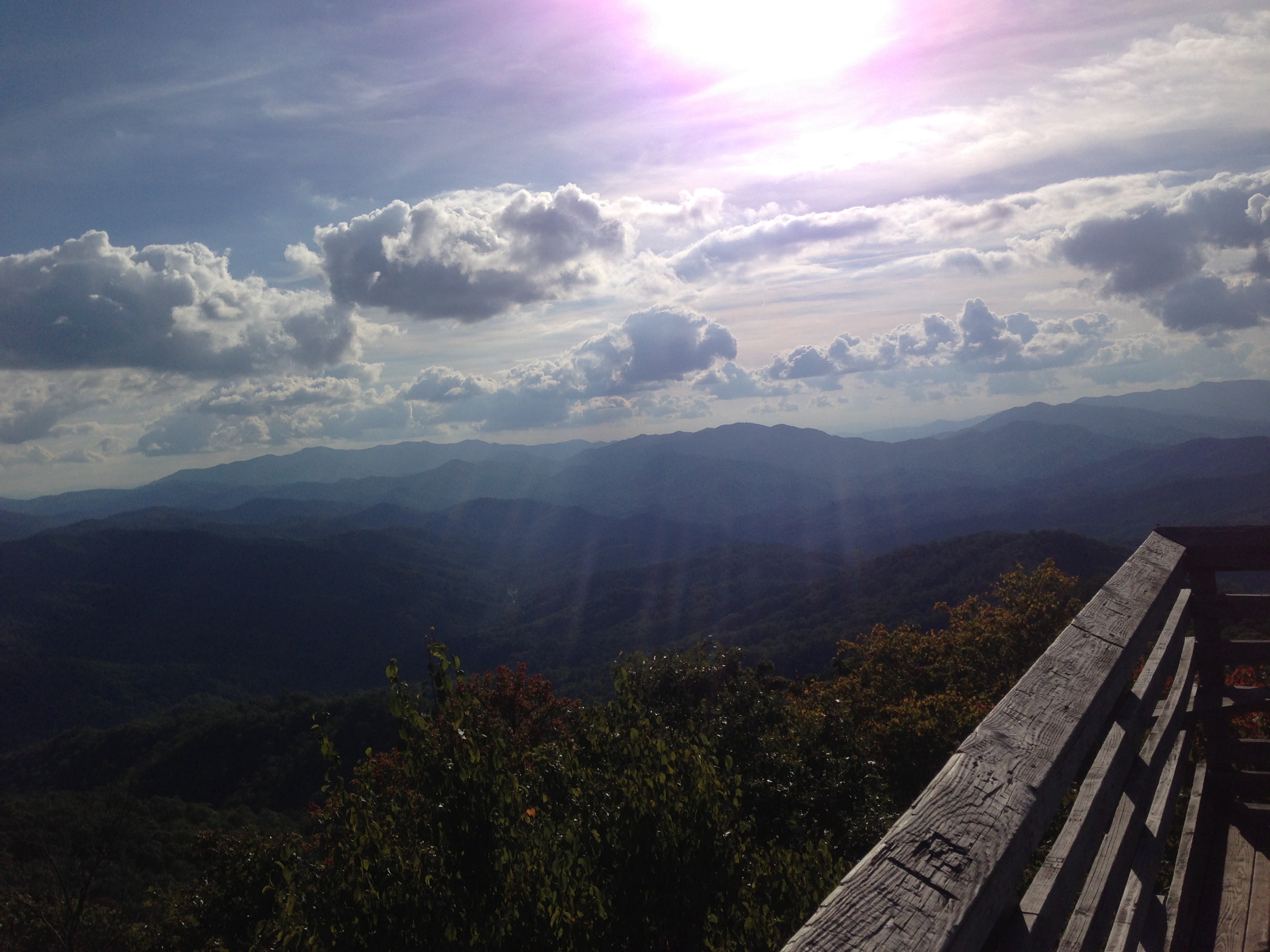
Views from the train
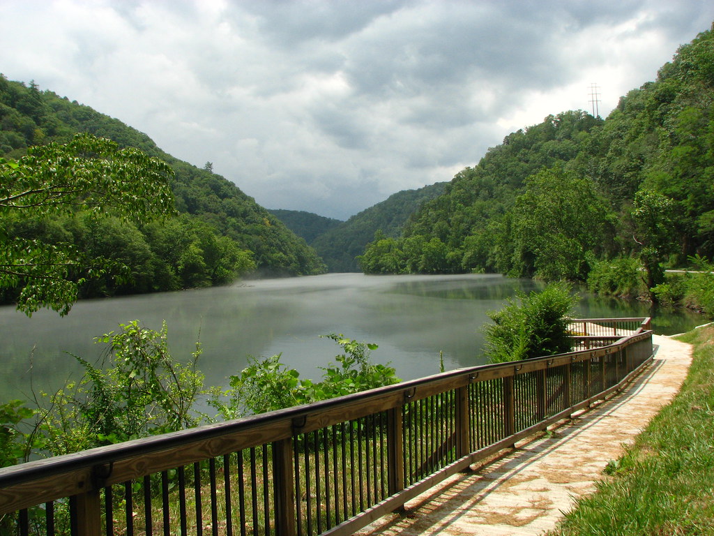
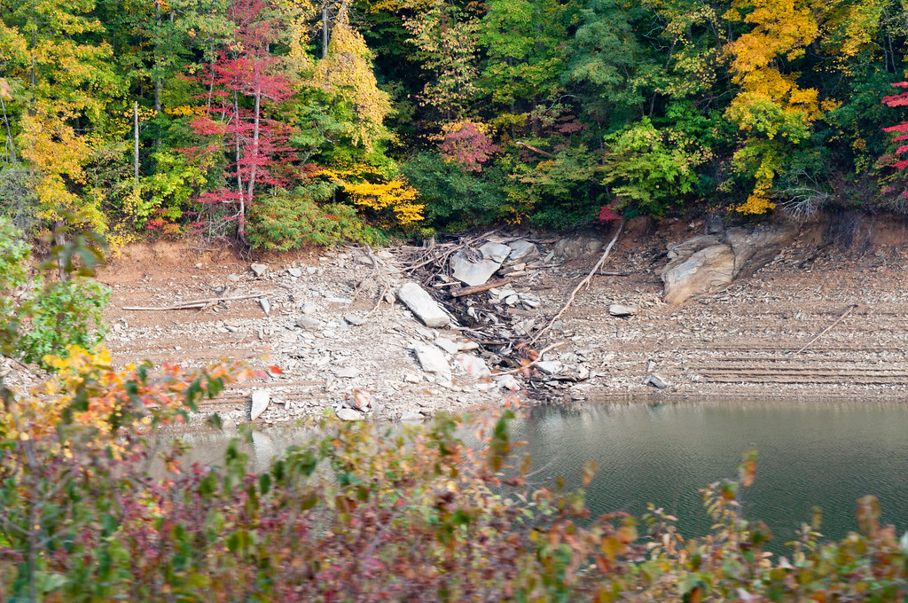
View of the Little Tennessee River
Nantahala River Gorge - Land of the Noon Day Sun
I made it back from Heaven
GSMNP Backpack Day 6 - June 28, 2014 - View Downstream of Fontana Dam

#roadtrip #northcarolina #greatsmokeymountains#nationalpark#view#logcabin
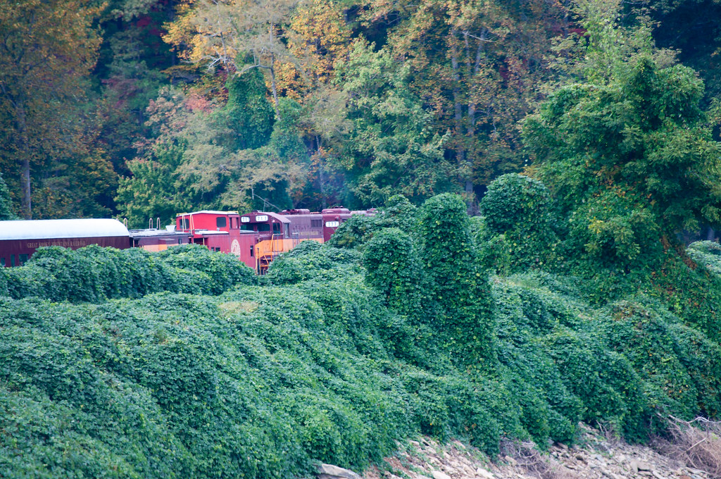
Views from the train
Views from the train
#greatsmokeymountains #nationalpark #view #northcarolina
#greatsmokeymountains #nationalpark #view #northcarolina #roadtrip

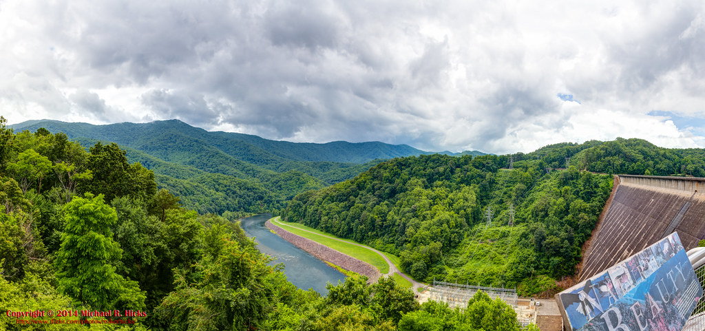
View from the Dam
Where the Paths Parted
Views from the train

Our sunset view from the Parsons' cabin in #brysoncity #northcarolina #ttot #nofilter
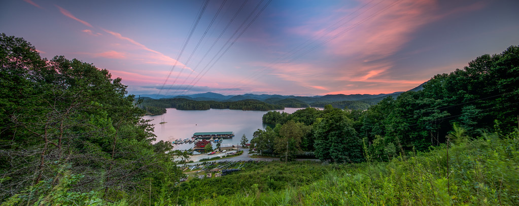
Fontana Lake in Western North Carolina - View From the Train
Cheoah Bald

Smokies-20110311-214.jpg
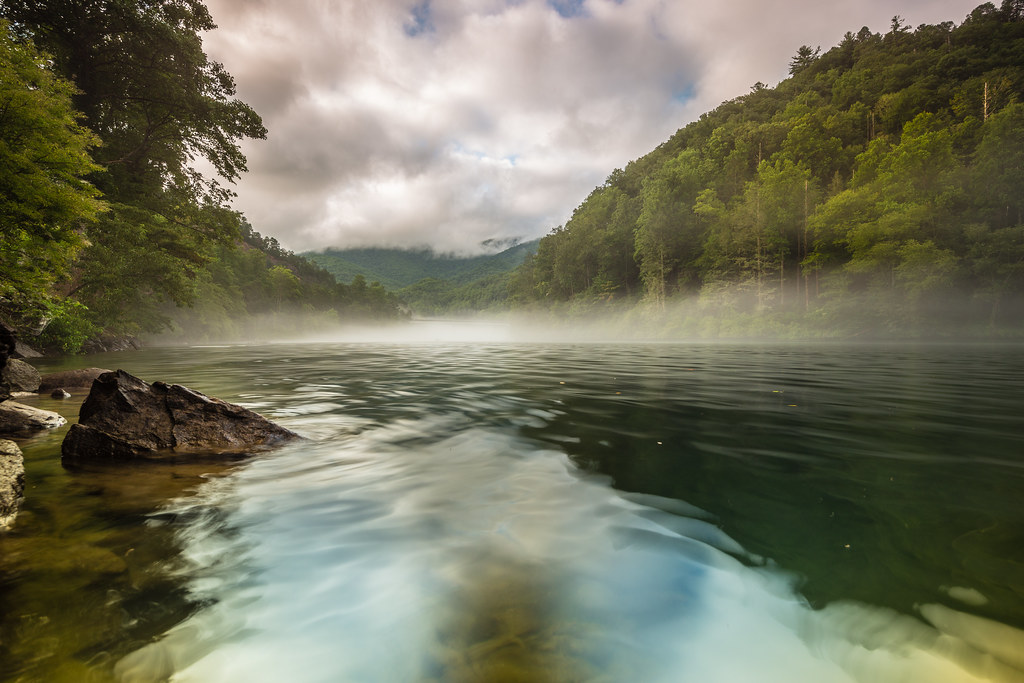
A River's Twilight

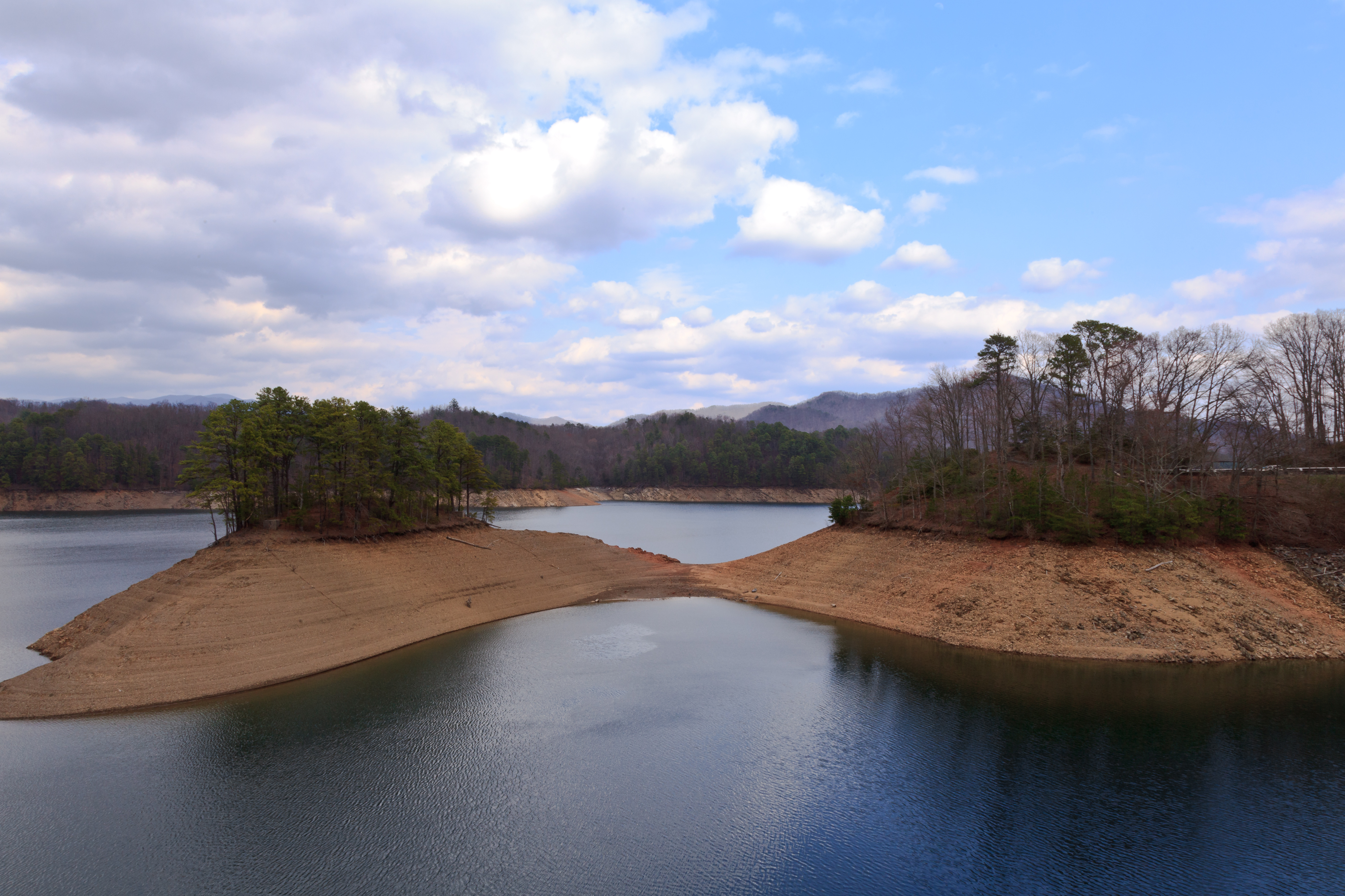
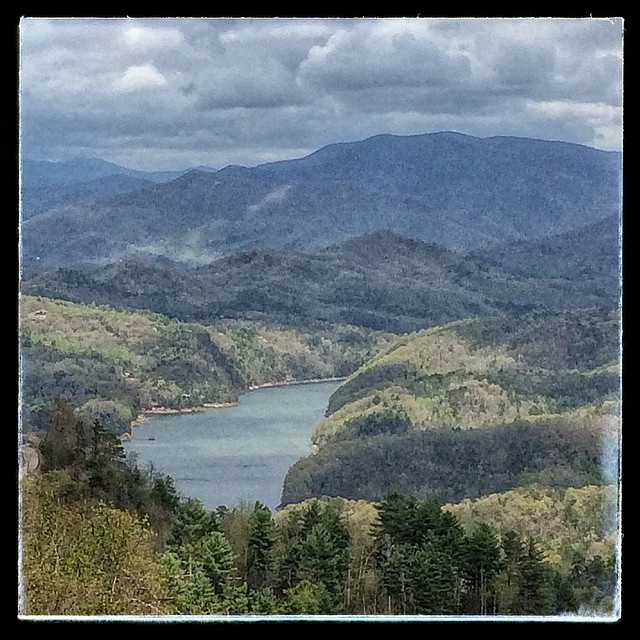
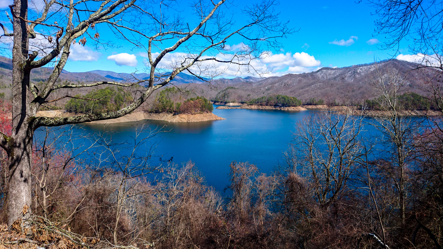
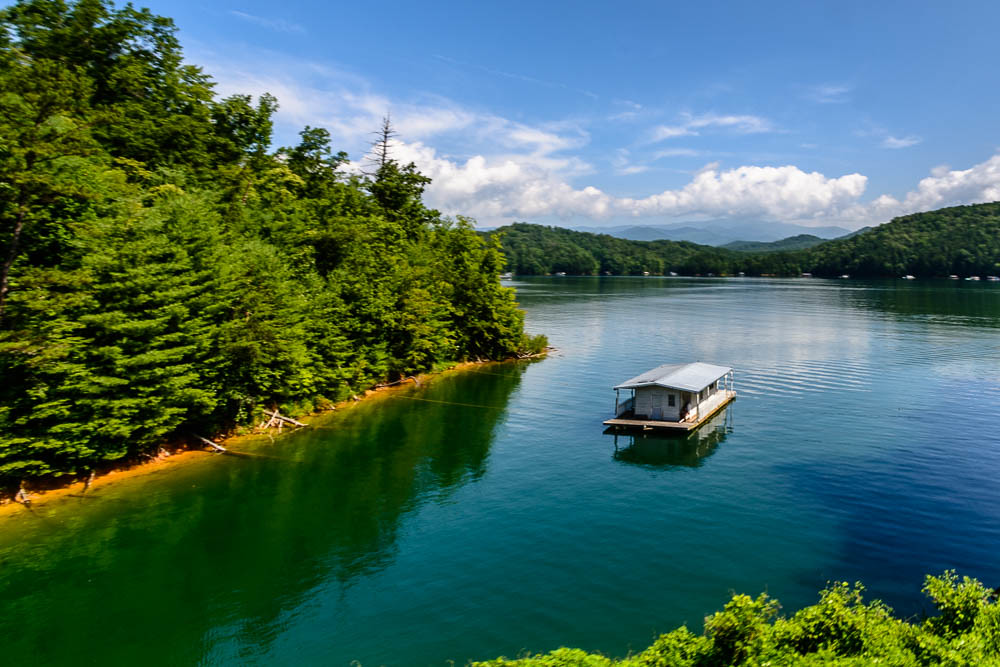
Lake Fontana

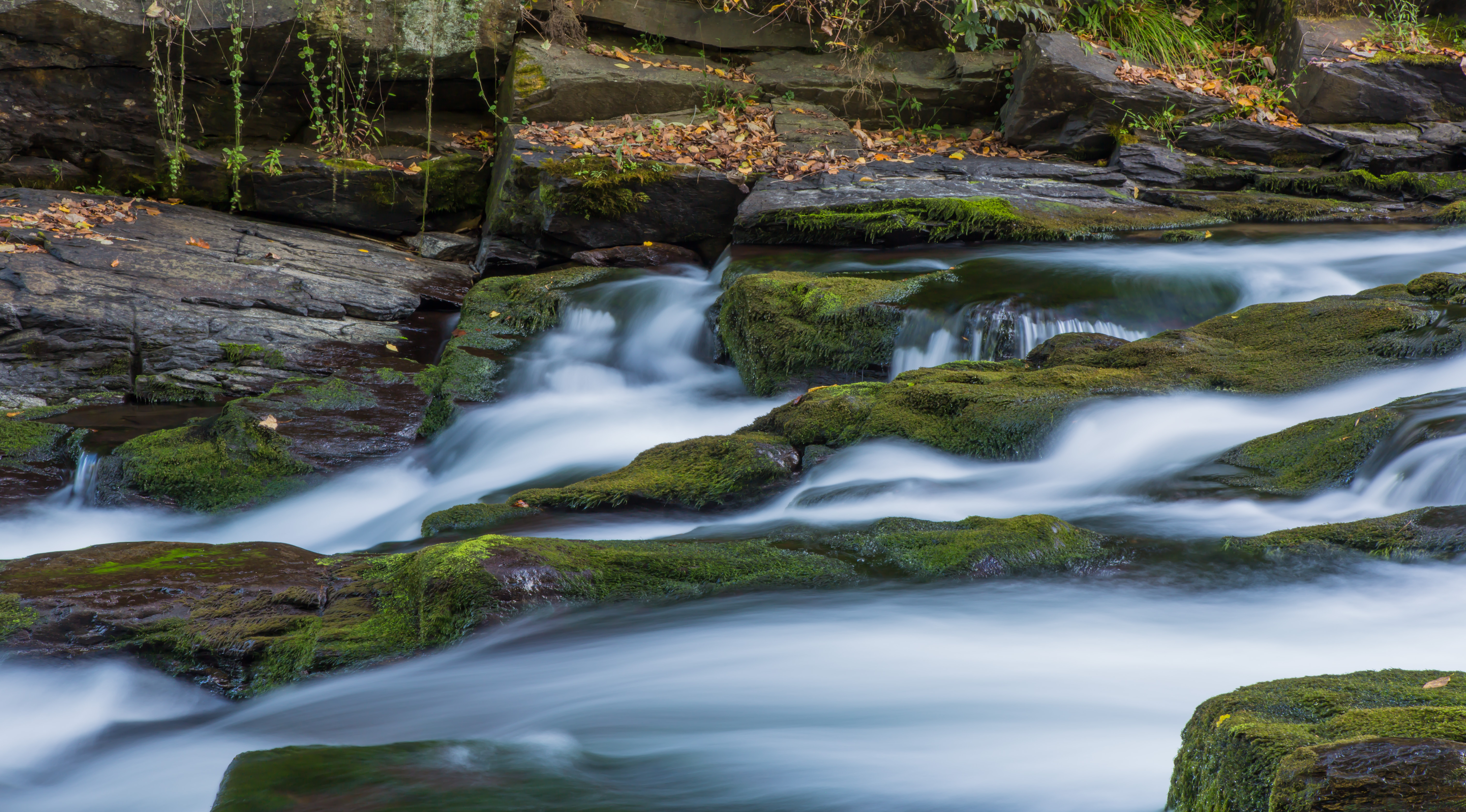
Indian Creek Falls, not Horse Shoe Falls
Ahhhhh!

Graham County Railroad - Topton, North Carolina

GSMR Rounding The Bend
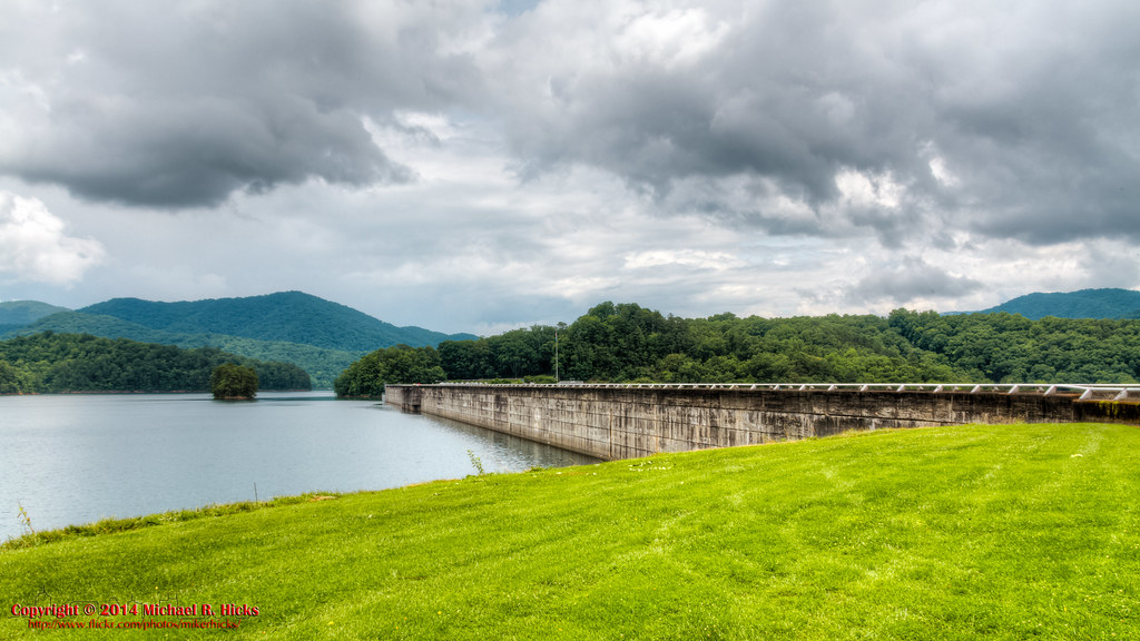
Fontana Dam II

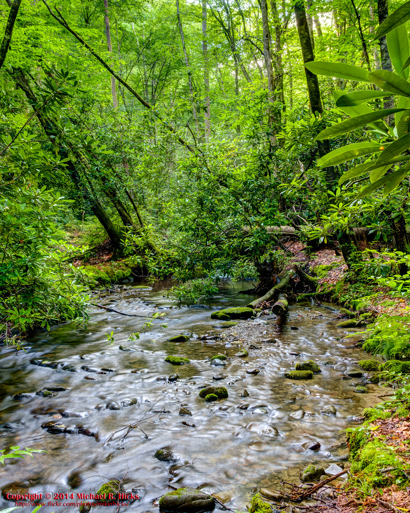
One of my Favorite Spots
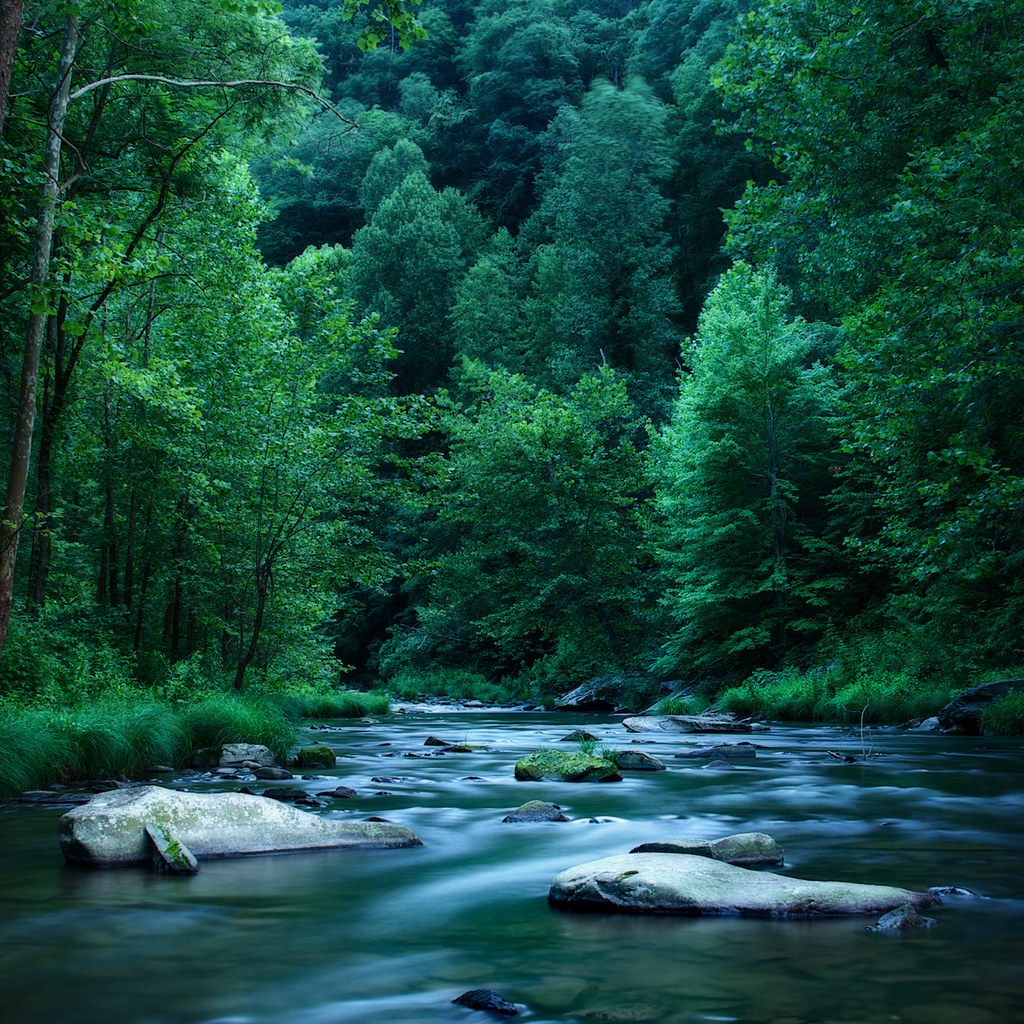
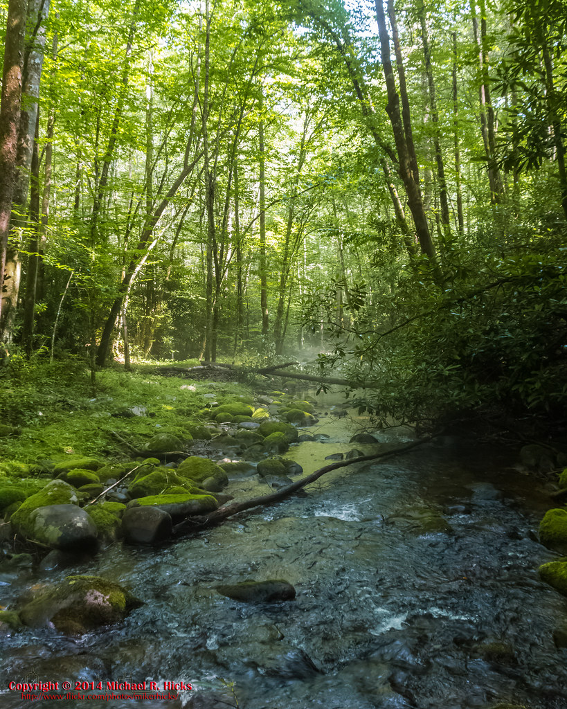
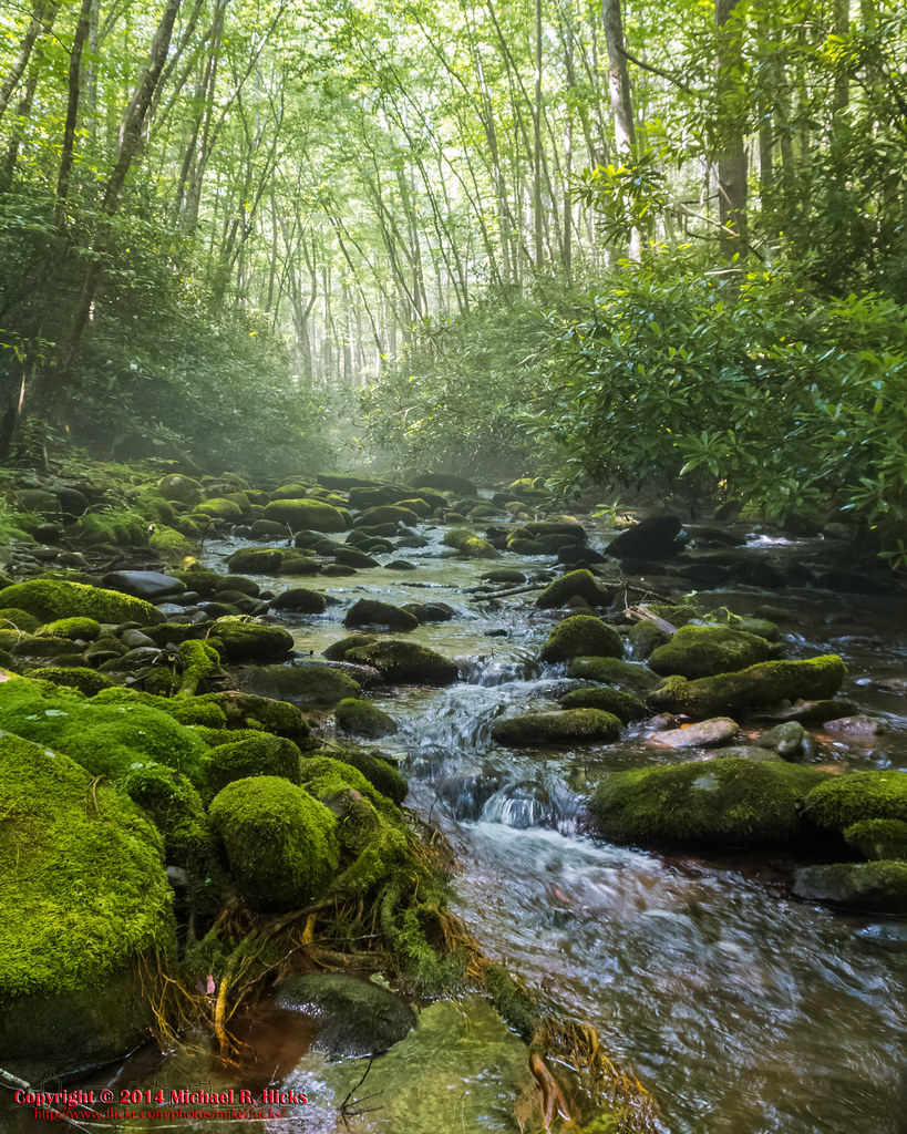
Creek of Fog
GSMNP Backpack Day 6 - June 28, 2014 - Approaching Fontana Dam
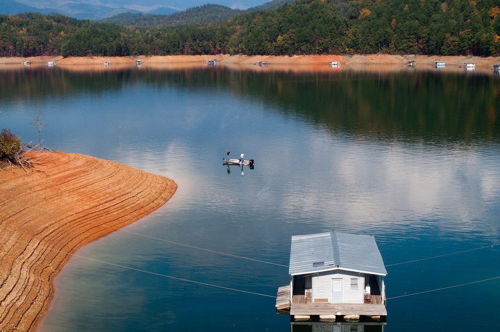
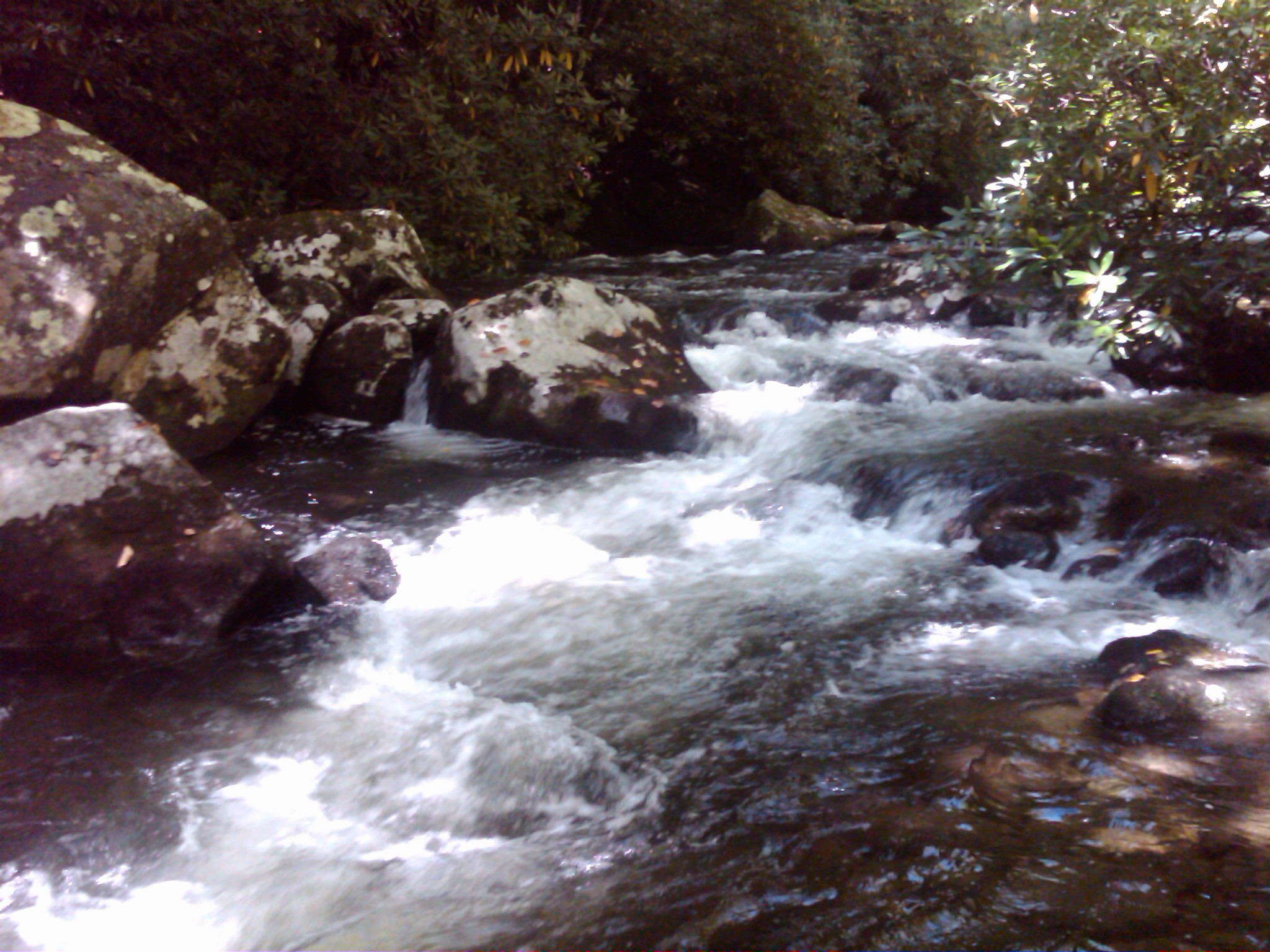
Home Wet Home
2013-09-28 17.08.25
GSMNP Backpack Day 5 - June 27, 2014 - Eagle Creek Campsite #96
GSMNP Backpack Day 5 - June 27, 2014 - Eagle Creek Campsite #96
Forney creek day one
GSMNP Backpack Day 5 - June 27, 2014 - Eagle Creek Campsite #96
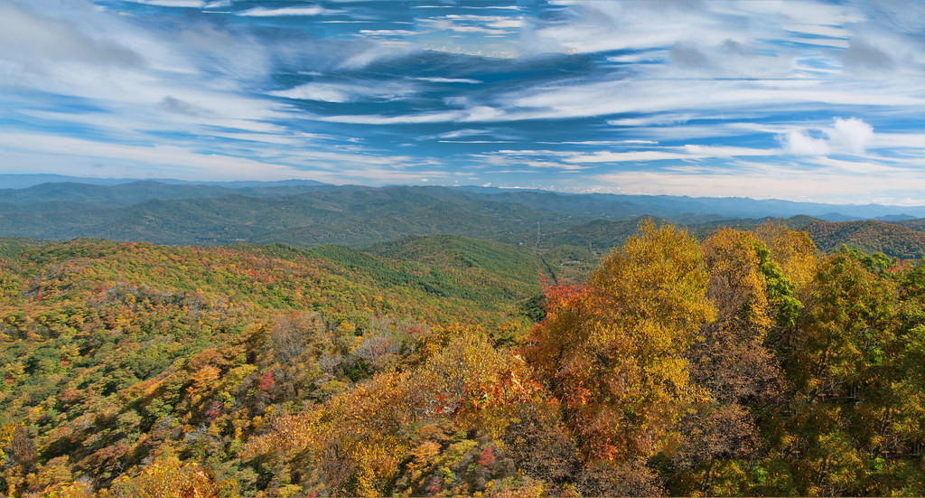
Wesser Bald Observation Tower - Macon County, North Carolina (HDR)
Topographic Map of Bill Crisp Rd, Robbinsville, NC, USA
Find elevation by address:

Places near Bill Crisp Rd, Robbinsville, NC, USA:
840 Mission Mountain
644 Mission Mountain
466 Stecoah Heights Rd
386 Stecoah Heights Rd
299 Stecoah Heights Rd
296 Stecoah Heights Rd
Stecoah
299 Stecoah Heights
146 Stecoah Rd
13 Stecoah Heights
121 School House Rd
300 Steve Dr
436 Briggs Cove Rd
Briggs Cove Road
44 Dog Hollow
371 Everet Jenkins Rd
336 Stecoah Gap Rd
505 Dry Creek Rd
62 Collins Cove
Collins Cove
Recent Searches:
- Elevation of Redondo Ave, Long Beach, CA, USA
- Elevation of Sadovaya Ulitsa, 20, Rezh, Sverdlovskaya oblast', Russia
- Elevation of Ulitsa Kalinina, 79, Rezh, Sverdlovskaya oblast', Russia
- Elevation of 72-31 Metropolitan Ave, Middle Village, NY, USA
- Elevation of 76 Metropolitan Ave, Brooklyn, NY, USA
- Elevation of Alisal Rd, Solvang, CA, USA
- Elevation of Vista Blvd, Sparks, NV, USA
- Elevation of 15th Ave SE, St. Petersburg, FL, USA
- Elevation of Beall Road, Beall Rd, Florida, USA
- Elevation of Leguwa, Nepal