Elevation of Briggs Cove Rd, Robbinsville, NC, USA
Location: United States > North Carolina > Graham County > Cheoah > Robbinsville >
Longitude: -83.686268
Latitude: 35.3825756
Elevation: 678m / 2224feet
Barometric Pressure: 93KPa
Elevation Map:
Satellite Map:
Related Photos:
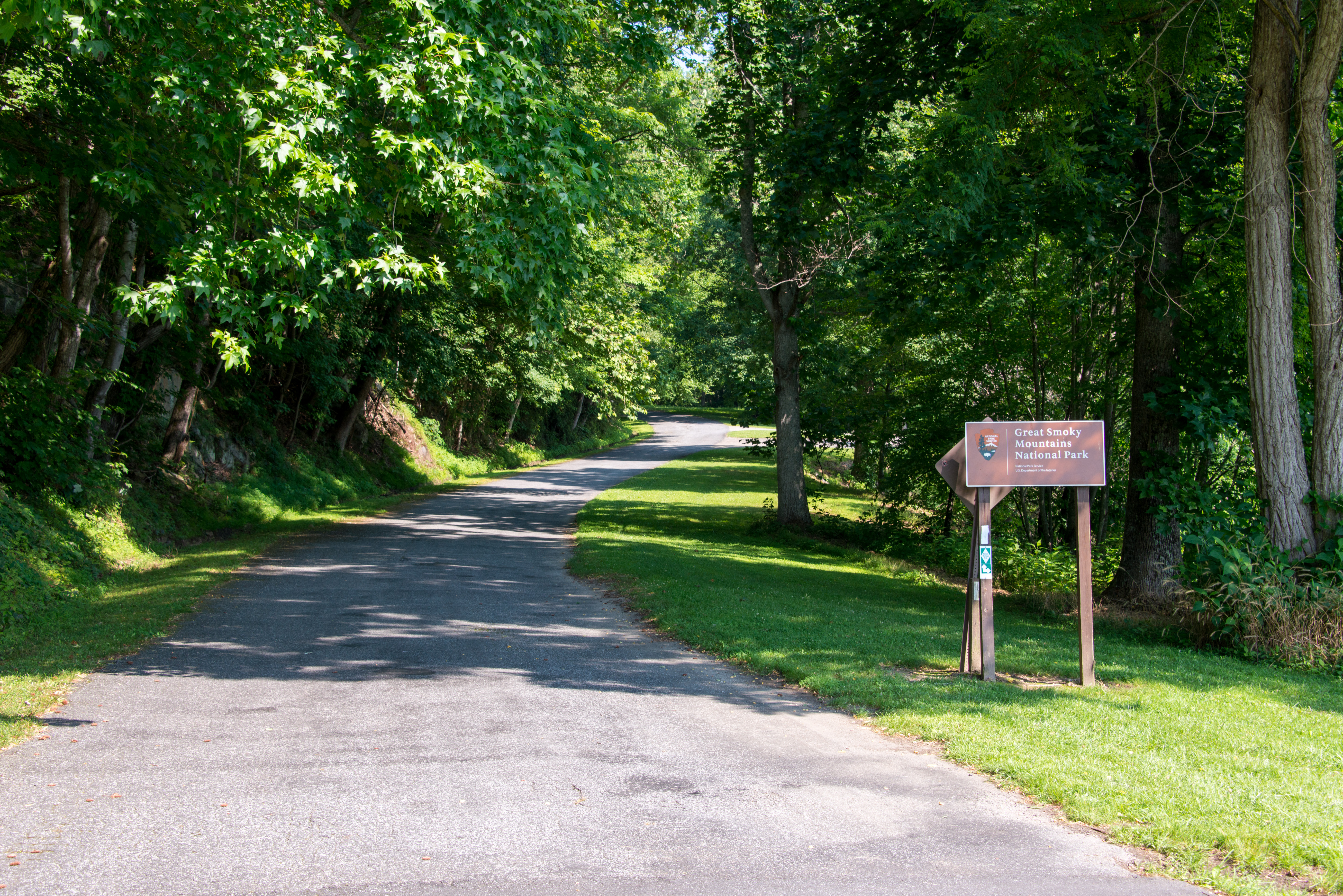
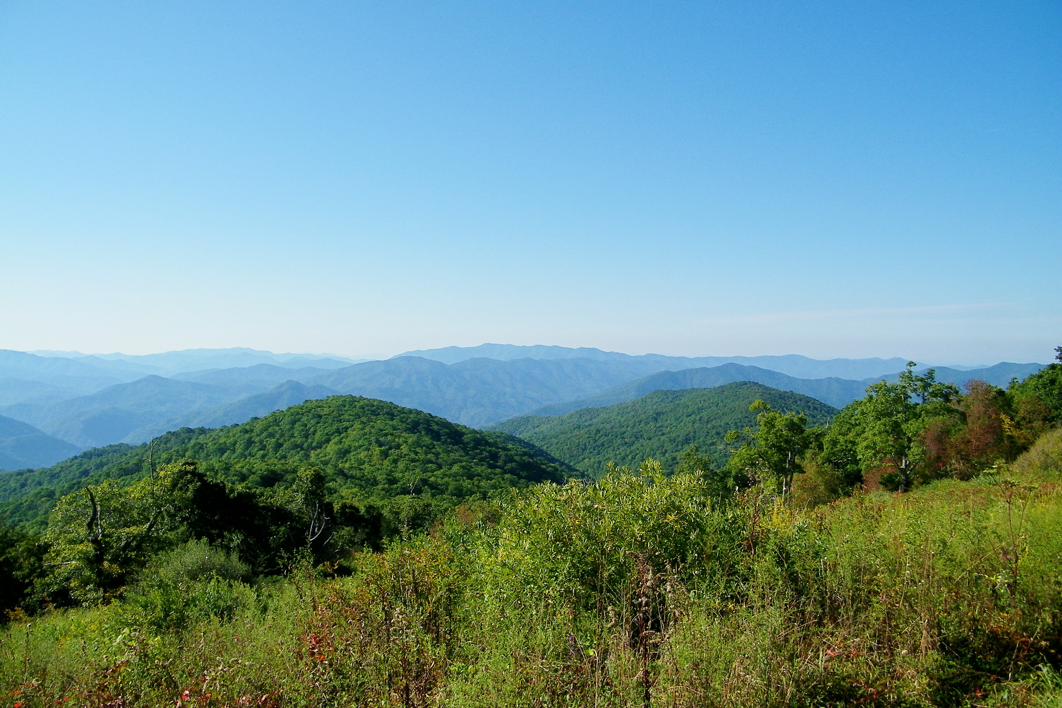
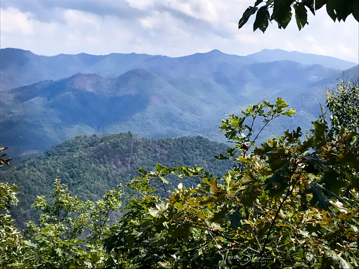
Nantahala River Gorge - Land of the Noon Day Sun
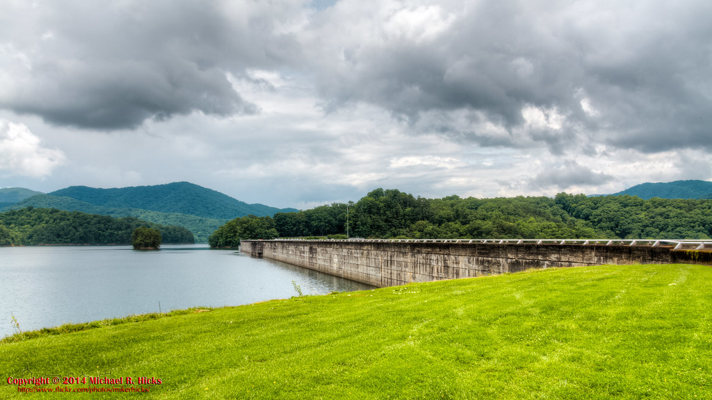
140706-3175 Fontana Dam
Wesser Bald Lookout Tower
Nice weather for us!
Wesser Bald Lookout Tower
Bridge View of the Nantahala.
I made it back from Heaven

Views from the train
Where the Paths Parted
Views from the train
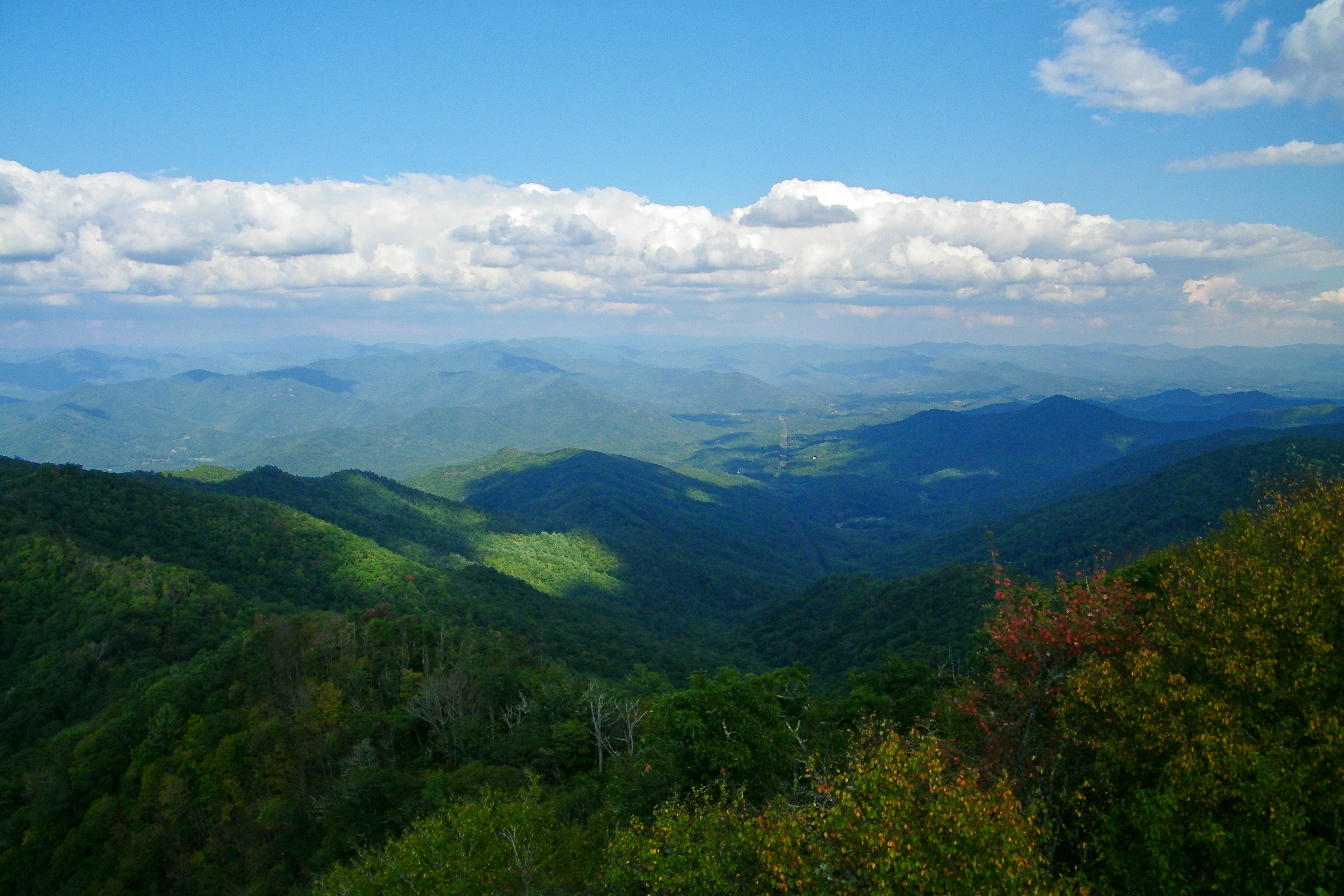
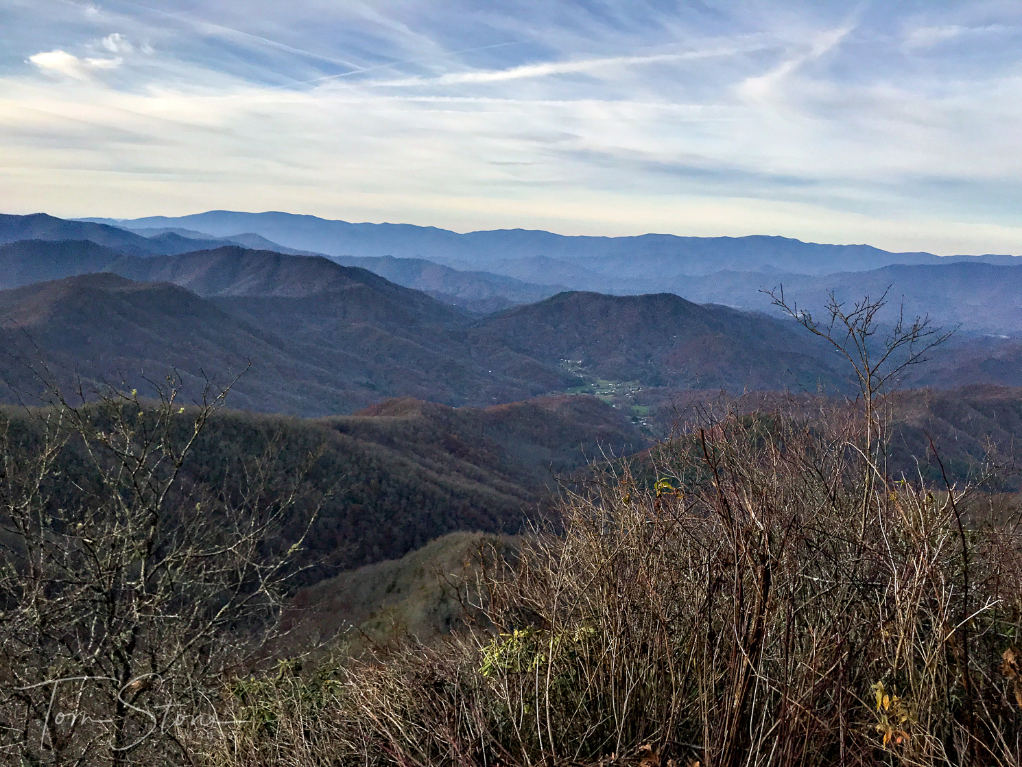
West View from Wesser Bald Observation Tower
Views from the train
GSMNP Backpack Day 6 - June 28, 2014 - View Downstream of Fontana Dam
#greatsmokeymountains #nationalpark #view #northcarolina #roadtrip
Views from the train
First Light
Views from the train

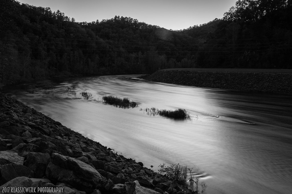
View from the Dam

Our sunset view from the Parsons' cabin in #brysoncity #northcarolina #ttot #nofilter

a view from a bridge
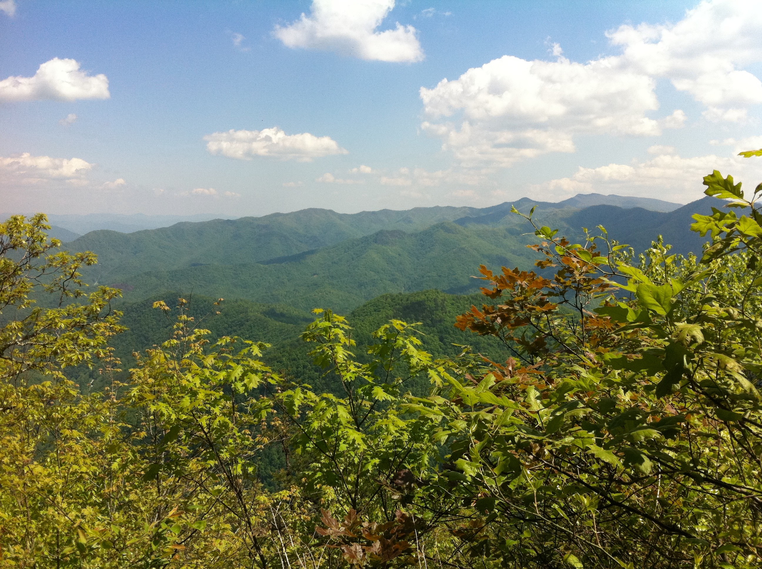
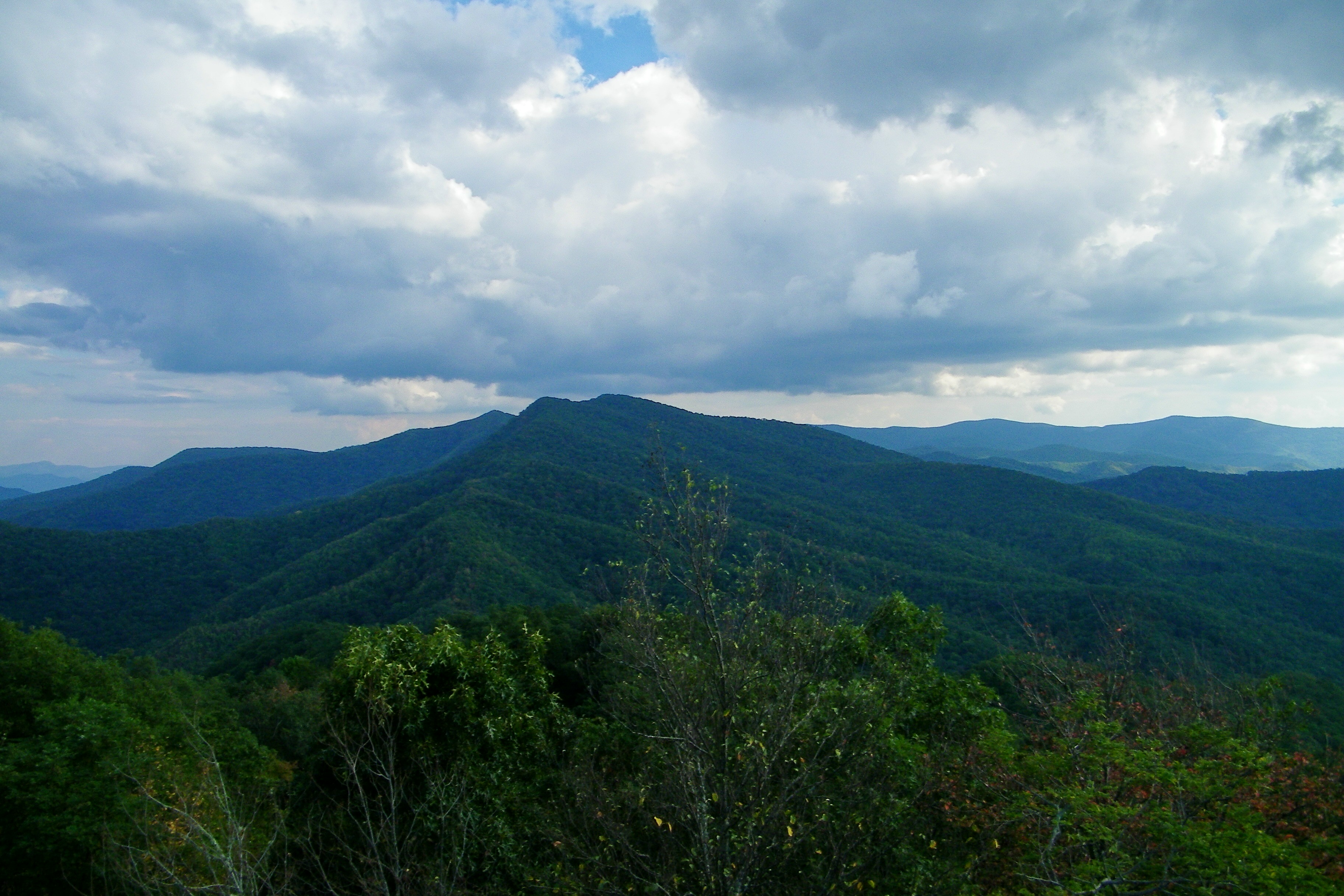
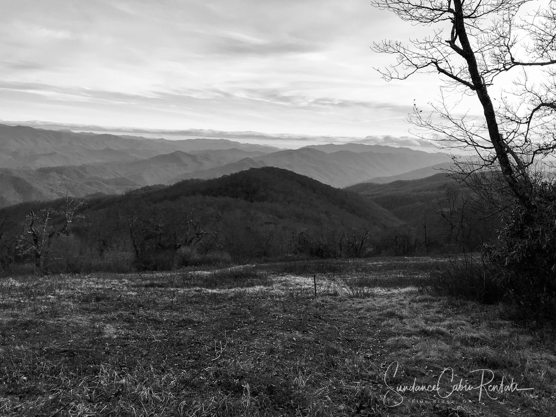
Cheoah Bald
Cheroah Bald on AT
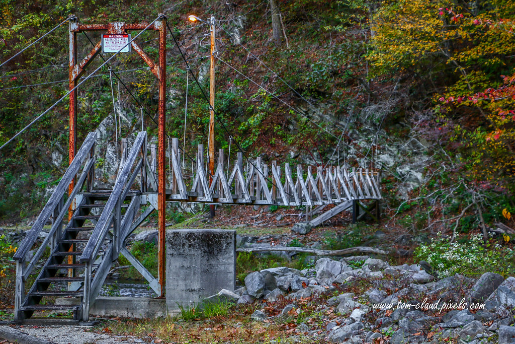
Restricted Footbridge
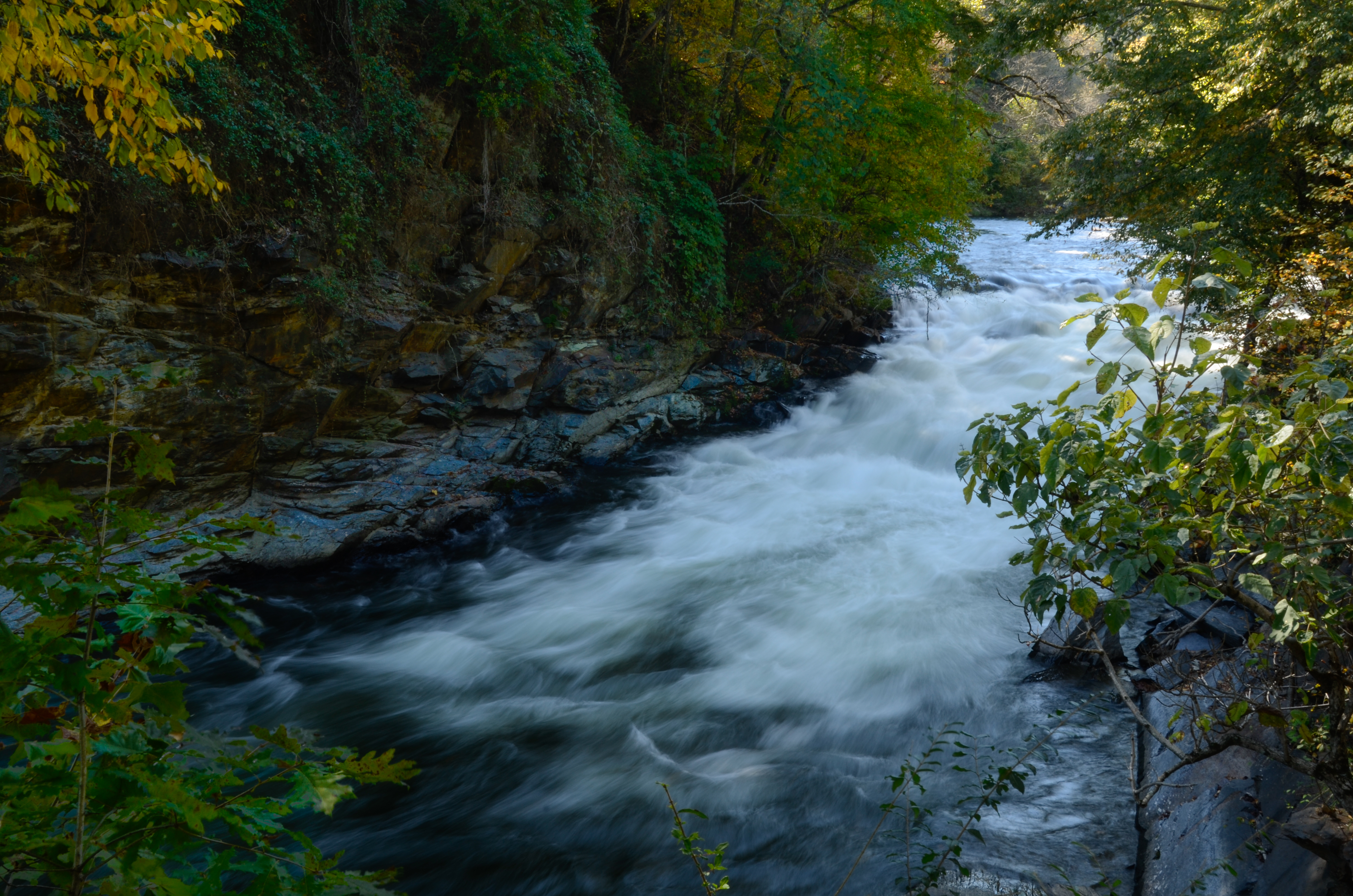
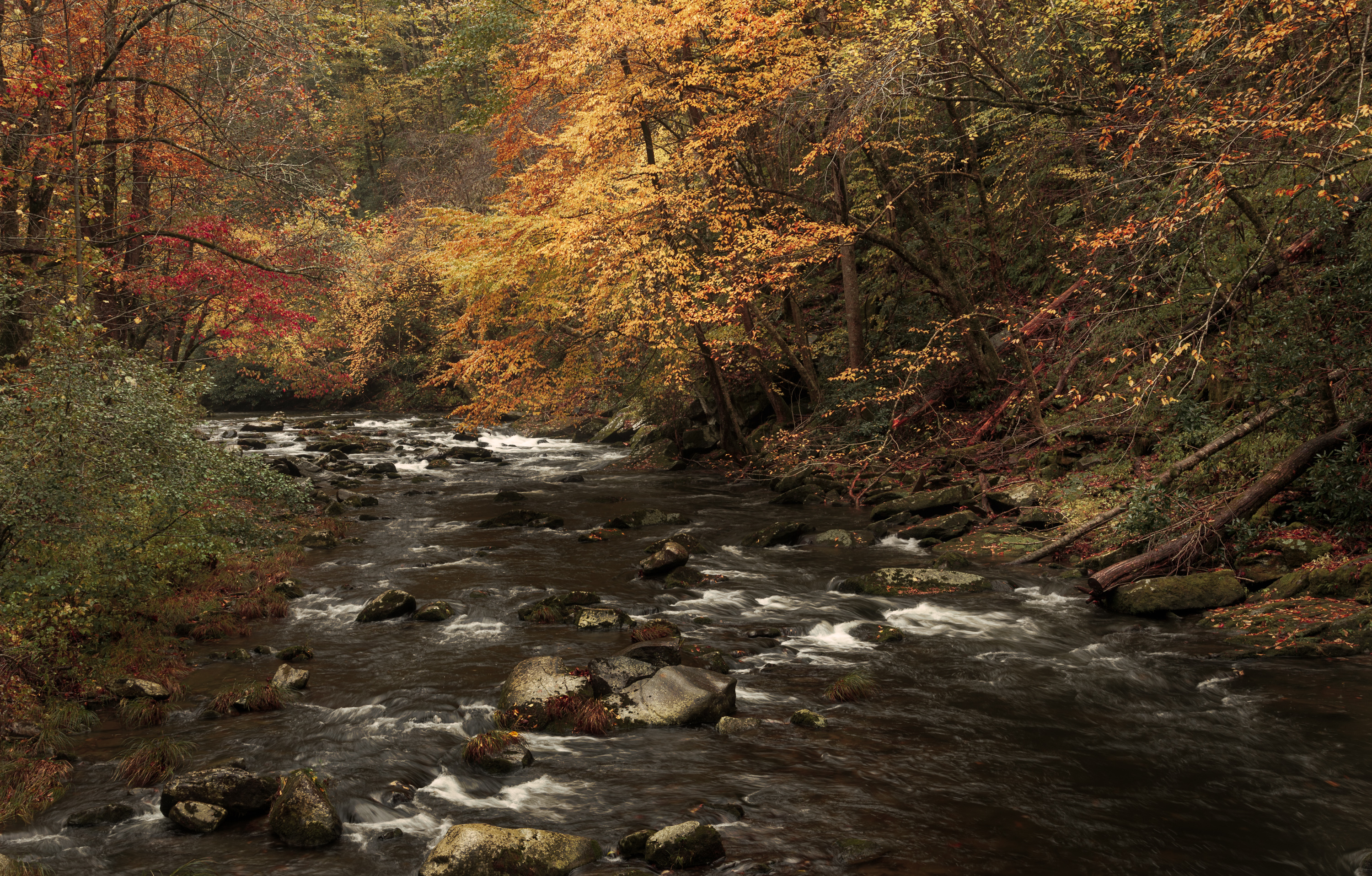
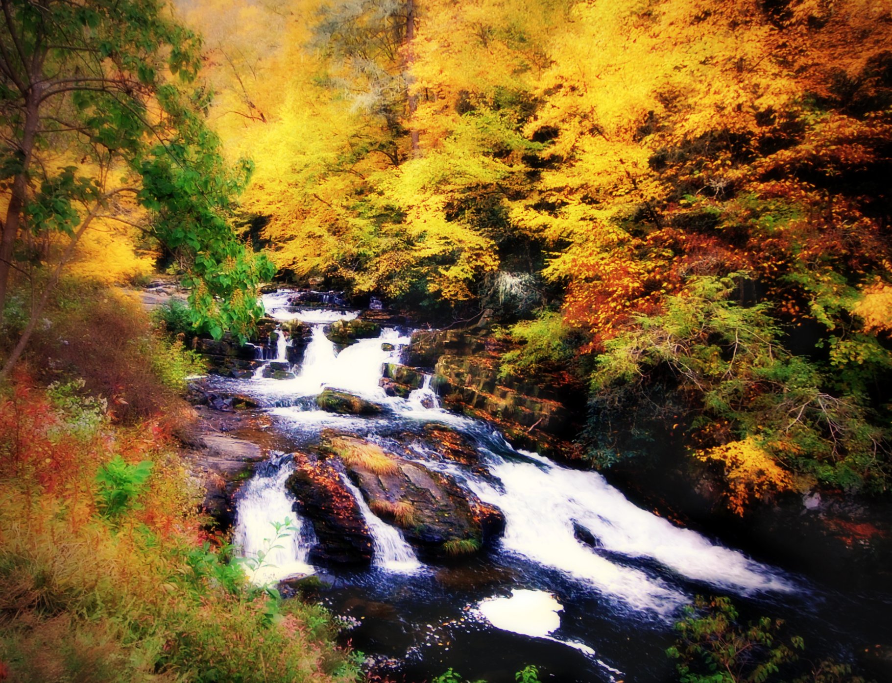
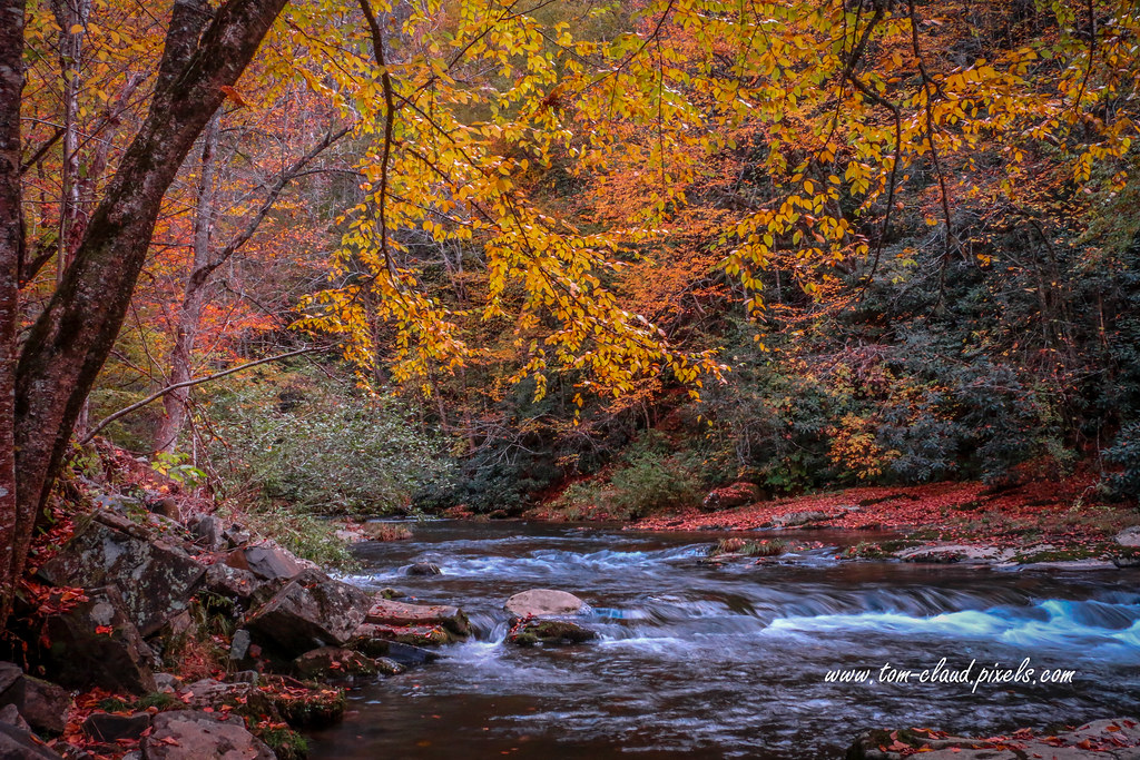
Autumn Mountain Stream
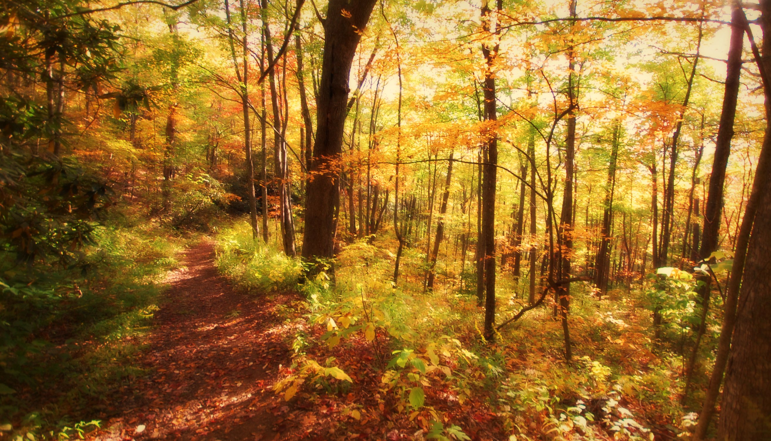
Once the leaves are gone. . .

GSMR Rounding The Bend
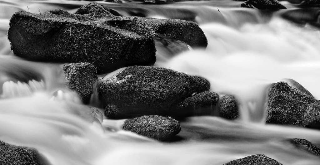
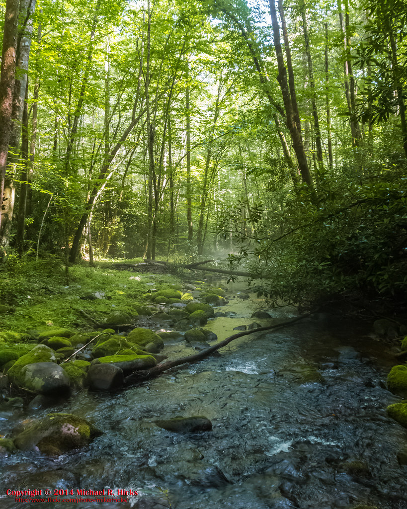
Home Wet Home
Well, this is obviously going to be popular
Wesser Bald Jeep Trail
Nantahala Gorge

Indian Creek Falls, not Horse Shoe Falls
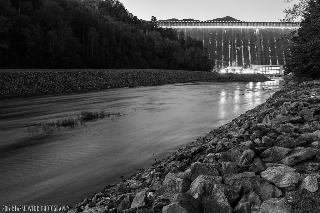
Fontana Dam 3 of 17
Fontana Dam 2 of 17
GSMNP Backpack Day 6 - June 28, 2014 - Approaching Fontana Dam

Little Tennessee
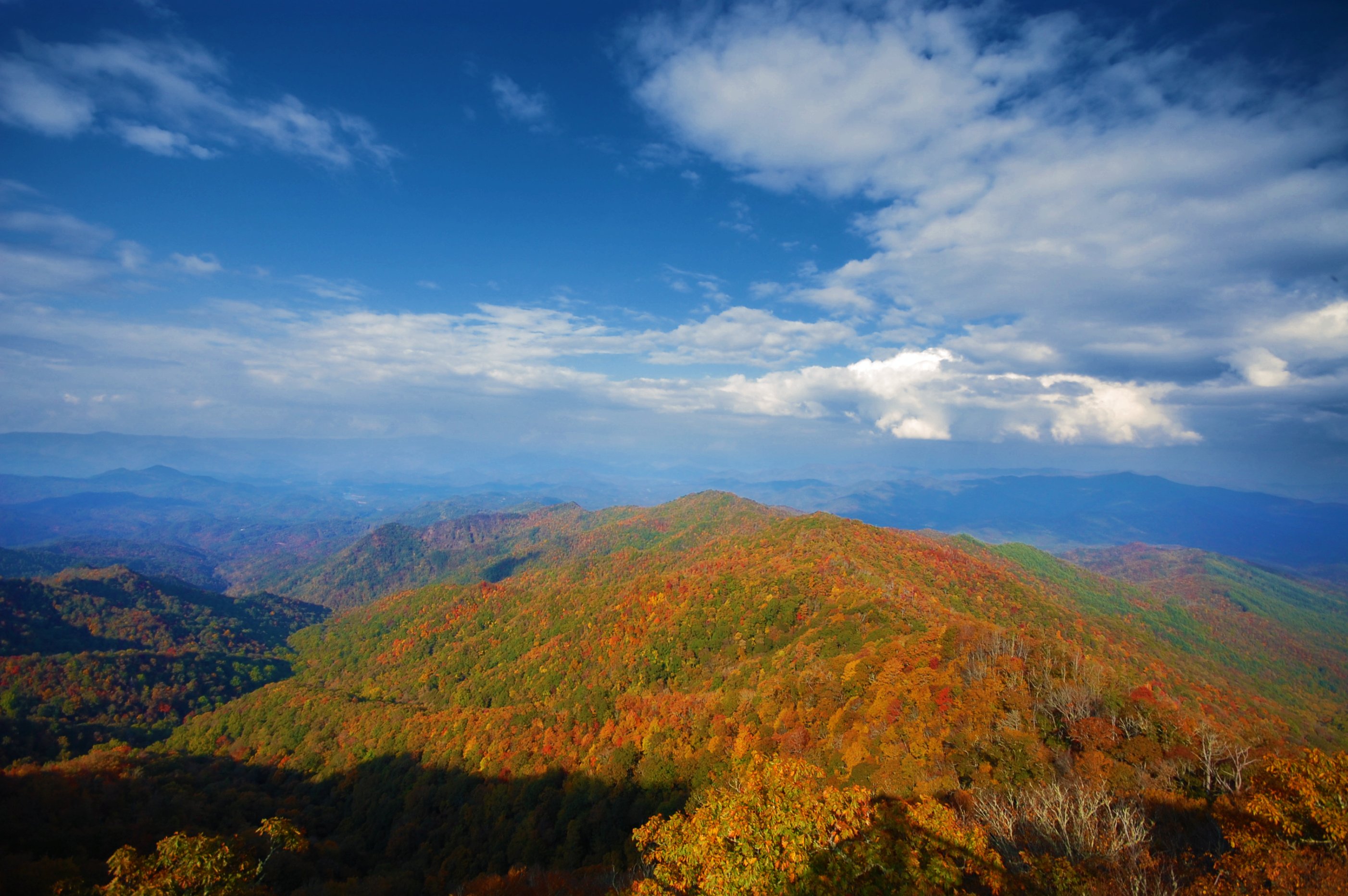
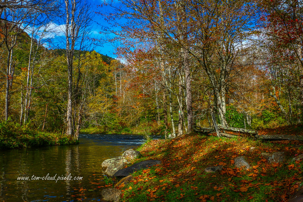
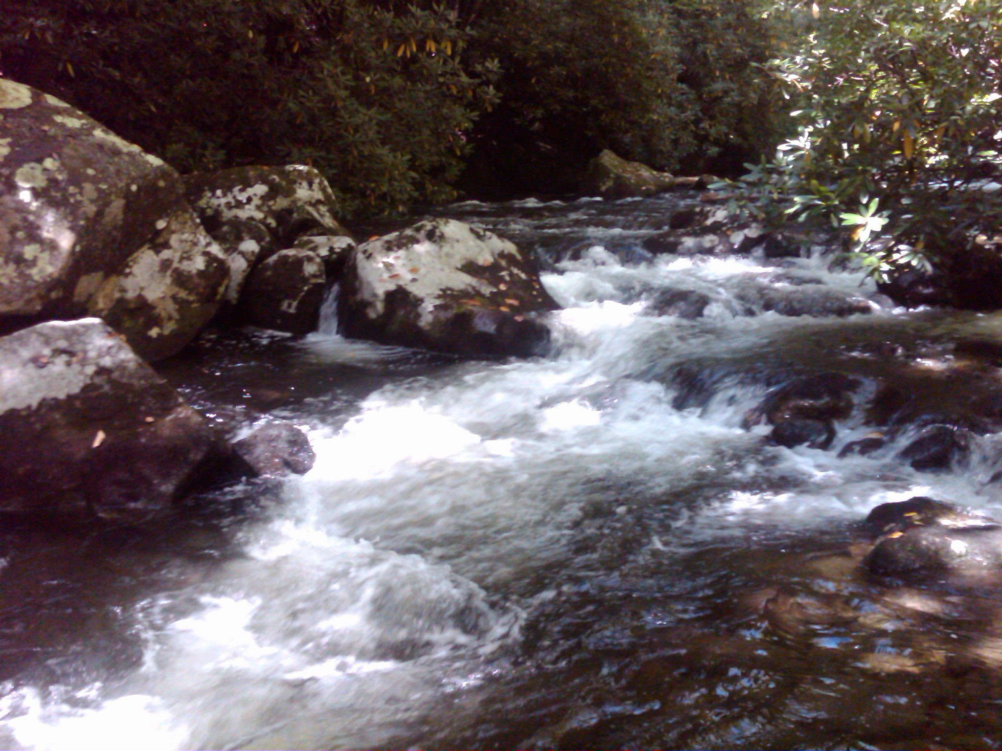
Colorful Mountain Stream
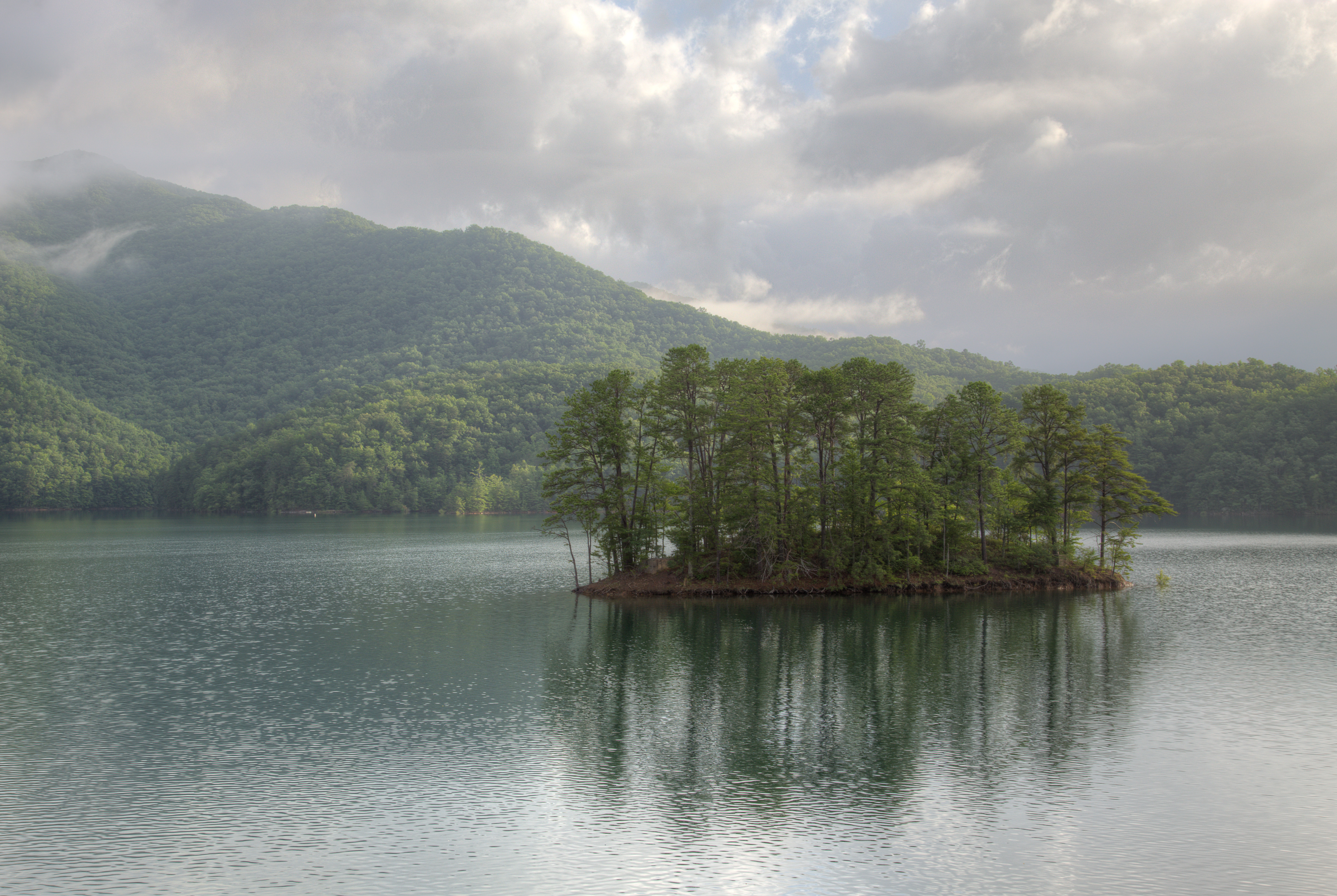
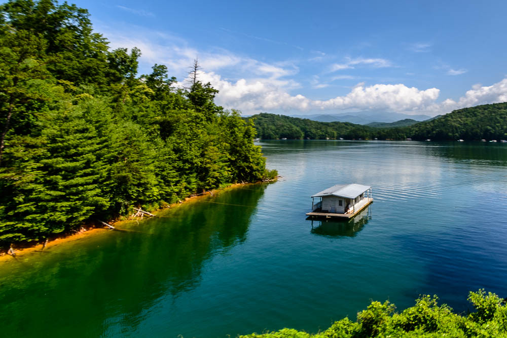
Fontana Dam Island
Forney creek day one
GSMNP Backpack Day 5 - June 27, 2014 - Eagle Creek Campsite #96
GSMNP Backpack Day 5 - June 27, 2014 - Eagle Creek Campsite #96
Topographic Map of Briggs Cove Rd, Robbinsville, NC, USA
Find elevation by address:

Places near Briggs Cove Rd, Robbinsville, NC, USA:
Briggs Cove Road
644 Mission Mountain
44 Dog Hollow
840 Mission Mountain
371 Everet Jenkins Rd
466 Stecoah Heights Rd
386 Stecoah Heights Rd
299 Stecoah Heights Rd
296 Stecoah Heights Rd
336 Stecoah Gap Rd
299 Stecoah Heights
13 Stecoah Heights
406 Pleasantview Ln
188 Hidden Valley Rd
1582 Lower Sawyers Creek Rd
White Oak Road
520 Whiteside Gap Rd
64 Goldfinch Ln
413 Tuskeegee Acres
85 Hubble Ln
Recent Searches:
- Elevation of Redondo Ave, Long Beach, CA, USA
- Elevation of Sadovaya Ulitsa, 20, Rezh, Sverdlovskaya oblast', Russia
- Elevation of Ulitsa Kalinina, 79, Rezh, Sverdlovskaya oblast', Russia
- Elevation of 72-31 Metropolitan Ave, Middle Village, NY, USA
- Elevation of 76 Metropolitan Ave, Brooklyn, NY, USA
- Elevation of Alisal Rd, Solvang, CA, USA
- Elevation of Vista Blvd, Sparks, NV, USA
- Elevation of 15th Ave SE, St. Petersburg, FL, USA
- Elevation of Beall Road, Beall Rd, Florida, USA
- Elevation of Leguwa, Nepal