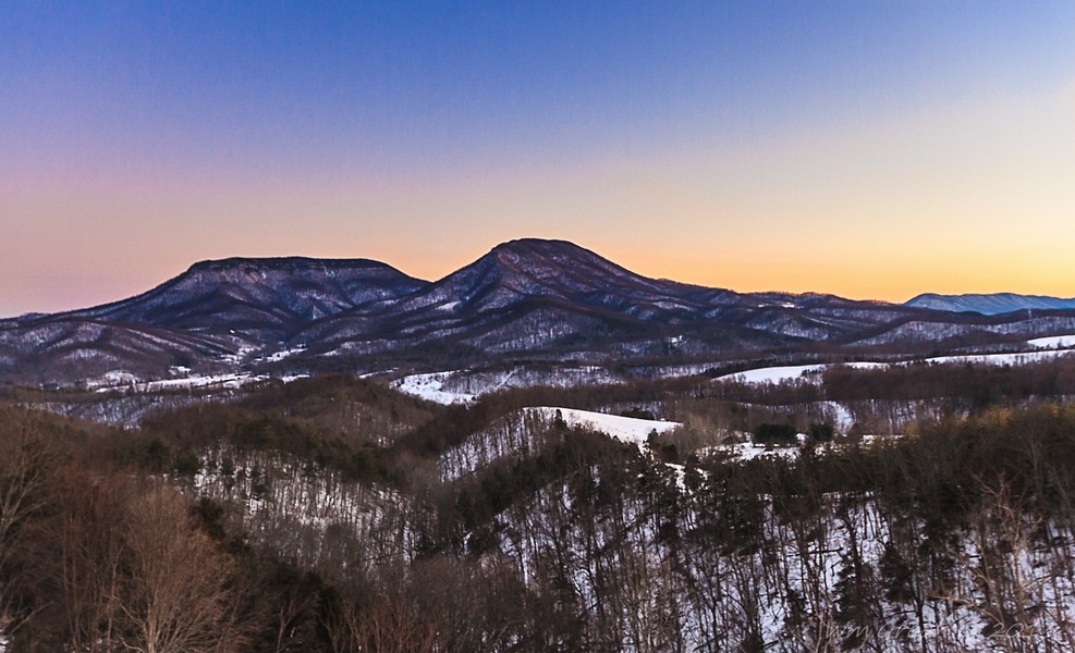
Elevation of Big House Mountain, Kerrs Creek, VA, USA
Location: United States > Virginia > Rockbridge County > Kerrs Creek >
Longitude: -79.561986
Latitude: 37.8309635
Elevation: 1102m / 3615feet
Barometric Pressure: 89KPa
Elevation Map:
Satellite Map:
Related Photos:

General Marshall Views Drawings at the International Art Exchange, October 25, 1949

Pastures of Plenty on Old Farm Road

Washington and Lee University - View from Near Lee Chapel

A Night at the Movies

Current Rockbridge County Courthouse,Lexington VA

Virginia: Cowpasture River

Front View Of The Current Rockbridge County Courthouse

Distant View Of The Current Rockbridge County Courthouse

Current Rockbridge County Courthouse

Current Rockbridge County Courthouse

Sunday Afternoon in Lexington

Looking North on Main Street, Lexington, VA

RAD20130126.22 VMI Parade & Barracks

view in Rockbridge County, Virginia

Virginia: The Cowpasture River

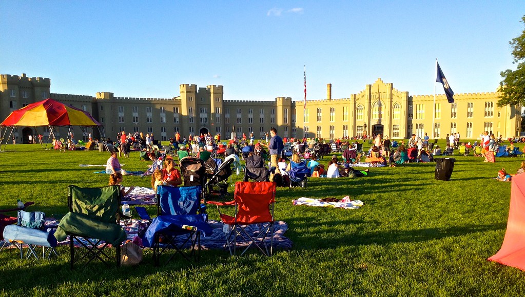
Parade Grounds at Virginia Military Institute

1401 Lt. Gen. Thomas Jonathan Stonewall Jackson Img_22724

view at VMI - Lexington, Virginia

view in Rockbridge County, Virginia

RAD20130126.13 Letcher Avenue

RAD20130126.10 Letcher Avenue

Overcast Autumn Day in Goshen Pass
Rockbridge County Va.

Maury River, Goshen Pass, Goshen Pass State Natural Area, Rockbridge County, Virginia 1

2007.07.04.05935 Fireworks at Virginia Military Institute

Maury River, Goshen Pass, Goshen Pass State Natural Area, Rockbridge County, Virginia 3

Maury River in Goshen Pass - Goshen, VA
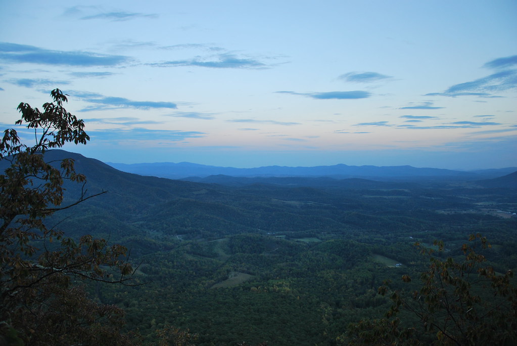
View from North Mountain

House Mountain Inn
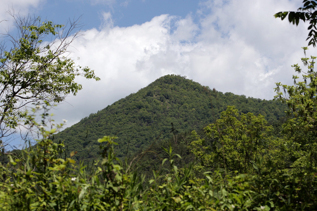
Mountian top peak

Day 243 -- After the storm

Low Clouds in Goshen Pass

Maury in March

Scouting Goshen Pass
2007.07.04.05945 Fireworks at Virginia Military Institute

Fishermen on the Maury River in Goshen Pass - Goshen, VA

Hidden Waterfall

Footbridge Over the Maury River in Goshen Pass - Goshen, VA

Goshen Pass - Goshen, VA
2014.07.04.01 VMI Independence Day
Topographic Map of Big House Mountain, Kerrs Creek, VA, USA
Find elevation by address:

Places near Big House Mountain, Kerrs Creek, VA, USA:
House Mountain Inn
135 Mountain Ridge Trail
Sehorn Hollow Road
Kerrs Creek
Rockbridge County
745 Honey Hollow Rd
Jacktown Road
302 Spring Farm Rd
822 Turnpike Rd
Saddlebrook Road
Kerrs Creek
Gilmer Creek Ln, Lexington, VA, USA
Rockbridge Alum Springs - A Young Life Camp
54 Irish Bank Ct
550 Adair Hill
1476 Fredericksburg Rd
29 Pond View Ln
Millboro
6972 Cowpasture River Hwy
7318 Cowpasture River Hwy
Recent Searches:
- Elevation of Elwyn Dr, Roanoke Rapids, NC, USA
- Elevation of Congressional Dr, Stevensville, MD, USA
- Elevation of Bellview Rd, McLean, VA, USA
- Elevation of Stage Island Rd, Chatham, MA, USA
- Elevation of Shibuya Scramble Crossing, 21 Udagawacho, Shibuya City, Tokyo -, Japan
- Elevation of Jadagoniai, Kaunas District Municipality, Lithuania
- Elevation of Pagonija rock, Kranto 7-oji g. 8"N, Kaunas, Lithuania
- Elevation of Co Rd 87, Jamestown, CO, USA
- Elevation of Tenjo, Cundinamarca, Colombia
- Elevation of Côte-des-Neiges, Montreal, QC H4A 3J6, Canada