Elevation of Biebrzański Park Narodowy, Poland
Location: Poland > Podlaskie Voivodeship > Mońki County > Gmina Goniądz >
Longitude: 22.8194423
Latitude: 53.5894175
Elevation: 109m / 358feet
Barometric Pressure: 100KPa
Elevation Map:
Satellite Map:
Related Photos:

***

***

***

Evening meadow

***

***

***

***

***

Evening meadow

***

***

#Biebrza #river #fields #landscape #podlasie #polska #poland #igpoland #nature

***
***

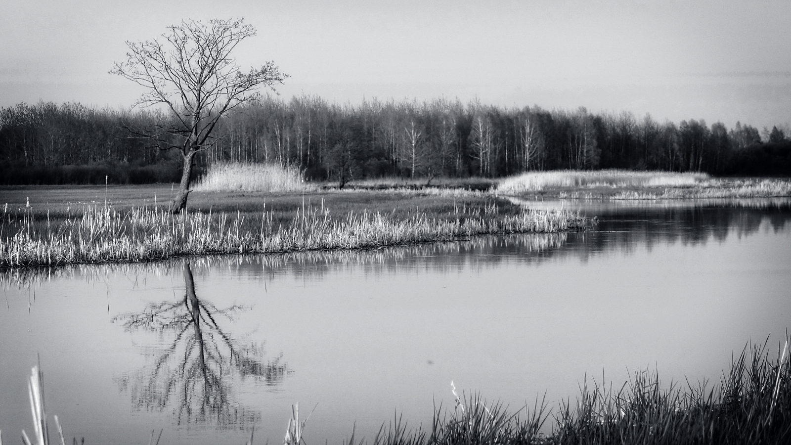
Twilight in the meadow

***

Evening meadow

***

***

***
Topographic Map of Biebrzański Park Narodowy, Poland
Find elevation by address:

Places near Biebrzański Park Narodowy, Poland:
Gmina Goniądz
Goniądz
Wigry Lake
Kalvarija
Natalina
Lazdijai District Municipality
Virbalis
Vilkaviškis District Municipality
Kybartų St. Alexander Nevsky Cathedral
Veisiejų Seniūnija
Krosna
Patunkiškiai
Vilkaviškis
Sakniava
Marijampolė
Meškėnai
Penkvalakiai
Marijampolė Municipality
Daukšiai
Raišupys
Recent Searches:
- Elevation of 7 Waterfall Way, Tomball, TX, USA
- Elevation of SW 57th Ave, Portland, OR, USA
- Elevation of Crocker Dr, Vacaville, CA, USA
- Elevation of Pu Ngaol Community Meeting Hall, HWHM+3X7, Krong Saen Monourom, Cambodia
- Elevation of Royal Ontario Museum, Queens Park, Toronto, ON M5S 2C6, Canada
- Elevation of Groblershoop, South Africa
- Elevation of Power Generation Enterprises | Industrial Diesel Generators, Oak Ave, Canyon Country, CA, USA
- Elevation of Chesaw Rd, Oroville, WA, USA
- Elevation of N, Mt Pleasant, UT, USA
- Elevation of 6 Rue Jules Ferry, Beausoleil, France