Elevation of Virbalis, Lithuania
Location: Lithuania > Marijampolė County > Vilkaviškis District Municipality >
Longitude: 22.8158809
Latitude: 54.6297329
Elevation: 57m / 187feet
Barometric Pressure: 101KPa
Elevation Map:
Satellite Map:
Related Photos:

View From Tower

View From Tower

Yellow Rapeseed Field

Storks in Lithuania

Storks in Lithuania

Storks in Lithuania

20080719-DSC_0207

20190815_121355 - 20190815_121358_fused

01 IMGP1560

01 IMGP1568

01 IMGP1569 Stitch

01 IMGP1572

Vilkaviškis Holocaust Memorial

02 IMGP1559

02 IMGP1556

00 Kataucizna

03 IMGP1563

03 IMGP1565

20190815_123328 Stitch

IMGP1569 Stitch

Kaliningrad, Russia

208 Mile Journey Ahead

Miniature Golf

Mom Playing Chess
Leaving Lithuania

Kevin Outside Farmstead

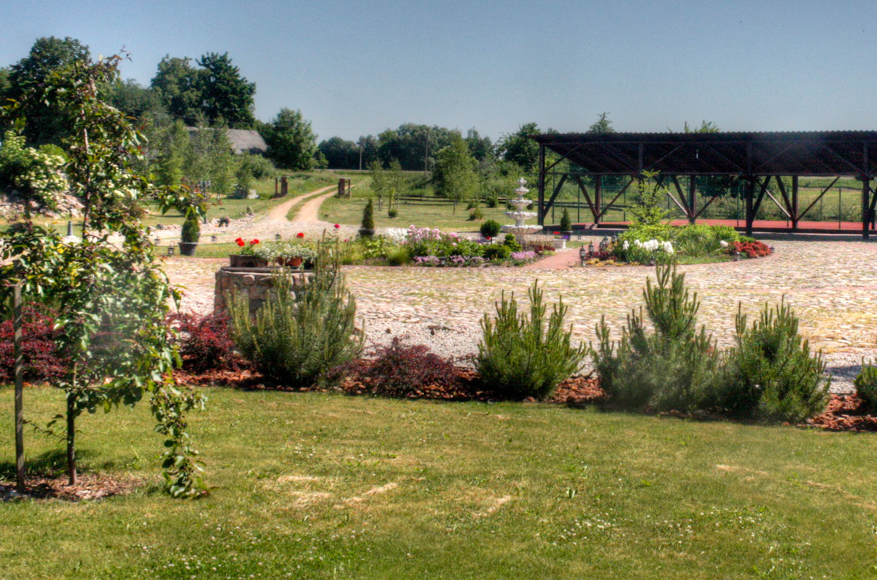
Sodyba Karaliaus Krėslas

Sodyba Karaliaus Krėslas
Topographic Map of Virbalis, Lithuania
Find elevation by address:

Places near Virbalis, Lithuania:
Kybartų St. Alexander Nevsky Cathedral
Patunkiškiai
Vilkaviškis District Municipality
Vilkaviškis
Karniai
Marijampolė County
Penkvalakiai
Kalvarija
Marijampolė
Natalina
Wigry Lake
Raišupys
Meškėnai
Marijampolė Municipality
Kazlų Rūda Municipality
Kazlų Rūda
15, Barštinė, Lithuania
Krosna
Daukšiai
Lazdijai District Municipality
Recent Searches:
- Elevation of 7 Waterfall Way, Tomball, TX, USA
- Elevation of SW 57th Ave, Portland, OR, USA
- Elevation of Crocker Dr, Vacaville, CA, USA
- Elevation of Pu Ngaol Community Meeting Hall, HWHM+3X7, Krong Saen Monourom, Cambodia
- Elevation of Royal Ontario Museum, Queens Park, Toronto, ON M5S 2C6, Canada
- Elevation of Groblershoop, South Africa
- Elevation of Power Generation Enterprises | Industrial Diesel Generators, Oak Ave, Canyon Country, CA, USA
- Elevation of Chesaw Rd, Oroville, WA, USA
- Elevation of N, Mt Pleasant, UT, USA
- Elevation of 6 Rue Jules Ferry, Beausoleil, France