Elevation of Bidar, Karnataka, India
Location: India > Karnataka > Bidar >
Longitude: 77.5046101
Latitude: 17.9148799
Elevation: 672m / 2205feet
Barometric Pressure: 94KPa
Elevation Map:
Satellite Map:
Related Photos:
Queen's Chamber
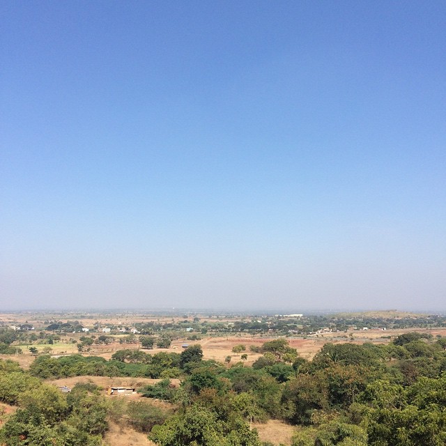
A friend I know, has this as the view he wakes up to. I'm officially jealous. :P
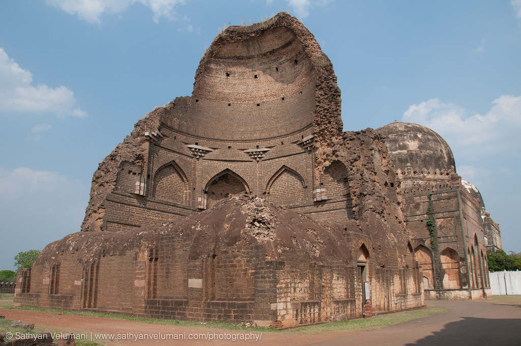
Ashtoor tombs - cross section view of a majestic tomb
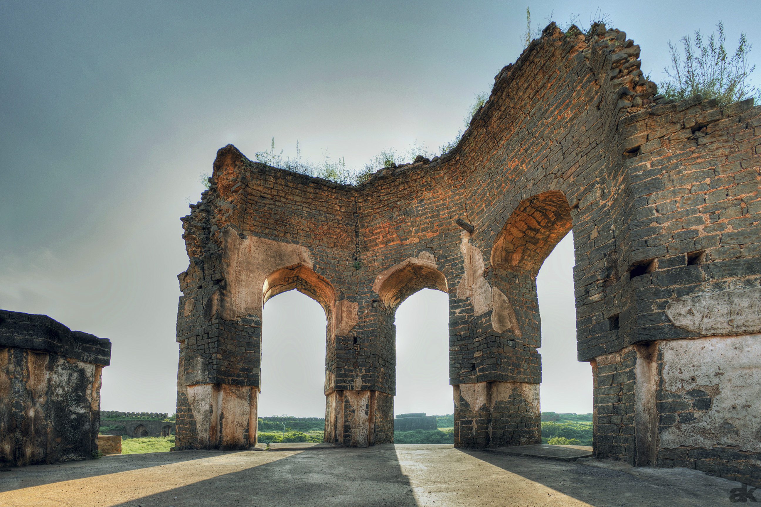
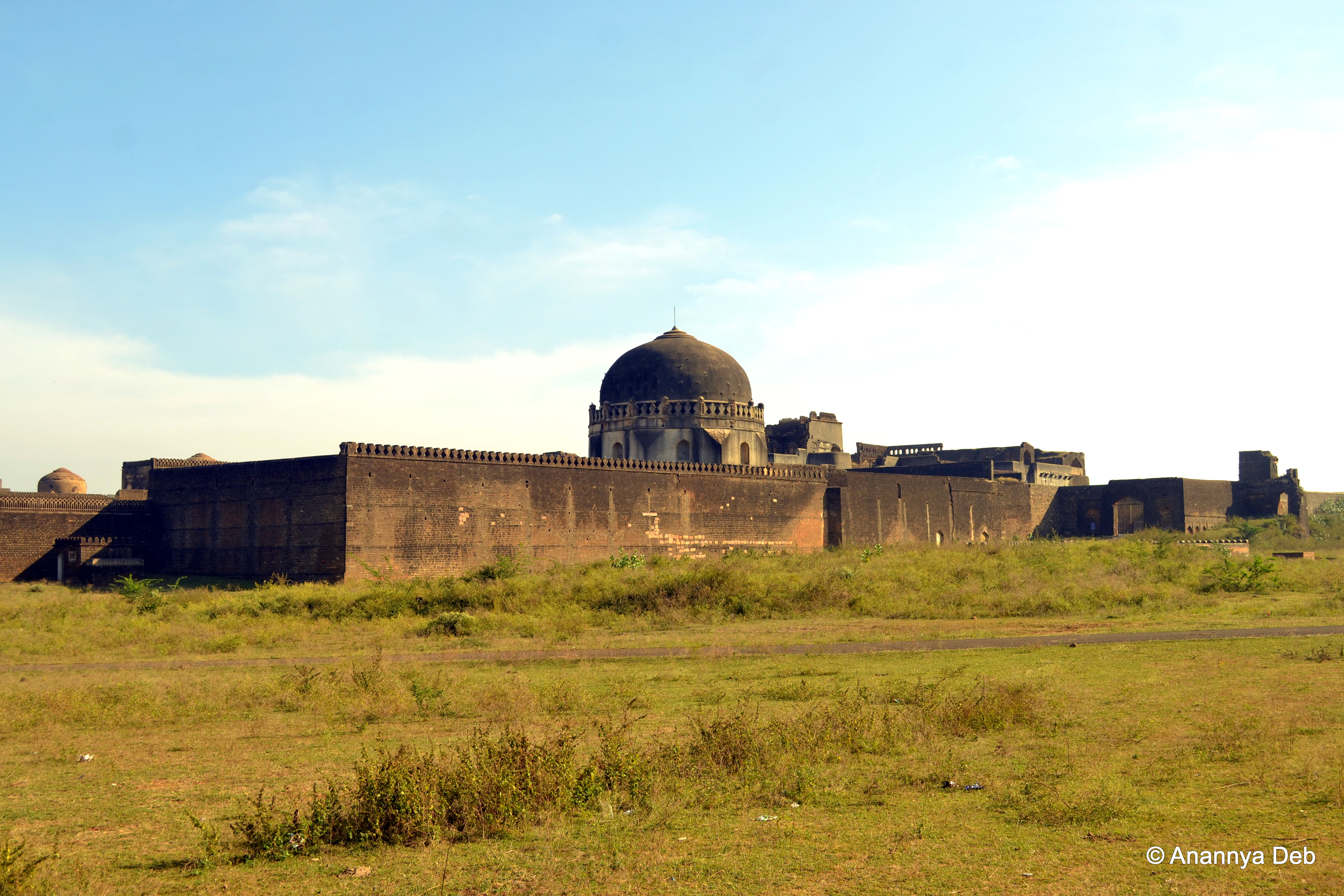
4474: Bidar Fort
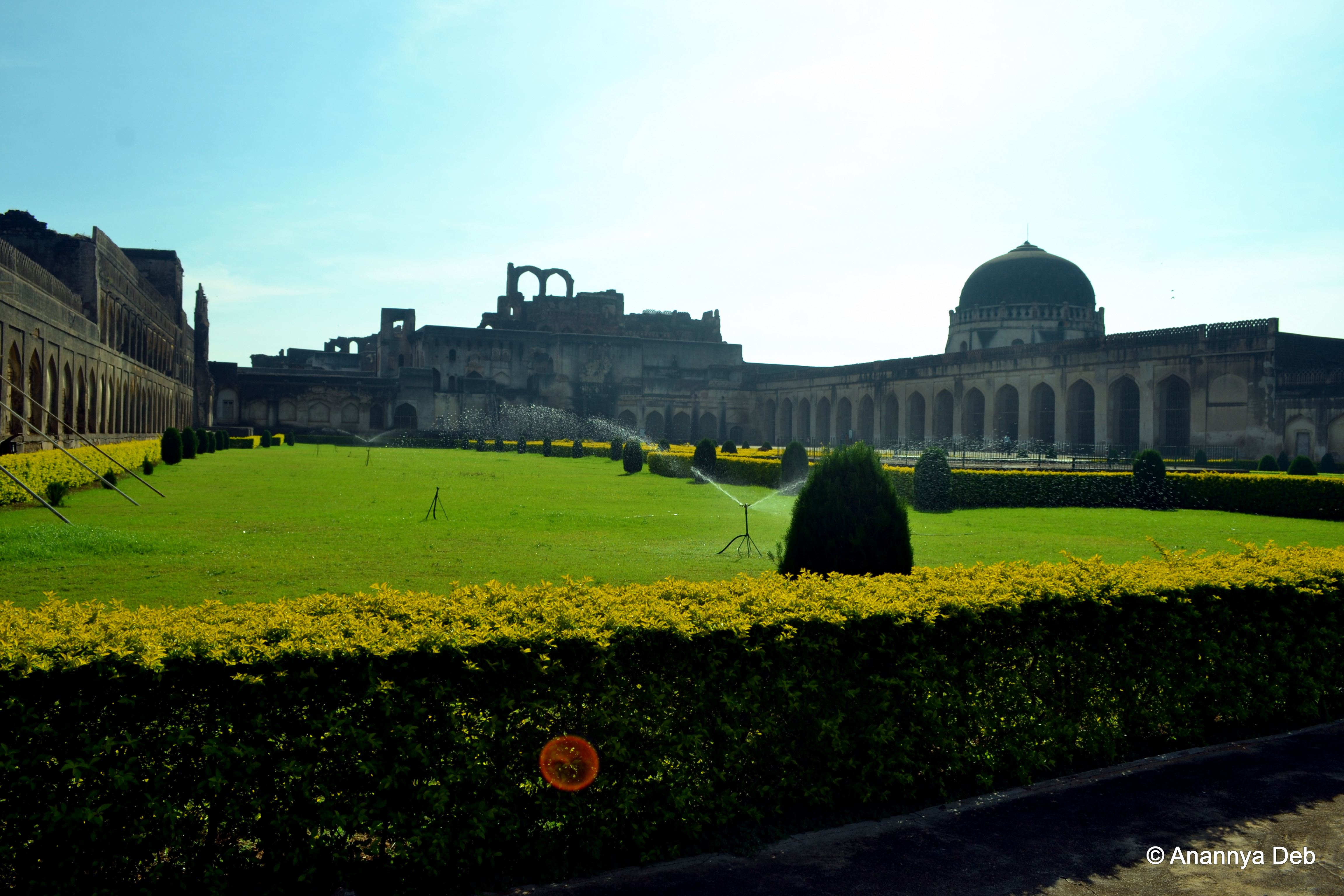
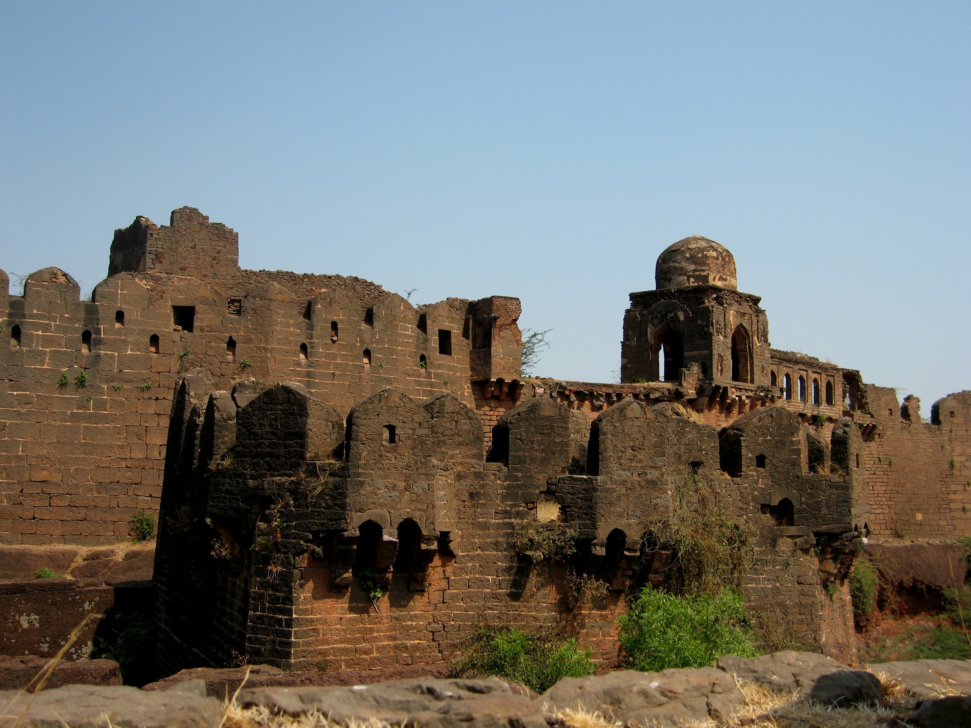
Bidar Fort, December 2013

S (5) Dawn

Sunrise- Travel photo
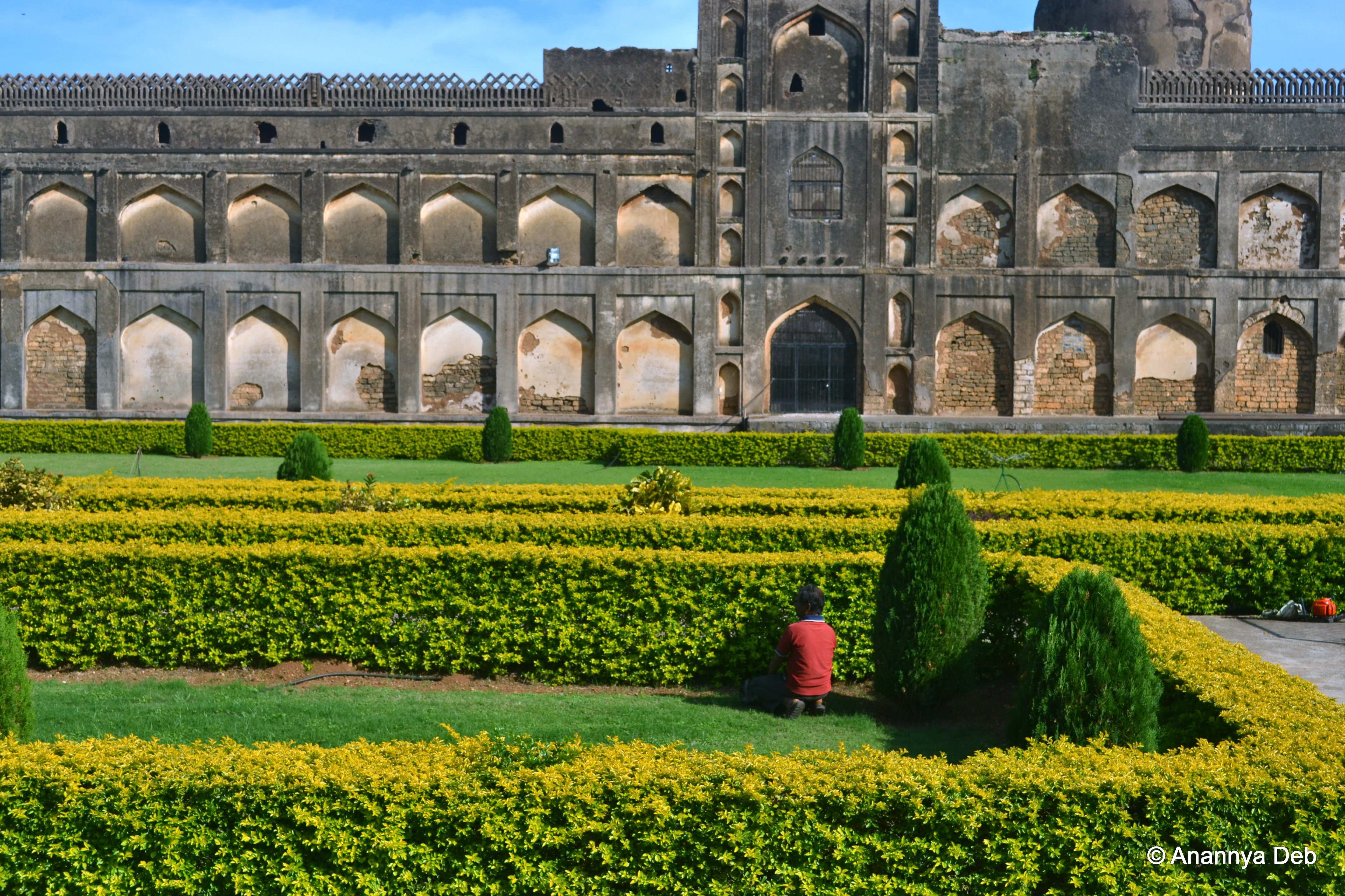
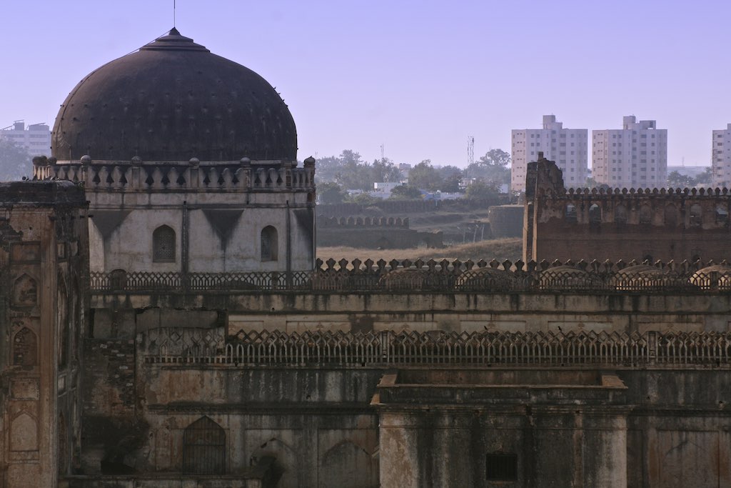
Bidar Fort, December 2013
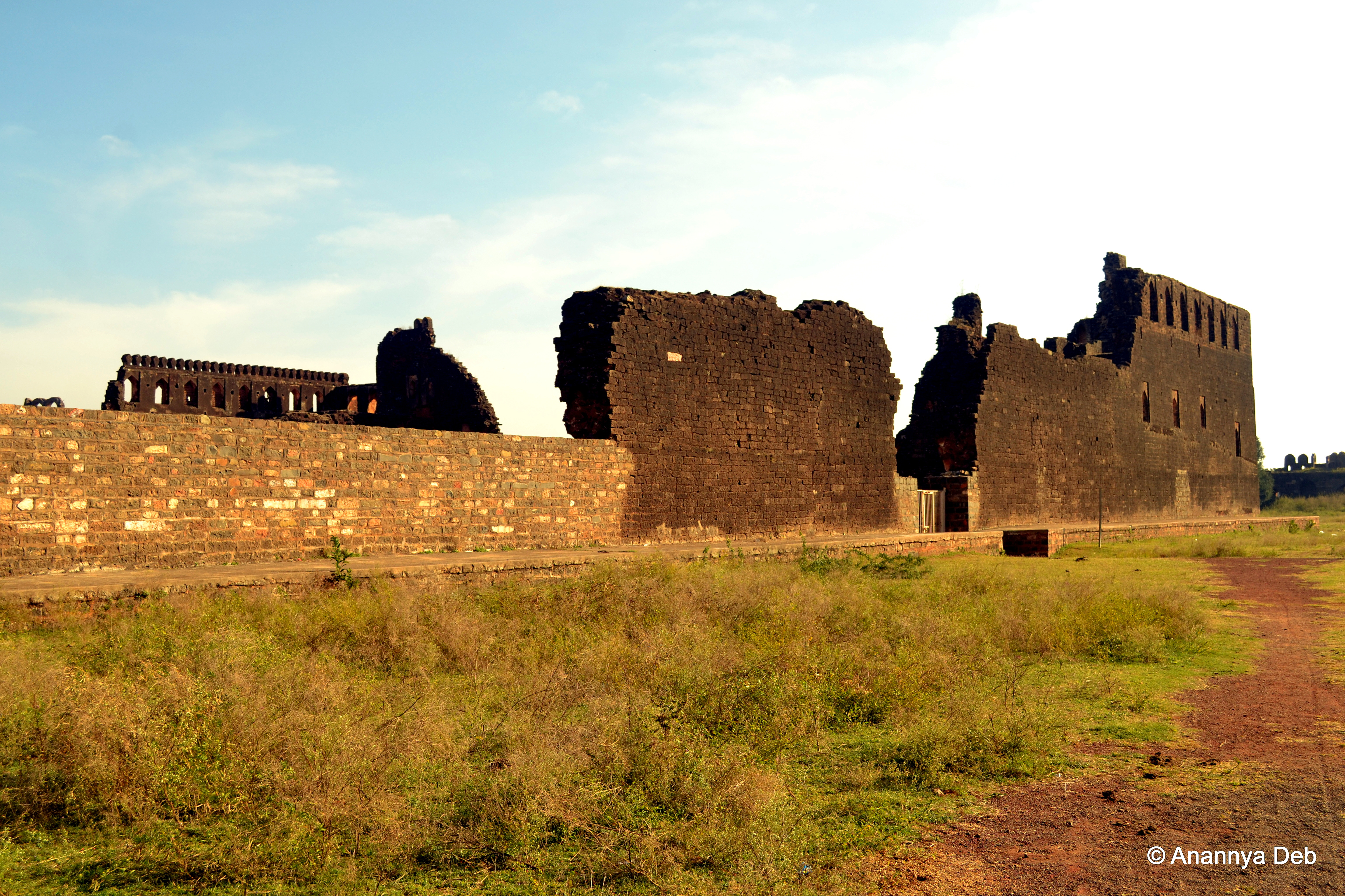
Bidar Fort, December 2013
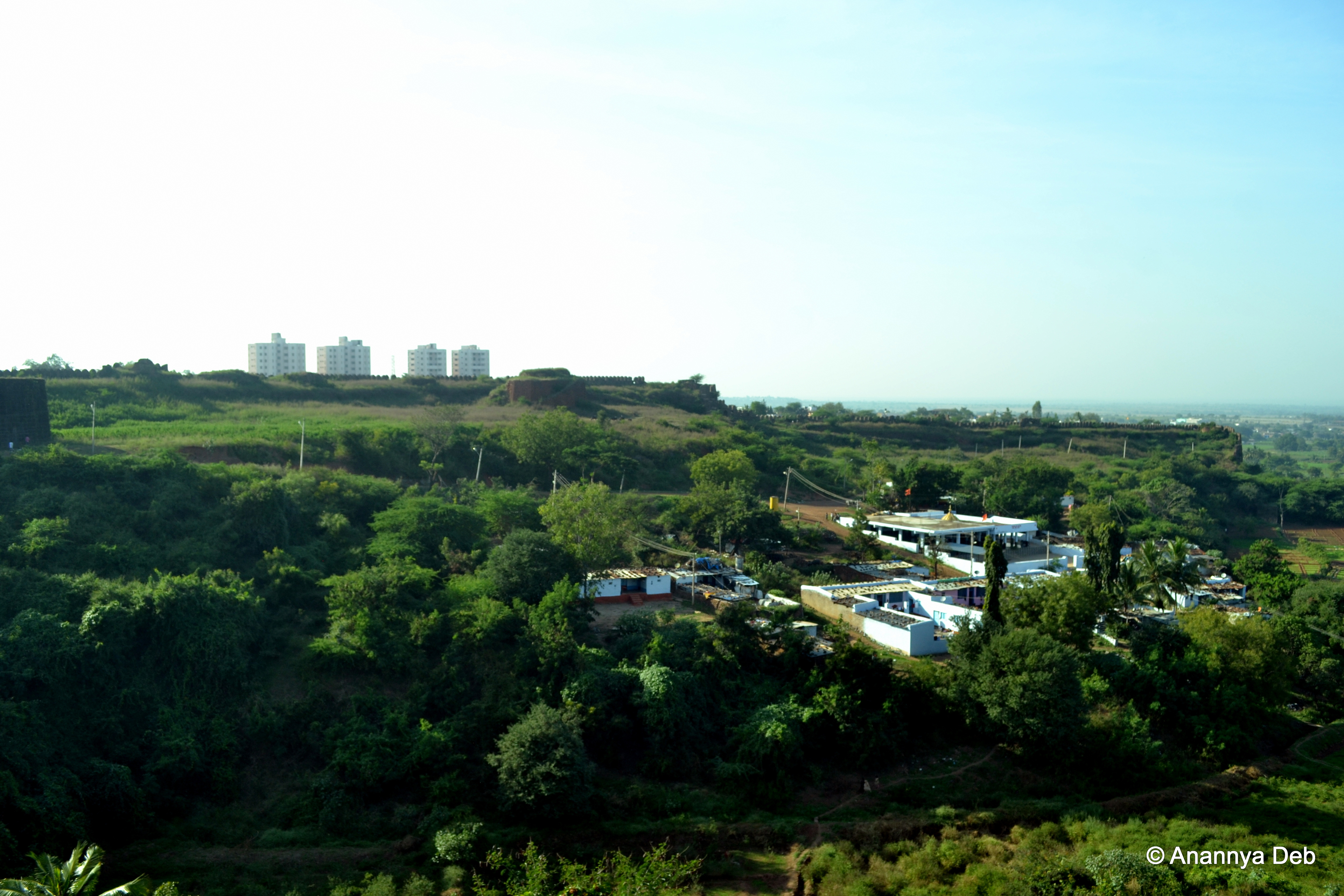
Outside Bidar's fort
Bidar Fort, December 2013
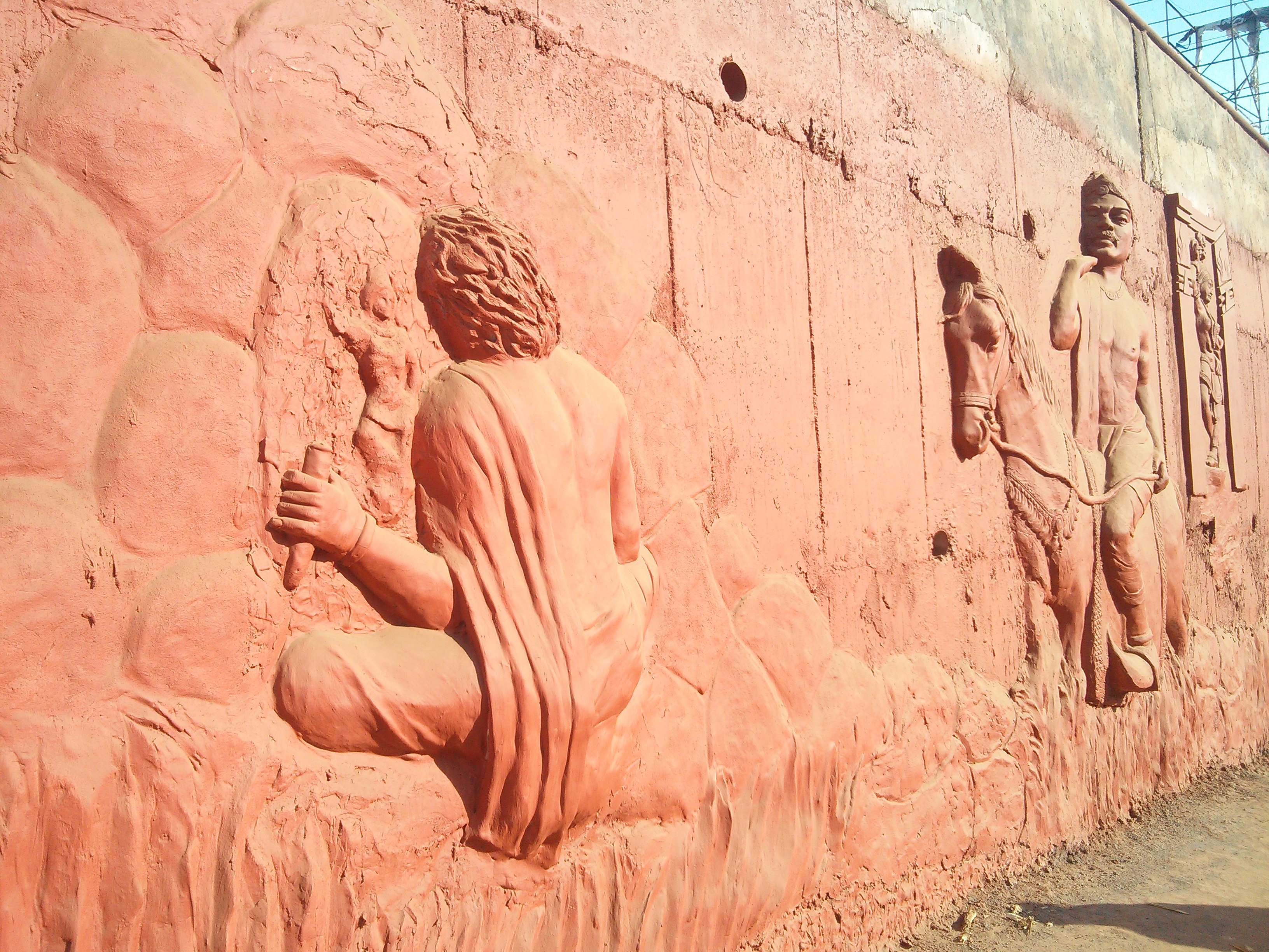
Bidar - Cement murals on main roads
Bidar, December 2013
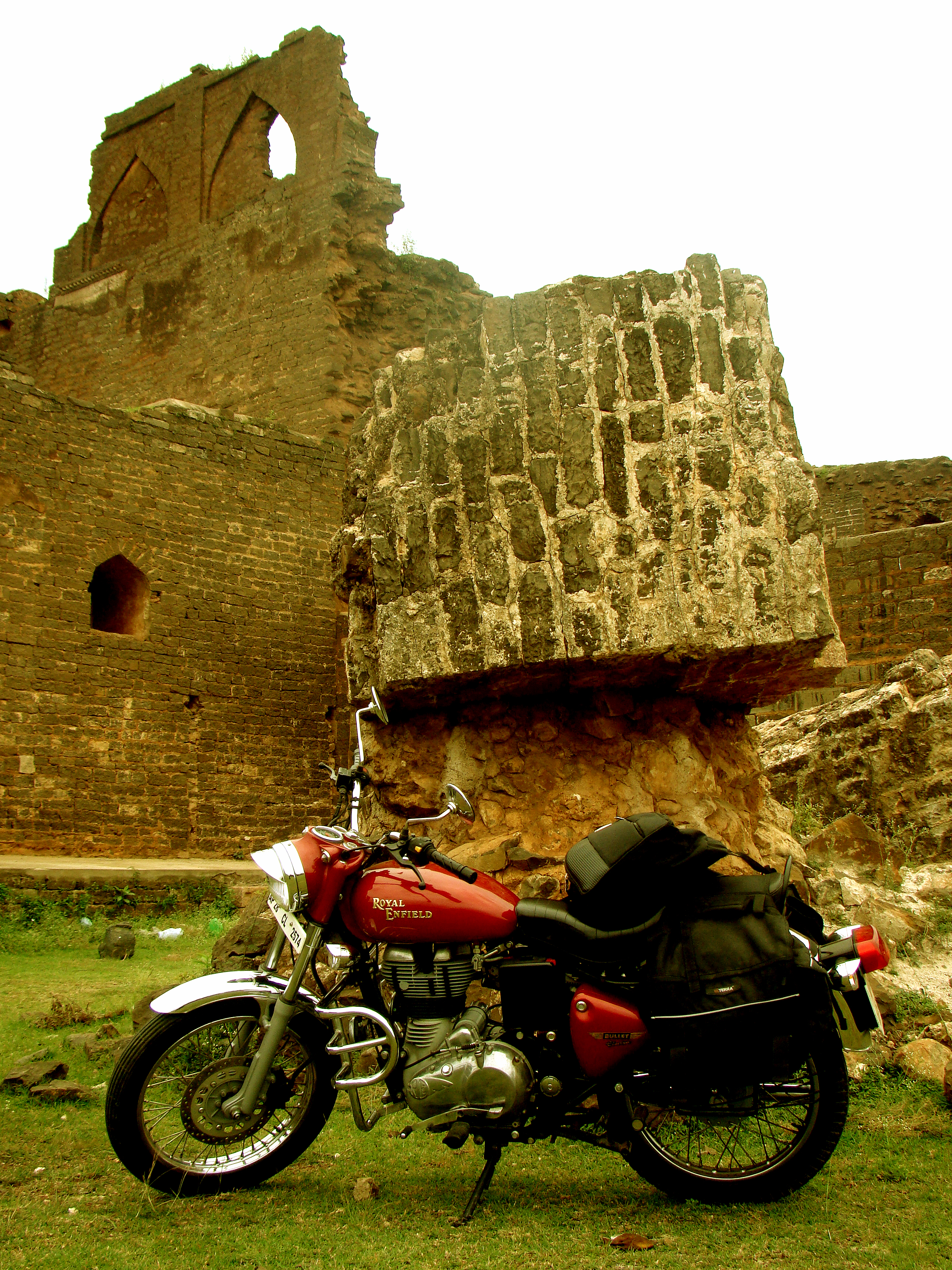
Highway Star
Topographic Map of Bidar, Karnataka, India
Find elevation by address:

Places near Bidar, Karnataka, India:
Bidar Fort
Tajlapur
Kollour
Bijinepally Salkarpet
Dhanasiri
Narayankhed
Kangti Cross Road
Kangti
Aurad
Shankarampet A
Kalher
Pitlam
Bhusareddipally
Singur Dam
Ravindra Nagar
Tekmal
4-2-97/1
Sadashivpet
Medak
Ranga Reddy
Recent Searches:
- Elevation of Elk City, OK, USA
- Elevation of Erika Dr, Windsor, CA, USA
- Elevation of Village Ln, Finleyville, PA, USA
- Elevation of 24 Oakland Rd #, Scotland, ON N0E 1R0, Canada
- Elevation of Deep Gap Farm Rd E, Mill Spring, NC, USA
- Elevation of Dog Leg Dr, Minden, NV, USA
- Elevation of Dog Leg Dr, Minden, NV, USA
- Elevation of Kambingan Sa Pansol Atbp., Purok 7 Pansol, Candaba, Pampanga, Philippines
- Elevation of Pinewood Dr, New Bern, NC, USA
- Elevation of Mountain View, CA, USA