Elevation of Benvenue Ave, Los Altos, CA, USA
Location: United States > California > Santa Clara County > Los Altos >
Longitude: -122.10187
Latitude: 37.3752413
Elevation: 51m / 167feet
Barometric Pressure: 101KPa
Elevation Map:
Satellite Map:
Related Photos:
Perfect view?

IMG_3580 Black-Crowned Night Heron

IMG_5922 Forster's Tern Hovering, Mountain View Shoreline Park, California
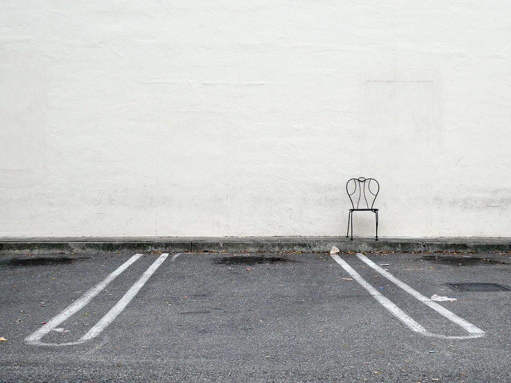
Lone Chair
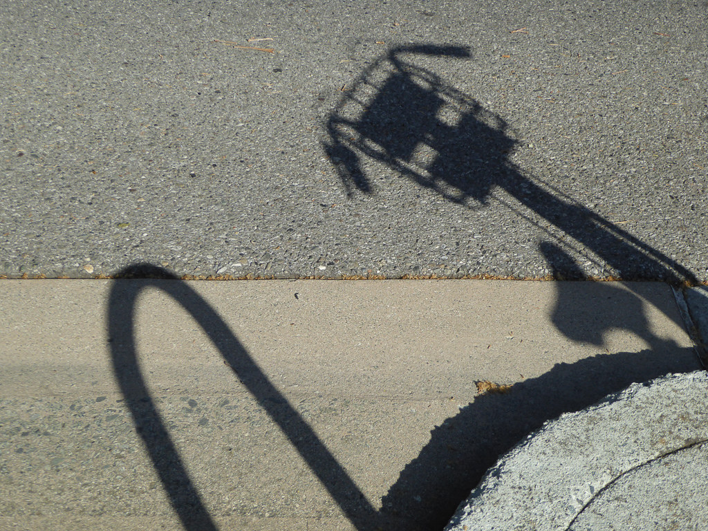
Shadow Bike

Wire Hooks
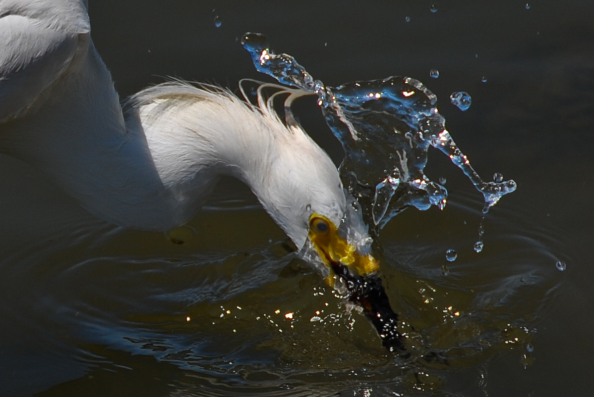
Fish On
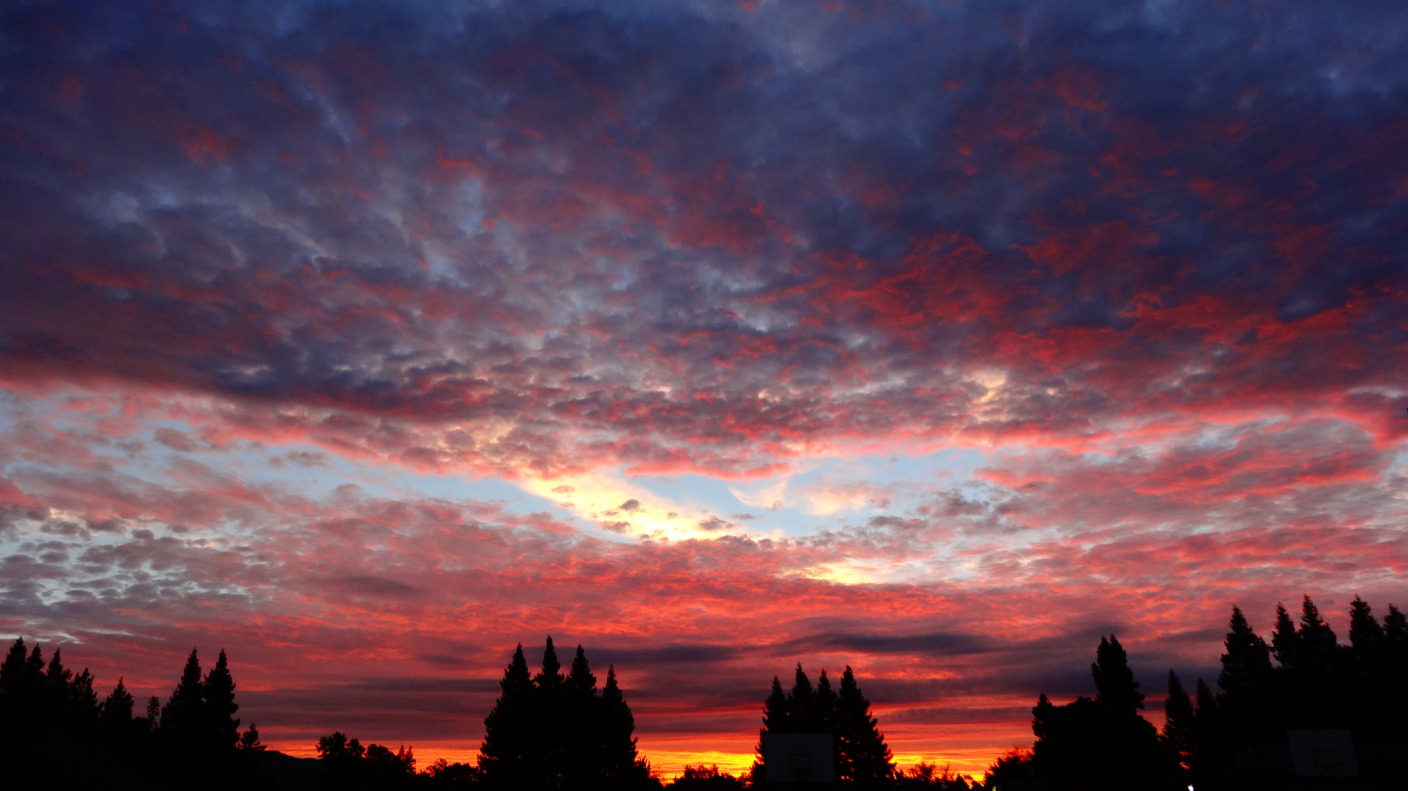
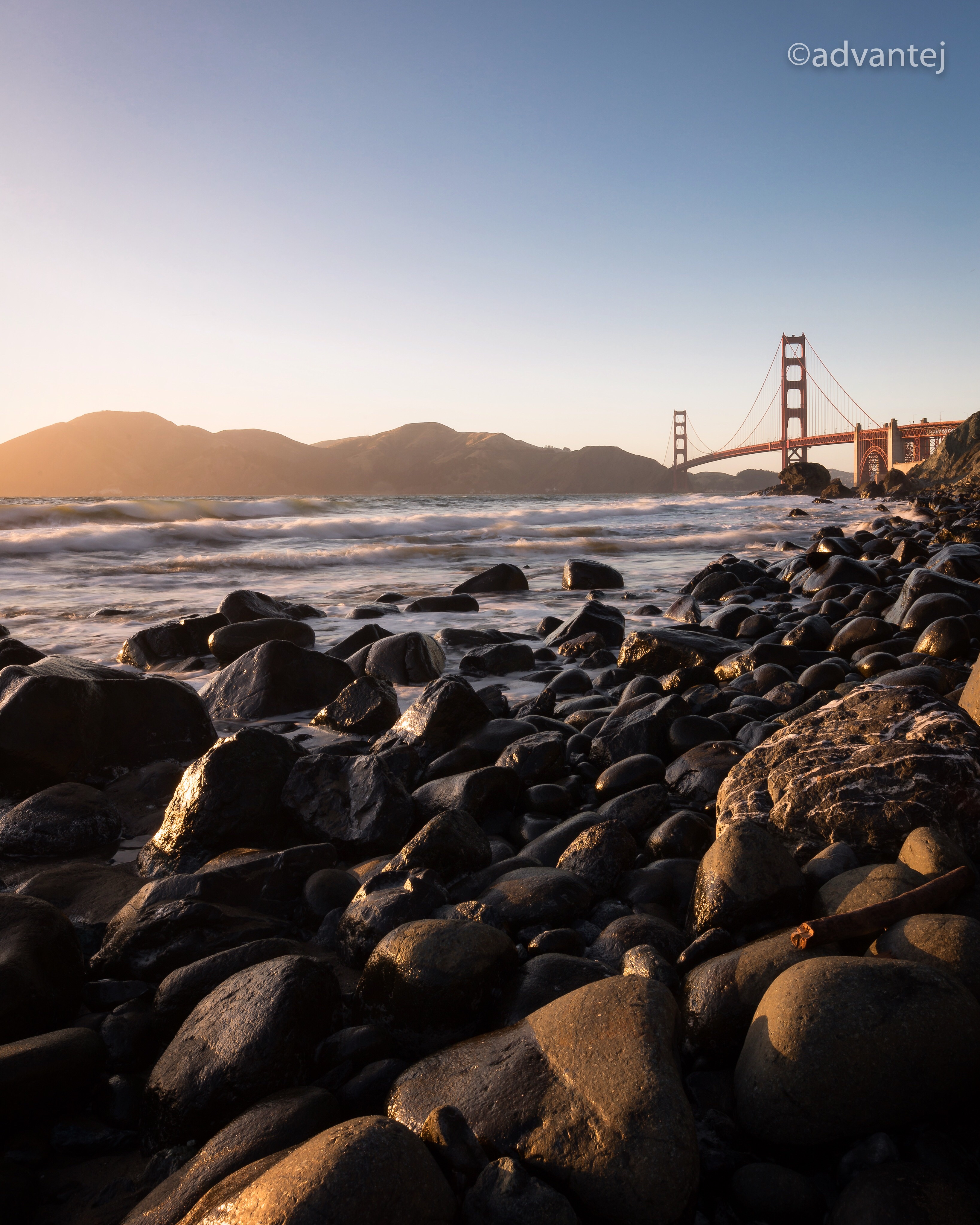
Sunset View

Break Chairs

DSC01246.JPG
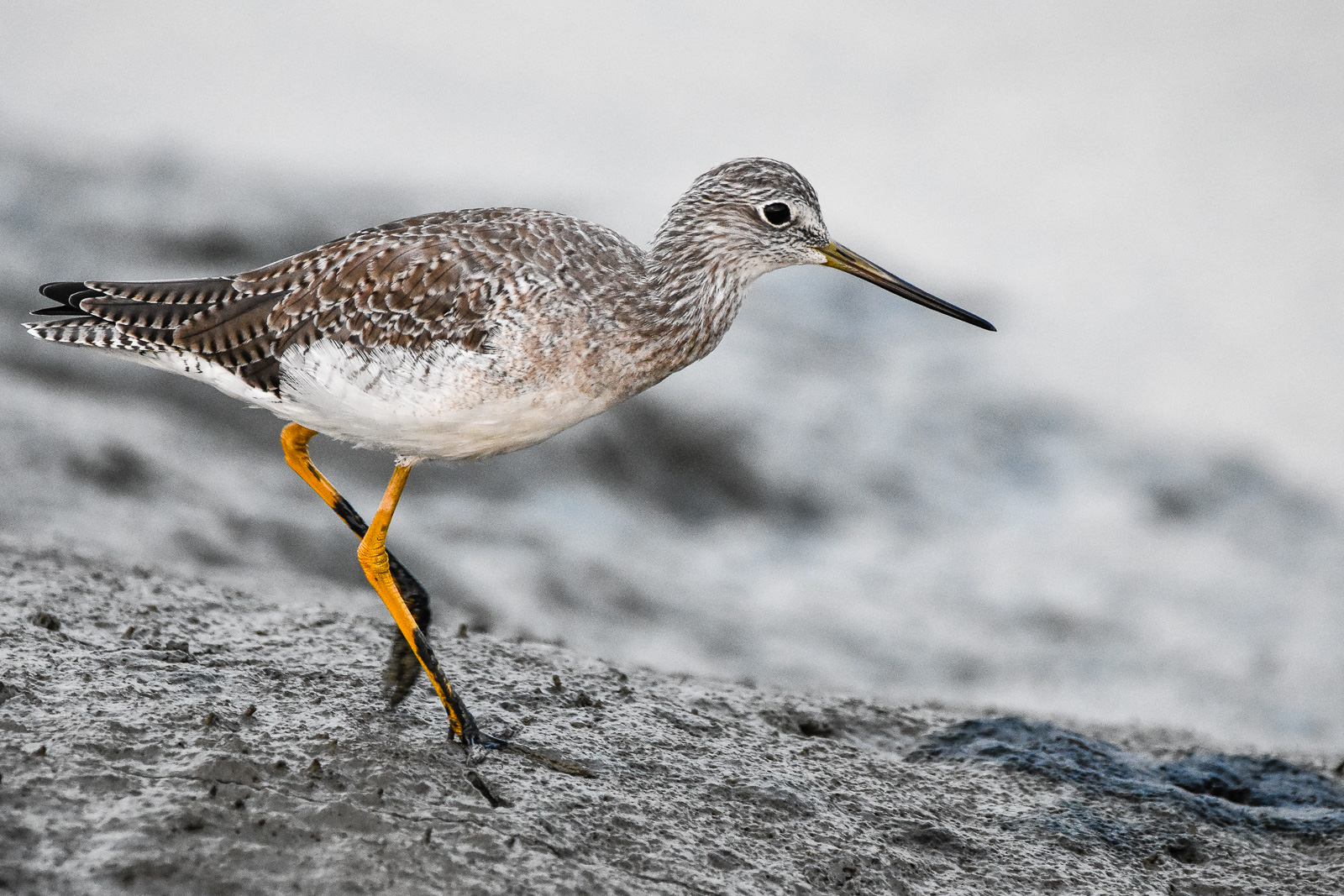
Greater Yellowlegs
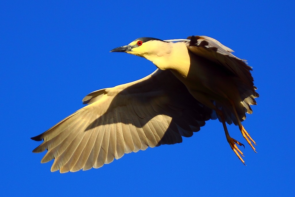
IMG_3569 Black-Crowned Night Heron
The Road Less Travelled...

Red On Purple

IMG_1917 Snowy Egret

Shadow Lines

Geese (HSS)
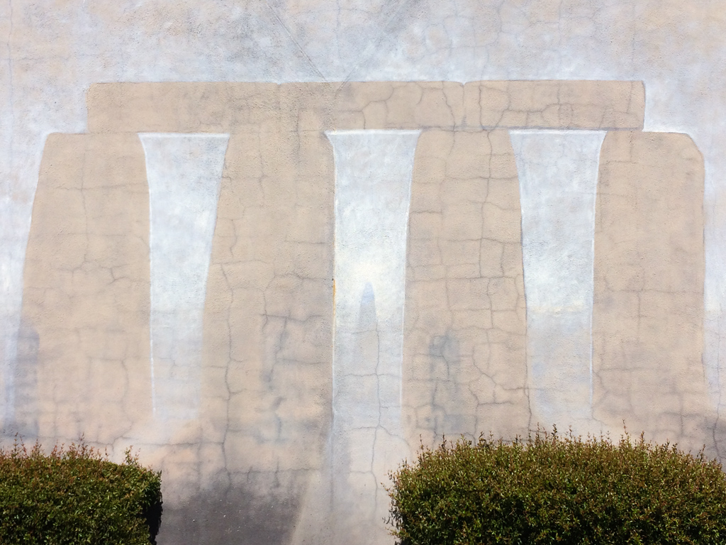
Stonehenge In Mountain View

Out ?
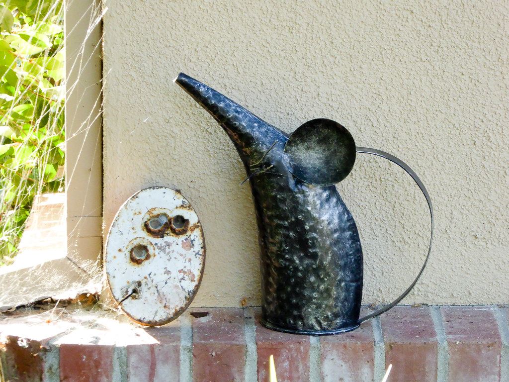
Rat Can
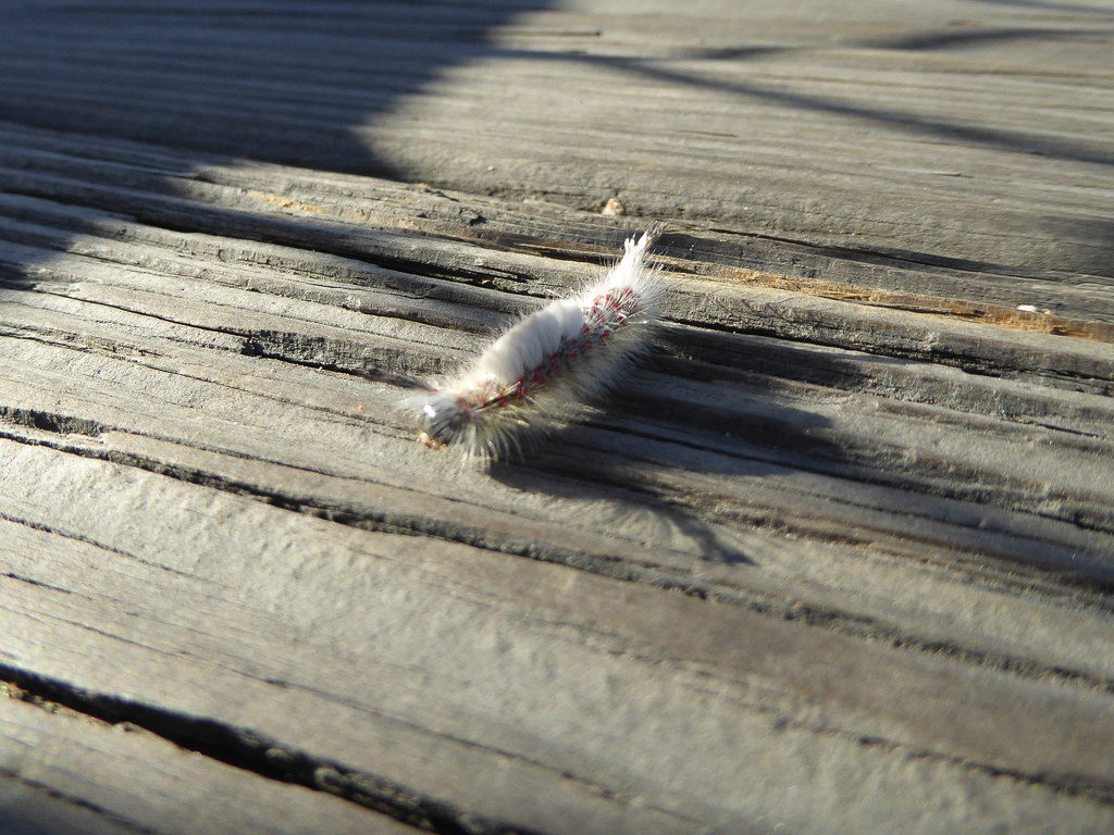
Inching Along

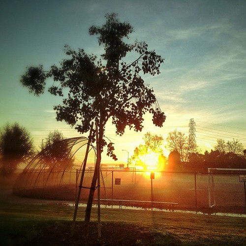
Heavenly shades of night are falling, it's twilight time ...

And the wind cries Mary
Somewhere in heaven

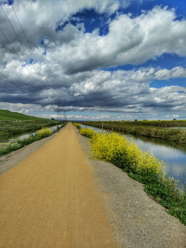
Fields of Gold

Door of opportunities :)

Trail to Heaven
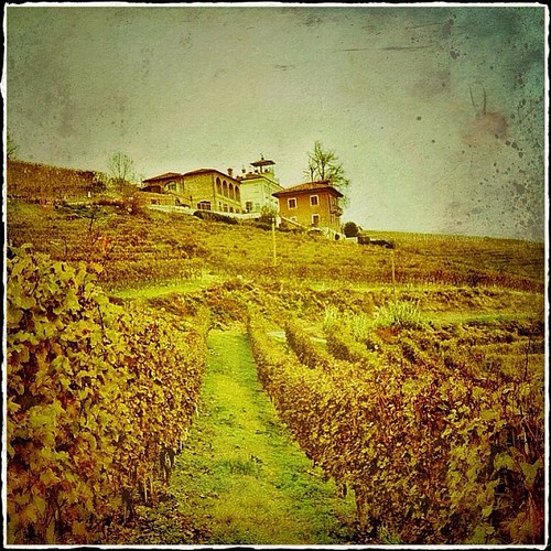
La Villa Tiboldi - Piedmont, Italy
Yesterday afternoon stroll.
First image taken with my #iphone5 Fog lifting over the South Bay.
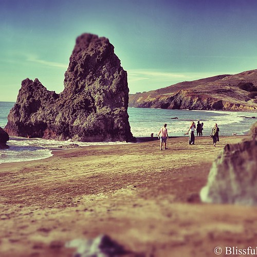
Strolling Rodeo Beach - California

Dumbarton Pier 06.jpg
Central Park

April Skies | Palo Alto

Gentle Afterglow
Trees and Rays
grassy hill

My Favorite Tree
Trieste Canal

Spider Tree
trail uphill

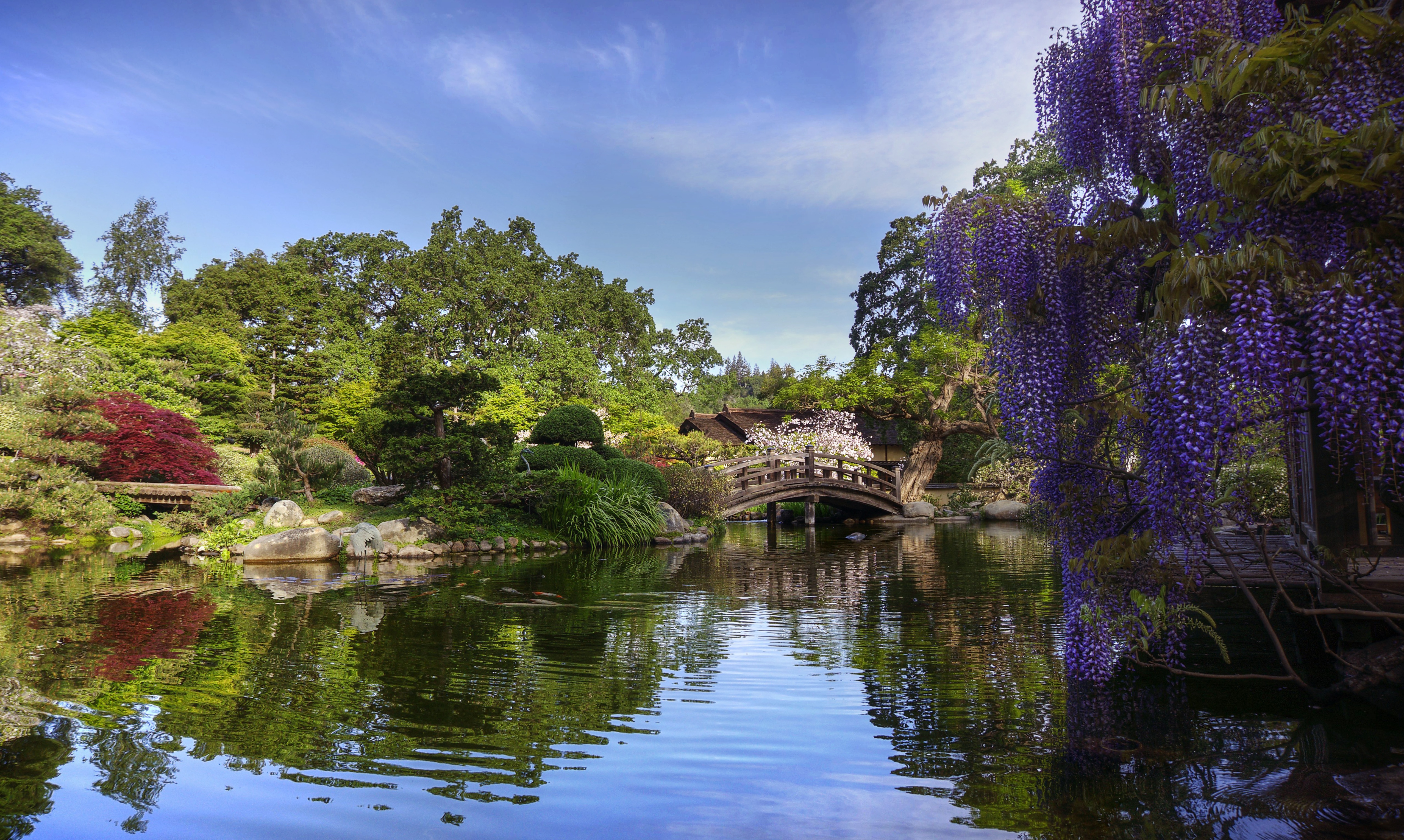
Stanford and Palo Alto
Topographic Map of Benvenue Ave, Los Altos, CA, USA
Find elevation by address:

Places near Benvenue Ave, Los Altos, CA, USA:
542 Benvenue Ave
San Luis Avenue
972 Echo Dr
Blossom Valley
Rose Avenue
1672 Lee Dr
Tyndall Street
Marilyn Drive
60 Hawthorne Ave
289 S San Antonio Rd
Rancho
North Los Altos
761 University Ave
Yuli Lyman, Real Estate Broker
12345 El Monte Rd
681 Berry Ave
200 Main St
1899 Anthony Ct
1116 Judson Dr
Los Altos
Recent Searches:
- Elevation of 3 Nestling Wood Dr, Long Valley, NJ, USA
- Elevation of Ilungu, Tanzania
- Elevation of Yellow Springs Road, Yellow Springs Rd, Chester Springs, PA, USA
- Elevation of Rēzekne Municipality, Latvia
- Elevation of Plikpūrmaļi, Vērēmi Parish, Rēzekne Municipality, LV-, Latvia
- Elevation of 2 Henschke Ct, Caboolture QLD, Australia
- Elevation of Redondo Ave, Long Beach, CA, USA
- Elevation of Sadovaya Ulitsa, 20, Rezh, Sverdlovskaya oblast', Russia
- Elevation of Ulitsa Kalinina, 79, Rezh, Sverdlovskaya oblast', Russia
- Elevation of 72-31 Metropolitan Ave, Middle Village, NY, USA