Elevation of Main St, Los Altos, CA, USA

Location: United States > California > Santa Clara County > Los Altos > North Los Altos >

Longitude: -122.11590

Latitude: 37.3789445

Elevation: 57m / 187feet

Barometric Pressure: 101KPa

Elevation Map:

elevation map of Main St, Los Altos, CA, USA

Satellite Map:

Satellite map of Main St, Los Altos, CA, USA

Related Photos:

mountainview potd
Morning Water
budget motel mountain view california night long exposure velvia provia e100 light trails traffic cars streaks mixed sky flare neon old vintage roadside street road el camino real rz67 mamiya film
On A Budget in Mountain View
mountainview potd
Snail In Hose
mountainview potd
Plastic Lifesaver
california ca sunset usa tree us oak day unitedstates cloudy paloalto hdr gnarled exposureblending photomatix dishtrail standforduniversity
Gnarled Oak
park mountain canon is view shoreline l usm tern 100400mm forsterstern forsters coth greatshots topshots specanimal photosandcalendar natureselegantshots panoramafotografico coth5 theoriginalgoldseal flickrsportal flickrportal ringexcellence dblringexcellence tplringexcellence eltringexcellence
IMG_1380 Let Me Feed You, Honey.
mountainview potd
Jacaranda Litter
mountainview california googlecampus crittendenlane outdoor horse statue horsestatue wood woodenstatue art sculpture grass grassfield field sunset cloud cloudy 3xp raw nex6 selp1650 photomatix hdr qualityhdr qualityhdrphotography shoreline deborahbutterfield bronze castbronze bronzestatue fav200 siliconvalley
Fire breathing dragon
mountainview flower flowers nature potd
Color On Weathered Grey
park mountain canon is view shoreline l usm tern 100400mm forsterstern forsters coth supershot avianexcellence bestcapturesaoi ringexcellence dblringexcellence tplringexcellence
IMG_5922 Forster's Tern Hovering, Mountain View Shoreline Park, California
california trees nature landscape stanford woodside hdr rollinghills marinelayer portolavalley sanfranciscopeninsula coastalfog explored lateafternoonsunlight stanfordweekendacres
California Coastal Fog (explored)
mountainview potd
Red On Purple
bridge illumination cupertino pedestrianbridge
Mary Avenue Bridge
mountainview potd
Belly Balls
california unitedstates mountainview
DSC01246.JPG
california sculpture horse bluesky mountainview sgi silicongraphics drygrass deborahbutterfield bronzecasting driftwoodhorse
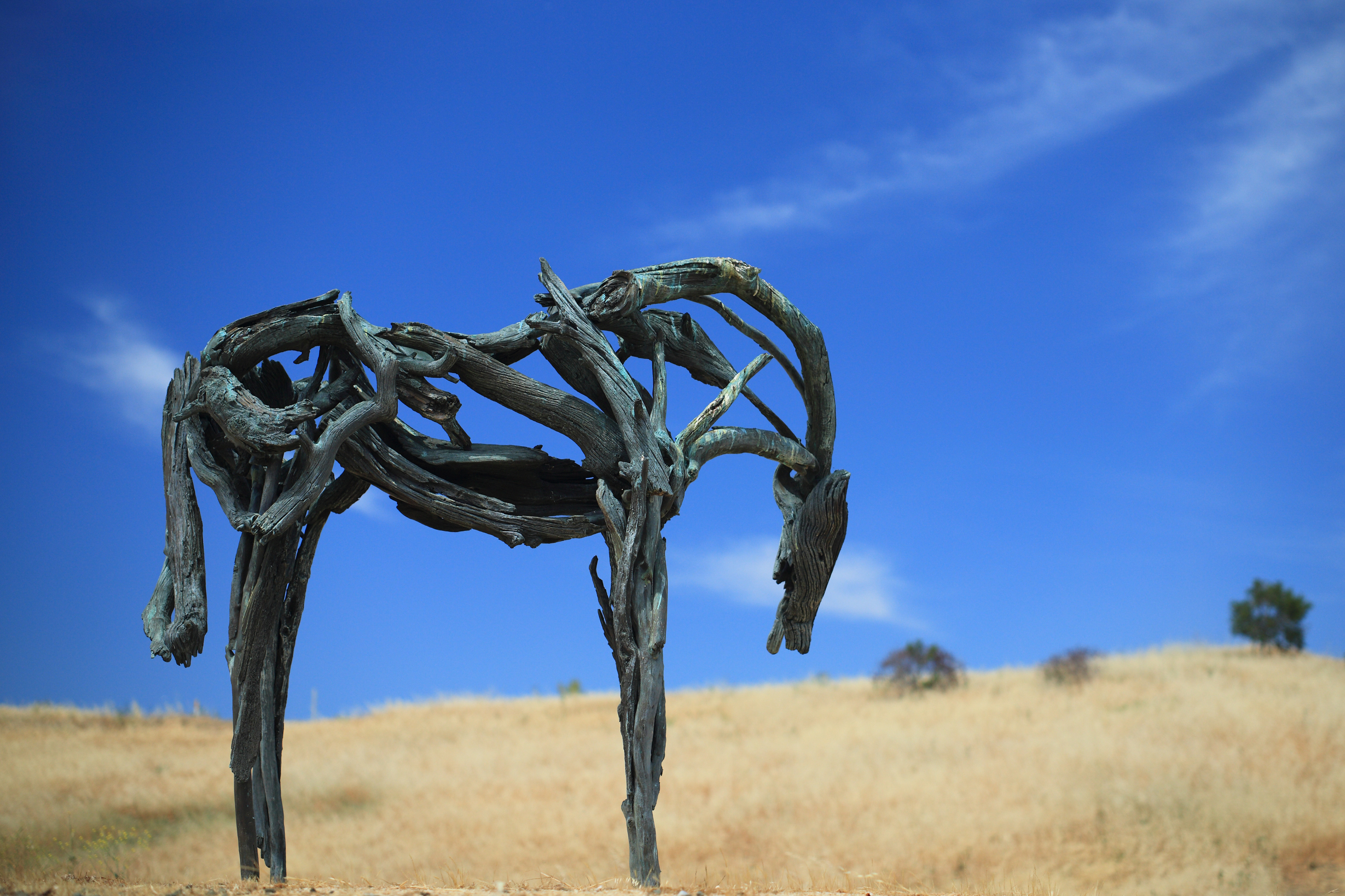
Bronze Horse by Deborah Butterfield
mountainview potd
Hose Snake
mountainview potd
Rat Can
mountainview potd shadow shadows
Morning Tree
boats canon5dmarkiii canonef24105mmf4lisusm lightroom6 mountainview santaclaracounty shoreline shorelinelake shorelinepark topazsw
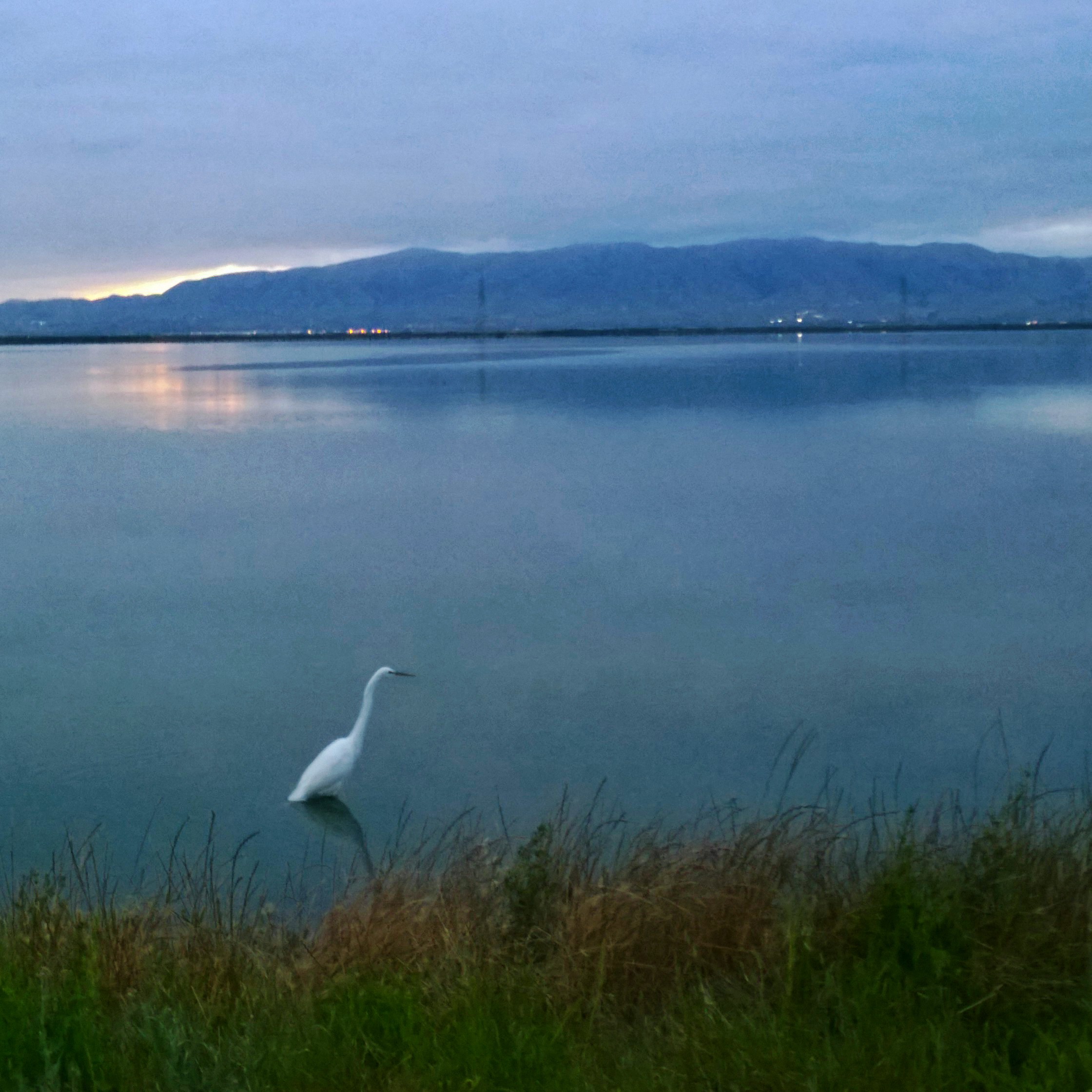
Morning at the Lake (HSS)
birds flying birdwatcher topshot northernharrier circuscyaneus charlestonslough naturescall featheryfriday top20birdshots mountainviewcalifornia specanimal anawesomeshot impressedbeauty avianexcellence goldwildlife treeofhonor bloggedtwe
Northern Harrier-IMG_1671-MV baylands-Crop
california sunset nature grass landscape hdr rollinghills windingroads arastraderopreserve d7000 californiaoaktrees magicunicornverybest topazdetail galleryoffantasticshots
Heavenly Shades of Night are Falling -- Reprise
california trees nature grass clouds landscape trails sunsets hdr rollinghills fieldsofgold arastraderopreserve d7000 daarklands magicunicornmasterpiece topazdetail explored7000
Fields of Gold
IMG_20170311_123526-PANO
hakonegardens garden japanesegarden reflection waterreflection fuji wisteria bloom spring hdr 3xp raw selp1650 nex6 photomatix california saratoga fav200 day clear siliconvalley sanfranciscobay
Somewhere in heaven
california park ca sunset favorite usa lake plant green nature water colors yellow canon landscape landscapes woods waterdrop colorful exposure bayarea greenwater canon60d platinumheartaward
Door of opportunities :)
california sunset nature grass landscape rollinghills blends d600 windingroads arastraderopreserve californiaoaktrees galleryoffantasticshots bestevercompetitiongroup
Home on the Farm
california sunset nature grass fog landscape hdr rollinghills sanfranciscopeninsula windingroads californiaoaktrees magicunicornverybest topazdetail
Heavenly shades of night are falling, it's twilight time ...
instagramapp square squareformat iphoneography uploaded:by=instagram
#hiking #california #nature
scenic view usa ca california cupertino ranchosanantonio rancho trail golden rollinghills hills mountains sun
The Rancho
california road trees grass afternoon dirt grasses grassland palo alto grasslands arastradero
Arastradero Pasture
longridge hdr3 sky clouds grass nature trail overcast story danielhoherd hdr field unitedstates danielaustinhoherd california 15mm nikond70 d70 nikon santacruzcounty cielo santacruz northerncalifornia sanfranciscobayarea ƒ22 iso200 ƒ220 sanmateocounty datetaken:month=09 datetaken:year=2007 datetaken:day=23 usa datetaken:date=20070923 sunday 云彩 草 雲 datetaken:calendarday=0923
Trail to Heaven
california skyline sunrise santacruzmountains windyhill gnd 3stophard 51386
Skyline Sunrise
tree lone fremontolder curtbianchi iphone4 lomob irisphotosuite
My Favorite Tree
paloalto cloud clouds nature potd sky
Palo Alto Baylands
1235mm 2017 arastraderopreserve bw california em5 geotag hiking monochrome outdoor tree treescape
A Tree near Paseo del Roble Trail
DSC00963.JPG
WP_20170511_05_46_28_Pro (2)
sunset landscape trails d600 rockpaper stanforddishtrail californiaoaktrees
Closing Time
longexposure nature water waterfall nikon rocks d7000
Central Park
usa california montebello preserve tree
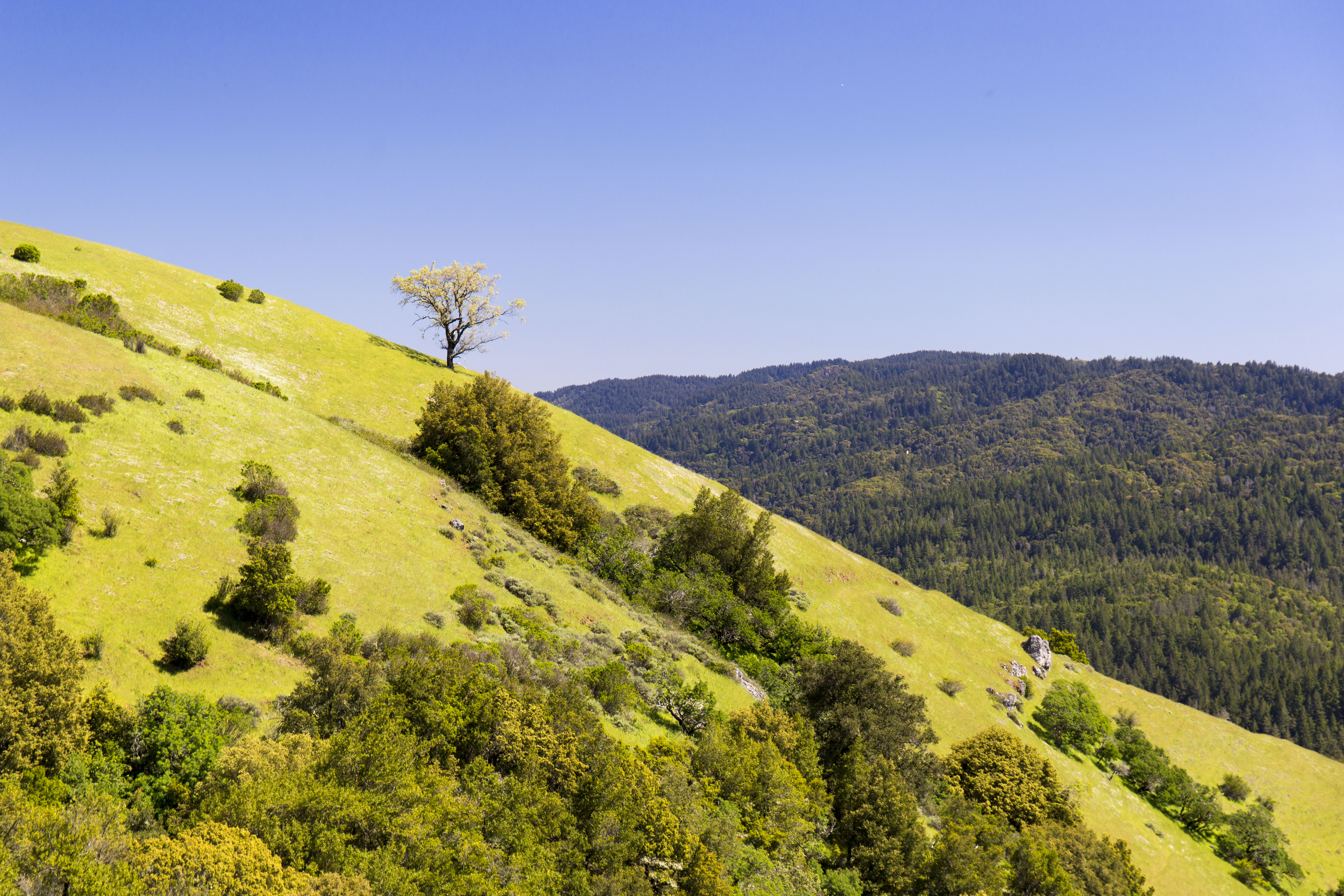
Monte Bello Open Space Preserve