Elevation map of Bellary, Karnataka, India
Location: India > Karnataka >
Longitude: 76.5488232
Latitude: 15.0950024
Elevation: 571m / 1873feet
Barometric Pressure: 95KPa
Elevation Map:
Satellite Map:
Related Photos:

Kaladam @ JSW

#sturgillustration

Flower at dawn
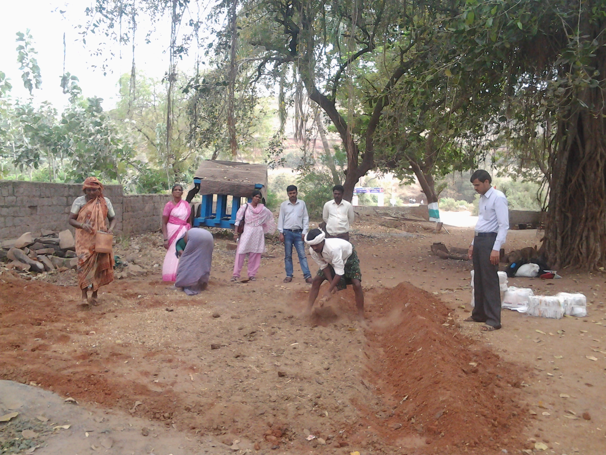
Nursery Preparation at Joga Village, Bellary

Nursery Raising at Joga Village, Bellary
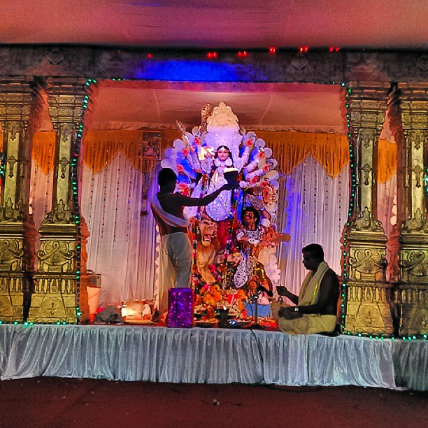
Durga puja time :-) #firsttime #puja #festivals #india
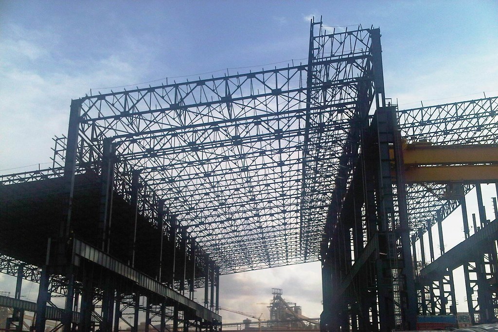
Under Construction

uttam chand love
Sun rise
Topographic Map of Bellary, Karnataka, India
Find elevation by address:

Places in Bellary, Karnataka, India:
Places near Bellary, Karnataka, India:
Sandur
3, Shimoga - Harihar - Hospet Rd, Maramanahalli, Karnataka, India
Maramanahalli
Hosapete
Kudligi
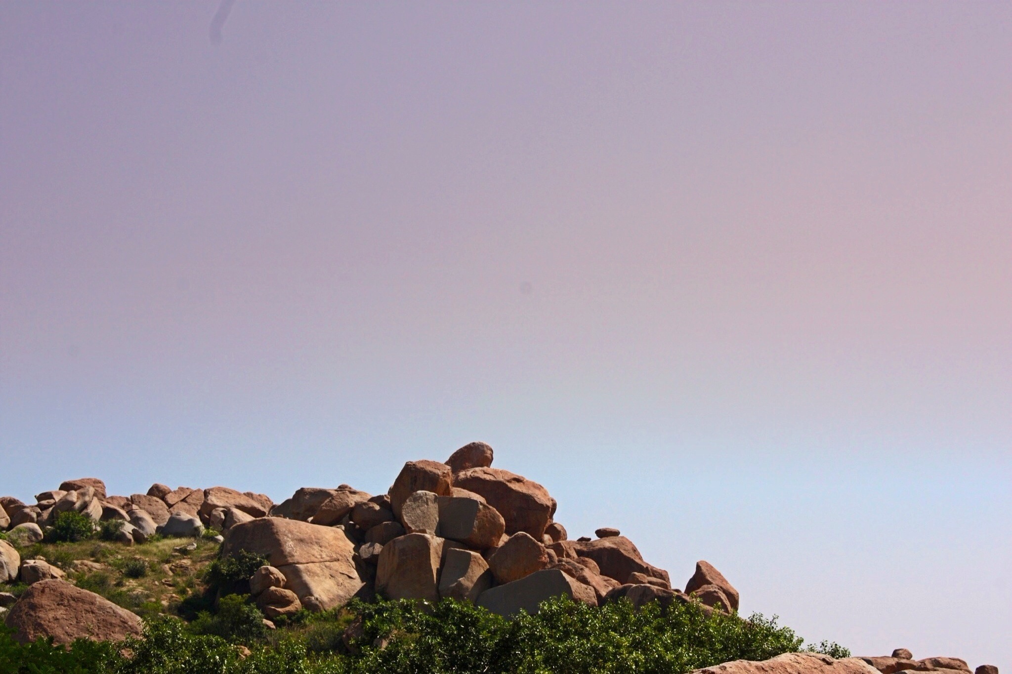
Hampi
8-319
Kampli
Maruthi Nagar
Gangavathi
Hagaribommanahalli
Ballari
Molakalmuru
Bommanahal
Rayadurg
Rayadurgam
Rupanagudi Road
Havaligi
Honnur
Gulyam
Recent Searches:
- Elevation of Corso Fratelli Cairoli, 35, Macerata MC, Italy
- Elevation of Tallevast Rd, Sarasota, FL, USA
- Elevation of 4th St E, Sonoma, CA, USA
- Elevation of Black Hollow Rd, Pennsdale, PA, USA
- Elevation of Oakland Ave, Williamsport, PA, USA
- Elevation of Pedrógão Grande, Portugal
- Elevation of Klee Dr, Martinsburg, WV, USA
- Elevation of Via Roma, Pieranica CR, Italy
- Elevation of Tavkvetili Mountain, Georgia
- Elevation of Hartfords Bluff Cir, Mt Pleasant, SC, USA