Elevation of Hagaribommanahalli, Karnataka, India
Location: India > Karnataka > Bellary >
Longitude: 76.2073525
Latitude: 15.0456393
Elevation: 517m / 1696feet
Barometric Pressure: 95KPa
Elevation Map:
Satellite Map:
Related Photos:
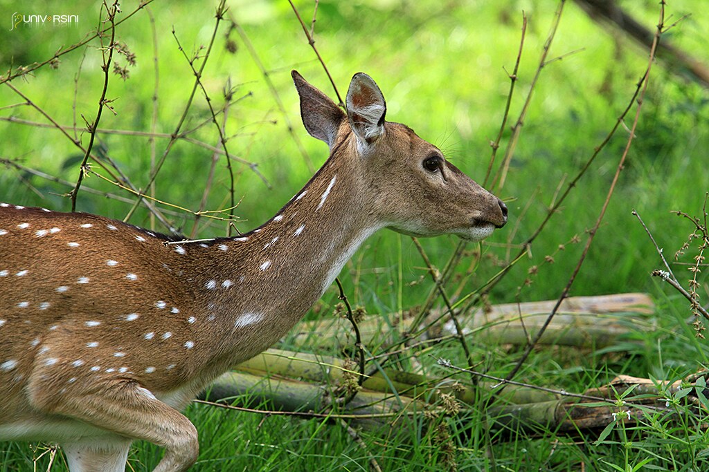
A Deer from India
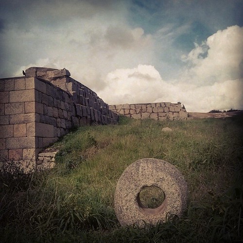
The land of solid blocks! The king is The with a hole! #votrasi_opening @metabolixx @denseparticle @graphernomad
Topographic Map of Hagaribommanahalli, Karnataka, India
Find elevation by address:

Places near Hagaribommanahalli, Karnataka, India:
Maramanahalli
3, Shimoga - Harihar - Hospet Rd, Maramanahalli, Karnataka, India
Kudligi
Hosapete
Sandur
Bellary
Hampi
Gangavathi
Kampli
Maruthi Nagar
8-319
Jagalur
Molakalmuru
Agasanakatte
Ballari
Rayadurg
Rayadurgam
Davanagere
Bommanahal
Gummagatta
Recent Searches:
- Elevation of Jalan Senandin, Lutong, Miri, Sarawak, Malaysia
- Elevation of Bilohirs'k
- Elevation of 30 Oak Lawn Dr, Barkhamsted, CT, USA
- Elevation of Luther Road, Luther Rd, Auburn, CA, USA
- Elevation of Unnamed Road, Respublika Severnaya Osetiya — Alaniya, Russia
- Elevation of Verkhny Fiagdon, North Ossetia–Alania Republic, Russia
- Elevation of F. Viola Hiway, San Rafael, Bulacan, Philippines
- Elevation of Herbage Dr, Gulfport, MS, USA
- Elevation of Lilac Cir, Haldimand, ON N3W 2G9, Canada
- Elevation of Harrod Branch Road, Harrod Branch Rd, Kentucky, USA