Elevation of Bella Vista, CA, USA
Location: United States > California > Shasta County >
Longitude: -122.26867
Latitude: 40.6315045
Elevation: 202m / 663feet
Barometric Pressure: 99KPa
Elevation Map:
Satellite Map:
Related Photos:
Sundial Bridge in September

Sundial Bridge at Turtle Bay (II)

Sundial Bridge Lightning, The Sundial Bridge, Redding, CA

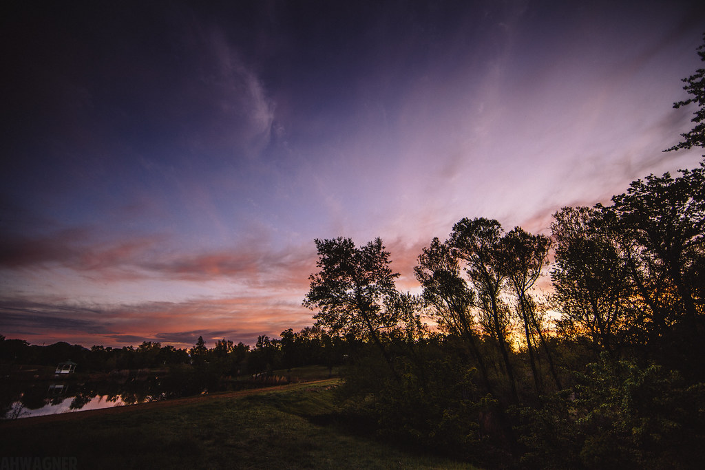
Sunset over Sacramento River

Self Portrait - 3
O'B (5)

Calatrava's Sundial Bridge, Redding, California

Self Portrait - 2

Self Portrait - 1

Bald Eagle with Fish in Talons - This is "Liberty", the female of the nesting pair at Turtle Bay, Redding, California

UP9921-9900-9924

Redding, CASD59MX-UP 9900

Changed hotels. Here's the view from the room - sunset on the Sacramento River. #roadtrip #redding #california #hotel #view #Sacramento #river #instagold #instagood #instagram #igdaily #igaddicts #ipodtouch #ipod
Mount Shasta

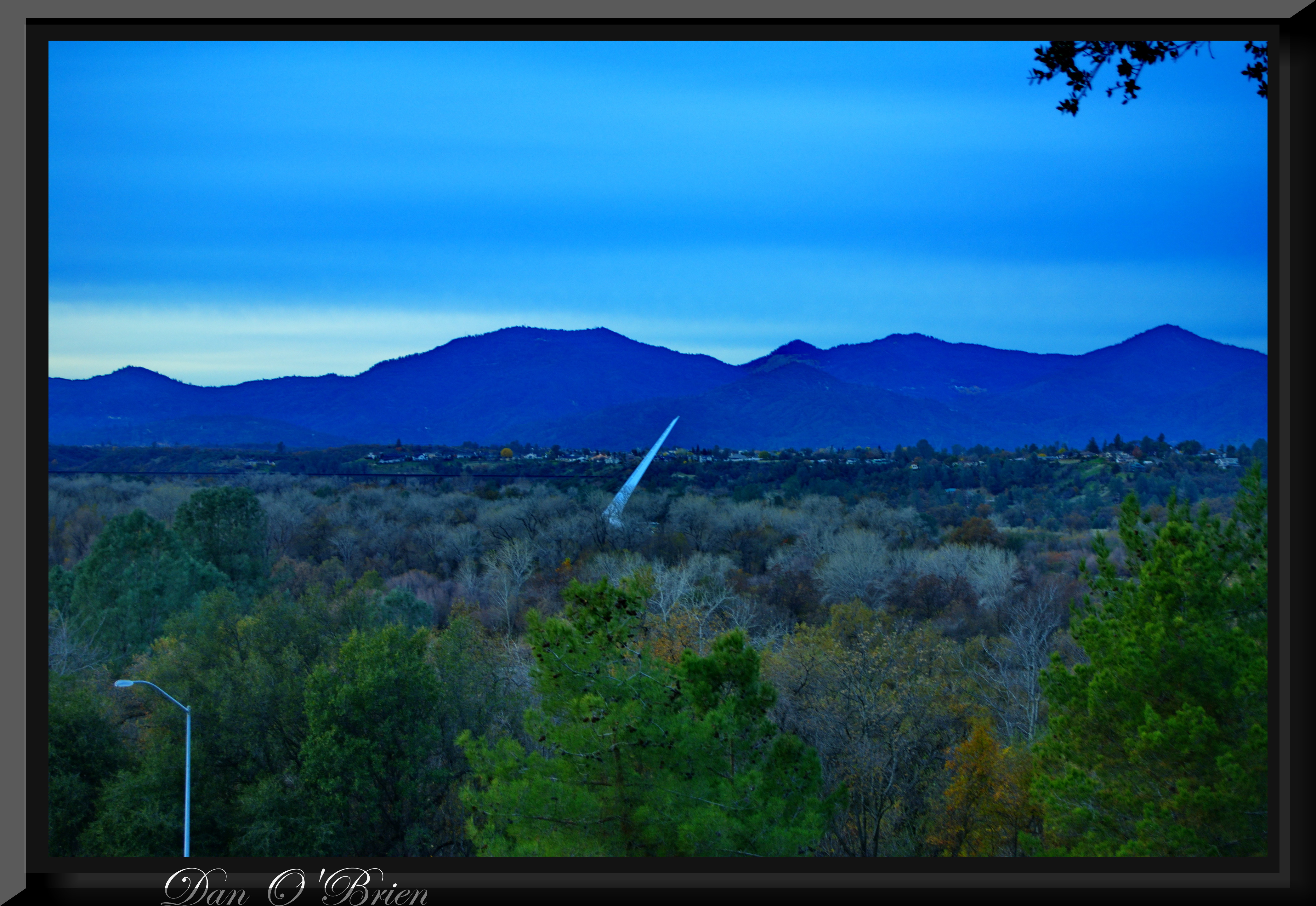
Sundial Bridge at Turtle Bay Exploration Park facing Sacramento River west view in Redding, California.
O'B (7)
A perfect view of #MtShasta to end the weekend.

Interstate 5 Southbound Shasta Valley Freeway approaching 1/4 = 0.25 mile to Exit 681A - Twin View Blvd. followed by Exit 680 - State Highway Junction Route CA-299 Lake Blvd. 3/4 = 0.75 miles with this overhead sign located at
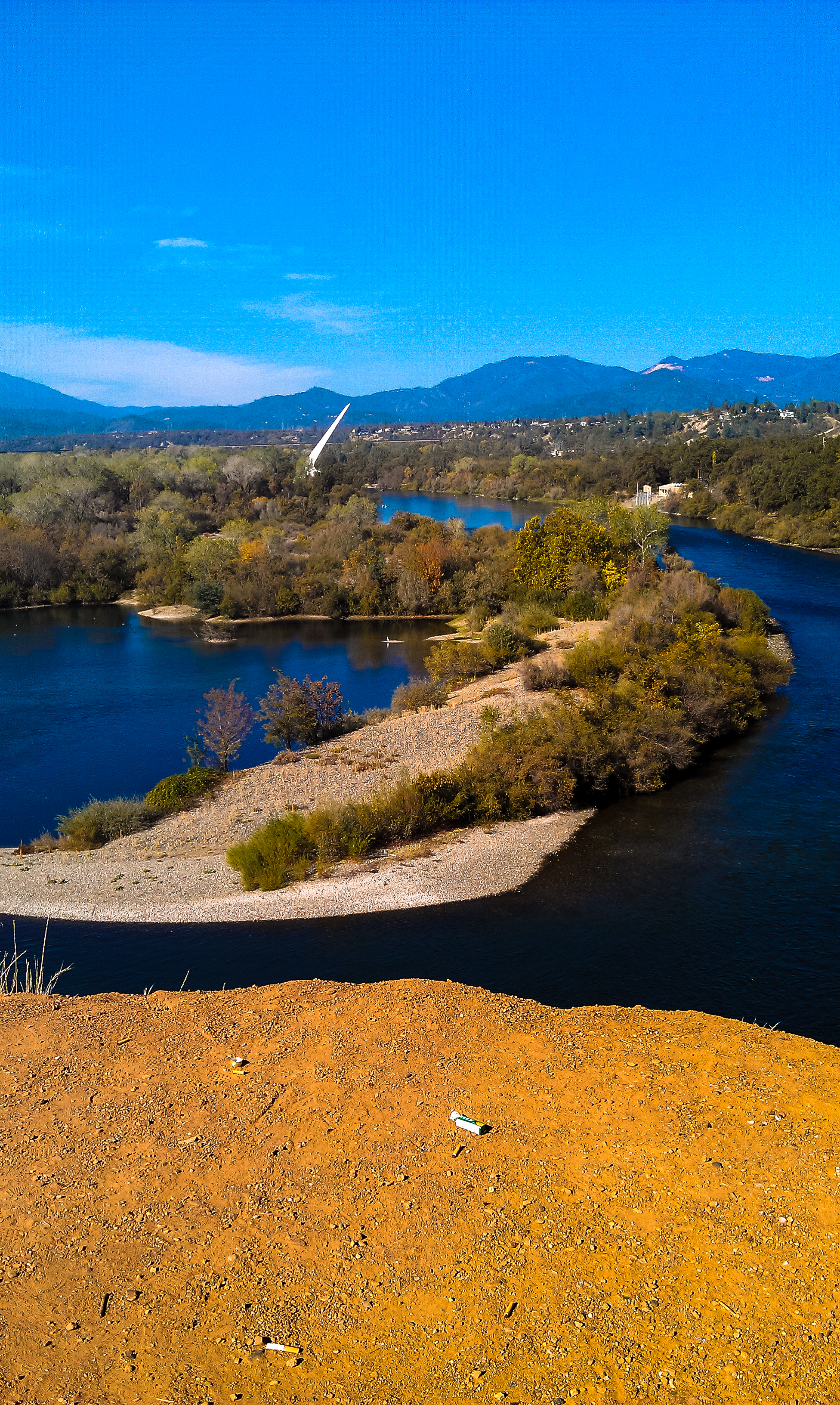
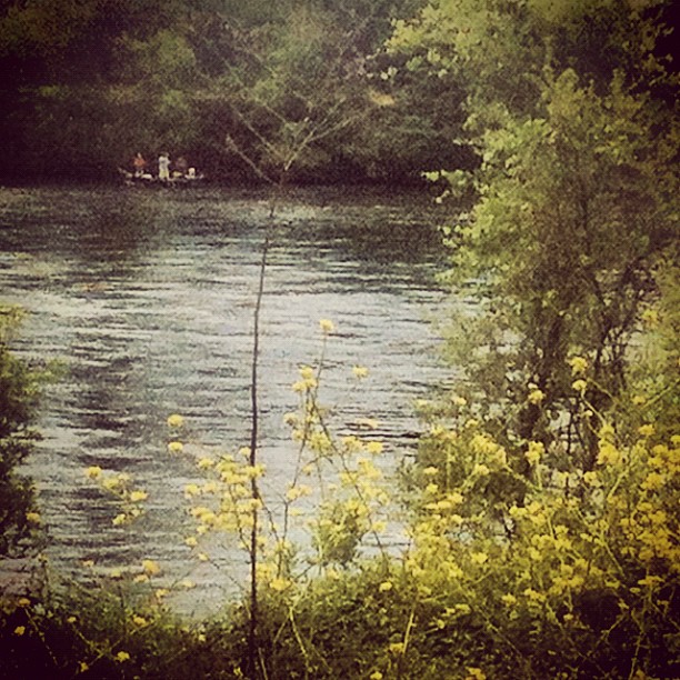
Sacramento River - Redding, CA
Cliff Swallow Redding 1991 7

View just now from the hotel room. #sunset #colorful #clouds #sky #evening #winter #redding #california #roadtrip #Creation #beauty #ipod #ipodtouch #igdaily #igaddicts #instagold #instagood #instagram
Turtle Bay
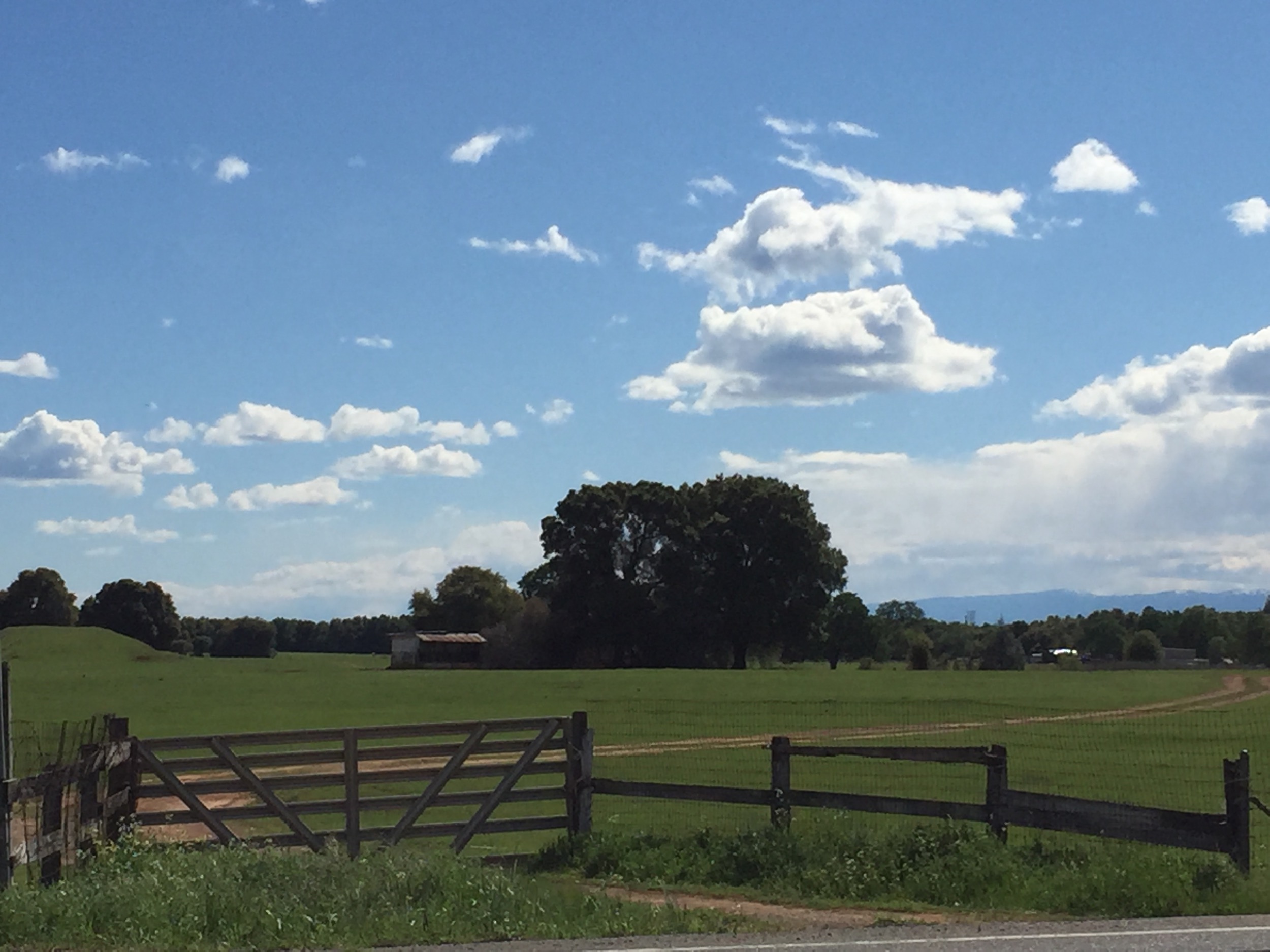
Random photography

Trees being trees

Sunset at the Sundial Bridge
Random photography
#redding #water #art #iphoneography #photooftheday #instagood #iphone #ig #california #jj #love #igers #sky #instagramhub #instamood #tweetagram #popular #bestoftheday #picofthegram #cute #photography #igdaily #me #sunrise #girl #instadaily #sunset #dog #

Mount Shasta

Red Along a River
Sunrise at Simpson [03.30.13]
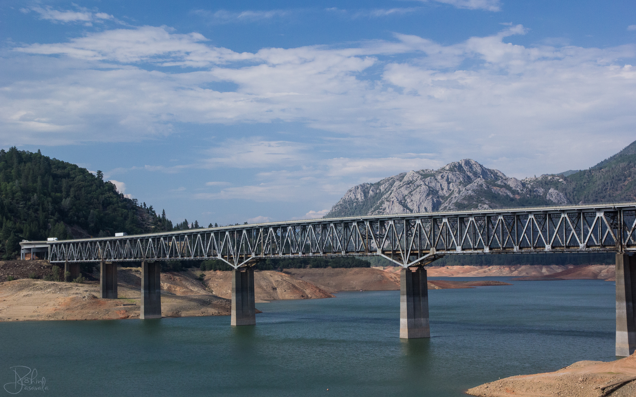
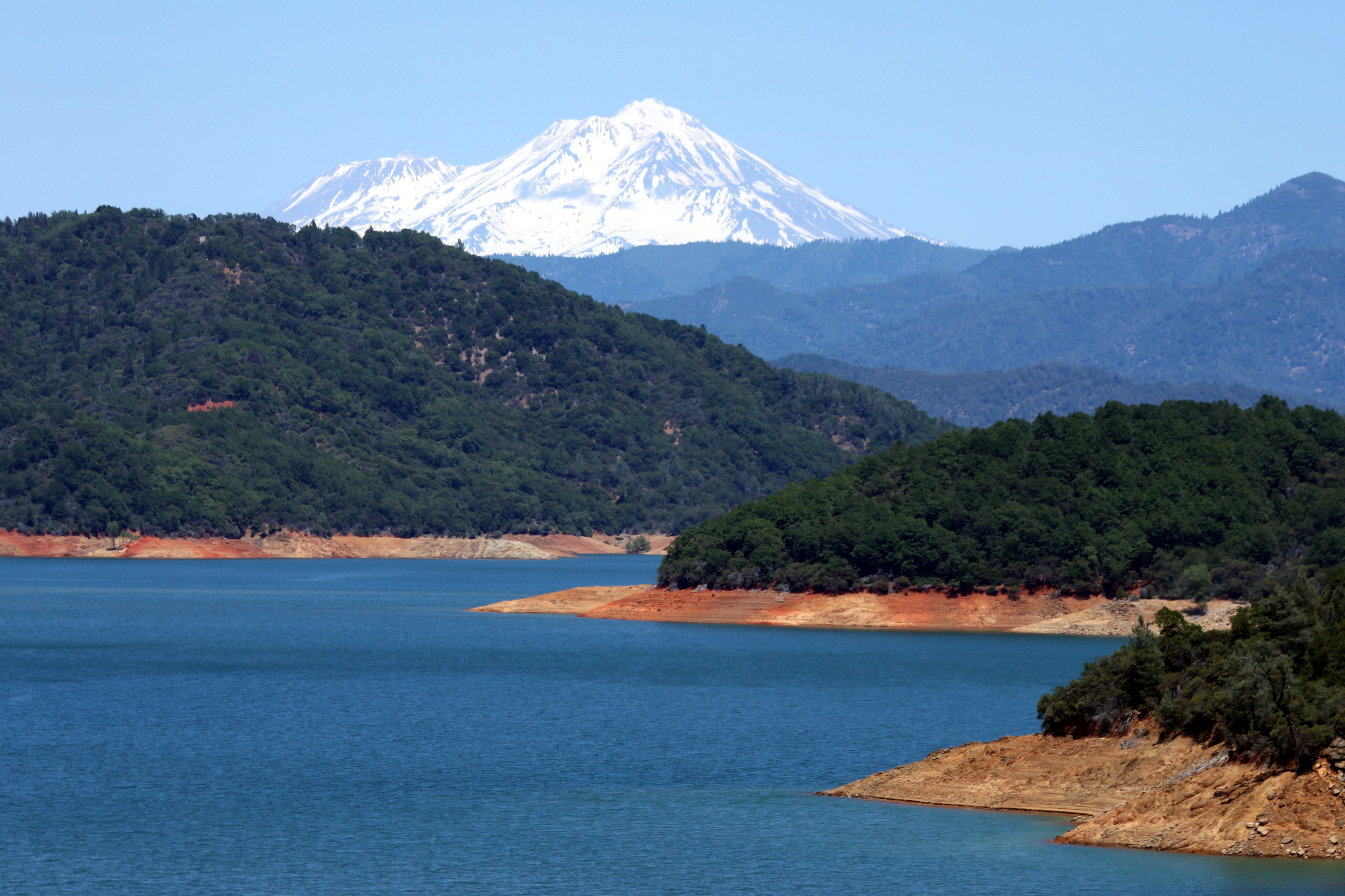
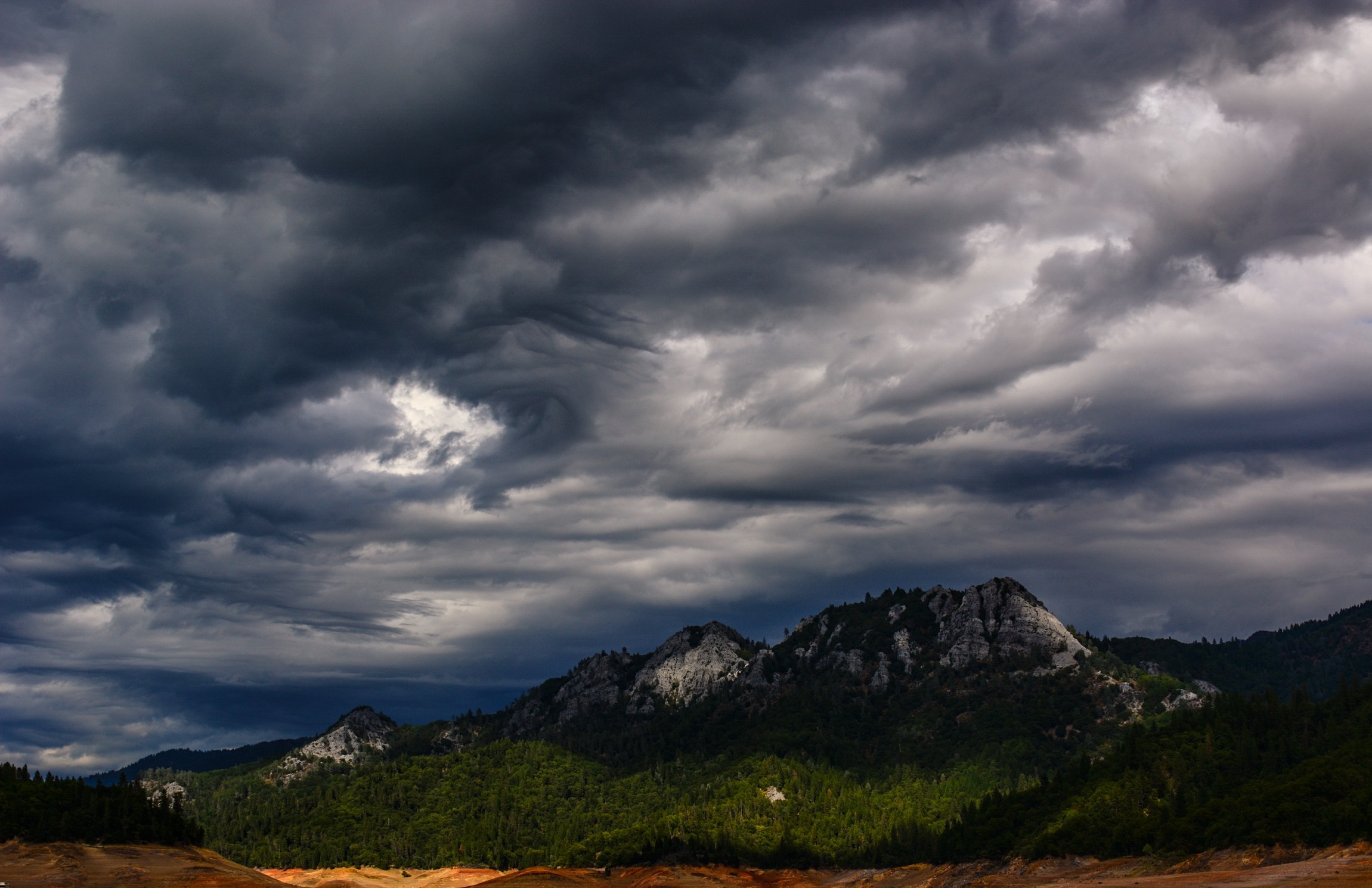
Lake Shasta

Sundial Bridge Detail
All Photos-2510
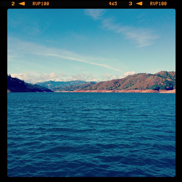
Hello Lake Shasta!
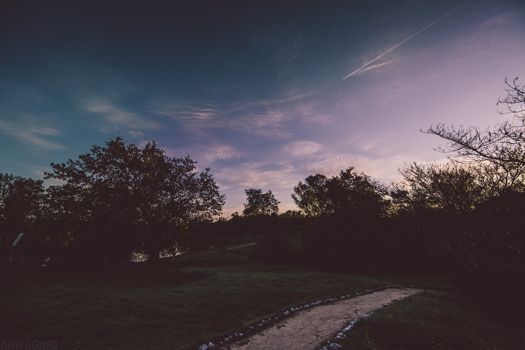
Sunrise at Simpson [03.29.13]

Redding-19
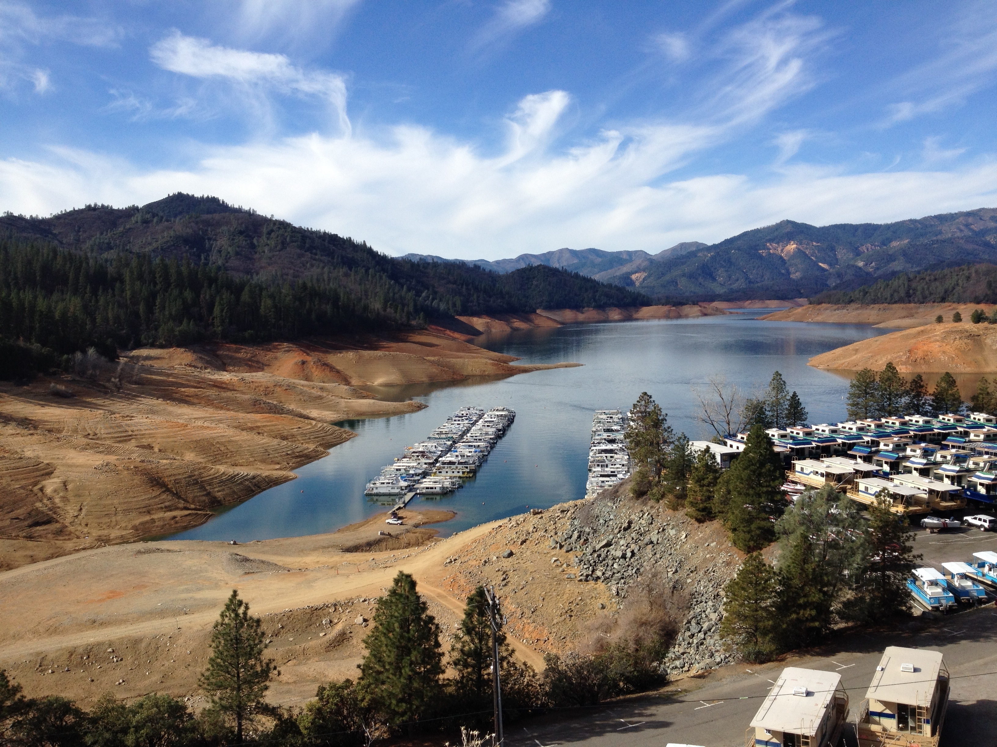
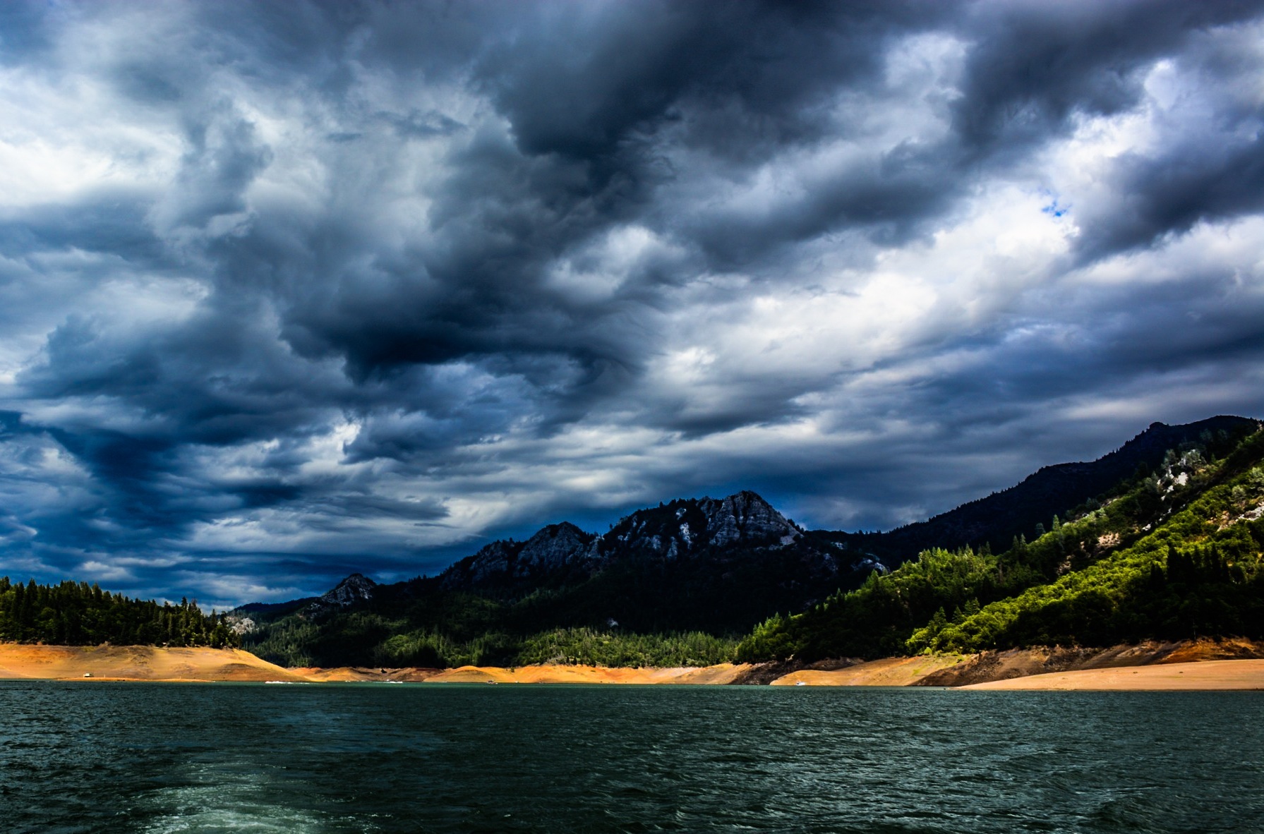
Lake Shasta is very low (Calif. drought)

3 Shastas in HDR
Topographic Map of Bella Vista, CA, USA
Find elevation by address:

Places in Bella Vista, CA, USA:
Places near Bella Vista, CA, USA:
CA-, Bella Vista, CA, USA
2300, 11555 Old Oregon Trail
Shasta College
12763 Encanto Way
13167 Hidden Oaks Trail
12616 Los Osos St
13416 Luna Dr
Old Oregon Trail
11236 Old Oregon Trail
21812 Elk Trail W
21812 Elk Trail W
21812 Elk Trail W
13706 Four Oaks Ct
13707 Creek Trail
1517 Bear Mountain Rd
1517 Bear Mountain Rd
13278 Bear Mountain Rd
13826 Valley Creek Ln
10527 Bear Mountain Rd
13990 Oscar Pl
Recent Searches:
- Elevation of Elwyn Dr, Roanoke Rapids, NC, USA
- Elevation of Congressional Dr, Stevensville, MD, USA
- Elevation of Bellview Rd, McLean, VA, USA
- Elevation of Stage Island Rd, Chatham, MA, USA
- Elevation of Shibuya Scramble Crossing, 21 Udagawacho, Shibuya City, Tokyo -, Japan
- Elevation of Jadagoniai, Kaunas District Municipality, Lithuania
- Elevation of Pagonija rock, Kranto 7-oji g. 8"N, Kaunas, Lithuania
- Elevation of Co Rd 87, Jamestown, CO, USA
- Elevation of Tenjo, Cundinamarca, Colombia
- Elevation of Côte-des-Neiges, Montreal, QC H4A 3J6, Canada