Elevation of Creek Trail, Redding, CA, USA
Location: United States > California > Shasta County > Redding >
Longitude: -122.26827
Latitude: 40.687098
Elevation: 245m / 804feet
Barometric Pressure: 98KPa
Elevation Map:
Satellite Map:
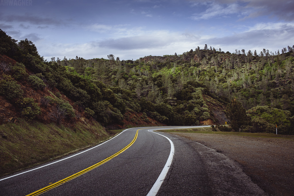
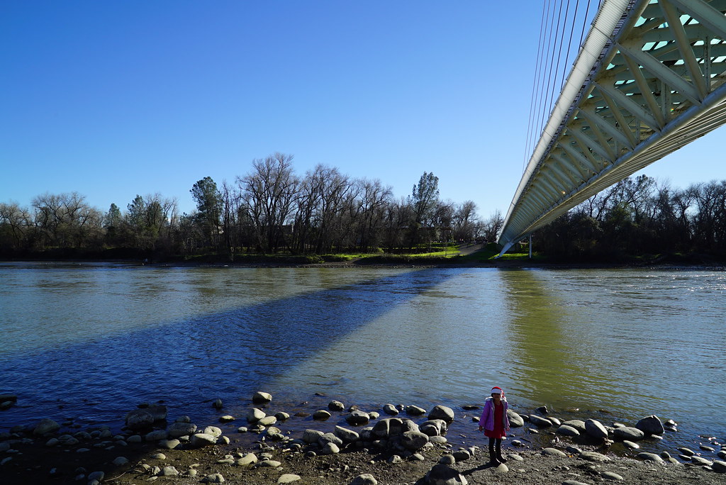
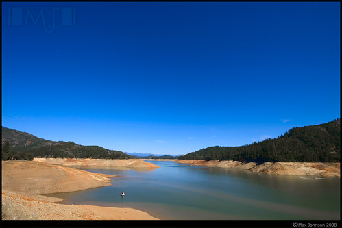
Related Photos:

Sundial Bridge Lightning, The Sundial Bridge, Redding, CA

Sundial Bridge at Turtle Bay
Girl By Bridges
Mt. Lassen
FOOTBALL SEASON ON THE LOWER SACRAMENTO RIVER
Carr Fire View from Downtown Redding Panorama

7474 Sundial Bridge Redding
After the Storm - Downtown Redding, California, USA

CHP - (135) Redding Office Area
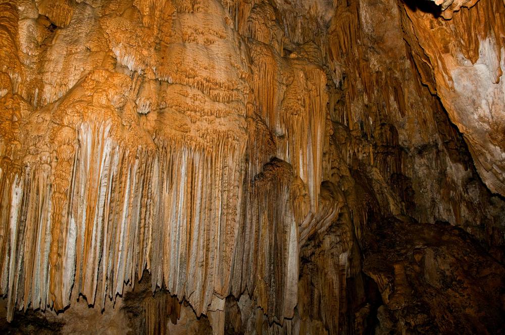
Inside the Caves

Calatrava's Sundial Bridge, Redding, California
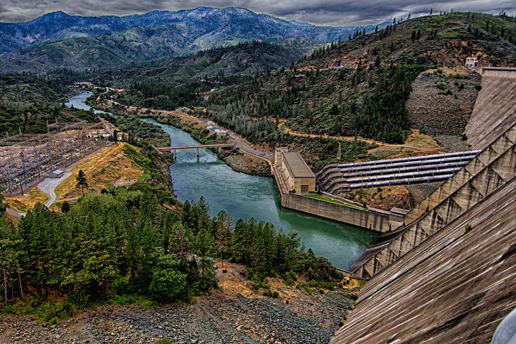
Shasta Dam Overlook 1533
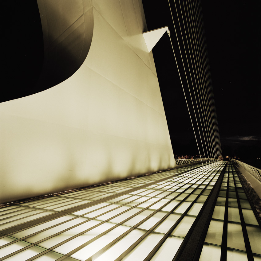
Sundial Bridge, Redding

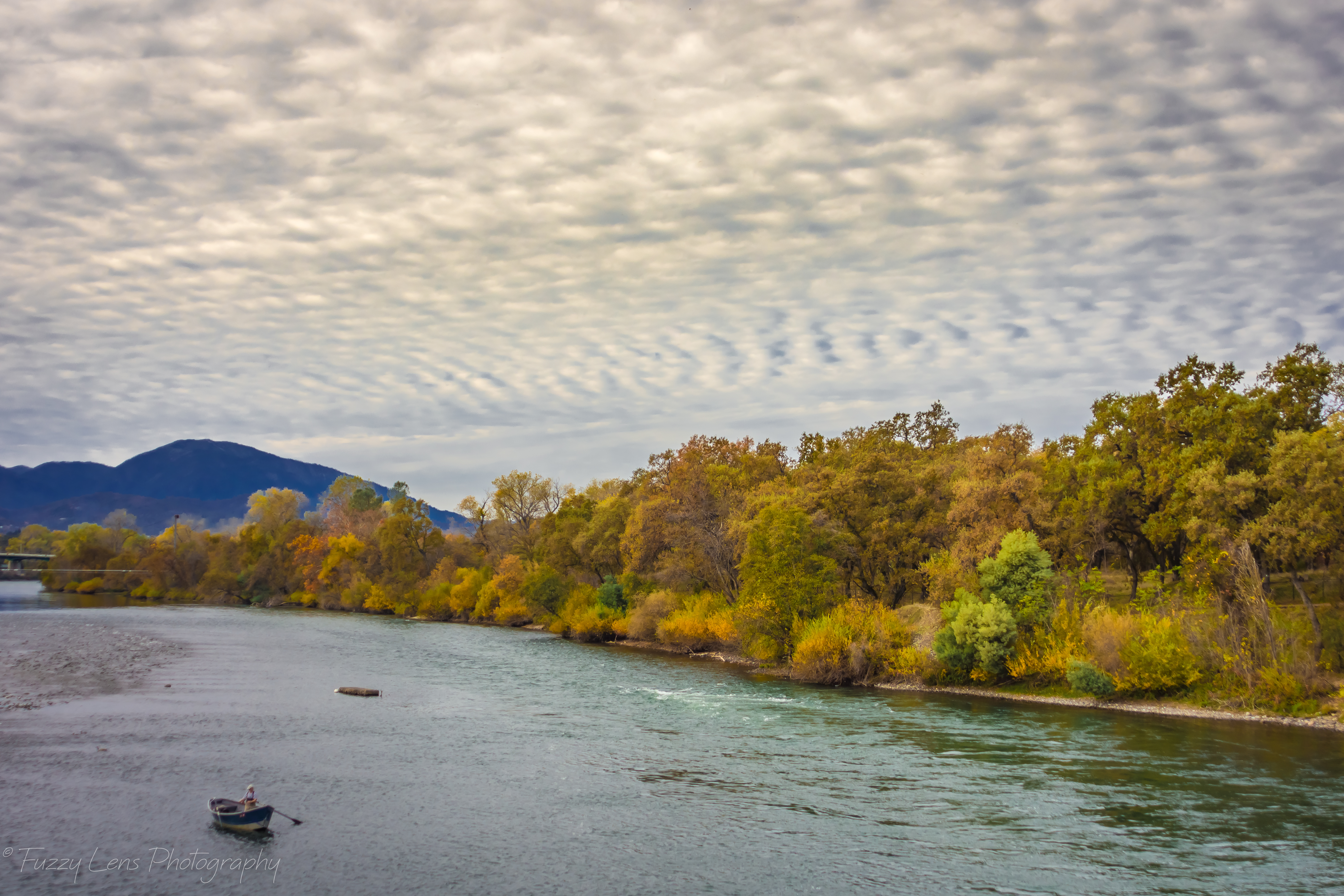
Sunset over Sacramento River

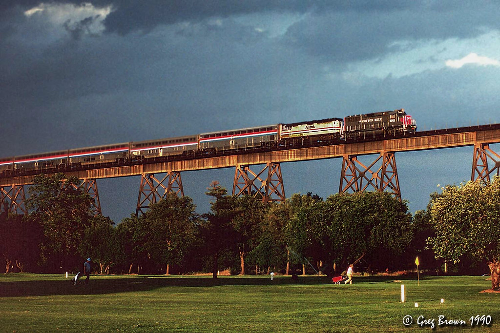
Redding, CASD59MX-UP 9900

Roberts_68 Sundial Bridge

UP9921-9900-9924

Self Portrait - 1

Sundial Bridge at Turtle Bay Exploration Park facing Sacramento River west view in Redding, California.
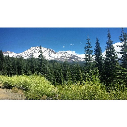
A perfect view of #MtShasta to end the weekend.

Sundial Bridge at Turtle Bay Exploration Park facing southeast view in Redding, California.
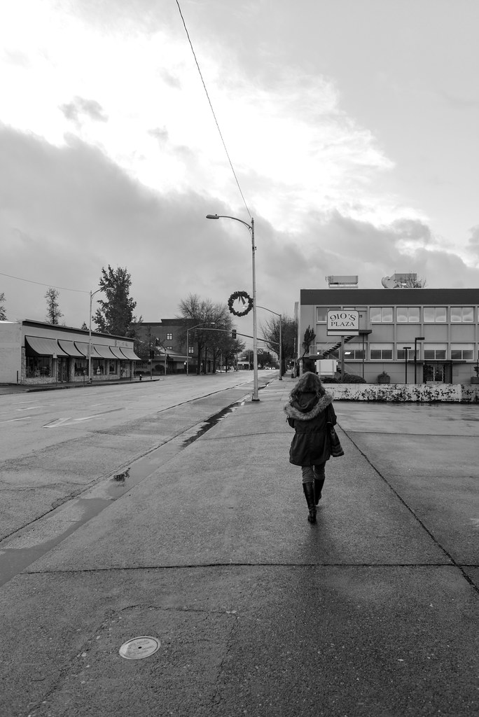
Almost there

Sundial Bridge
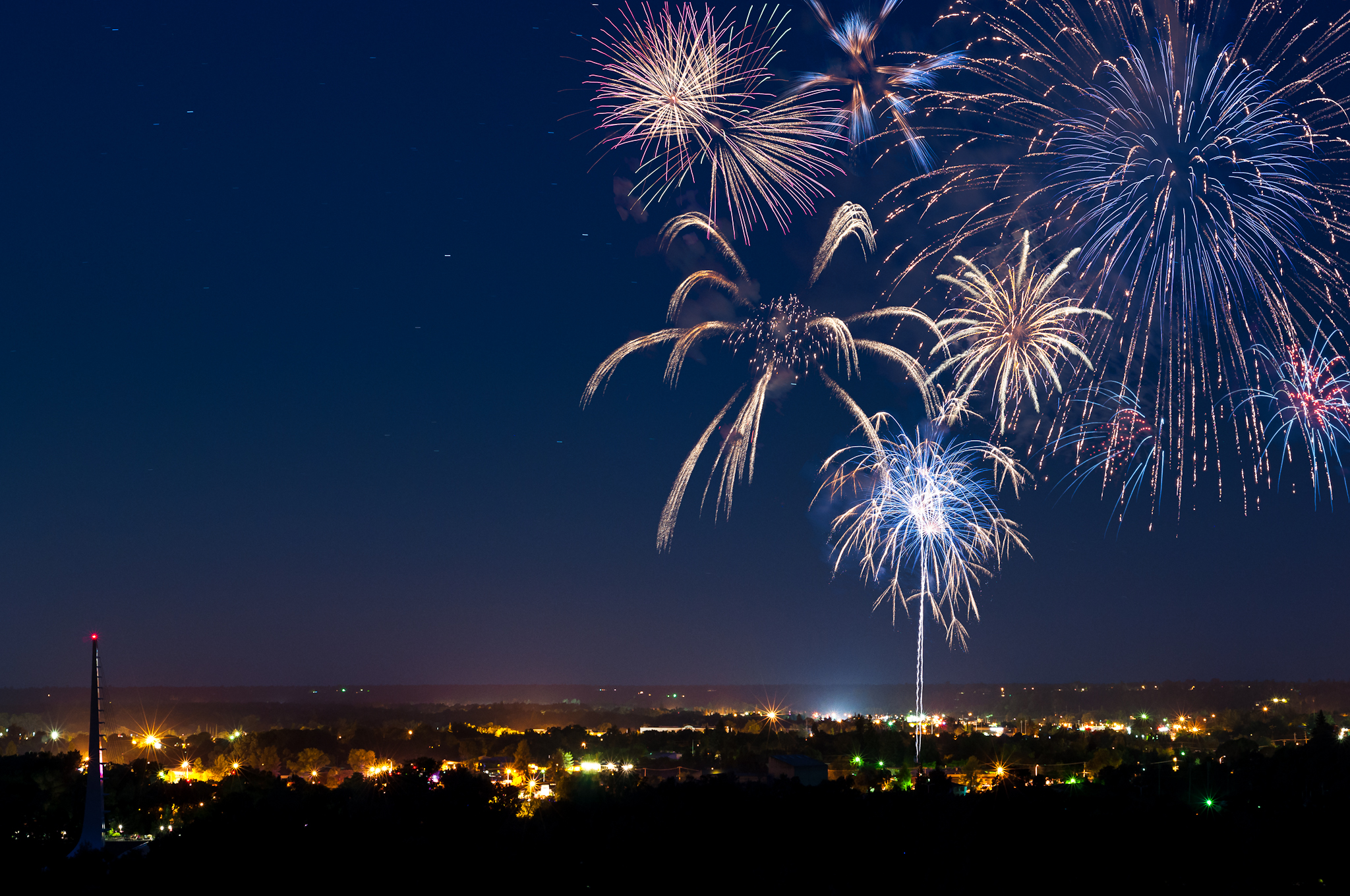
Redding 4th of July Fireworks
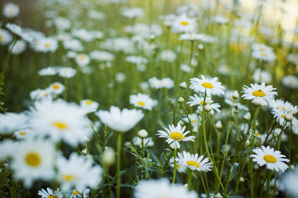
Flower Save the Hours

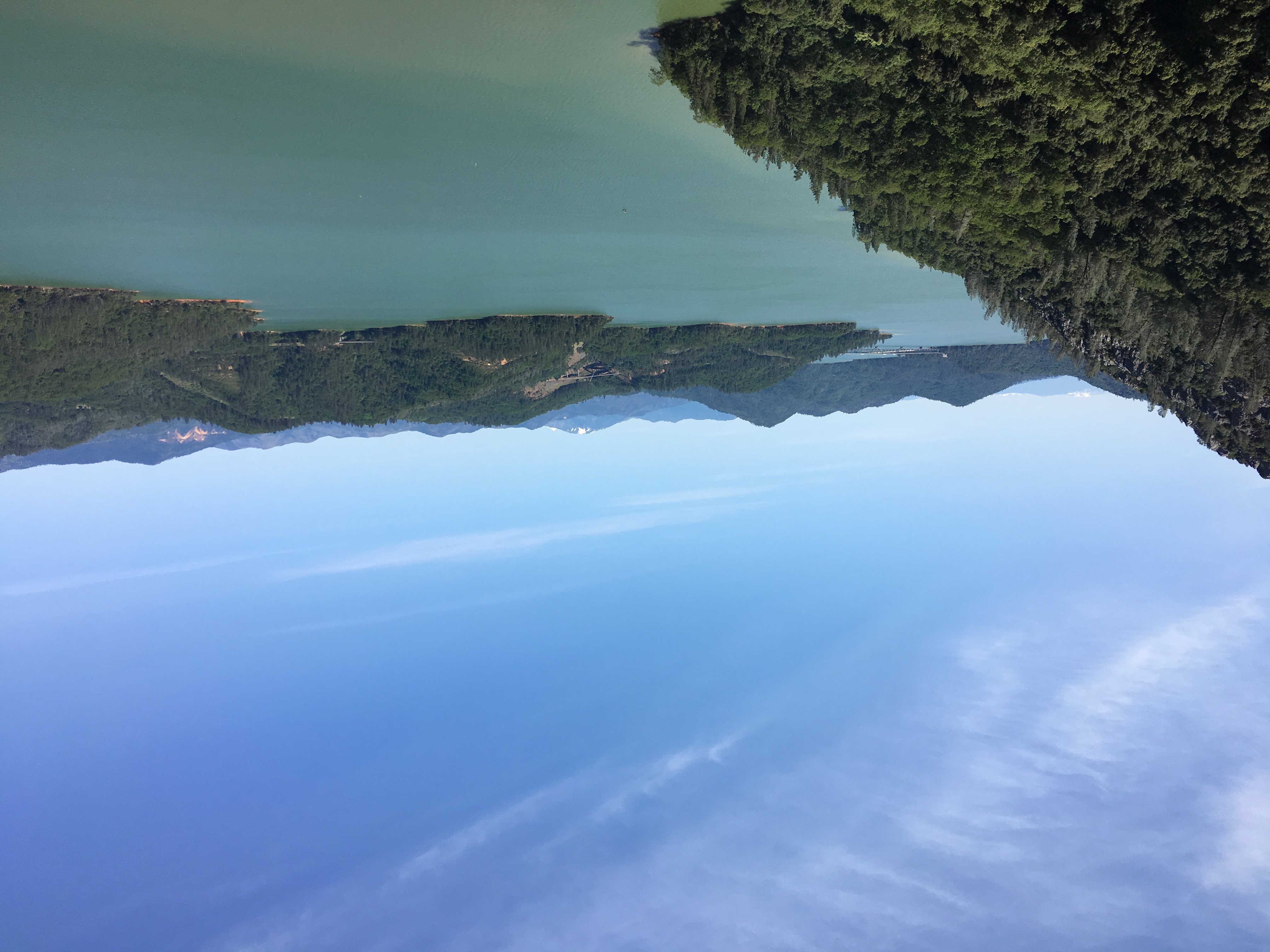
Lake Shasta
171124 Black Friday gold-001J
Lights/abstract

Red Along a River
46. Lake Shasta Caverns, Shasta, California

Hipstamatic Jones Valley

Lake Sentinel
Sunrise at Simpson [03.29.13]
Shasta Dam Boulevard [03.28.13]
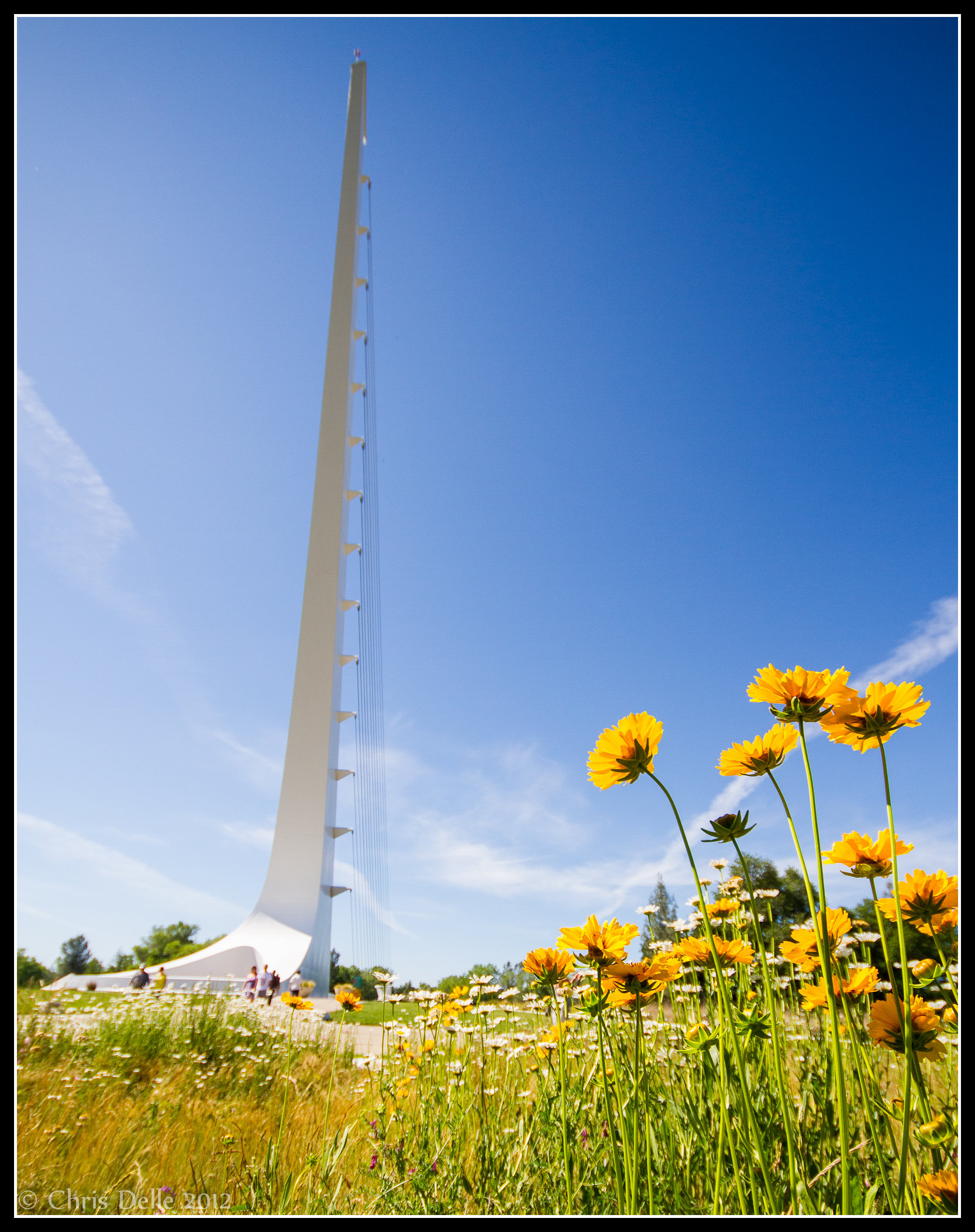
Sundial Spring
Mount Shasta

A Path of Exploration and Learning - Turtle Bay Exploration Park - Redding, Shasta County, California
Dried Lake

Hipstamatic 210 Holiday Harbor Panorama
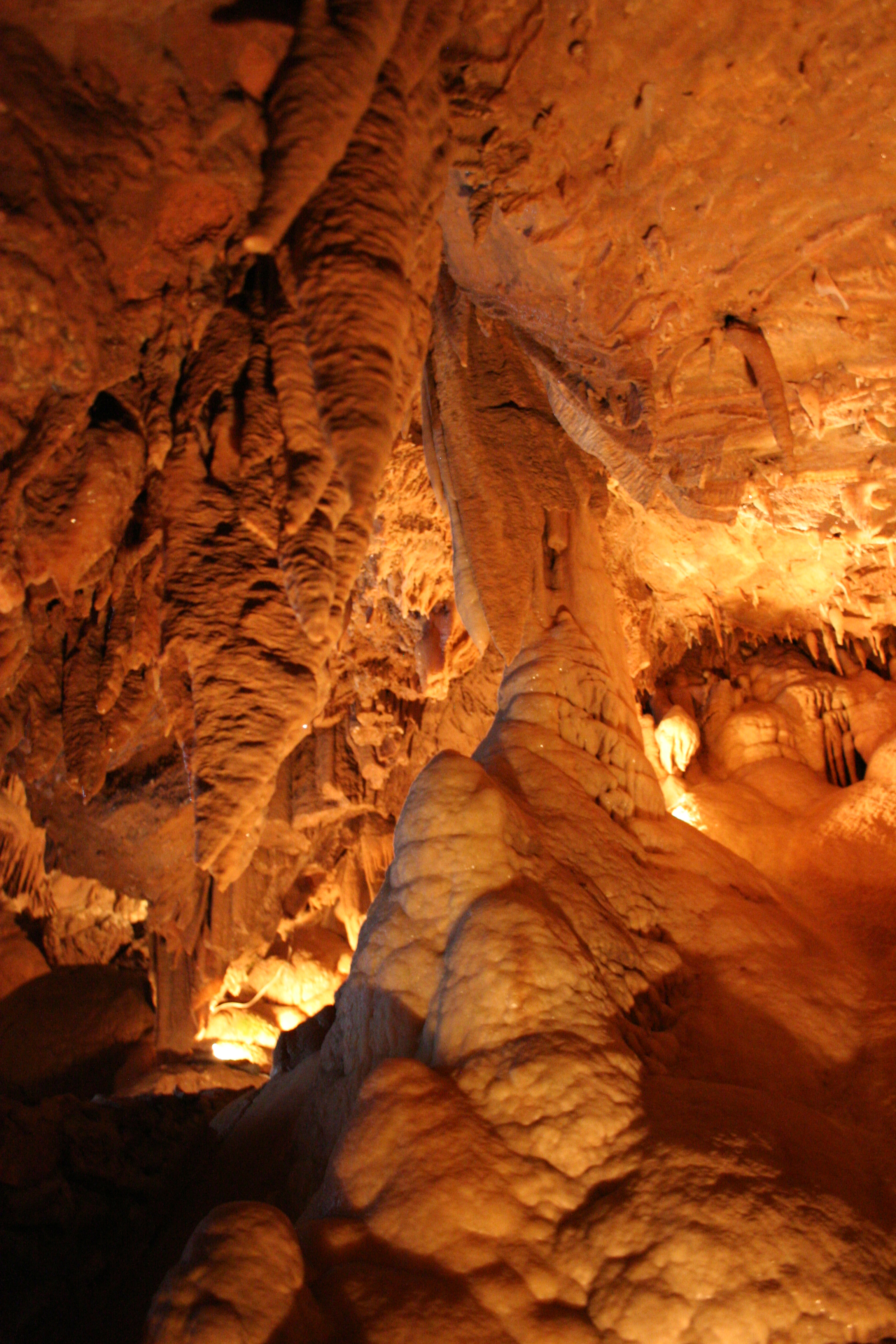
Lake Shasta Caverns
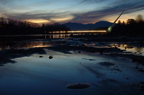
Sundial Bridge / Sacramento River
Topographic Map of Creek Trail, Redding, CA, USA
Find elevation by address:

Places near Creek Trail, Redding, CA, USA:
13826 Valley Creek Ln
13706 Four Oaks Ct
13990 Oscar Pl
13632 Creek Trail
13632 Creek Trail
13632 Creek Trail
13632 Creek Trail
Bear Mountain Road
21293 Jennifer Dr
21293 Jennifer Dr
21812 Elk Trail W
21812 Elk Trail W
21812 Elk Trail W
20920 Dorothy Ln
14463 Moss Dr
13416 Luna Dr
13167 Hidden Oaks Trail
Ravine Rd, Redding, CA, USA
14694 Bollibokka Way
13278 Bear Mountain Rd
Recent Searches:
- Elevation of Royal Ontario Museum, Queens Park, Toronto, ON M5S 2C6, Canada
- Elevation of Groblershoop, South Africa
- Elevation of Power Generation Enterprises | Industrial Diesel Generators, Oak Ave, Canyon Country, CA, USA
- Elevation of Chesaw Rd, Oroville, WA, USA
- Elevation of N, Mt Pleasant, UT, USA
- Elevation of 6 Rue Jules Ferry, Beausoleil, France
- Elevation of Sattva Horizon, 4JC6+G9P, Vinayak Nagar, Kattigenahalli, Bengaluru, Karnataka, India
- Elevation of Great Brook Sports, Gold Star Hwy, Groton, CT, USA
- Elevation of 10 Mountain Laurels Dr, Nashua, NH, USA
- Elevation of 16 Gilboa Ln, Nashua, NH, USA