Elevation of Bayside, TX, USA
Location: United States > Texas > Refugio County >
Longitude: -97.214713
Latitude: 28.0939035
Elevation: 5m / 16feet
Barometric Pressure: 101KPa
Elevation Map:
Satellite Map:
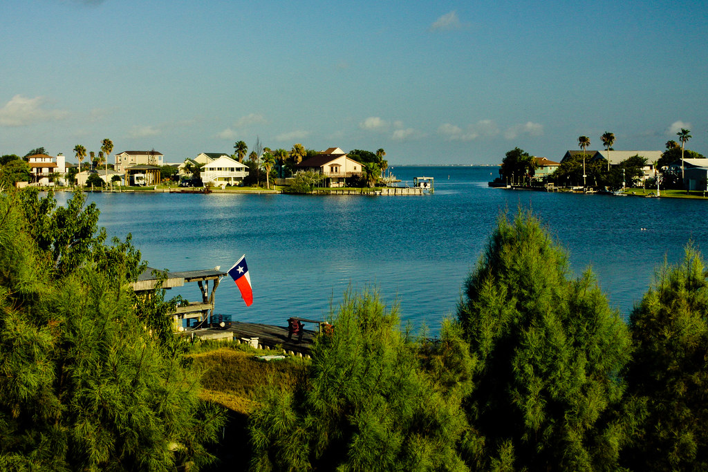
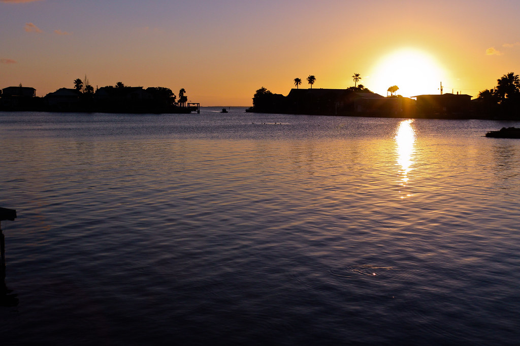
Related Photos:
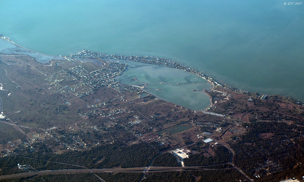
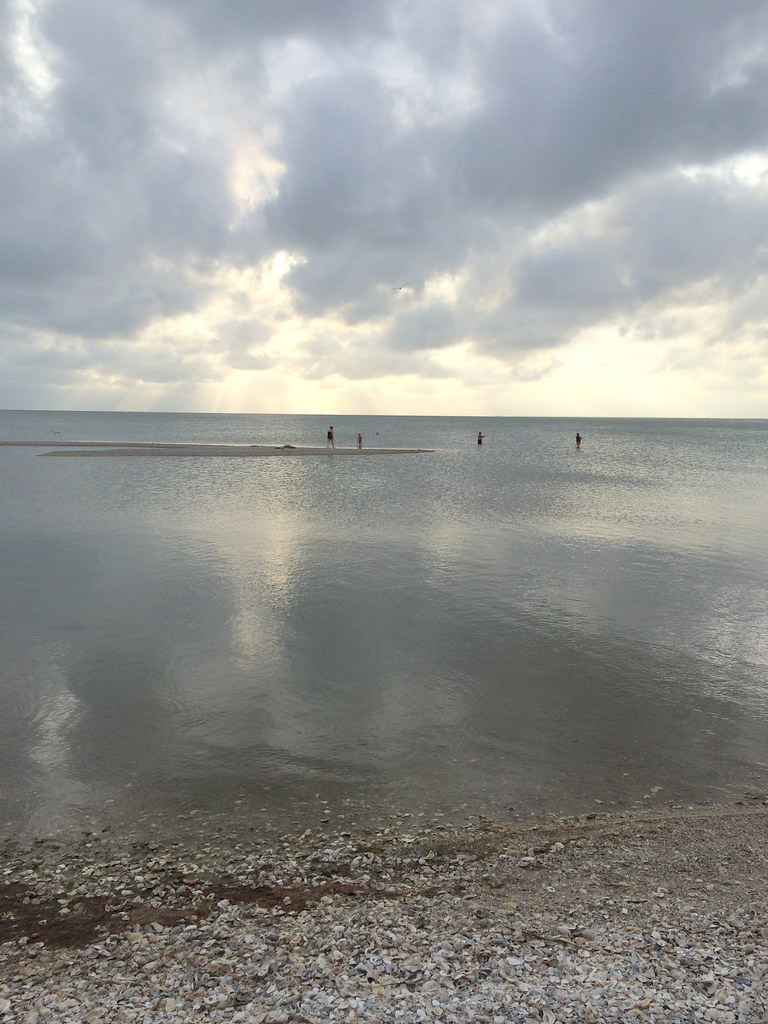
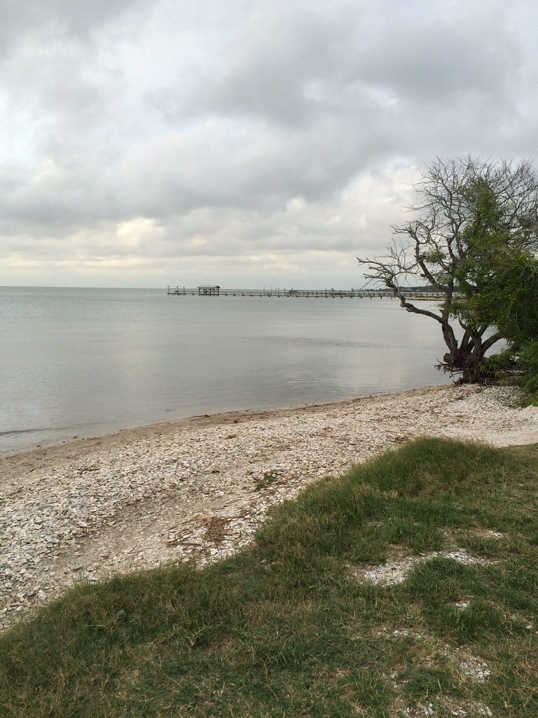
Salt Lake
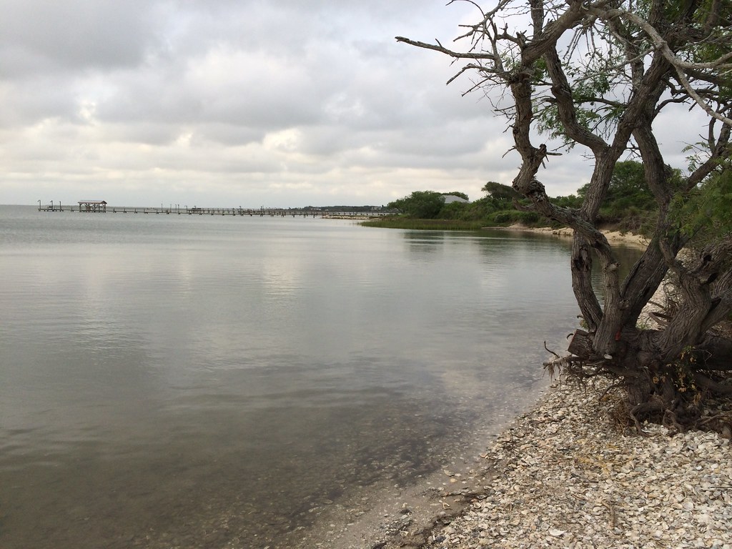
Beyond to Salt Lake

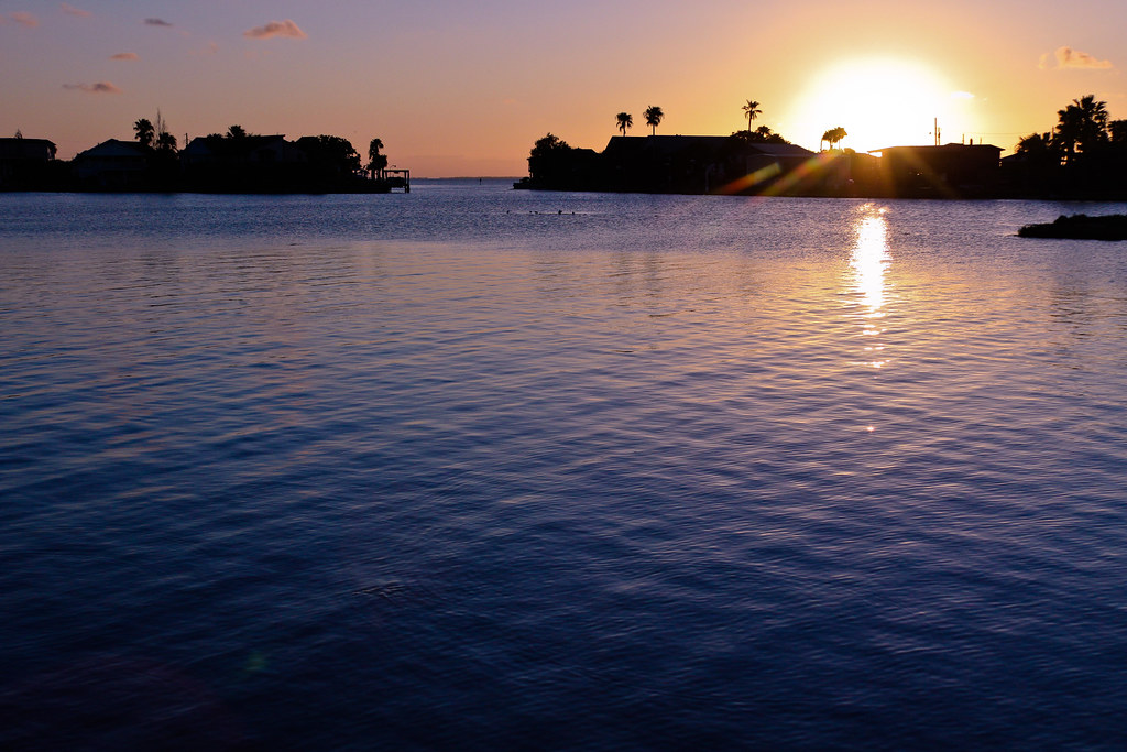
Sunset at Copano Bay - 07

Sunset at Copano Bay - 04

Sunset at Copano Bay - 05
Bay Sunset-1
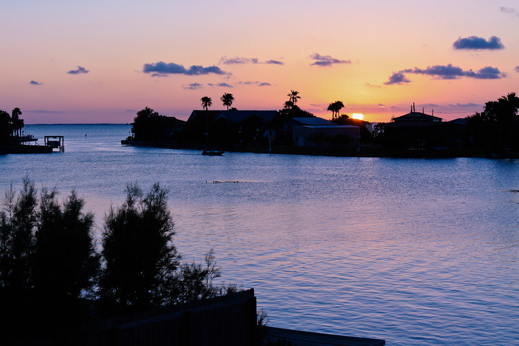
Bay Sunset-3

Sunset at Copano Bay - 06
Bay Sunset-2

DSC_0232_edited-1
Howard Murphy Park Rockport Texas IMG_7414

Sunset at Crofutts - 1

Howard Murphy Park Rockport Texas IMG_7434
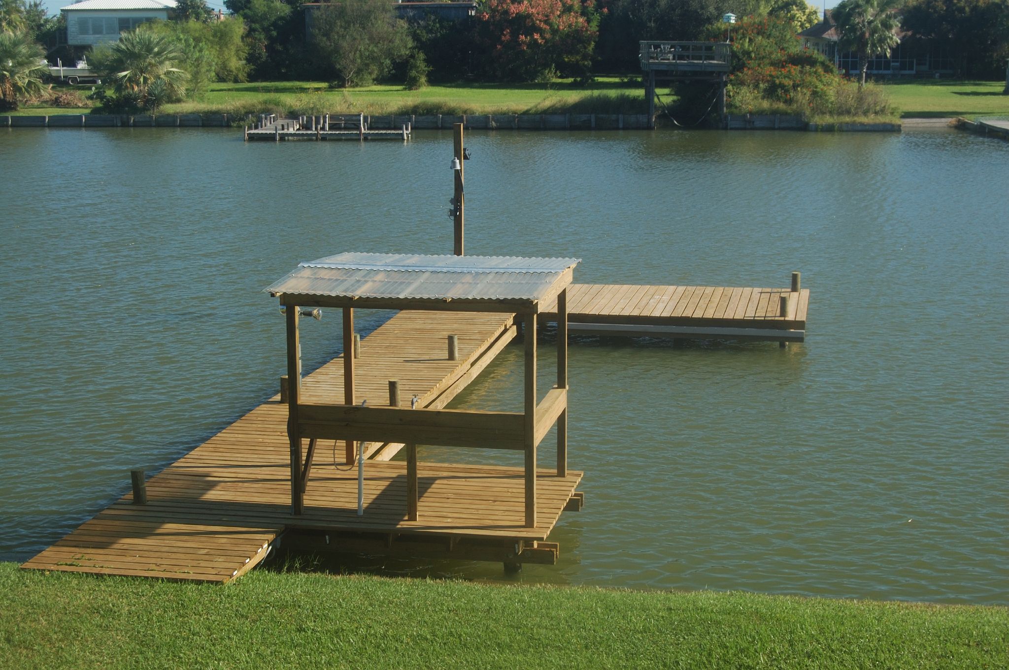
The New Dock 1

Sunset at Crofutts - 2
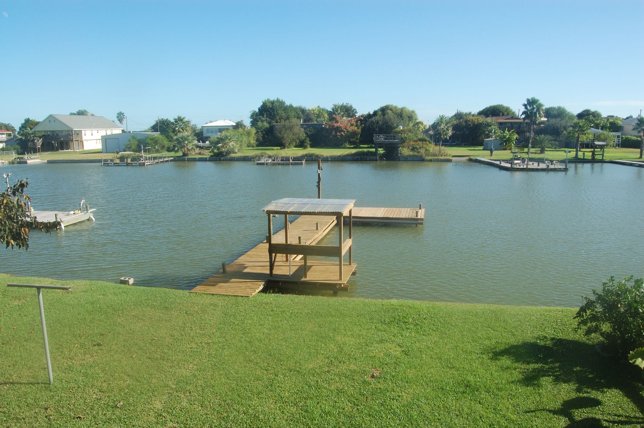
The New Dock 2
Howard Murphy Park Rockport Texas IMG_7435
Howard Murphy Park Rockport Texas IMG_7428

Sunset at Copano Bay - 11
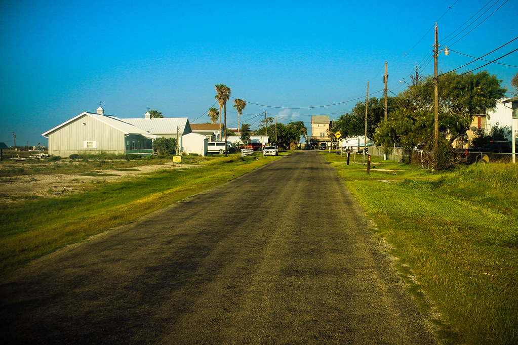
A Street Near the Lake

Bay Sunset-4
Topographic Map of Bayside, TX, USA
Find elevation by address:

Places in Bayside, TX, USA:
Places near Bayside, TX, USA:
510 3rd St
503 1st St
Division
1001 2nd St
1212 2nd St
1806 1st St
Joey, Taft, TX, USA
102 Southwind Dr
30 Peet's Bend Dr
17 Peet's Bend Dr
740 Copano Cove Rd
102 W Speckled Trout Ln
129 Sunrise Dr
137 Sunrise Dr
Cape Velero Drive
437 Copano Ridge Rd
121 Dockside Dr
142 Ling Rd
208 Drum Dr
111 Ridge Harbor Dr
Recent Searches:
- Elevation of Calais Dr, Del Mar, CA, USA
- Elevation of Placer Mine Ln, West Jordan, UT, USA
- Elevation of E 63rd St, New York, NY, USA
- Elevation of Elk City, OK, USA
- Elevation of Erika Dr, Windsor, CA, USA
- Elevation of Village Ln, Finleyville, PA, USA
- Elevation of 24 Oakland Rd #, Scotland, ON N0E 1R0, Canada
- Elevation of Deep Gap Farm Rd E, Mill Spring, NC, USA
- Elevation of Dog Leg Dr, Minden, NV, USA
- Elevation of Dog Leg Dr, Minden, NV, USA