Elevation map of Bathinda, Punjab, India
Location: India > Punjab >
Longitude: 75.0611147
Latitude: 30.1252438
Elevation: 209m / 686feet
Barometric Pressure: 99KPa
Elevation Map:
Satellite Map:
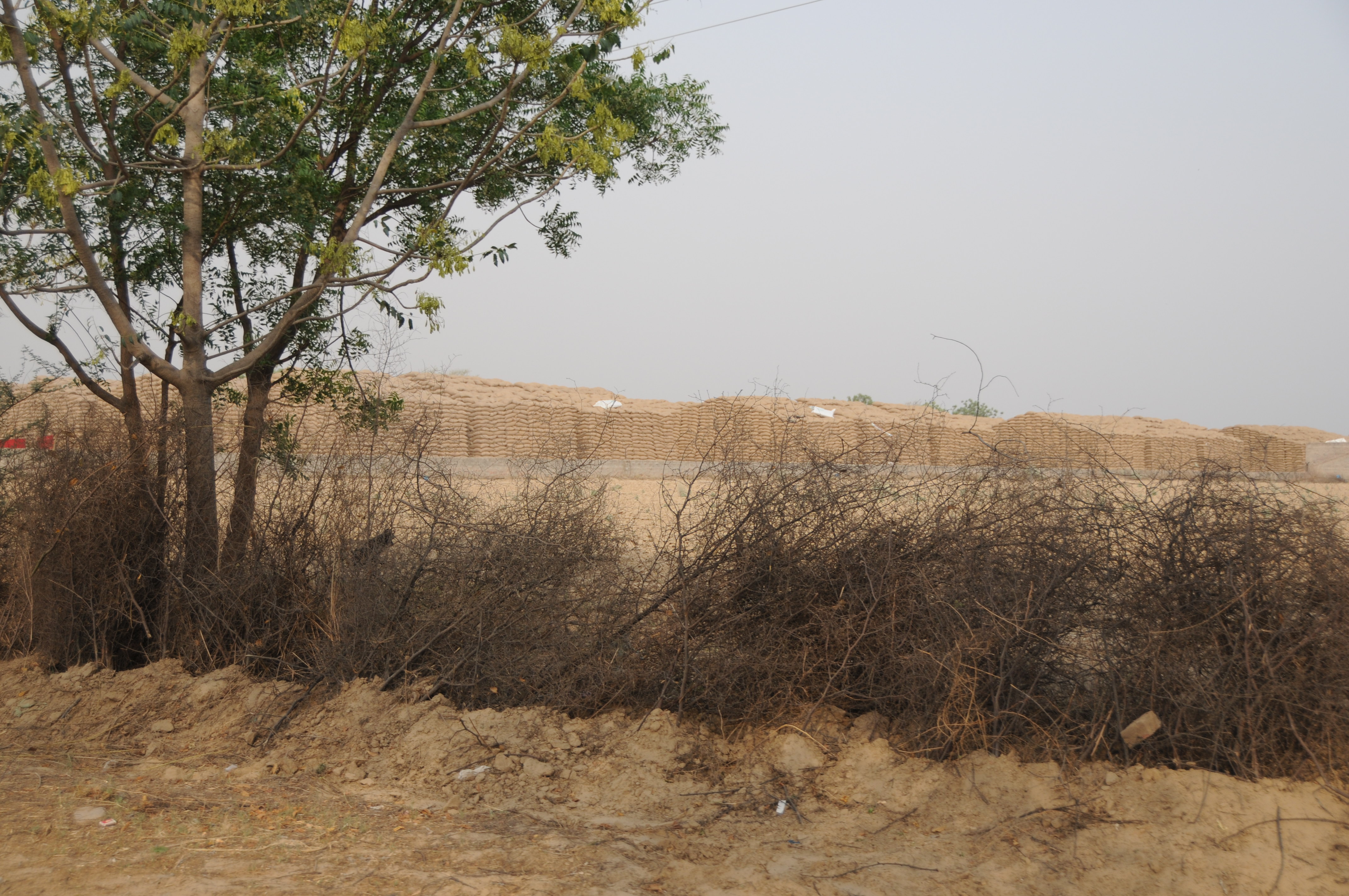
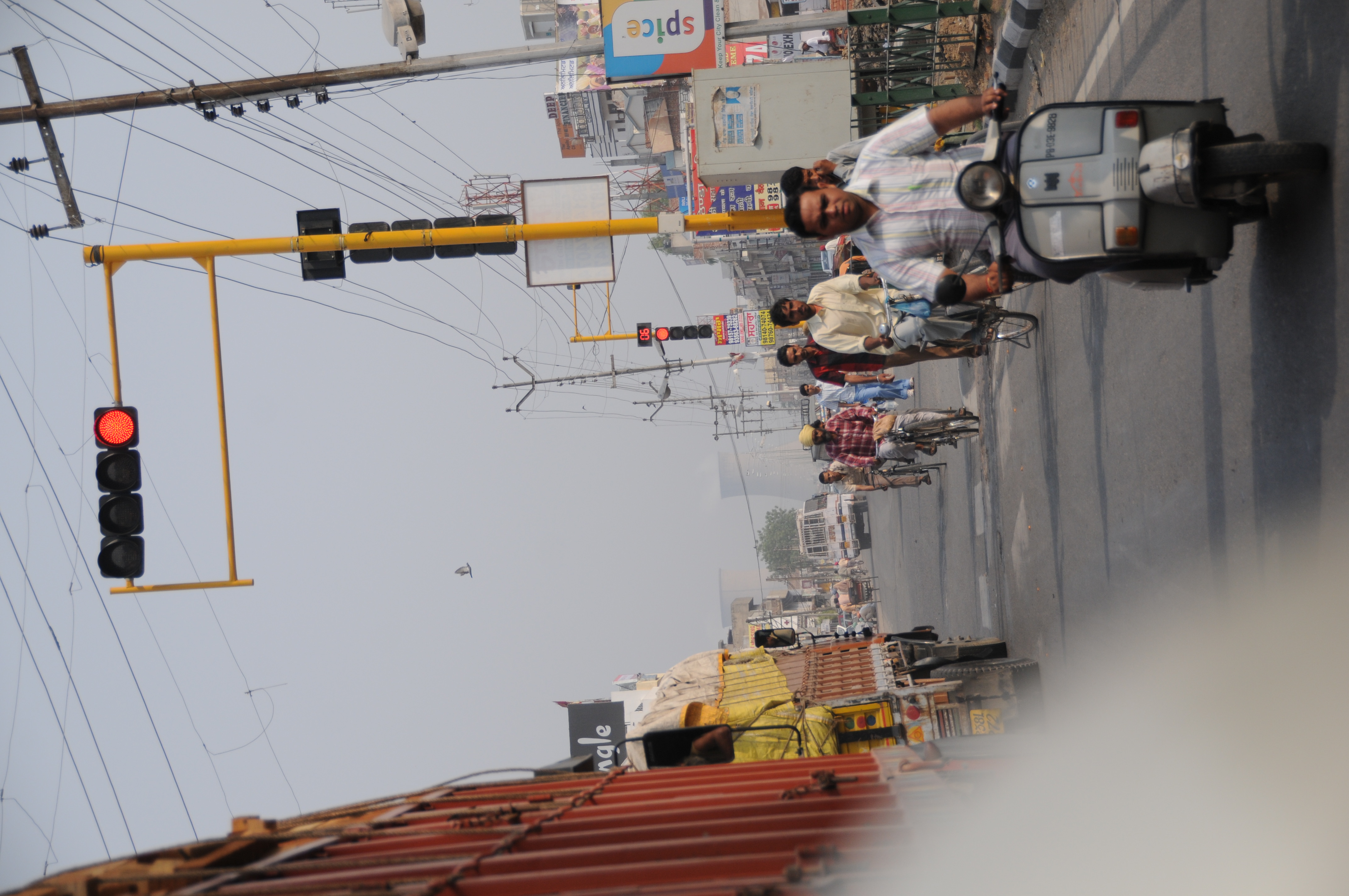
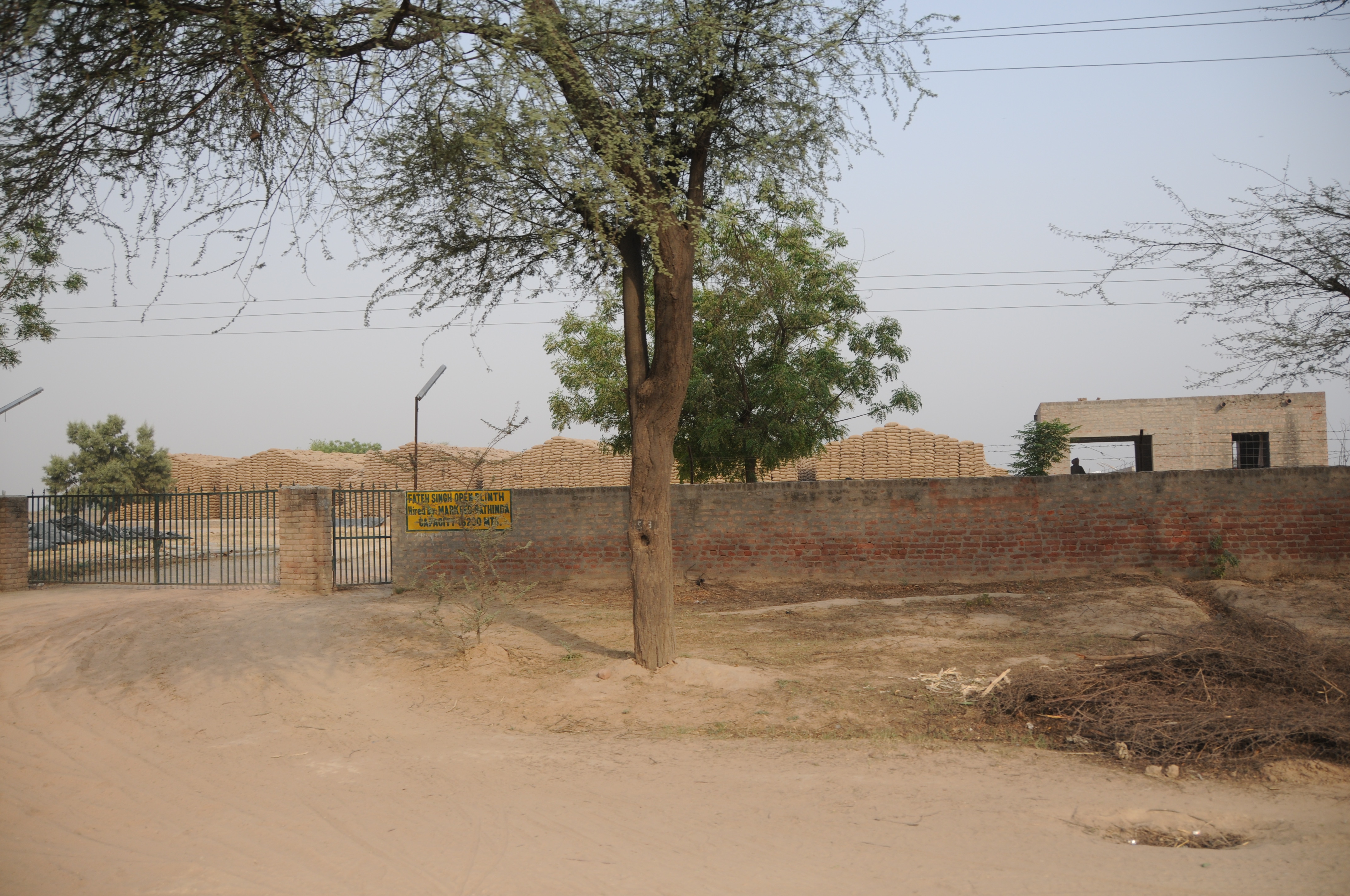
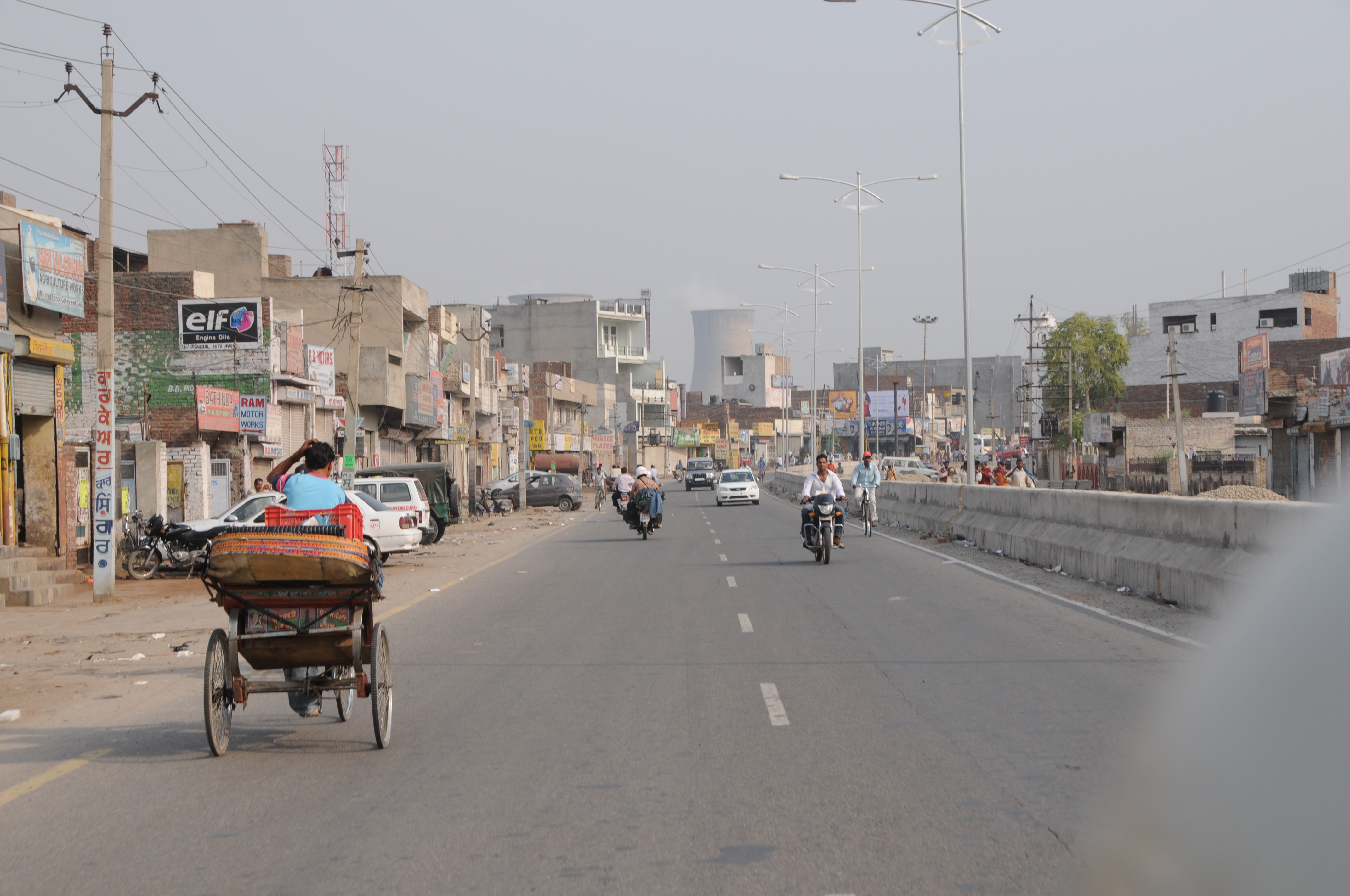
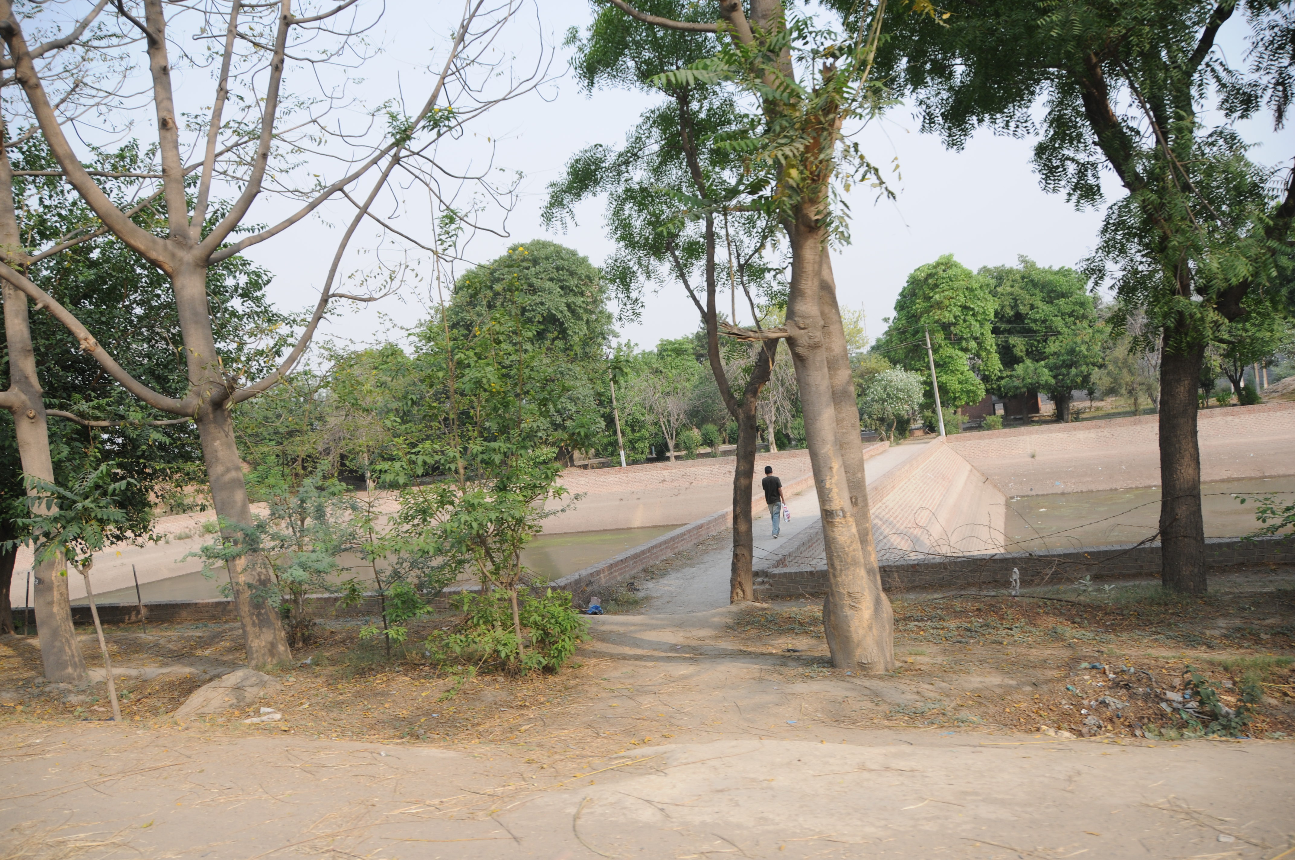
Related Photos:
CSP_8862.JPG
CSP_8871.JPG

CSP_8872.JPG
CSP_8873.JPG
CSP_8870.JPG
CSP_8861.JPG
CSP_8868.JPG
CSP_8860.JPG
CSP_8875.JPG
CSP_8863.JPG
CSP_8869.JPG
CSP_8874.JPG
CSP_8866.JPG

CSP_8867.JPG
CSP_8865.JPG
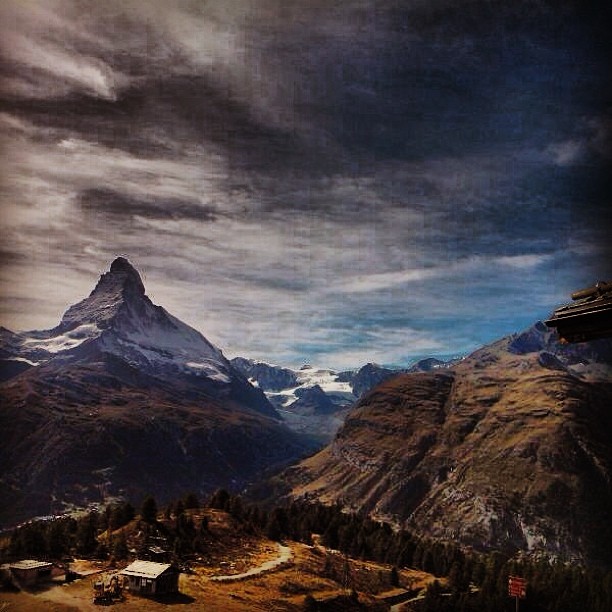
Mt.Matterhurne : Old Monk Visiting The Swiss Alps !!
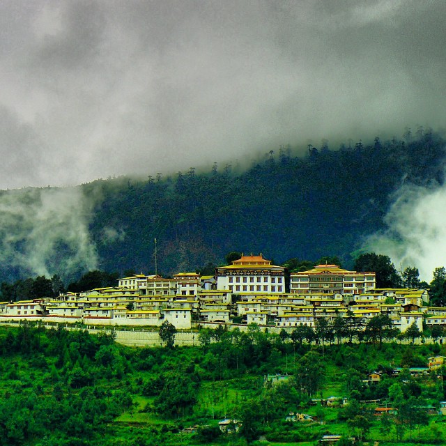
Perspective !!
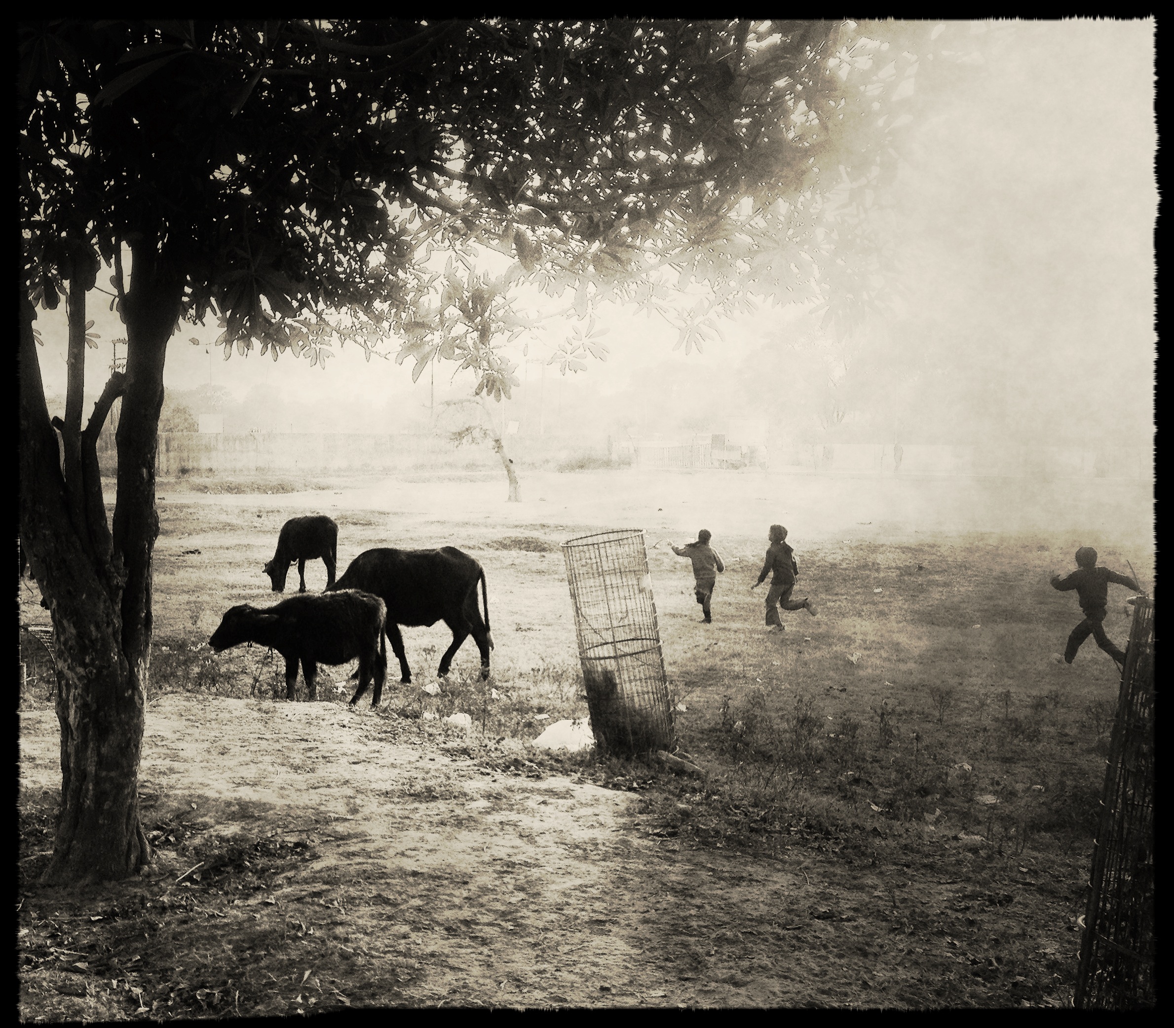
The happy herders...!!!
Topographic Map of Bathinda, Punjab, India
Find elevation by address:

Places in Bathinda, Punjab, India:
Places near Bathinda, Punjab, India:
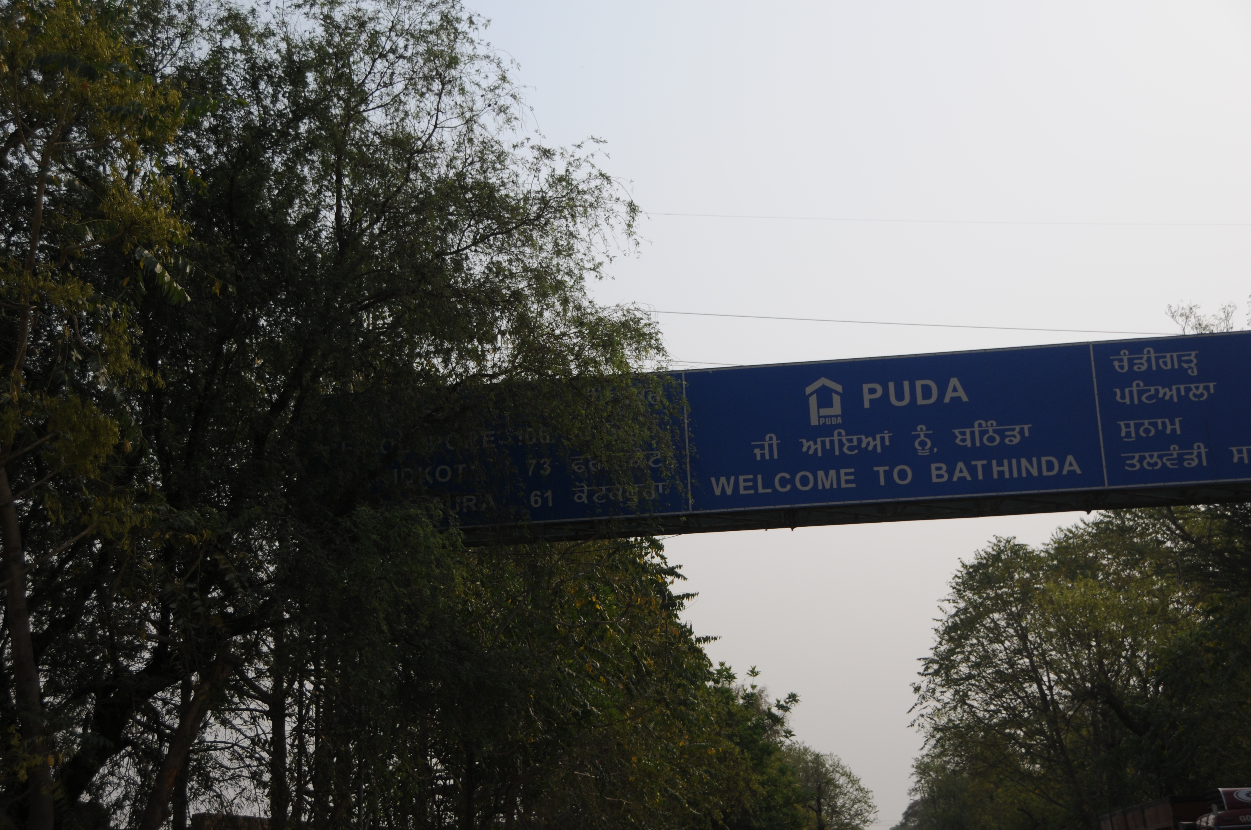
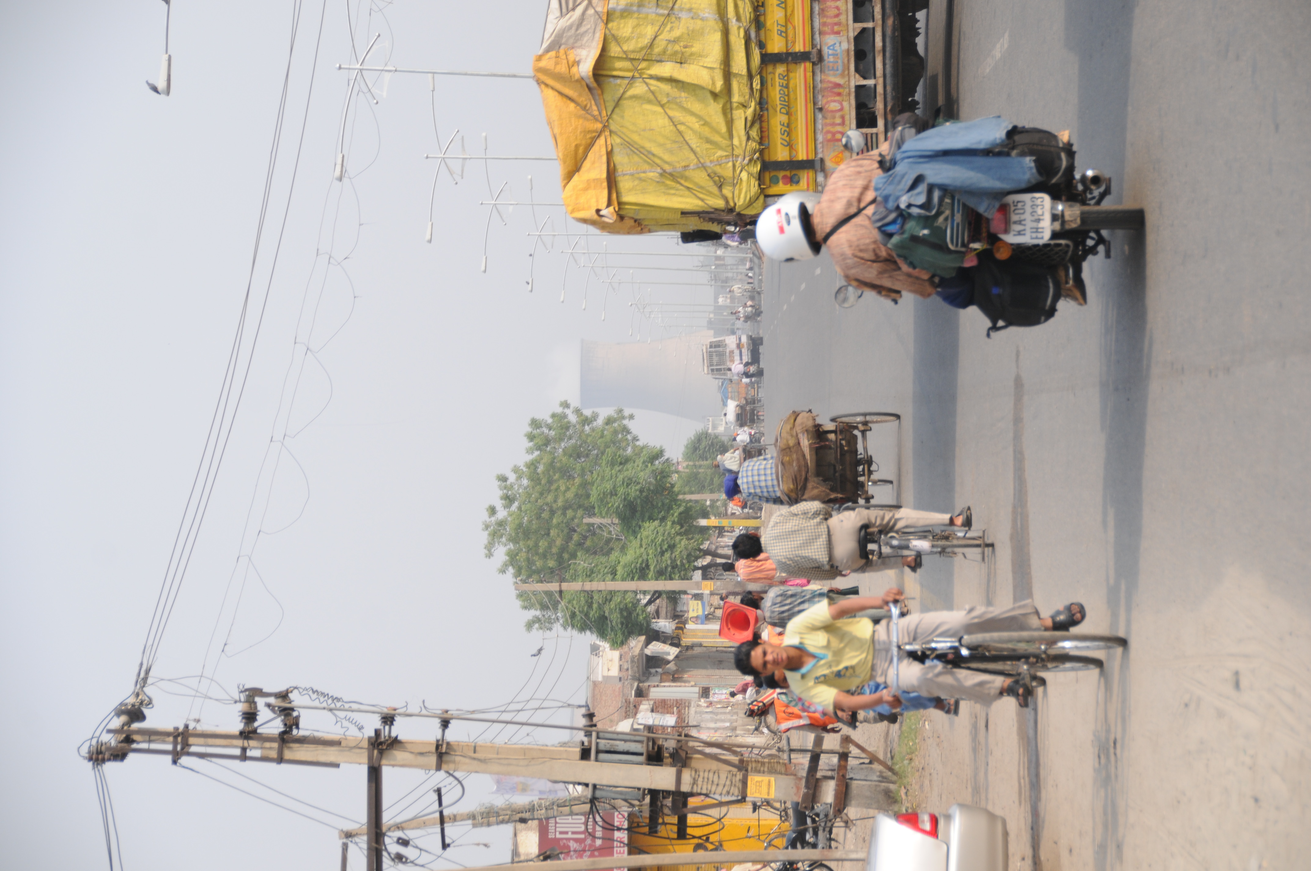
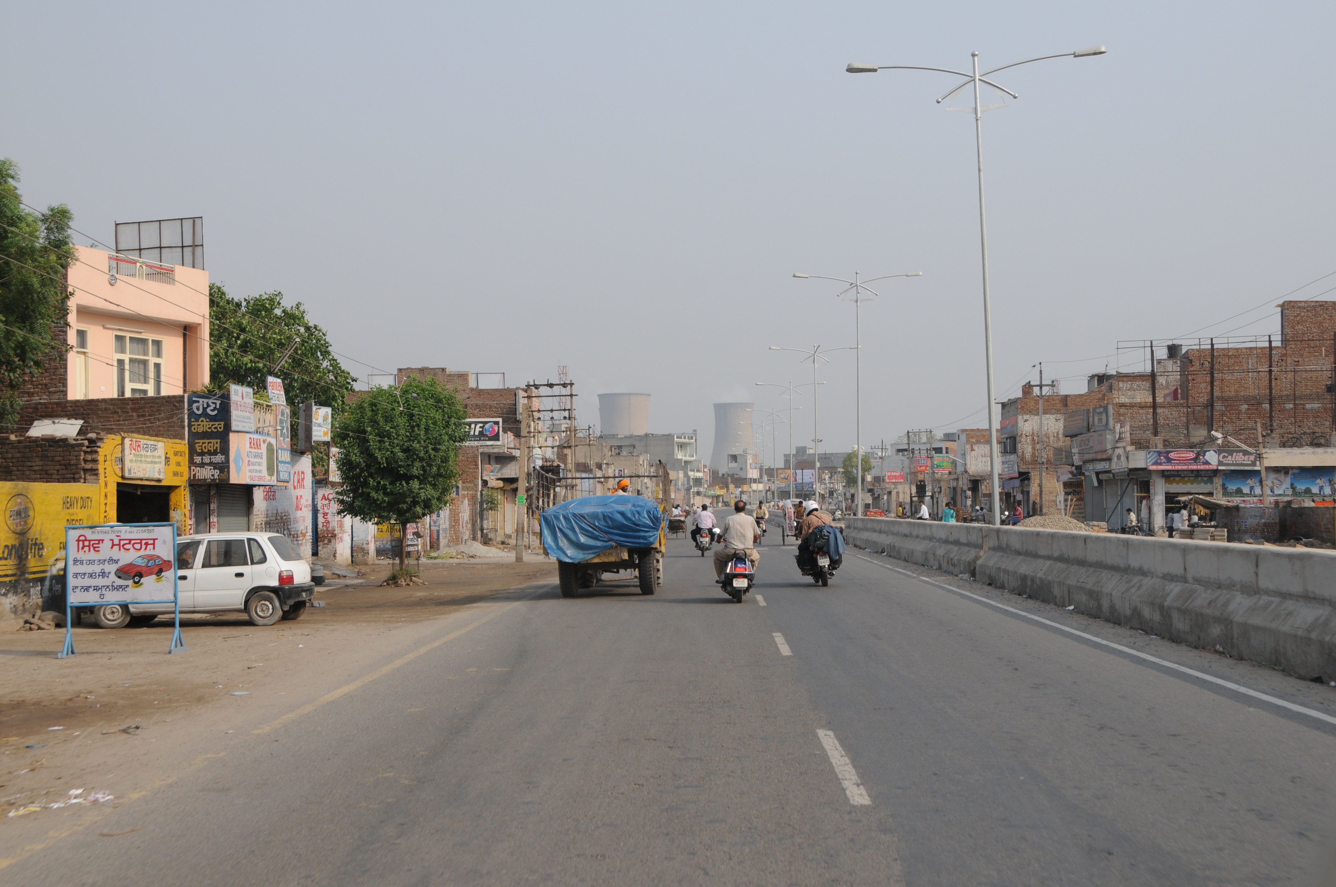
Bathinda
Aggarwal Colony
Street Number 6, Aggarwal Colony, Bathinda, Punjab, India
Sangat
Rampura Phul
Dhillwan
Mandi Dabwali
Barnala
Moga
Sirsa
Sirsa
Moga
Fatehabad
Lehragaga
Jagraon
Sangrur
Sangrur
Sangala
Malerkotla
Phagla
Recent Searches:
- Elevation of 6 Rue Jules Ferry, Beausoleil, France
- Elevation of Sattva Horizon, 4JC6+G9P, Vinayak Nagar, Kattigenahalli, Bengaluru, Karnataka, India
- Elevation of Great Brook Sports, Gold Star Hwy, Groton, CT, USA
- Elevation of 10 Mountain Laurels Dr, Nashua, NH, USA
- Elevation of 16 Gilboa Ln, Nashua, NH, USA
- Elevation of Laurel Rd, Townsend, TN, USA
- Elevation of 3 Nestling Wood Dr, Long Valley, NJ, USA
- Elevation of Ilungu, Tanzania
- Elevation of Yellow Springs Road, Yellow Springs Rd, Chester Springs, PA, USA
- Elevation of Rēzekne Municipality, Latvia