Elevation of Barnala, Punjab, India
Location: India > Punjab >
Longitude: 75.4810786
Latitude: 30.398872
Elevation: 229m / 751feet
Barometric Pressure: 99KPa
Elevation Map:
Satellite Map:
Related Photos:

Unsafe roads and bridges

Sky,hand,chocolate
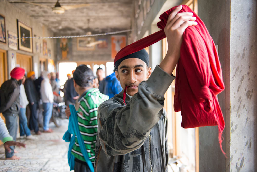
Pagri Sambhal Singha (ਪਗੜੀ ਸੰਭਾਲ ਸਿੰਘਾ)
Topographic Map of Barnala, Punjab, India
Find elevation by address:

Places in Barnala, Punjab, India:
Places near Barnala, Punjab, India:
Dhillwan
Rampura Phul
Sangrur
Moga
Sangrur
Jagraon
Sangala
Malerkotla
Bathinda
Moga
Lehragaga
Street Number 6, Aggarwal Colony, Bathinda, Punjab, India
Aggarwal Colony
Bathinda
Phagla
825/a
Vishal Nagar
Kabir Nagar
Pre Wedding Photography Planar Ludhiana Shooting Enjoy Dj.s Weston Bhangra Song. Recoding Hd Album
Ludhiana
Recent Searches:
- Elevation of 6 Rue Jules Ferry, Beausoleil, France
- Elevation of Sattva Horizon, 4JC6+G9P, Vinayak Nagar, Kattigenahalli, Bengaluru, Karnataka, India
- Elevation of Great Brook Sports, Gold Star Hwy, Groton, CT, USA
- Elevation of 10 Mountain Laurels Dr, Nashua, NH, USA
- Elevation of 16 Gilboa Ln, Nashua, NH, USA
- Elevation of Laurel Rd, Townsend, TN, USA
- Elevation of 3 Nestling Wood Dr, Long Valley, NJ, USA
- Elevation of Ilungu, Tanzania
- Elevation of Yellow Springs Road, Yellow Springs Rd, Chester Springs, PA, USA
- Elevation of Rēzekne Municipality, Latvia