Elevation of Bateshwar, Uttar Pradesh, India
Location: India > Uttar Pradesh > Agra >
Longitude: 78.5420307
Latitude: 26.9350608
Elevation: 140m / 459feet
Barometric Pressure: 100KPa
Elevation Map:
Satellite Map:
Related Photos:

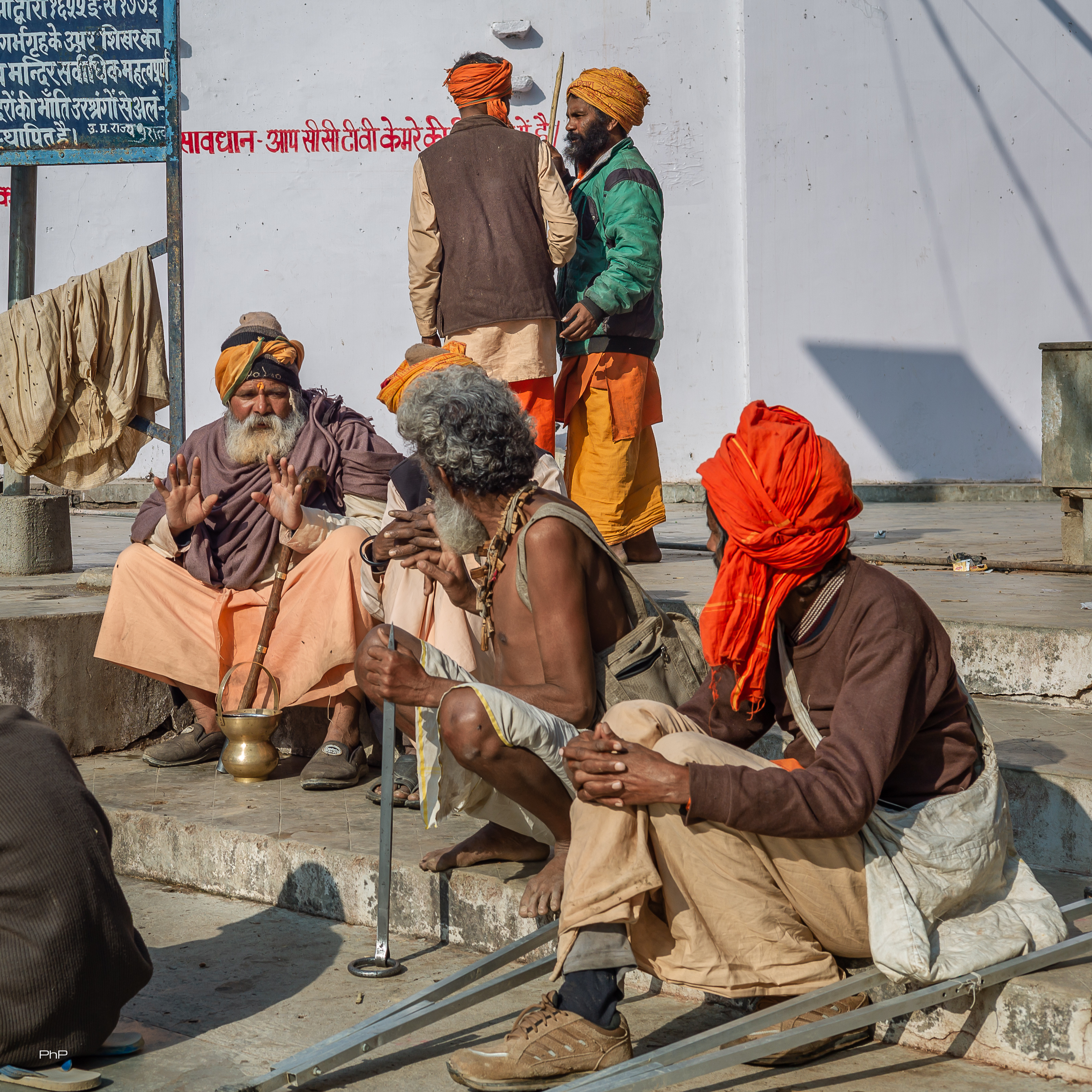
Cows in Yard

Veer Brahman Singh

Durga - Hindu Deity

Bats!

Bats!

Bats!

Spotted Owlet

Bats!

Temple bells

PHP_2581-2

PHP_2592-2

L1003128-2

L1003117-2
L1003134-2

L1003107-2

L1003106-2

L1003102-2

L1003090-2

L1003068-Edit

L1003047-Edit

L1003014-Edit

L1003064-Edit
Topographic Map of Bateshwar, Uttar Pradesh, India
Find elevation by address:

Places near Bateshwar, Uttar Pradesh, India:
Firozabad
Firozabad
Avanti Bai Kanya Inter College
Kuberpur
The Oberoi Amarvilas
Forest Colony
Dharmapuri
Taj Mahal
Unnamed Road
Agra
Agra
Etah
Runkata
Dolphin Water Park
Amapur Road
Kasganj
Fatehpur Sikri
Jakharudder Pur
Dhaulpur
Soron
Recent Searches:
- Elevation of Lampiasi St, Sarasota, FL, USA
- Elevation of Elwyn Dr, Roanoke Rapids, NC, USA
- Elevation of Congressional Dr, Stevensville, MD, USA
- Elevation of Bellview Rd, McLean, VA, USA
- Elevation of Stage Island Rd, Chatham, MA, USA
- Elevation of Shibuya Scramble Crossing, 21 Udagawacho, Shibuya City, Tokyo -, Japan
- Elevation of Jadagoniai, Kaunas District Municipality, Lithuania
- Elevation of Pagonija rock, Kranto 7-oji g. 8"N, Kaunas, Lithuania
- Elevation of Co Rd 87, Jamestown, CO, USA
- Elevation of Tenjo, Cundinamarca, Colombia