Elevation map of Dhaulpur, Rajasthan, India
Location: India > Rajasthan >
Longitude: 77.6536125
Latitude: 26.7253701
Elevation: 191m / 627feet
Barometric Pressure: 99KPa
Elevation Map:
Satellite Map:
Related Photos:

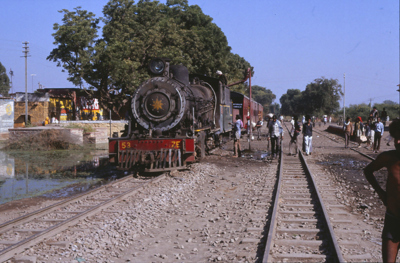
Tren Orccha - Agra
7739 Bari 6 december 1990

Main Market of Bari Town, Dholpur
Topographic Map of Dhaulpur, Rajasthan, India
Find elevation by address:

Places in Dhaulpur, Rajasthan, India:
Places near Dhaulpur, Rajasthan, India:
Fatehpur Sikri
Track My Location
Jawahar Nagar
Bharatpur
Agra
Dolphin Water Park
Runkata
Agra
Unnamed Road
The Oberoi Amarvilas
Taj Mahal
Dharmapuri
Forest Colony
Avanti Bai Kanya Inter College
Kuberpur
Mathura
Rajpur Khadar
Sadhu Bela Ashram, साधुबेला आश्रम।
Firozabad
Bateshwar
Recent Searches:
- Elevation of 62 Abbey St, Marshfield, MA, USA
- Elevation of Fernwood, Bradenton, FL, USA
- Elevation of Felindre, Swansea SA5 7LU, UK
- Elevation of Leyte Industrial Development Estate, Isabel, Leyte, Philippines
- Elevation of W Granada St, Tampa, FL, USA
- Elevation of Pykes Down, Ivybridge PL21 0BY, UK
- Elevation of Jalan Senandin, Lutong, Miri, Sarawak, Malaysia
- Elevation of Bilohirs'k
- Elevation of 30 Oak Lawn Dr, Barkhamsted, CT, USA
- Elevation of Luther Road, Luther Rd, Auburn, CA, USA