Elevation of Batavia Rd, Dixon, CA, USA
Location: United States > California > Dixon >
Longitude: -121.85839
Latitude: 38.406253
Elevation: 17m / 56feet
Barometric Pressure: 101KPa
Elevation Map:
Satellite Map:
Related Photos:

View from the ridge

IMG_8654_Honeybee at UC Davis Arboretum
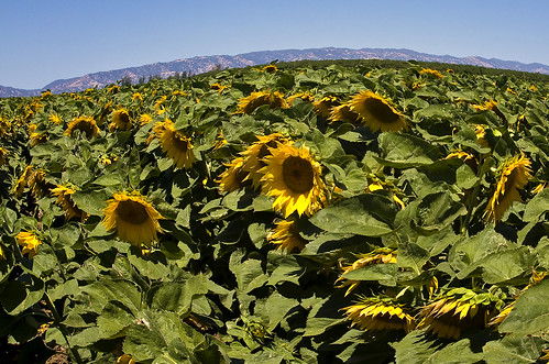
Sunflowers 1620
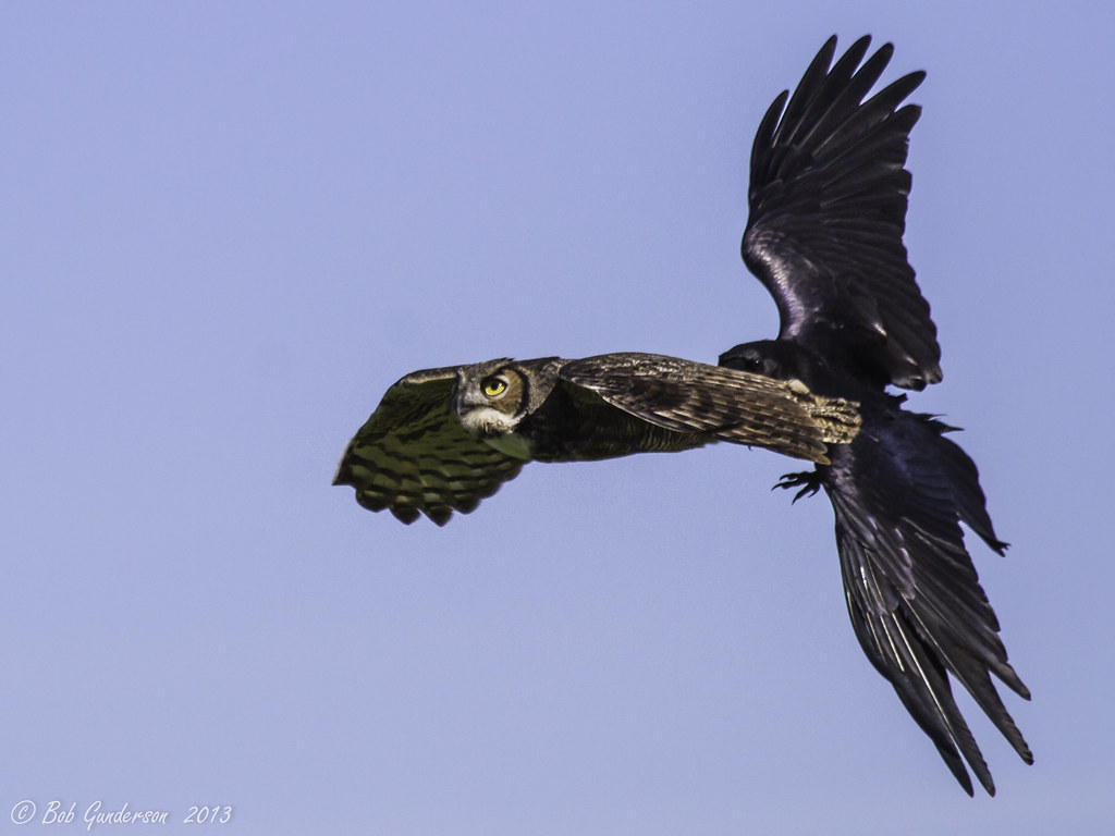
Great Horned Owl being harassed by a Common Raven (click to open for multiple views)
The view out my front door this morning

Vacaville FPD Station 65
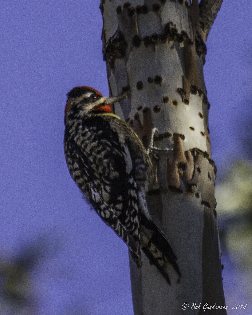
Red-naped Sapsucker (multiple views below)

Fairfield, CA

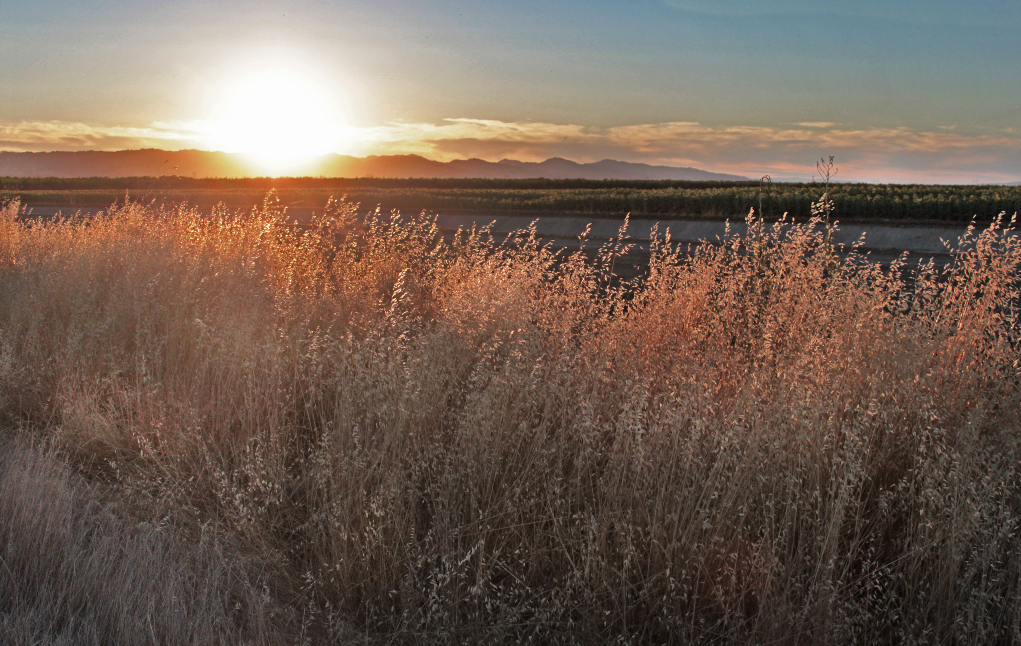
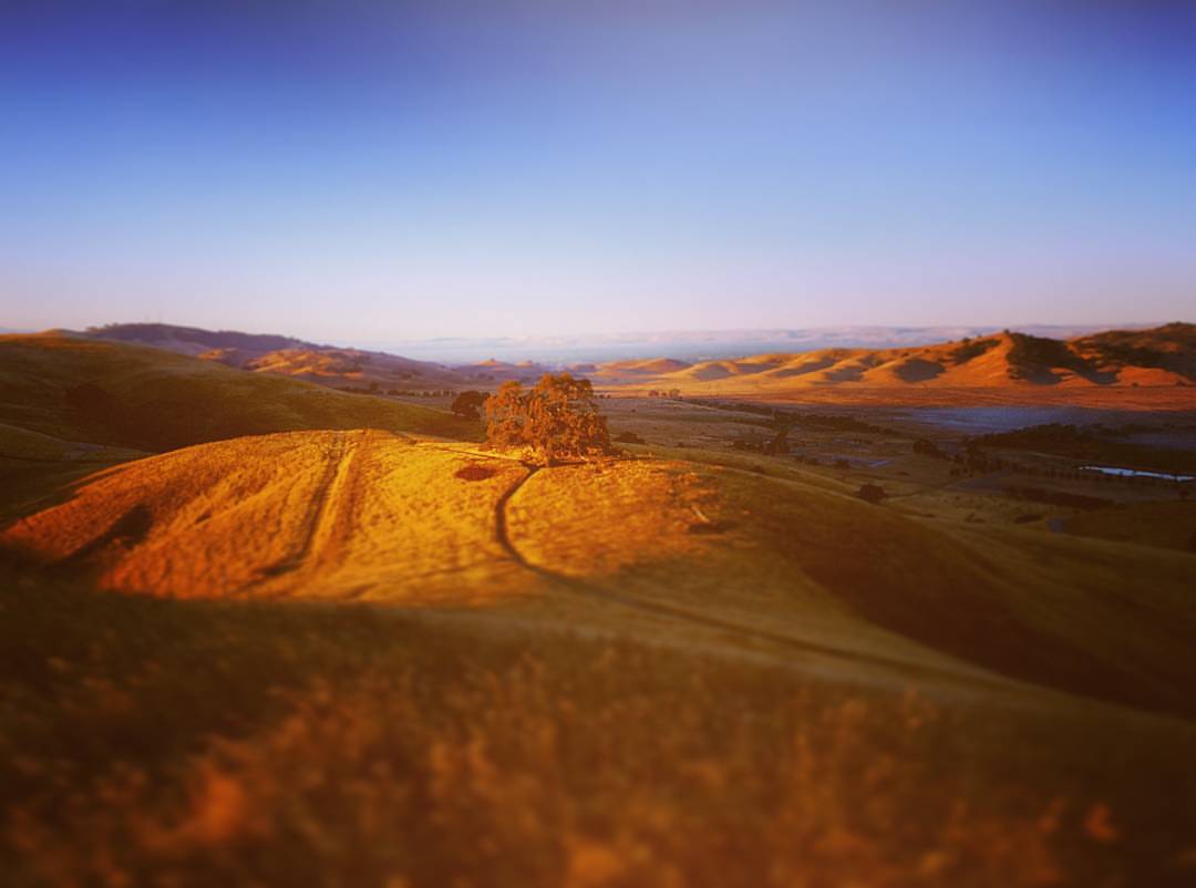
the long view
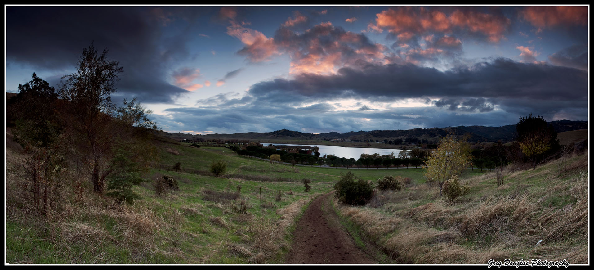
Valley So Low
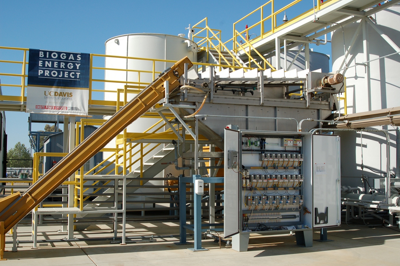
Full Scale Anaerobic Digester

Vacaville Photography Club

Cherry Glen Overlook
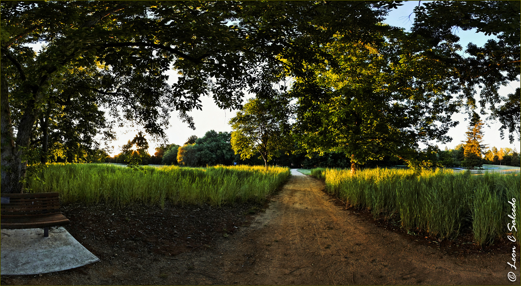
UC Davis Arboretum
Top View
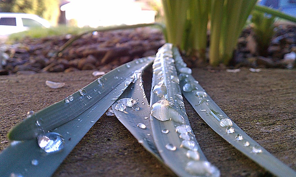
Ants eye view
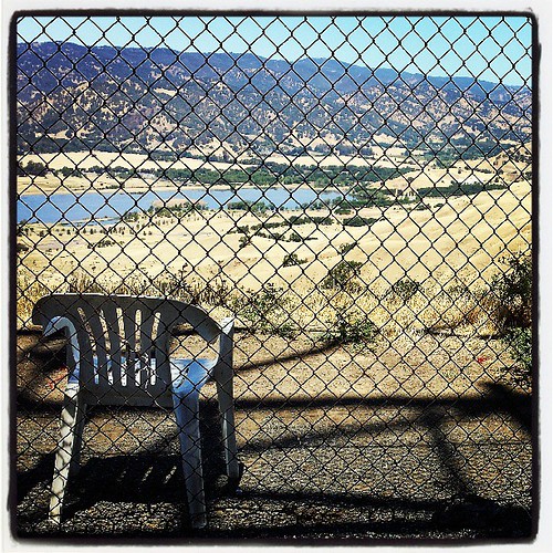
Lots of folks hike to this spot above Pena Adobe, here's a look from the other side of the barbed wire fence. Obviously, someone thinks this is a nice spot to sit and take in the view.
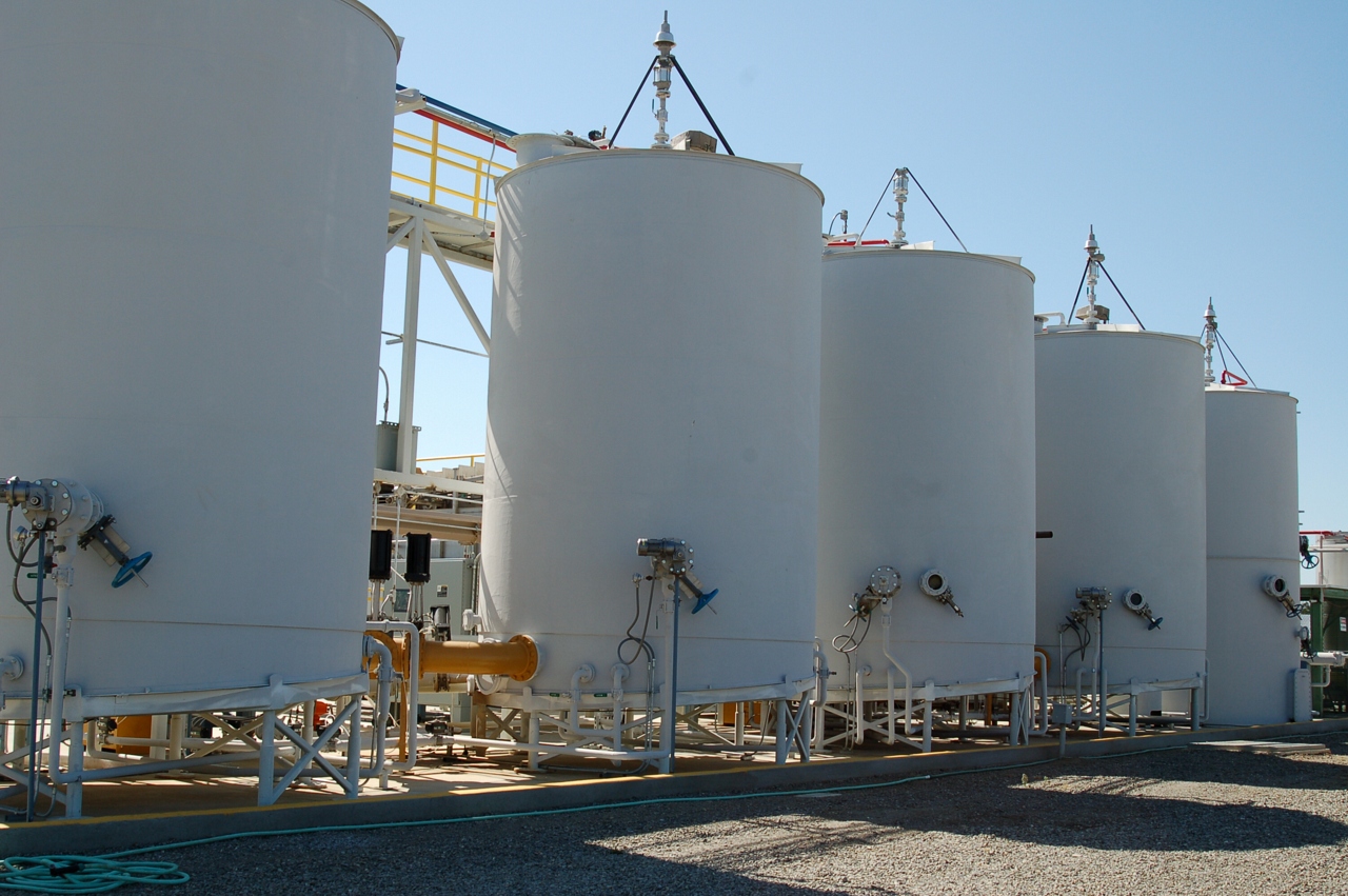
Tanks of the Anaerobic Digester
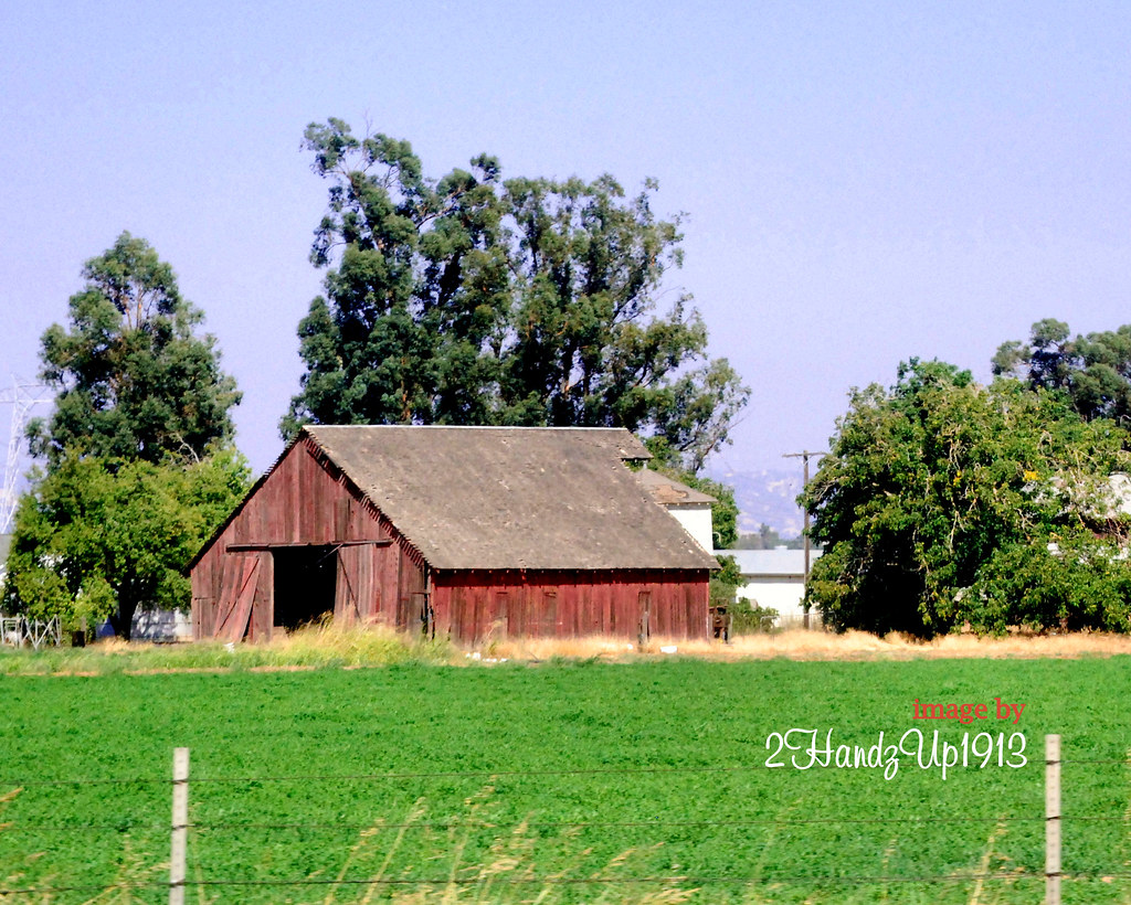
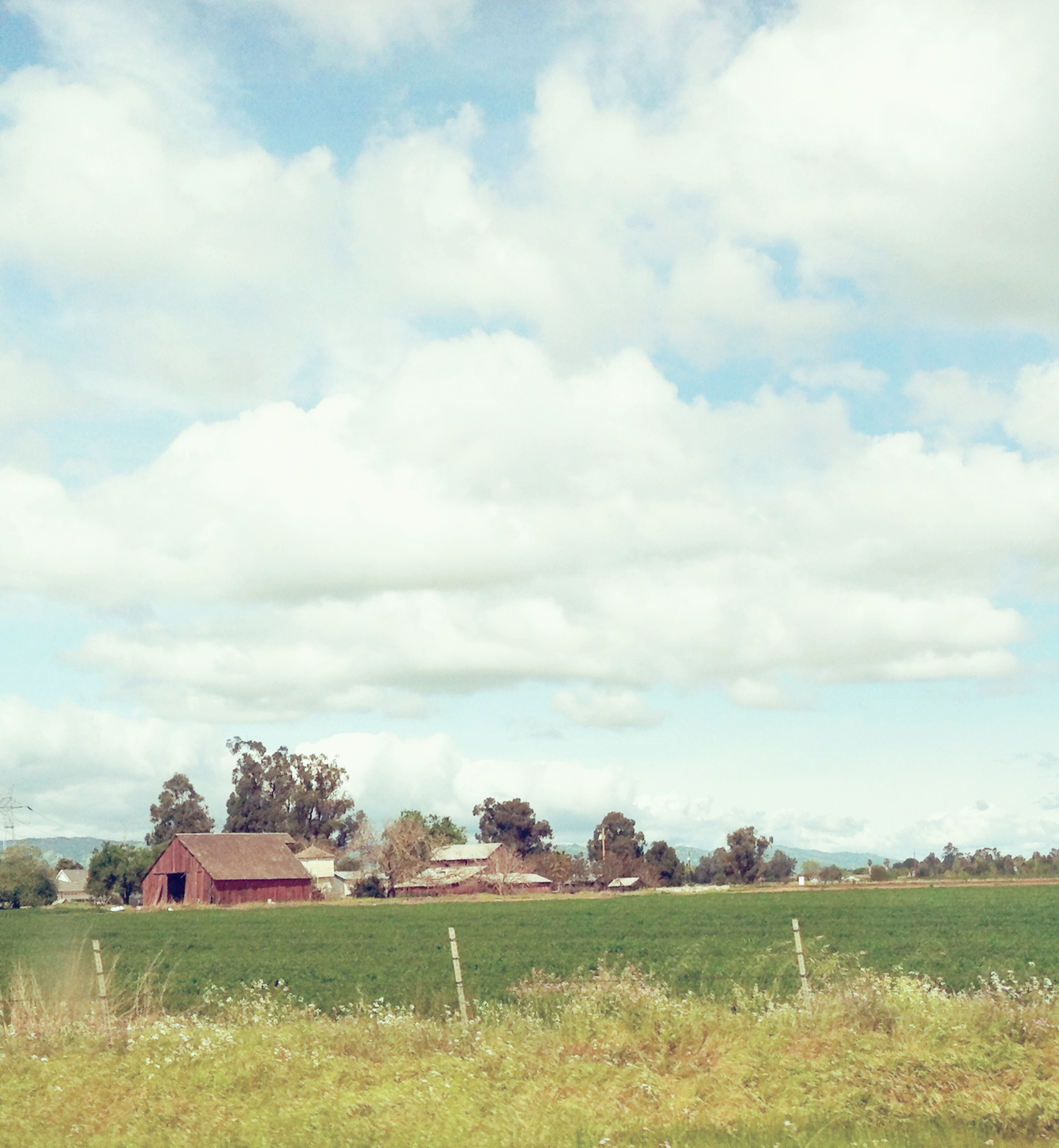
Rural Northern Cali_0025

Garden View
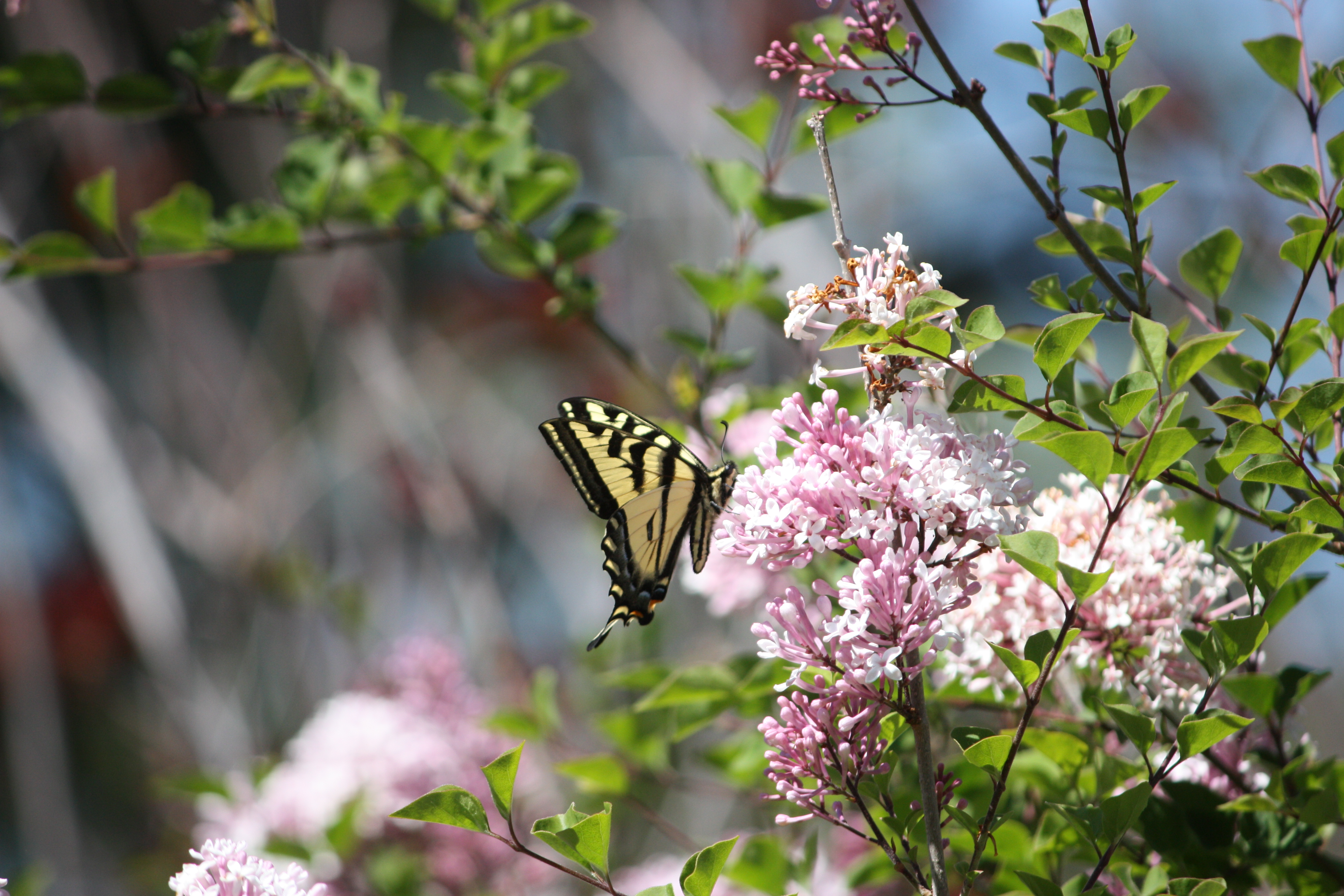
IMG_8280_Male Western Tiger Swallowtail (Papilio rutulus) view 2
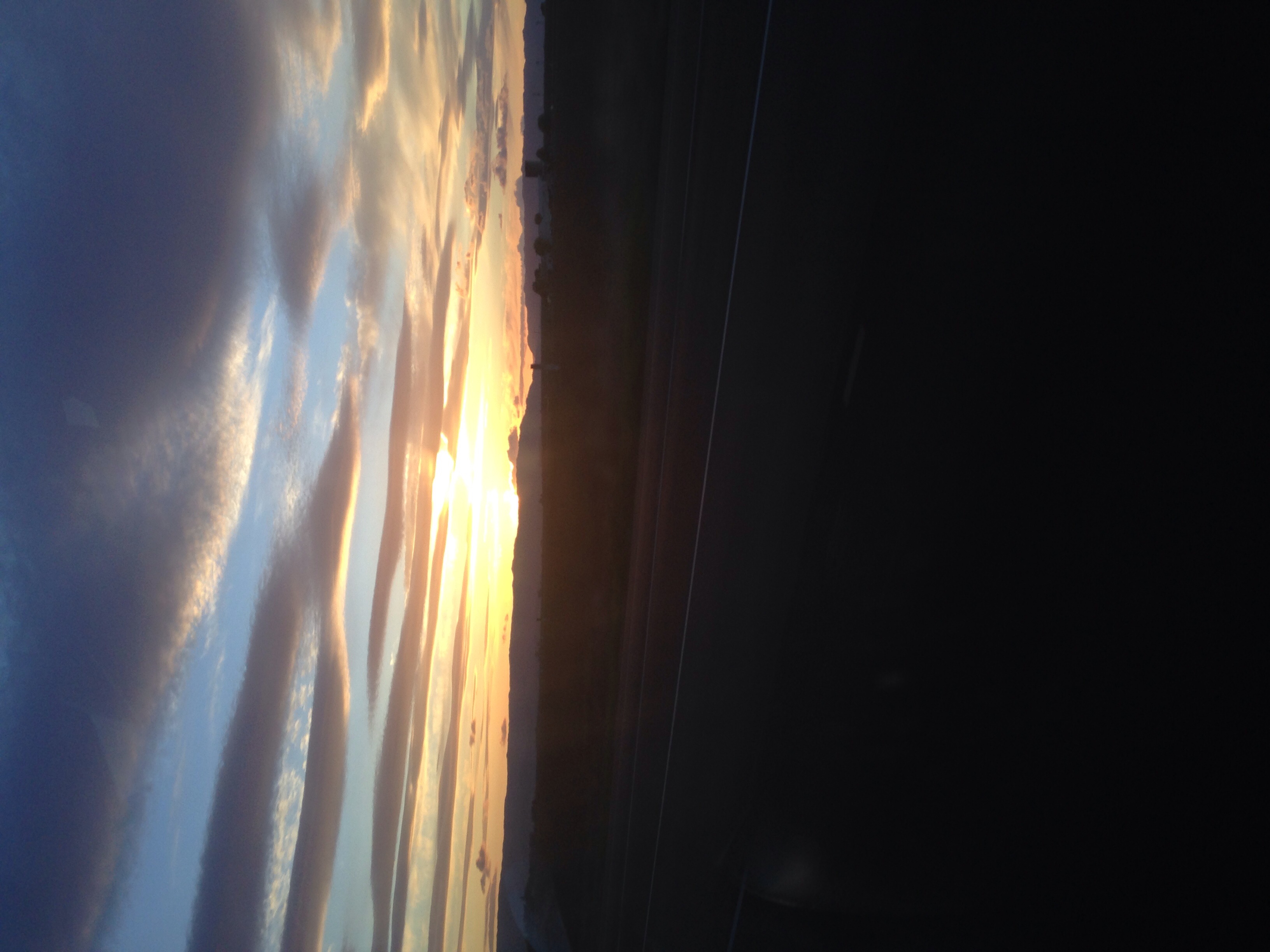
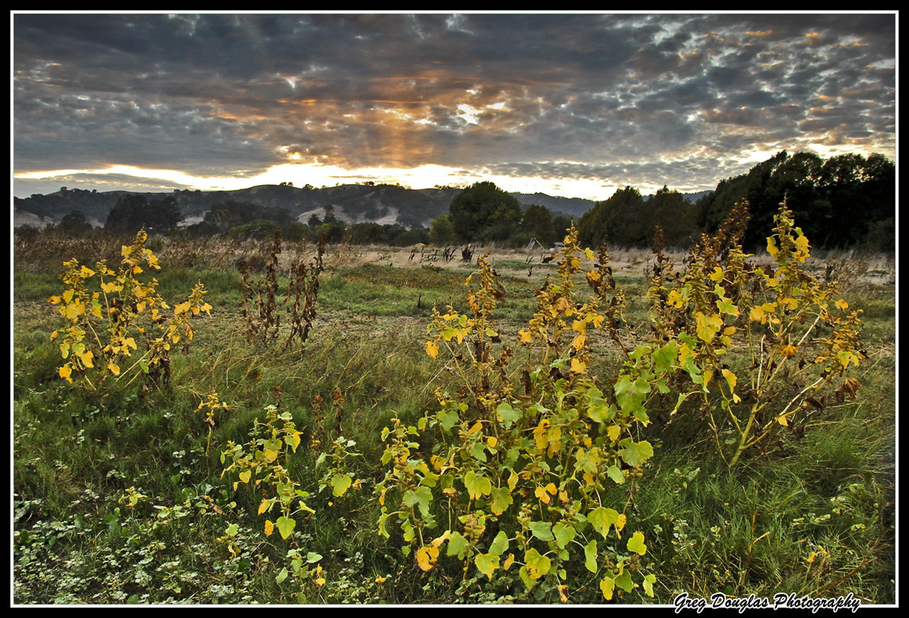
Sunset in California

Olive grove- ocean in the sky
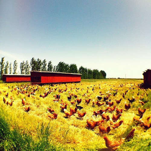
Chickens!

Sunset in California

leap day rainbow
Kiss Goodnight

A beautiful morning to take a few photos.

solano wildfire
Last Rays of Light
White skies

where the streets are paved with gold

Savannah Sparrow

2012-10-16 11.57.45

Summer Evening
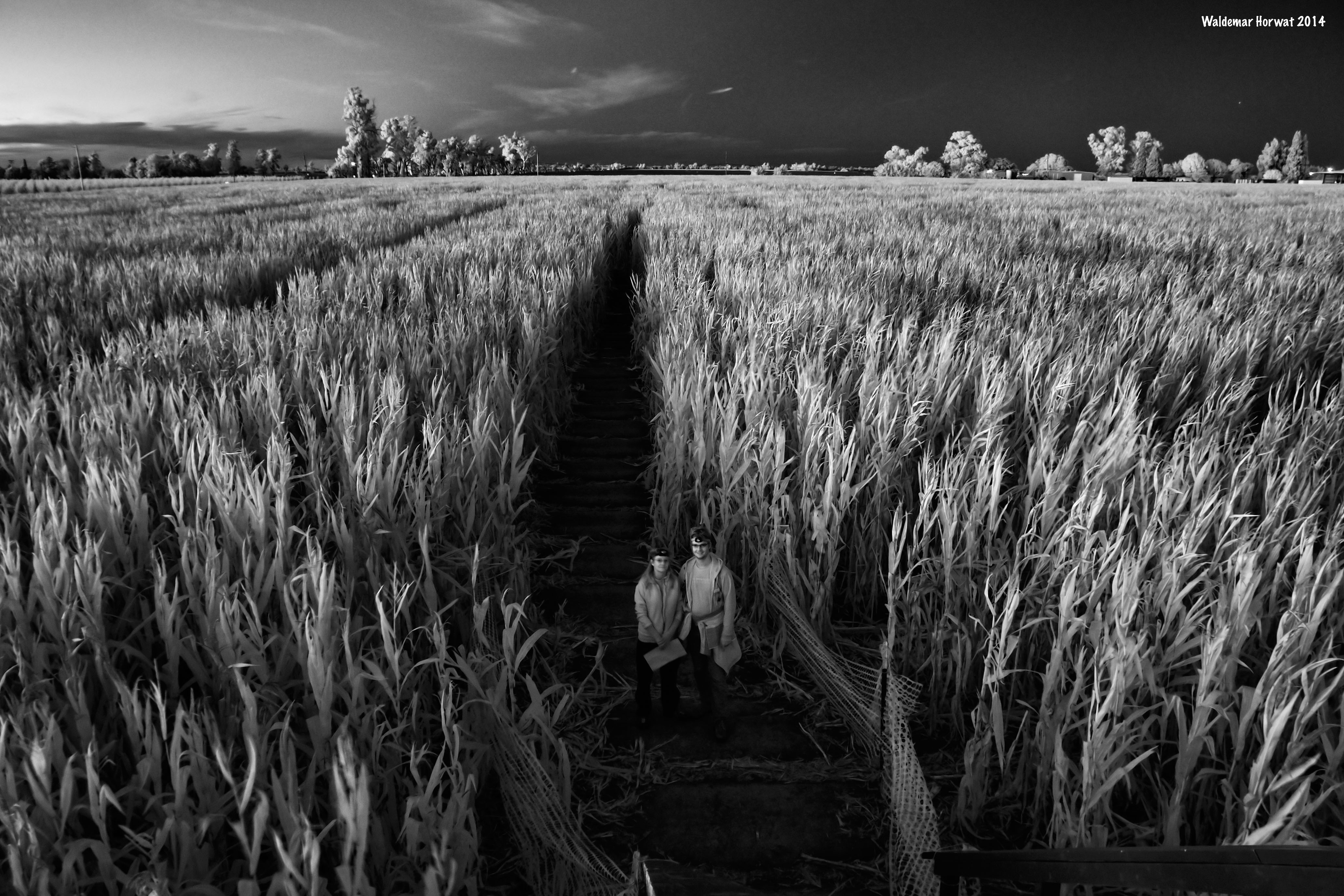
Maize Maze at Night

2012-10-14 18.42.10
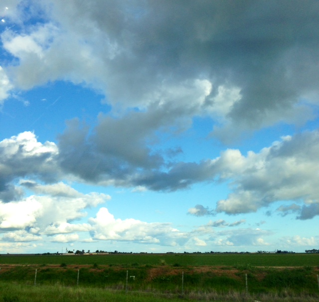
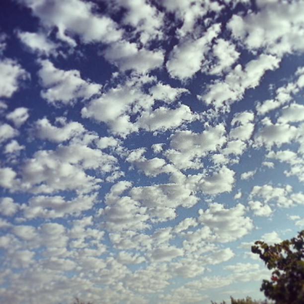
Partly cloudy
For some reason, I'm fascinated by this tree.
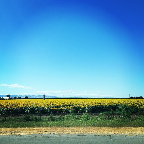
Whole lotta sunflowers

Union Pacific ZNPOA in the Farm Fields
Topographic Map of Batavia Rd, Dixon, CA, USA
Find elevation by address:

Places near Batavia Rd, Dixon, CA, USA:
Superior Farms
6677 Midway Rd
Dixon May Fair
Dixon
North Jackson Street
Pedrick Road
730 Calmace Ct
Binghamton Rd, Dixon, CA, USA
7005 Mills Ln
5162 Maple Rd
B St, Elmira, CA, USA
Elmira
1090 Leisure Town Rd
1 Quality Dr
Midway Rd, Vacaville, CA, USA
Green Tree Dr, Vacaville, CA, USA
731 Fremont Dr
297 Sparrow St
1001 Helen Power Dr
Outside Inn Rv Campsite
Recent Searches:
- Elevation of Spaceport America, Co Rd A, Truth or Consequences, NM, USA
- Elevation of Warwick, RI, USA
- Elevation of Fern Rd, Whitmore, CA, USA
- Elevation of 62 Abbey St, Marshfield, MA, USA
- Elevation of Fernwood, Bradenton, FL, USA
- Elevation of Felindre, Swansea SA5 7LU, UK
- Elevation of Leyte Industrial Development Estate, Isabel, Leyte, Philippines
- Elevation of W Granada St, Tampa, FL, USA
- Elevation of Pykes Down, Ivybridge PL21 0BY, UK
- Elevation of Jalan Senandin, Lutong, Miri, Sarawak, Malaysia