Elevation of Binghamton Rd, Dixon, CA, USA
Location: United States > California > Dixon >
Longitude: -121.81843
Latitude: 38.354928
Elevation: 9m / 30feet
Barometric Pressure: 101KPa
Elevation Map:
Satellite Map:
Related Photos:
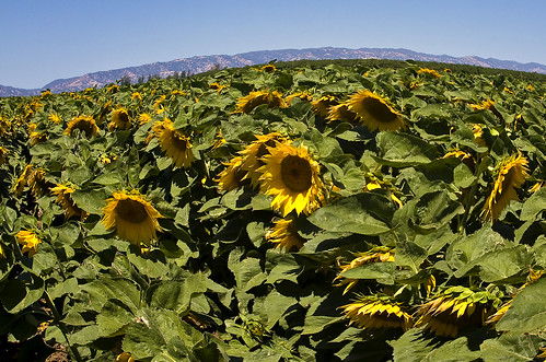
Sunflowers 1620
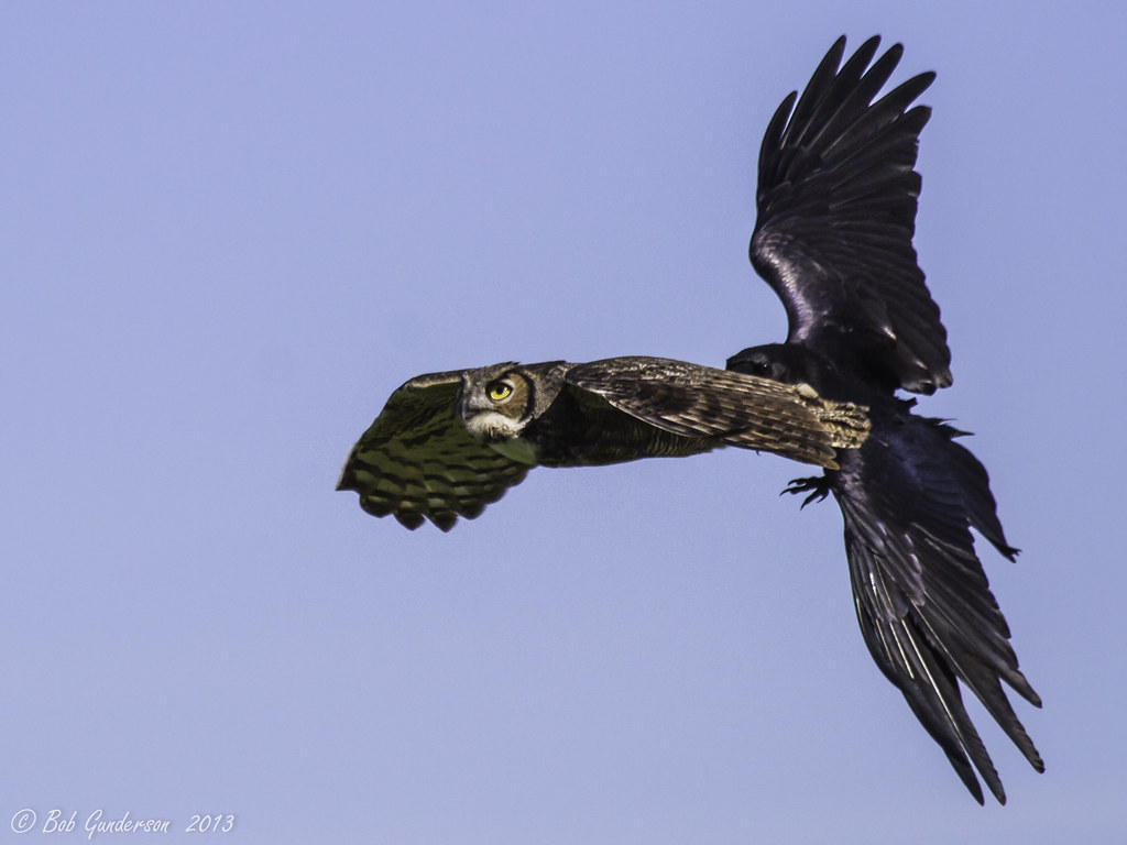
Great Horned Owl being harassed by a Common Raven (click to open for multiple views)

Vacaville FPD Station 65

Fairfield, CA

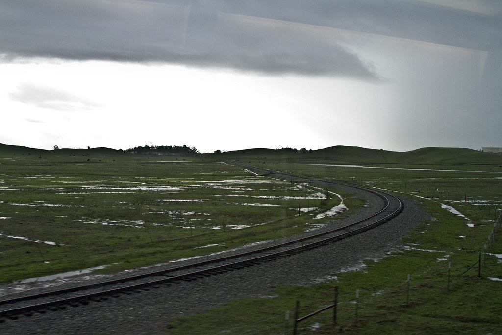
the long view

Vacaville Photography Club
Top View
Ants eye view
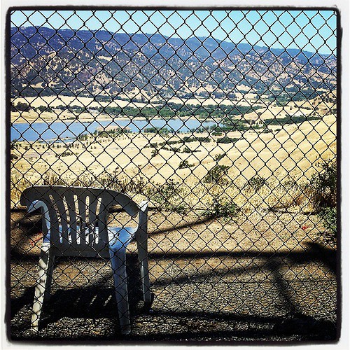
Lots of folks hike to this spot above Pena Adobe, here's a look from the other side of the barbed wire fence. Obviously, someone thinks this is a nice spot to sit and take in the view.
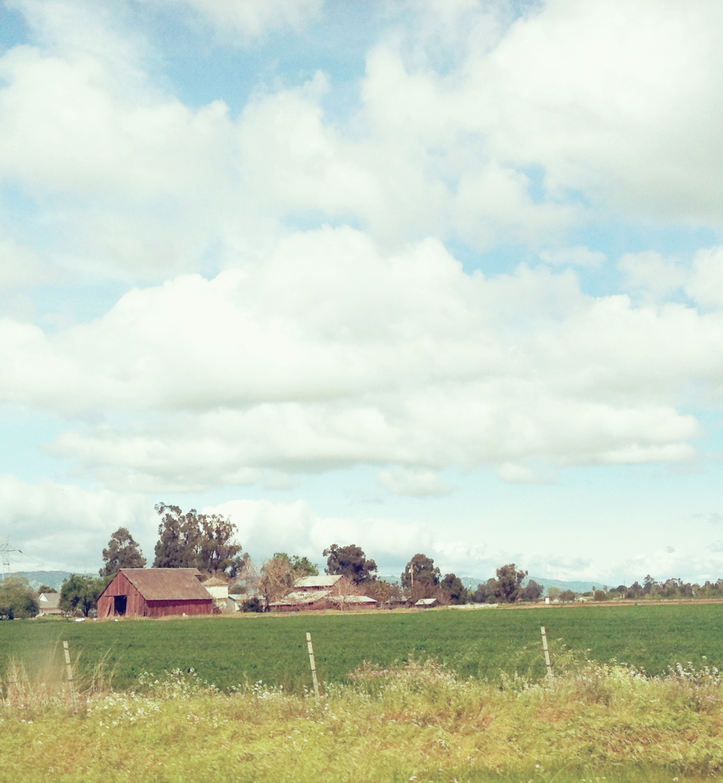
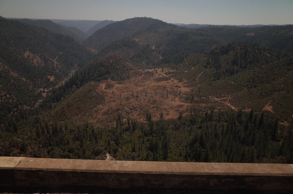
Rural Northern Cali_0025

Garden View

The Nut Tree, circa 1959

All That is Red is Not Roses

3/4 View

Map of the World Waters Fountain
Back View 2-close

Side View

photo - Turkey Cobb Sandwich - another view

Bread, Computer

mustang ranch pt I
Cannon Views
Kiss Goodnight
White skies

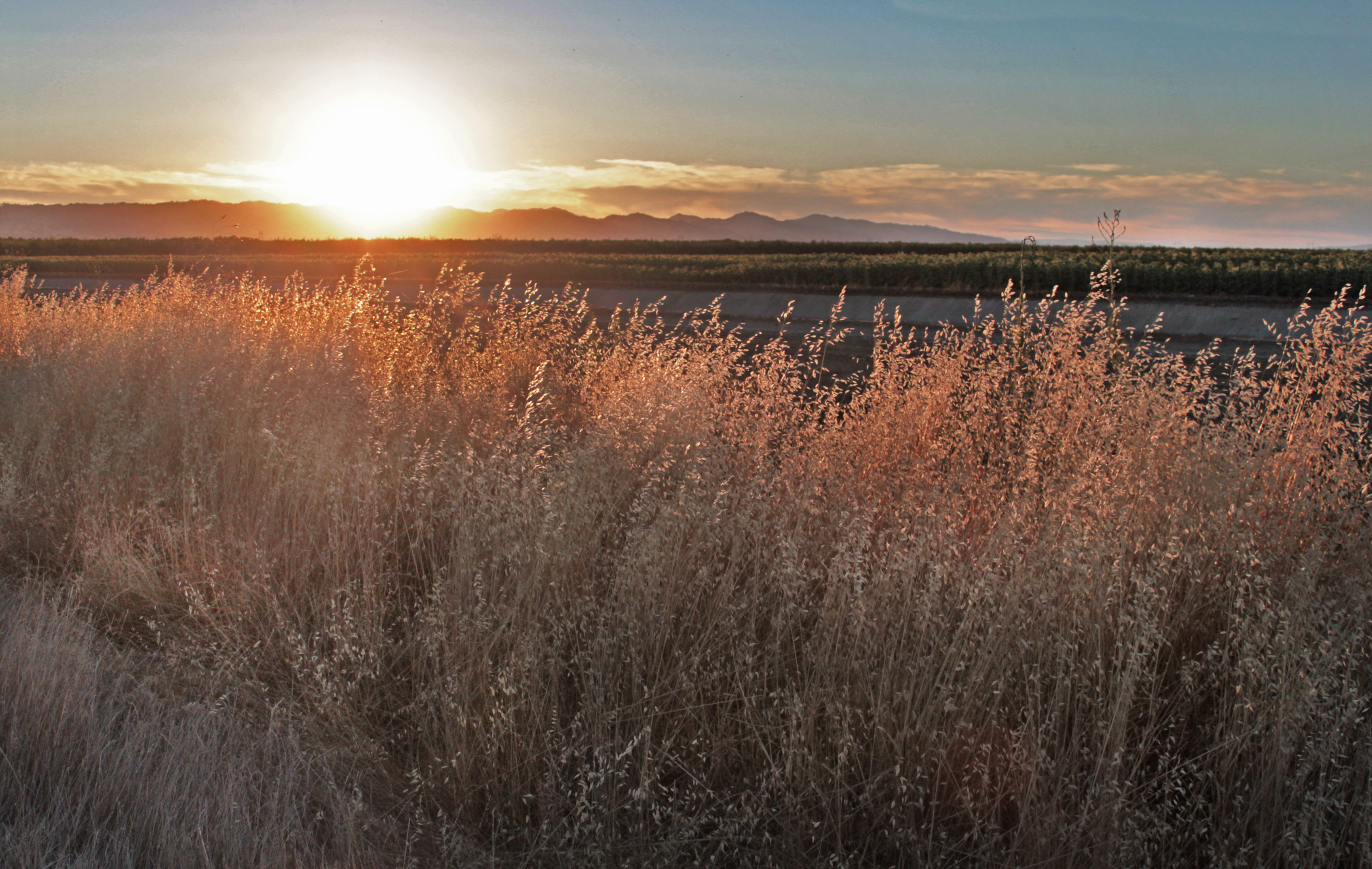
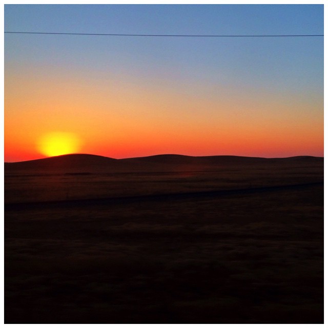
Sunset in California

Savannah Sparrow

2012-10-16 11.57.45

Summer Evening
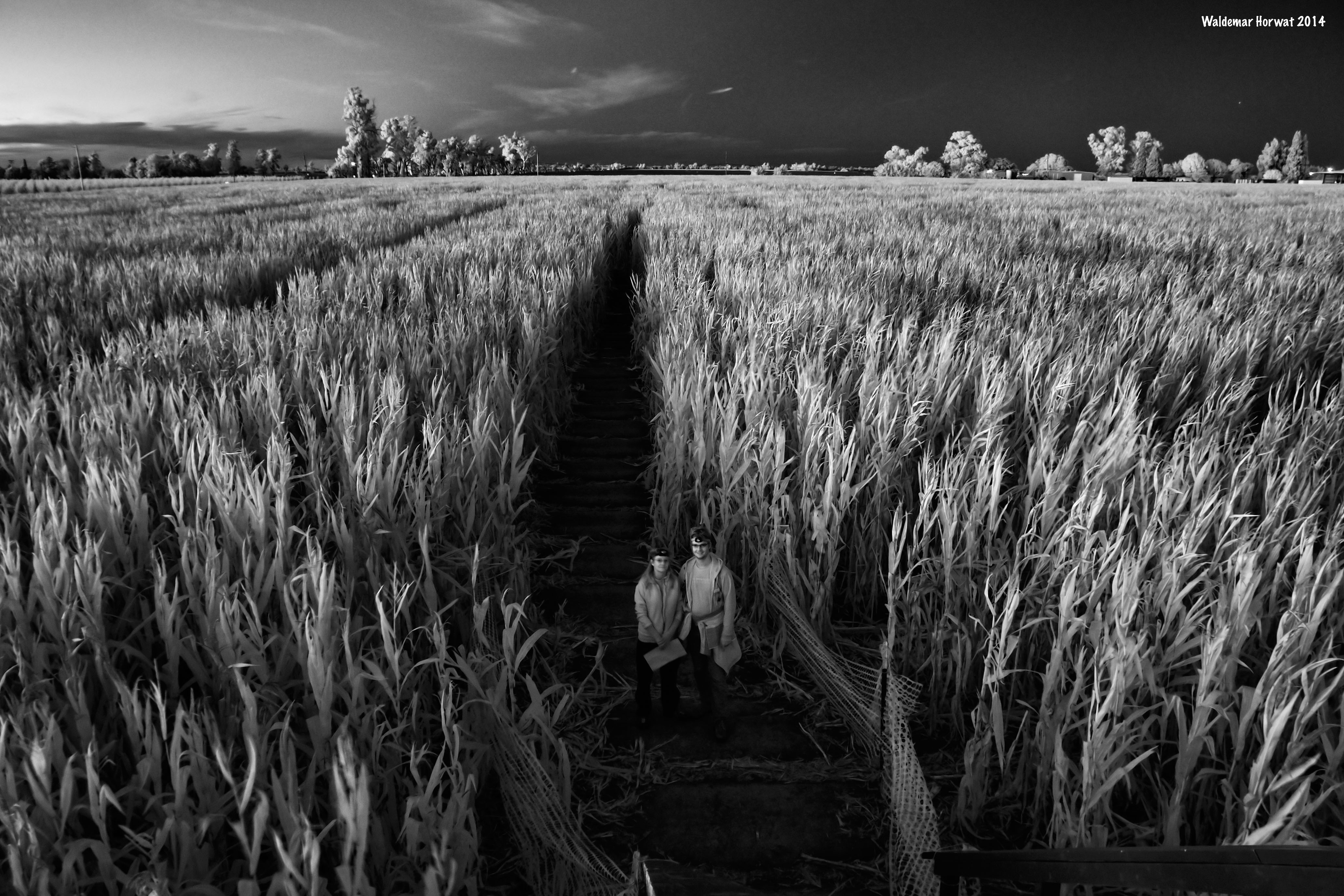
Maize Maze at Night

2012-10-14 18.42.10
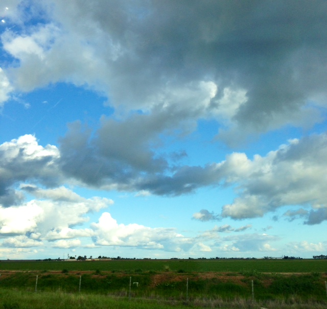
Partly cloudy
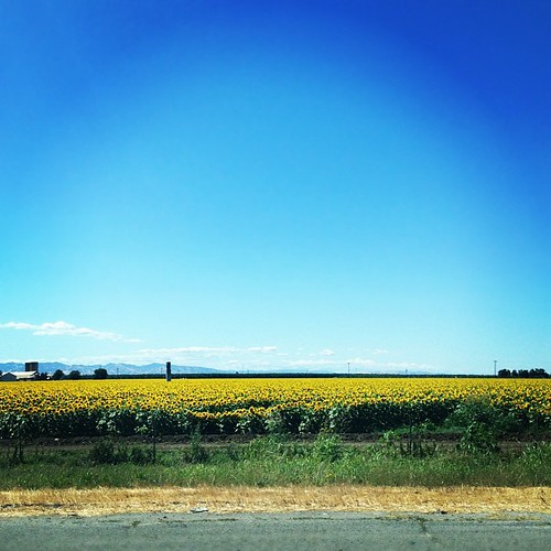
Whole lotta sunflowers

Union Pacific ZNPOA in the Farm Fields
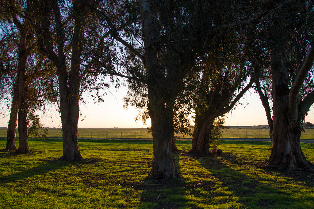
Eucalyptus Trees - Travis Air Force Base - Fairfield - California - 11 March 2014

RI037459.JPG
Sunrise explodes beyond the hills and horizon. #trainlife #calixtoniswatching

Sunflower Sunset

2012-10-14 18.42.17

leap day rainbow

San Francisco

Sunset in California
RI037458.JPG
Topographic Map of Binghamton Rd, Dixon, CA, USA
Find elevation by address:

Places near Binghamton Rd, Dixon, CA, USA:
Superior Farms
Pedrick Road
6677 Midway Rd
Batavia Rd, Dixon, CA, USA
Bunker Station Rd, Dixon, CA, USA
Dixon May Fair
Liberty Farms
Dixon
B St, Elmira, CA, USA
Elmira
North Jackson Street
730 Calmace Ct
5162 Maple Rd
7005 Mills Ln
1090 Leisure Town Rd
297 Sparrow St
Yolano Rd, Dixon, CA, USA
1 Quality Dr
Green Tree Dr, Vacaville, CA, USA
731 Fremont Dr
Recent Searches:
- Elevation of Steadfast Ct, Daphne, AL, USA
- Elevation of Lagasgasan, X+CQH, Tiaong, Quezon, Philippines
- Elevation of Rojo Ct, Atascadero, CA, USA
- Elevation of Flagstaff Drive, Flagstaff Dr, North Carolina, USA
- Elevation of Avery Ln, Lakeland, FL, USA
- Elevation of Woolwine, VA, USA
- Elevation of Lumagwas Diversified Farmers Multi-Purpose Cooperative, Lumagwas, Adtuyon, RV32+MH7, Pangantucan, Bukidnon, Philippines
- Elevation of Homestead Ridge, New Braunfels, TX, USA
- Elevation of Orchard Road, Orchard Rd, Marlborough, NY, USA
- Elevation of 12 Hutchinson Woods Dr, Fletcher, NC, USA