Elevation of Basil Todd Road, Basil Todd Rd, Fleischmanns, NY, USA
Location: United States > New York > Delaware County > Middletown > Fleischmanns >
Longitude: -74.529667
Latitude: 42.1898905
Elevation: 646m / 2119feet
Barometric Pressure: 94KPa
Elevation Map:
Satellite Map:
Related Photos:

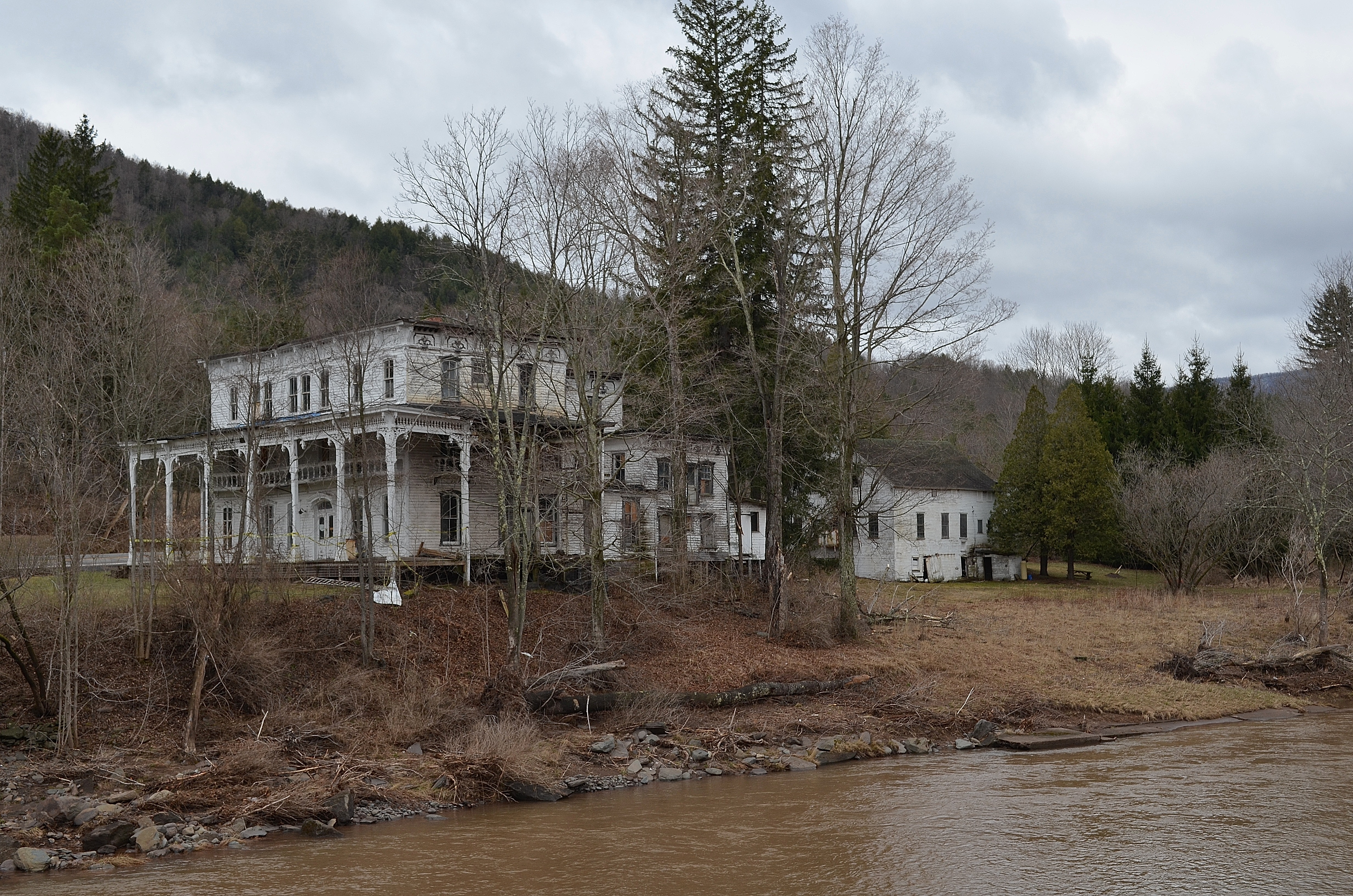
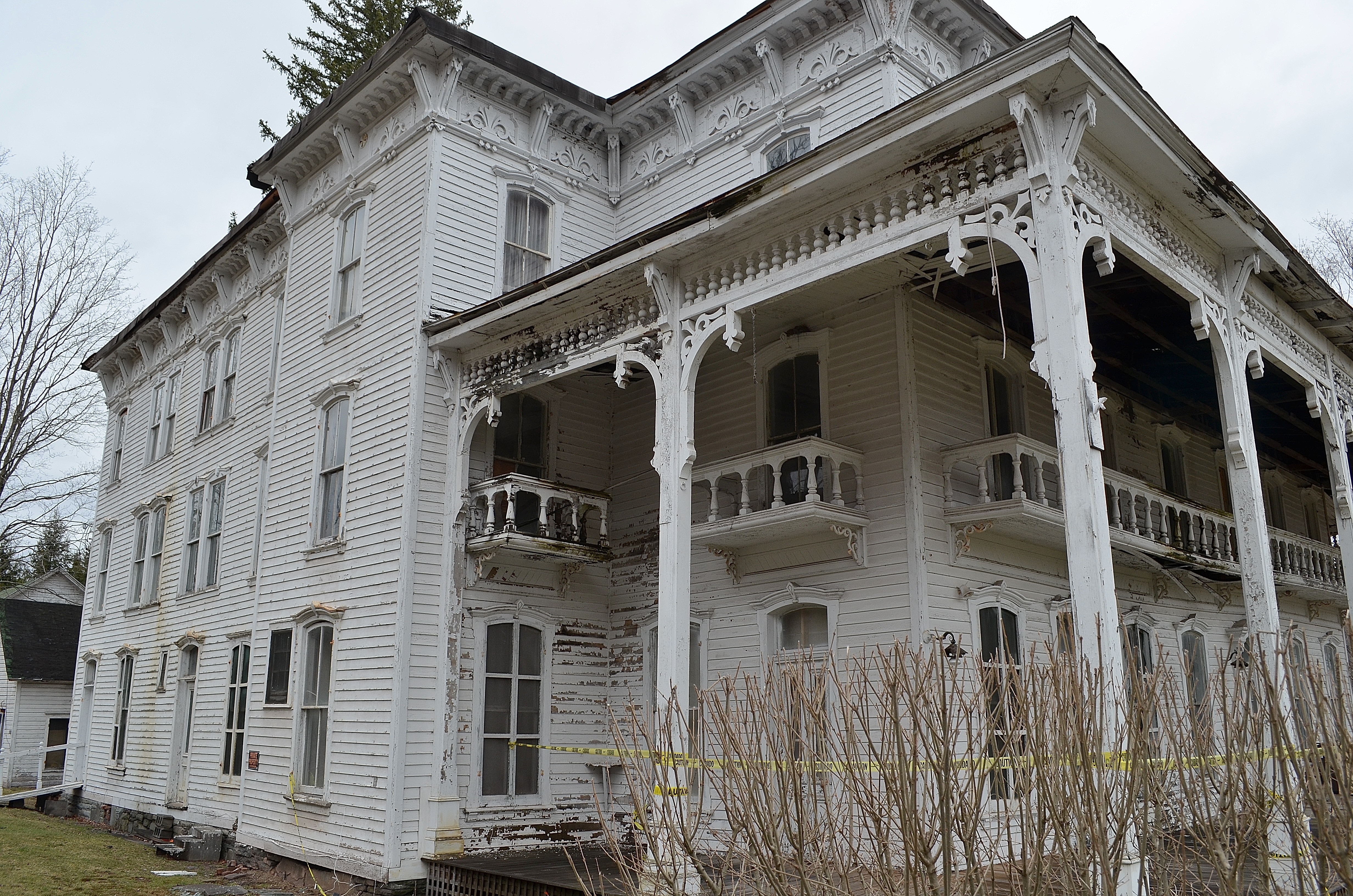
The Lexington House 4

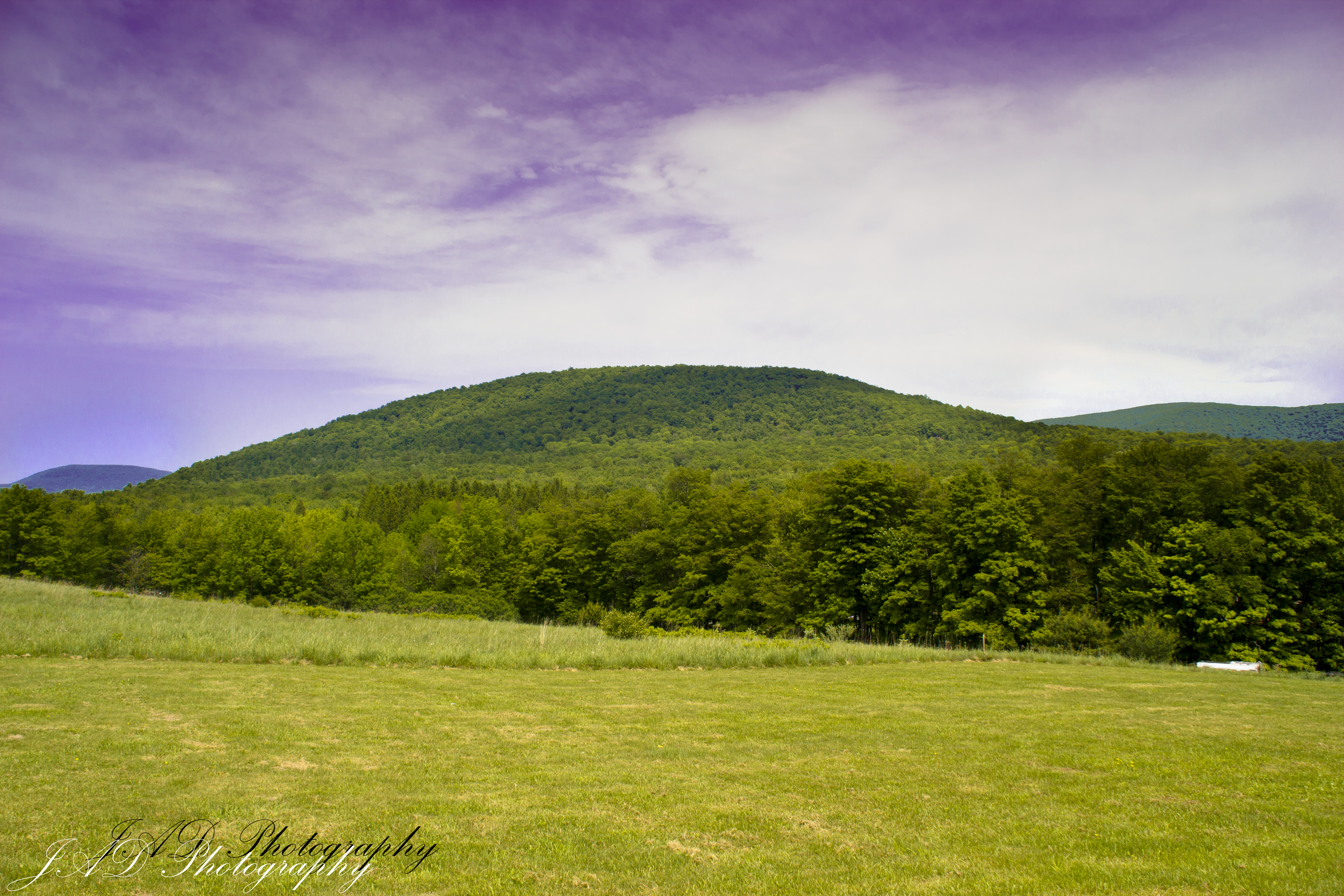
Triple View Farm
Near Highmount, NY
The Lexington House 2
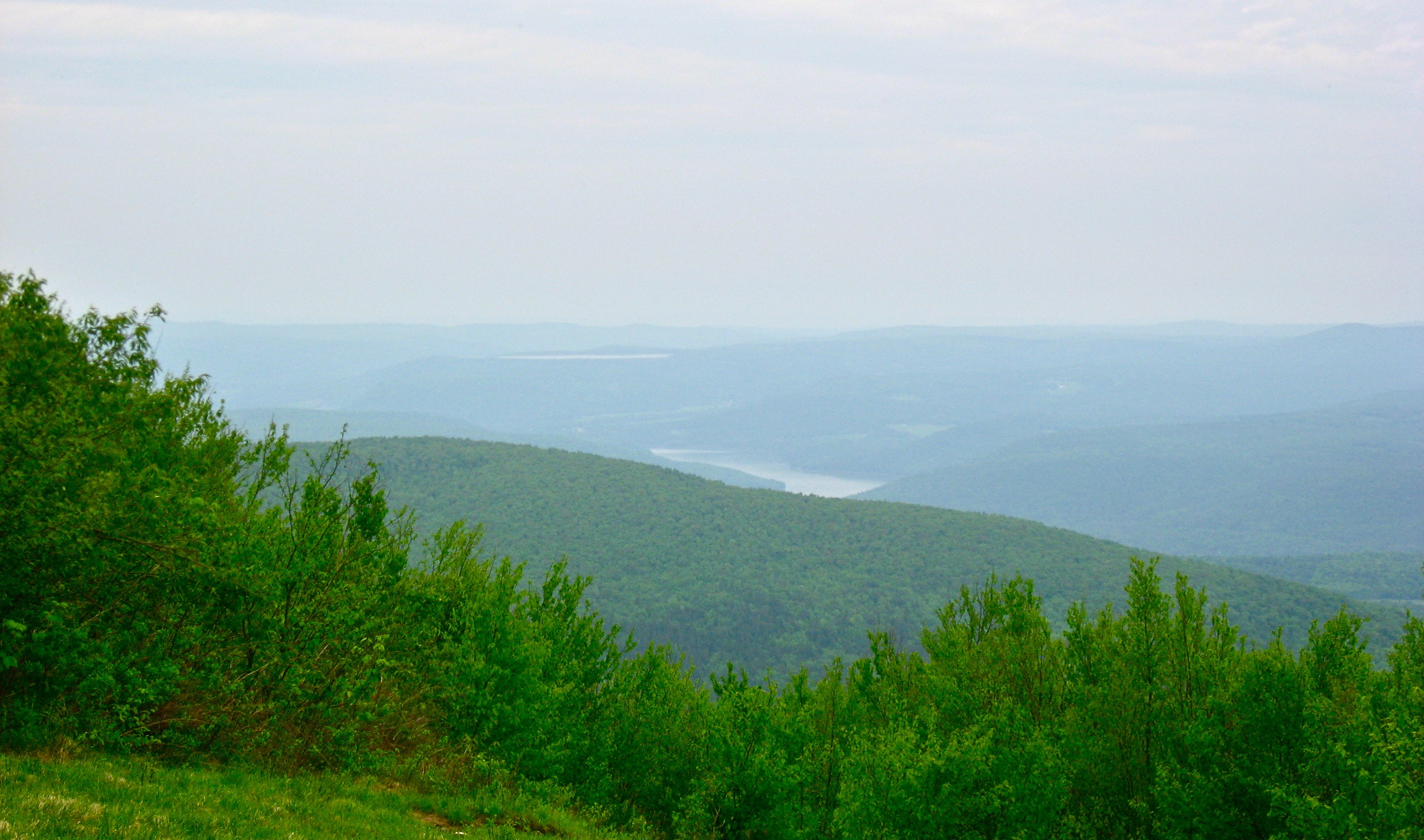
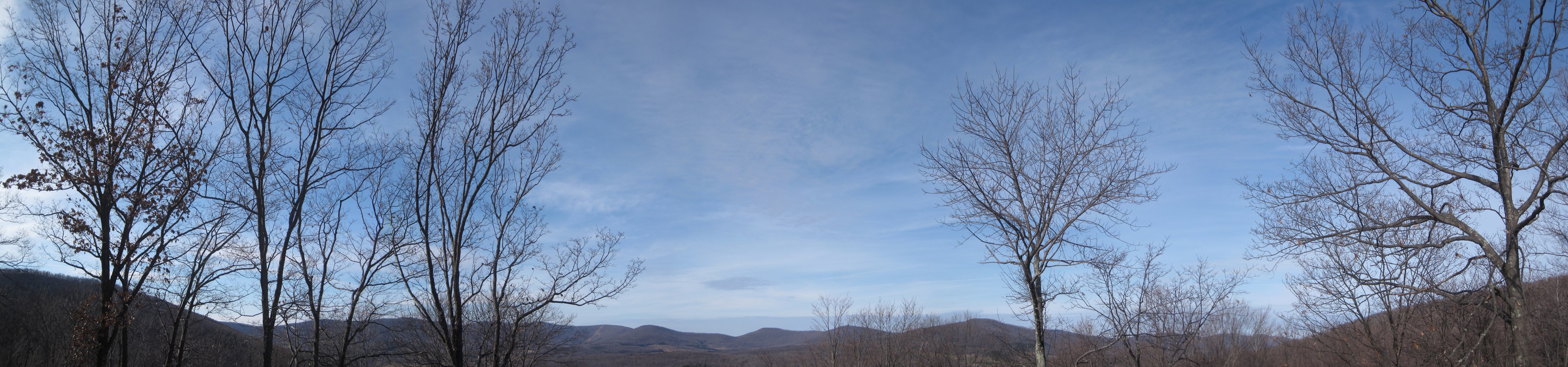
View North (Schoharie Res)
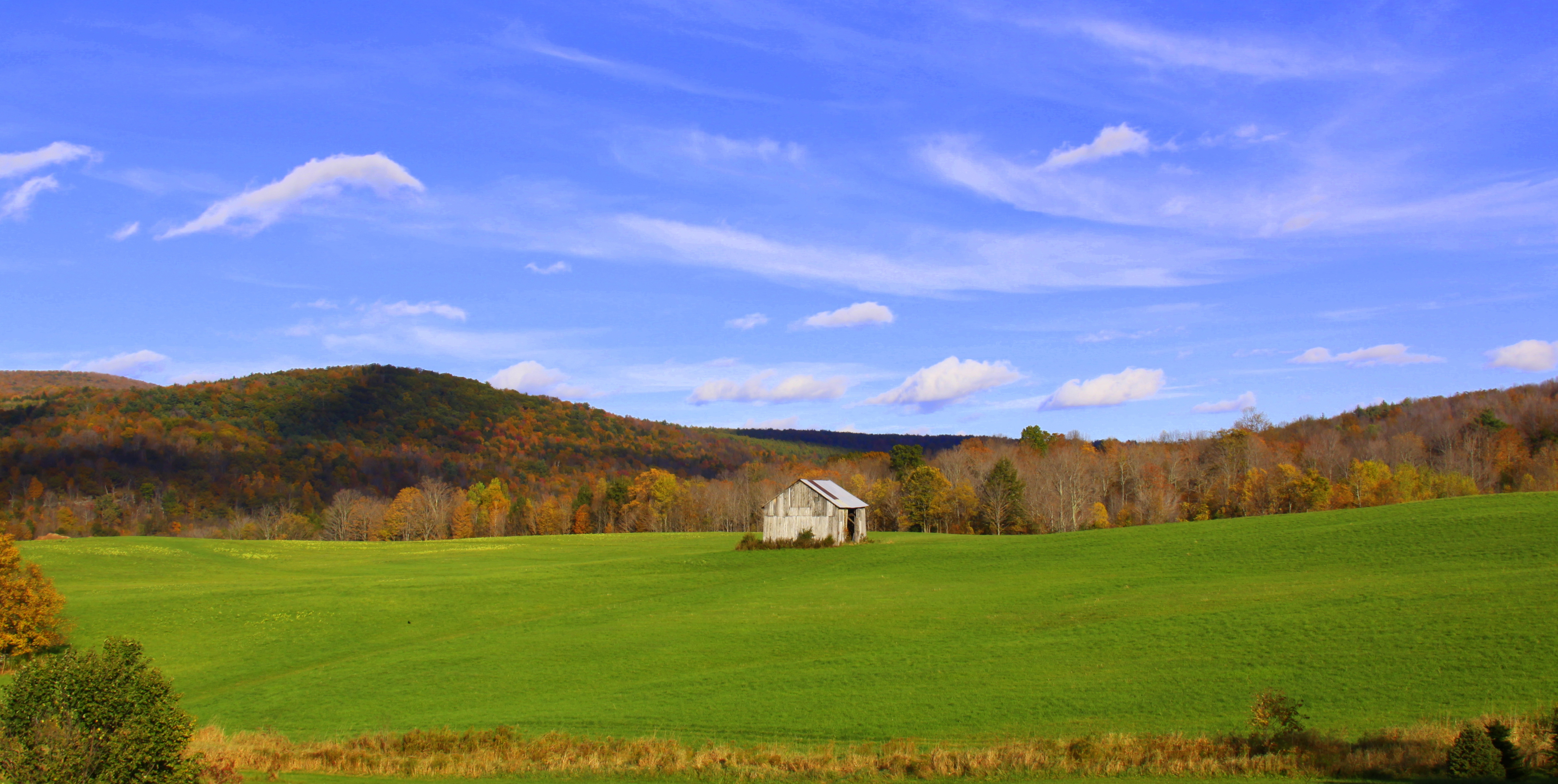
barn and landscape NY
The Lexington House
View from the cabin porch
Another View Near Burroughs Grave

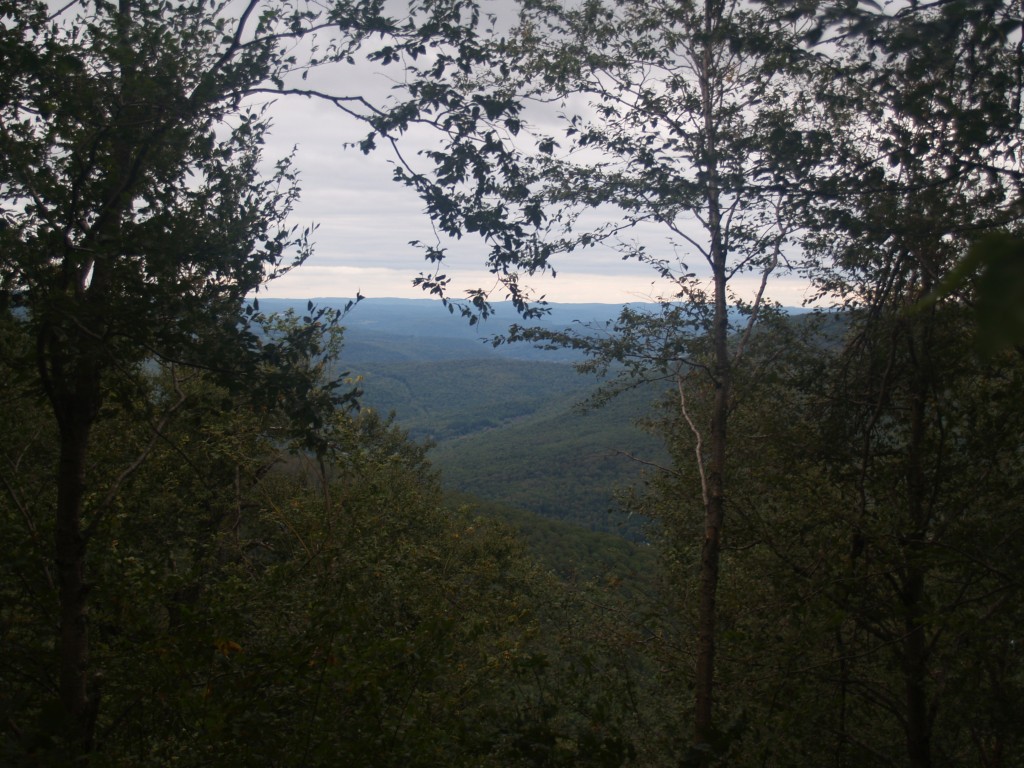
View from the Col on Plattekill Mountain
View From Burroughs Grave Site
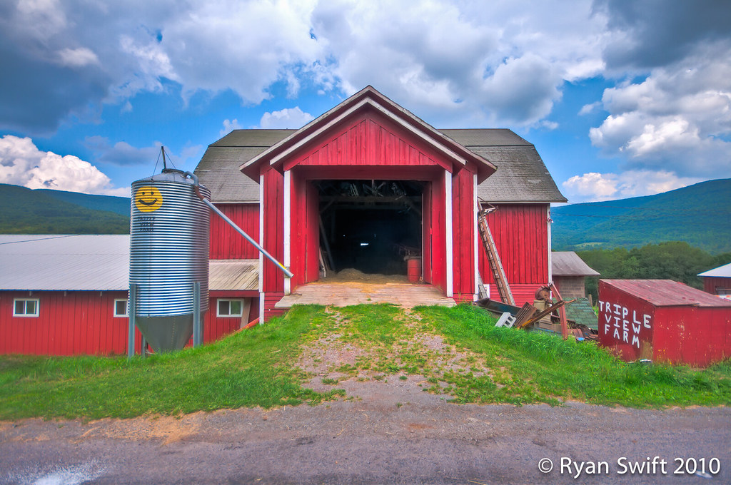
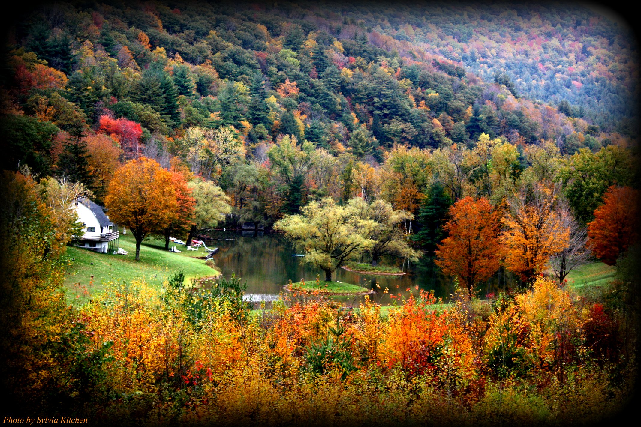
: ) Triple View Farm

Still There After 10 Years 3
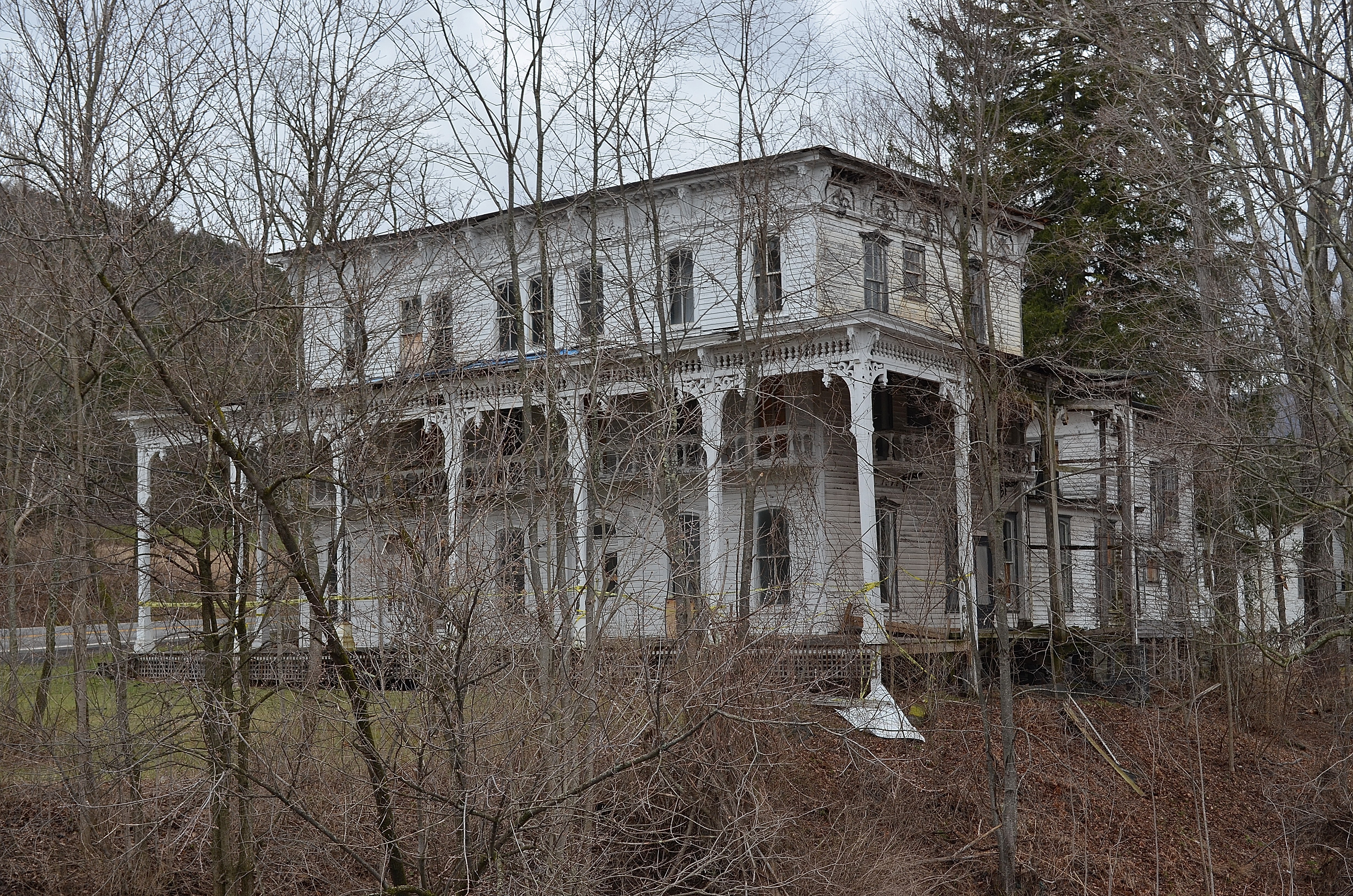
The Lexington House 3
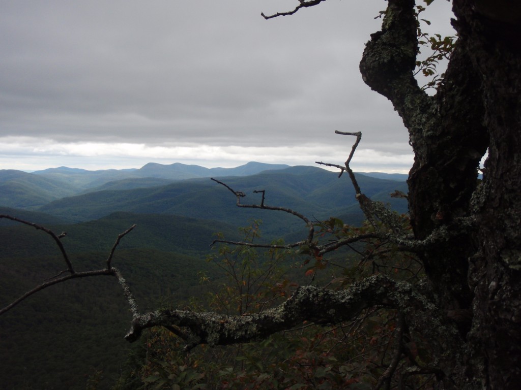
317_Catskills-Bushwhack_Sherrill_view
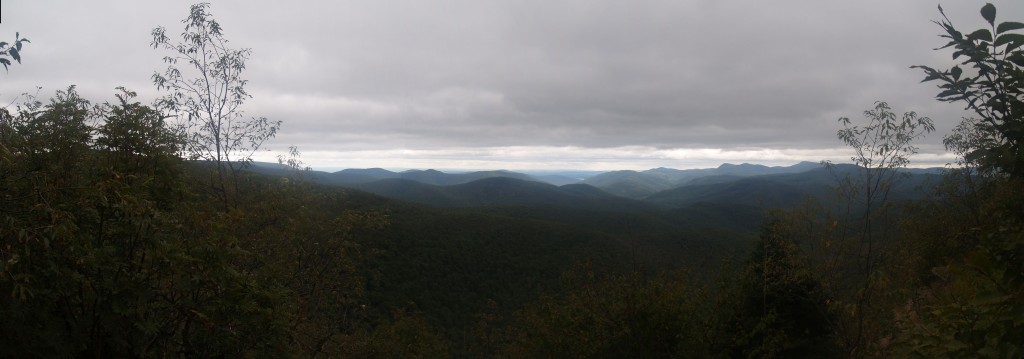
319_Catskills-Bushwhack_Sherrill_panorama

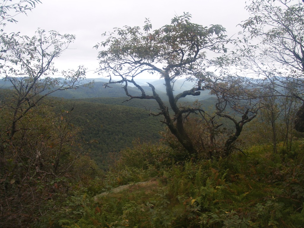
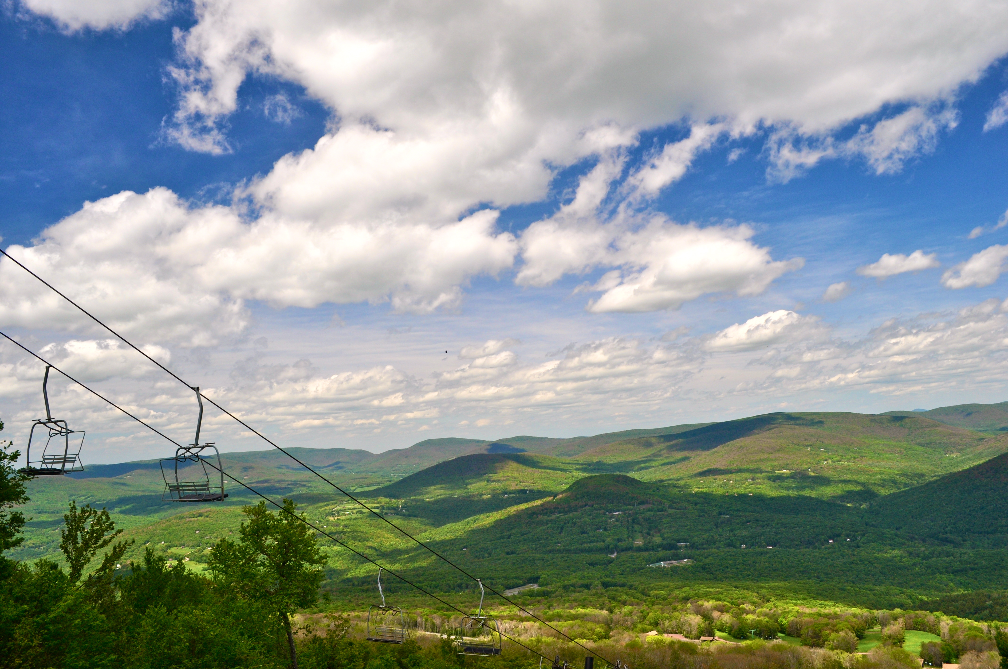
A view of the beautiful Catskills from the top of the Face at Ski Plattekill!!!
322_Catskills-Bushwhack_Sherrill_view
374_Catskills-Bushwhack_North-Dome_Sherrill_descent
313_Catskills-Bushwhack_Sherrill_view

View from Gravesite
97/366 - May 6, 2012
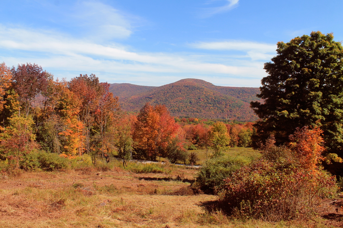
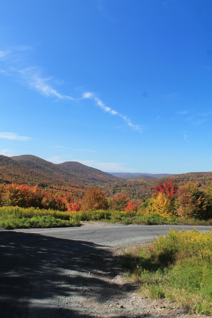
Rolling Hills in Delaware County
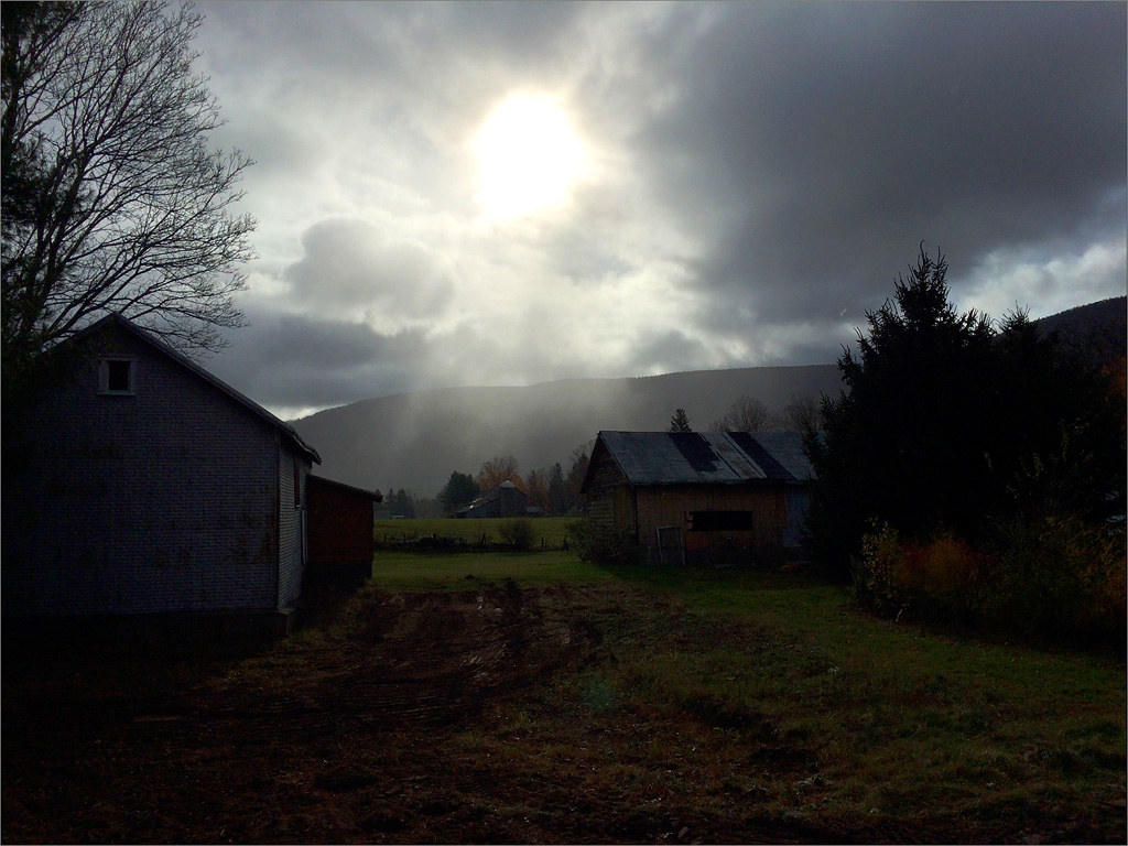
Sun Shower
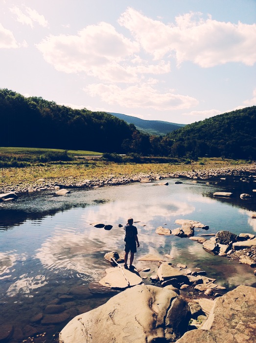
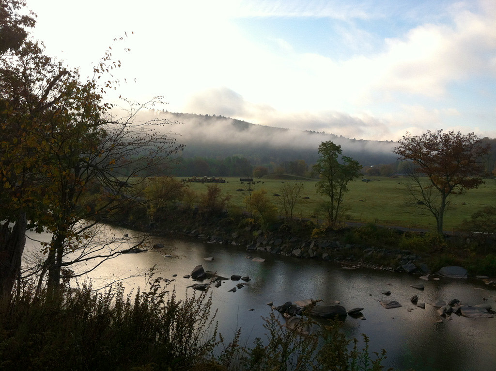
Schoharie Creek
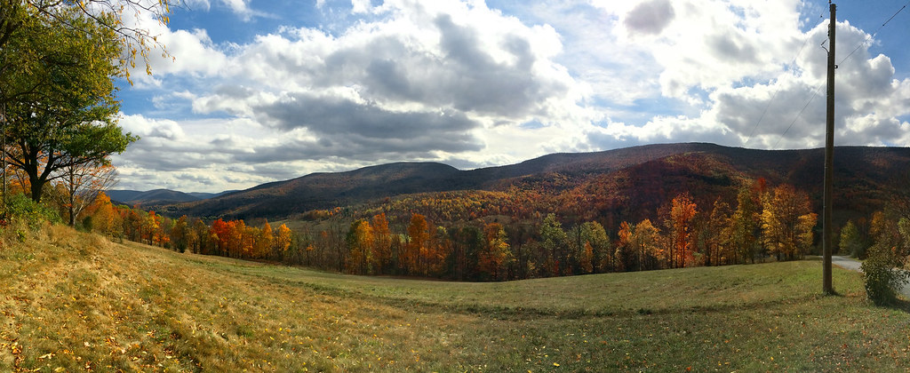
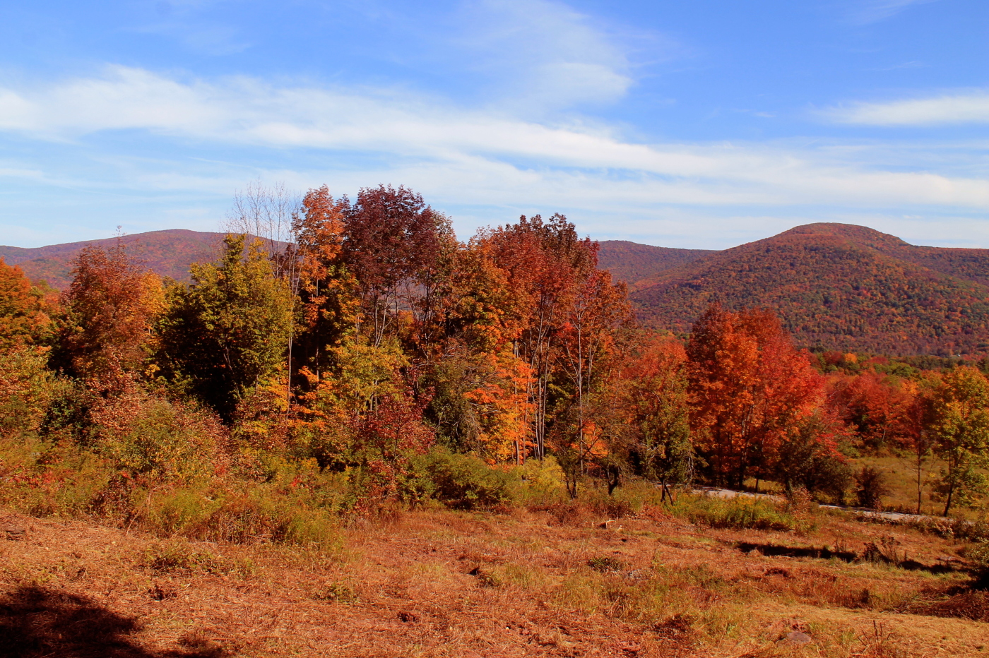
Catskills Panorama
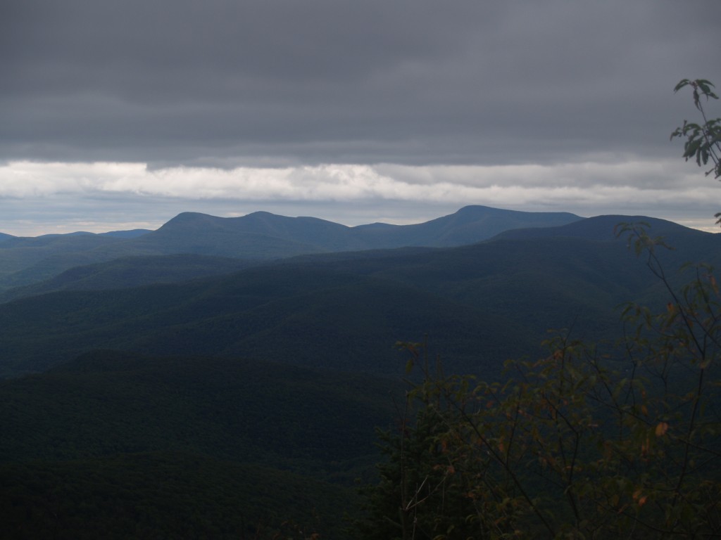
Greene County

Over Yonder

103 Hiking uphill on the Seagar Trail
Bovina Mountains in the Distance

I'm not alone
DSC_0080.JPG

DSC_0084.JPG

DSCF8697.jpg
DSC_0083.JPG
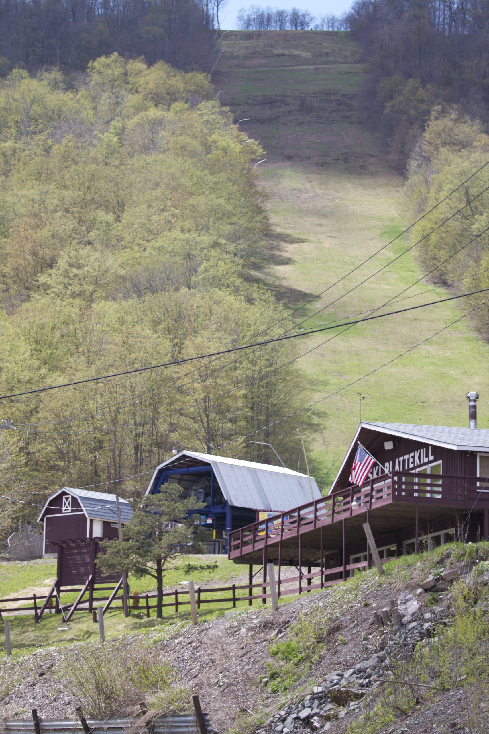
Skiing in the Spring
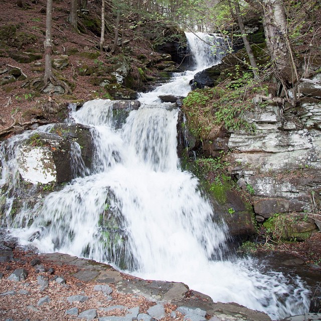
And on the way back I found a waterfall. Which was excellent.

Plattekill Clove

Lower Birch Creek
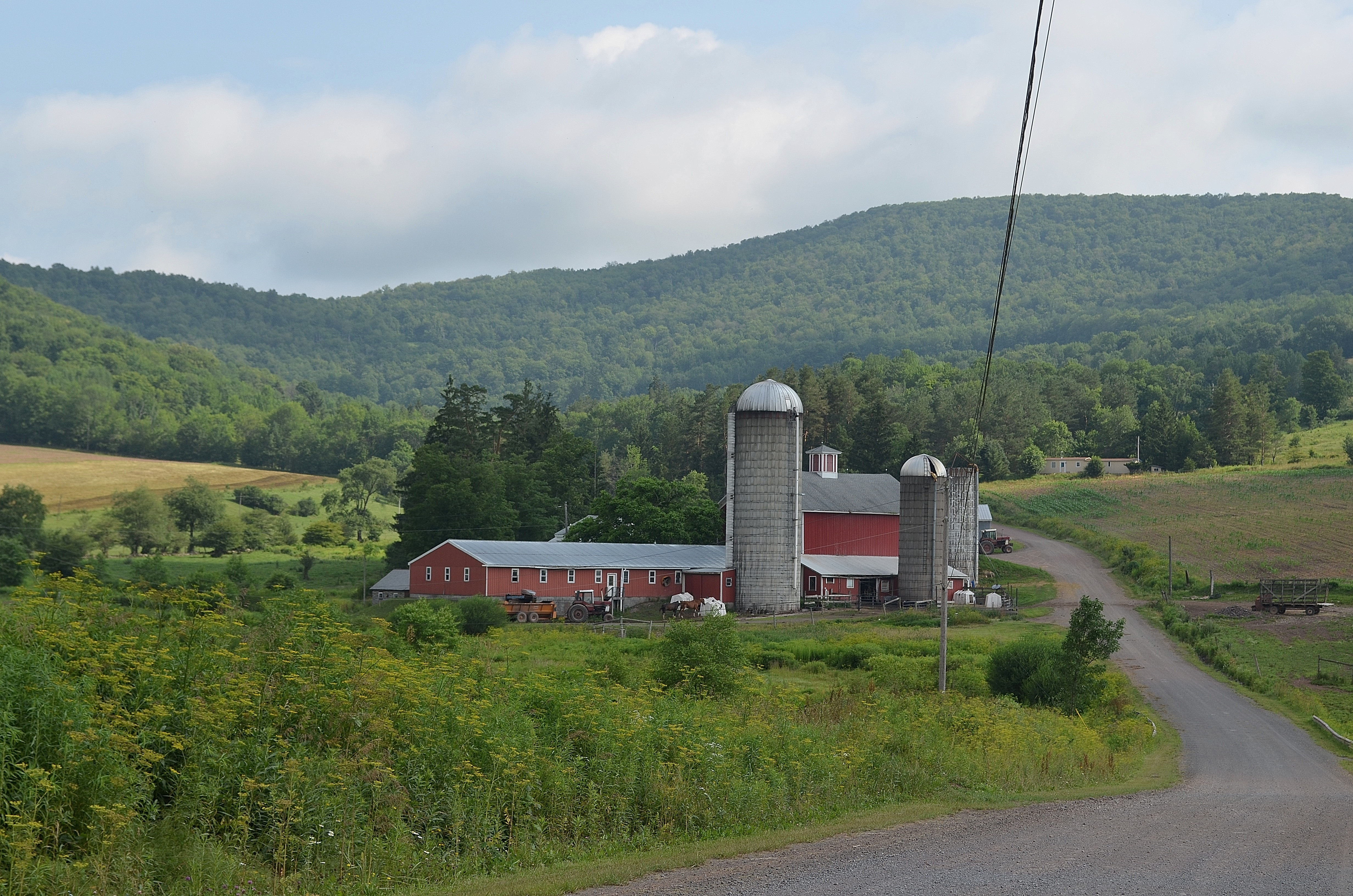
Bovina Barn
Topographic Map of Basil Todd Road, Basil Todd Rd, Fleischmanns, NY, USA
Find elevation by address:

Places near Basil Todd Road, Basil Todd Rd, Fleischmanns, NY, USA:
65 Turkey Ridge Rd
Stone Hollow
Halcott
6841 Co Rd 36
21 Vega Mountain Rd, Denver, NY, USA
Elk Creek Road
273 Rossman Rd
182 Truesdell Rd
195 Overlook Dr
23 Spruceton Rd, West Kill, NY, USA
West Kill
West Kill
West Kill
West Kill
Lexington
Lexington
Lexington
Lexington
319 Charles Dent Rd
319 Charles Dent Rd
Recent Searches:
- Elevation of Vista Blvd, Sparks, NV, USA
- Elevation of 15th Ave SE, St. Petersburg, FL, USA
- Elevation of Beall Road, Beall Rd, Florida, USA
- Elevation of Leguwa, Nepal
- Elevation of County Rd, Enterprise, AL, USA
- Elevation of Kolchuginsky District, Vladimir Oblast, Russia
- Elevation of Shustino, Vladimir Oblast, Russia
- Elevation of Lampiasi St, Sarasota, FL, USA
- Elevation of Elwyn Dr, Roanoke Rapids, NC, USA
- Elevation of Congressional Dr, Stevensville, MD, USA