Elevation of Charles Dent Rd, Grand Gorge, NY, USA
Location: United States > New York > Delaware County > Roxbury >
Longitude: -74.490777
Latitude: 42.3448811
Elevation: 497m / 1631feet
Barometric Pressure: 95KPa
Elevation Map:
Satellite Map:
Related Photos:

The Lexington House 4

Warner 10
View From Burroughs Grave Site

View of Gorge Walls

Little Known View of Mine Kill Falls
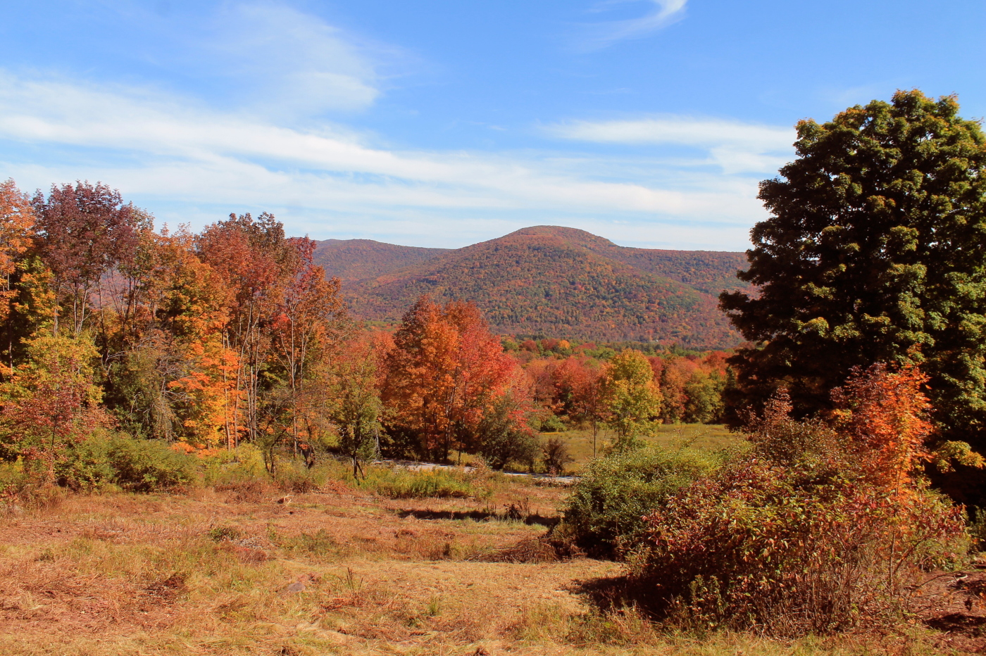
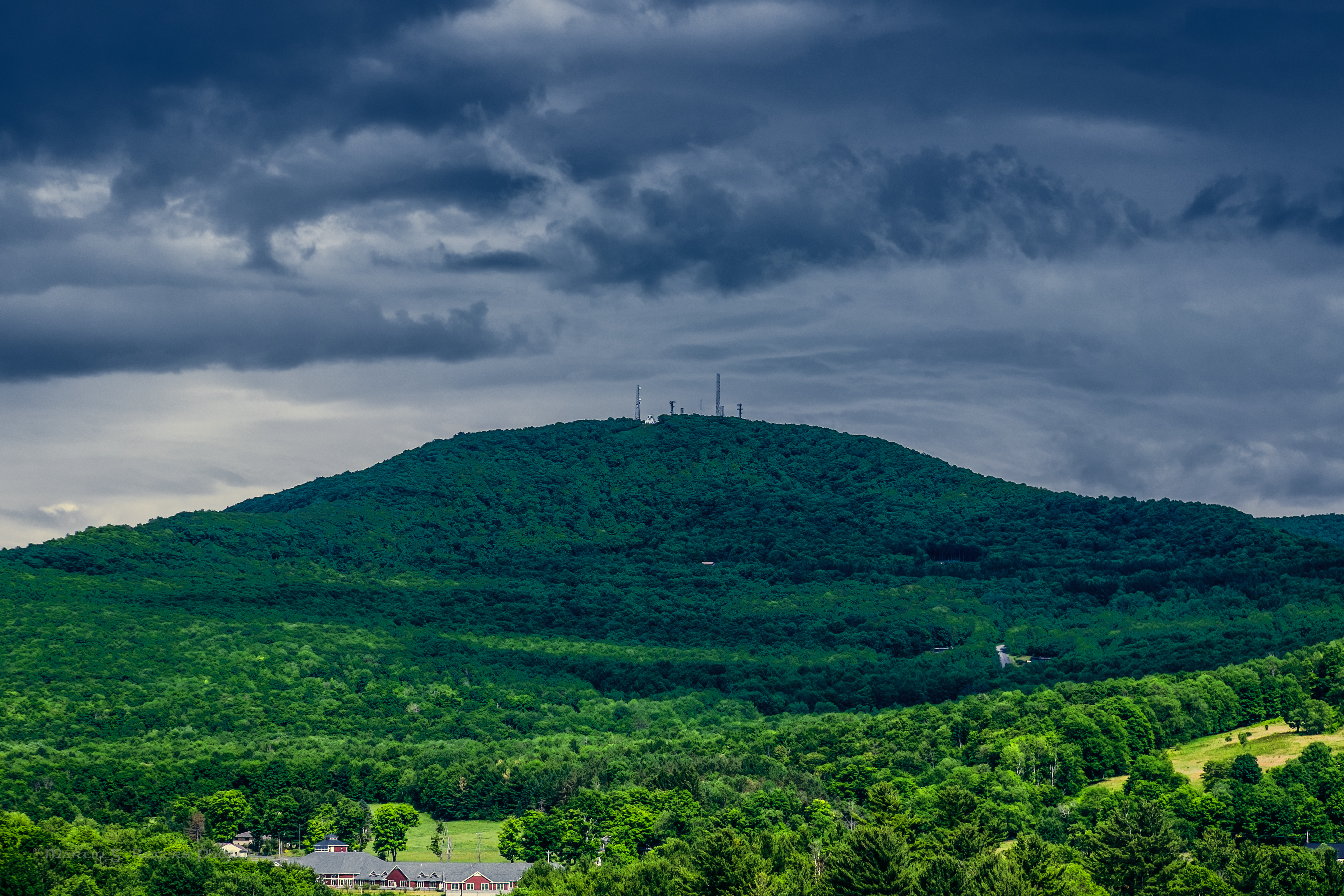
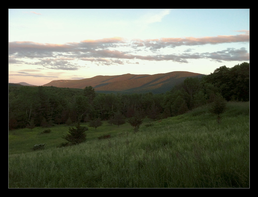
Huntersfield Mountain
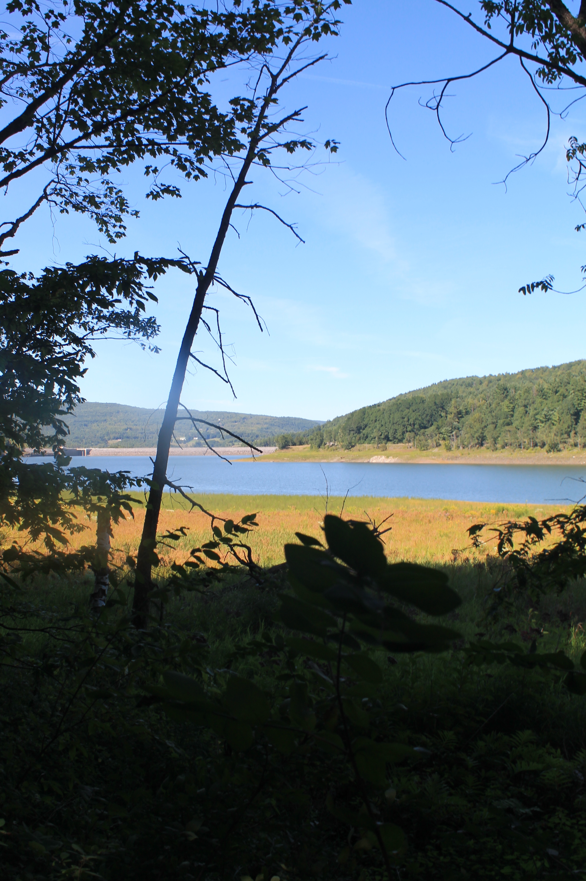
Reservior View
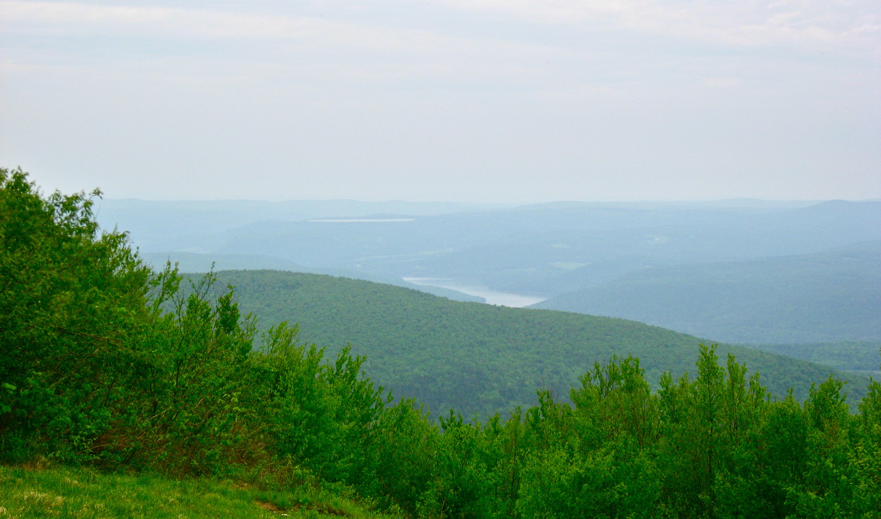
View Into Valley
Mount Utsayantha
September 4 (247/365)
The Lexington House 2
On Mount Utsayantha

cst-hills
View North (Schoharie Res)

Mine Kill State Park
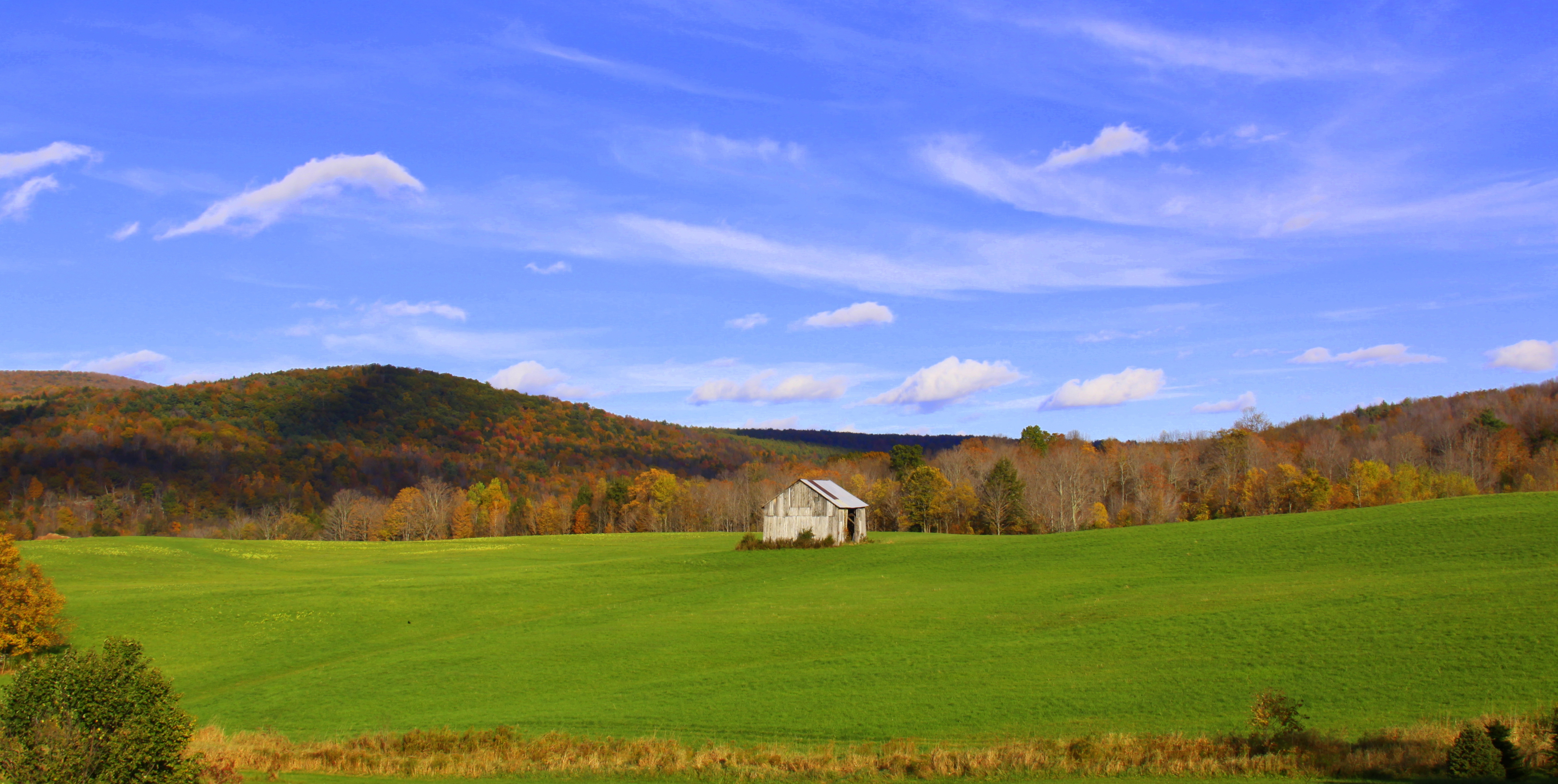
barn and landscape NY
View from the cabin porch
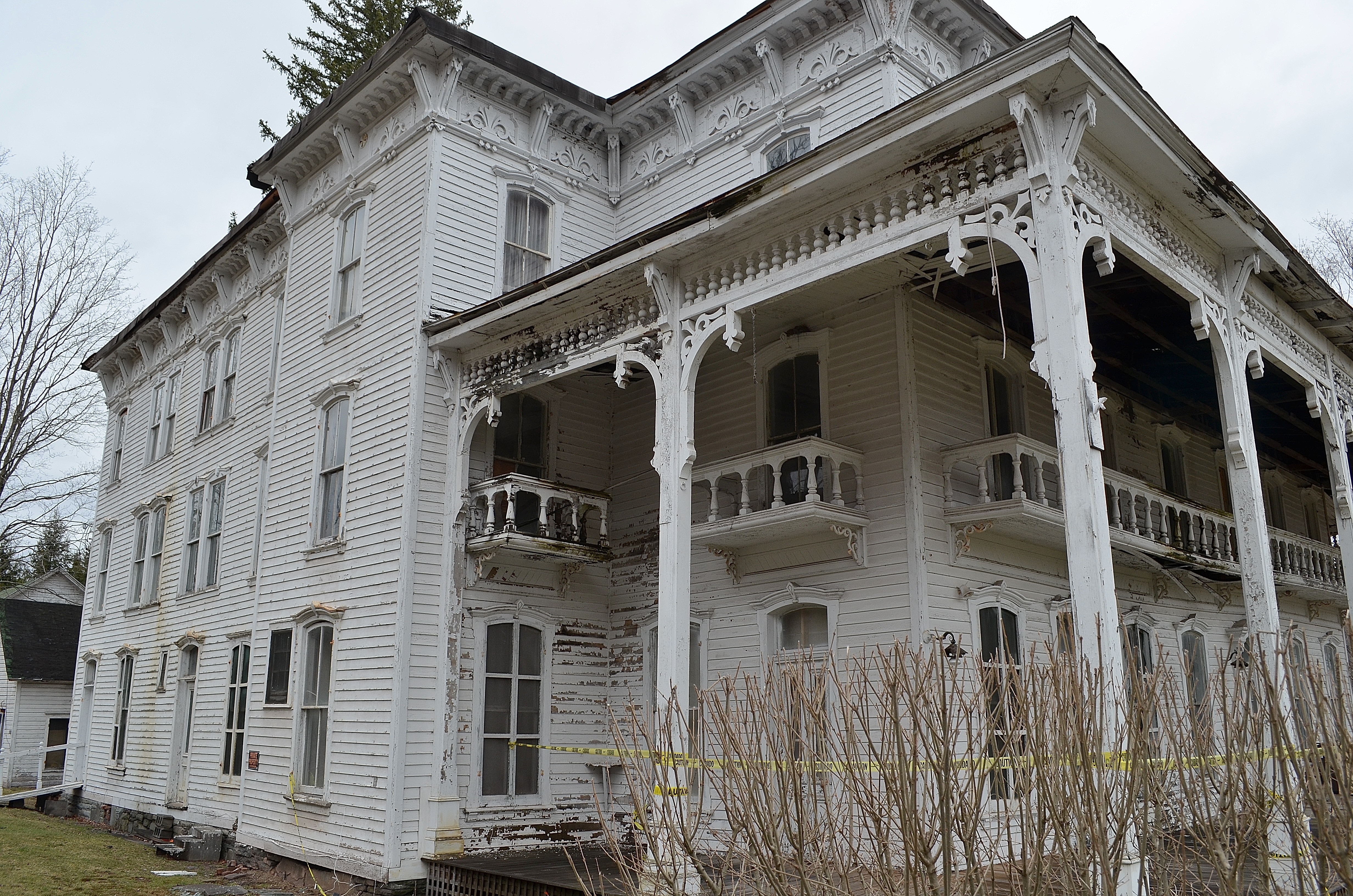
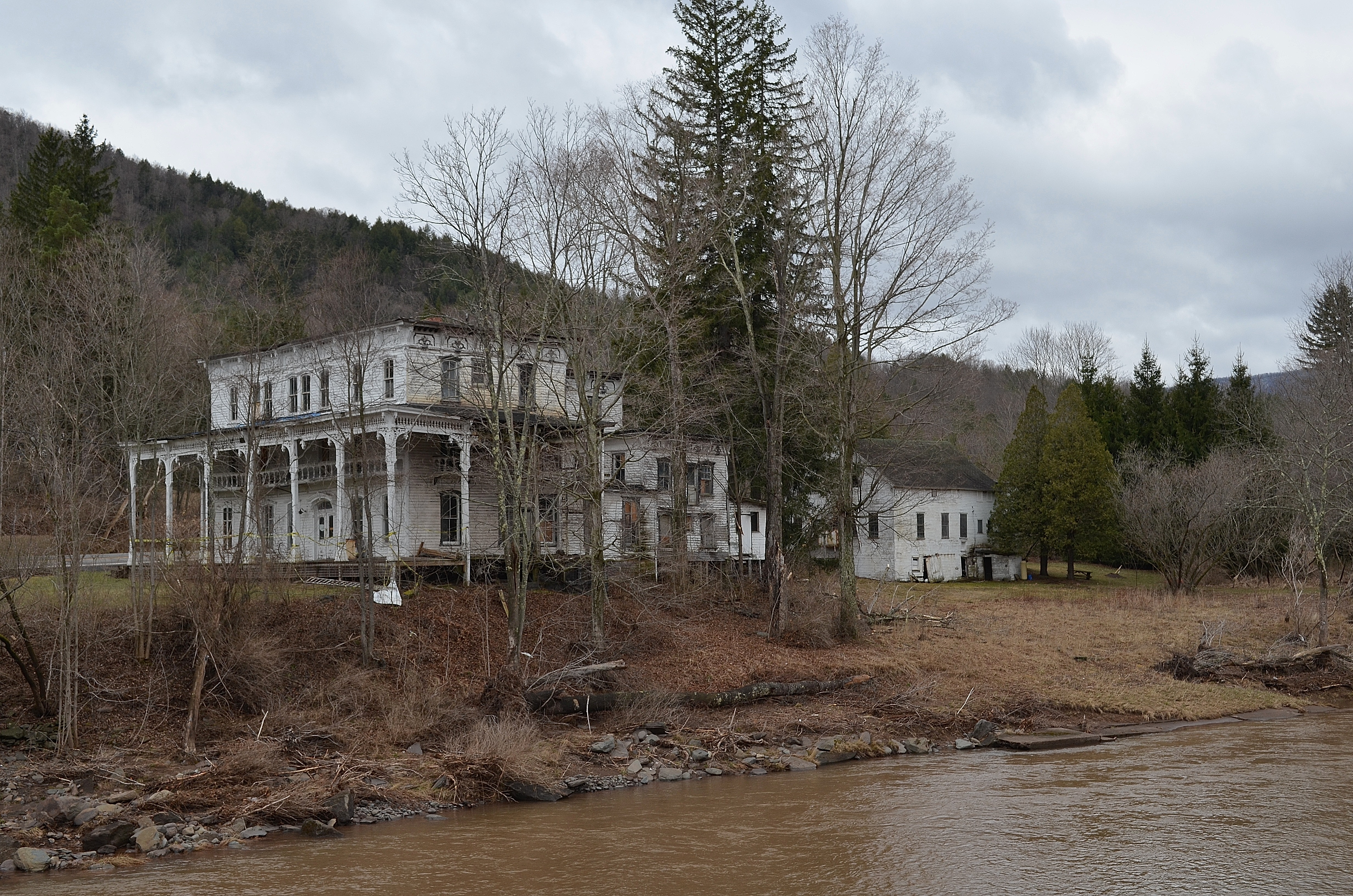
The Lexington House

Grand Gorge, NY 20031014 076 view from New York State Route 30

Grand Gorge, NY 20031014 075 view from New York State Route 30

Time for take off...
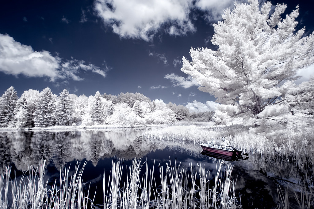
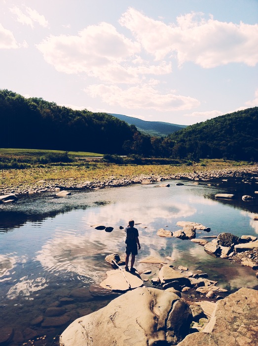
Gone Fishing
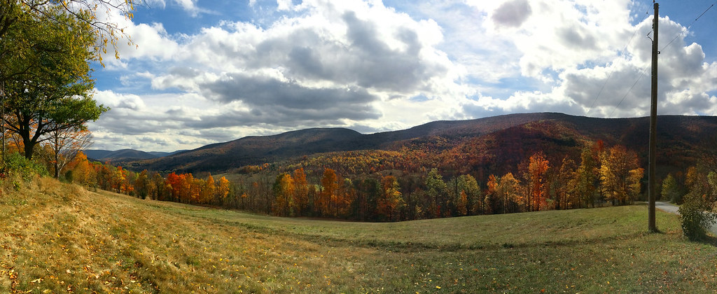
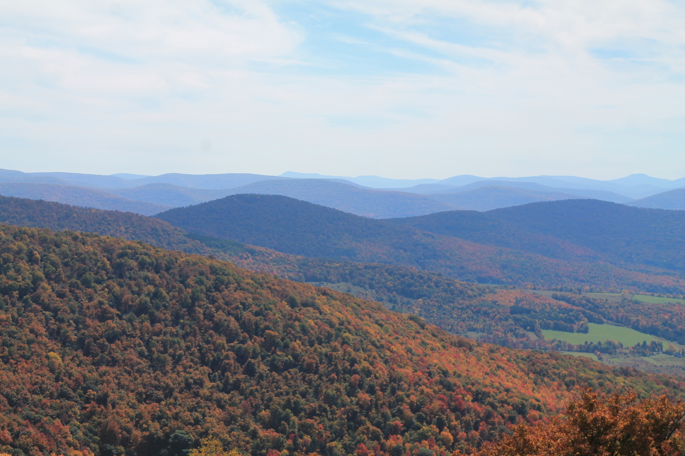
Catskills Panorama
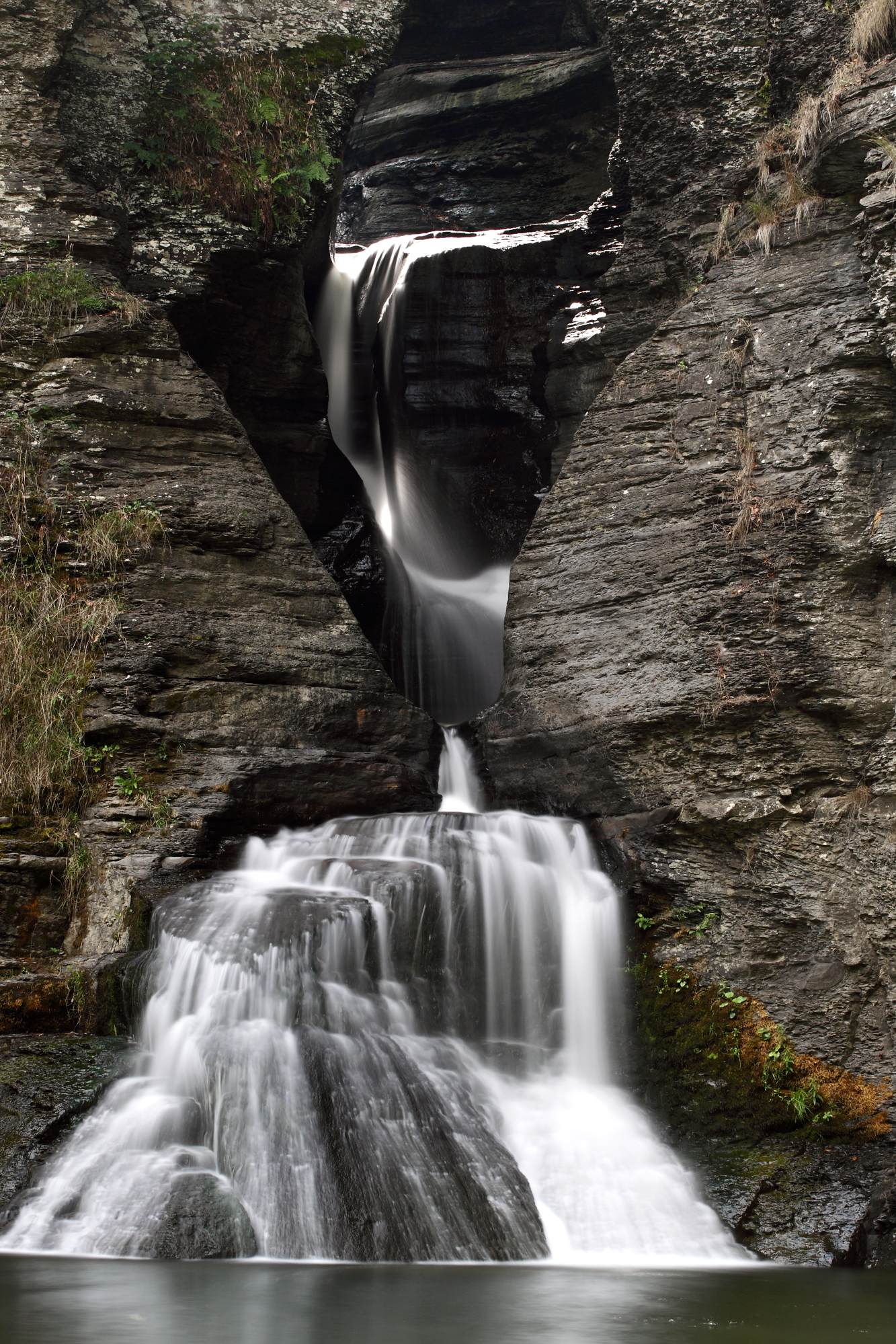
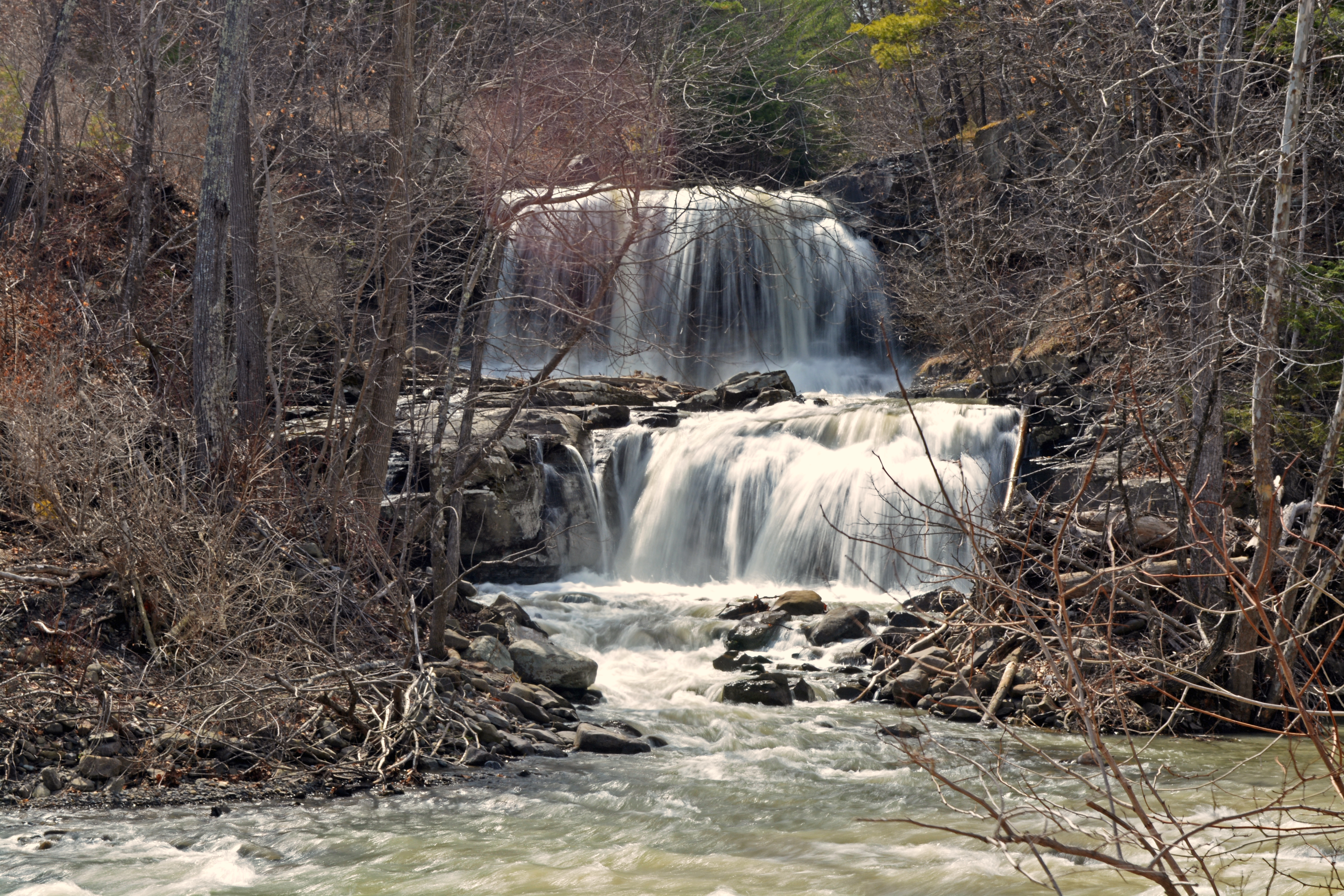
Mine Kill Falls
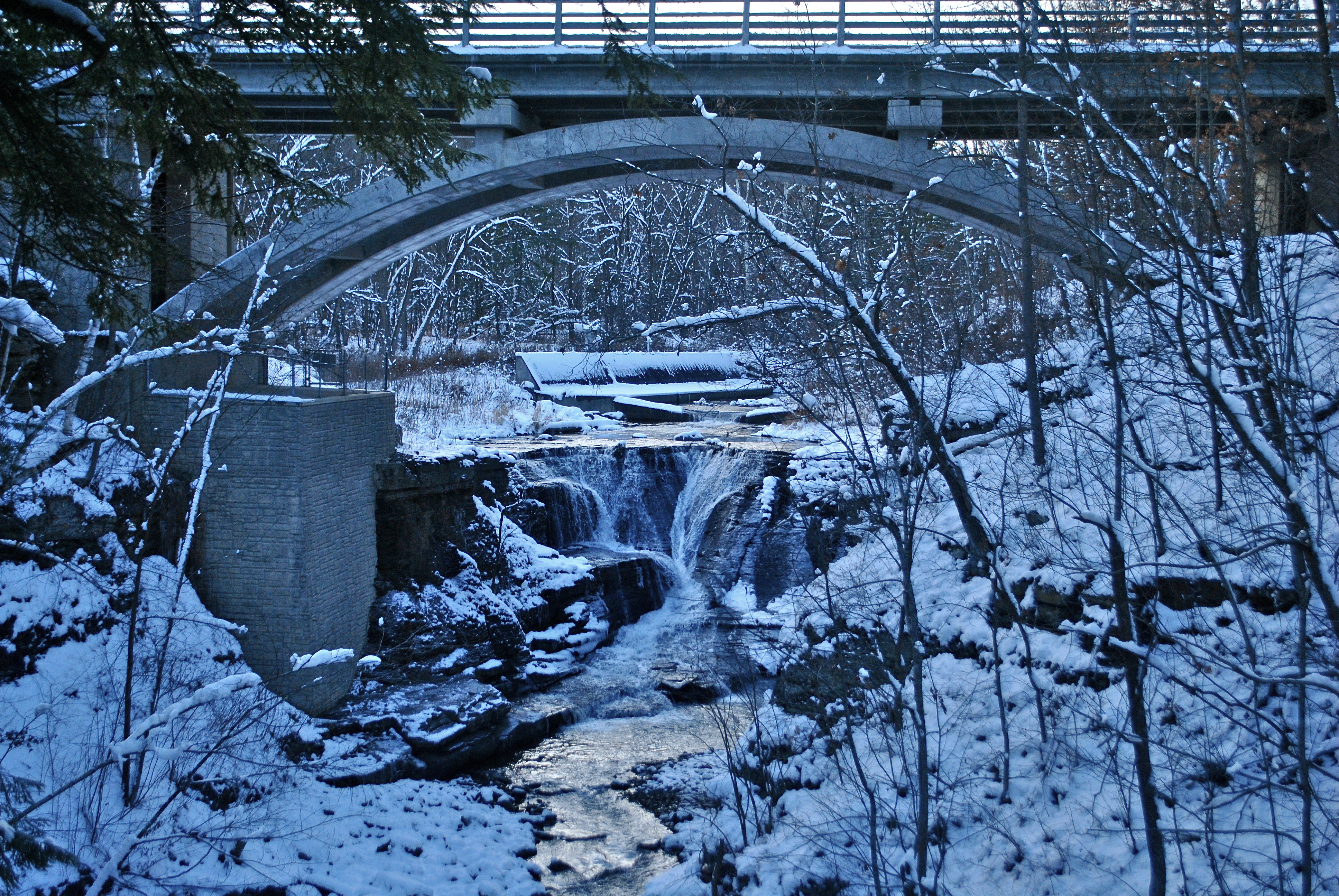
Minekill Bridge

Tower Mountain Road

Mine Kill State Park
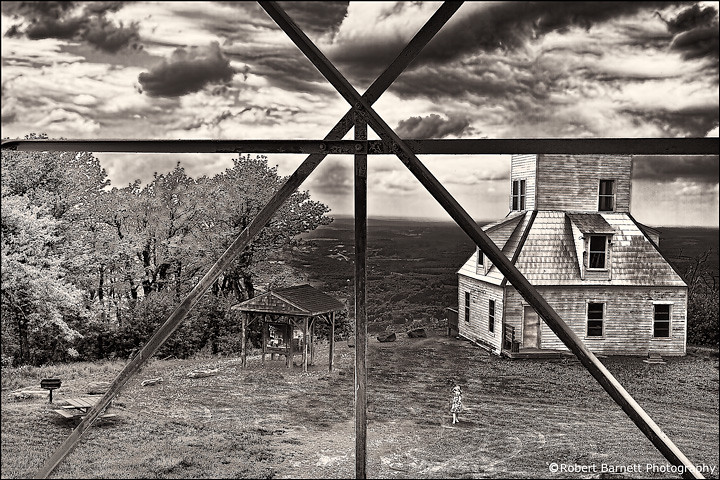
Catskill Mountains from the Firetower
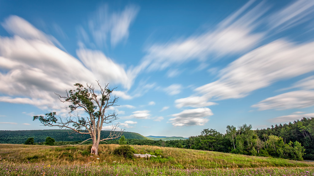
A Tree
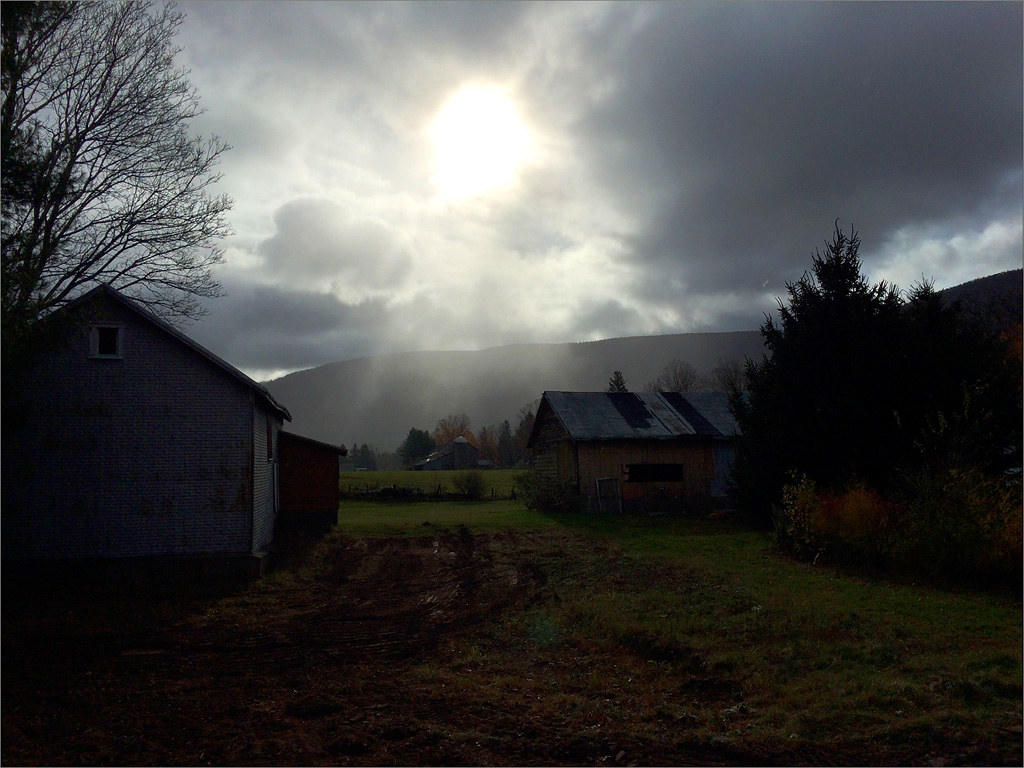
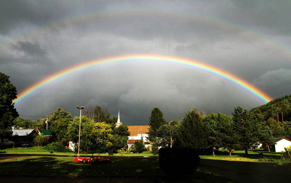
Sun Shower
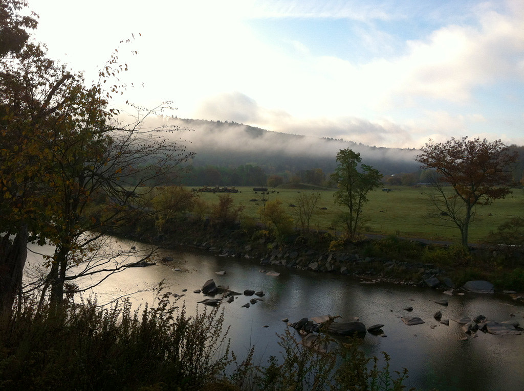
Schoharie Creek
Mill Creek Falls
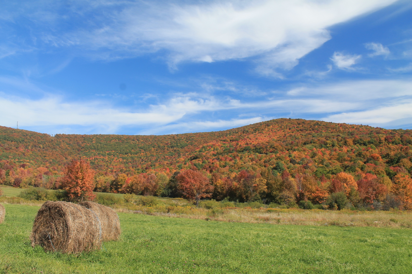
Catskills Landscape
Greene County

IMAG0391.jpg

Over Yonder
Moresville Range

top o' the hill
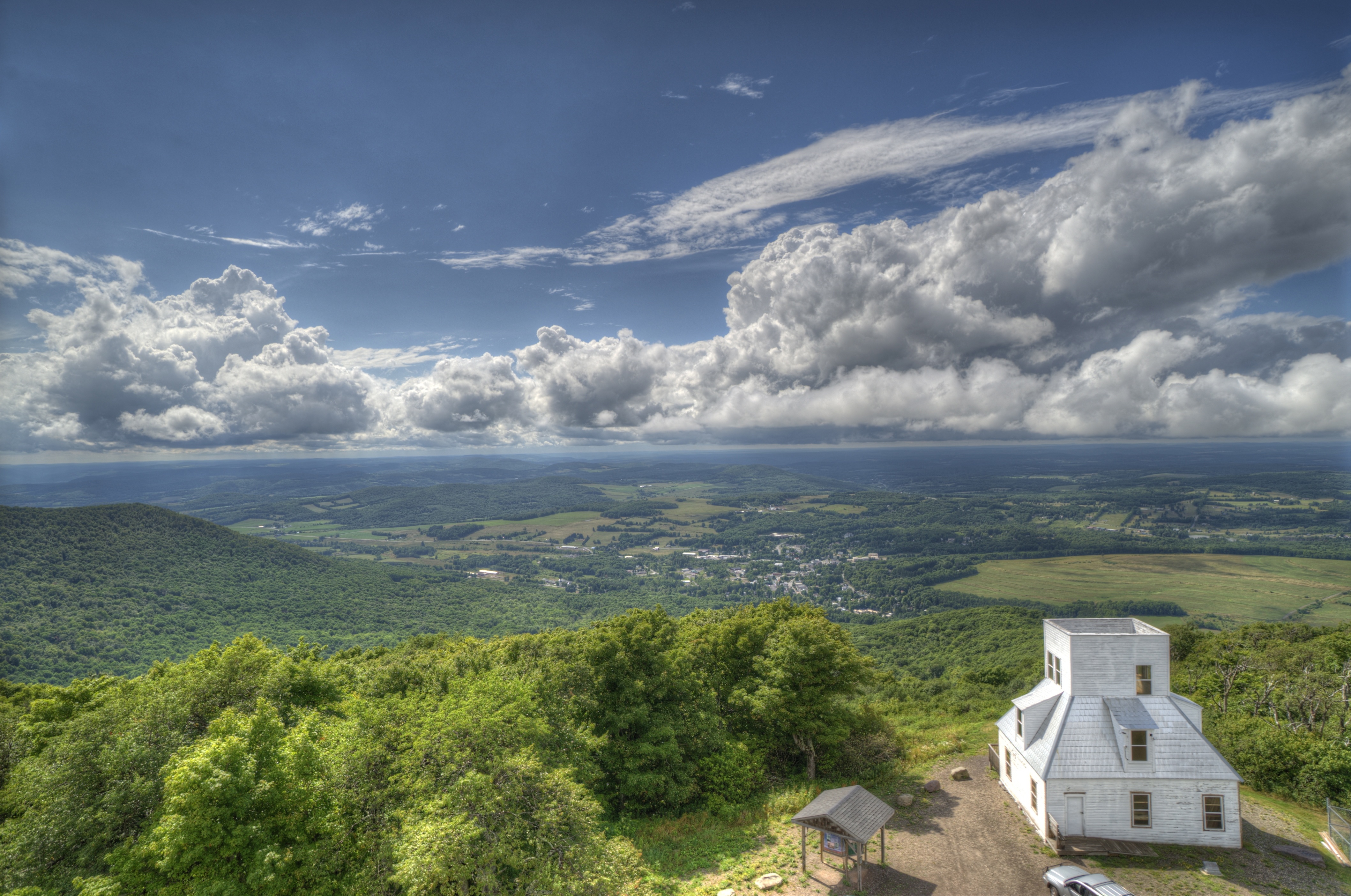
Mt Utsayantha

DSC_0084.JPG
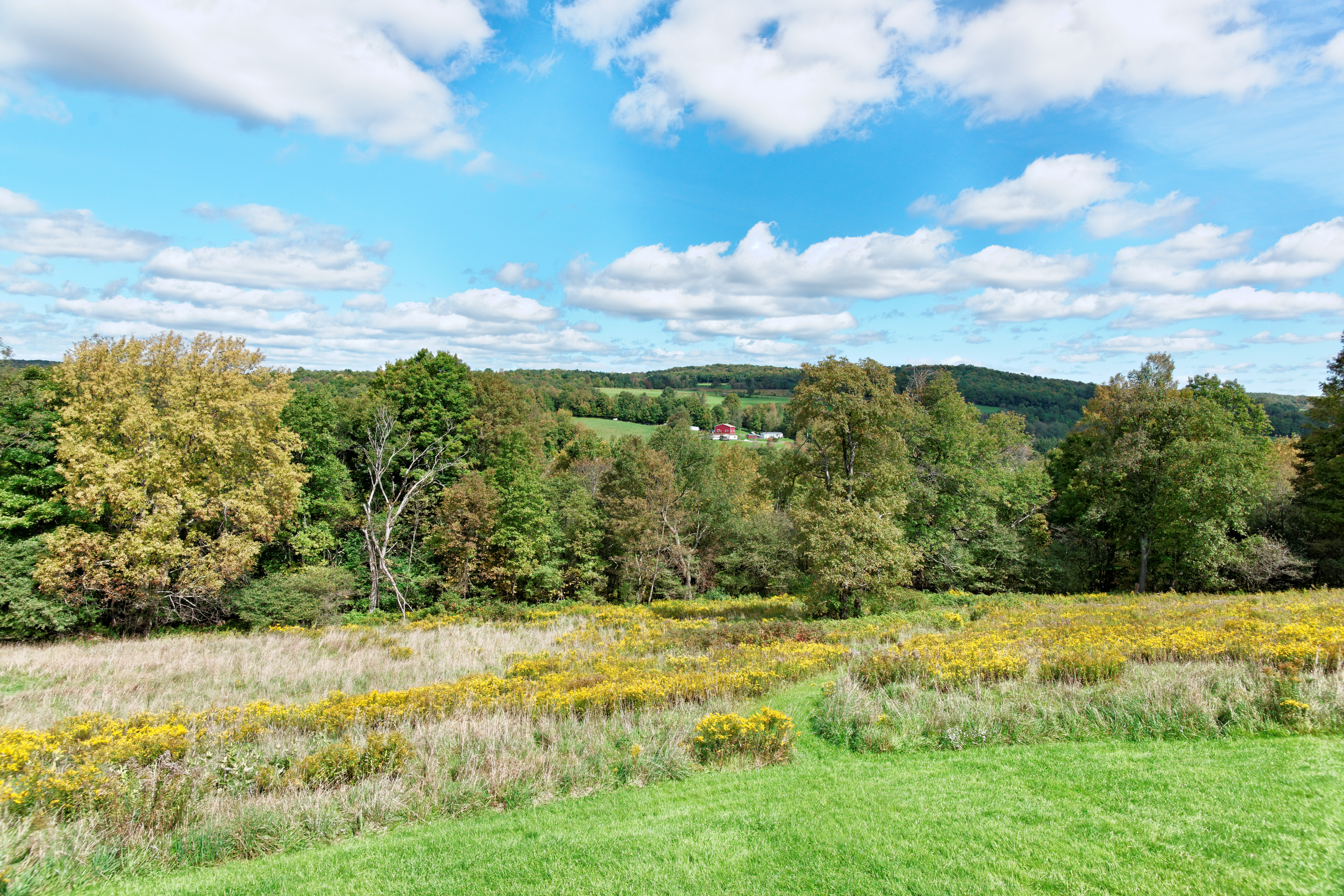
DSC01809_DxO.jpg

I'm not alone
Topographic Map of Charles Dent Rd, Grand Gorge, NY, USA
Find elevation by address:

Places near Charles Dent Rd, Grand Gorge, NY, USA:
319 Charles Dent Rd
Grand Gorge
591 Old Ferris Farm Rd
40568 Ny-23
38104 Ny-23
38104 Ny-23
Prattsville
273 Rossman Rd
Prattsville
50 Bunny Ln
4323 Washington St
182 Truesdell Rd
195 Overlook Dr
21 Vega Mountain Rd, Denver, NY, USA
6841 Co Rd 36
Stone Hollow
Rte 23c, Prattsville, NY, USA
Halcott
11821 Ny-23a
65 Turkey Ridge Rd
Recent Searches:
- Elevation of 12 Hutchinson Woods Dr, Fletcher, NC, USA
- Elevation of Holloway Ave, San Francisco, CA, USA
- Elevation of Norfolk, NY, USA
- Elevation of - San Marcos Pass Rd, Santa Barbara, CA, USA
- Elevation of th Pl SE, Issaquah, WA, USA
- Elevation of 82- D Rd, Captain Cook, HI, USA
- Elevation of Harlow CM20 2PR, UK
- Elevation of Shenyang Agricultural University, Dong Ling Lu, Shen He Qu, Shen Yang Shi, Liao Ning Sheng, China
- Elevation of Alpha Dr, Melbourne, FL, USA
- Elevation of Hiroshima University, 1-chōme-3-2 Kagamiyama, Higashihiroshima, Hiroshima -, Japan