Elevation of Ban Mae Chaem Health Center, Highway, Mueang Pan, Amphoe Mueang Pan, Chang Wat Lampang, Thailand
Location: Thailand > Lampang >
Longitude: 99.42082
Latitude: 18.923413
Elevation: 1027m / 3369feet
Barometric Pressure: 90KPa
Elevation Map:
Satellite Map:
Related Photos:

Double Moment

Cows and rice fields

Tharnthong Lodges Chiang Mai Thailand Wedding Photography | NET-Photography Thailand Photographer

landscape of Chiang Mai

Doi Saket Mountains

P1010558 (2)

P1010586 (2)
P1010594 (2)

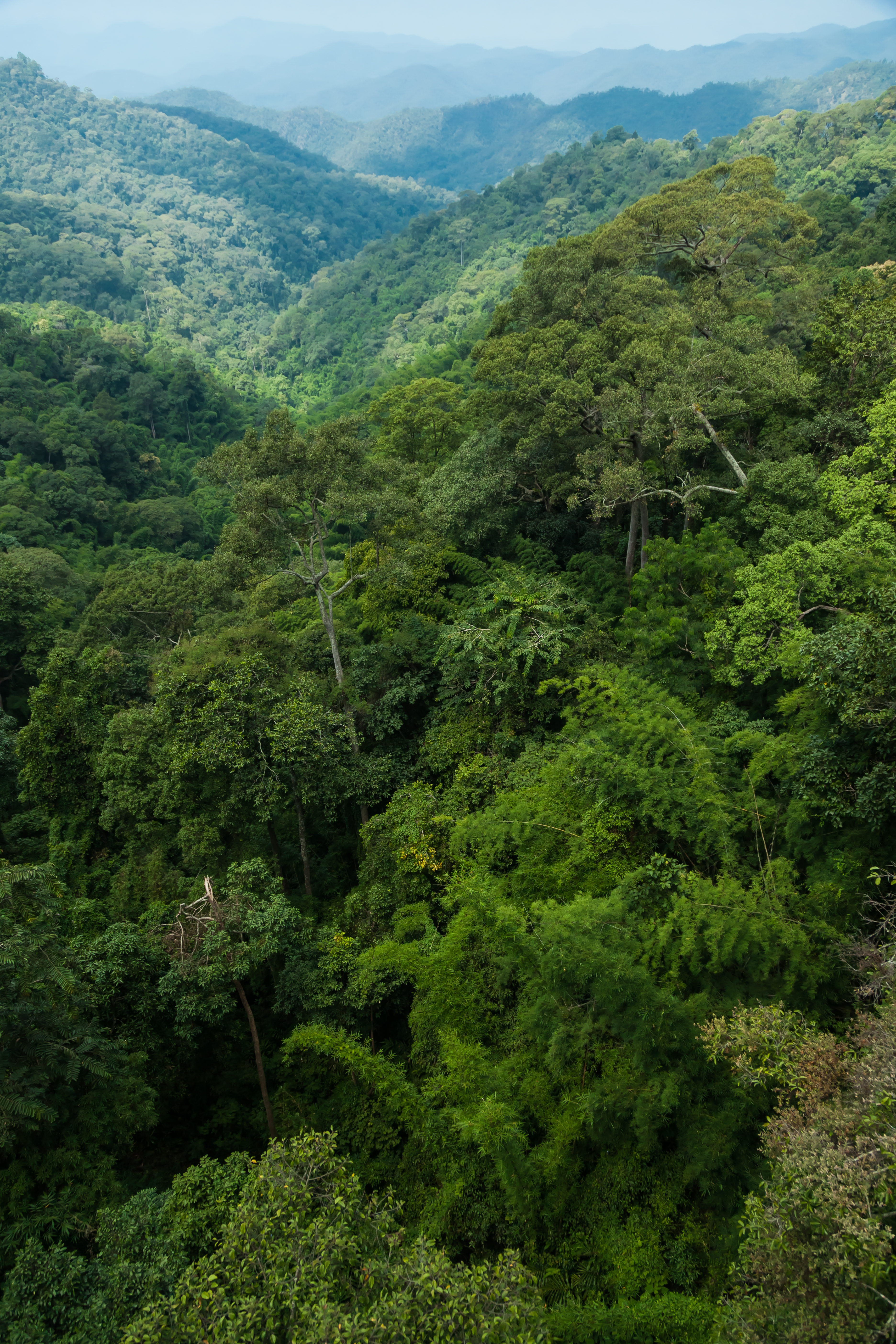
Mountains of the north

เย็นสบาย
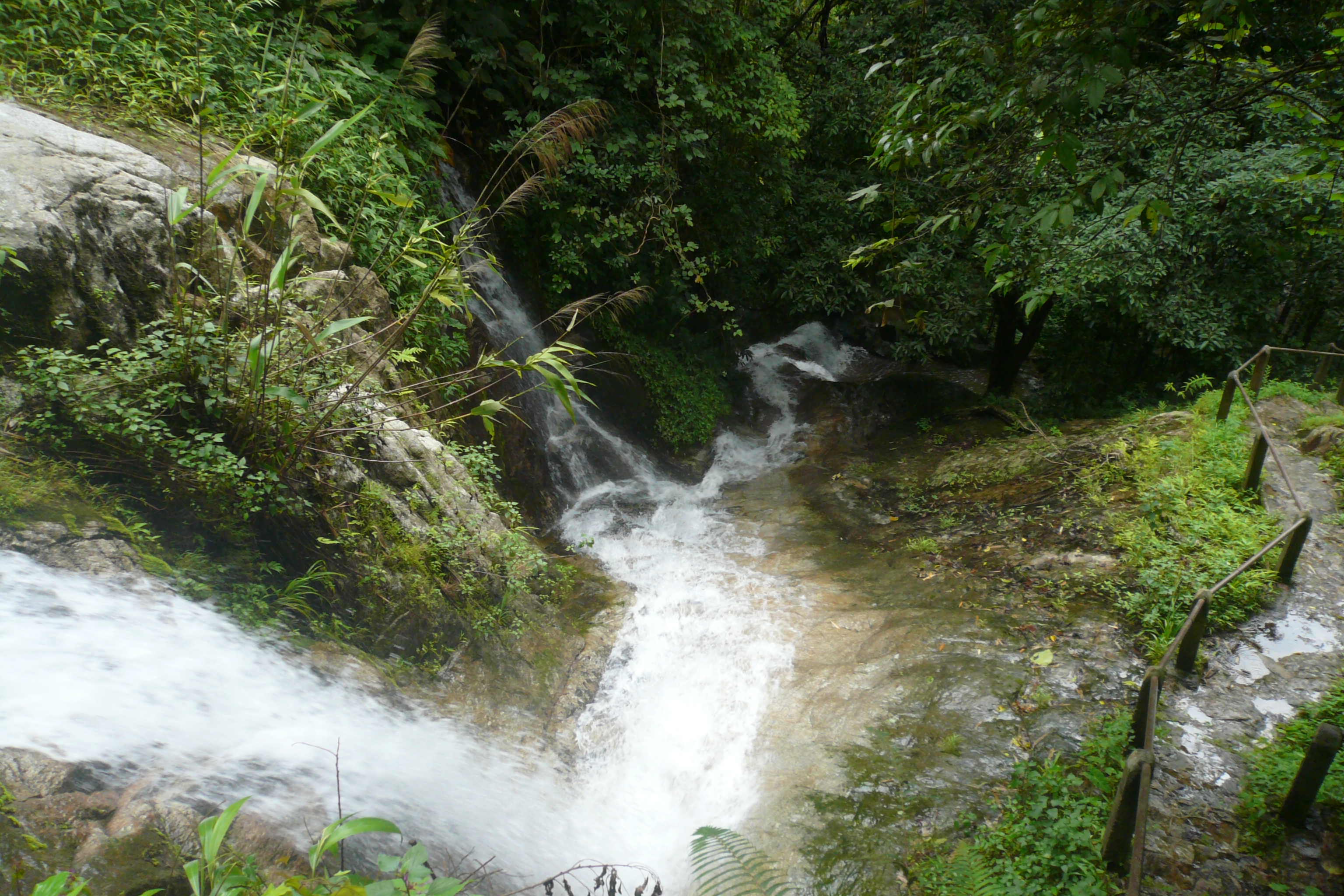
Rain Forest

DSC_0284~2

2013-01-13 11.45.54

20121122-PB220037
20121122-PB220072

20121122-PB220006

the Hot spring

the Rock'n Hot spring

Day Dreaming

Jae-Son Hot Spring

Hot Spring Pond

20121122-PB220032
Topographic Map of Ban Mae Chaem Health Center, Highway, Mueang Pan, Amphoe Mueang Pan, Chang Wat Lampang, Thailand
Find elevation by address:

Places near Ban Mae Chaem Health Center, Highway, Mueang Pan, Amphoe Mueang Pan, Chang Wat Lampang, Thailand:
Thep Sadet Witthaya School
Mae On
On Nuea
Mae Kachan Hot Spring And Geyser
Chiang Mai Highlands Golf And Spa Resort.
Rong Kho
San Khamphaeng Hot Springs
Mae On District
The Oriental Village
Ban Sa Ha Khon
Mae Chedi Mai
Chaehom Thanaphong
Pa Pong
Chae Hom District
Doi Saket District
Doi Saket Hospital
Wang Nuea District
Luang Nuea
Chae Hom
Alpine Golf Resort
Recent Searches:
- Elevation of Tater Hill, Oklahoma, USA
- Elevation of NY-, Friendship, NY, USA
- Elevation of 64 Danakas Dr, Winnipeg, MB R2C 5N7, Canada
- Elevation of 4 Vale Rd, Sheffield S3 9QX, UK
- Elevation of Keene Point Drive, Keene Point Dr, Grant, AL, USA
- Elevation of State St, Zanesville, OH, USA
- Elevation of Austin Stone Dr, Haslet, TX, USA
- Elevation of Bydgoszcz, Poland
- Elevation of Bydgoszcz, Poland
- Elevation of Calais Dr, Del Mar, CA, USA