Elevation map of Lampang, Thailand
Location: Thailand >
Longitude: 99.490874
Latitude: 18.2888404
Elevation: 237m / 778feet
Barometric Pressure: 99KPa
Elevation Map:
Satellite Map:
Related Photos:

Girl On The Bridge
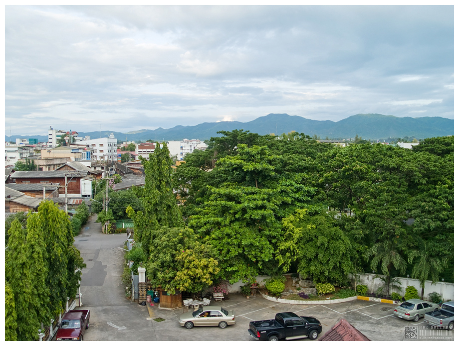
Lampang : hotel view

Lamphang - Wat Suchada

#igth #sunset #blackandwhite #HDR
Lampang, 13/07/2013
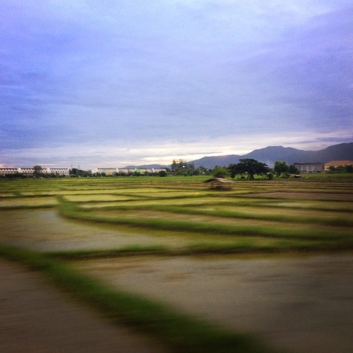
Dawn on the train

IMGP3883-Panorama.jpg

Mae Moh, Lampang

Clear Mind
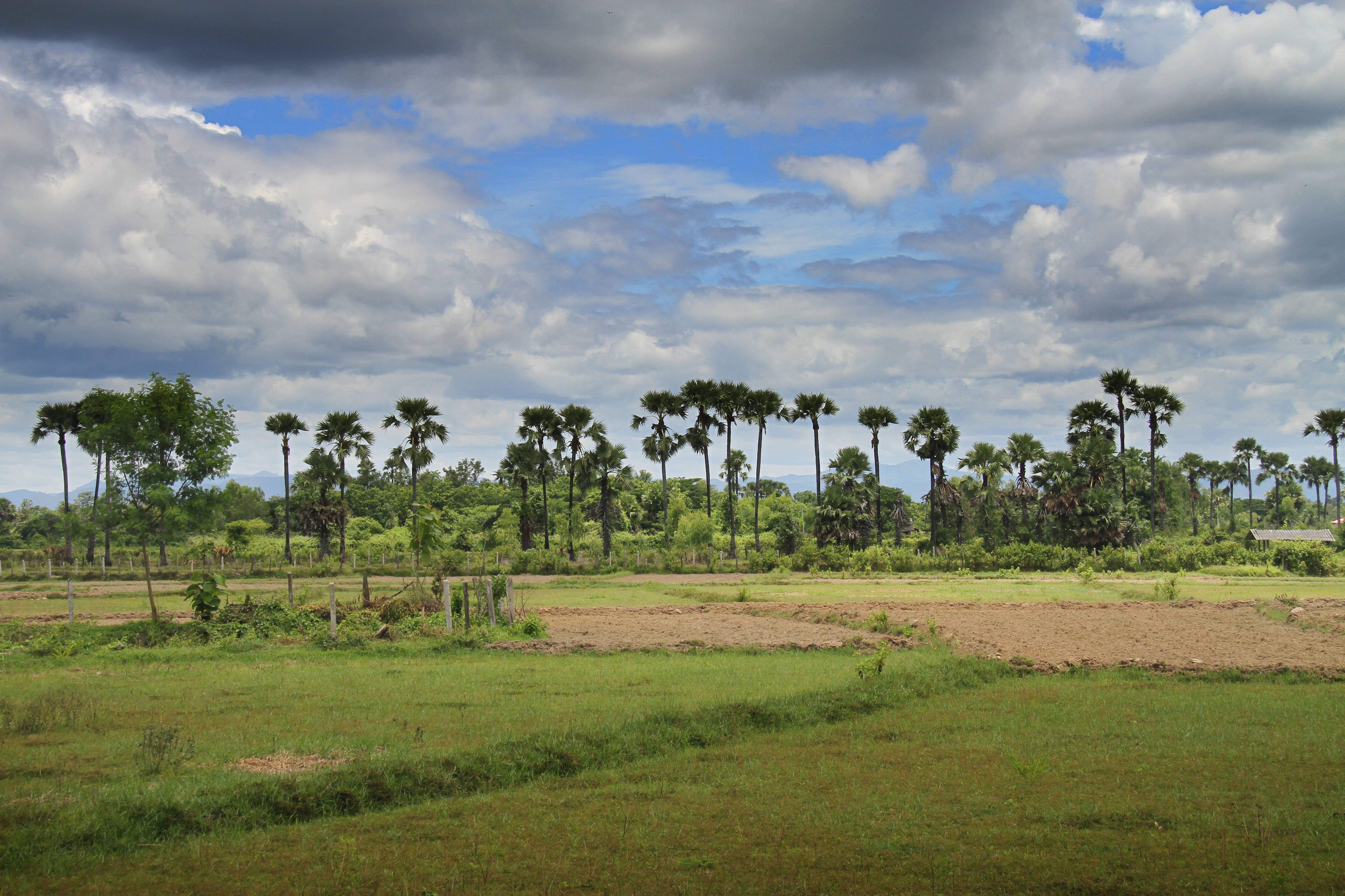
Ton Thong Chai Lampang

Faith is Learned
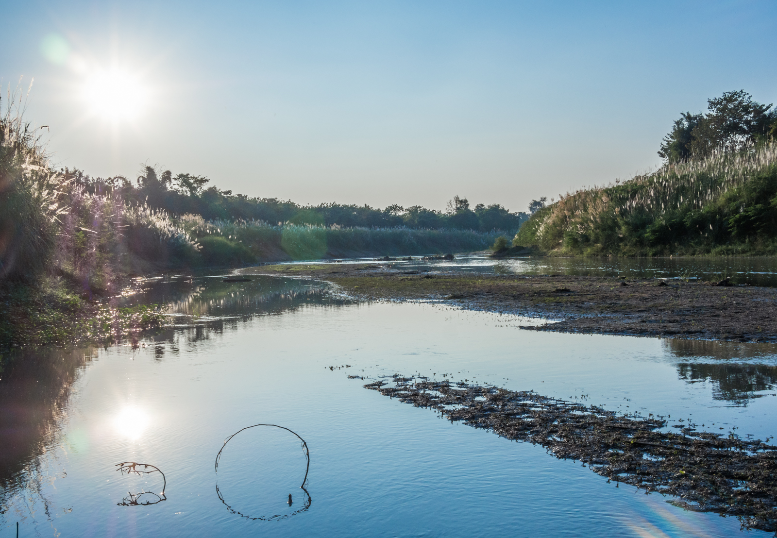
Wang River

Carriages at Lampang 2

Lampang - traditional houses by the Wang River

Carriages at Lampang

Got My Eye On You

Sri Satchanalai 3

Sri Satchanalai 1
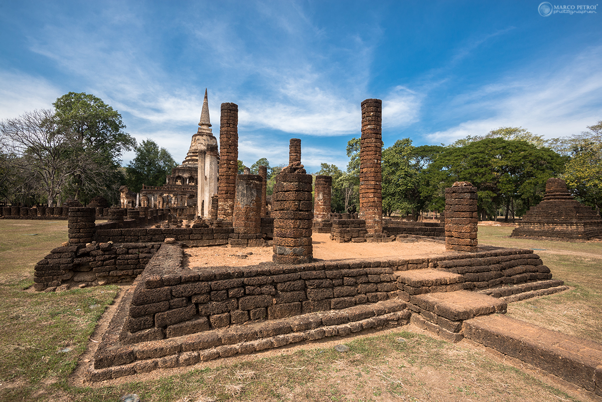
Sri Satchanalai 2

Wat Srichum
Topographic Map of Lampang, Thailand
Find elevation by address:

Places in Lampang, Thailand:
Places near Lampang, Thailand:
Mueang Lampang District
Lampang
Mueang Lampang District, Lampang, Thailand
Ban Ueam
ทางหลวงชนบท ลป.4010
Mae Mo
Khun Tan
Ban Dong
Chae Hom
Chaehom Thanaphong
Alpine Golf Resort
The Oriental Village
Ban Sa Ha Khon
Chae Hom District
On Nuea
Mae On District
Wiang Yong
Mae On
Hariphunchai Golf Club
Mueang Lamphun District
Recent Searches:
- Elevation of Hickory St, Greenville, NC, USA
- Elevation of Poplar Ln, Guffey, CO, USA
- Elevation of Falling Spring Rd, Clyde, NC, USA
- Elevation of Kingsfield St, Castle Rock, CO, USA
- Elevation of AMELIA CT HSE, VA, USA
- Elevation of Abbey Dr, Virginia Beach, VA, USA
- Elevation of Brooks Lp, Spearfish, SD, USA
- Elevation of Panther Dr, Maggie Valley, NC, USA
- Elevation of Jais St - Wadi Shehah - Ras al Khaimah - United Arab Emirates
- Elevation of Shawnee Avenue, Shawnee Ave, Easton, PA, USA