Elevation of Ban Khwao District, Chaiyaphum, Thailand
Location: Thailand > Chaiyaphum >
Longitude: 101.820756
Latitude: 15.809684
Elevation: 208m / 682feet
Barometric Pressure: 99KPa
Elevation Map:
Satellite Map:
Related Photos:
Ban Khwao

Besökare Samtidigt

#vscocam #vccocamthailand #rinwatchara #steetphotoghaphy

Thai Coffee

Isaan Sausage BBQ

TG 960

Un petite rando !

Les rizières...

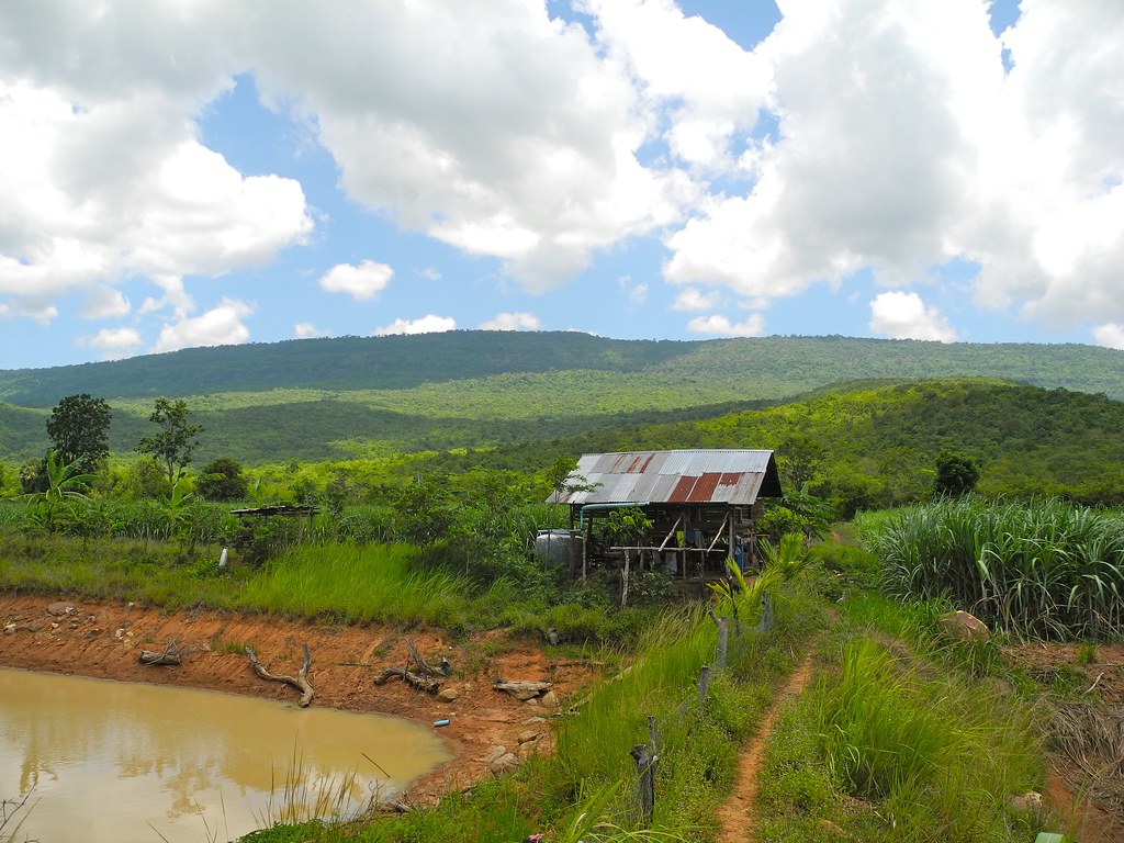
Le campagne autour du hameau de Ban Khwao

Ban Khwao
Topographic Map of Ban Khwao District, Chaiyaphum, Thailand
Find elevation by address:

Places in Ban Khwao District, Chaiyaphum, Thailand:
Places near Ban Khwao District, Chaiyaphum, Thailand:
Ban Khwao Thai Silk
Non Daeng
Ban Khwao
Chaiyaphum
Tha Mafai Wan
Kaeng Khro District
Khok Pho Chai District
Kaeng Khro
Na Phaeng
Mancha Khiri District
Turtle Village
Suan Mon
Nam Nao
ที่ว่าการอำเภอน้ำหนาว
Phu Kradueng
Nong Na Kham
Recent Searches:
- Elevation of Congressional Dr, Stevensville, MD, USA
- Elevation of Bellview Rd, McLean, VA, USA
- Elevation of Stage Island Rd, Chatham, MA, USA
- Elevation of Shibuya Scramble Crossing, 21 Udagawacho, Shibuya City, Tokyo -, Japan
- Elevation of Jadagoniai, Kaunas District Municipality, Lithuania
- Elevation of Pagonija rock, Kranto 7-oji g. 8"N, Kaunas, Lithuania
- Elevation of Co Rd 87, Jamestown, CO, USA
- Elevation of Tenjo, Cundinamarca, Colombia
- Elevation of Côte-des-Neiges, Montreal, QC H4A 3J6, Canada
- Elevation of Bobcat Dr, Helena, MT, USA