Elevation of หมู่ 5 บ้านนาพ่อสอง, อาคารที่ว่าการอำเภอน้ำหนาว, ตำบลน้ำหนาว อำเภอน้ำหนาว จังหวัดเพชรบูรณ์, Tambon Nam Nao, Amphoe Nam Nao, Chang Wat Phetchabun, Thailand

Location: Thailand > Phetchabun > Nam Nao District > Nam Nao >

Longitude: 101.669647

Latitude: 16.767229

Elevation: 855m / 2805feet

Barometric Pressure: 91KPa

Elevation Map:

elevation map of หมู่ 5 บ้านนาพ่อสอง, อาคารที่ว่าการอำเภอน้ำหนาว, ตำบลน้ำหนาว อำเภอน้ำหนาว จังหวัดเพชรบูรณ์, Tambon Nam Nao, Amphoe Nam Nao, Chang Wat Phetchabun, Thailand

Satellite Map:

Satellite map of หมู่ 5 บ้านนาพ่อสอง, อาคารที่ว่าการอำเภอน้ำหนาว, ตำบลน้ำหนาว อำเภอน้ำหนาว จังหวัดเพชรบูรณ์, Tambon Nam Nao, Amphoe Nam Nao, Chang Wat Phetchabun, Thailand

Related Photos:

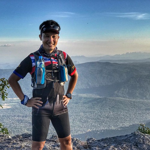
instagramapp square squareformat iphoneography uploaded:by=instagram
Running with a view #trail #running
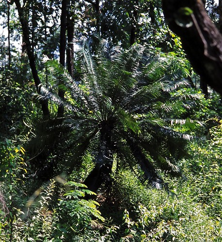
taxonomy:binomial=cycaspectinata
Cycad Tree (Cycas pectinata)
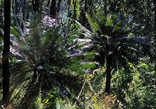
cycaspectinata taxonomy:binomial=cycaspectinata
Cycad Trees (Cycas pectinata)
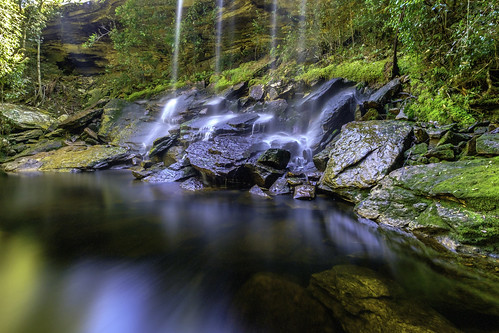
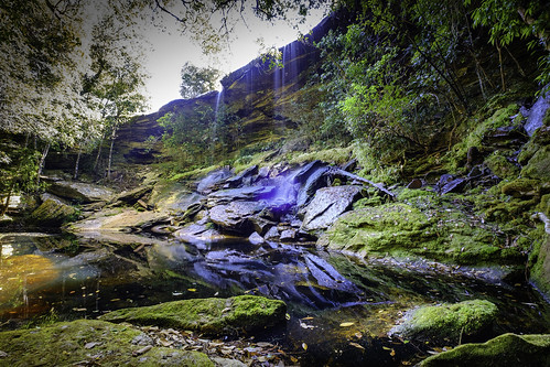
beautiful fujix fujixseries fujifilm fujifilmxseries hiking leoi mountain nature phukradueng river sornue sornuewaterfall thailand xseries xsystem autumn cascade clean cool fall flowing forest fresh freshness green jungle kanchanaburi landscape leaf longexposure motion paradise park plant purity relax rock spring stream travel tree trek tropical water waterfall waterfalls wild wonderful wood
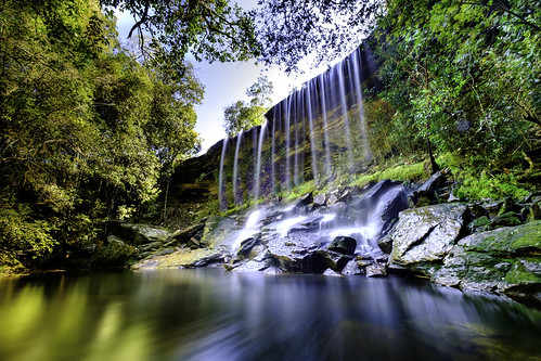
Sor Nue Water Fall
beautiful fujix fujixseries fujifilm fujifilmxseries hiking leoi mountain nature phukradueng river sornue sornuewaterfall thailand xseries xsystem autumn cascade cool fall flowing forest fresh freshness green jungle kanchanaburi landscape leaf longexposure paradise park plant purity relax rock spring stream travel tree trek water waterfall waterfalls wonderful wood
Sor Nue Water Fall, Phu Kra Dueng, Loei, Thailand
beautiful fujix fujixseries fujifilm fujifilmxseries hiking leoi mountain nature phukradueng river sornue sornuewaterfall thailand xseries xsystem autumn cascade clean cool fall flowing forest fresh freshness green jungle kanchanaburi landscape leaf longexposure motion paradise park plant purity relax rock spring stream travel tree trek tropical water waterfall waterfalls wild wonderful wood
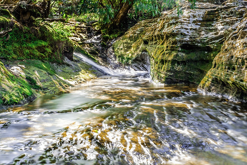
headwaters of Sor Nue Water Fall
thailand loei เลย ภูกระดึง phukradueng sithan tatkha
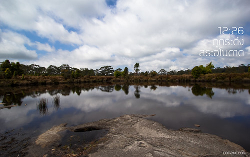
ภูกระดึง 2014
thailand loei เลย ภูกระดึง phukradueng sithan tatkha
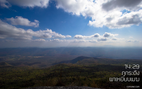
ภูกระดึง 2014
fujix fujixseries fujifilm fujifilmxseries hiking nature phukradueng phukradueng2018 thai xt2 landscape loei travel trek trekking winter
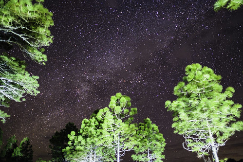
ขึ้นภูกระดึงปีที่ผ่านมานี่ เริ่มไม่สนใจการถ่ายดาว ถ่ายช้างเท่าใดแล้ว
fujix fujixseries fujifilm fujifilmxseries hiking nature phukradueng thai xt2 landscape loei travel trek trekking winter
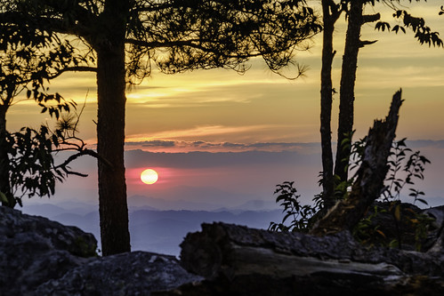
พระอาทิตย์ตกดิน ที่หล่มสัก - Sunset at หล่มสัก cliff
fujix fujixseries fujifilm fujifilmxseries hiking nature phukradueng phukradueng2018 thai xt2 landscape loei travel trek trekking winter
น้ำตกสอเหนือ จัดว่าถ่ายยากมากเลยหล่ะ
fujix fujixseries fujifilm fujifilmxseries hiking nature phukradueng thai xt2 landscape loei travel trek trekking winter
_DSF4338-2

Topographic Map of หมู่ 5 บ้านนาพ่อสอง, อาคารที่ว่าการอำเภอน้ำหนาว, ตำบลน้ำหนาว อำเภอน้ำหนาว จังหวัดเพชรบูรณ์, Tambon Nam Nao, Amphoe Nam Nao, Chang Wat Phetchabun, Thailand

Find elevation by address:


Places near หมู่ 5 บ้านนาพ่อสอง, อาคารที่ว่าการอำเภอน้ำหนาว, ตำบลน้ำหนาว อำเภอน้ำหนาว จังหวัดเพชรบูรณ์, Tambon Nam Nao, Amphoe Nam Nao, Chang Wat Phetchabun, Thailand:

Recent Searches: