Elevation of Balsam Ln, Bluemont, VA, USA
Location: United States > Virginia > Loudoun County > Blue Ridge > Bluemont >
Longitude: -77.861806
Latitude: 39.1417374
Elevation: 173m / 568feet
Barometric Pressure: 99KPa
Elevation Map:
Satellite Map:
Related Photos:

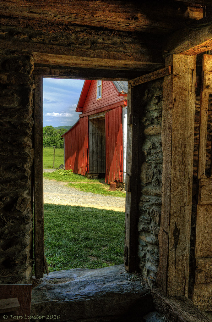
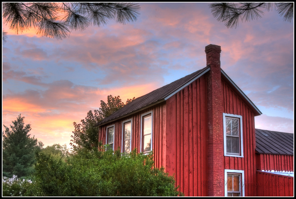
Stone Barn at Foxlease Farm, Upperville, VA
Time Portal

Foxlease Farm, Upperville, VA

Foxlease Farm Training Facility (center building, rear), Upperville, VA
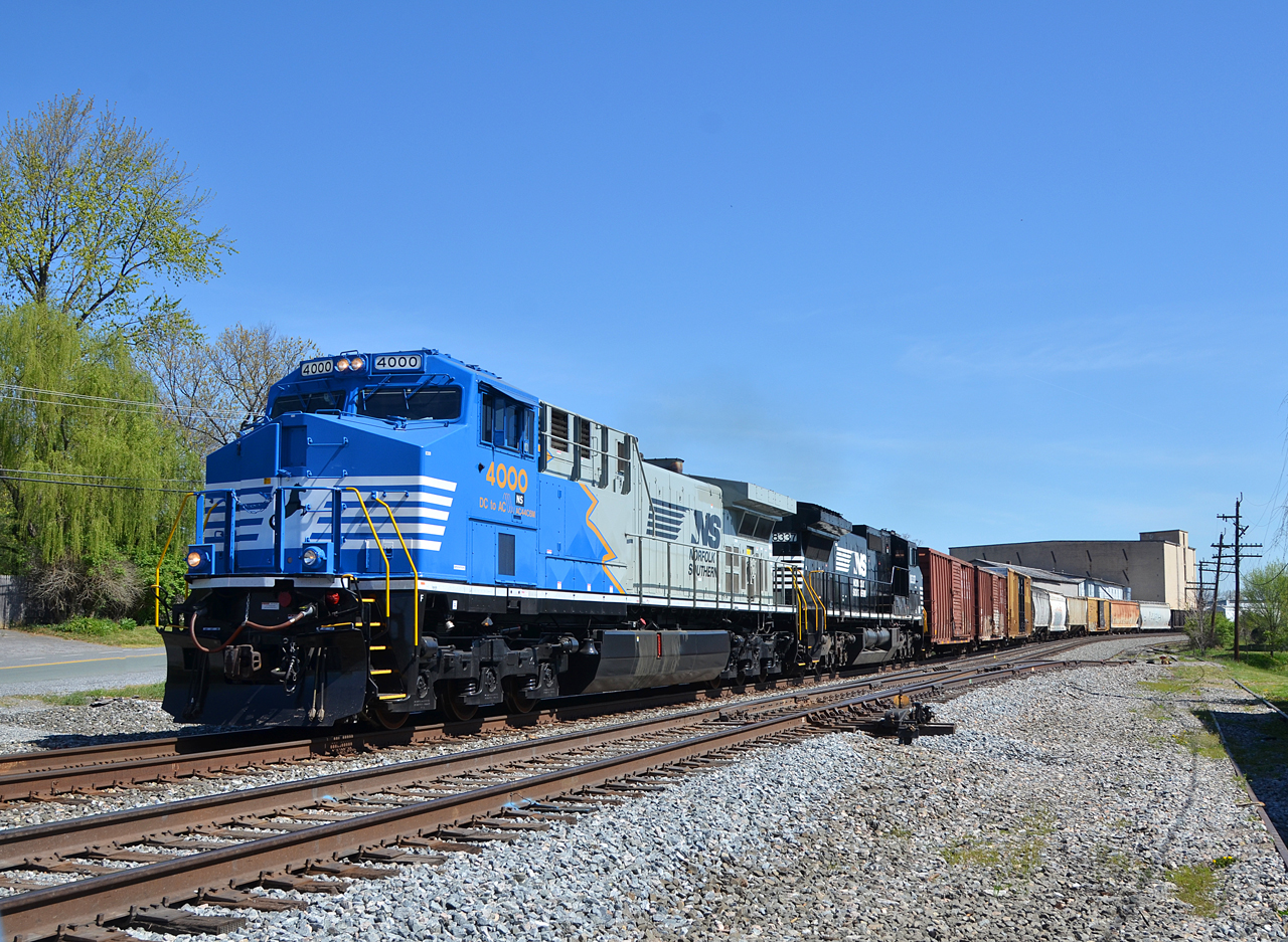
2016 04-18 11:21AM NS AC44C6M-4000 S/B 37-Q, Berryville, VA.

Artwork at Foxlease Farm, Upperville, VA
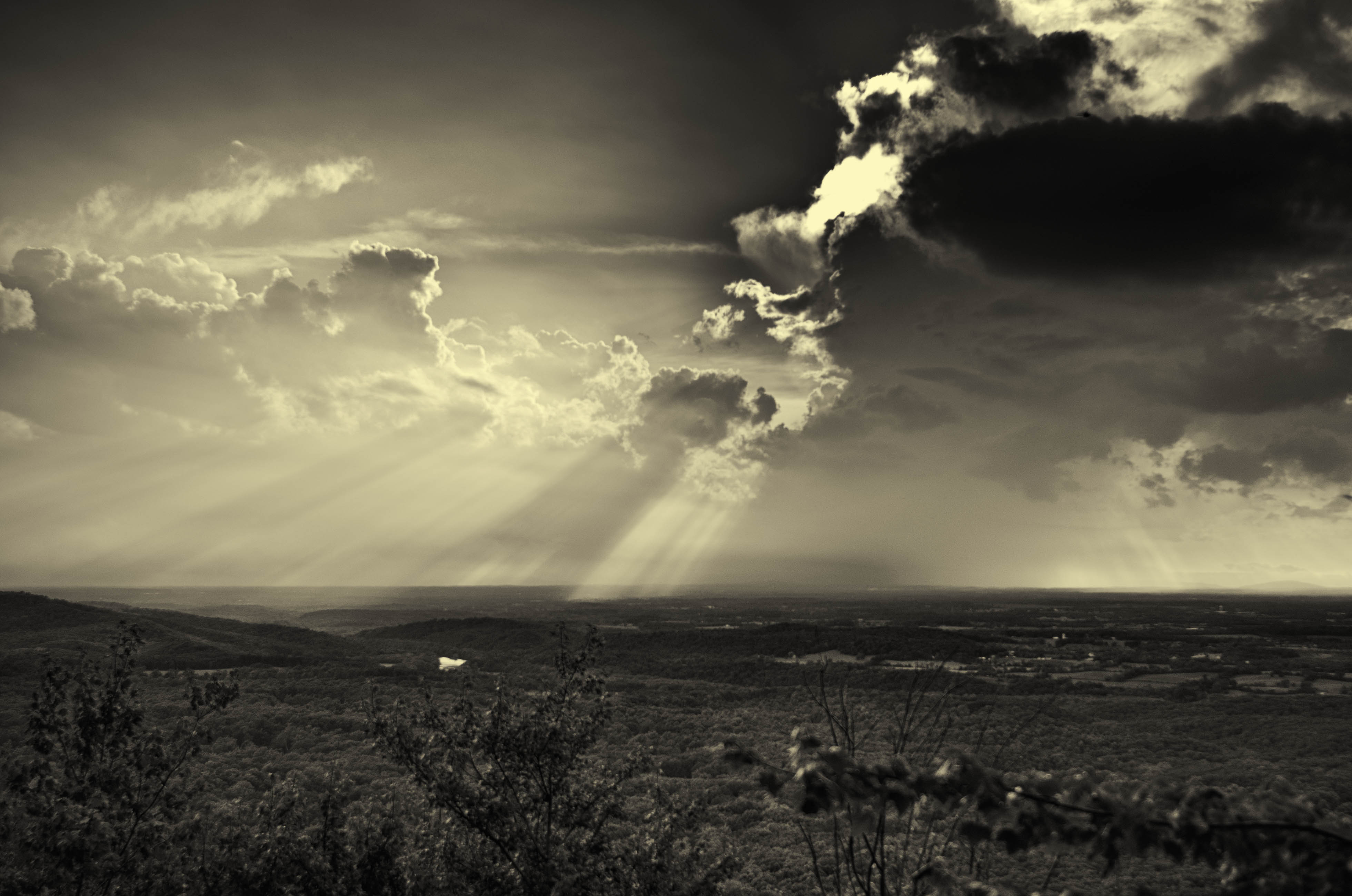
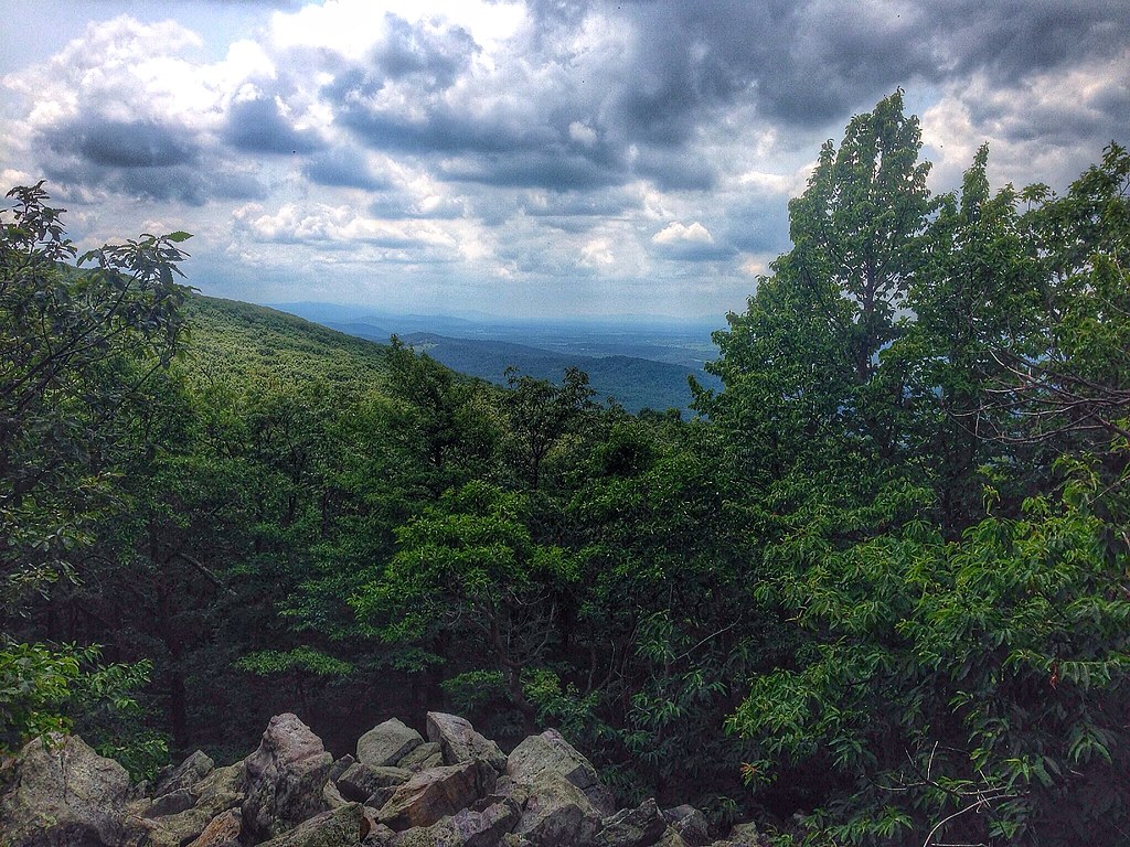
A storm in the distance, Bear's Den, Clarke County, Virginia
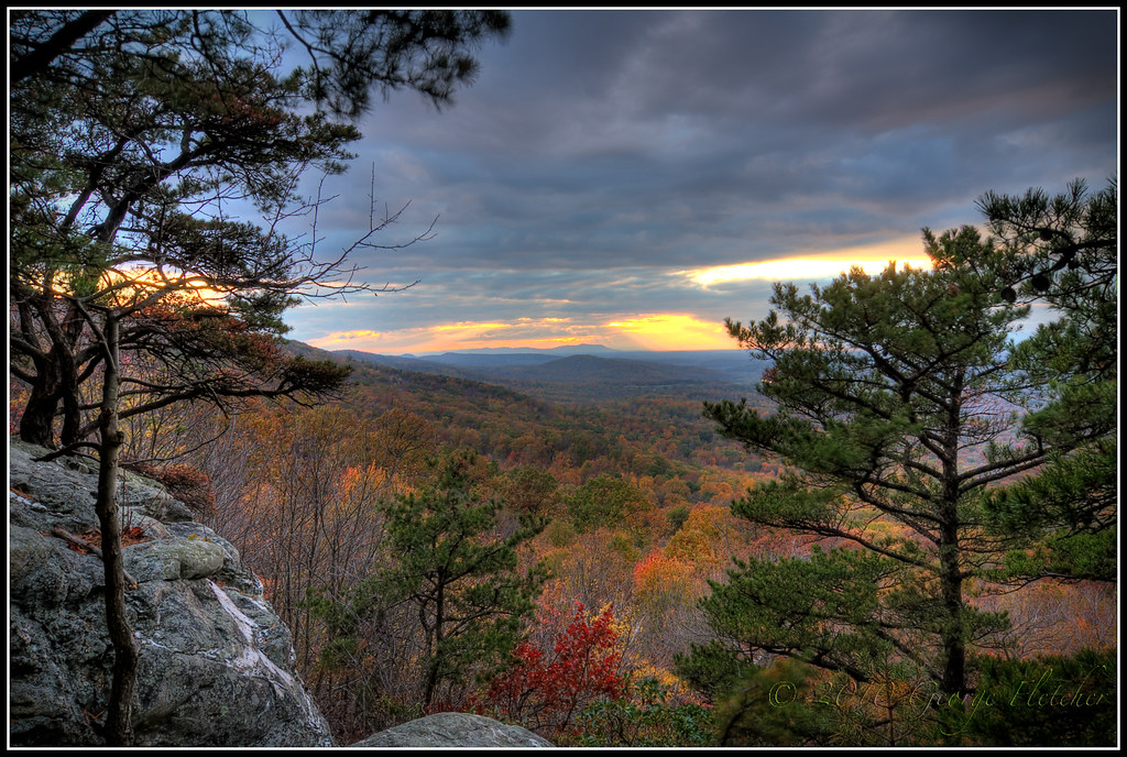
Into the Valley
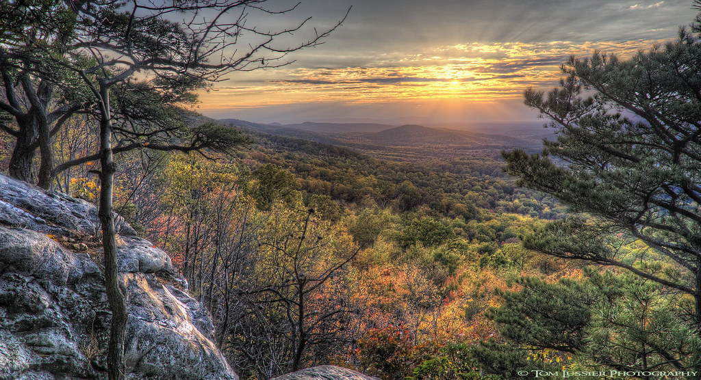
Autumn Evening

Artwork at Foxlease Farm, Upperville, VA

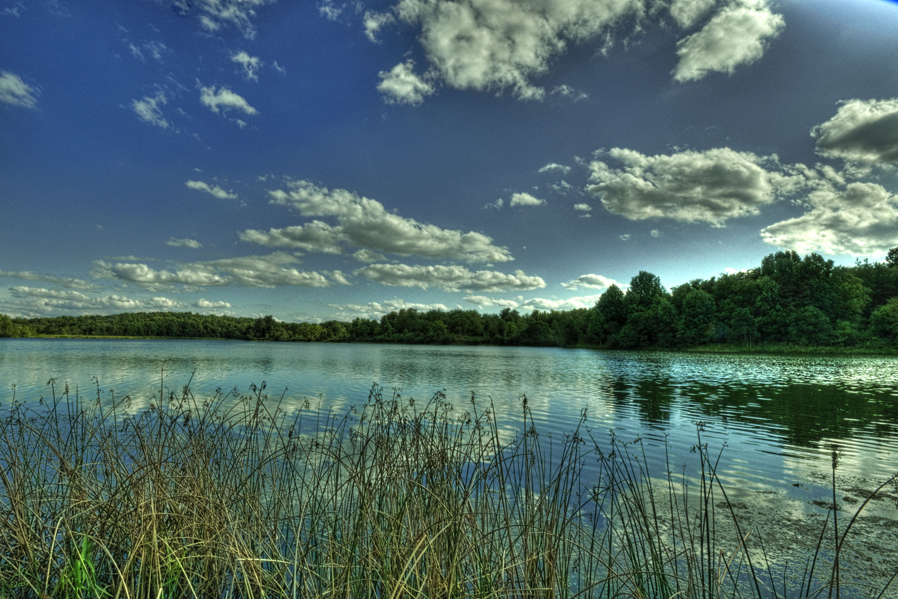
After the Rain

A view in a wine glass!
Last Day of August
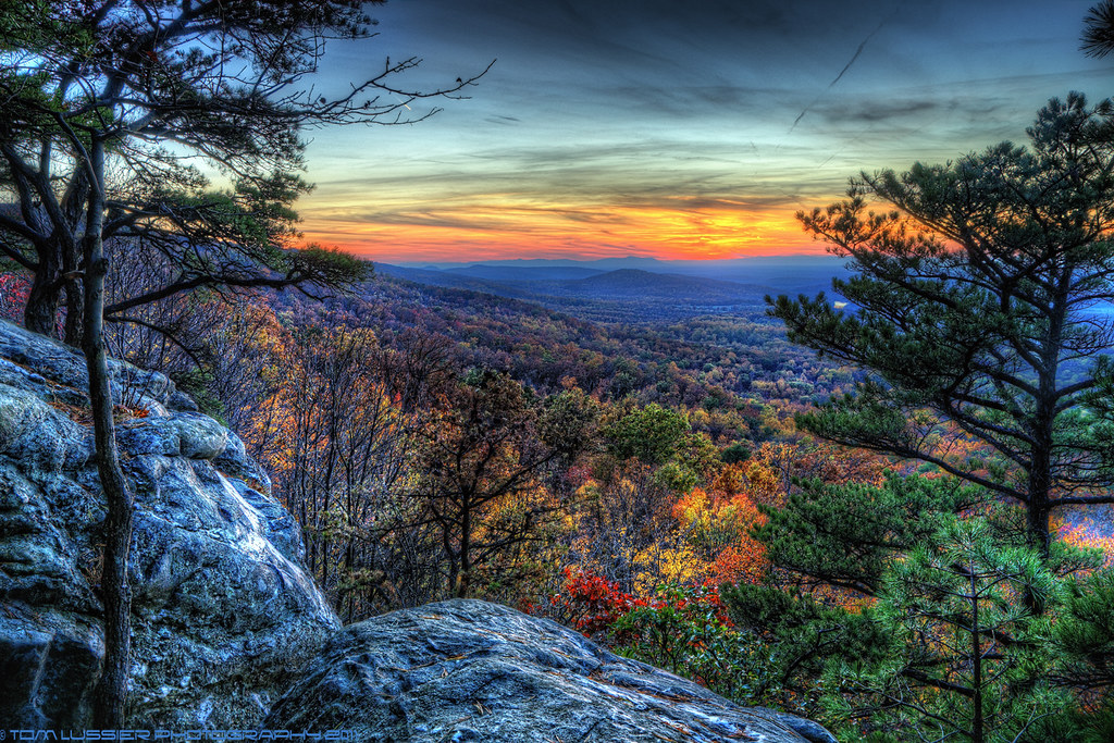
Bears Den Autumn Sunset ~Explore~
Passing Clouds
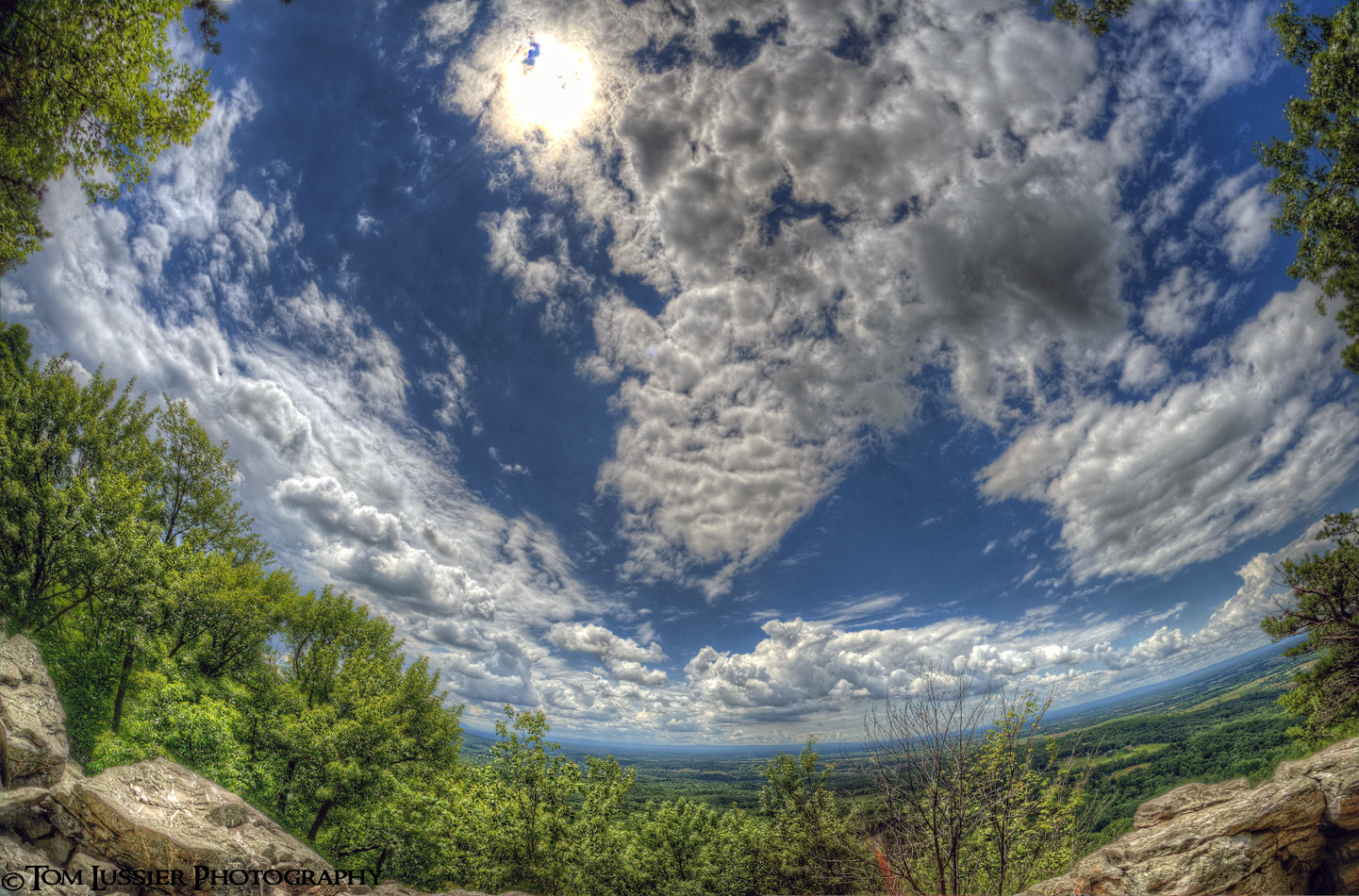
Race to the Sun
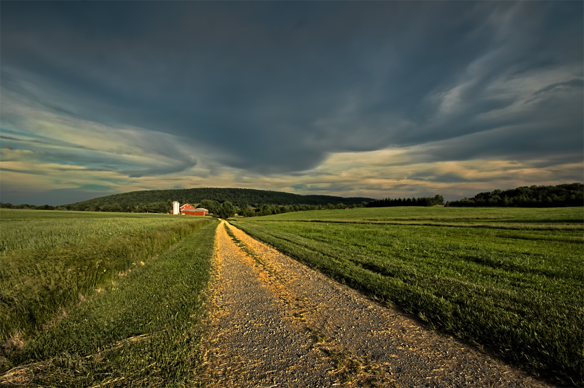
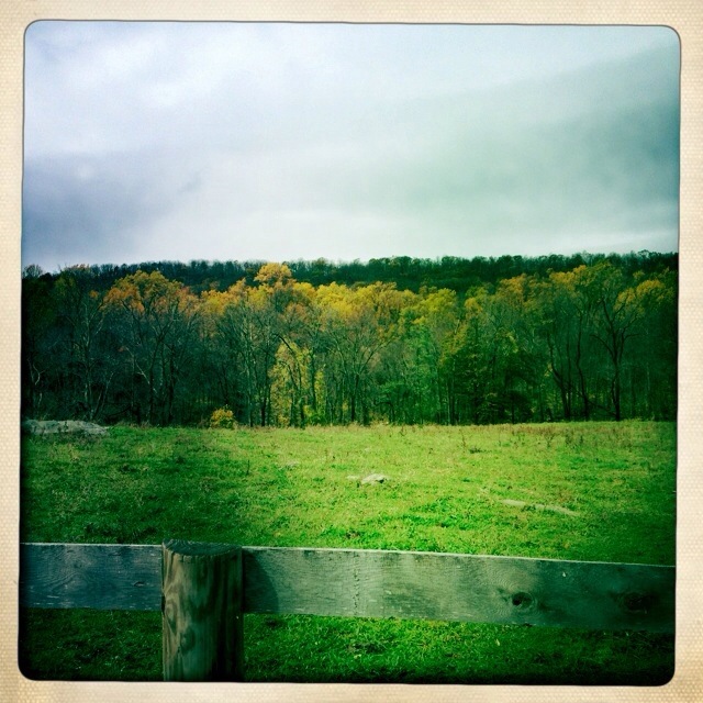
Bluemont Barn

Foxlease Farm, Upperville, VA
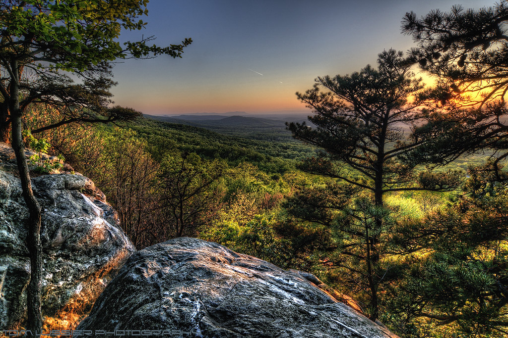
buzzard rocks
Absolutely lOving this view on our trip to Charlestown, WV! #charlestown #charlestwonwv #scenery @kesha_cook

Days End Reward
Hills for lunch.

Pond at Belle Grey Farm, Upperville, VA
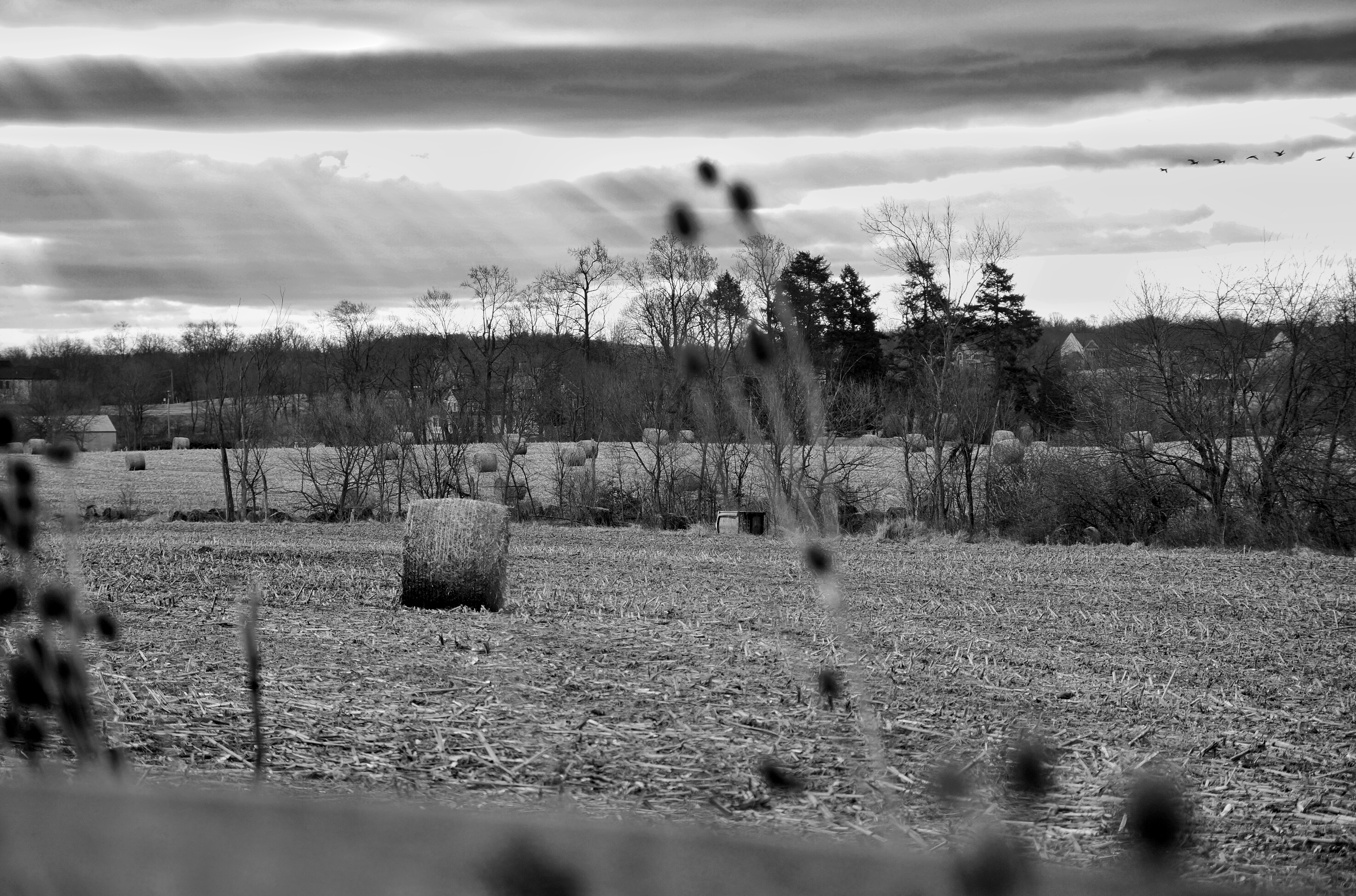
062/366 The return of winter

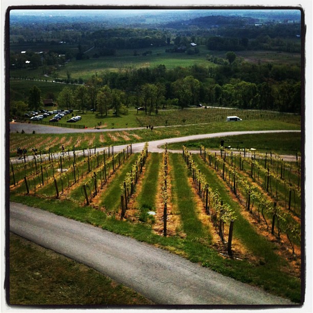
Hillborough Vineyard View
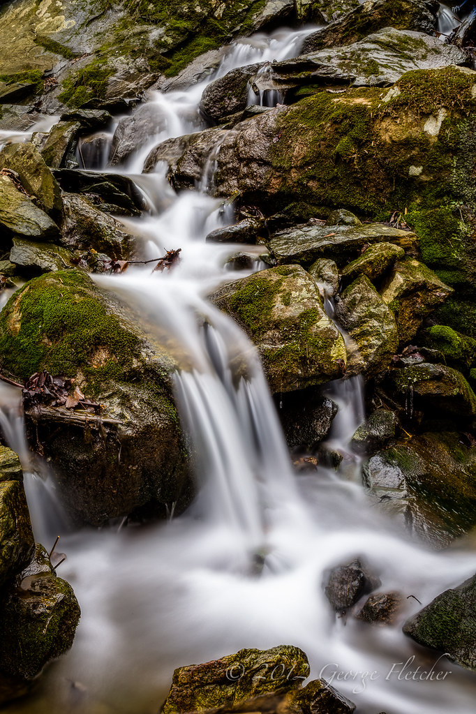
Hollow Brook

In between...
Summer Daze ~ Explore ~
Last bit of color

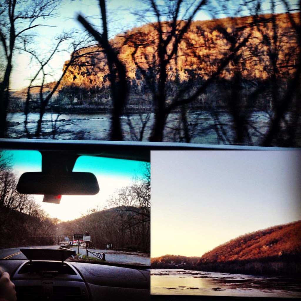
Sunset on the Shenandoah
Topographic Map of Balsam Ln, Bluemont, VA, USA
Find elevation by address:

Places near Balsam Ln, Bluemont, VA, USA:
112 Maple Ln
1400 Parker Ln
111 Honeysuckle Ln
18393 Blue Ridge Mountain Rd
Bears Den
443 Riverside Dr
Bear Chase Brewing Company
18393 Blue Ridge Mountain Rd
18393 Blue Ridge Mountain Rd
Raven Rocks Rd, Bluemont, VA, USA
19844 Blue Ridge Mountain Rd
17180 Sumney Way
Bluemont
33334 Heart Trouble Ln
16623 Tree Crops Ln
18755 Foggy Bottom Rd
18701 Foggy Bottom Rd
Buckmarsh
17110 Simmintal Ln
19304 Dodderidge Ct
Recent Searches:
- Elevation of Spaceport America, Co Rd A, Truth or Consequences, NM, USA
- Elevation of Warwick, RI, USA
- Elevation of Fern Rd, Whitmore, CA, USA
- Elevation of 62 Abbey St, Marshfield, MA, USA
- Elevation of Fernwood, Bradenton, FL, USA
- Elevation of Felindre, Swansea SA5 7LU, UK
- Elevation of Leyte Industrial Development Estate, Isabel, Leyte, Philippines
- Elevation of W Granada St, Tampa, FL, USA
- Elevation of Pykes Down, Ivybridge PL21 0BY, UK
- Elevation of Jalan Senandin, Lutong, Miri, Sarawak, Malaysia