Elevation of Baileys Wharf Rd, Gloucester Courthouse, VA, USA
Location: United States > Virginia > Gloucester County > Abingdon > Gloucester Courthouse >
Longitude: -76.487675
Latitude: 37.388345
Elevation: 4m / 13feet
Barometric Pressure: 101KPa
Elevation Map:
Satellite Map:
Related Photos:
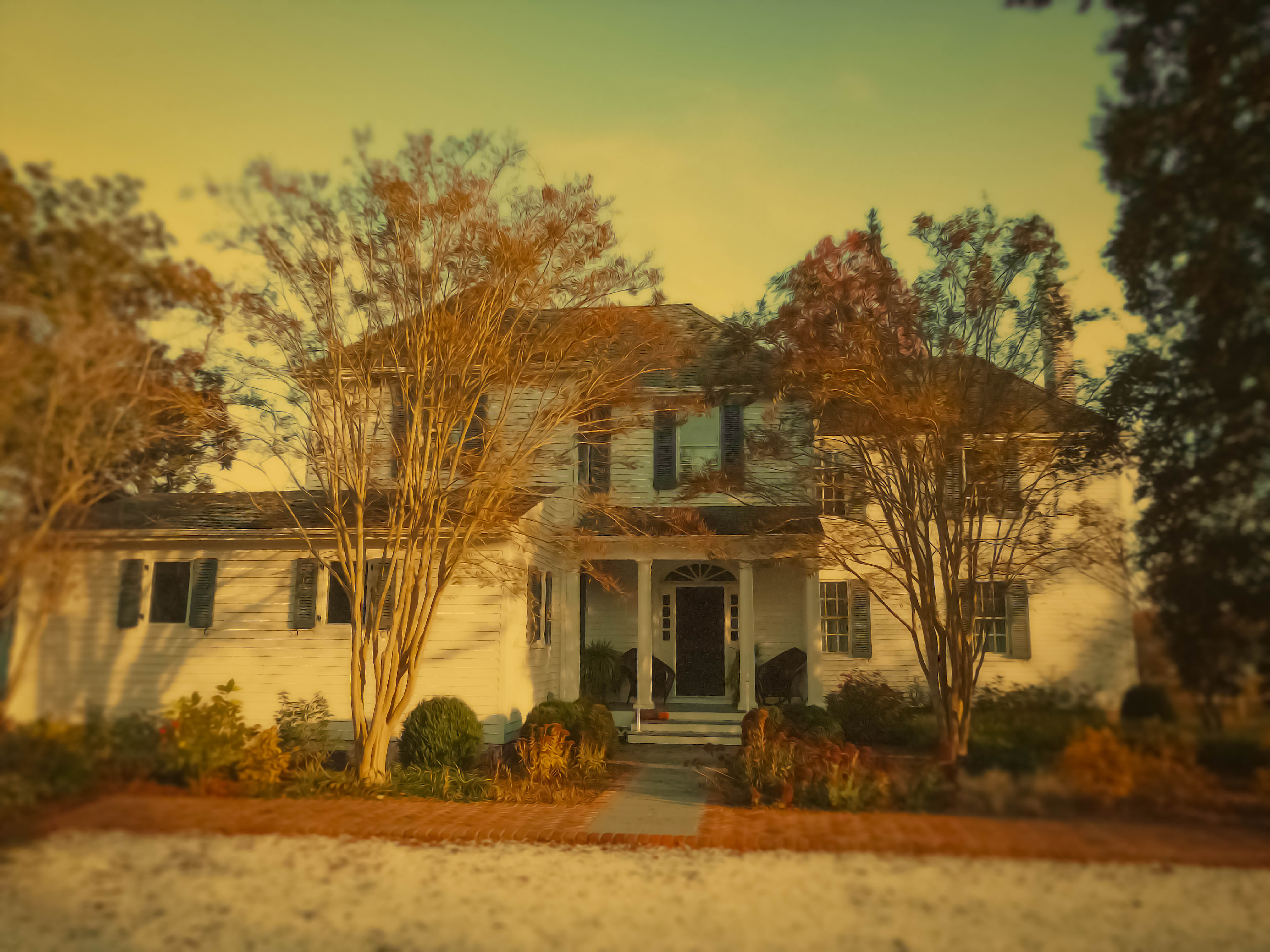
West Front, Windrift, Gloucester

Rotting Kandi (pun intended)!

The Yellow Store
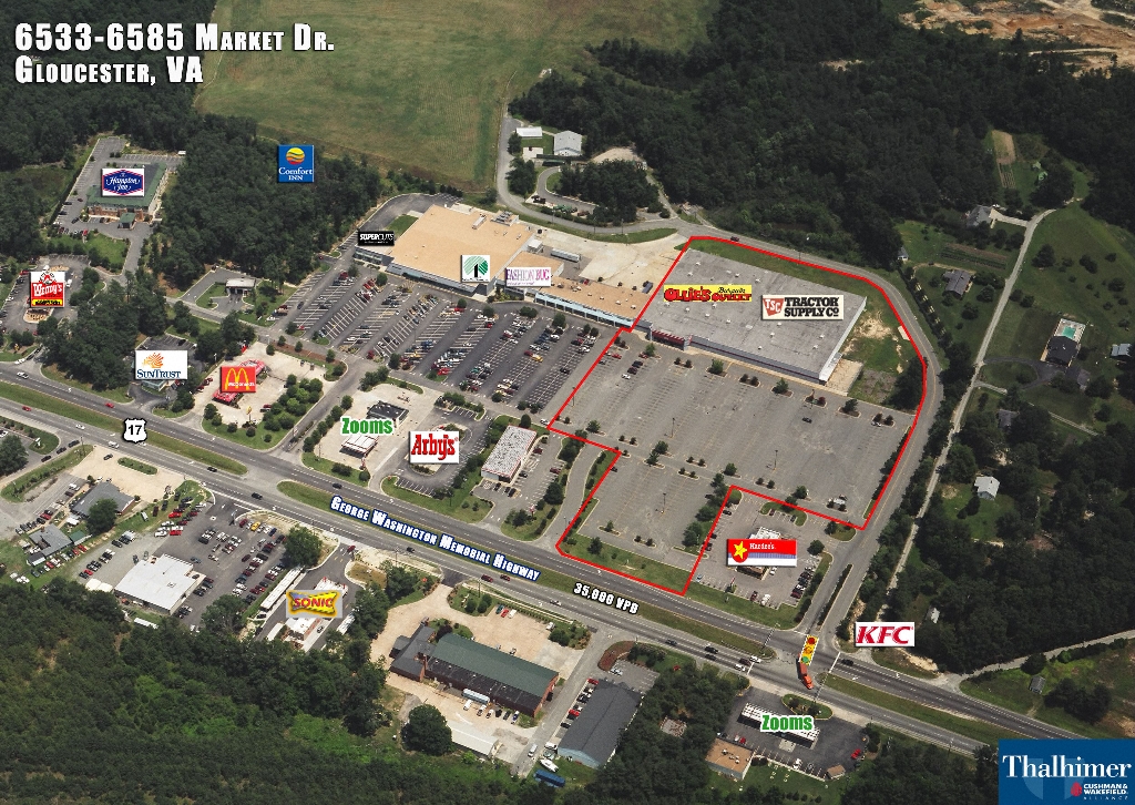
Yet another Shoppes at Gloucester helicopter view
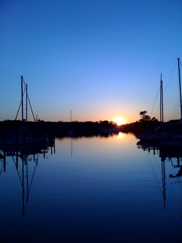
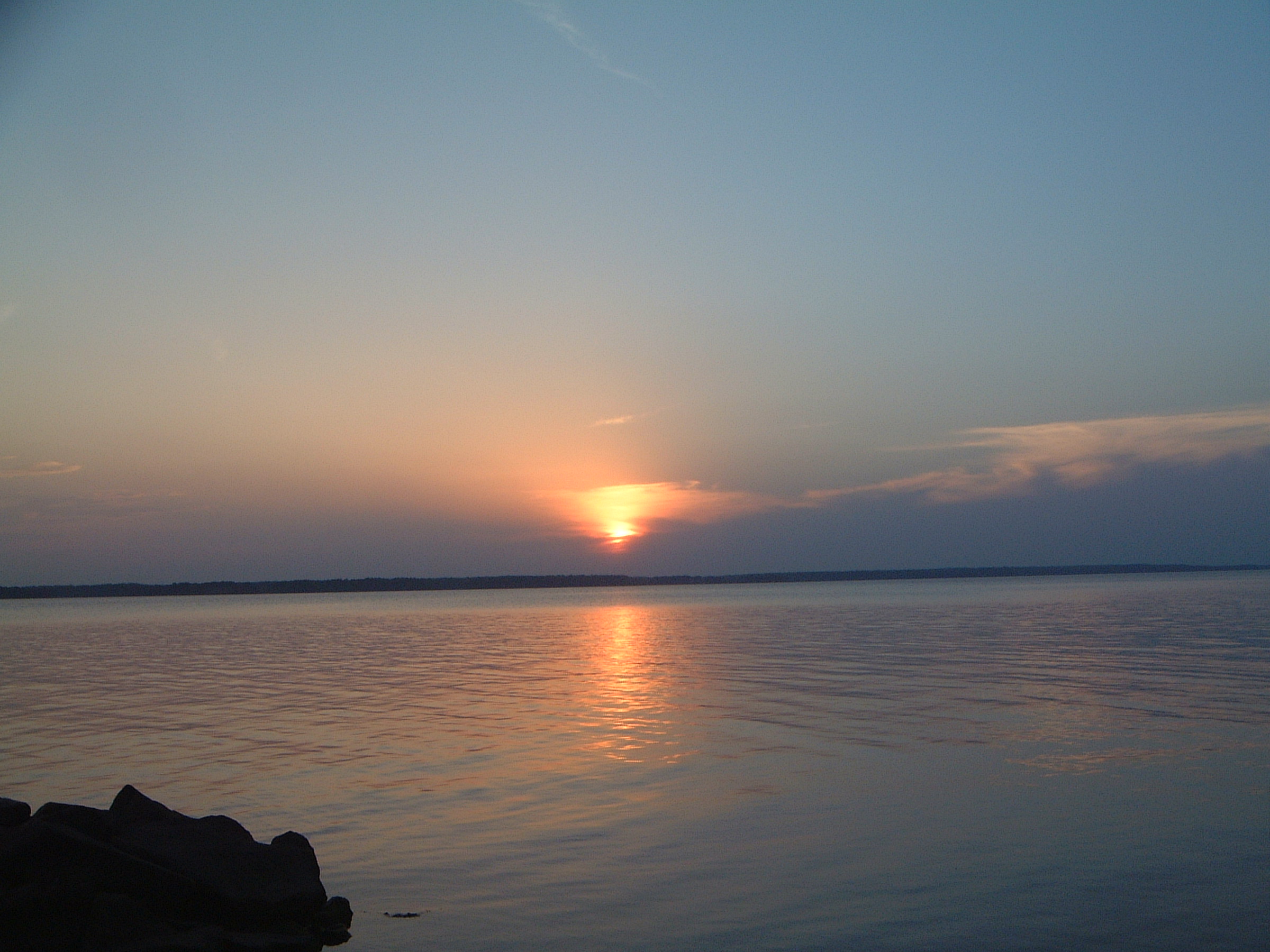
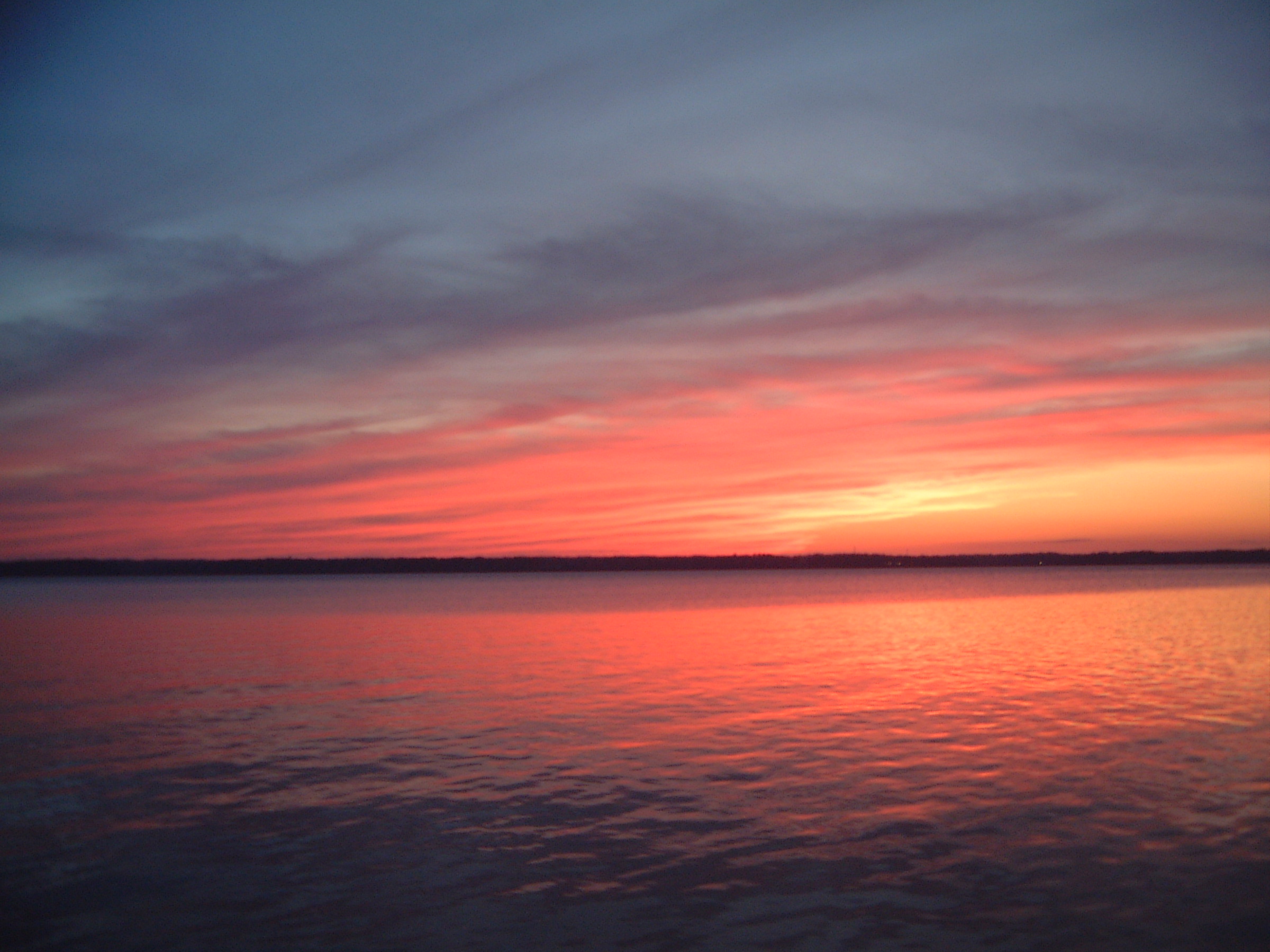
Liveaboard Sunset
High View
Low View

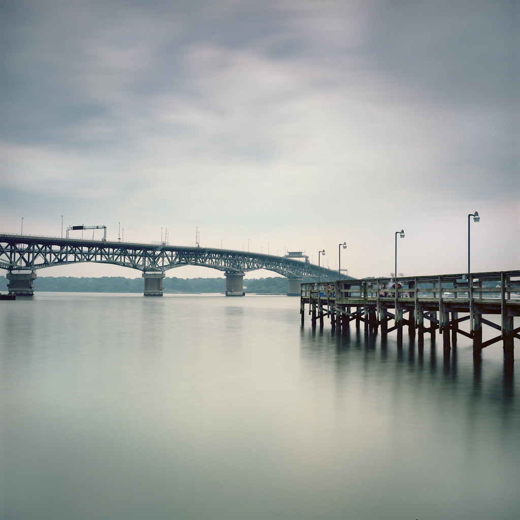
View of Yorktown from Gloucester Point

Grandparents View
Andrews Hall Water Side
Gale House
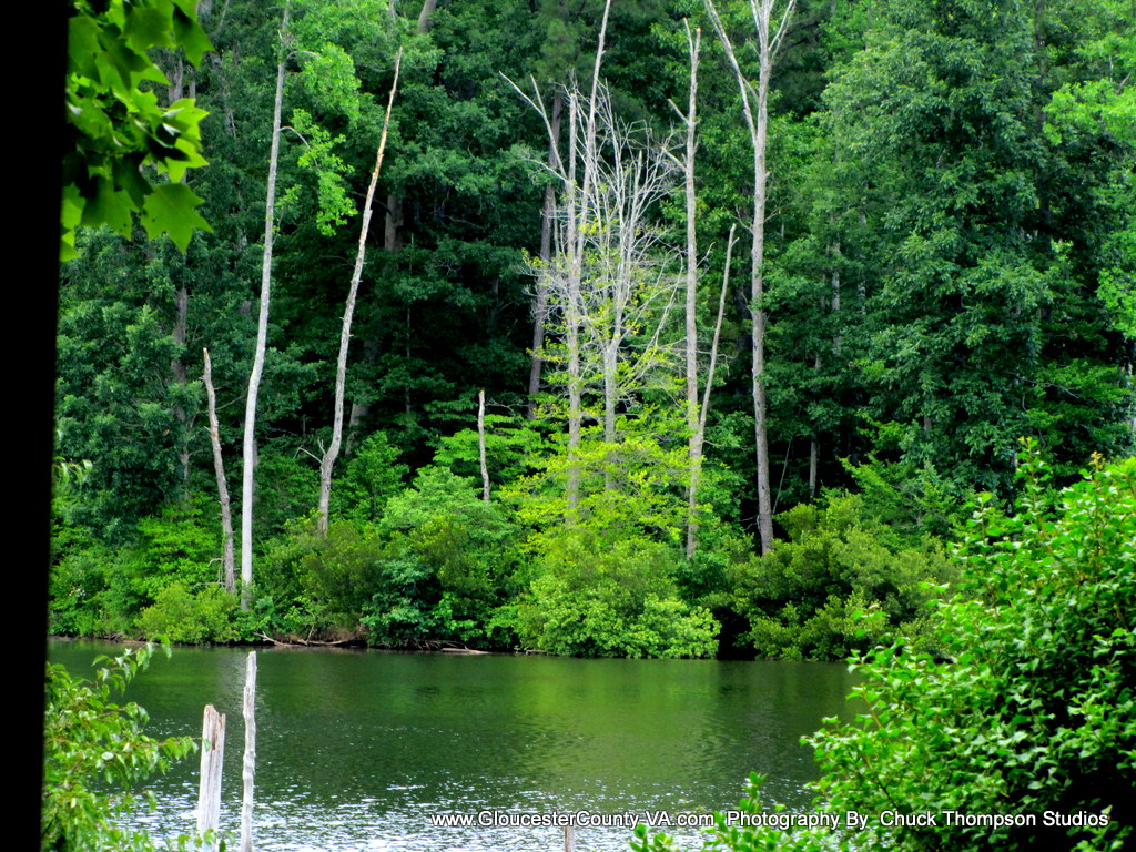
York River
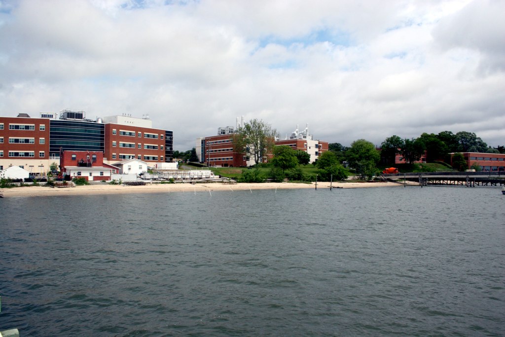
VIMS Campus
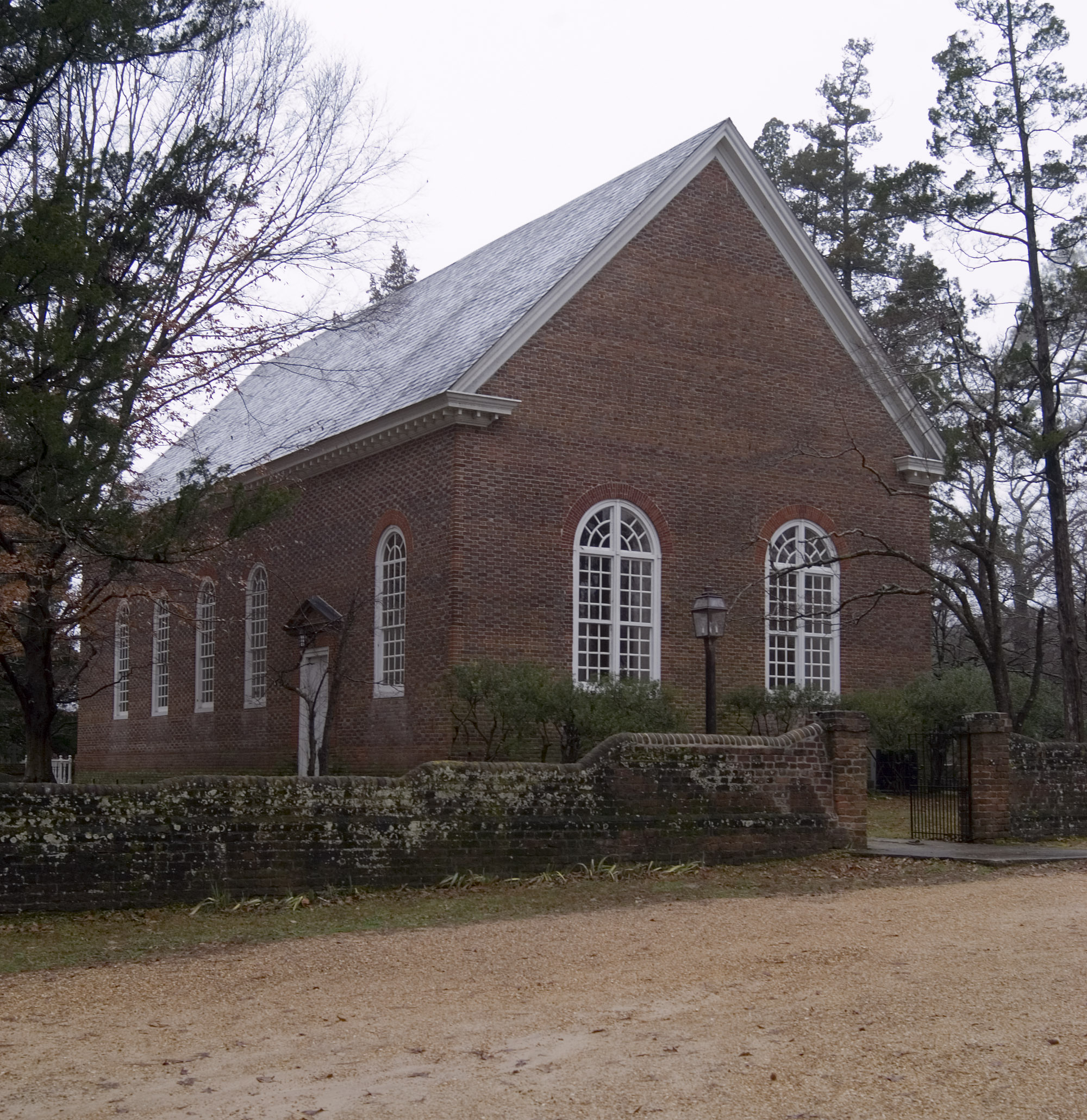
Ware Church, Gloucester County
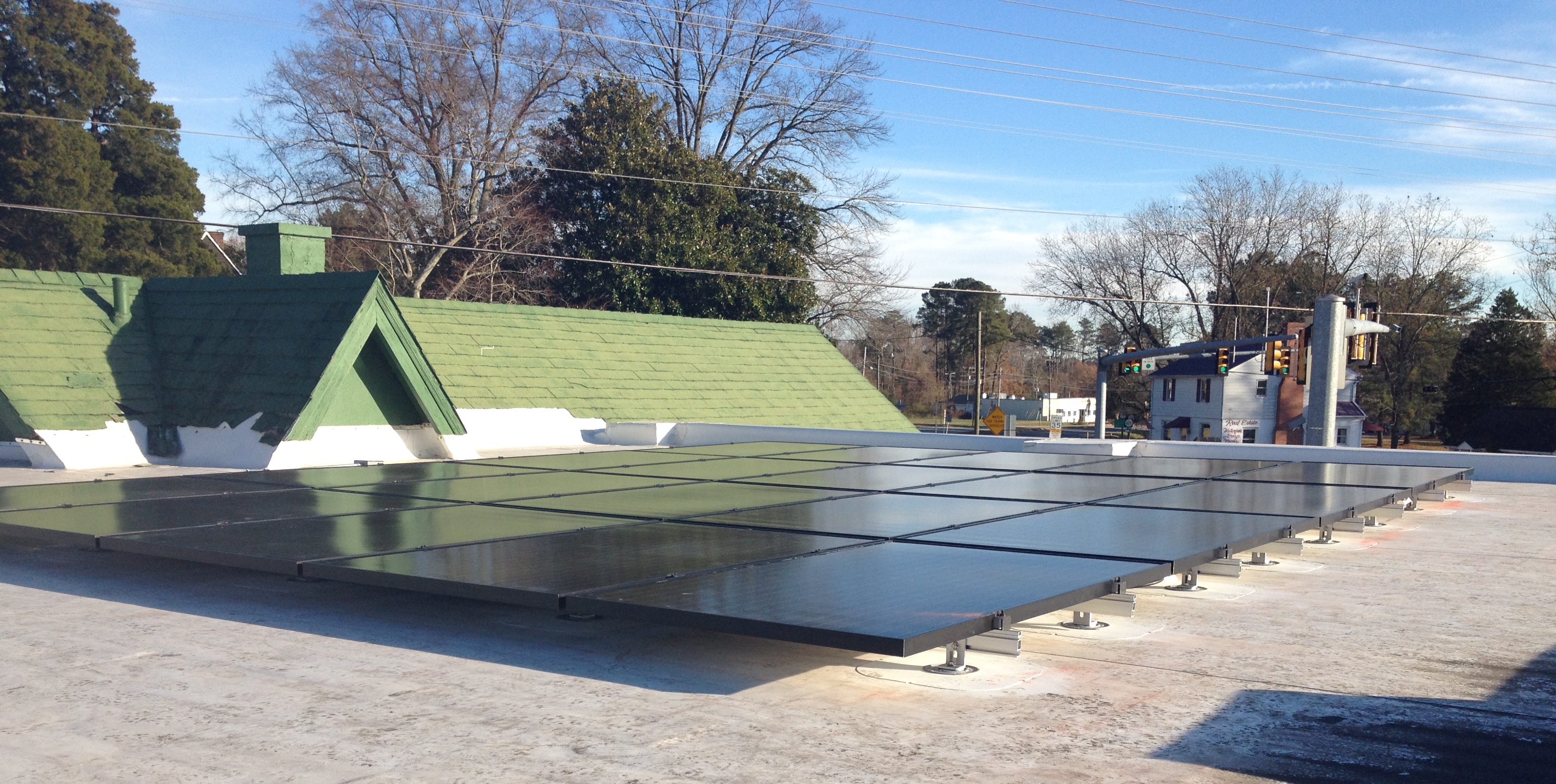
Here they are, for your viewing pleasure - solar panels installed on the roof of the CAPE!
Gale House
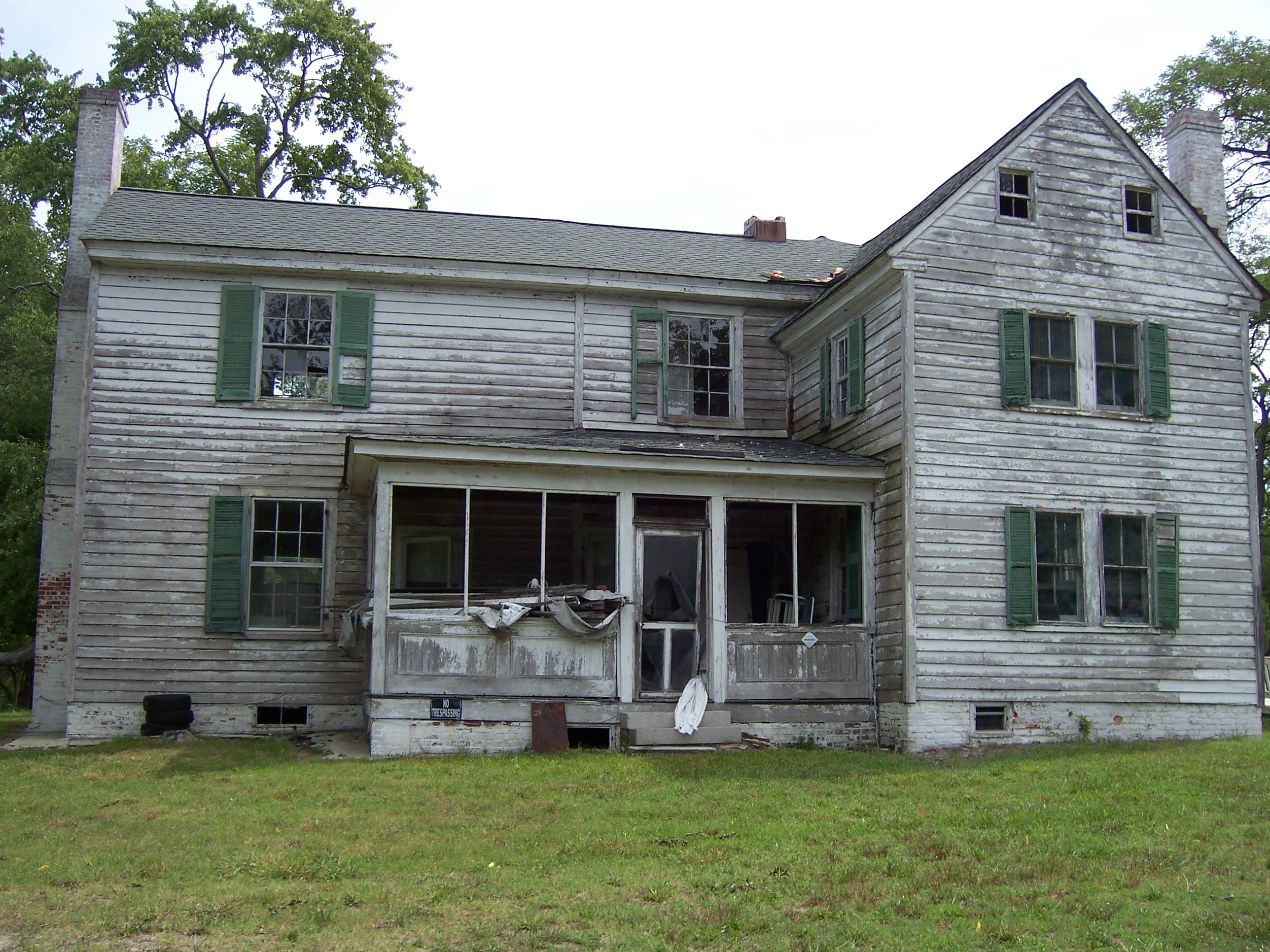
the old Hinkle place
2009-11-20_1802

Green Screen
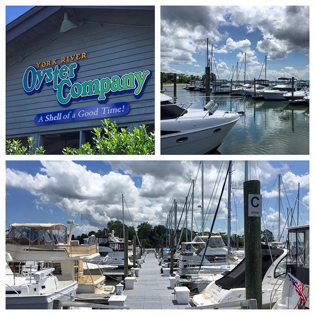
Lunch today at the York River Oyster Company with a great view of all the boats at the York River Yacht Club.
Neighborhood 028

Under the Bridge

The Parkway.

Neighborhood 012
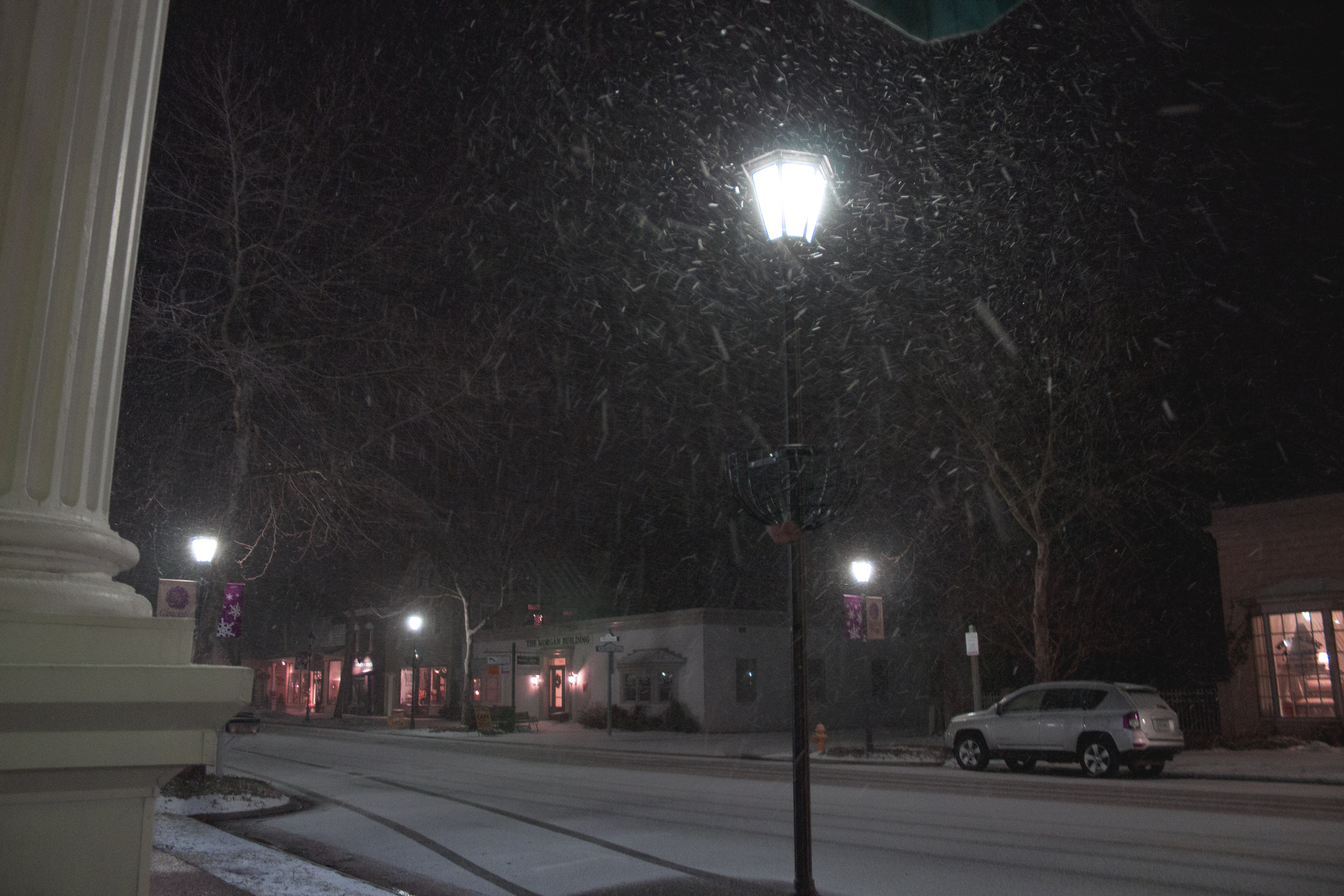
It's a winter wonderland!
Rocky Path
#guinea #fishing #4x4 #chevy #bringthekids
Severn River Marina
Beaver Dam Park
Snowfall stasis

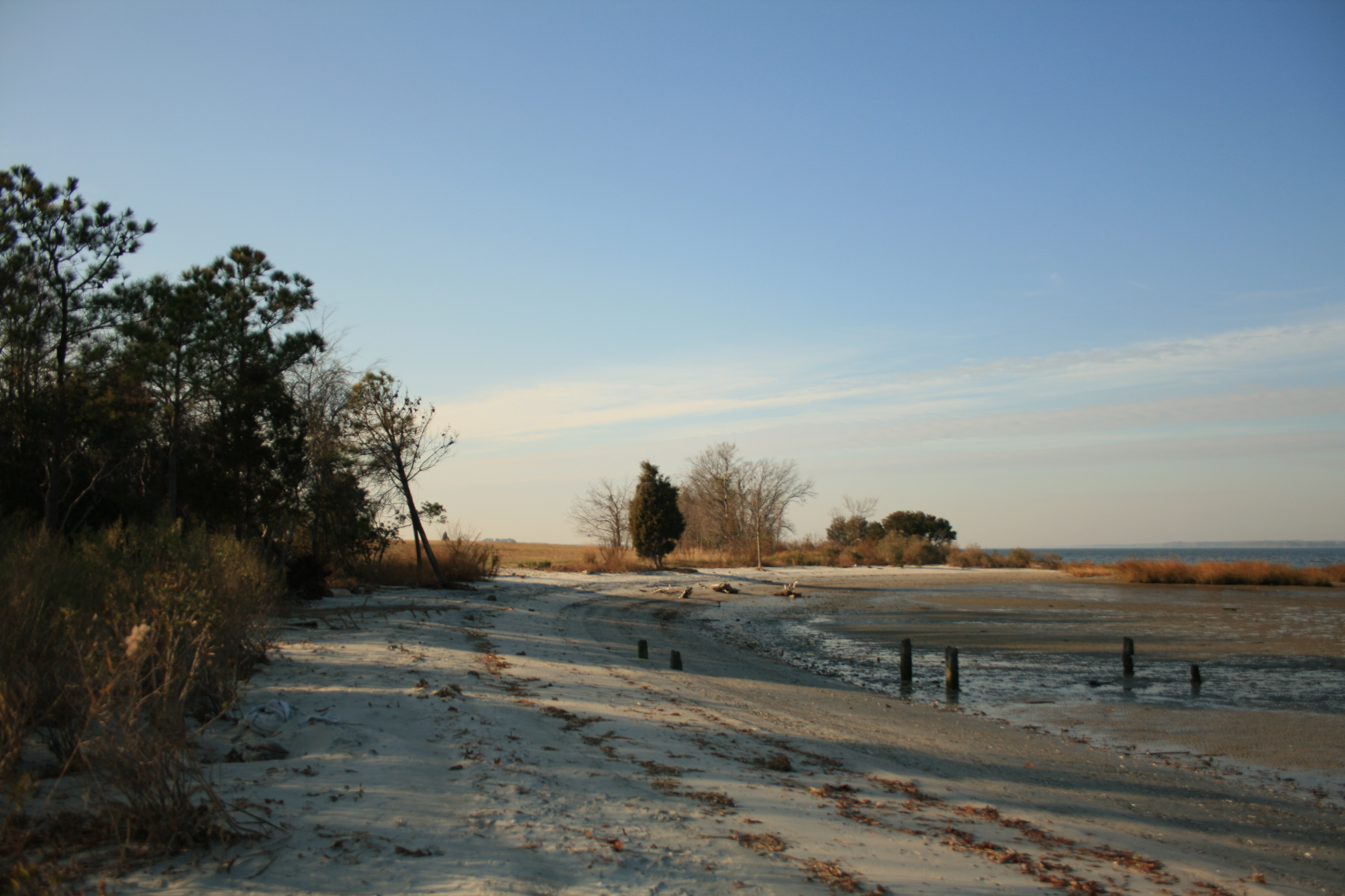
To the beach we go
Sunsets 028

Crab pots on pier, Tangier Island

Shanties and harbor, Tangier Island
gloucester point, va

Foliage Greets the Sun
Had a great time adventuring Colonial...
Lost in the fields
Grass Nod

VIMS Living Shoreline
Topographic Map of Baileys Wharf Rd, Gloucester Courthouse, VA, USA
Find elevation by address:

Places near Baileys Wharf Rd, Gloucester Courthouse, VA, USA:
Glen Roy Ln, Gloucester Courthouse, VA, USA
7336 Wellford Ln
Baileys Wharf Rd, Gloucester Courthouse, VA, USA
Gloucester County
Gloucester Courthouse, VA, USA
Crutchman Truck Caps Buildings
8482 Robins Neck Rd
Abingdon
Ware
6688 Main St
Gloucester Courthouse
Indian Road
4790 Warner Hall Rd
7132 Preston Ct
5607 Patricia Pl
Chapel Neck Road
Glass Road
51 Bayshore Ave
Whittaker Dr, Gloucester Courthouse, VA, USA
Hickory Fork Rd, Gloucester Courthouse, VA, USA
Recent Searches:
- Elevation of Corso Fratelli Cairoli, 35, Macerata MC, Italy
- Elevation of Tallevast Rd, Sarasota, FL, USA
- Elevation of 4th St E, Sonoma, CA, USA
- Elevation of Black Hollow Rd, Pennsdale, PA, USA
- Elevation of Oakland Ave, Williamsport, PA, USA
- Elevation of Pedrógão Grande, Portugal
- Elevation of Klee Dr, Martinsburg, WV, USA
- Elevation of Via Roma, Pieranica CR, Italy
- Elevation of Tavkvetili Mountain, Georgia
- Elevation of Hartfords Bluff Cir, Mt Pleasant, SC, USA