Elevation of Aztec Peak, Arizona, USA
Location: United States > Arizona > Gila County > Young >
Longitude: -110.90539
Latitude: 33.8122702
Elevation: 2341m / 7680feet
Barometric Pressure: 76KPa
Elevation Map:
Satellite Map:
Related Photos:
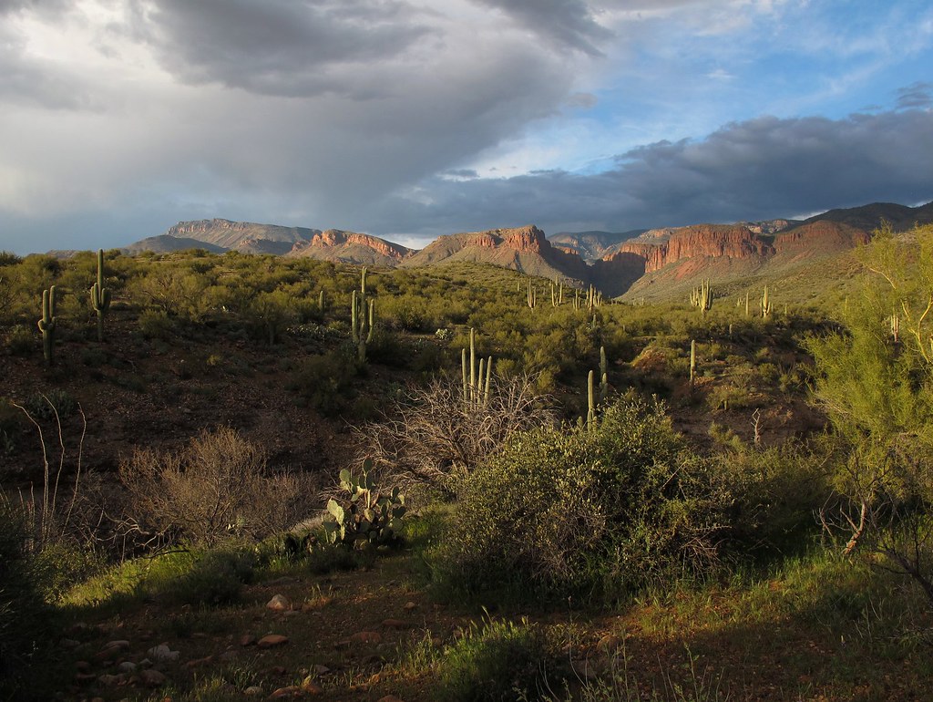
Desert Beauty
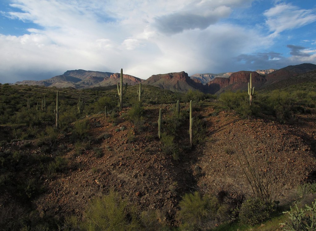
Out in the Wild
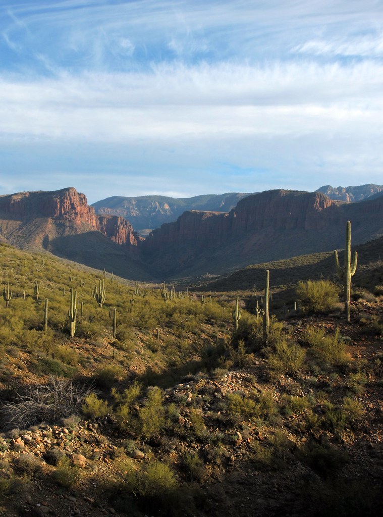
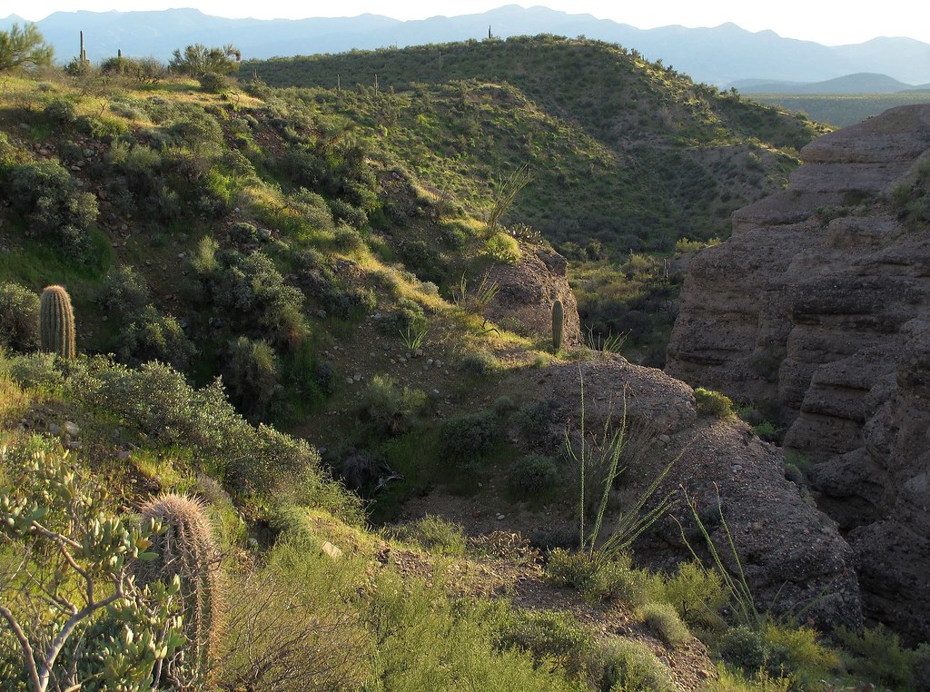
Desert Canyon Vista

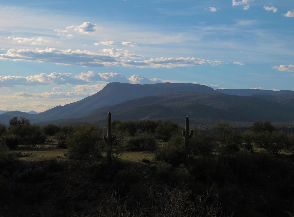
Tonto Basin Outback
Desert Vision
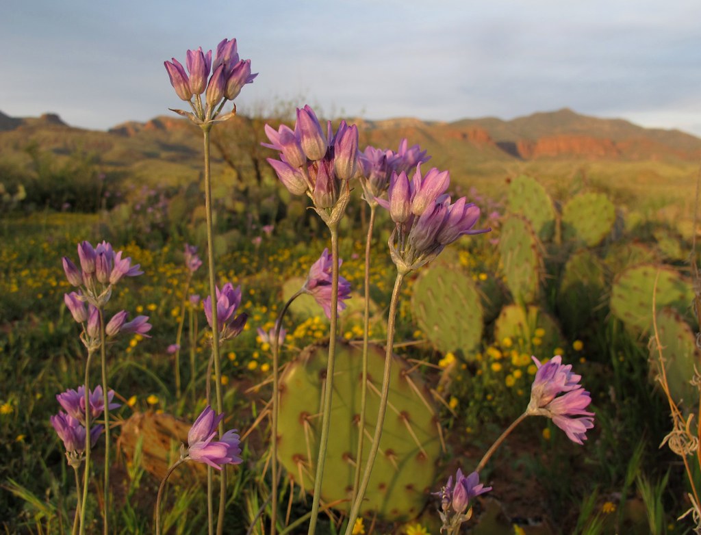
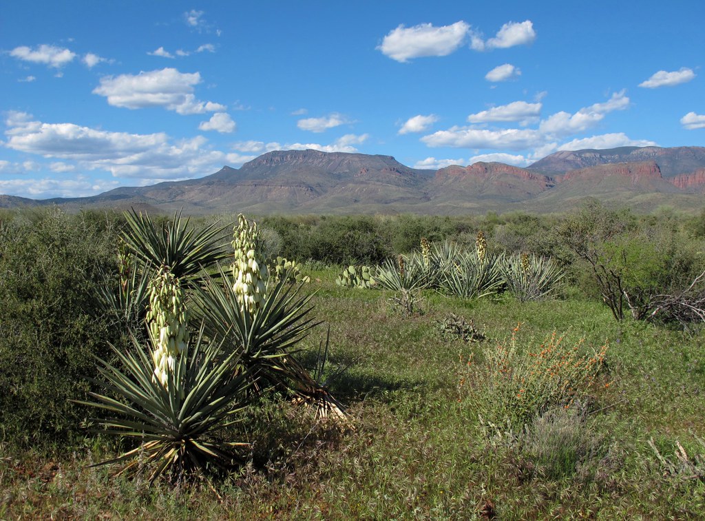
Blooming Desert
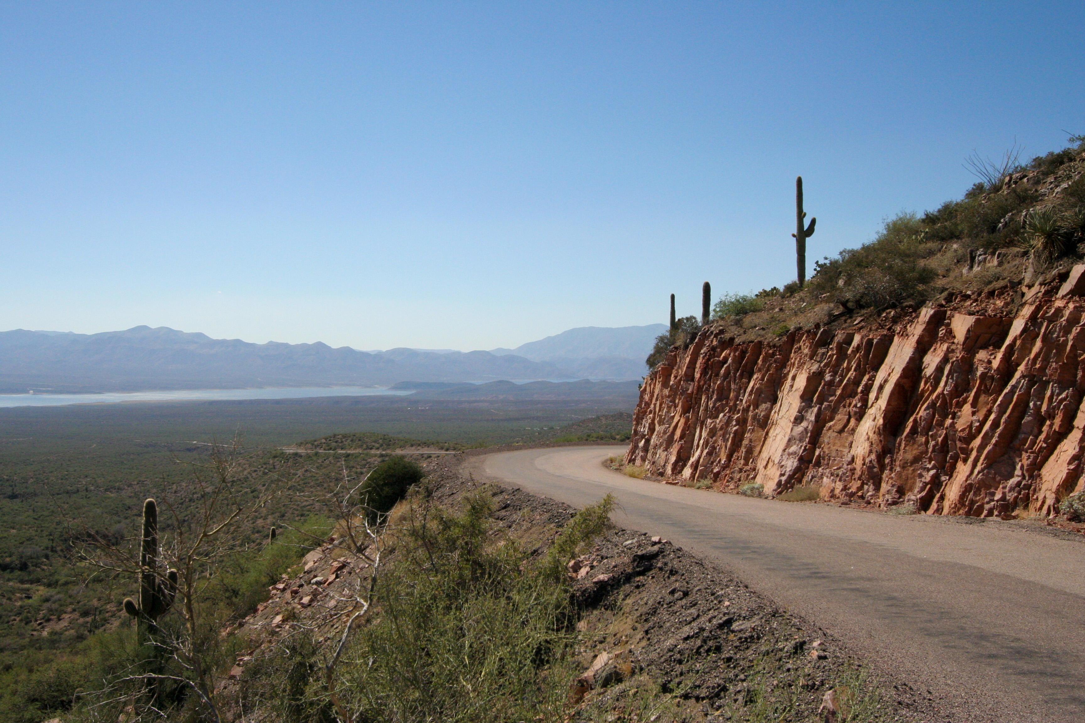
The Long Road Home
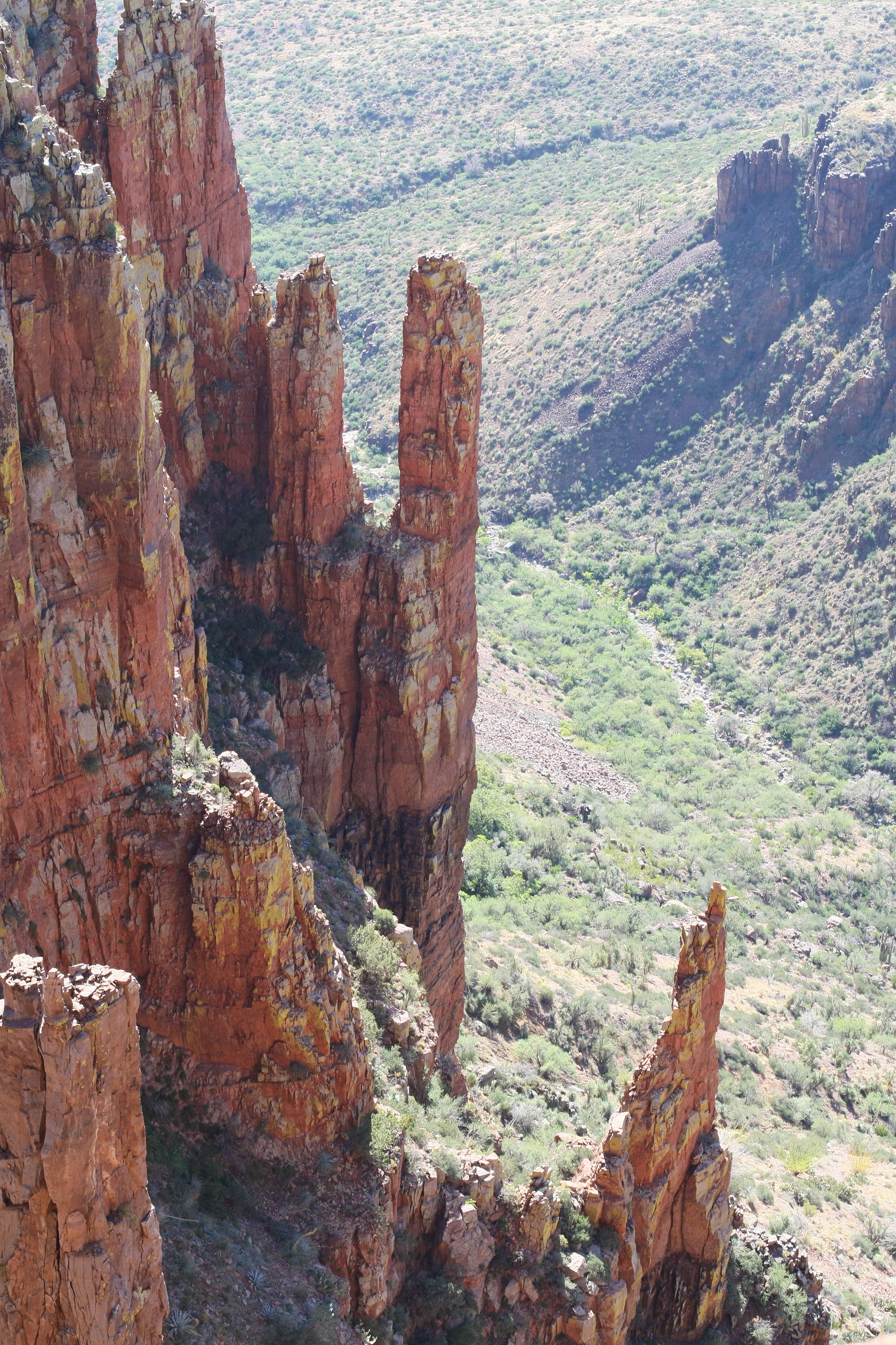
Spires 1
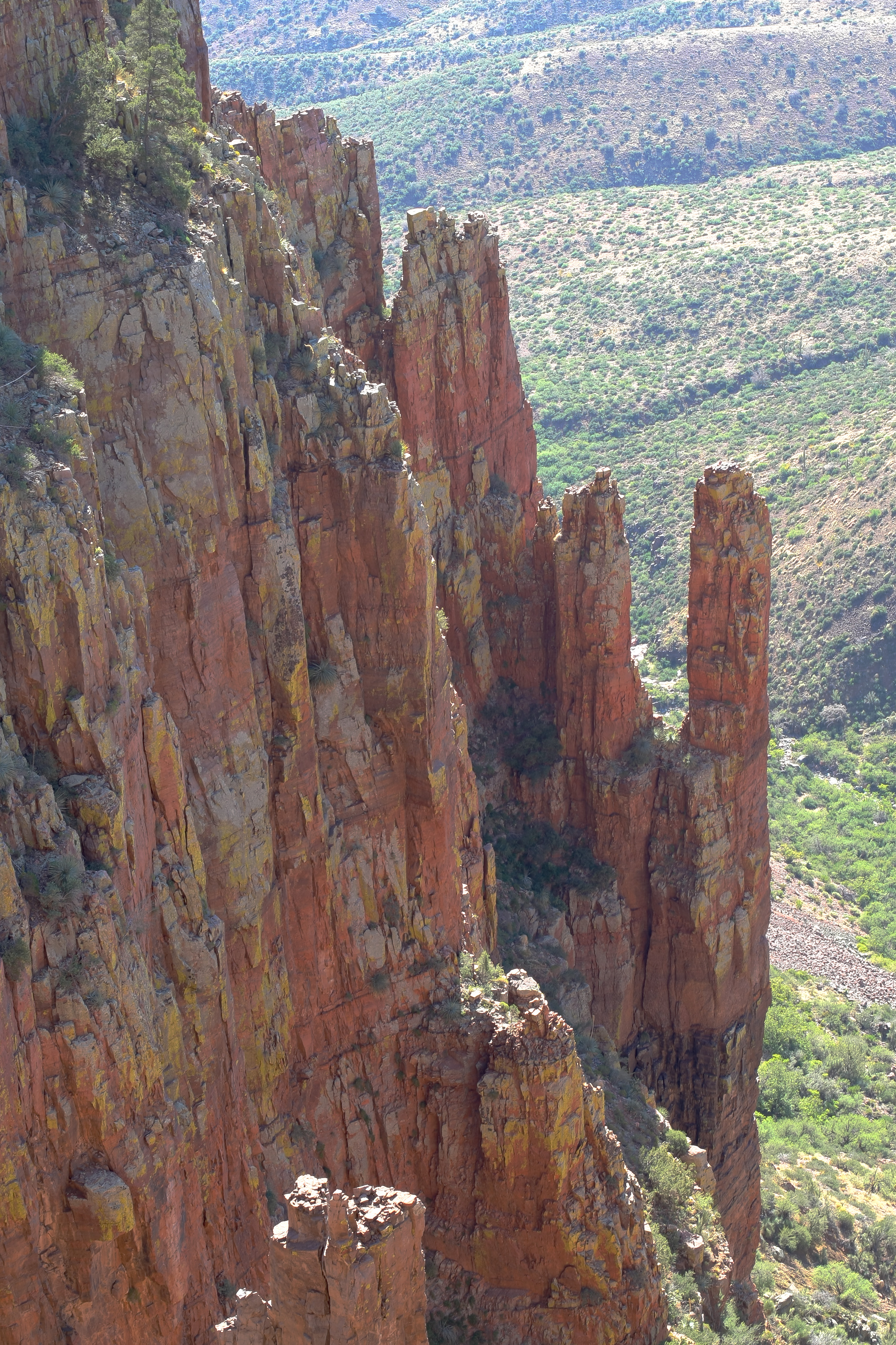
Spires 2
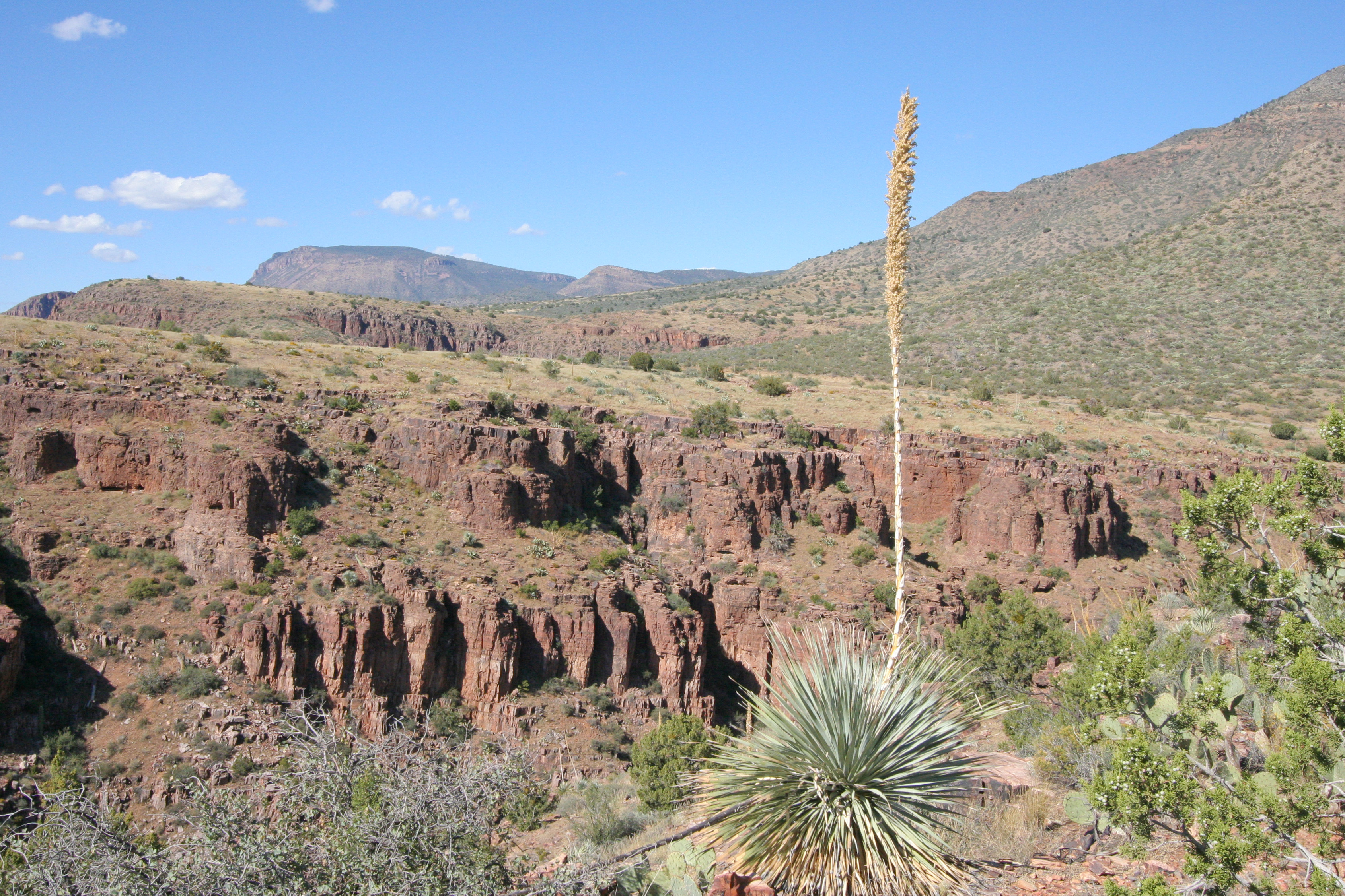
Century Plant
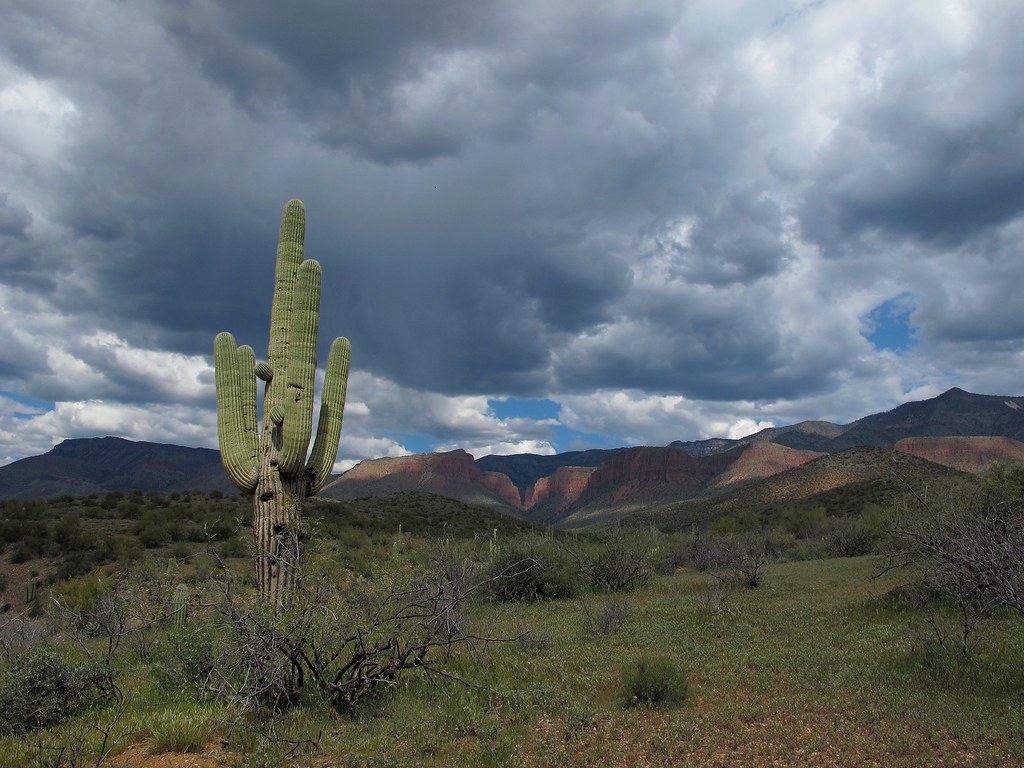
Storms Brewing
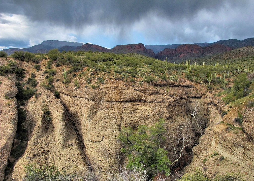
Rain on the Sierra Ancha
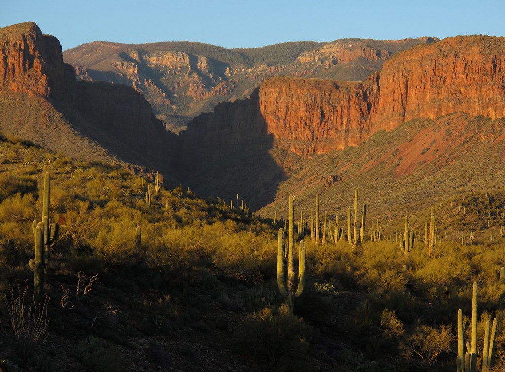
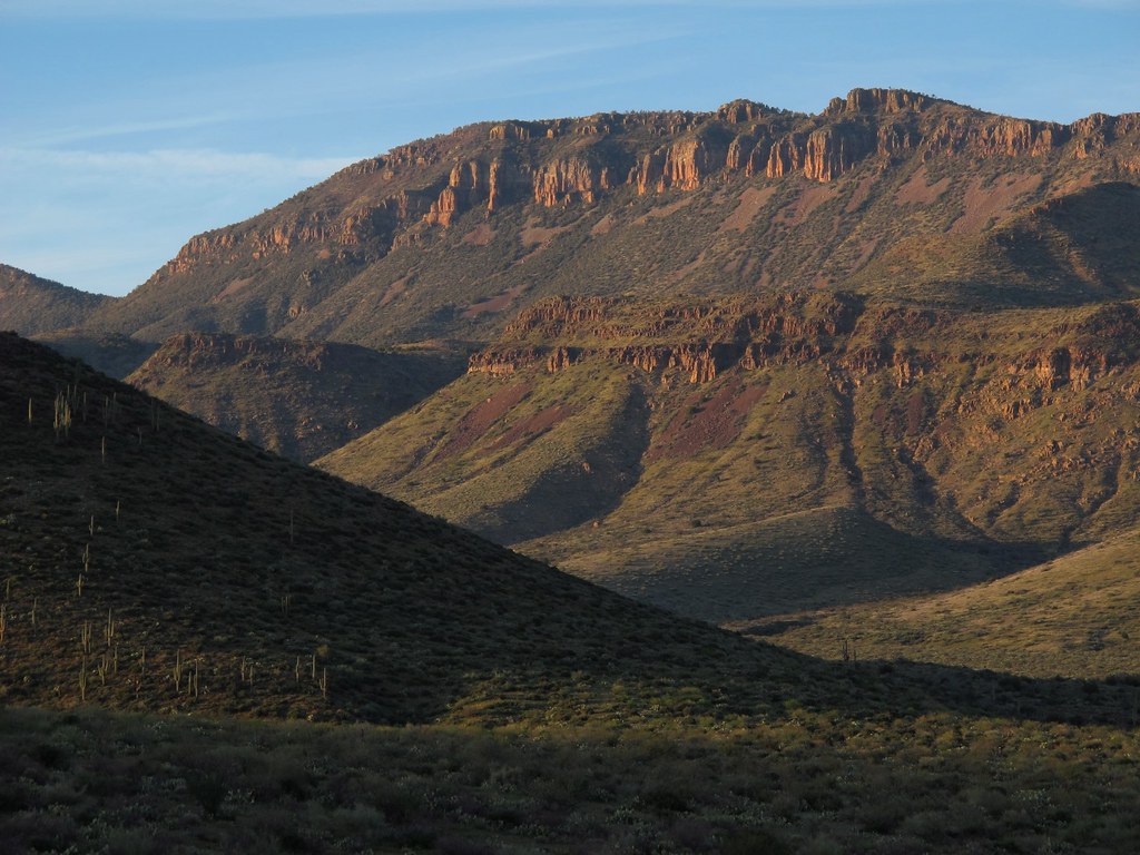
Sunset on the Cliffs
Green and Gold

Desertscape Supreme
Scenic Southwest
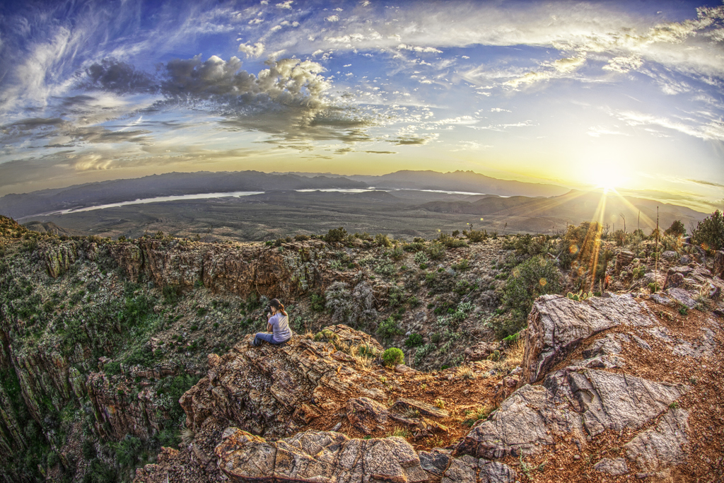
Sierra Ancha Sunset View in HDR
Wild and Rugged Terrain
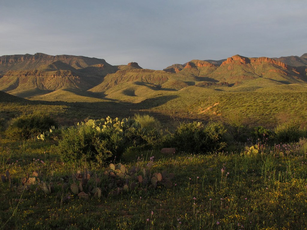
Spring Evening Vista
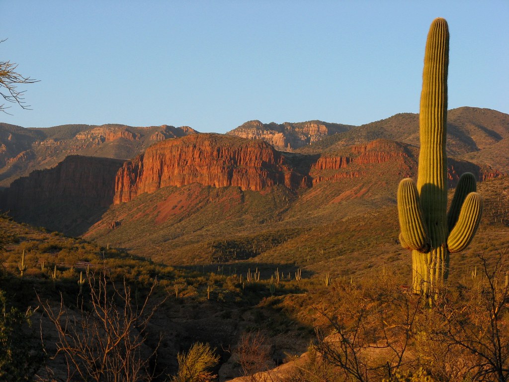
Sierra Ancha

Sierra Anchas Sunset
Topographic Map of Aztec Peak, Arizona, USA
Find elevation by address:

Places near Aztec Peak, Arizona, USA:
Sierra Ancha Experimental Forest
Young
Arizona
544 Tewksbury Blvd
Haigler Creek
E Raccoon Dr, Payson, AZ, USA
East Ranch Road
Willow Springs Lake
1376 S Hunter Creek Dr
163 Wild Rose Dr
Wild Cat Circle
Mogollon Rim
Christopher Creek Loop, Payson, AZ, USA
109 W Wild Cougar Way
Canyon Point Campground
374 See Canyon Dr
Woods Canyon Lake
510 Trout Springs Rd
818 Wildcat Rd
818 Wildcat Rd
Recent Searches:
- Elevation of Corso Fratelli Cairoli, 35, Macerata MC, Italy
- Elevation of Tallevast Rd, Sarasota, FL, USA
- Elevation of 4th St E, Sonoma, CA, USA
- Elevation of Black Hollow Rd, Pennsdale, PA, USA
- Elevation of Oakland Ave, Williamsport, PA, USA
- Elevation of Pedrógão Grande, Portugal
- Elevation of Klee Dr, Martinsburg, WV, USA
- Elevation of Via Roma, Pieranica CR, Italy
- Elevation of Tavkvetili Mountain, Georgia
- Elevation of Hartfords Bluff Cir, Mt Pleasant, SC, USA