Elevation of Tewksbury Blvd, Young, AZ, USA
Location: United States > Arizona > Gila County > Young >
Longitude: -110.96118
Latitude: 34.1101044
Elevation: 1598m / 5243feet
Barometric Pressure: 84KPa
Elevation Map:
Satellite Map:
Related Photos:
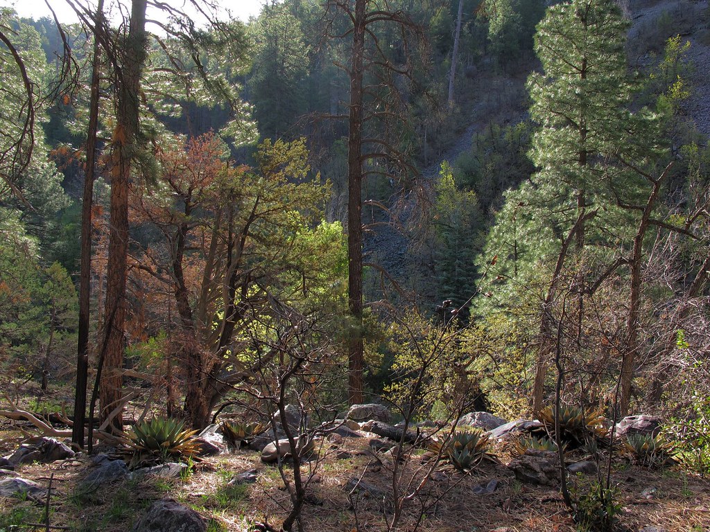
Fire Scar
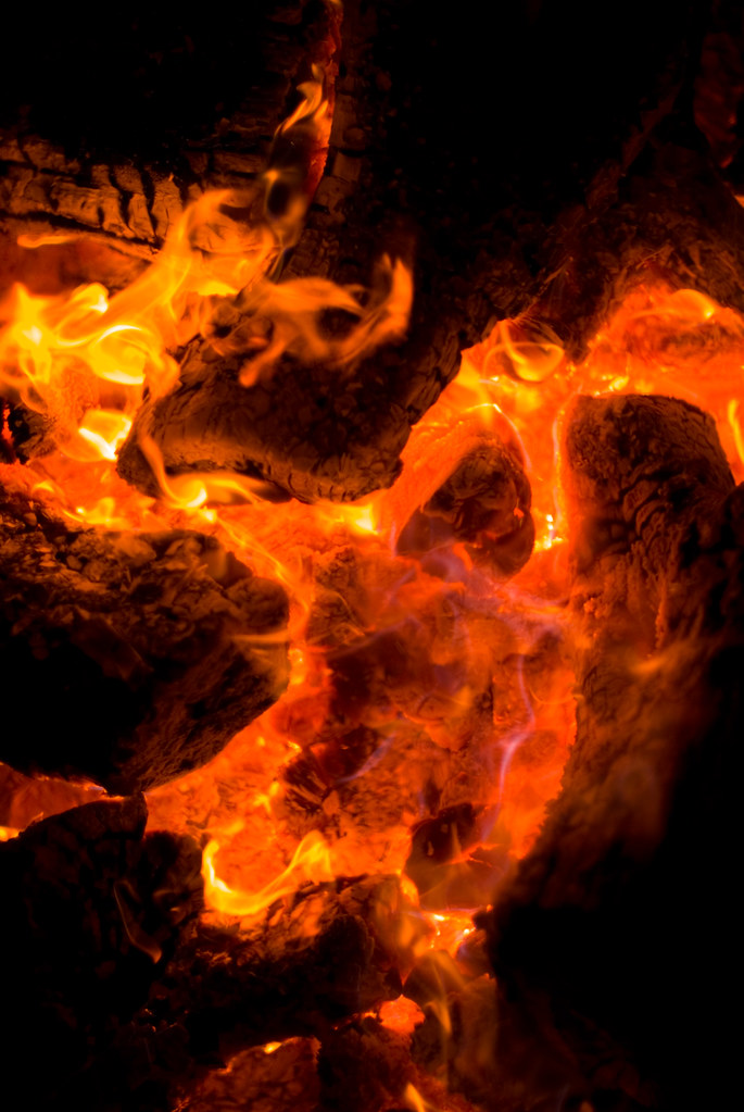
Flame Red

Flame Red (2)
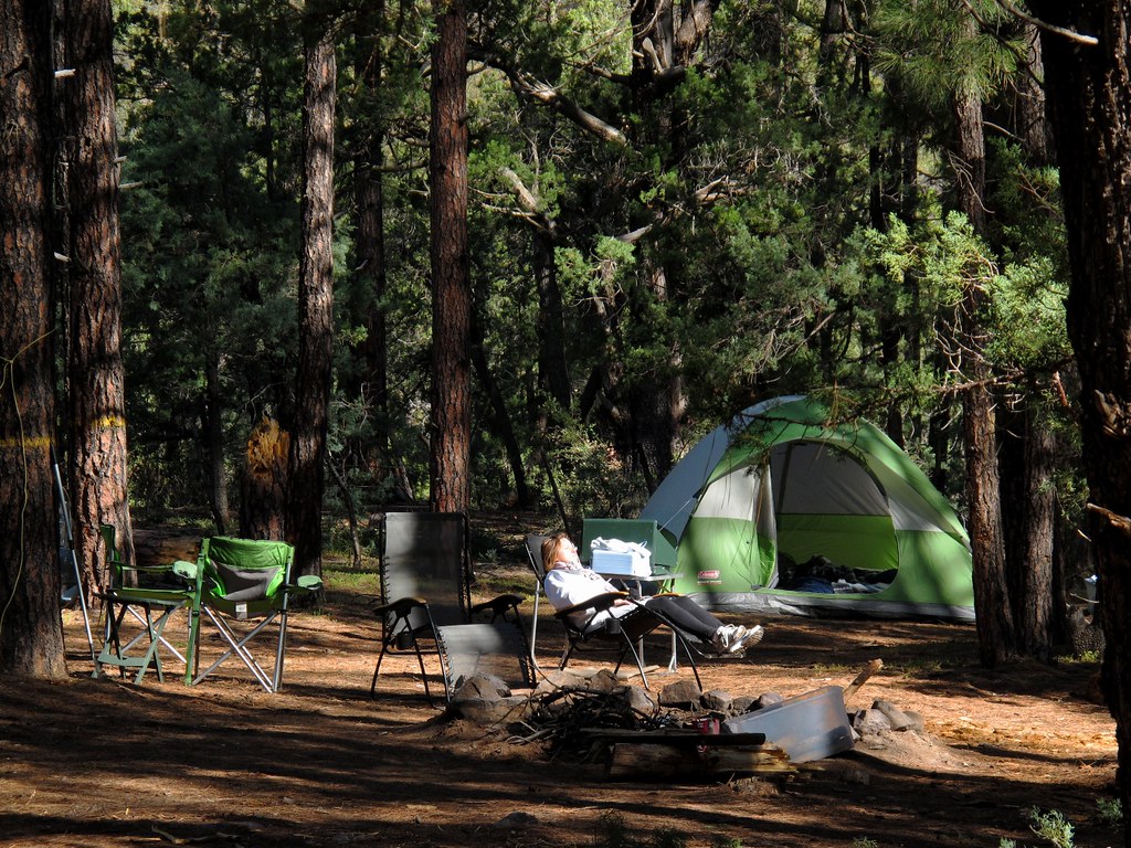
Relax to the Max
Gordon Canyon
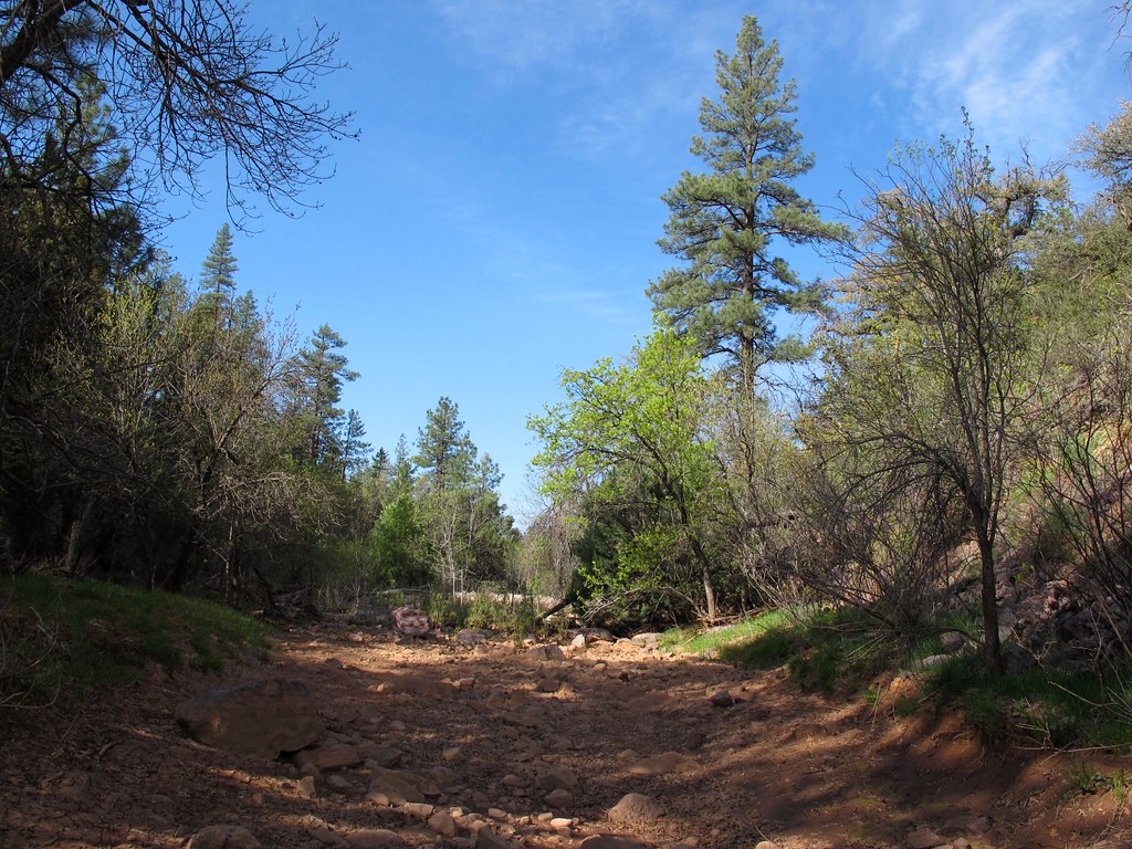
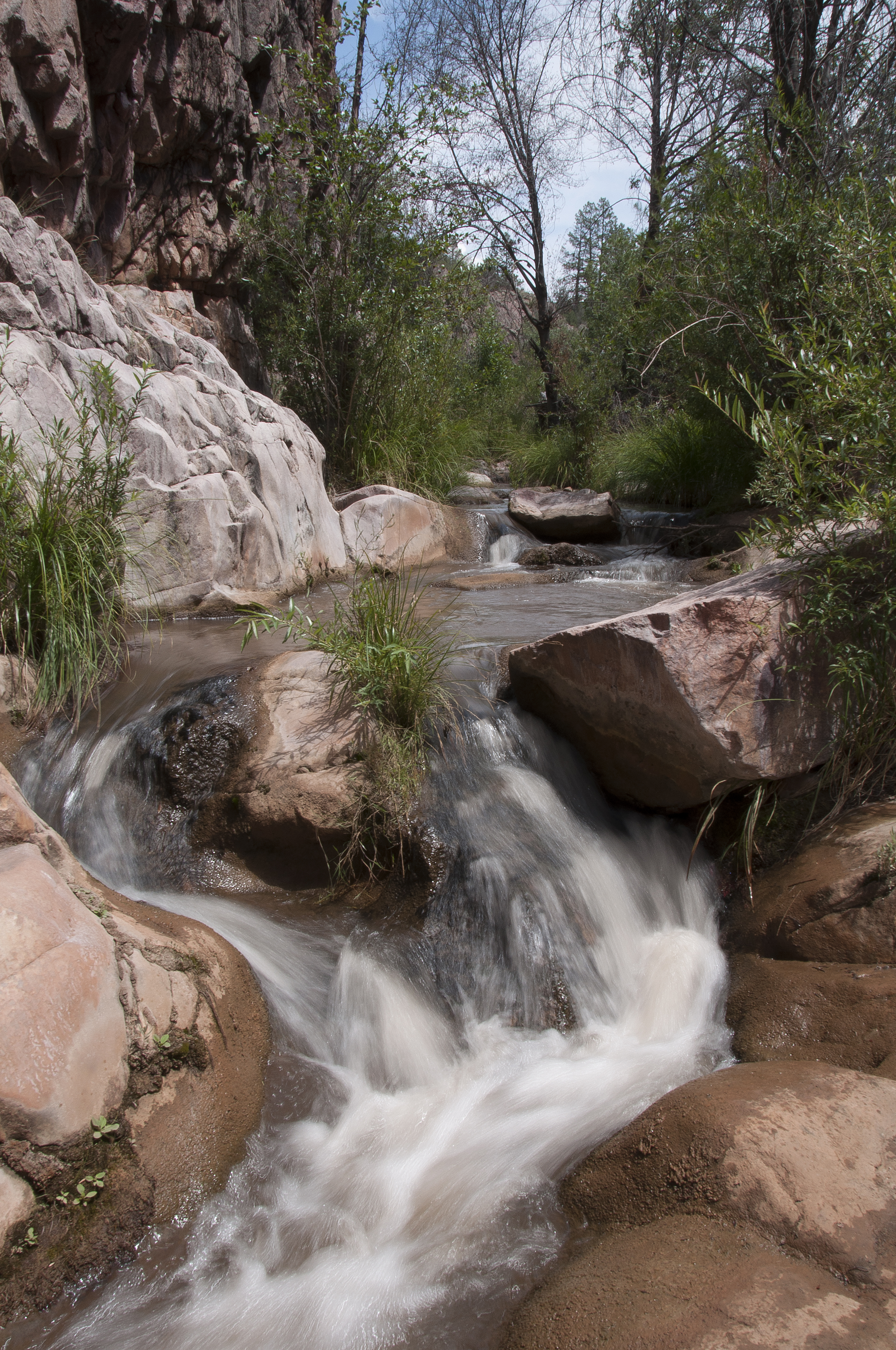
No Flow No Mo
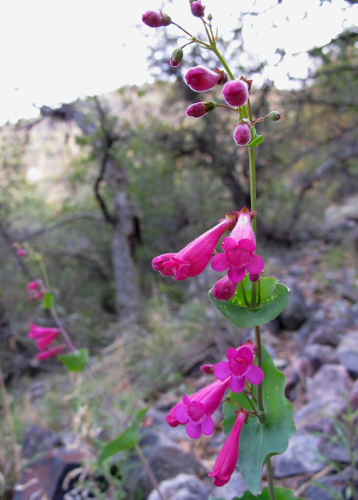
Hot Pink

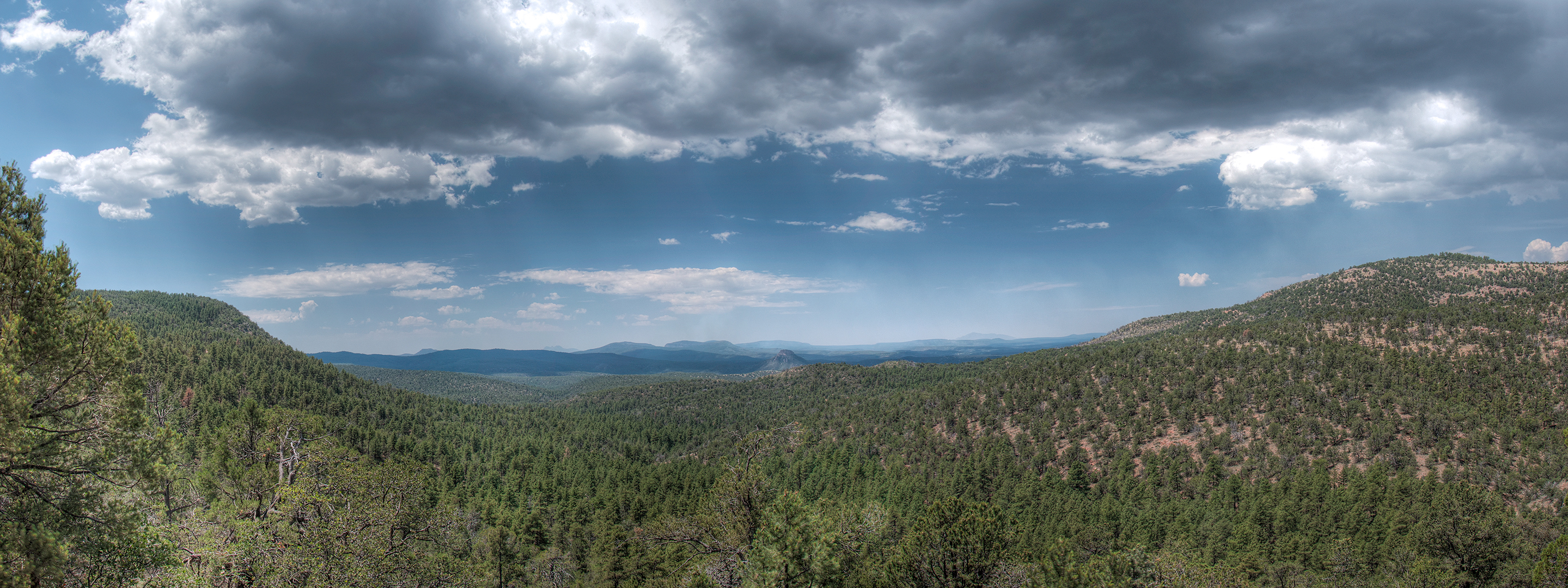
Off the Rim View

Bell Rock, Sedona

Red Rocks
Rim Road, Tonto Basin

Young, Arizona
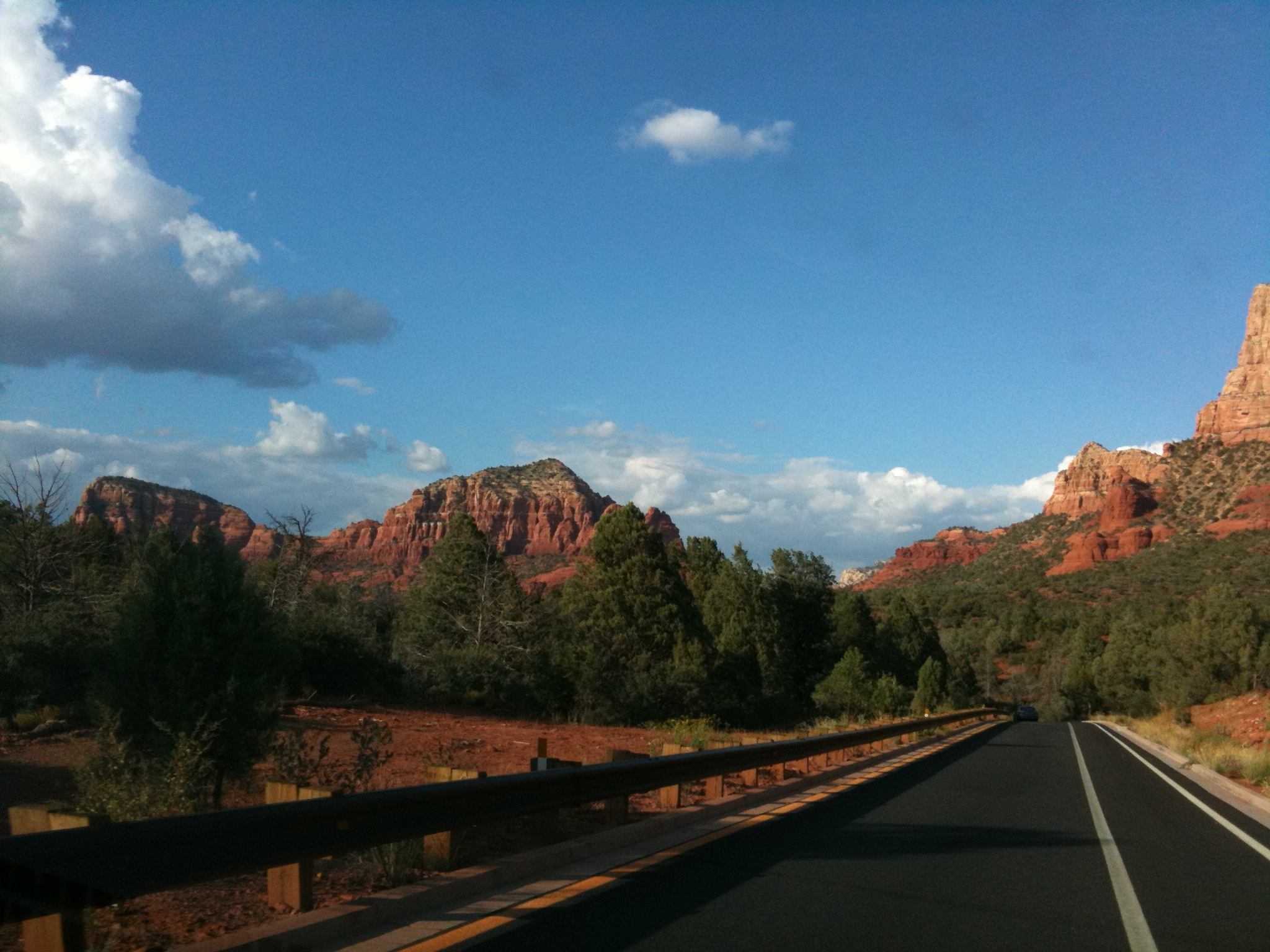
Road into Sedona

Young, Arizona

Young, Arizona

Jerky Butte
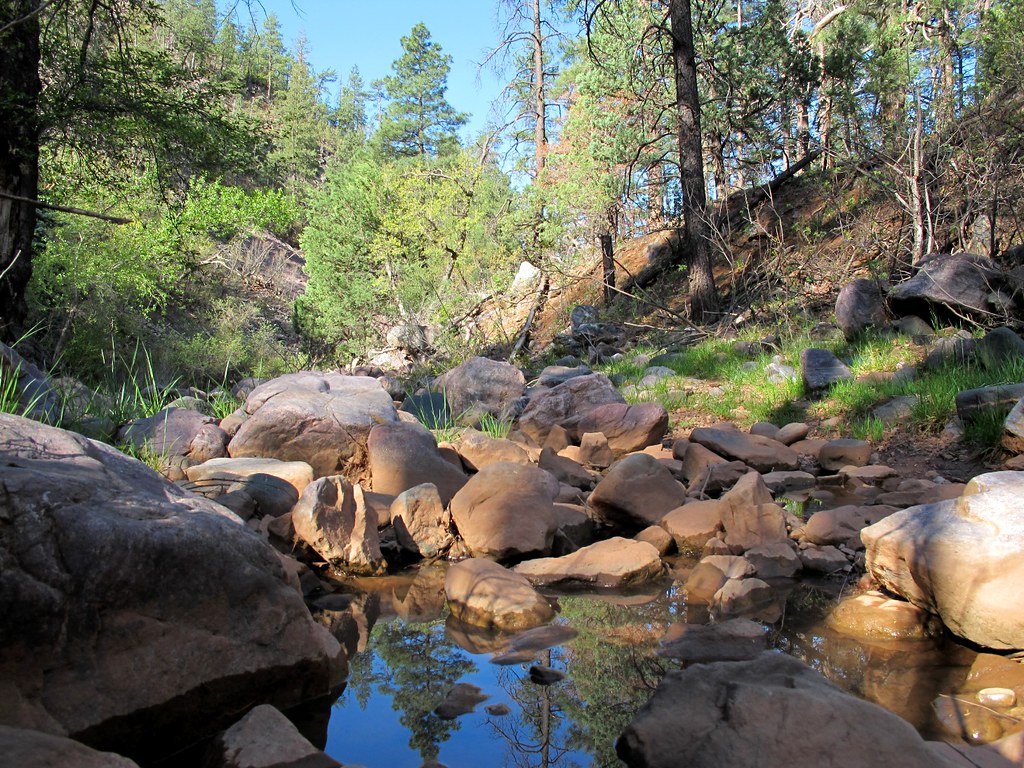
Haigler Creek 3
Haigler Creek 4
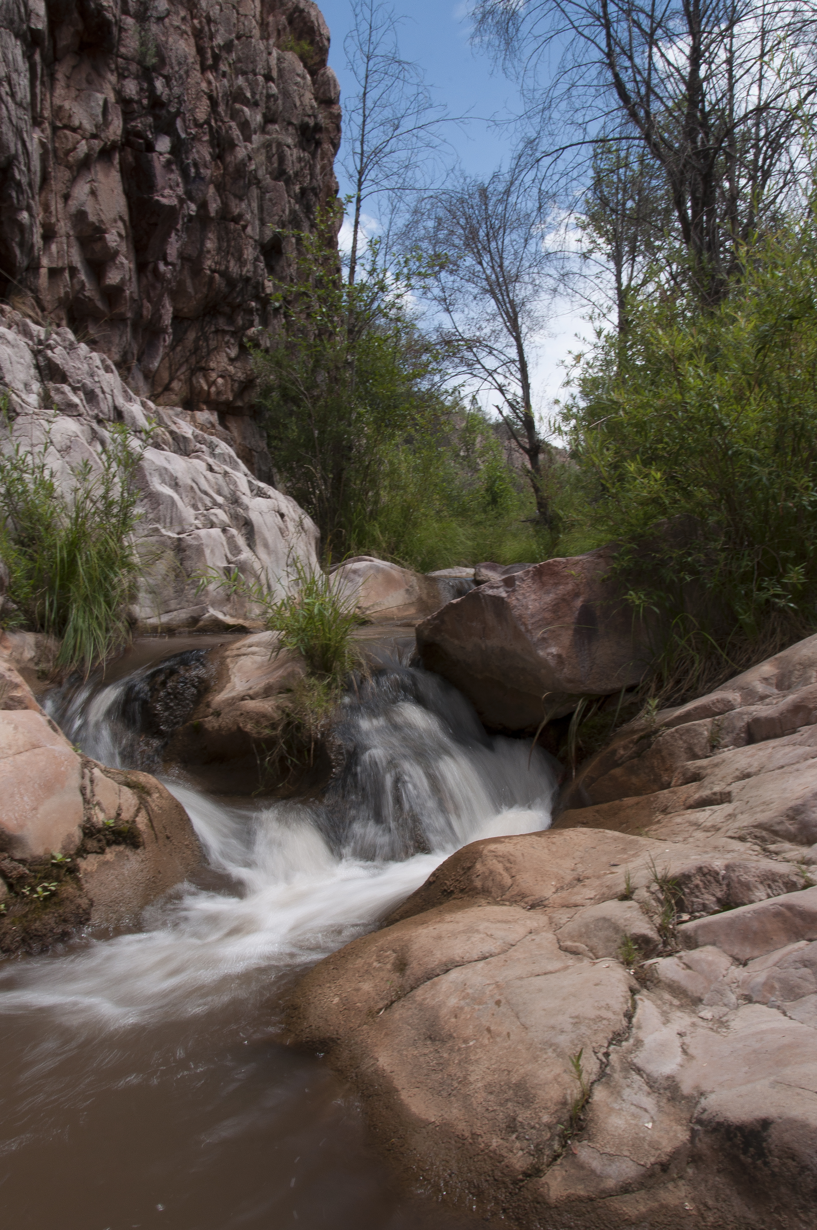
Haigler Creek 2
Topographic Map of Tewksbury Blvd, Young, AZ, USA
Find elevation by address:

Places near Tewksbury Blvd, Young, AZ, USA:
Young
Haigler Creek
Arizona
E Raccoon Dr, Payson, AZ, USA
East Ranch Road
1376 S Hunter Creek Dr
163 Wild Rose Dr
Wild Cat Circle
Mogollon Rim
Christopher Creek Loop, Payson, AZ, USA
109 W Wild Cougar Way
Willow Springs Lake
374 See Canyon Dr
Woods Canyon Lake
Canyon Point Campground
818 Wildcat Rd
818 Wildcat Rd
Forest Lakes Estates
510 Trout Springs Rd
45 Merzville Loop, Forest Lakes Estates, AZ, USA
Recent Searches:
- Elevation of Leyte Industrial Development Estate, Isabel, Leyte, Philippines
- Elevation of W Granada St, Tampa, FL, USA
- Elevation of Pykes Down, Ivybridge PL21 0BY, UK
- Elevation of Jalan Senandin, Lutong, Miri, Sarawak, Malaysia
- Elevation of Bilohirs'k
- Elevation of 30 Oak Lawn Dr, Barkhamsted, CT, USA
- Elevation of Luther Road, Luther Rd, Auburn, CA, USA
- Elevation of Unnamed Road, Respublika Severnaya Osetiya — Alaniya, Russia
- Elevation of Verkhny Fiagdon, North Ossetia–Alania Republic, Russia
- Elevation of F. Viola Hiway, San Rafael, Bulacan, Philippines