Elevation of Ave, Kimberley, BC V1A 3J2, Canada
Location: Canada > British Columbia > East Kootenay > Kimberley > Marysville >
Longitude: -115.95352
Latitude: 49.631086
Elevation: 932m / 3058feet
Barometric Pressure: 91KPa
Elevation Map:
Satellite Map:
Related Photos:
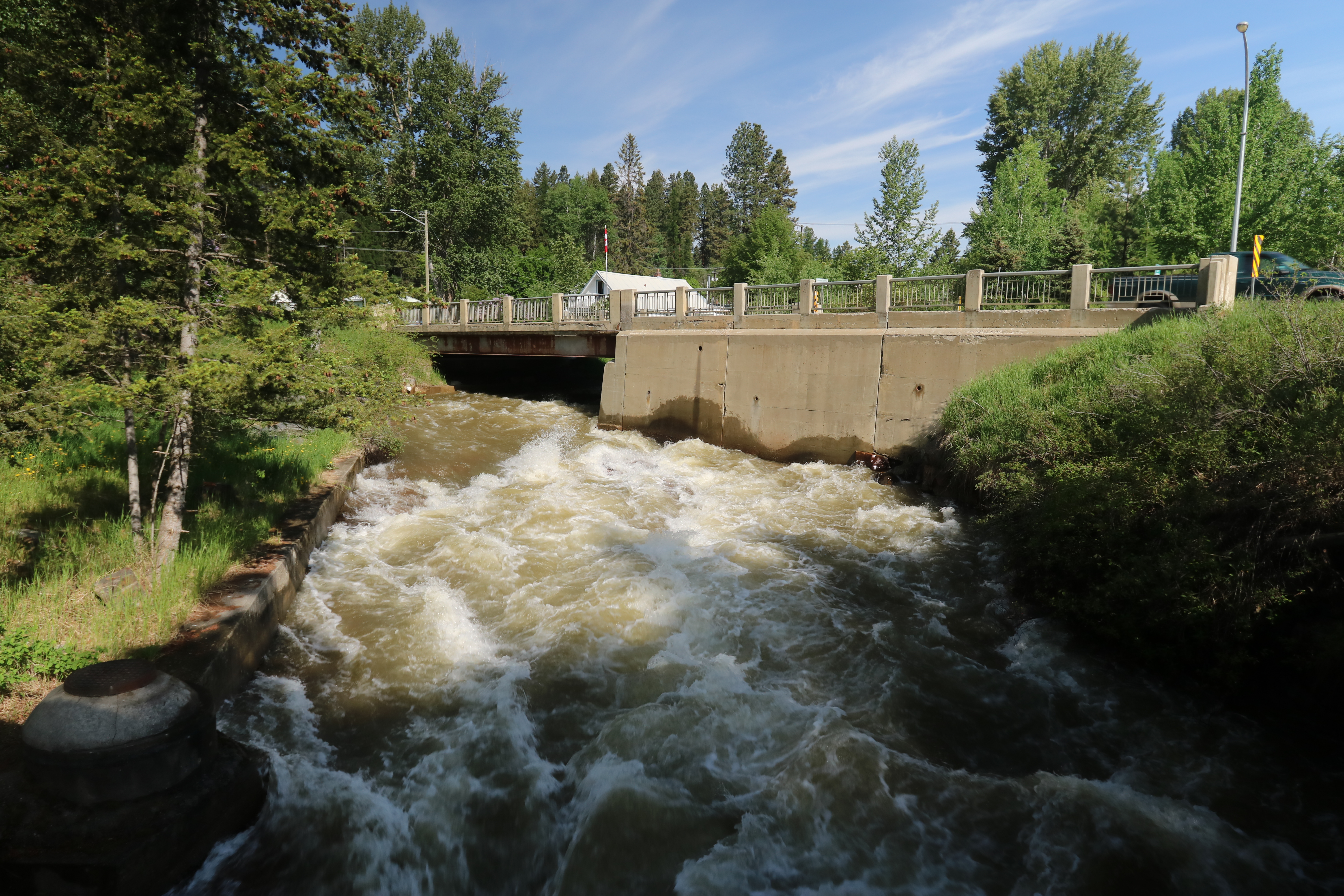
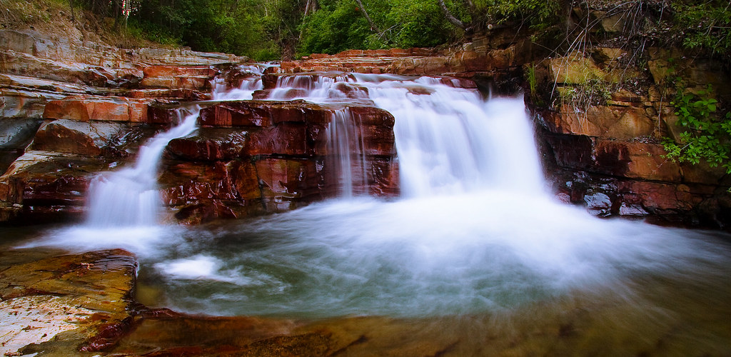
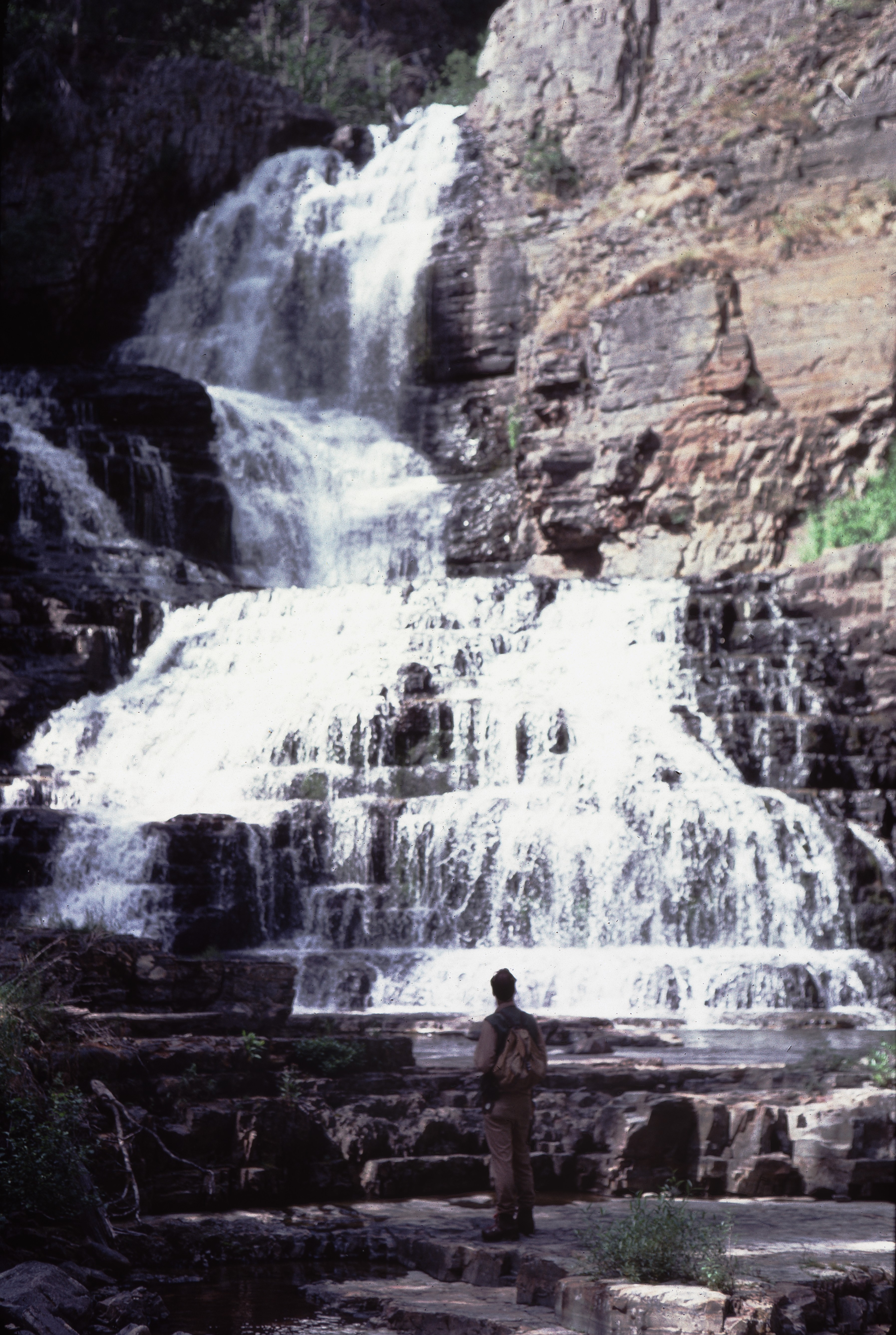
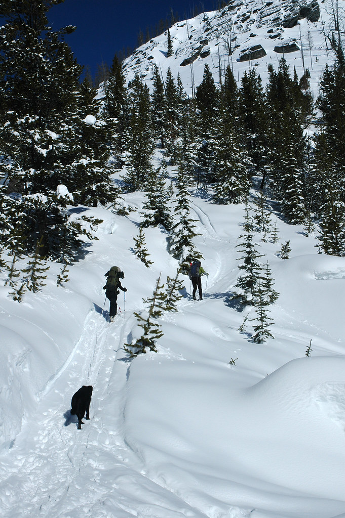
Marysville Falls British Colombia Canada

Addressing the Ball
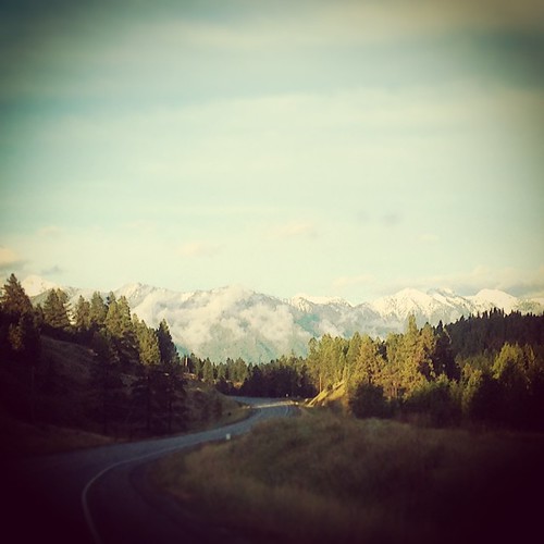
If this #view is any indication, it's going to be an amazing couple days. #beautifulbc #photographersdream #landscape #2fliesbc #Cranbrook

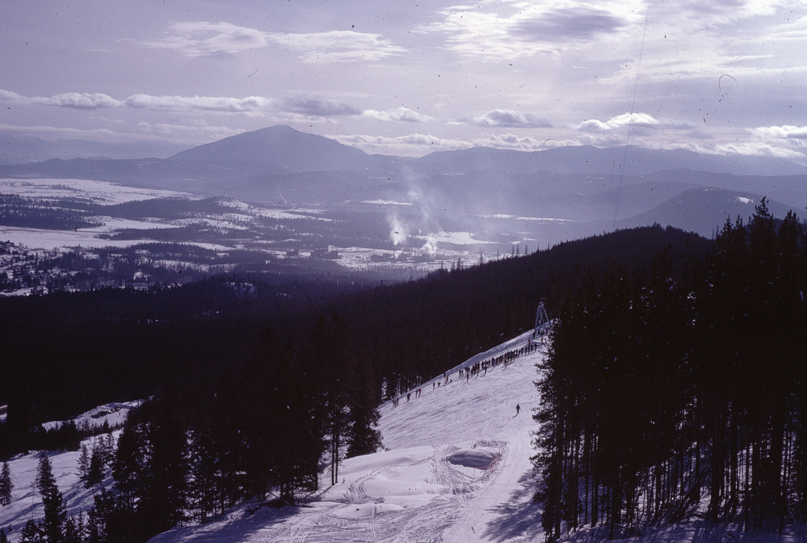
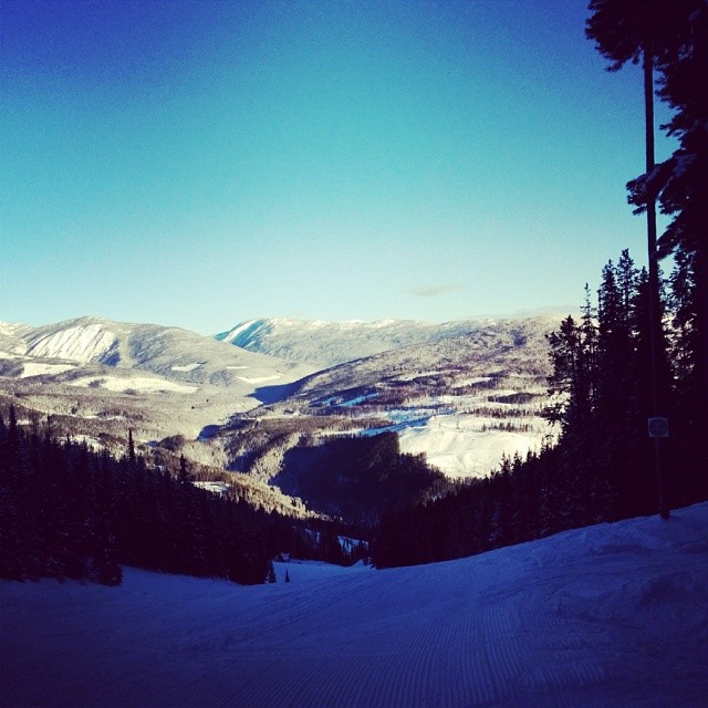
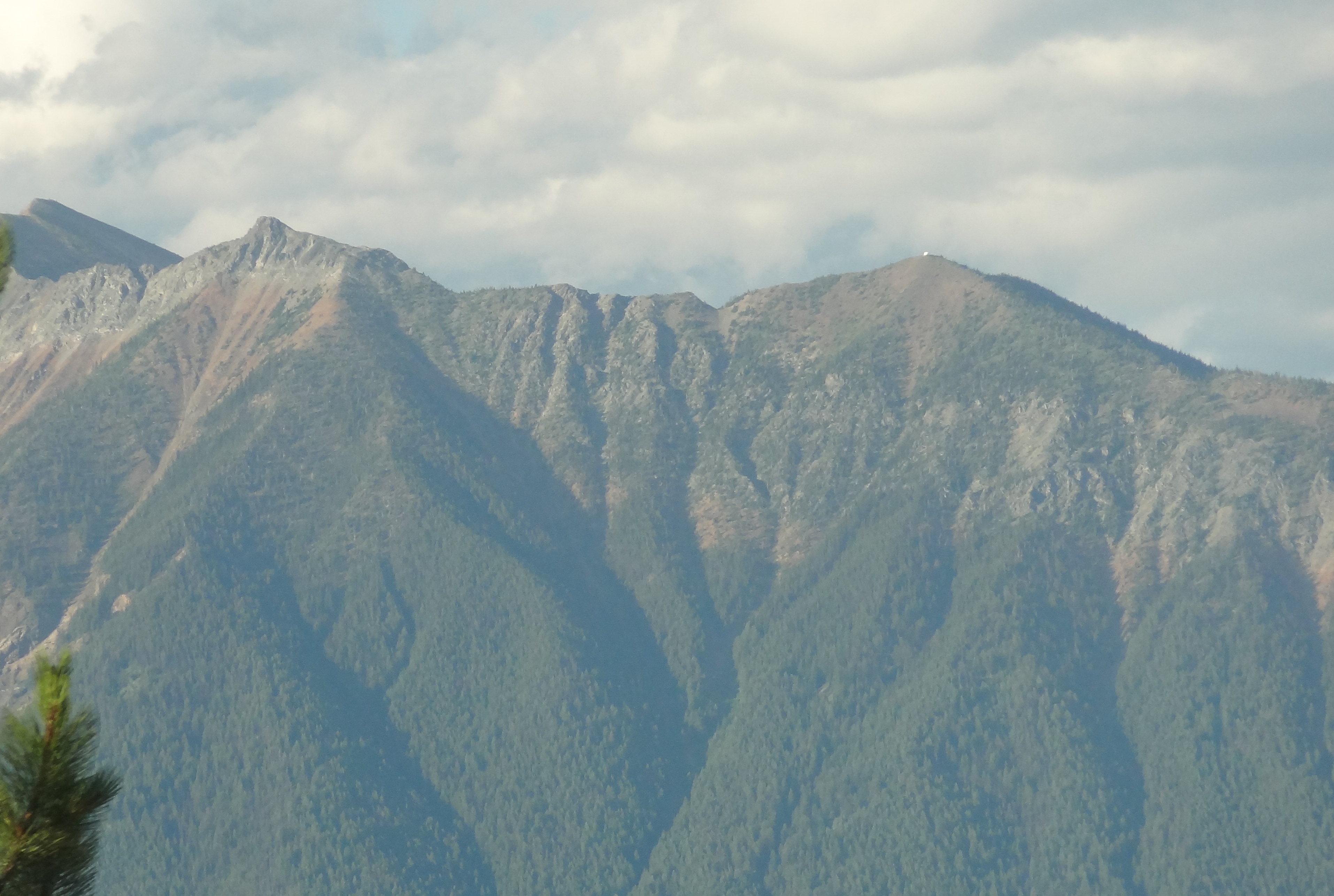
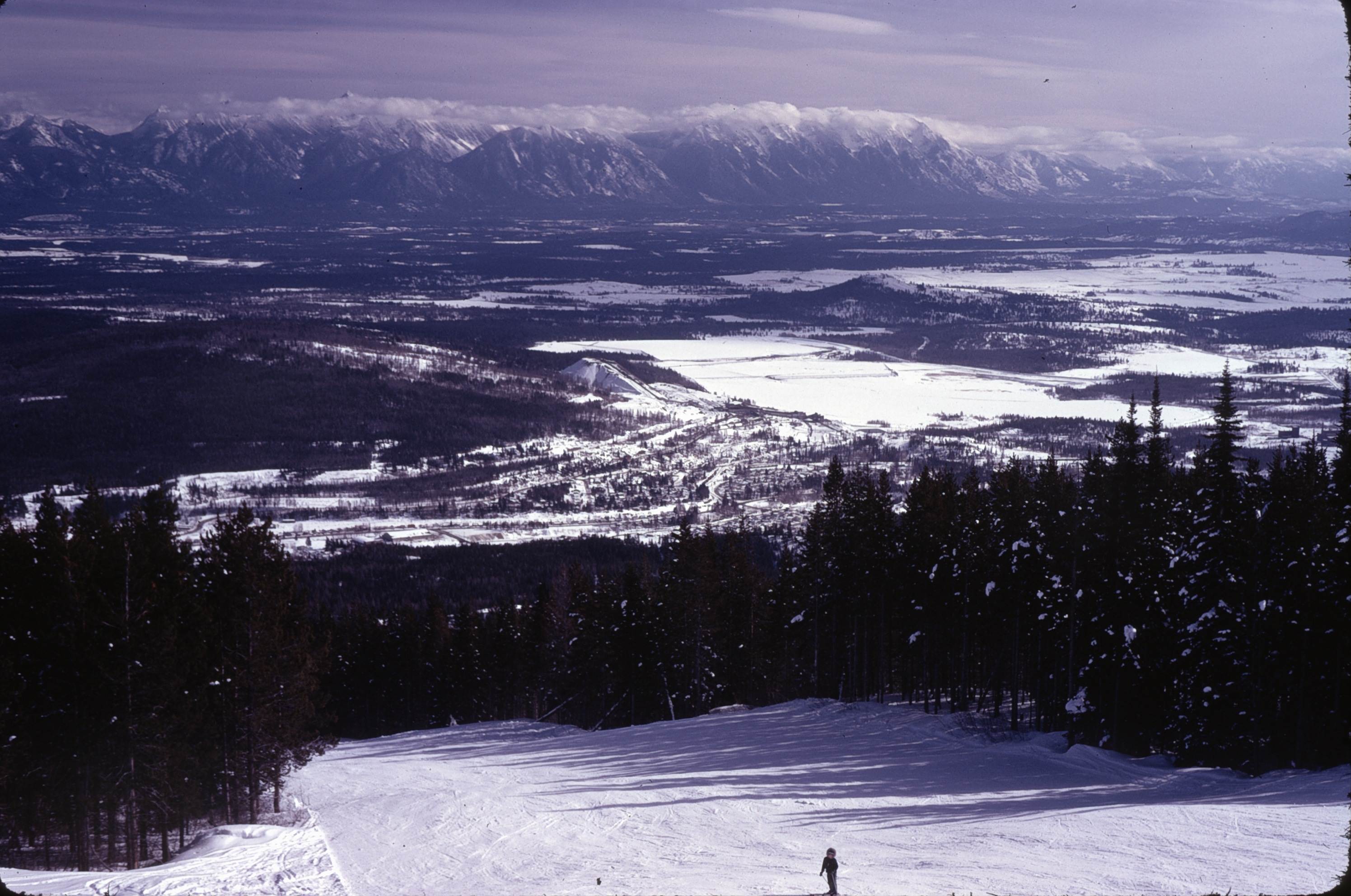
Nice view from Kimberley Ski Hill
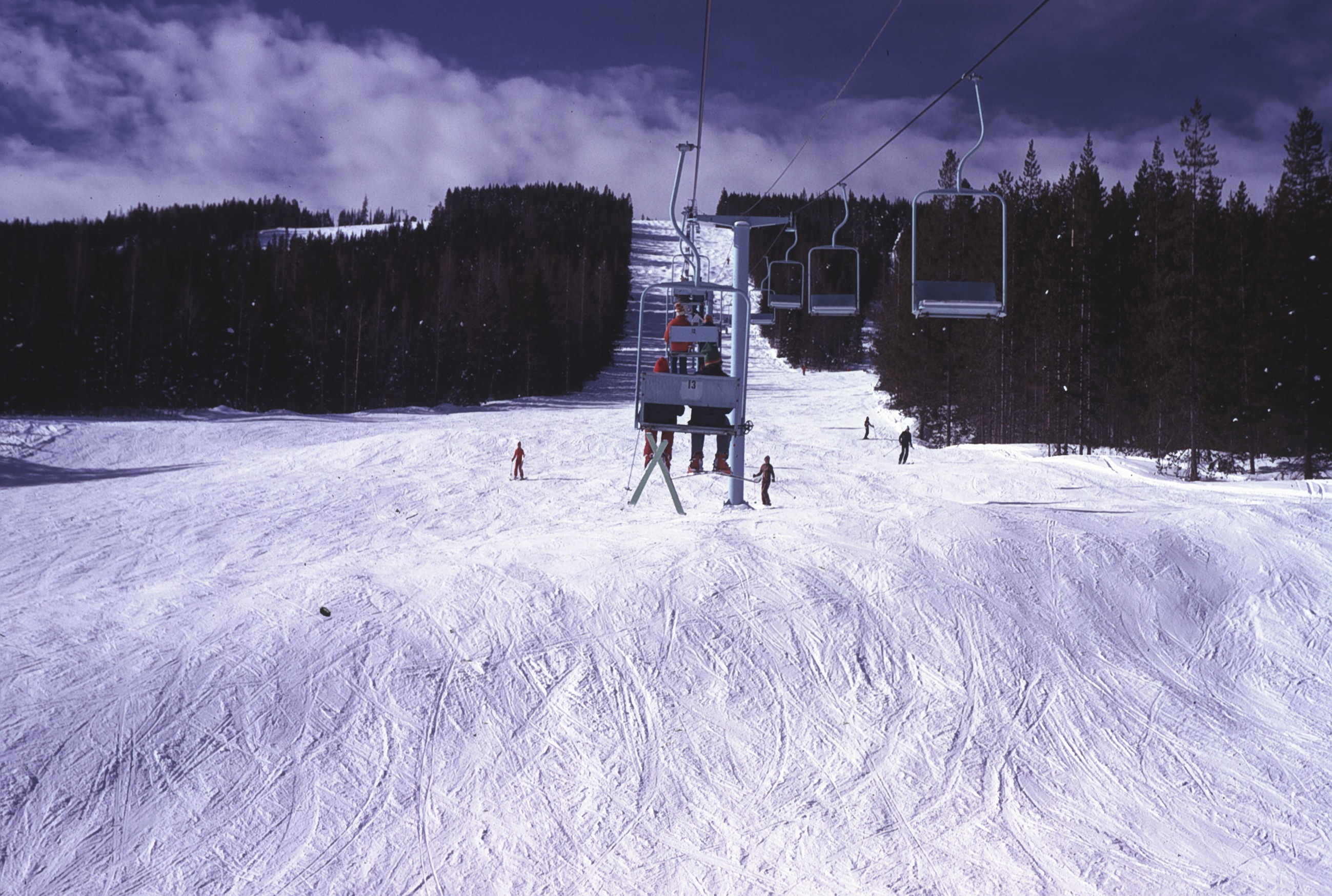
View up Chair lift
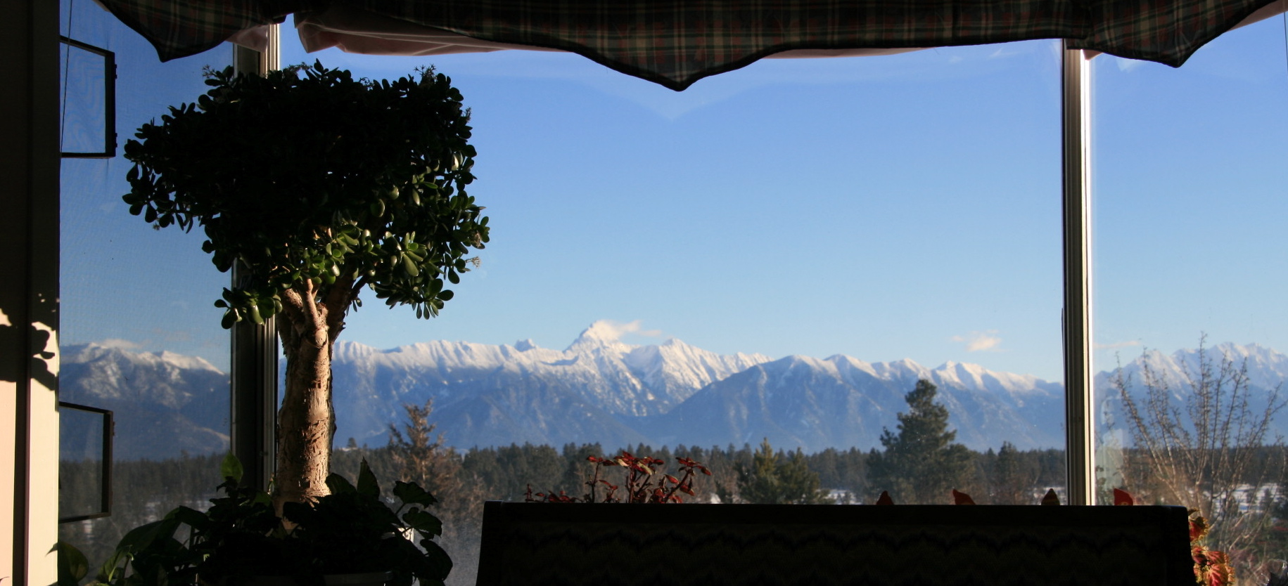
View from Living Room
View SE from Chair
View E of Steeples from Chair

view NW
view SE

Play Through or Enjoy the View

The view from my bed!
Our humble accommodations in Kimberly BC

Tee Box with as View
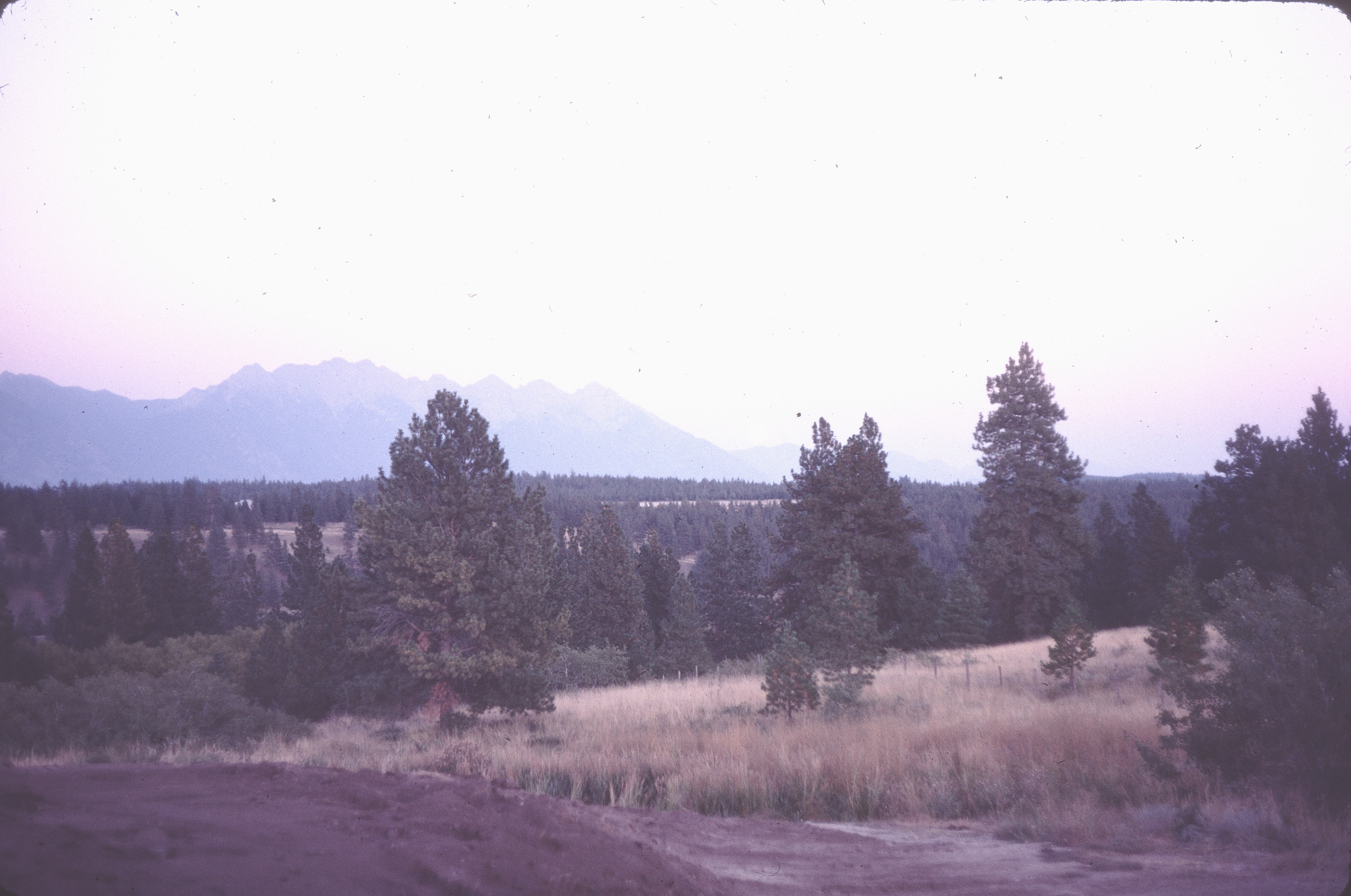
before landscaping
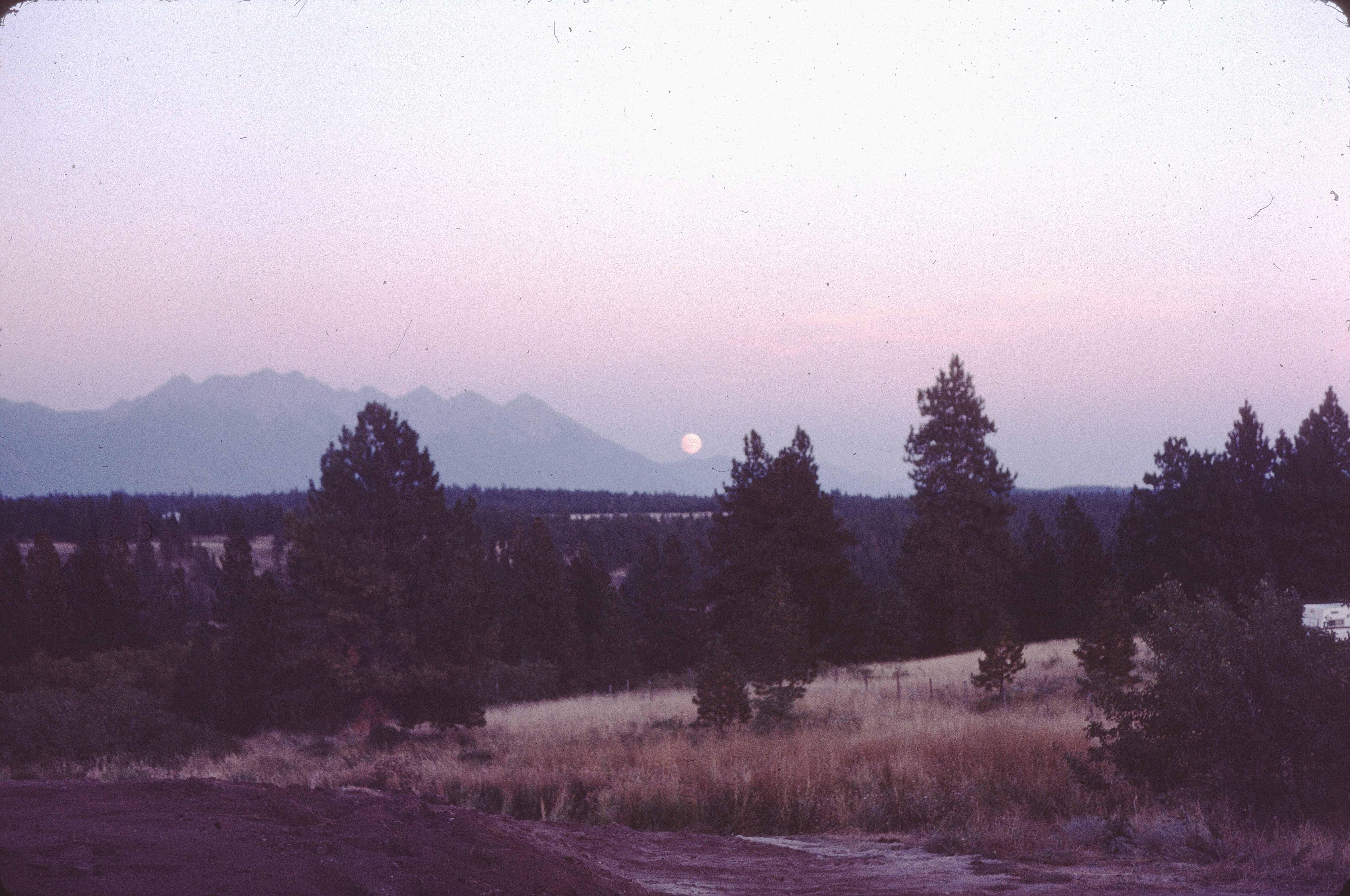
moonrise before landscaping
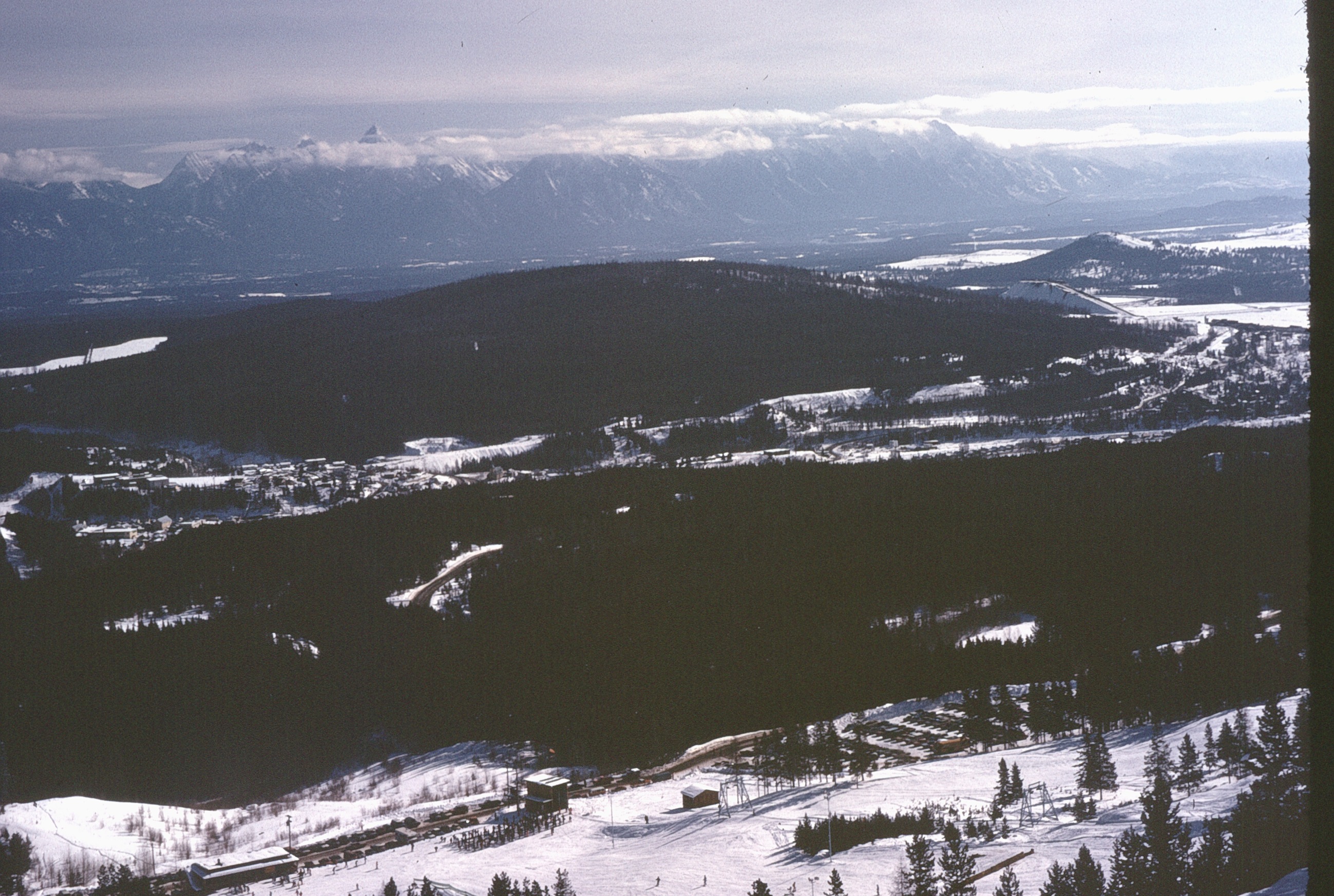
Kimberly View

Breakfast view.
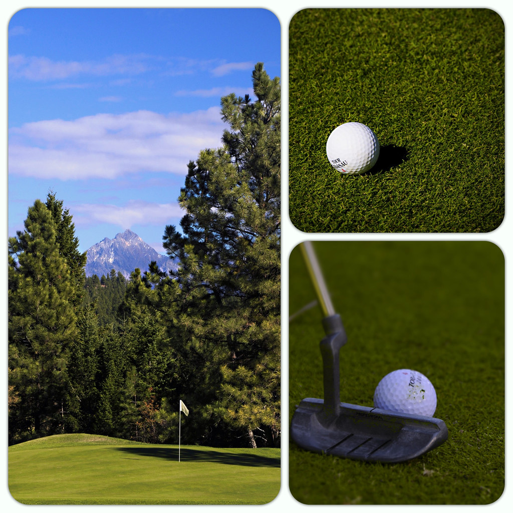
(280/366) A Round of Golf in the Shadow of Mount Fischer
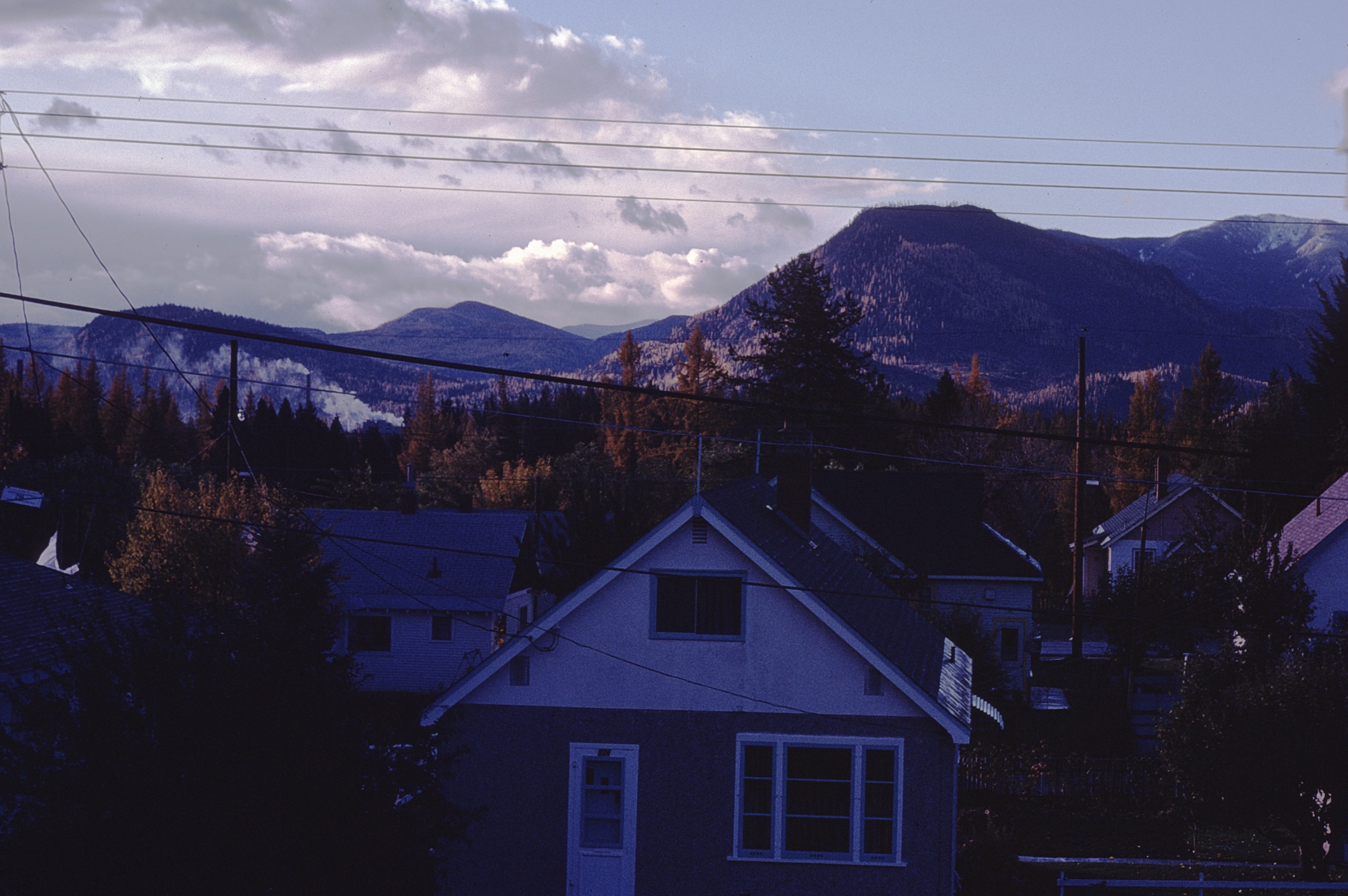
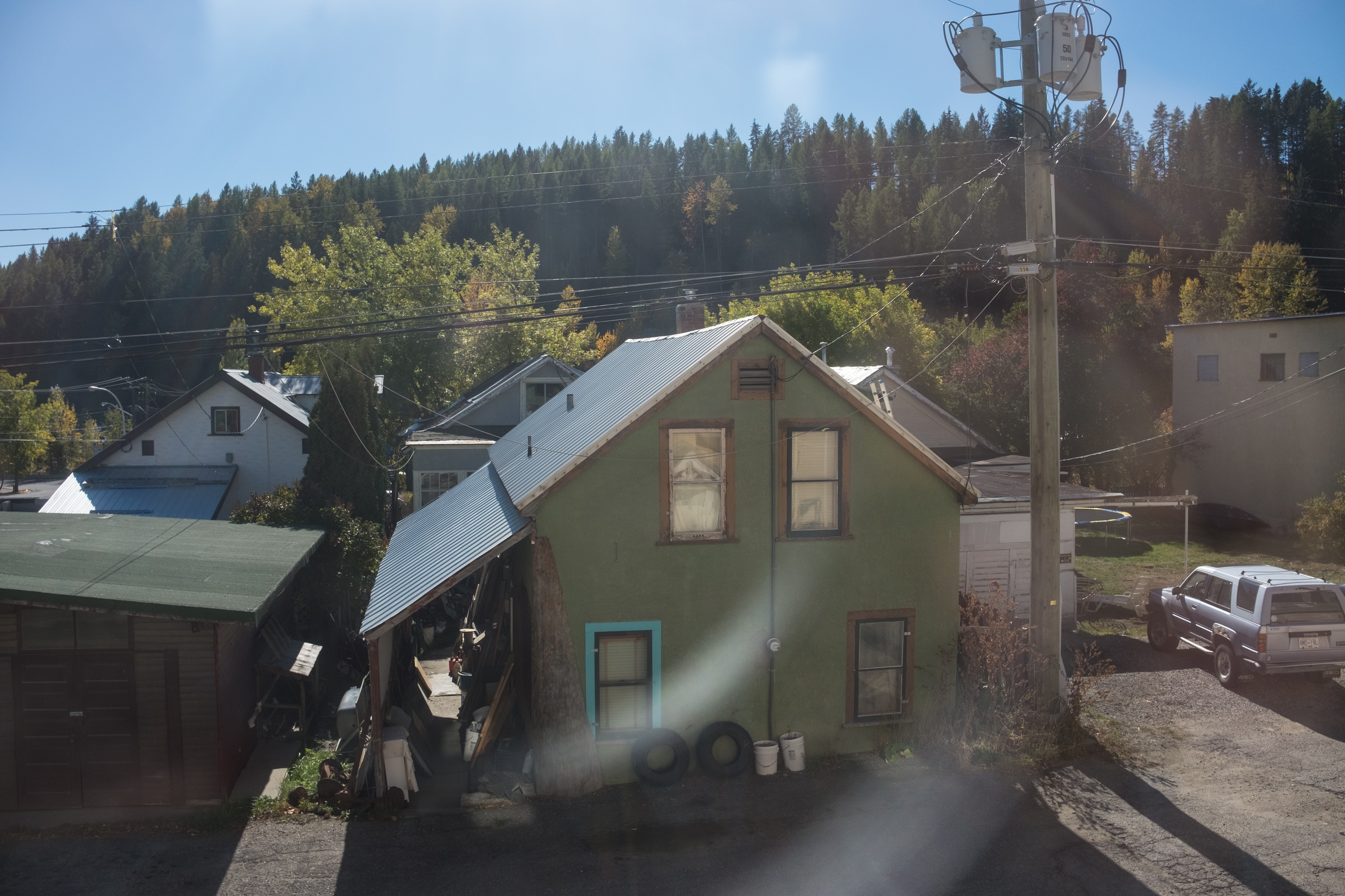
view from house
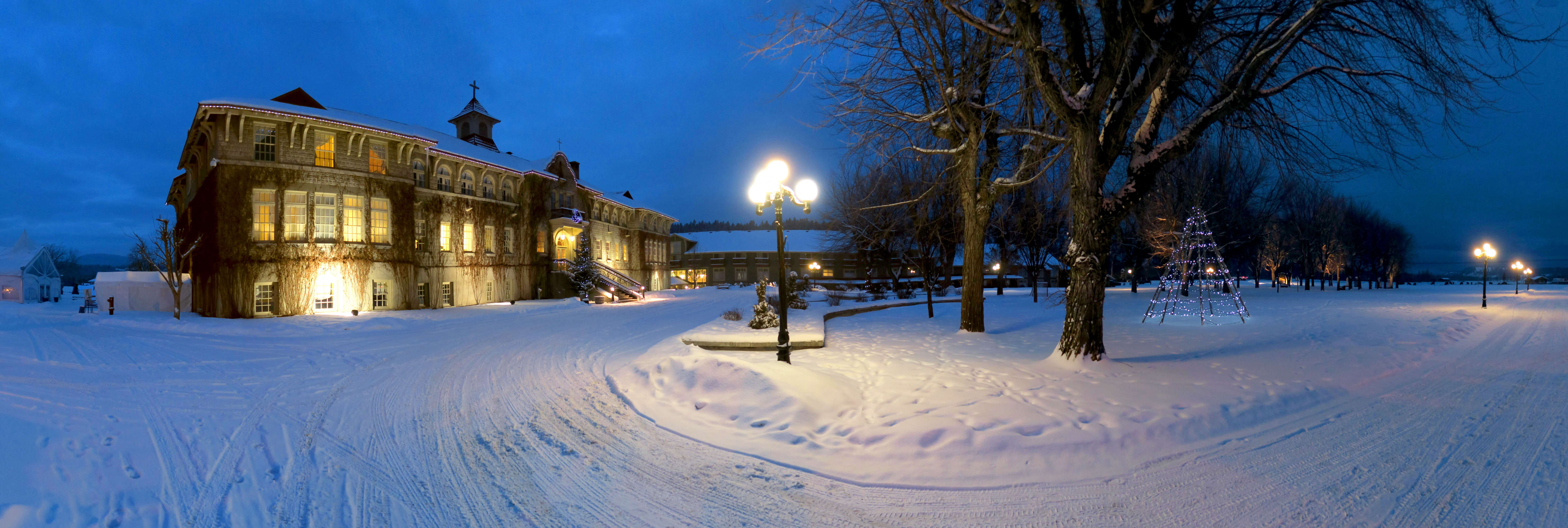
St Eugene Resort, Cranbrook BC (Canada) 2016
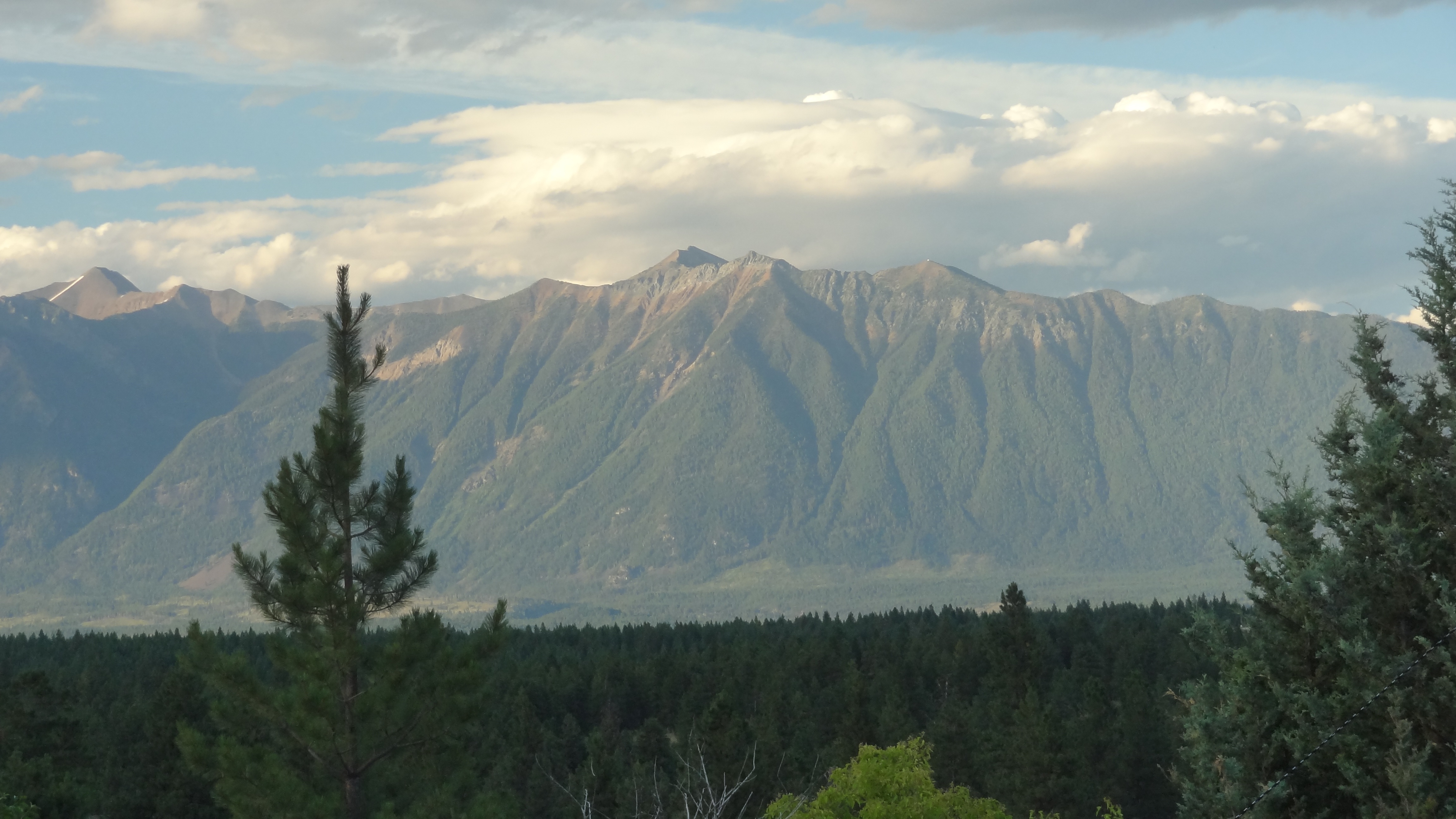
Lakit Mountain from Clearview Road
Kimberley BC - Trickle Creek colourful skies 3
Perfect day for hitting the slopes @atcheung @gen90
Canada First Week
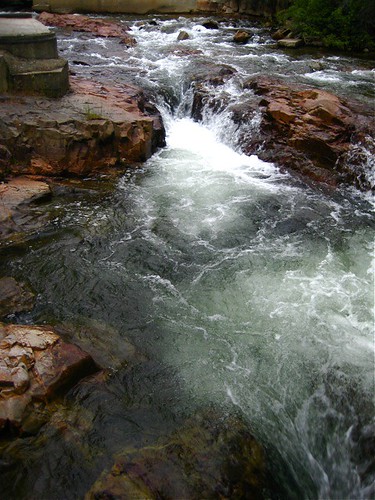
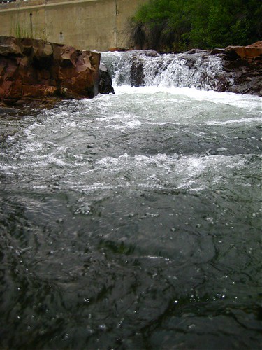
Marysville Falls

CP 8664 South, crossing St Mary's River. Kimberley Sub (April 1972)
Marysville Falls
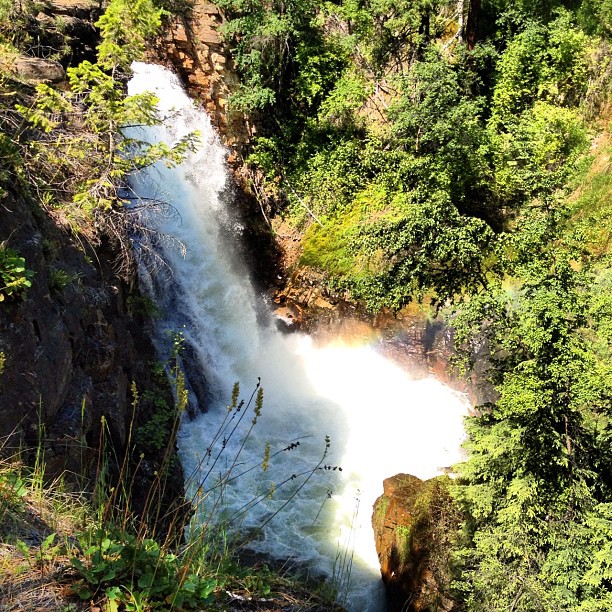
Marysville Upper Falls
Canada Trip
Canada First Week
Wycliffe 8
Lakit Mountain from Clearview Road
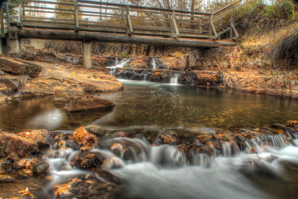
Upper Mark Creek Falls
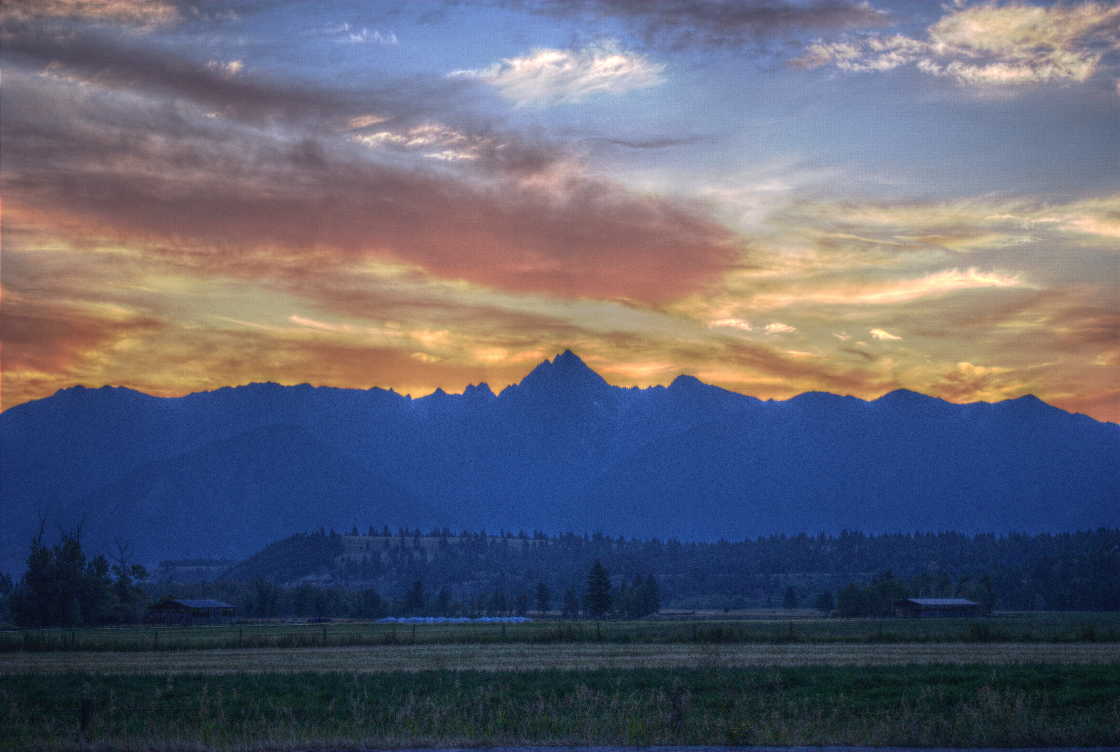
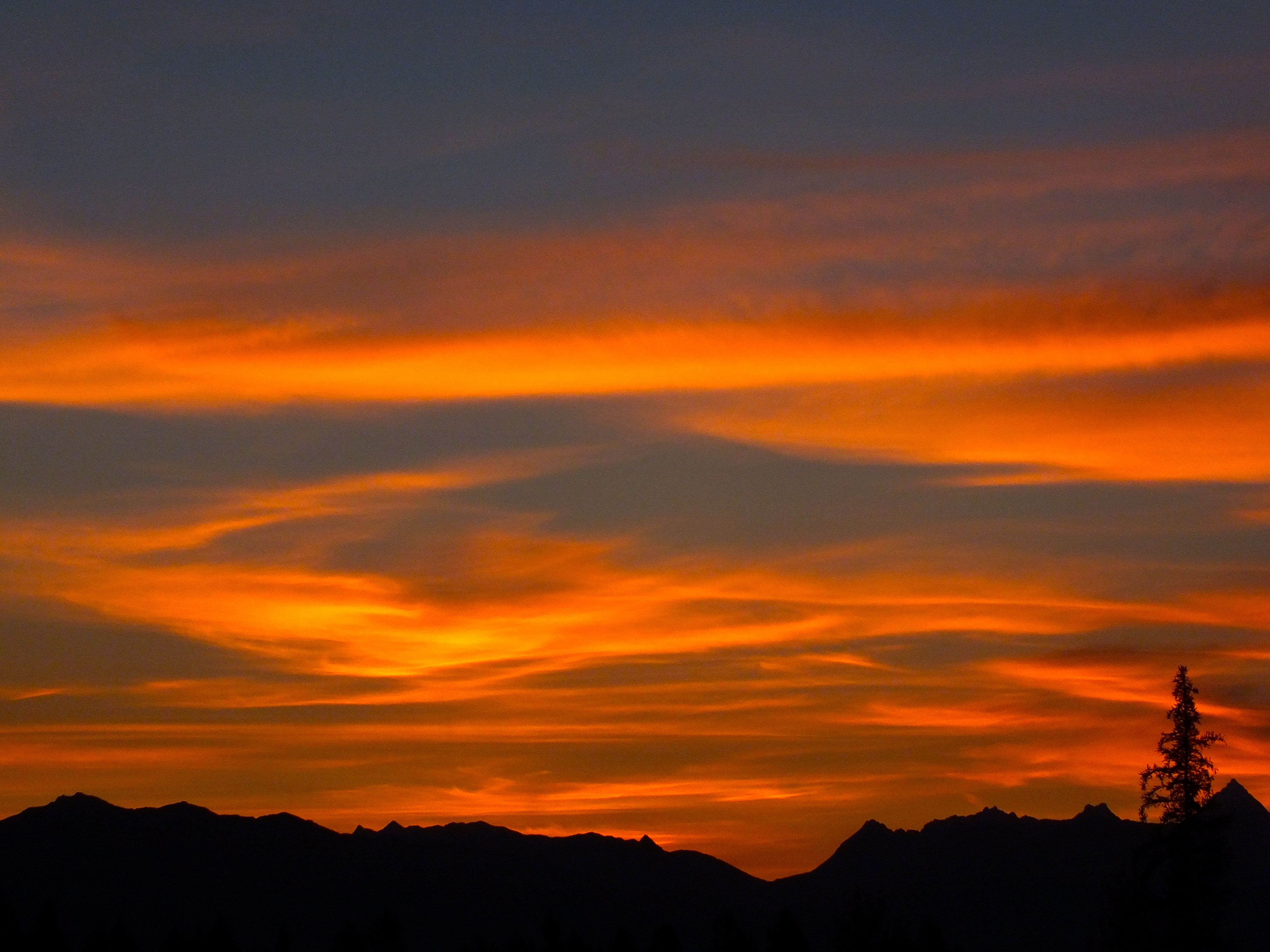
Kootenay Sunrise
Canada Trip
Goin' Up

Northern Waterthrush
Doug on Mambo
Topographic Map of Ave, Kimberley, BC V1A 3J2, Canada
Find elevation by address:

Places near Ave, Kimberley, BC V1A 3J2, Canada:
Marysville
711 304 St
771 303 St
771 303 St
Marysville Falls Trail
Ave, Kimberley, BC V1A 3G6, Canada
610 Knighton Rd
343 Ritchie St
Blarchmont
Kimberley
235 Burdett St
255 Hannay St
1642 Manor Rd
129 Norton Ave
1437 Summer Rd
Wallinger Ave, Kimberley, BC V1A 1Z5, Canada
Spokane Street
100 Deer Park Ave
120 Spokane St
71 Morrison Rd
Recent Searches:
- Elevation of Congressional Dr, Stevensville, MD, USA
- Elevation of Bellview Rd, McLean, VA, USA
- Elevation of Stage Island Rd, Chatham, MA, USA
- Elevation of Shibuya Scramble Crossing, 21 Udagawacho, Shibuya City, Tokyo -, Japan
- Elevation of Jadagoniai, Kaunas District Municipality, Lithuania
- Elevation of Pagonija rock, Kranto 7-oji g. 8"N, Kaunas, Lithuania
- Elevation of Co Rd 87, Jamestown, CO, USA
- Elevation of Tenjo, Cundinamarca, Colombia
- Elevation of Côte-des-Neiges, Montreal, QC H4A 3J6, Canada
- Elevation of Bobcat Dr, Helena, MT, USA